


Winter hike on the Rosenboden panoramic circular route
Úroveň náročnosti: 2
Fotografie našich používateľov
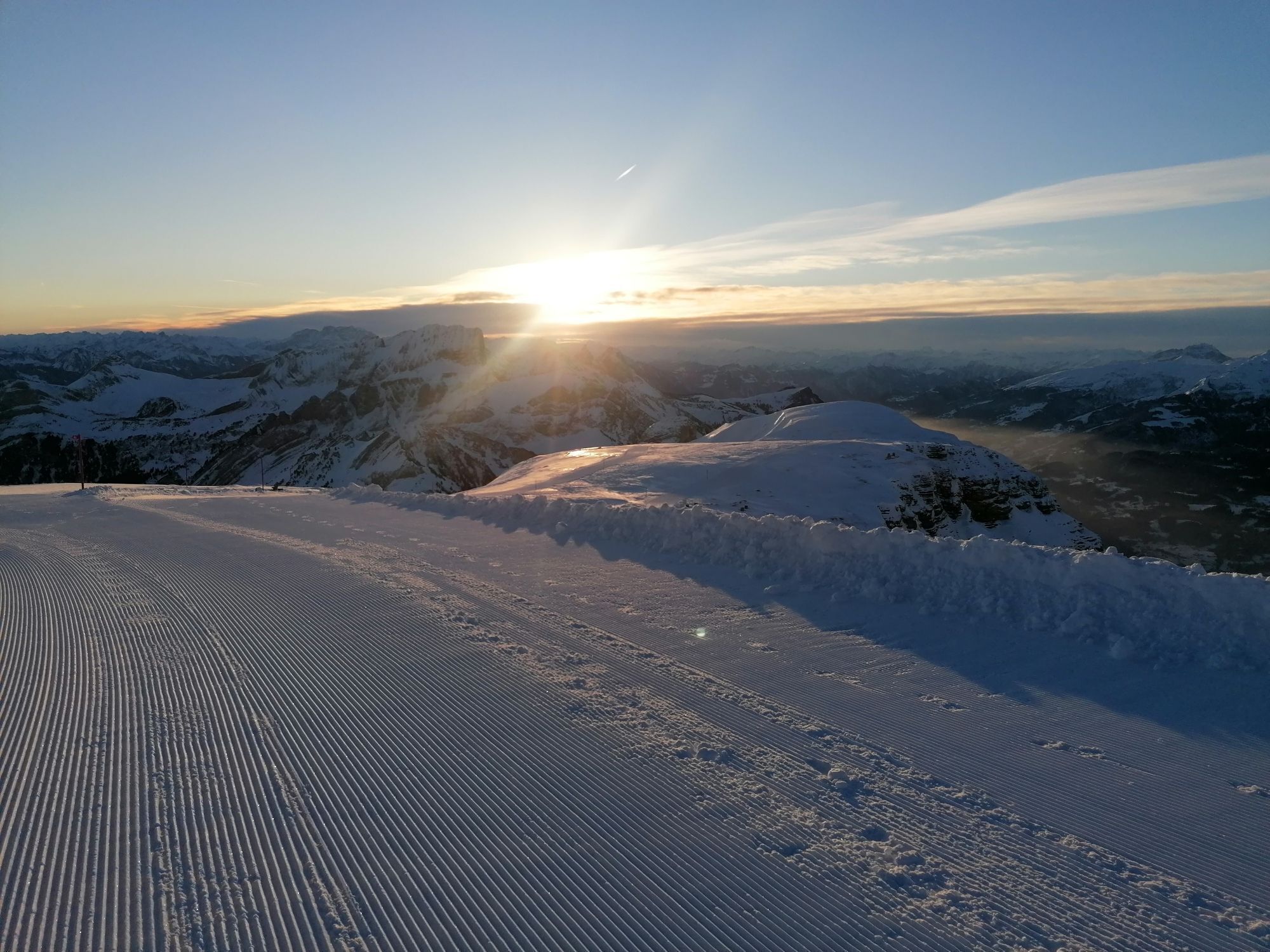
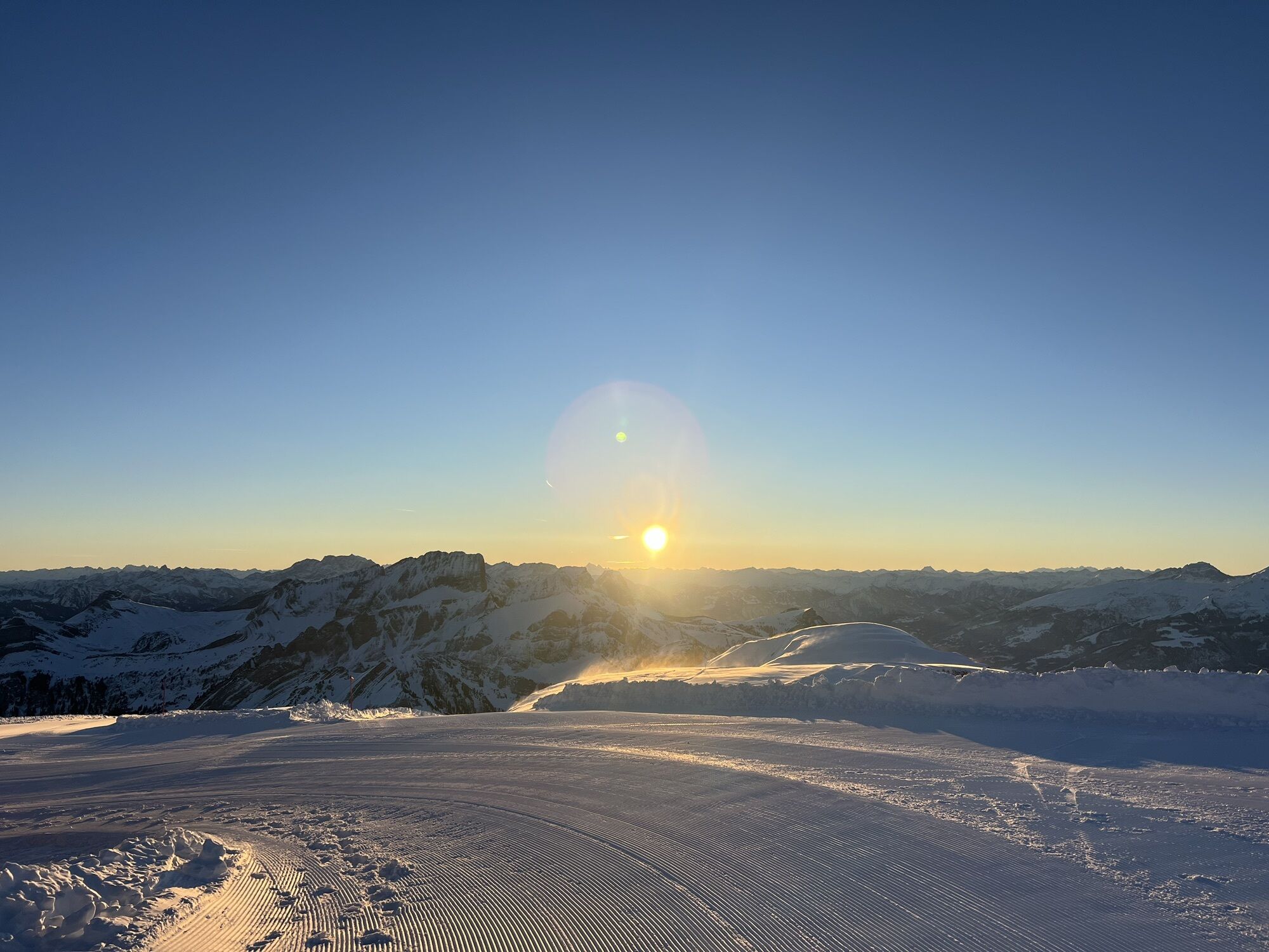
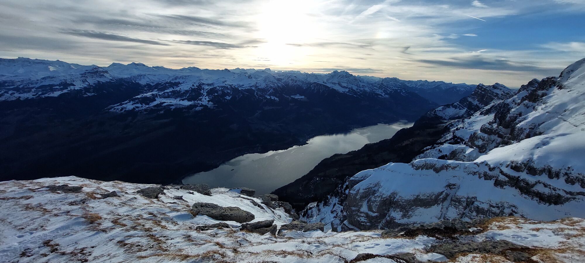
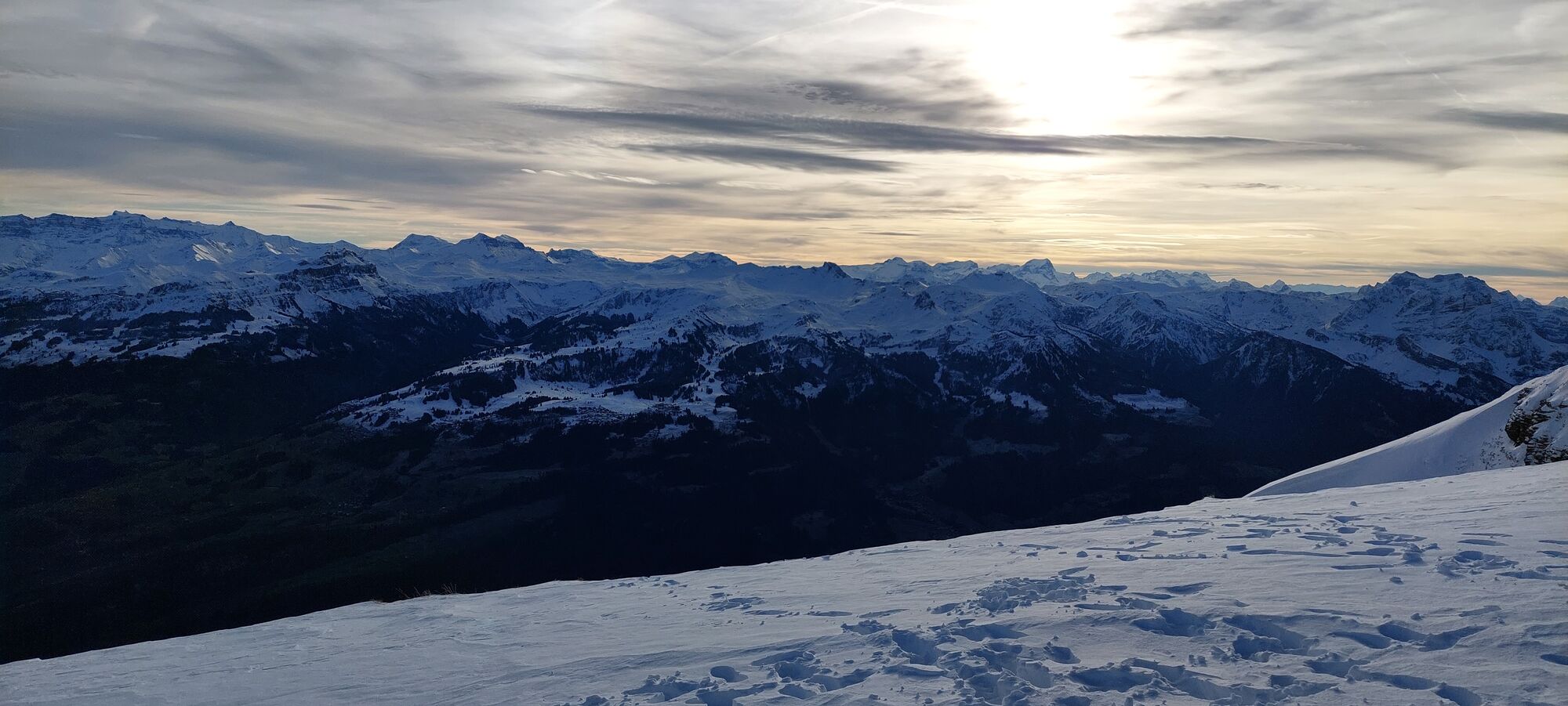
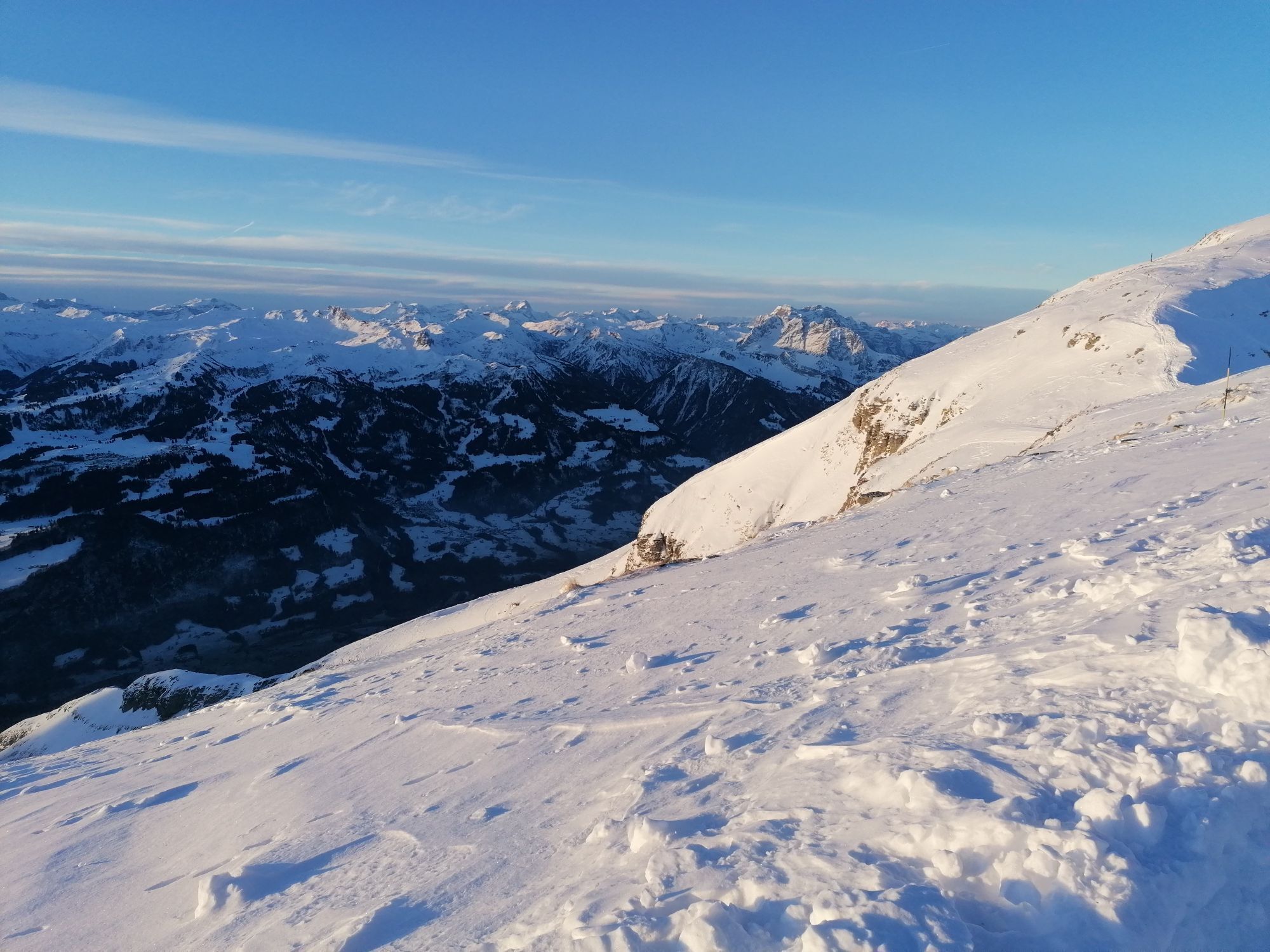
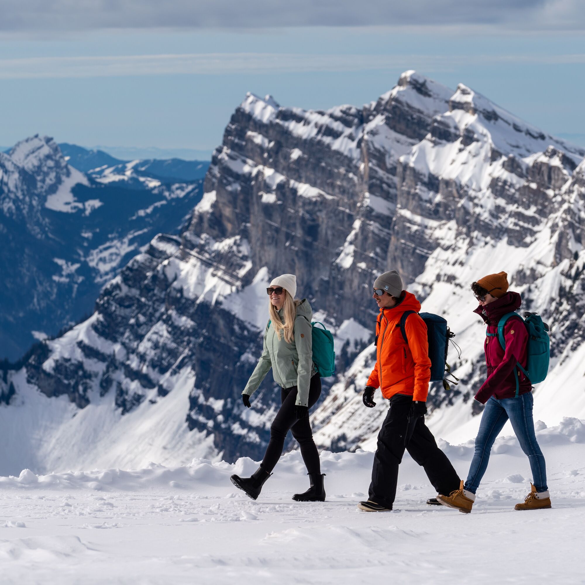
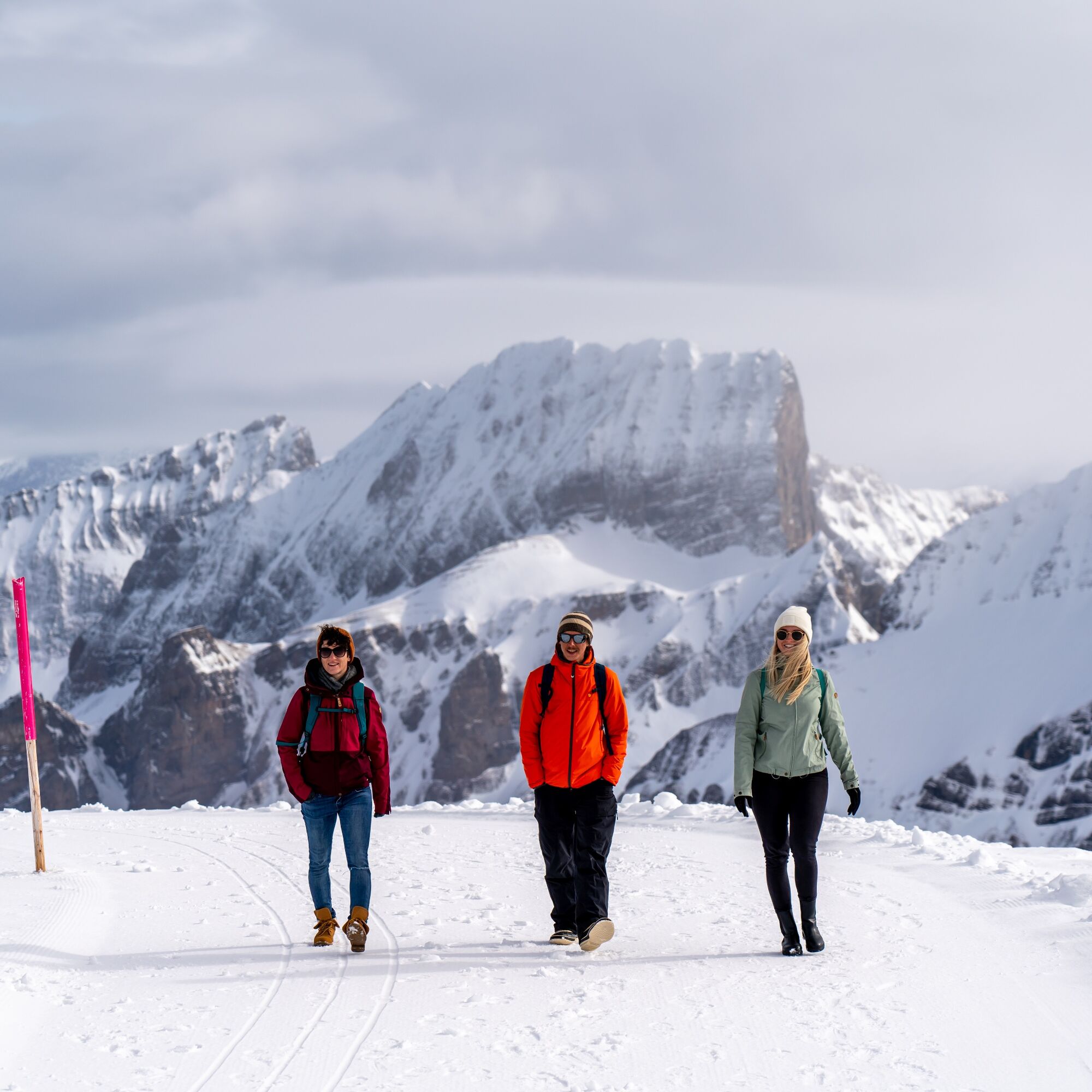
With the funicular from Unterwasser to Iltios. From there the cable car takes you to the Chäserrugg. Walk the easy circular route on the Rosenboden plateau with views of 500 mountain peaks in six countries...
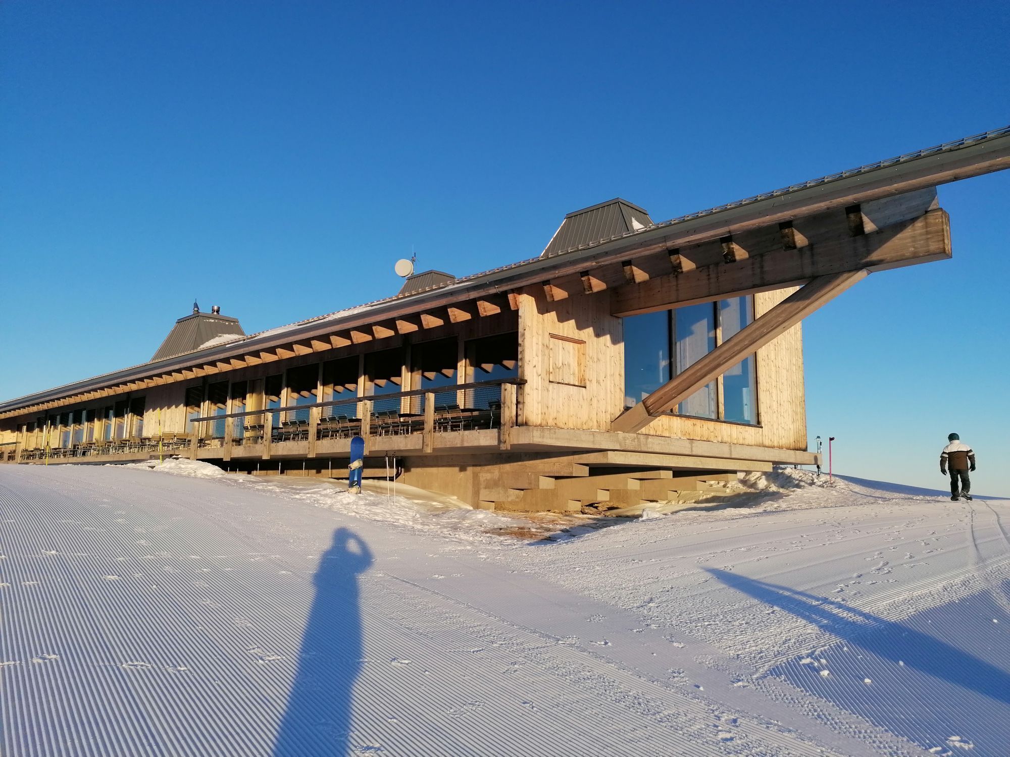
With the funicular from Unterwasser to Iltios. From there the cable car takes you to the Chäserrugg. Walk the easy circular route on the Rosenboden plateau with views of 500 mountain peaks in six countries and Lake Walen. Afterwards, let yourself be culinarly spoiled in the summit restaurant by Herzog & de Meuron.

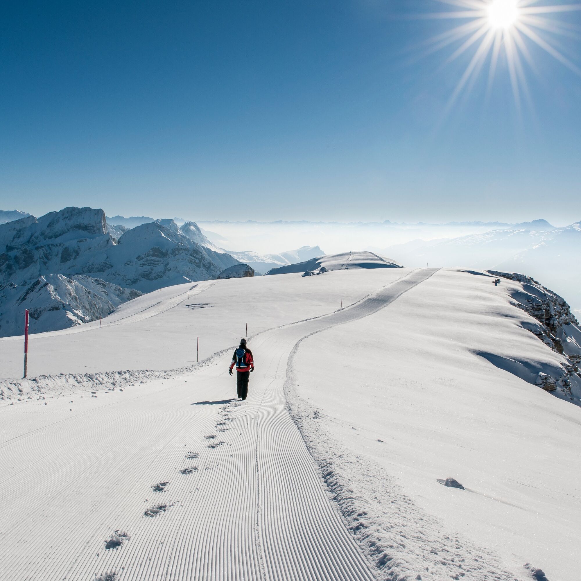

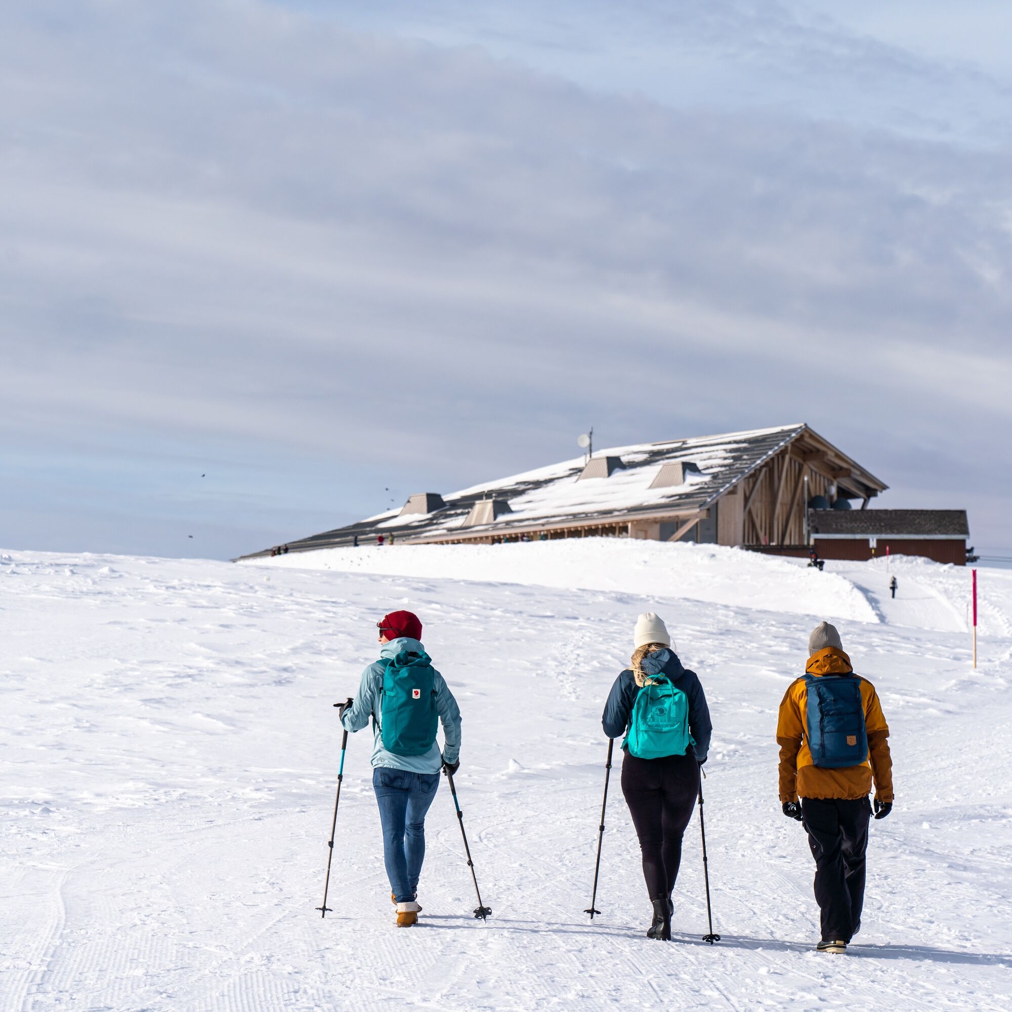
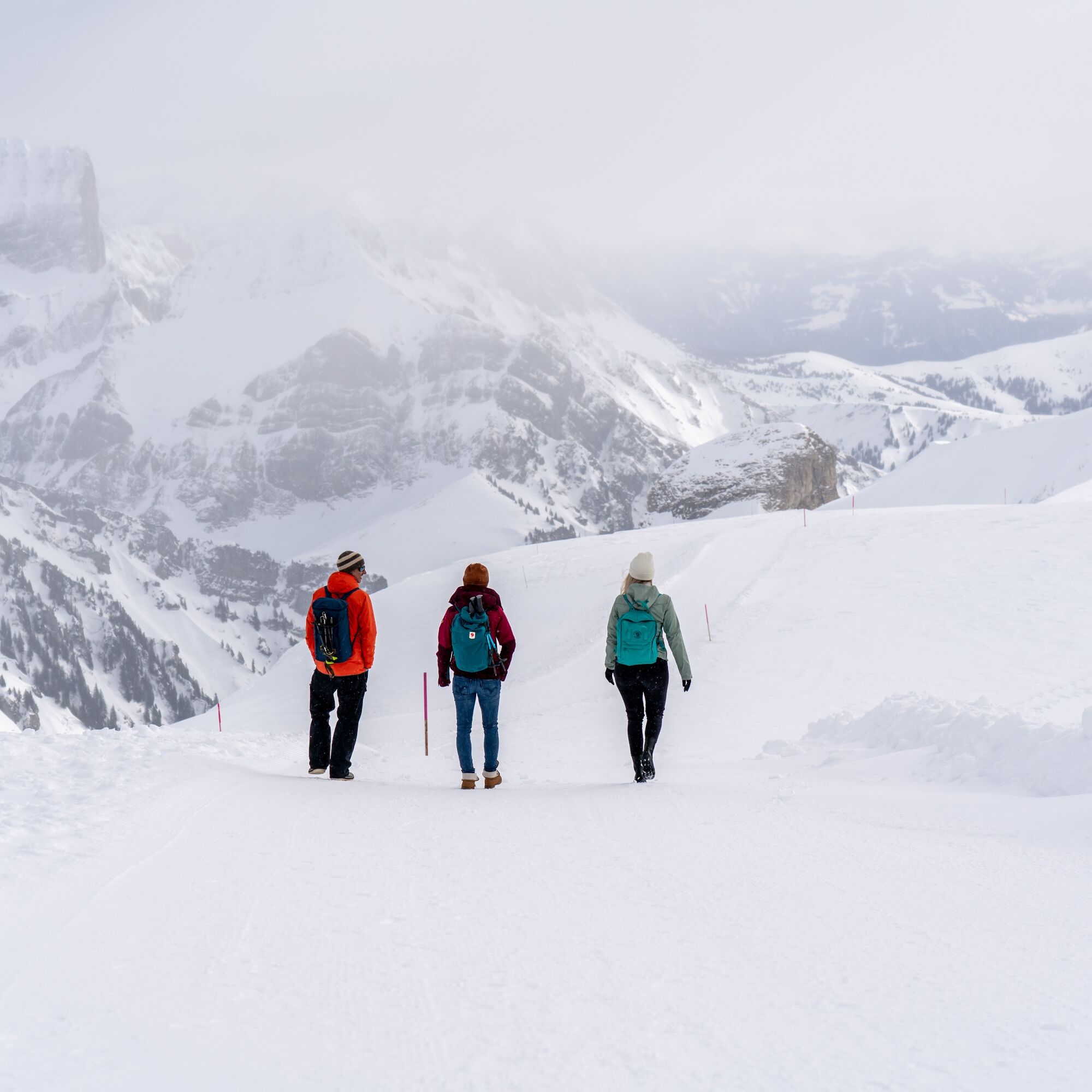
From the Chäserrugg summit restaurant, follow the signposted and well-prepared circular path on the Rosenboden plateau. The circular path takes you back to the mountain restaurant and the Chäserrugg mountain station.
Áno
Áno
Áno
Day hiking backpack (approx. 20 litres) with rain cover, comfortable and waterproof winter shoes or sturdy hiking boots, optionally crampons and gaiters, warm and weatherproof clothing in layering principle, hat/headband, scarf, gloves, sun and rain protection, provisions and drinking water, thermos with hot drink, first aid kit, pocket knife, mobile phone, optionally trekking poles
Alpine terrain. Do not leave the marked route!
- From the greater Zurich area and Central Switzerland:
On the A3 at Reichenburg towards Rapperswil and then via the Ricken Pass to Wattwil. Afterwards, go up the Toggenburg to Unterwasser.
- From Eastern Switzerland:
From St. Gallen to Herisau and further via Wasserfluh to Lichtensteig. Or from St. Gallen to Wil, take the Toggenburg exit. Follow the main road to Unterwasser.
- From southern Germany: Via Bregenz and St. Margrethen on the A13 to Haag and take the exit towards Toggenburg/Wildhaus. Or via Konstanz to Wil, then take the Toggenburg exit and follow the main road to Unterwasser.
By train to Nesslau Neu St. Johann station and then by post bus to Unterwasser village.
Or from the Rhine valley by train to Buchs SG station and further by post bus to Unterwasser village.
There are parking spaces at the valley station of the Unterwasser funicular.
2
Toggenburg Tourism
Hauptstrasse 104
9658 Wildhaus
+41 71 999 99 11
You can find the operating hours of the Toggenburg mountain railways here.
The summit building by Herzog & de Meuron on the Chäserrugg is unique in many ways and gladly serves you regional products.
Obľúbené výlety v okolí
-
4,7
Walensee Riviera Weesen - Quinten
strednáTuristika 10,2 km -
4,7
Riviera Lake Walen Walenstadt-Quinten
strednáTuristika 10,4 km -
4,9
Säntis-Gipfeltour, Wasserauen / Appenzell Innerrhoden
ťažkéTuristika 21,1 km -
5,0
Staubern-Runde (15.8.2021)
strednáTuristika 8,65 km -
4,7
Alvier
strednáTuristika 3,33 km -
4,6
4-Summit-Route Flumserberg
strednáTuristika 8,65 km -
4,6
Schwägalp - Berggasthaus Tierwies - Girenspitz - Säntis
ťažkéTuristika 4,83 km -
5,0
Schrina Alp and Cultural Trail
strednáTematická trasa 11,5 km -
4,6
Frümsen - Saxerlücke - Staubern, Schweiz
strednáTuristika 14,0 km -
4,7
Quinten-Trail 453
strednáBeh 8,97 km

Turistika a stopovanie


Nenechajte si ujsť ponuky a inšpiráciu na ďalšiu dovolenku
Vaša e-mailová adresa bol pridaný do poštového zoznamu.