


Tannenboden - Seebenalp
Úroveň náročnosti: 3
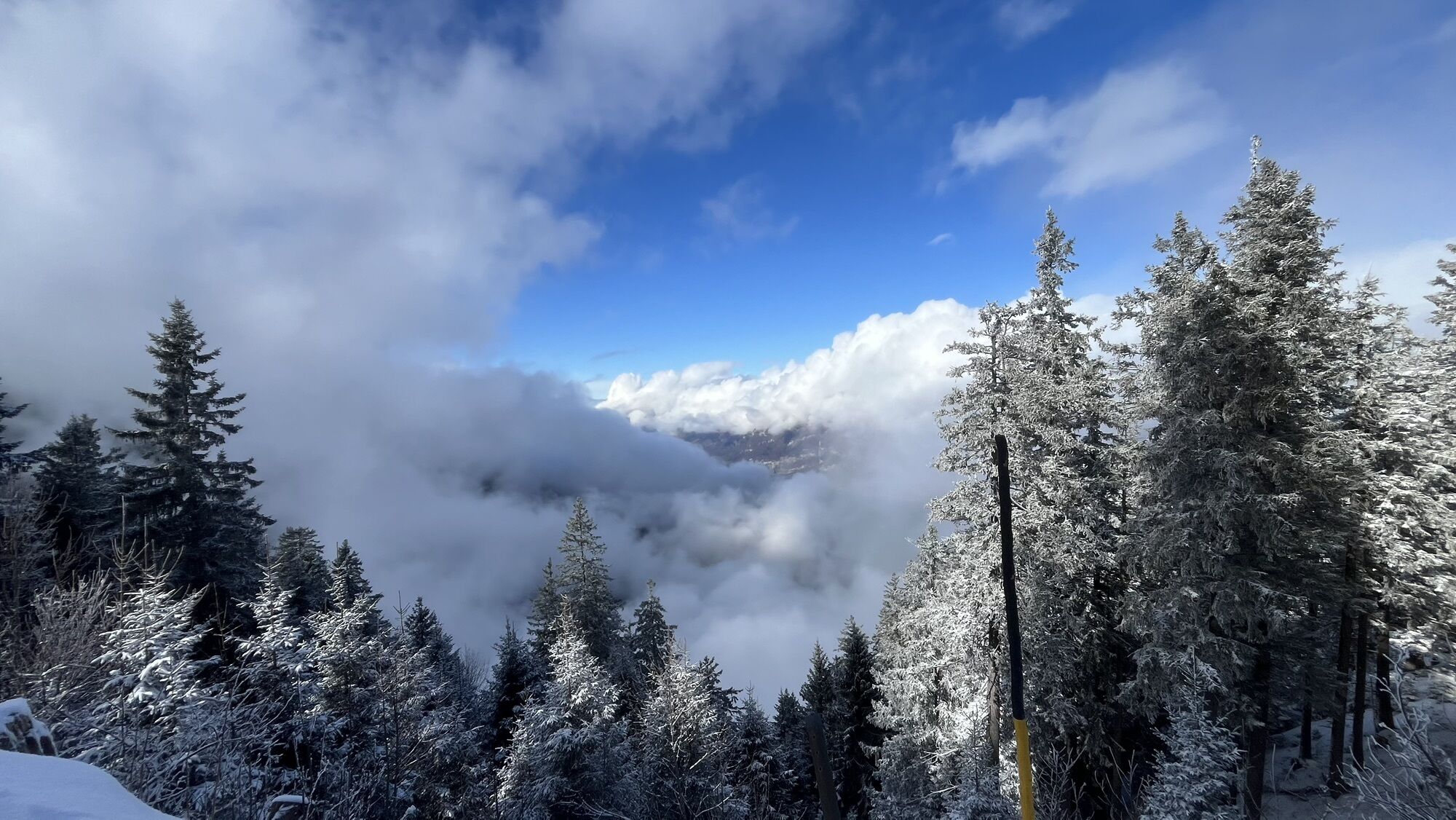

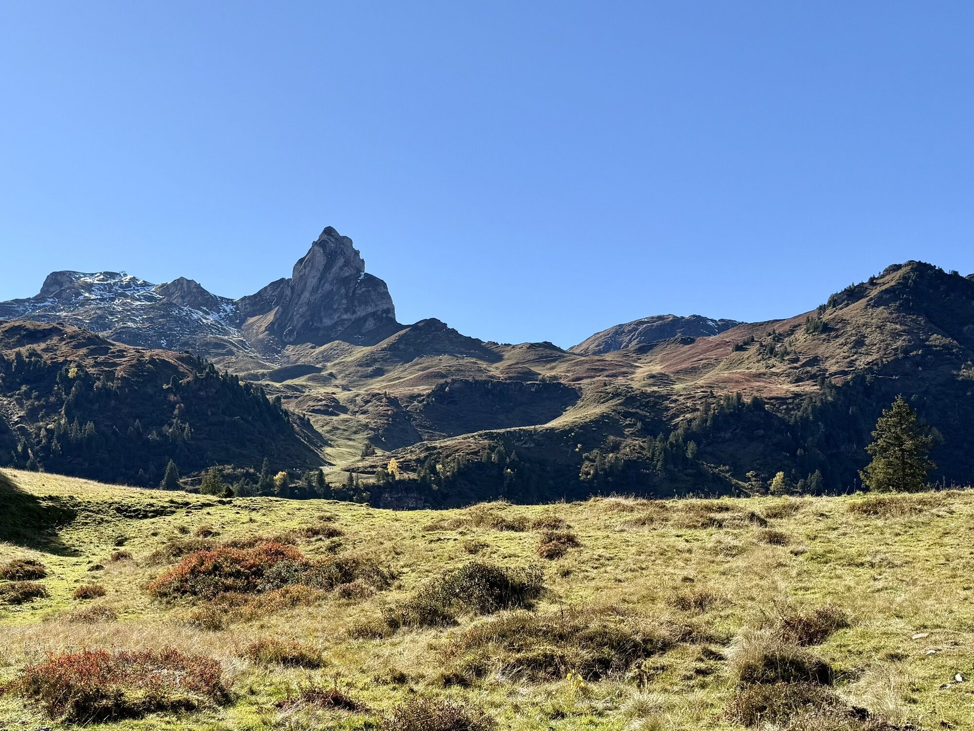
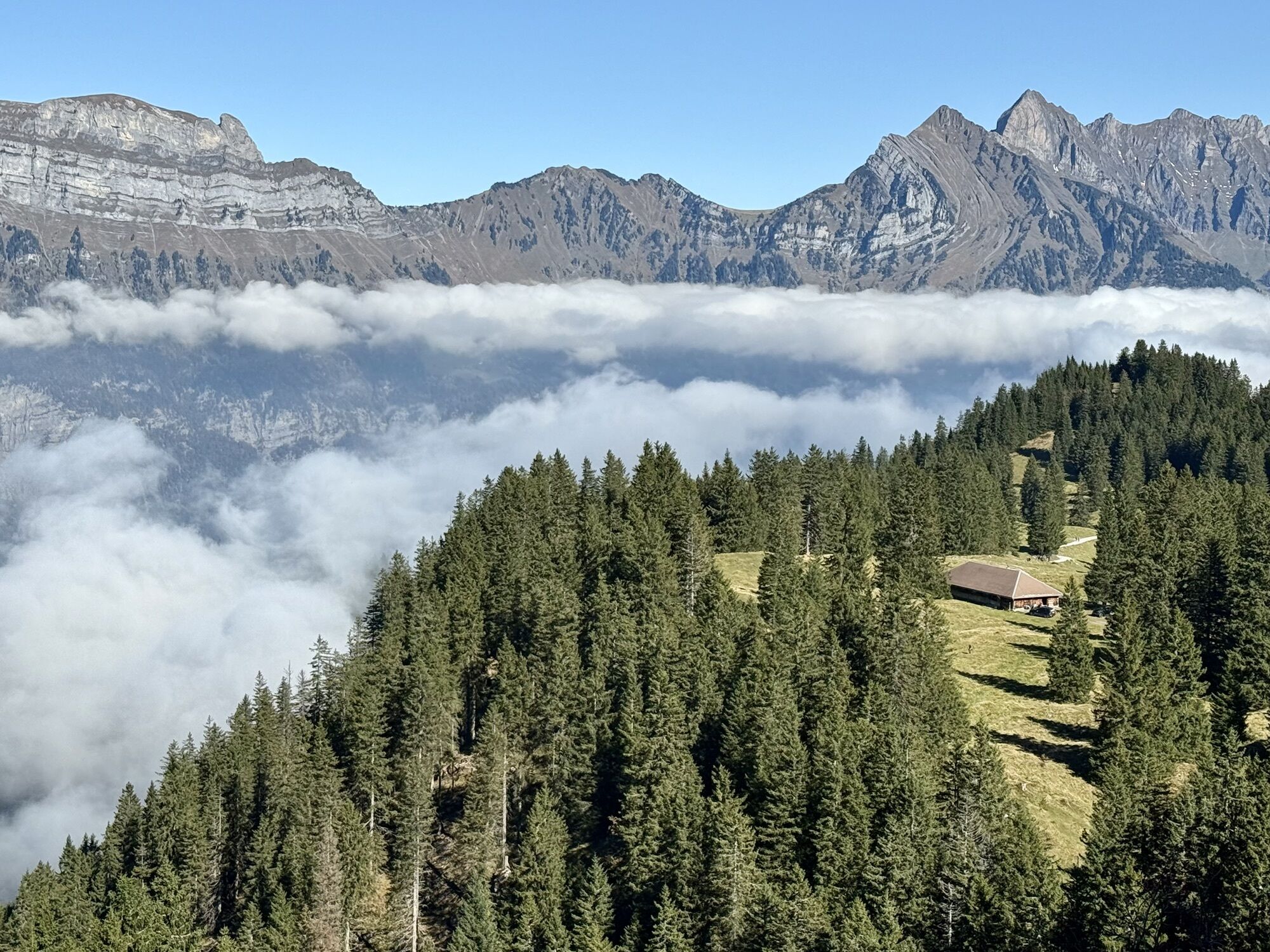
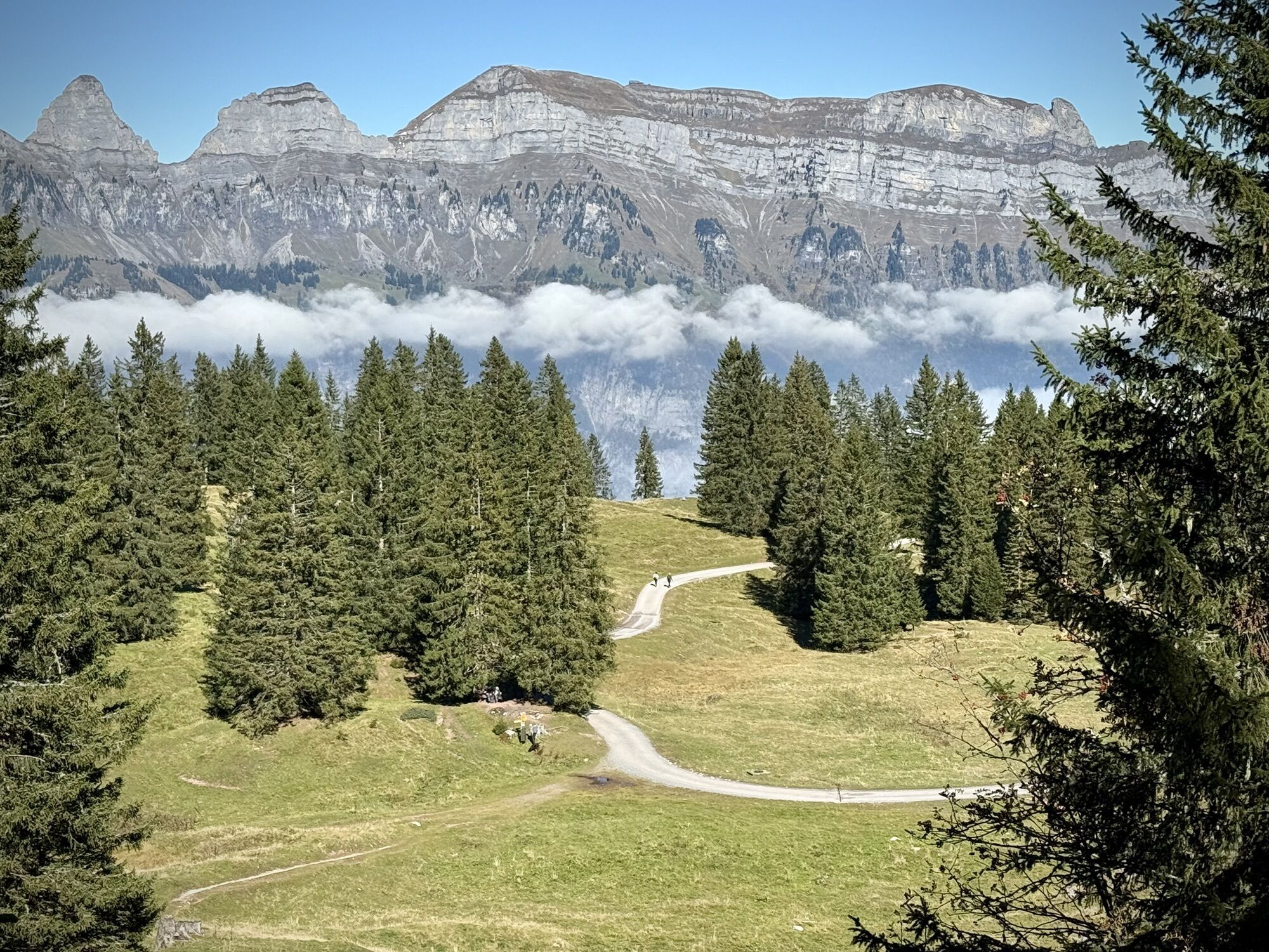
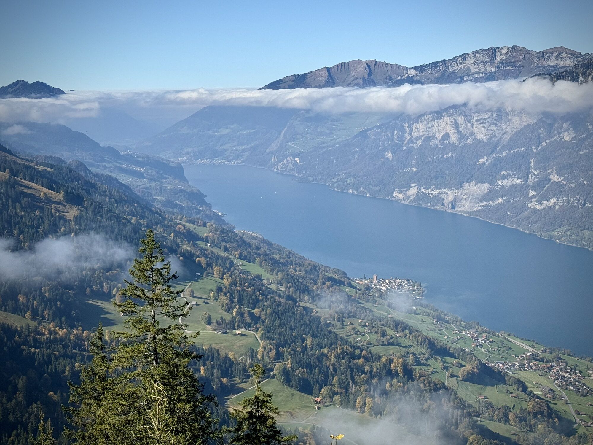
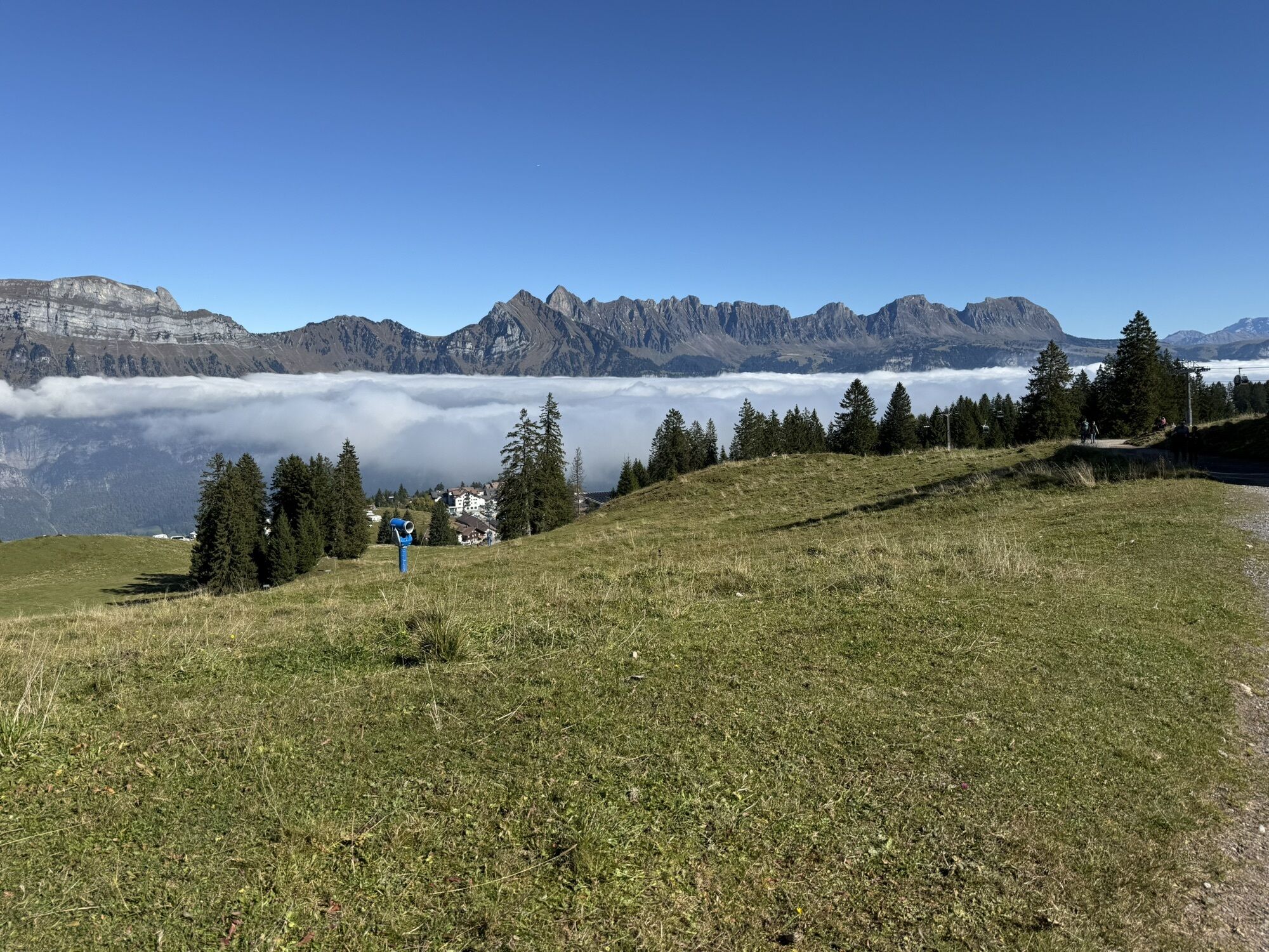
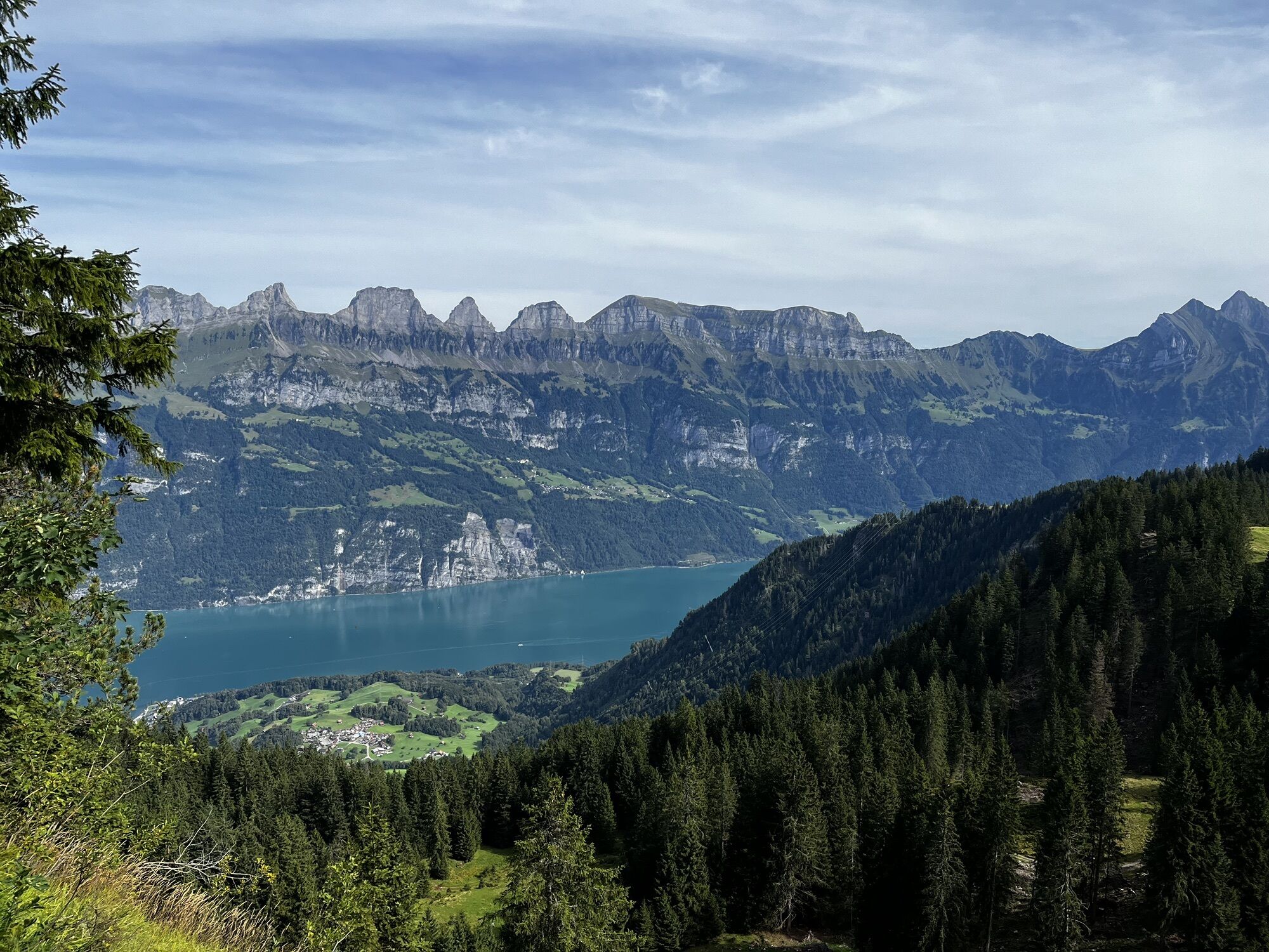
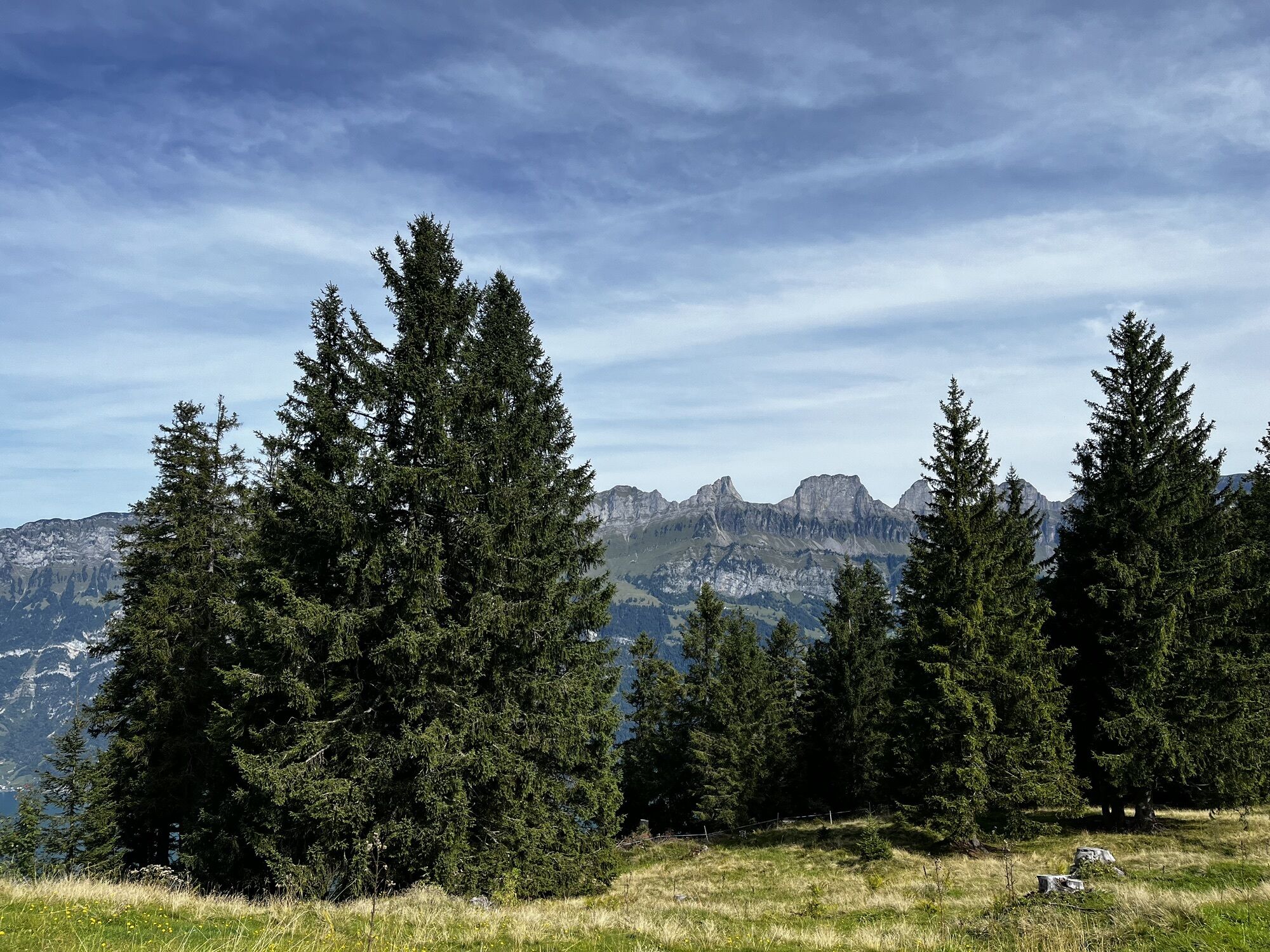
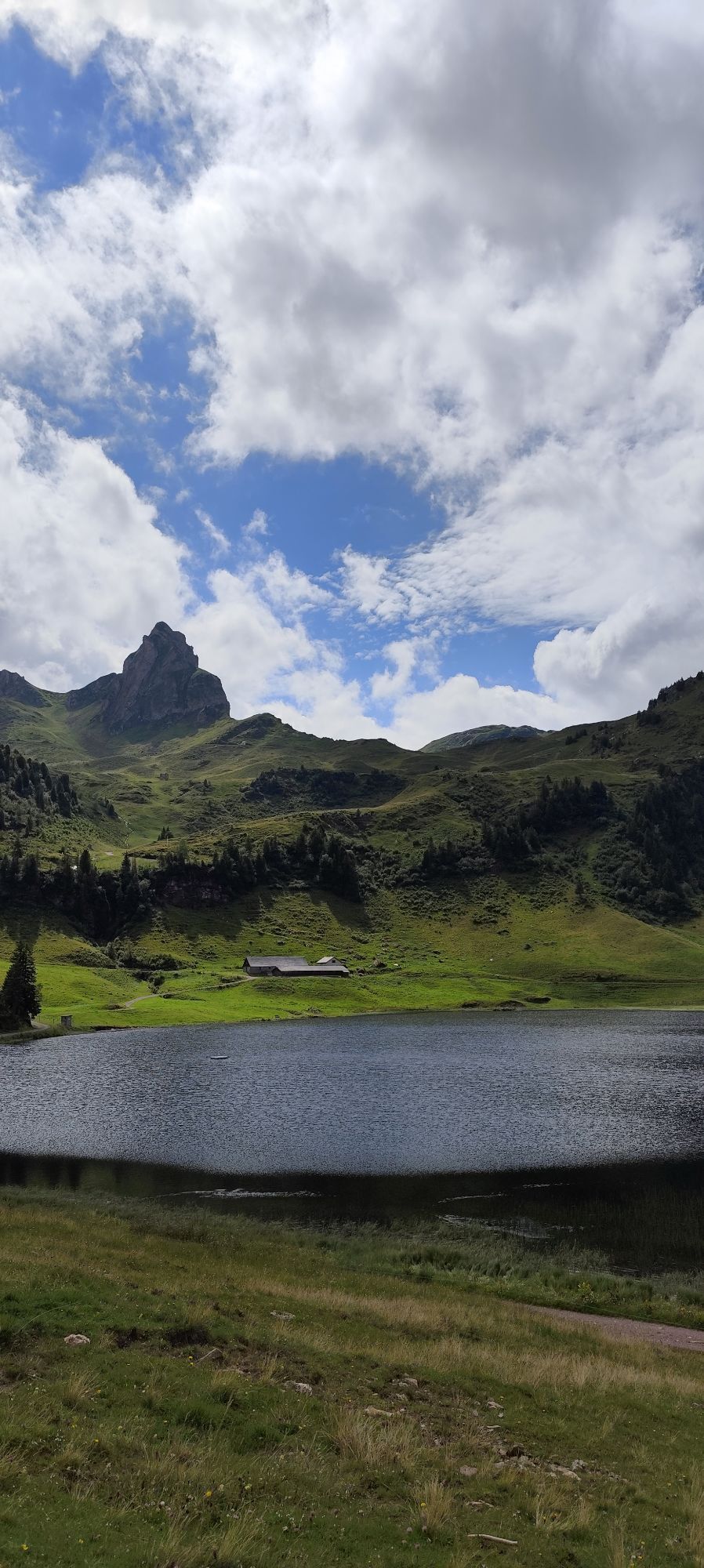

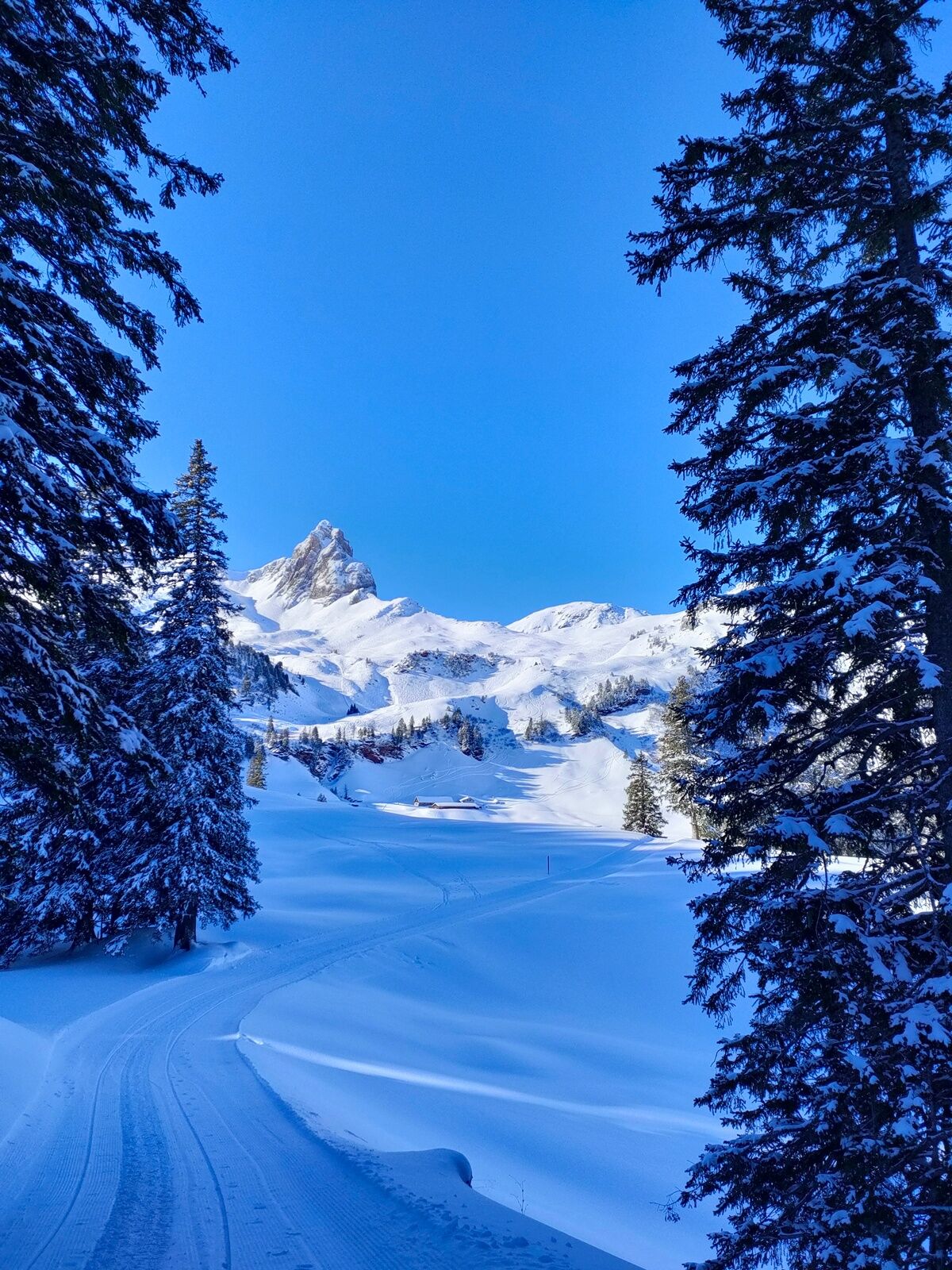
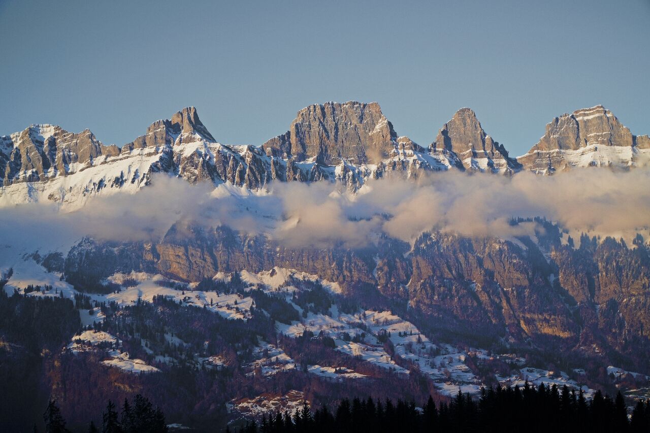
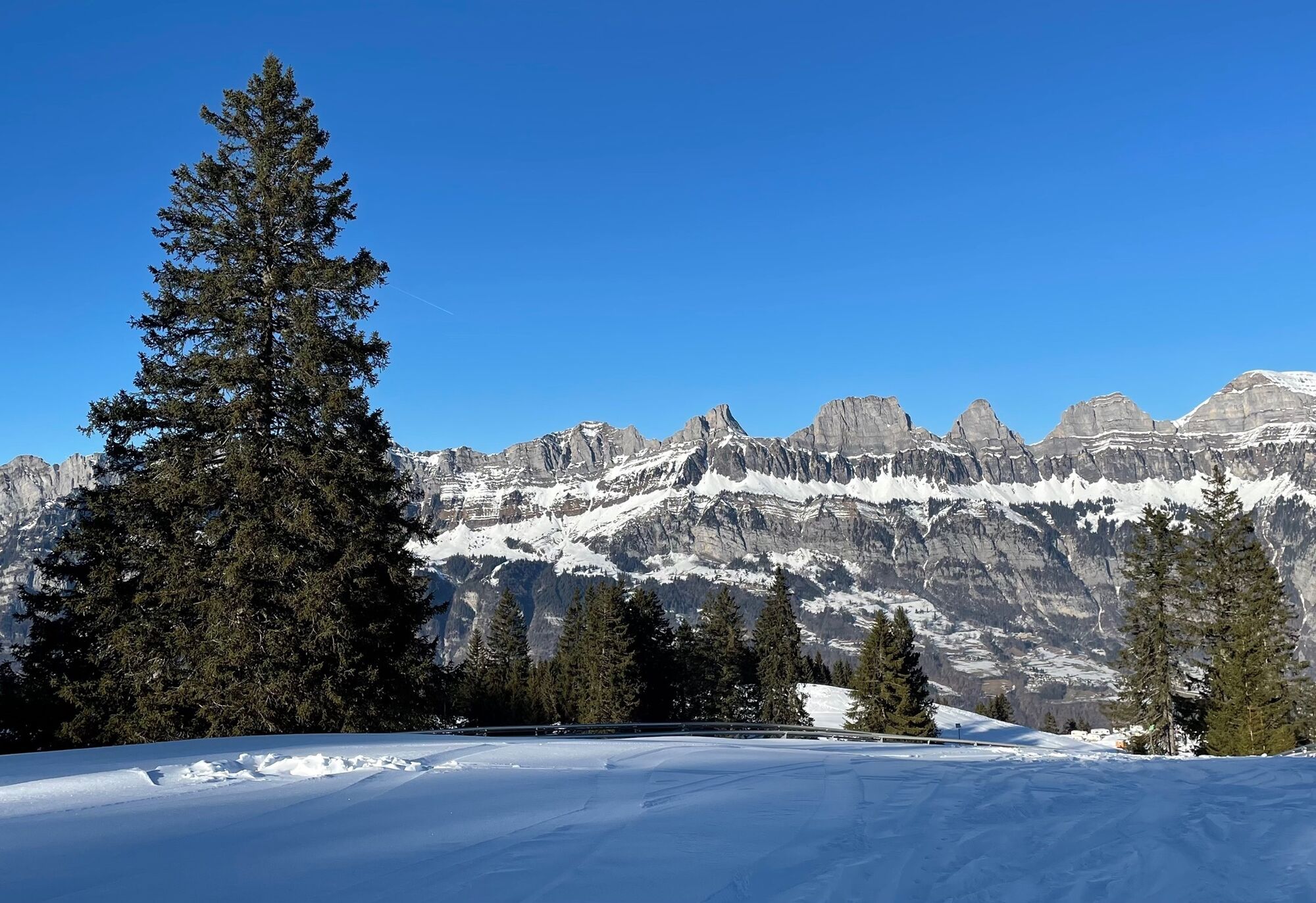
Fantastic views of the Churfirsten characterize the winter hike to Seebenalp.
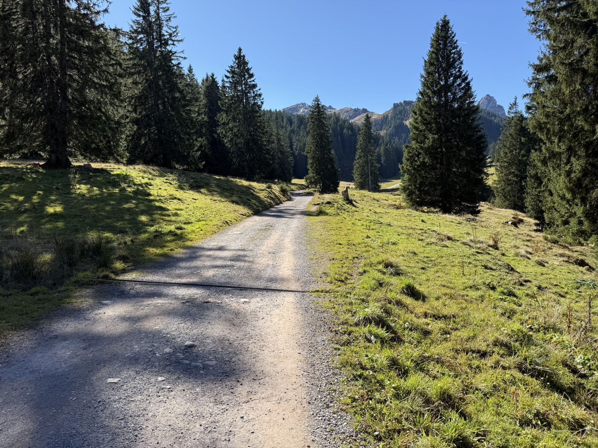
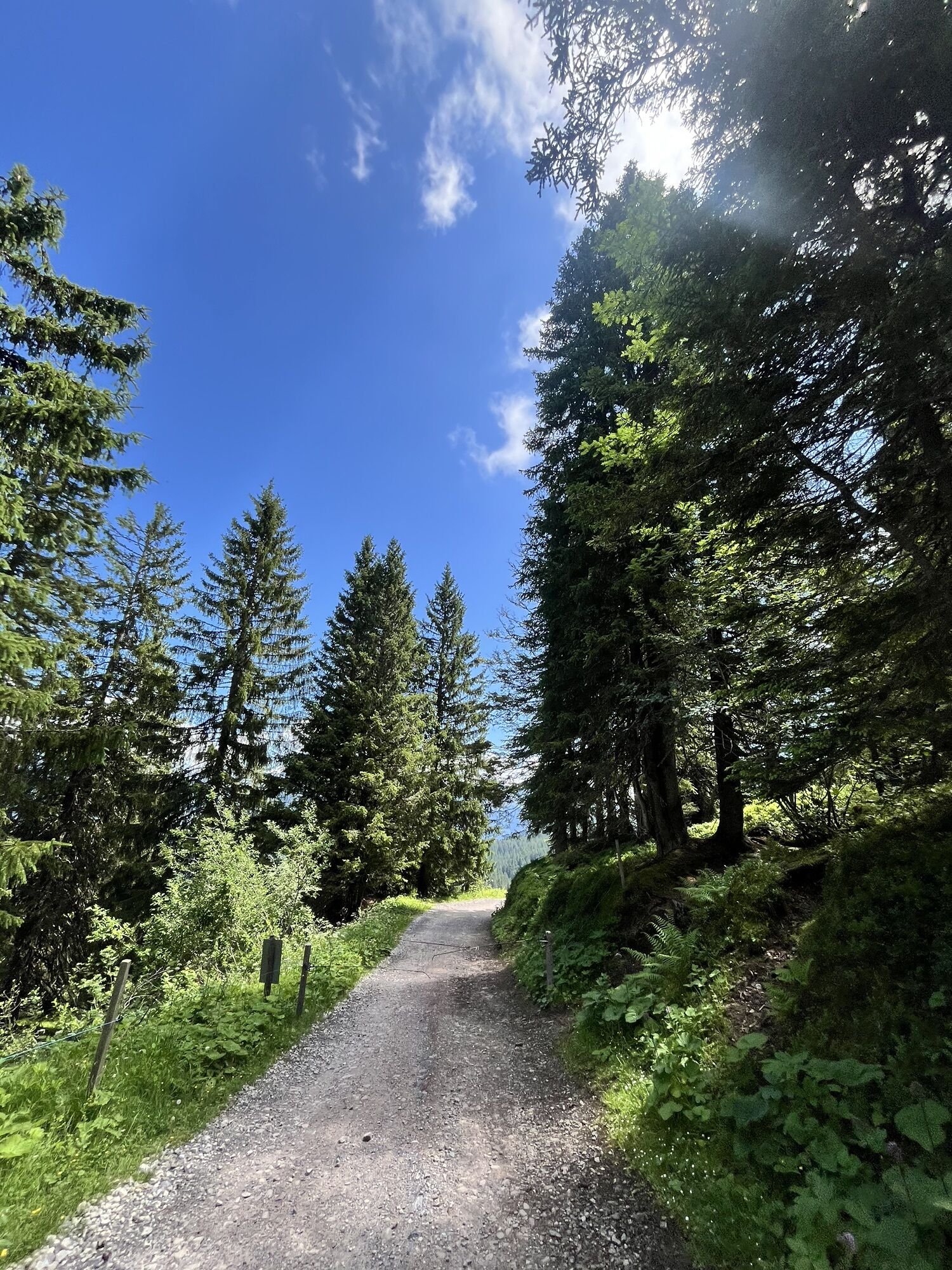
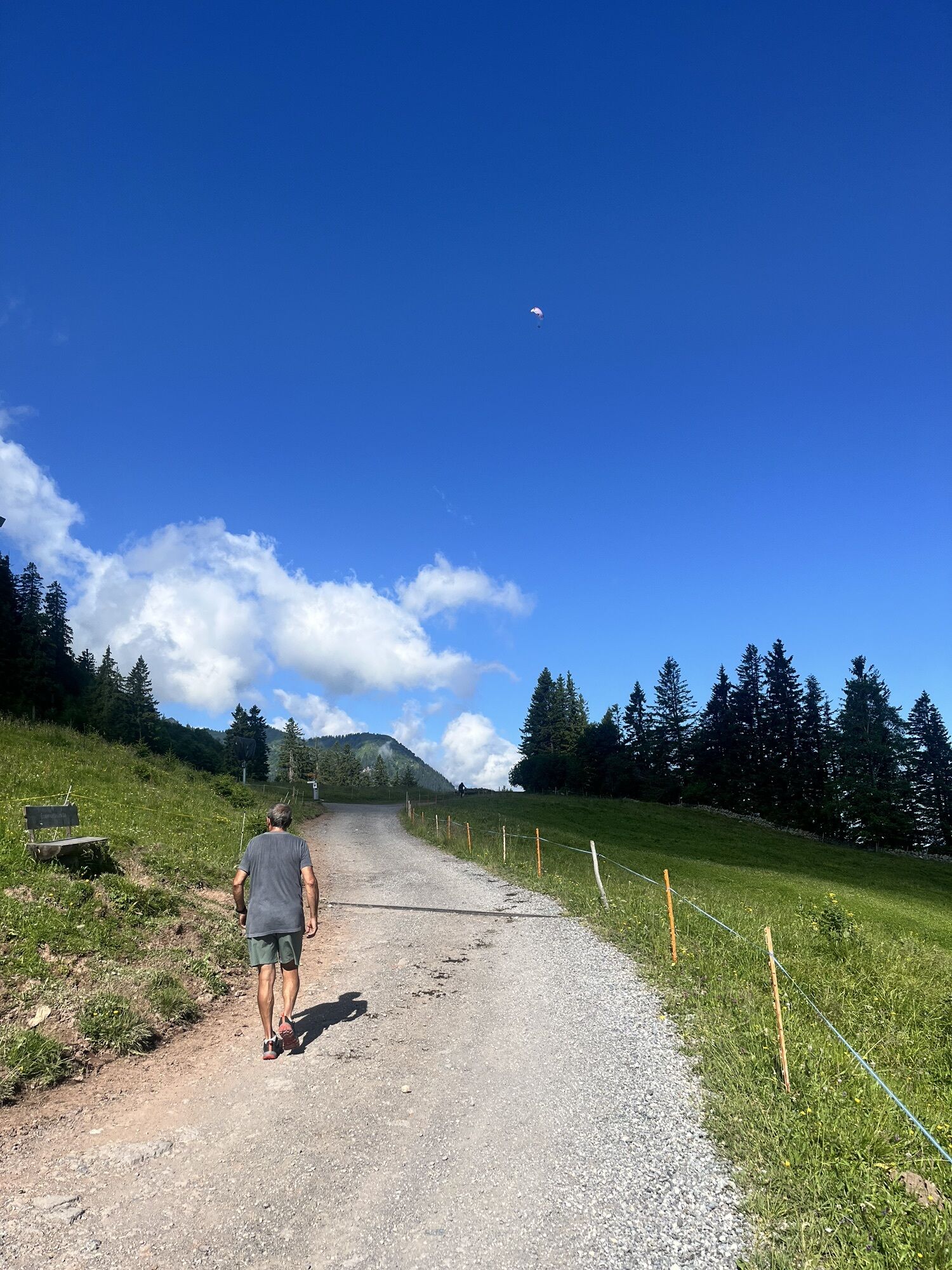
After the valley station of the BergJet gondola, cross the children's area and the ski slope. Take the wide walking path that...
Fantastic views of the Churfirsten characterize the winter hike to Seebenalp.
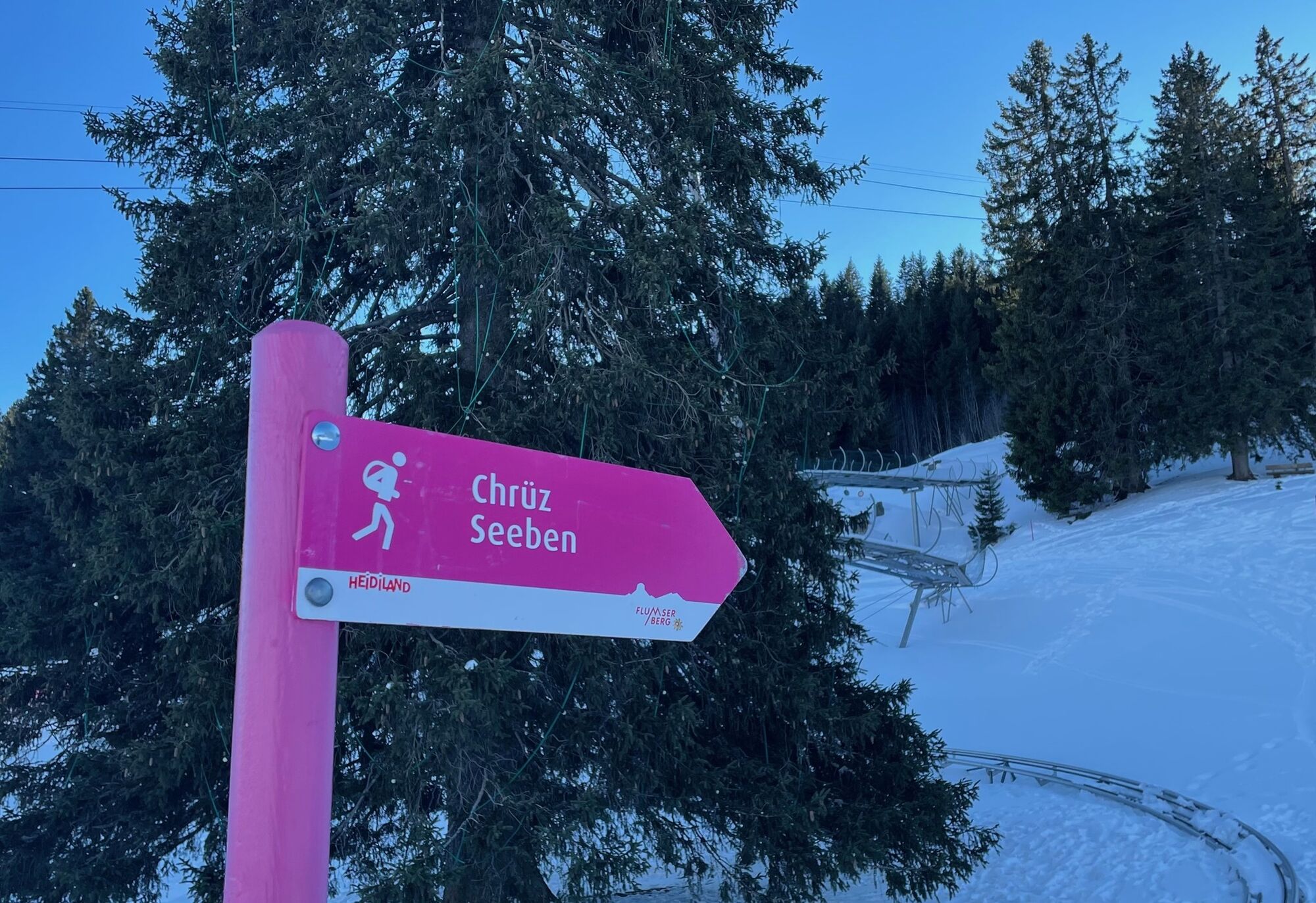
After the valley station of the BergJet gondola, cross the children's area and the ski slope. Take the wide walking path that goes under the FLOOMZER there. At the first fork in the forest, turn right; before the second fork, cross the ski slope again. Take the path straight towards Seebenalp.
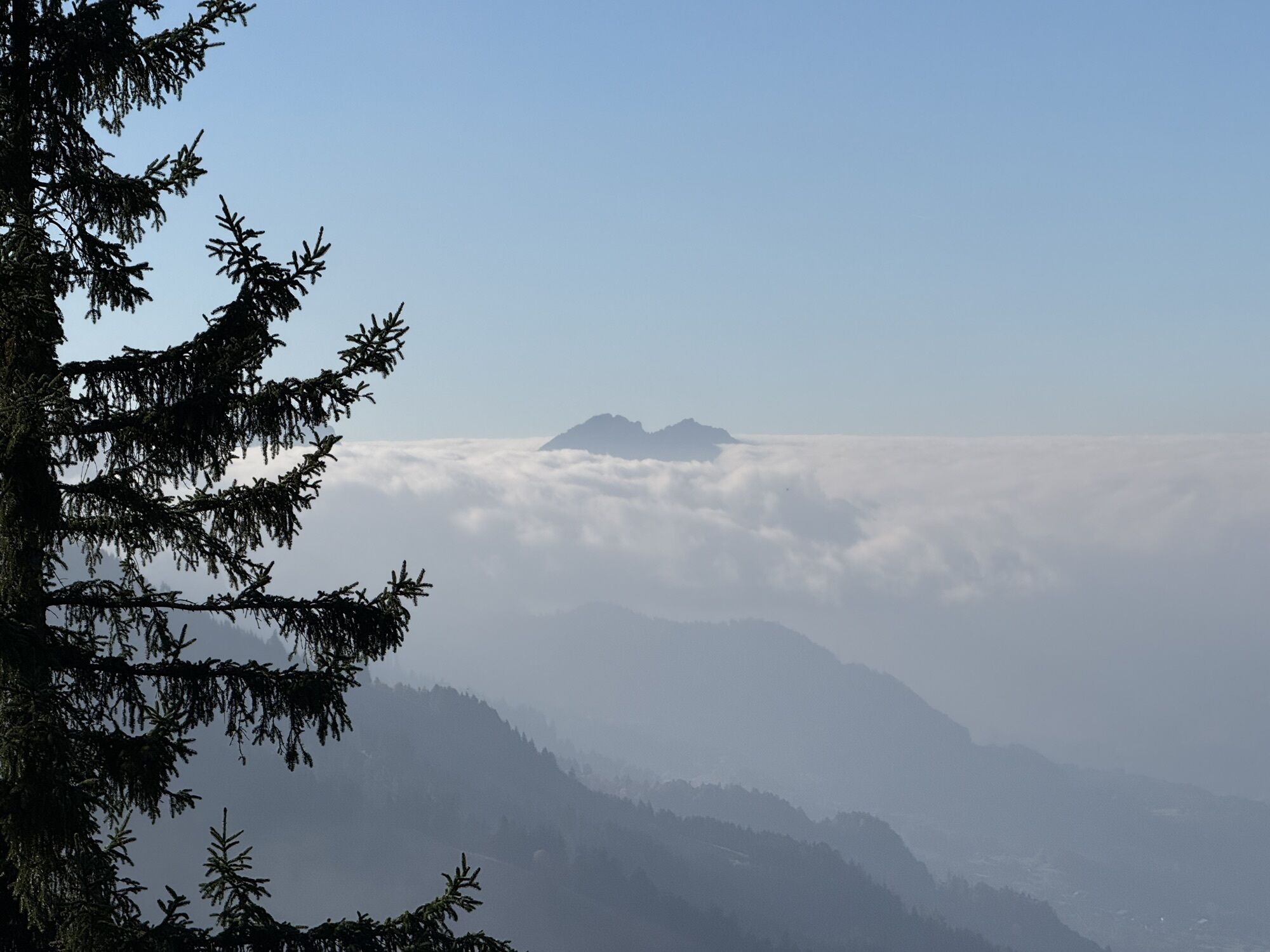
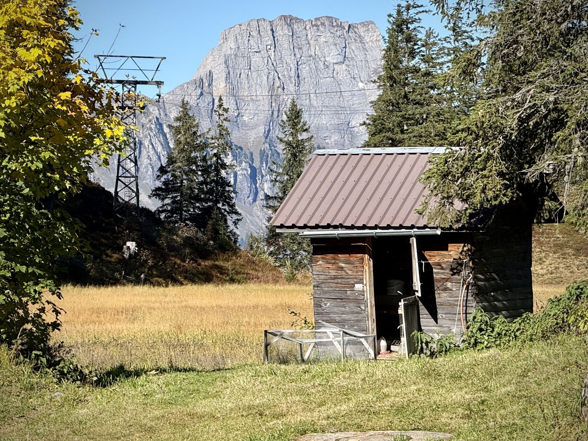
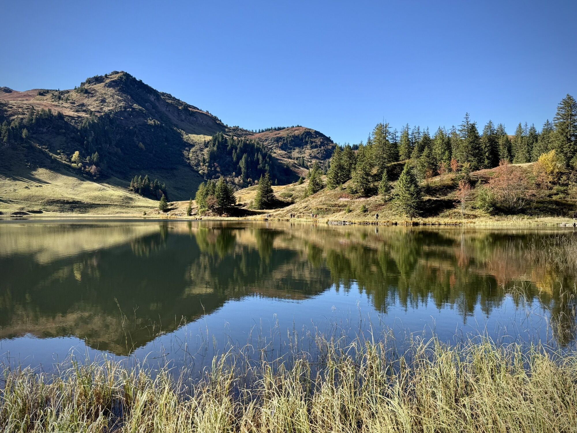
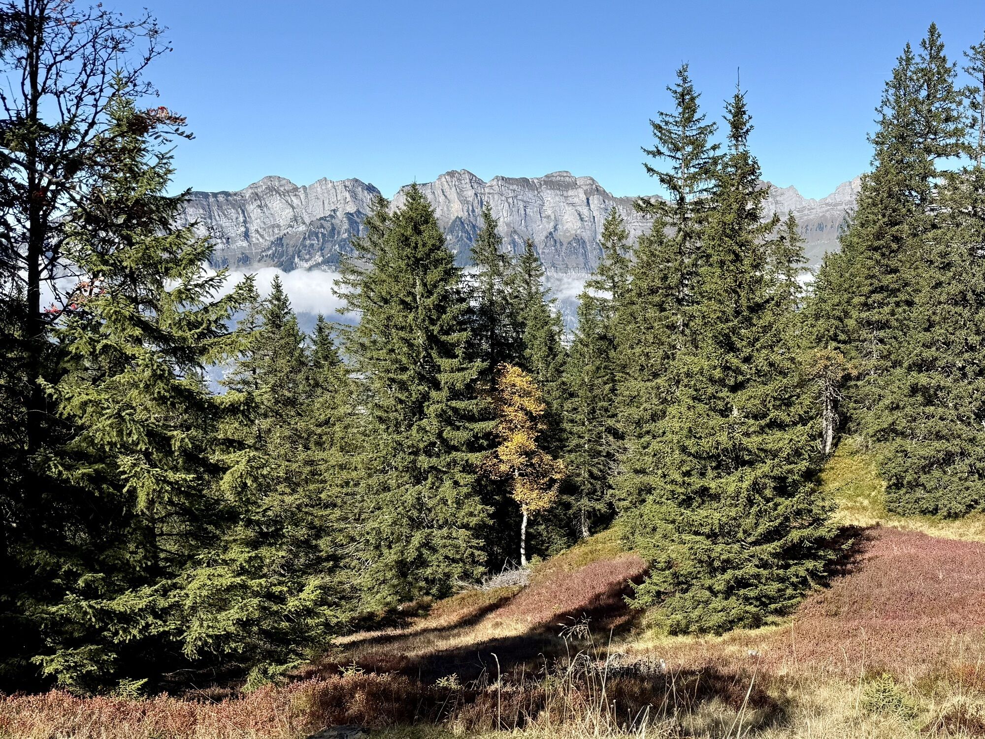
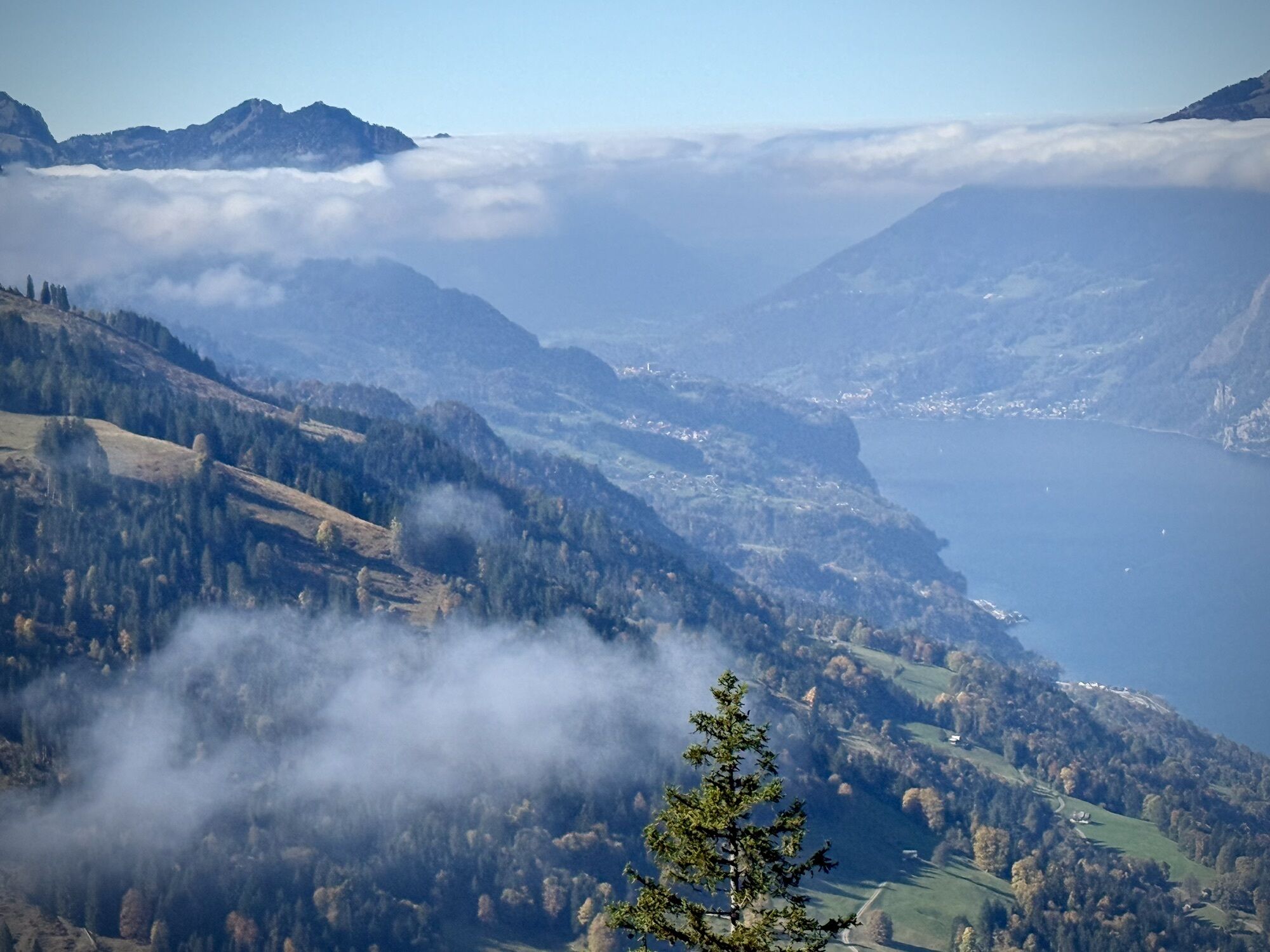
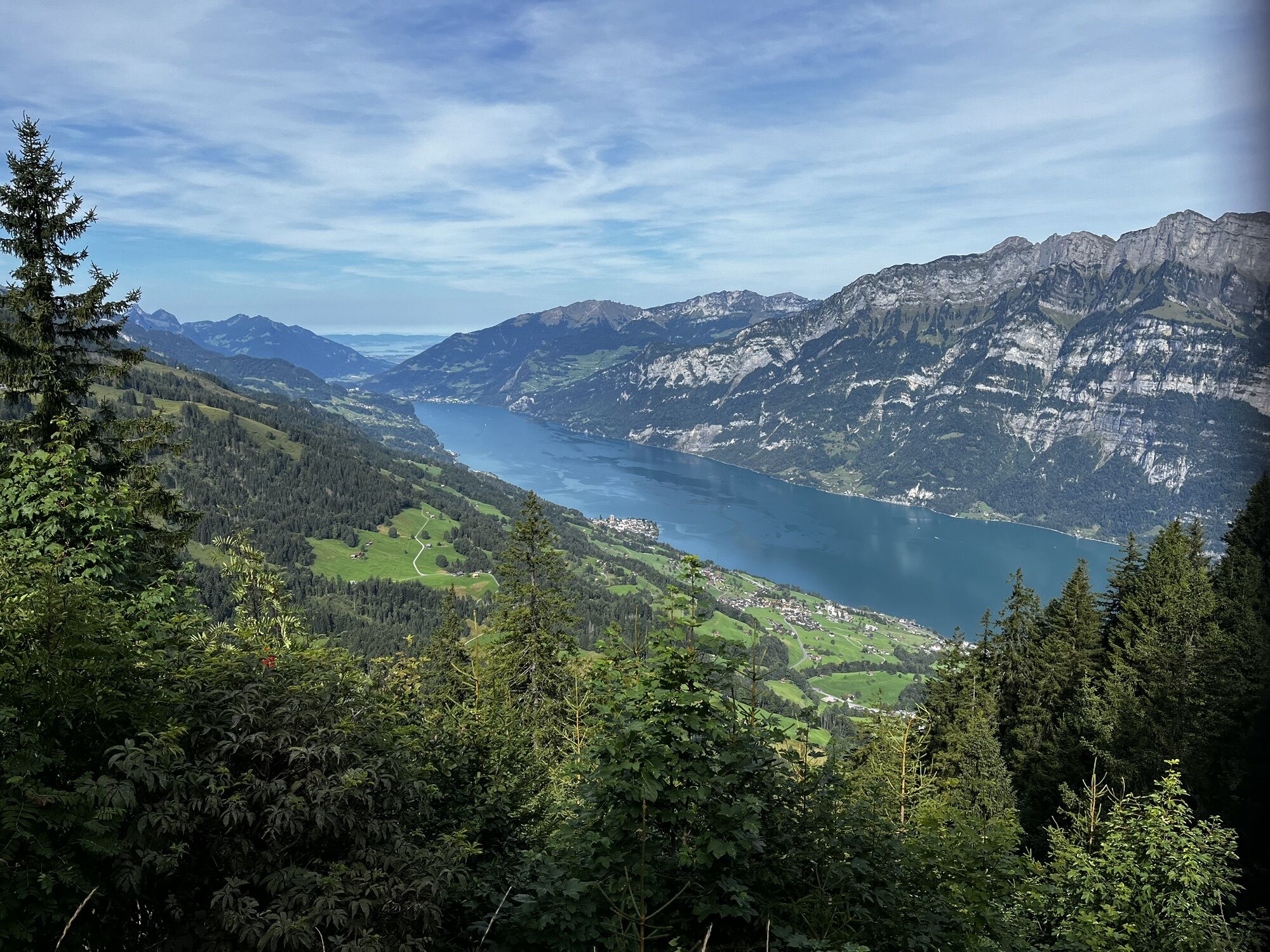
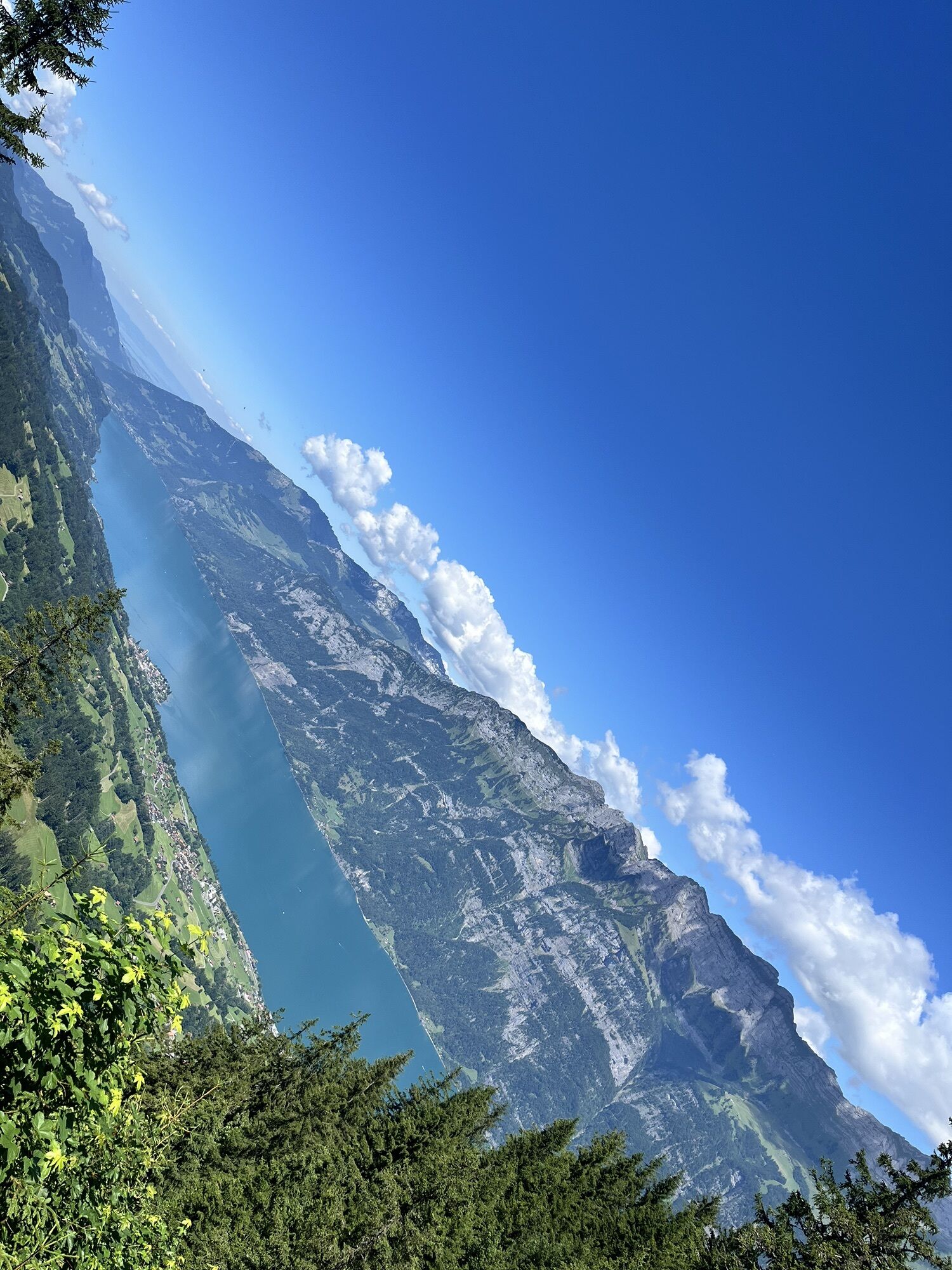
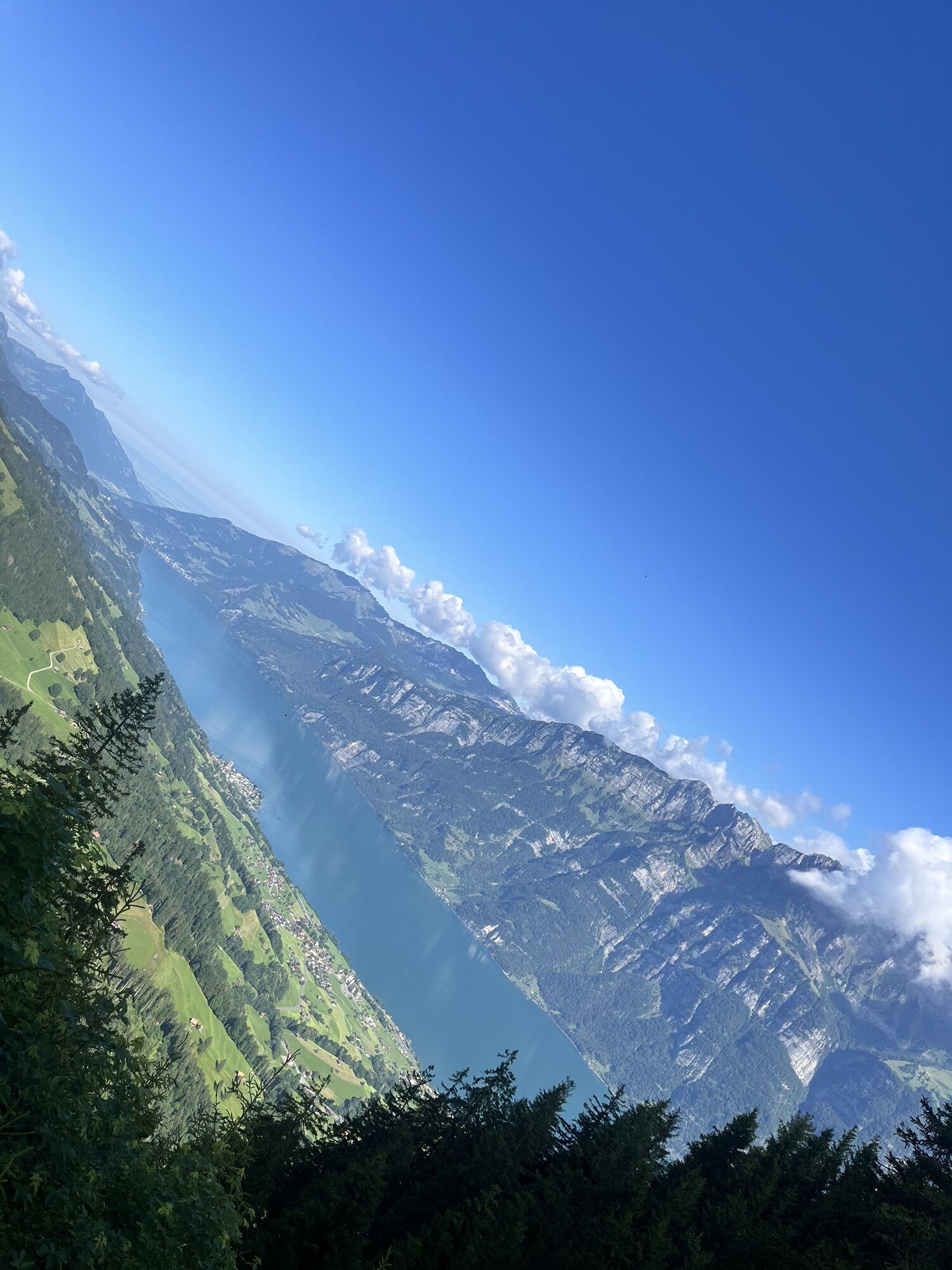
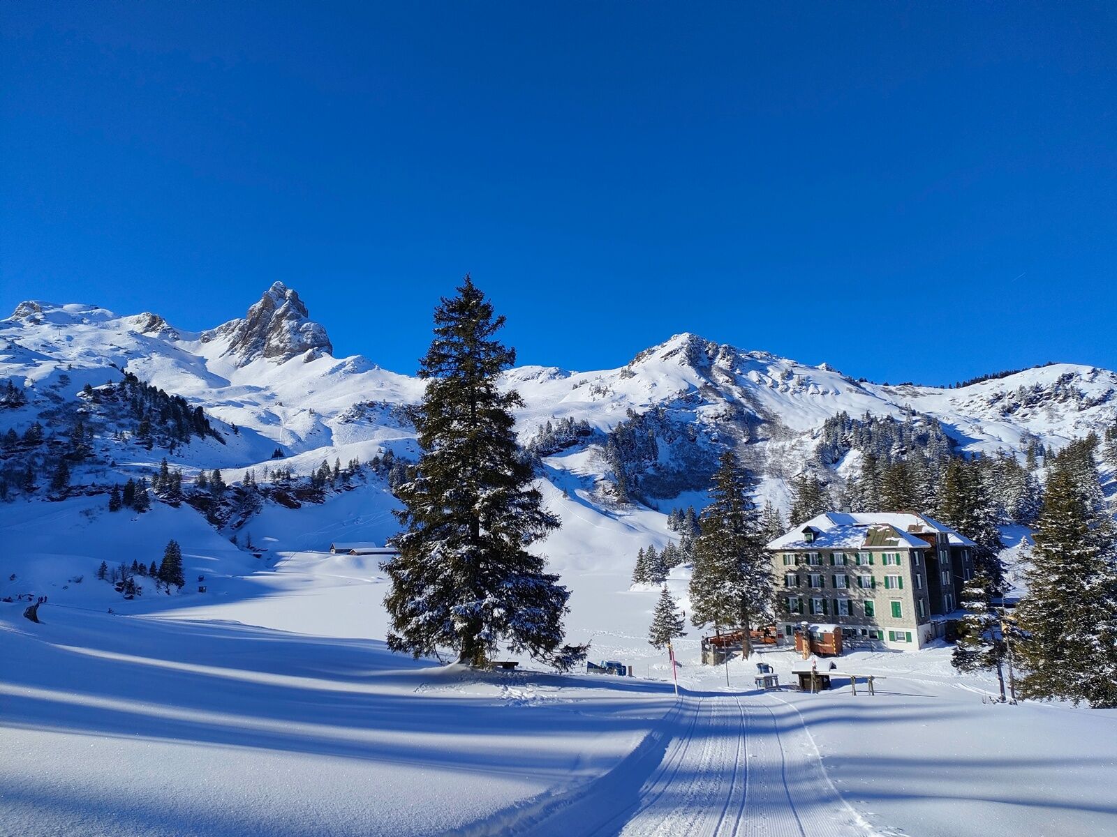
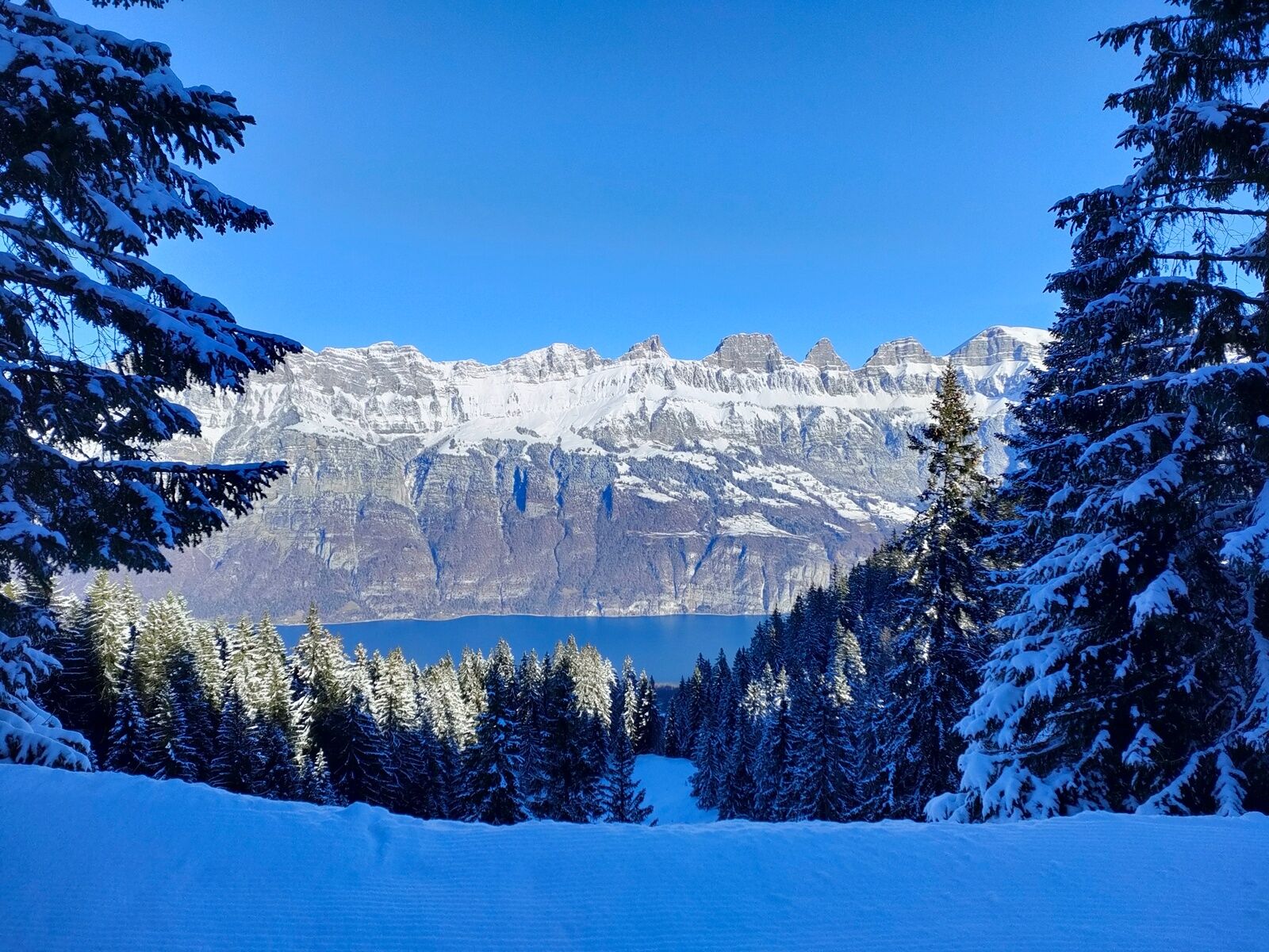
On the hiking route, there is always something to see: animal tracks in the snow, snow-covered fir trees, and sometimes completely snow-covered huts. Wide winter landscapes as far as the eye can see, and suddenly you reach a point where Lake Walensee, even Lake Zurich, lie at your feet.
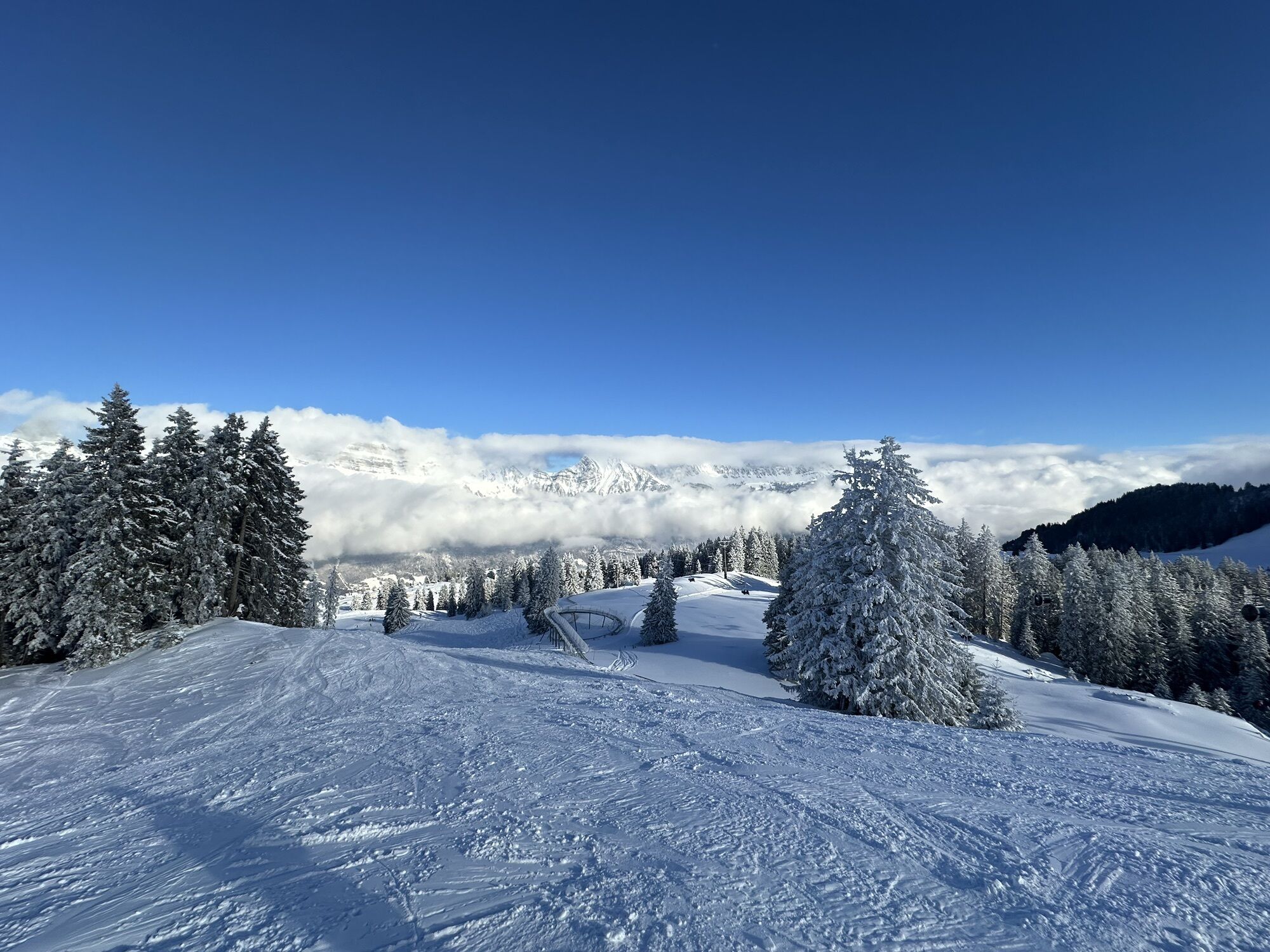
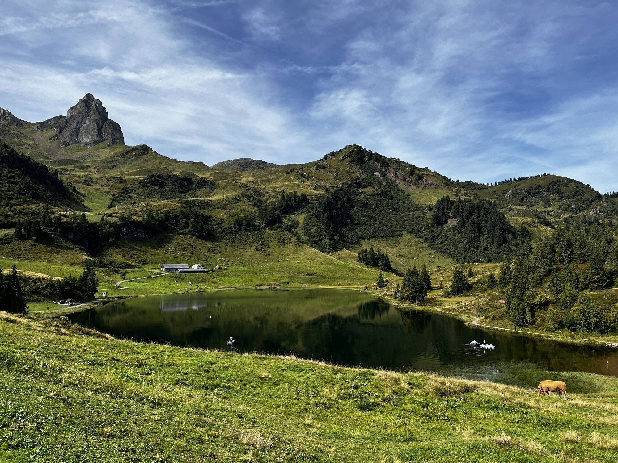
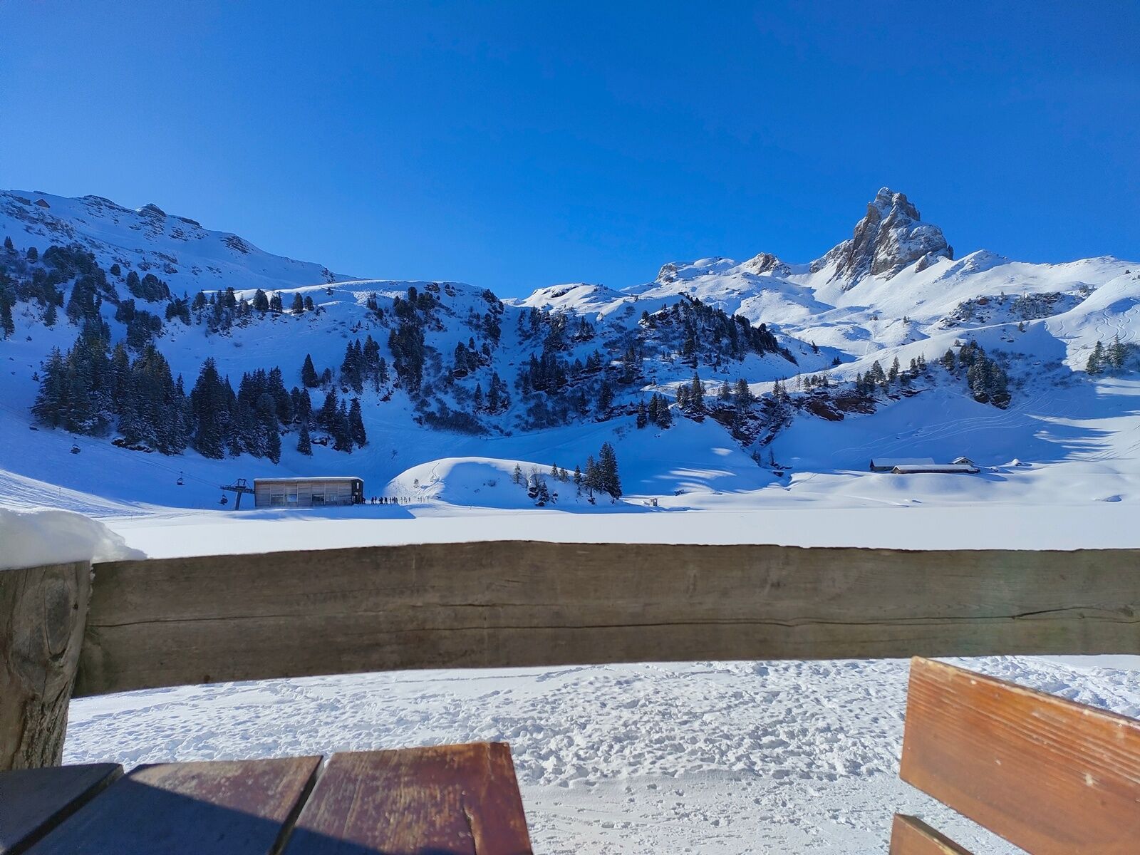
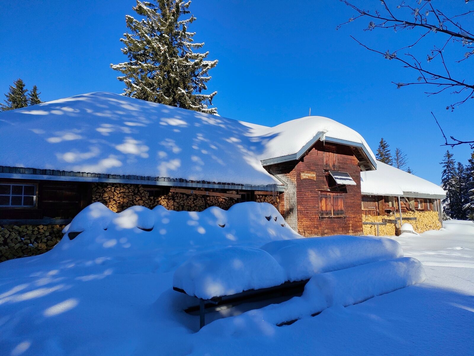
At Seebenalp, right next to the frozen lake, a cozy restaurant awaits hungry and thirsty guests. On the opposite side of the lake, the distinctive rocky tooth of Leist briefly steals the show from the Churfirsten.

Áno
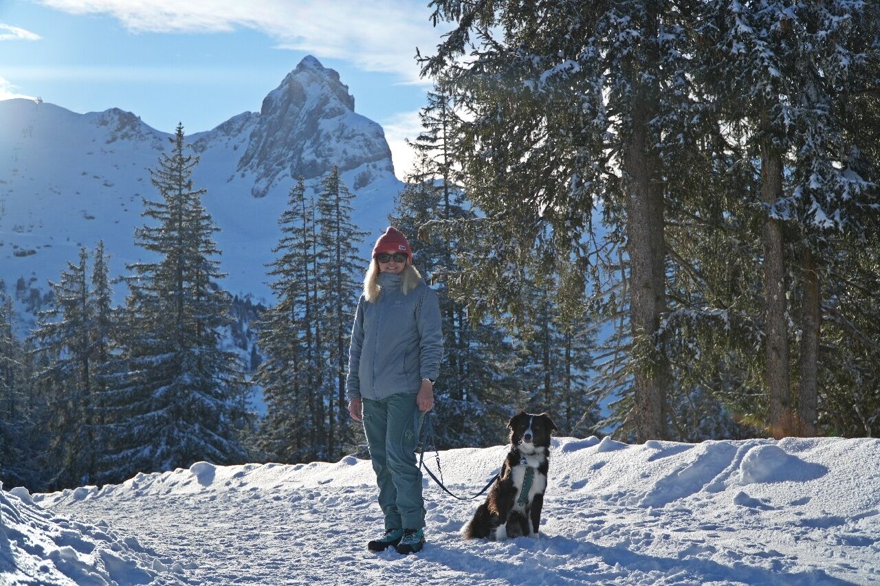
Normal winter hiking equipment, sturdy shoes.
Take the Flums/Flumserberg motorway exit, then follow the main road towards Flumserberg Tannenboden.
Arrival by train to Unterterzen and up with the Unterterzen - Tannenboden aerial cableway
Daily from Zurich with the S25 to Ziegelbrücke, changing to the S4 to Unterterzen
Daily from St. Gallen with the S4 directly to Unterterzen
Daily from Zurich and Chur with the RE to Walenstadt, changing to bus 444 to Unterterzen
From Unterterzen, the 8-person gondola takes you directly to Flumserberg to the valley station Tannenboden LUFAG.
Arrival by train to Flums and post bus to Flumserberg Tannenboden
Daily to Flums or Sargans, then with bus 441 towards Flumserberg to the Tannenboden cable car stop.
Public parking is available at Tannenboden.
The parking spaces are chargeable from 07:00 to 17:00. From 17:00 to 02:00, you may leave the car for free.
From 02:00 to 07:00 a night parking ban applies. There are enough night parking spaces in the Tannenboden parking garage or in the Tannenheim.
The night parking can be used for a fee, but camping is prohibited.
3
Heidiland Tourism
Information Office Flumserberg
T +41 81 720 18 18
www.heidiland.com
Enjoy the beautiful mountain landscape with a coffee at the Seebenalp restaurant.
Obľúbené výlety v okolí
-
4,7
Walensee Riviera Weesen - Quinten
strednáTuristika 10,2 km -
4,7
Riviera Lake Walen Walenstadt-Quinten
strednáTuristika 10,4 km -
4,7
Alvier
strednáTuristika 3,33 km -
4,6
4-Summit-Route Flumserberg
strednáTuristika 8,65 km -
5,0
Schrina Alp and Cultural Trail
strednáTematická trasa 11,5 km -
4,9
Quarten - Murgseehütte - Berggasthaus Murgsee - Glarus Nord
strednáTuristika 14,7 km -
4,7
Quinten-Trail 453
strednáBeh 8,97 km -
4,7
Mädems Trail
strednáSnežnice 7,48 km -
4,5
Amden - Speer (Rundkurs)
svetloTuristika 17,6 km -
3,2
Route of amazement Flumserberg
svetloTuristika 8,03 km

Turistika a stopovanie


Nenechajte si ujsť ponuky a inšpiráciu na ďalšiu dovolenku
Vaša e-mailová adresa bol pridaný do poštového zoznamu.