


In the landscapes of Vesijärvi - paddling from Messilänranta, Hollola and Lahti
Úroveň náročnosti: 3
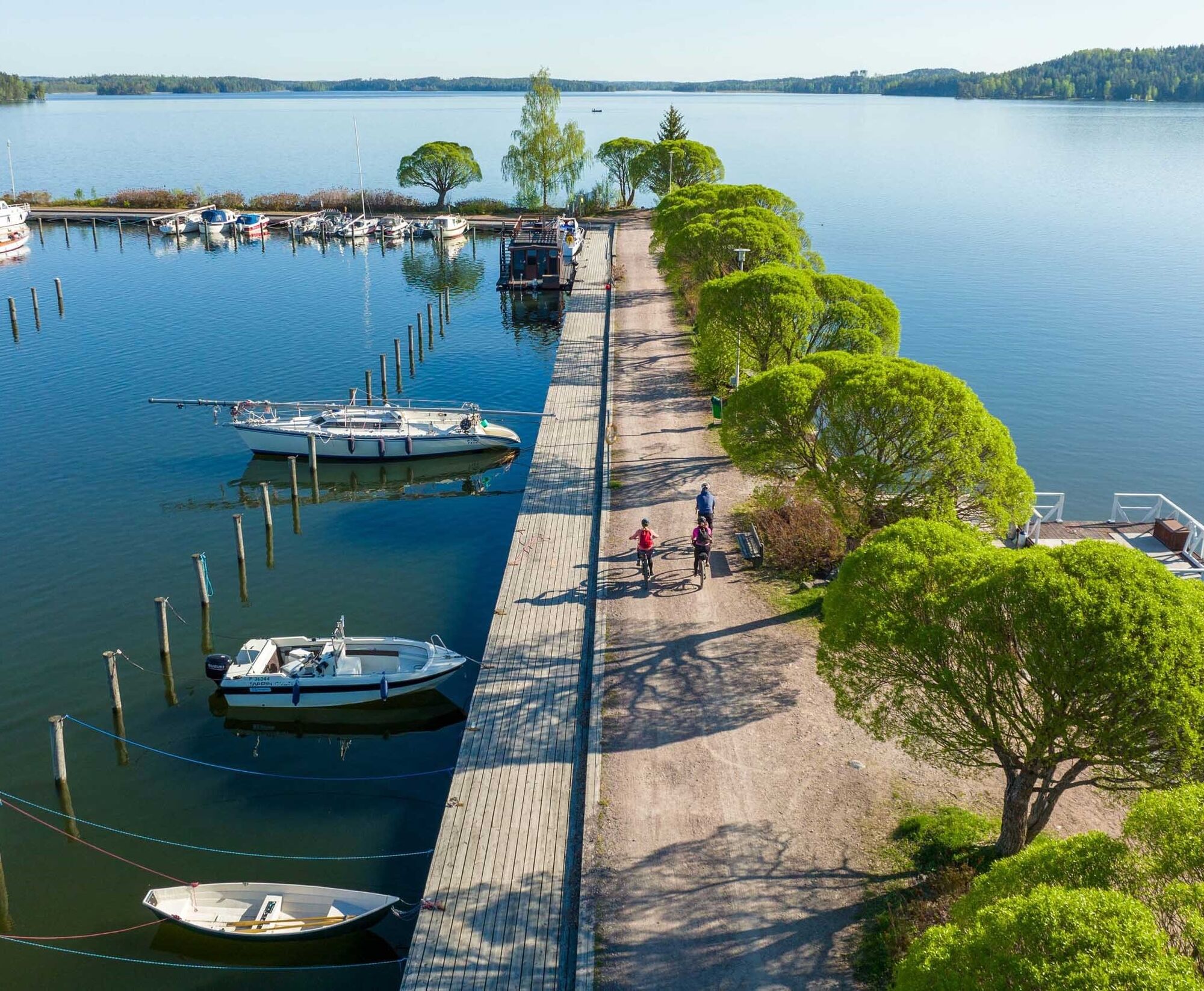
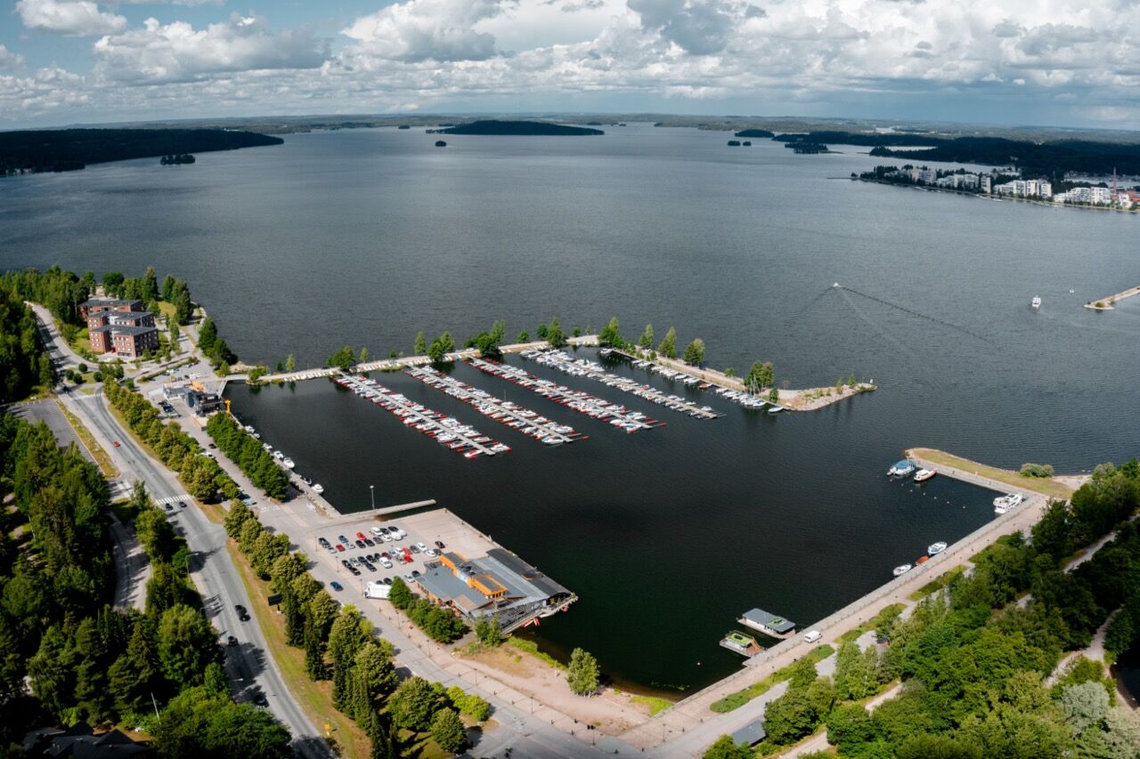
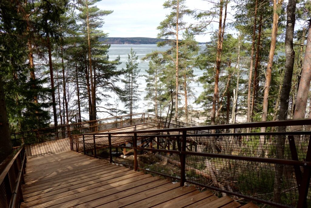
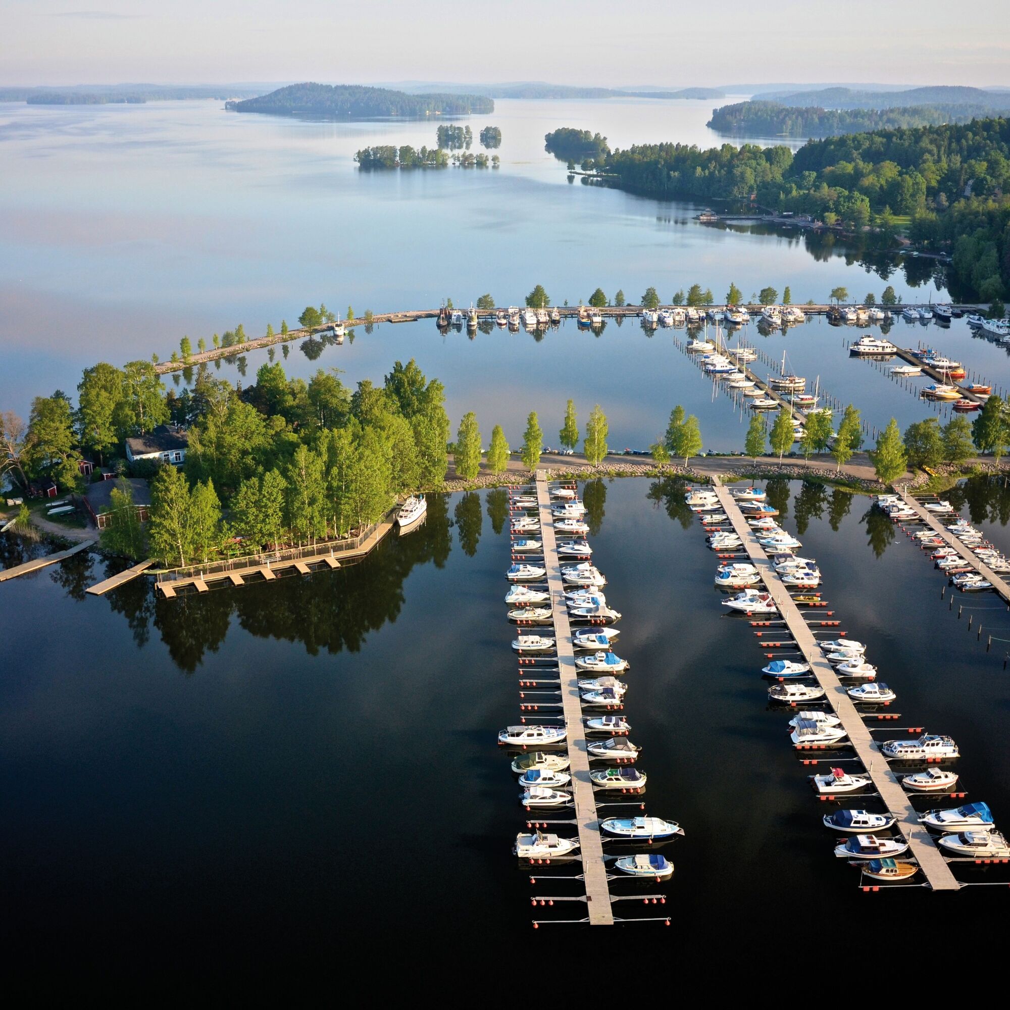
A popular circular route follows the shores of Vesijärvi from Hollola's Messilänranta through Lahti's waterfront sites and Enonsaari back. From the water, there are good views of the surrounding Salpausselkä...
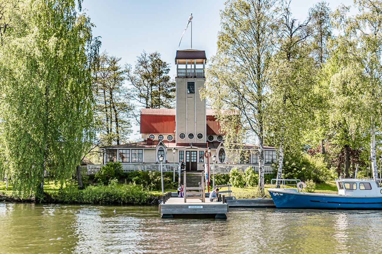
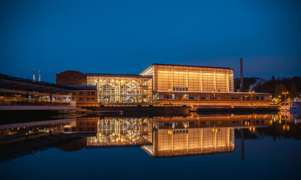
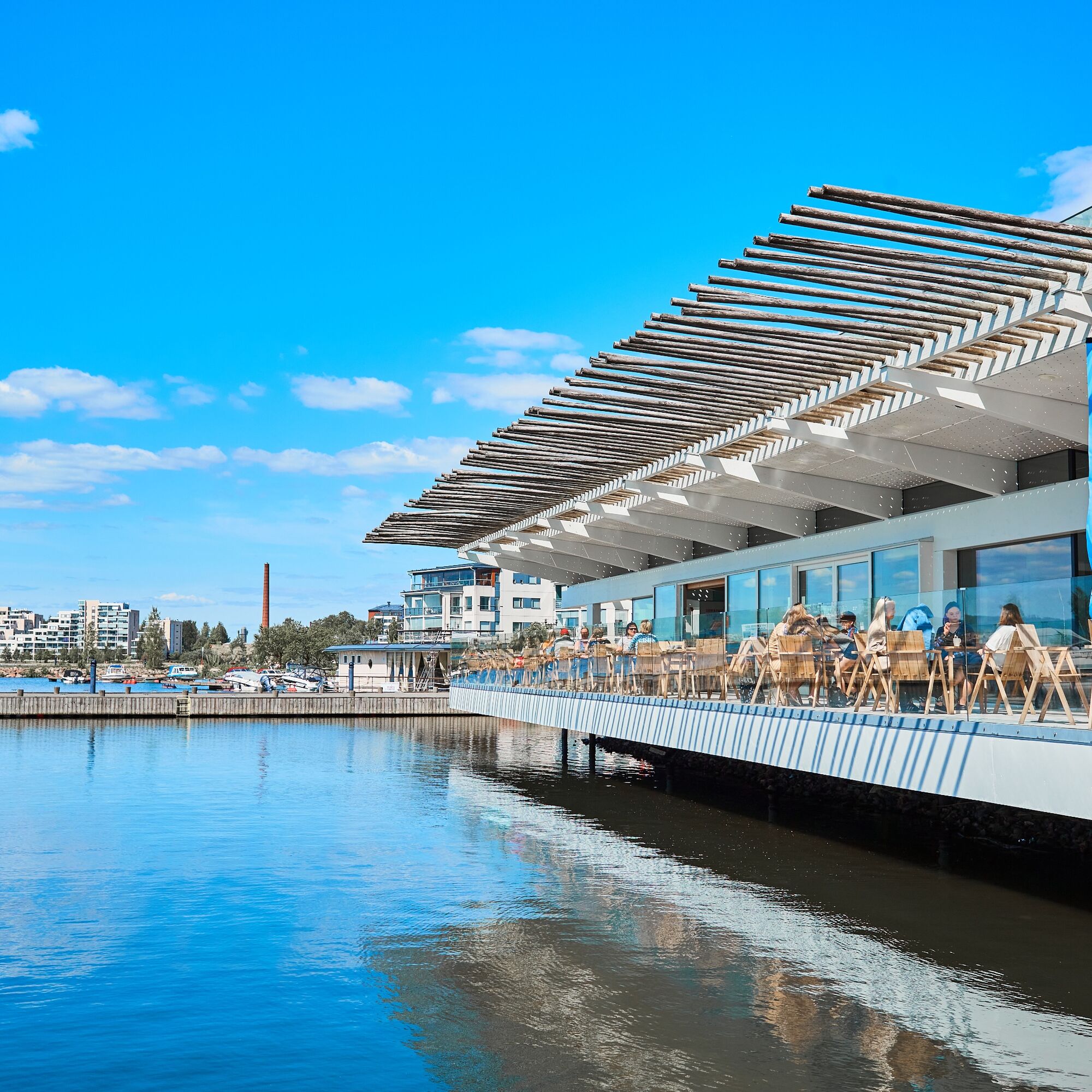
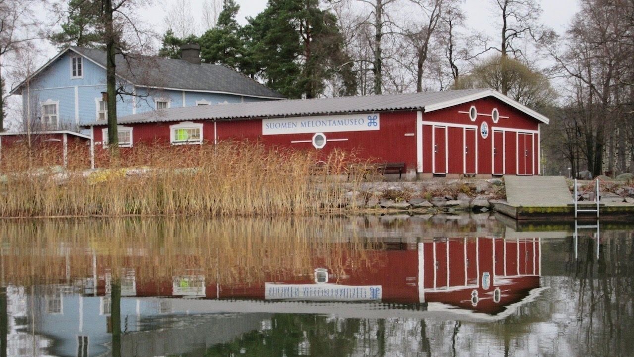
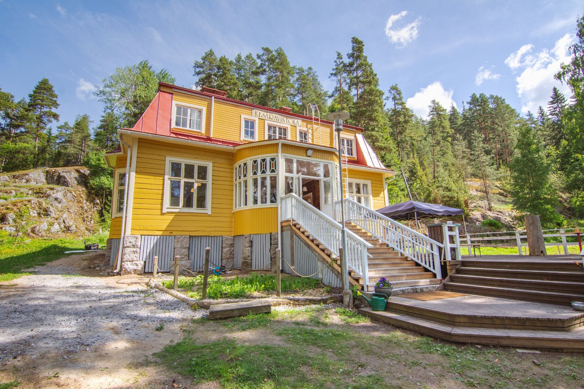
A popular circular route follows the shores of Vesijärvi from Hollola's Messilänranta through Lahti's waterfront sites and Enonsaari back. From the water, there are good views of the surrounding Salpausselkä landscapes and well-known landmarks of the Lahti area are also visible from the water. There are many sights and detour destinations on the shores such as summer restaurants. The paddler can also see the area's cultural history including the Messilä and Mukkula estates and older and newer architecture, such as Myllysaari, Enonsaari, and Sibelius Hall. Spend a relaxed summer day exploring the area's sites, stopping for coffee or a meal, and taking a swim.

The route is not marked on the water but is a recommended example route.
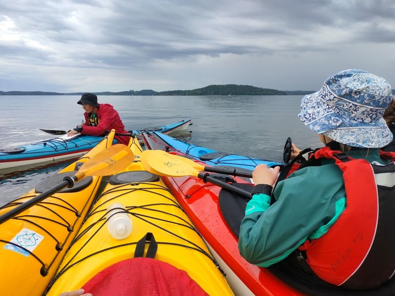
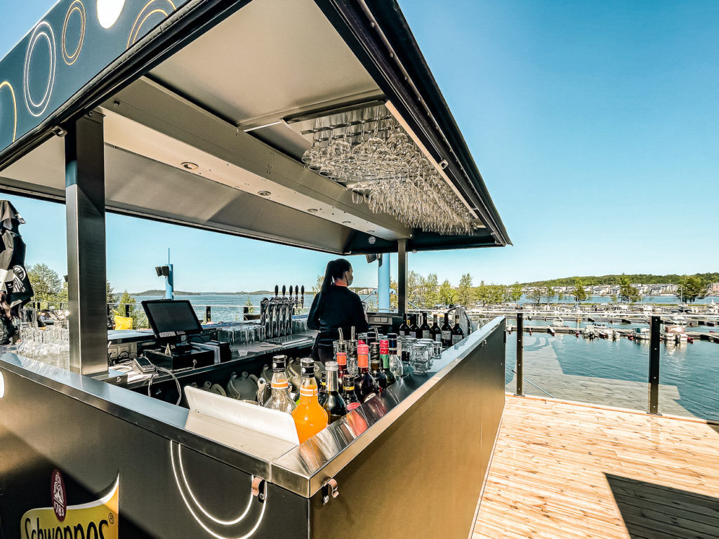
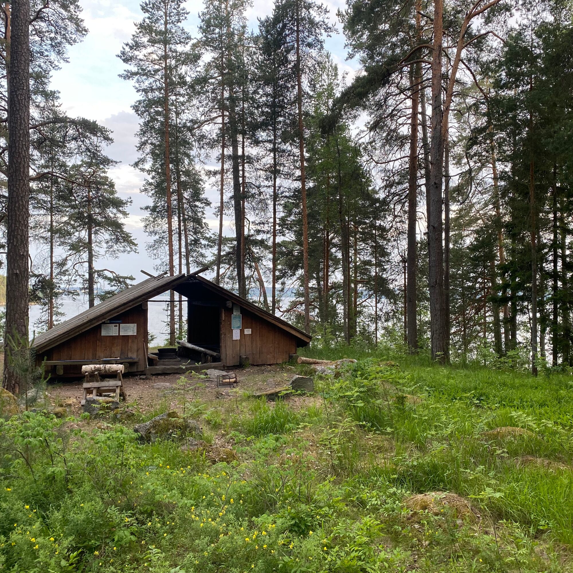
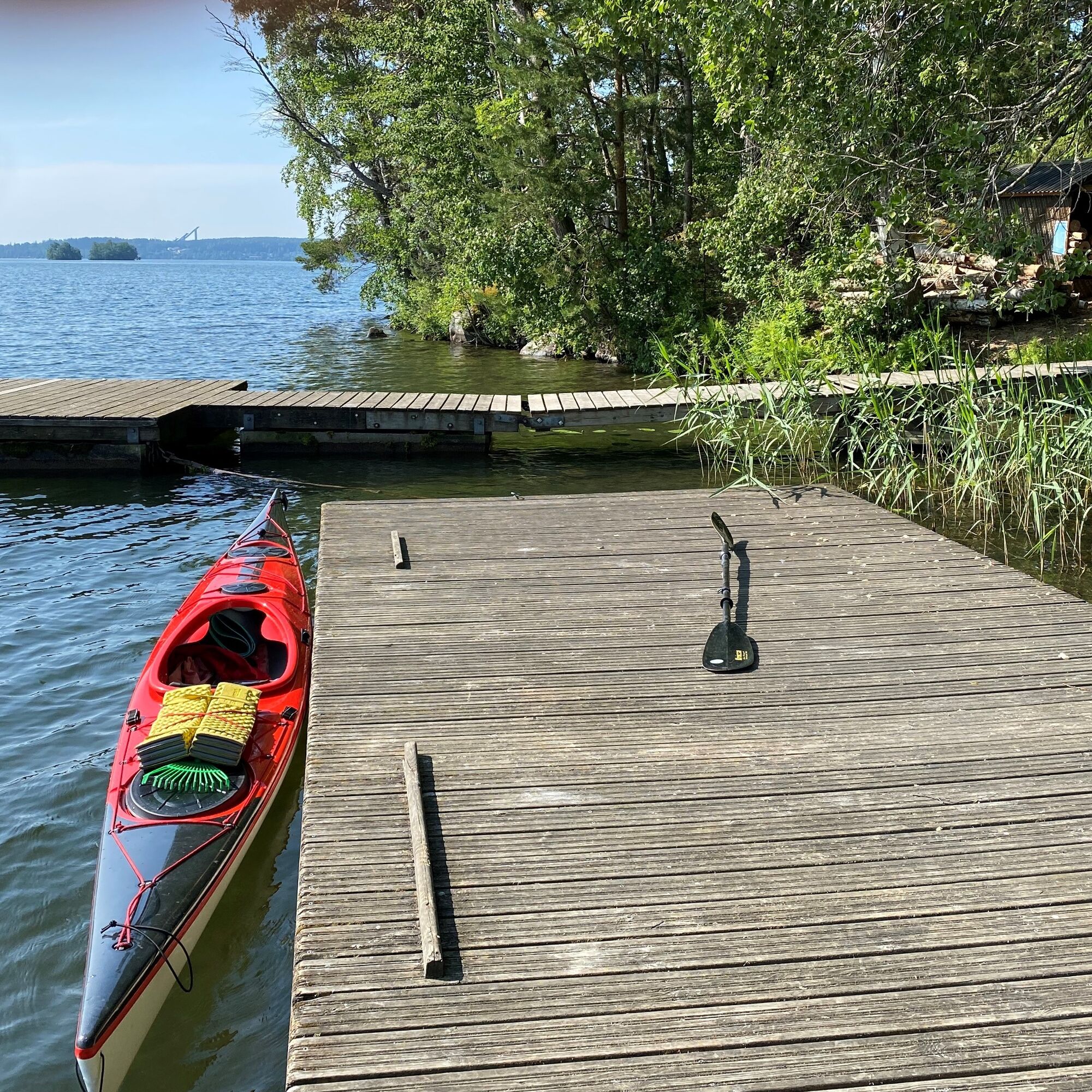
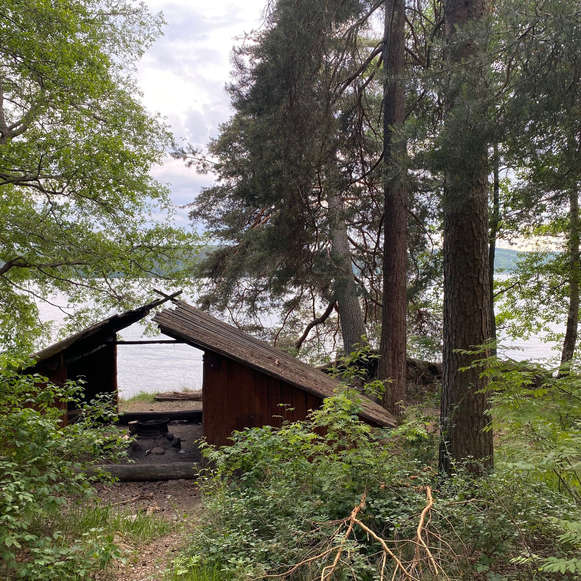
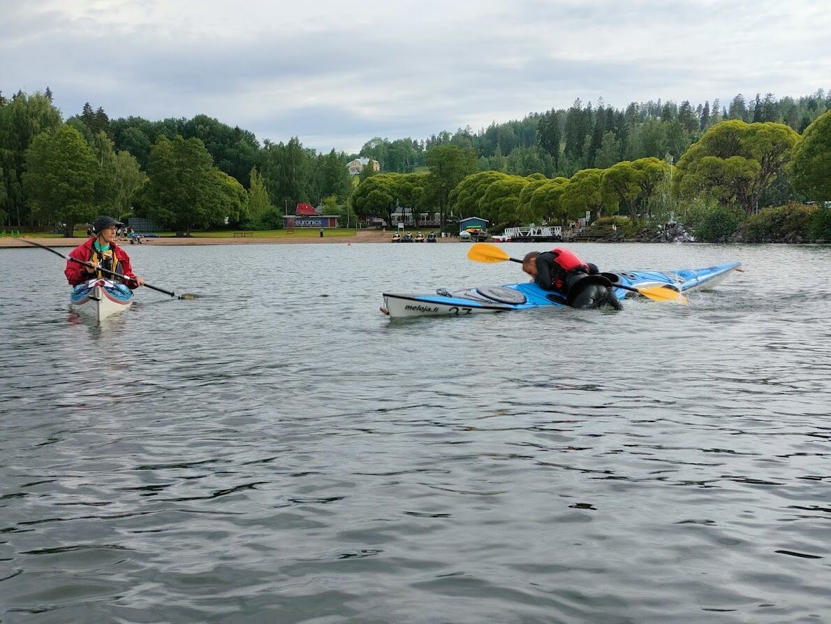
The best starting place at Messilänranta is the canoe dock of Meloja ry in the left rear corner of the marina.
Áno
A kayak is best suited for open waters, but an experienced paddler can also manage with an open canoe.
The route can be rowed with a church boat by bypassing the bridges and narrow passages.
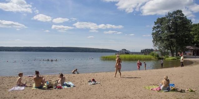
The waters near Messilä beach are suitable for SUP boarding, even to Enonsaari in calm weather.
Remember to use sunscreen, sunglasses, and a hat!
Always check the condition of your equipment.
Mandatory equipment: life jacket, spray skirt, whistle, and either a bilge pump or sponge.
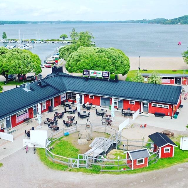
In strong winds or during cold water seasons, stay close to the shores. You can return from the Lahti direction using the same route without going out to the large lake basins or shorten the route. Beware of boat and ship traffic. Particularly in the harbor areas of Lahti there is a lot of water traffic, and the fairways can be narrow in places.There is free parking space in the Messilä marina area (address Satamapolku, Hollola), but on hot days space can be limited due to many swimmers and boaters. Do not block rescue routes or park in front of the boat ramp; after unloading equipment, move your car further to a parking spot if the shore is busy.
You can also start the route, for example, from the boat ramp at Jalkaranta near Myllysaari, or from the harbors of Lahti.
3
You can start the route from several points, for example from Lahti's Kahvisaari or Teiva's marina. The route is easy to shorten by shortcutting; for example, you can circle only Enonsaari (approx. 7 km) or Enonsaari and Selkäsari (approx. 9 km).
Allow enough time for your trip to enjoy the scenery and the atmosphere of the waterfront restaurants.
The areas near the beaches are suitable for SUP boarding. In calm weather, you can paddle even to Enonsaari (round trip 4 km). SUP boards are available for rent from local businesses.
Obľúbené výlety v okolí
-
5,0
Mustavuorenpolku, Lapakisto, Lahti
strednáTuristika 5,13 km -
Tiirismaa route, Hollola
svetloTuristika 4,78 km -
Lahti Health Forest - Metsälenkki
svetloTematická trasa 3,59 km -
Pitkäjärvenpolku, Lapakisto, Lahti
strednáTuristika 5,55 km -
On the waters of Hollola's Kirkonkylä, Hollola
strednáKajak / Kanu 24,4 km -
Sammalistonpolku, Lapakisto, Lahti
svetloTuristika 3,96 km -
Lake Vesijärvi scenery - paddling route from Lahti's Kahvisaari, Lahti
strednáKajak / Kanu 17,4 km -
Kapatuosian nature trail, Hollola
svetloTematická trasa 2,24 km -
Lake Vesijärvi route by motorcycle, Lahti
Motorrad 79,3 km -
Ahvenlamminpolku, Lapakisto, Lahti
strednáTuristika 5,59 km

Turistika a stopovanie


Nenechajte si ujsť ponuky a inšpiráciu na ďalšiu dovolenku
Vaša e-mailová adresa bol pridaný do poštového zoznamu.