




Päijänteen Paras - paddling route from Padasjoki
Úroveň náročnosti: 5
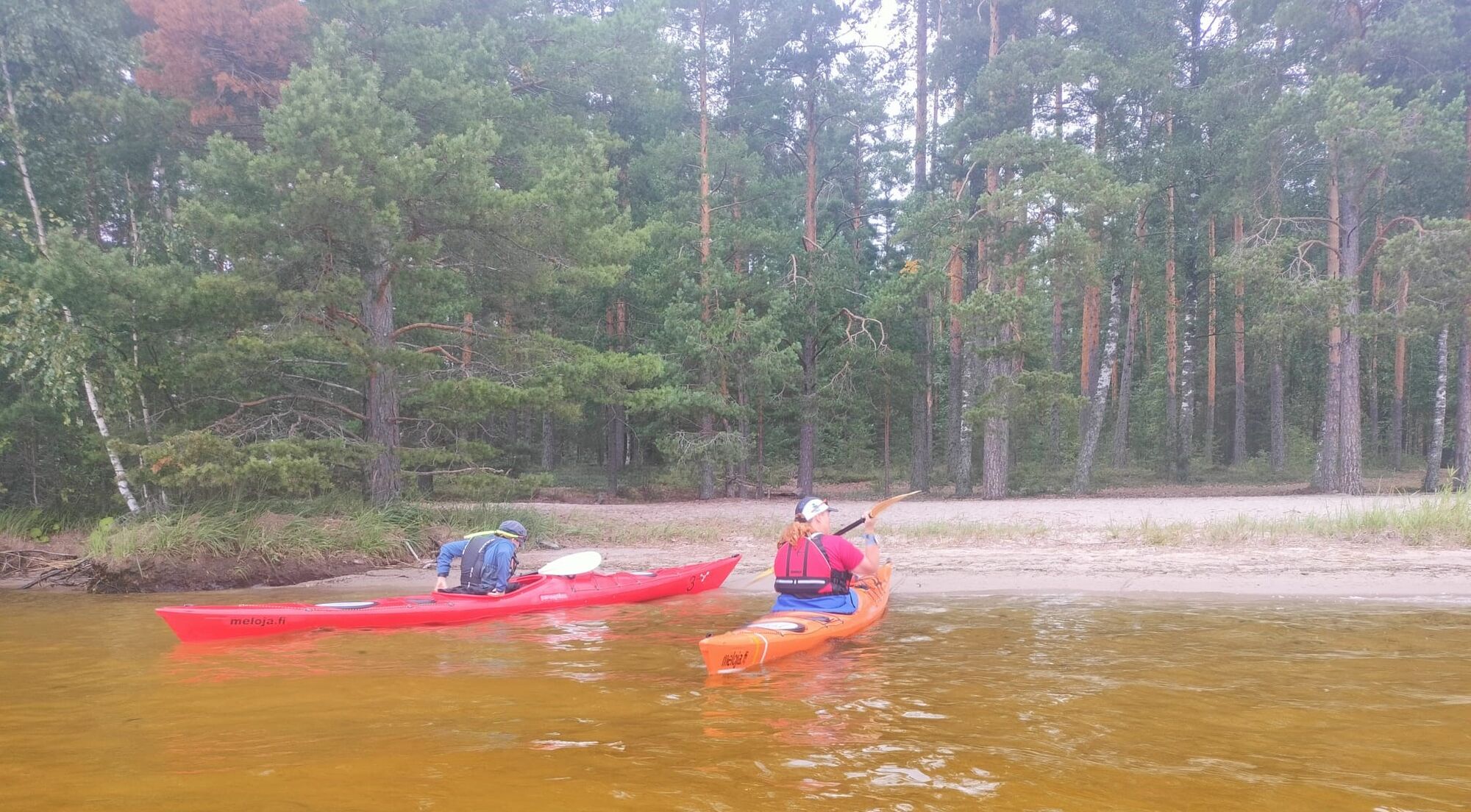
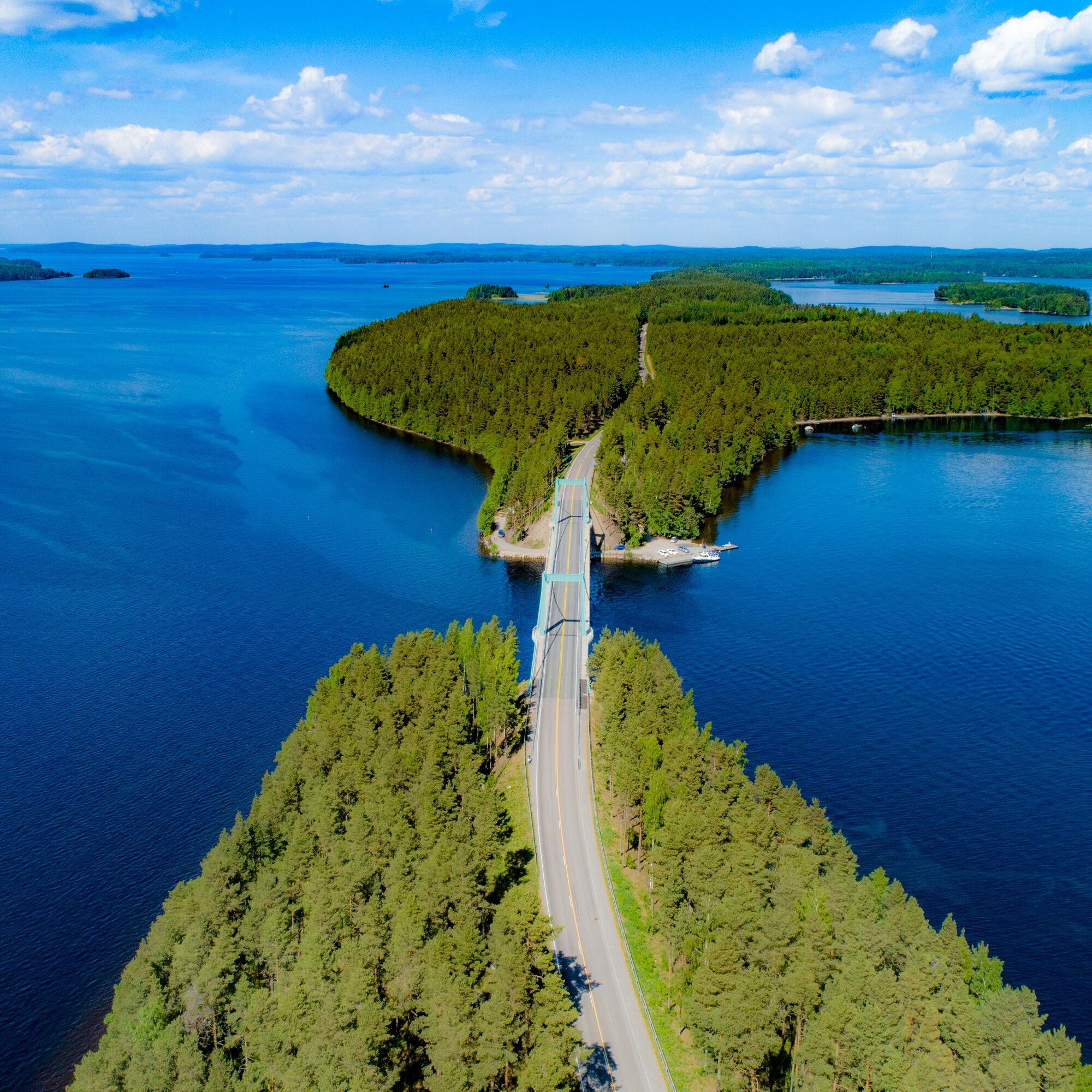
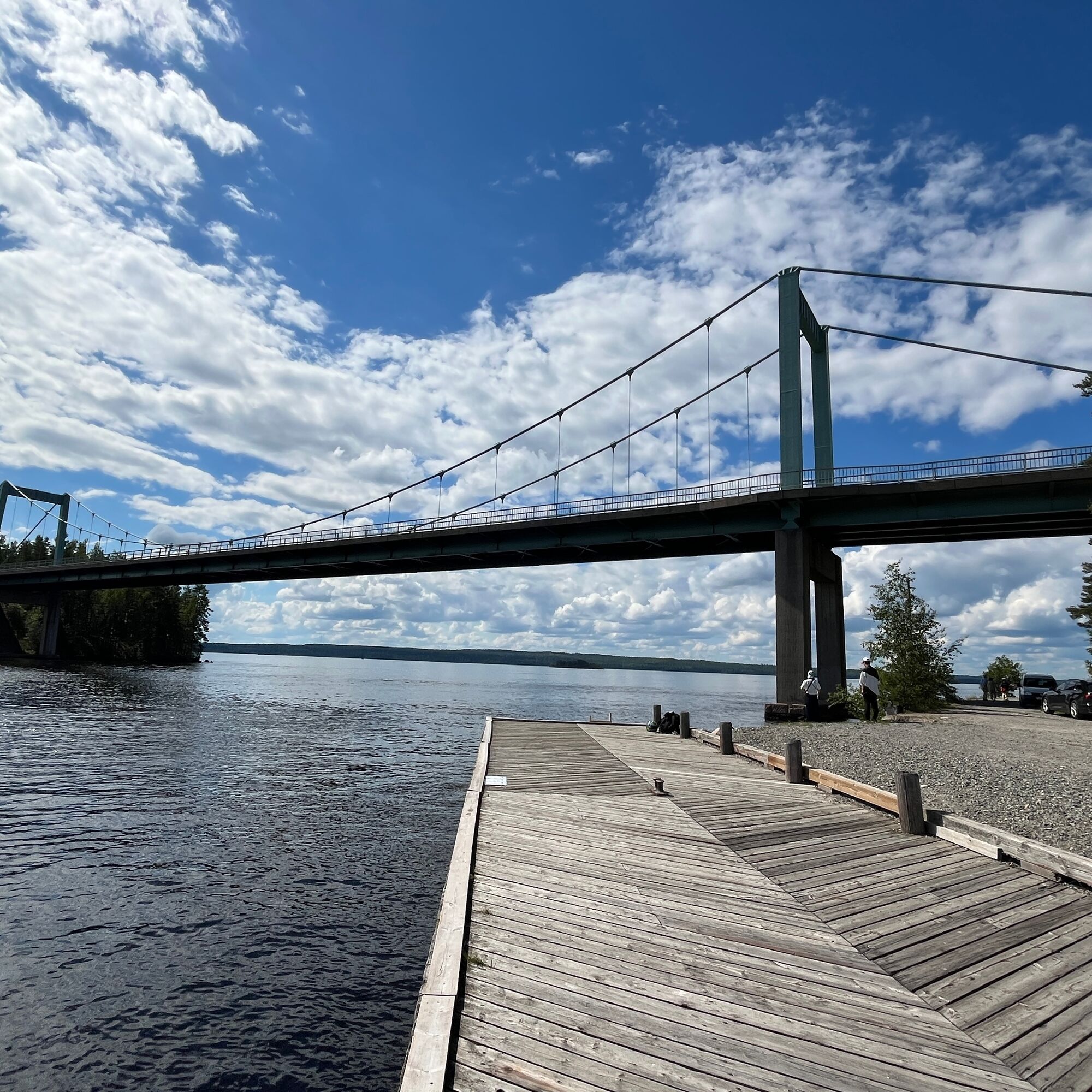
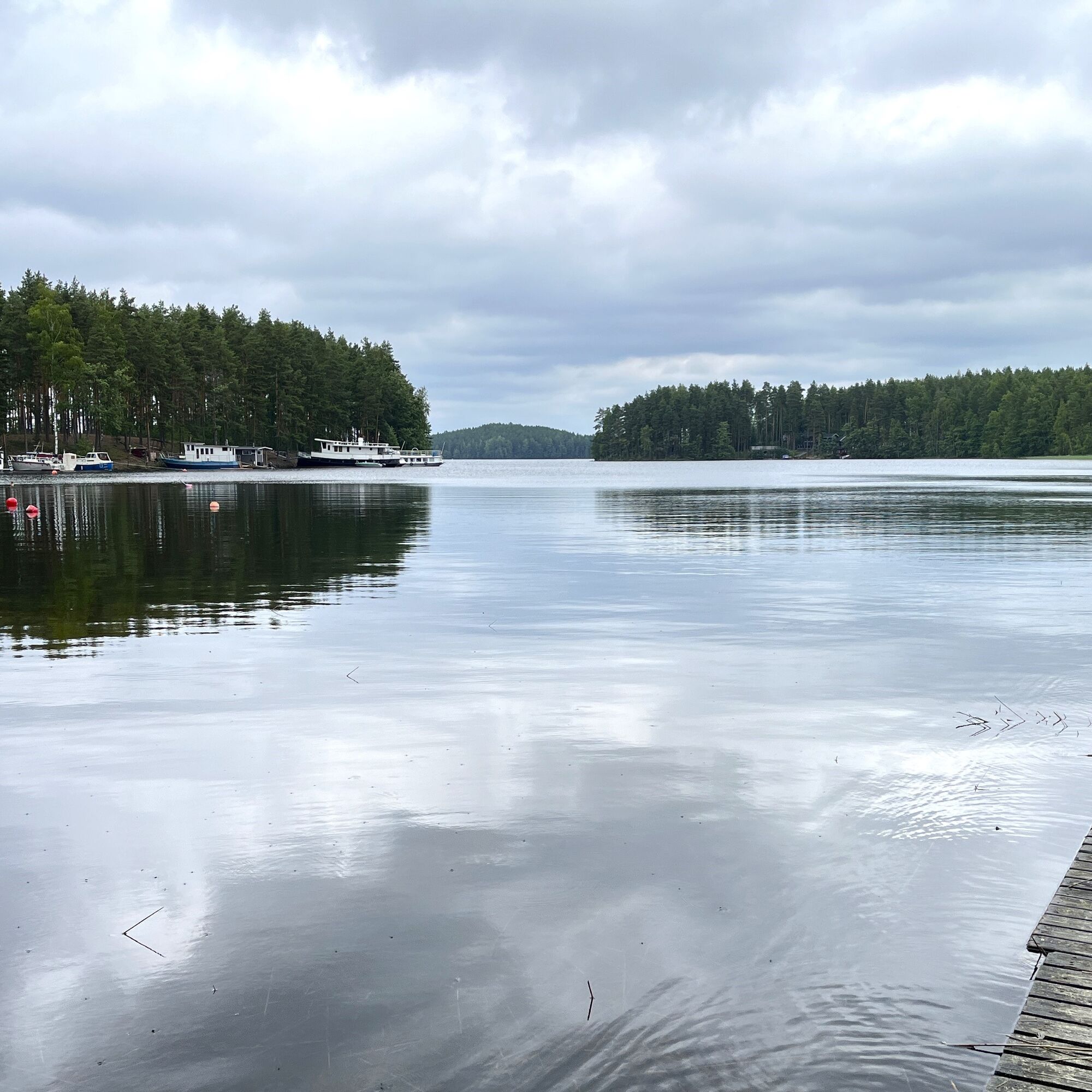
A wonderful and scenically diverse route crossing the waters of Päijänne in Padasjoki, Sysmä, and Asikkala. The entire route length is about 140 km, but it can be paddled in multiple stages or you can...
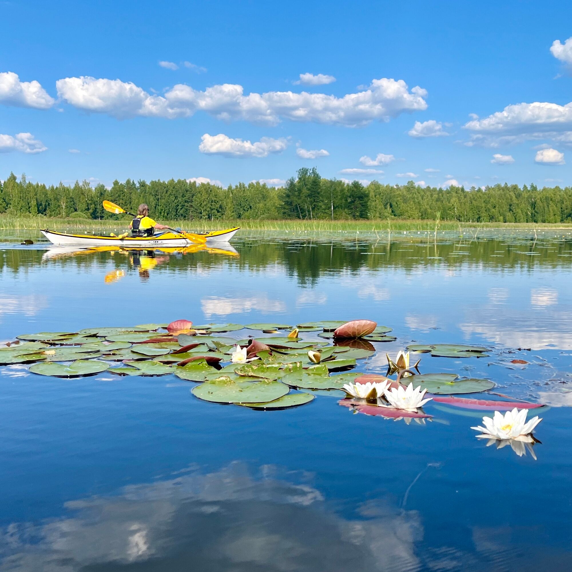
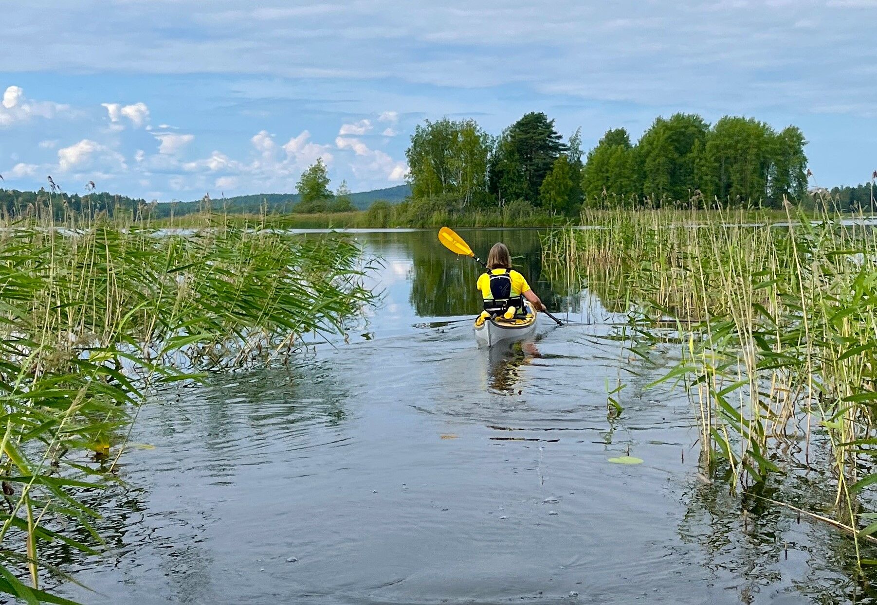
A wonderful and scenically diverse route crossing the waters of Päijänne in Padasjoki, Sysmä, and Asikkala. The entire route length is about 140 km, but it can be paddled in multiple stages or you can create shorter subroutes. Total duration about 6-9 days.
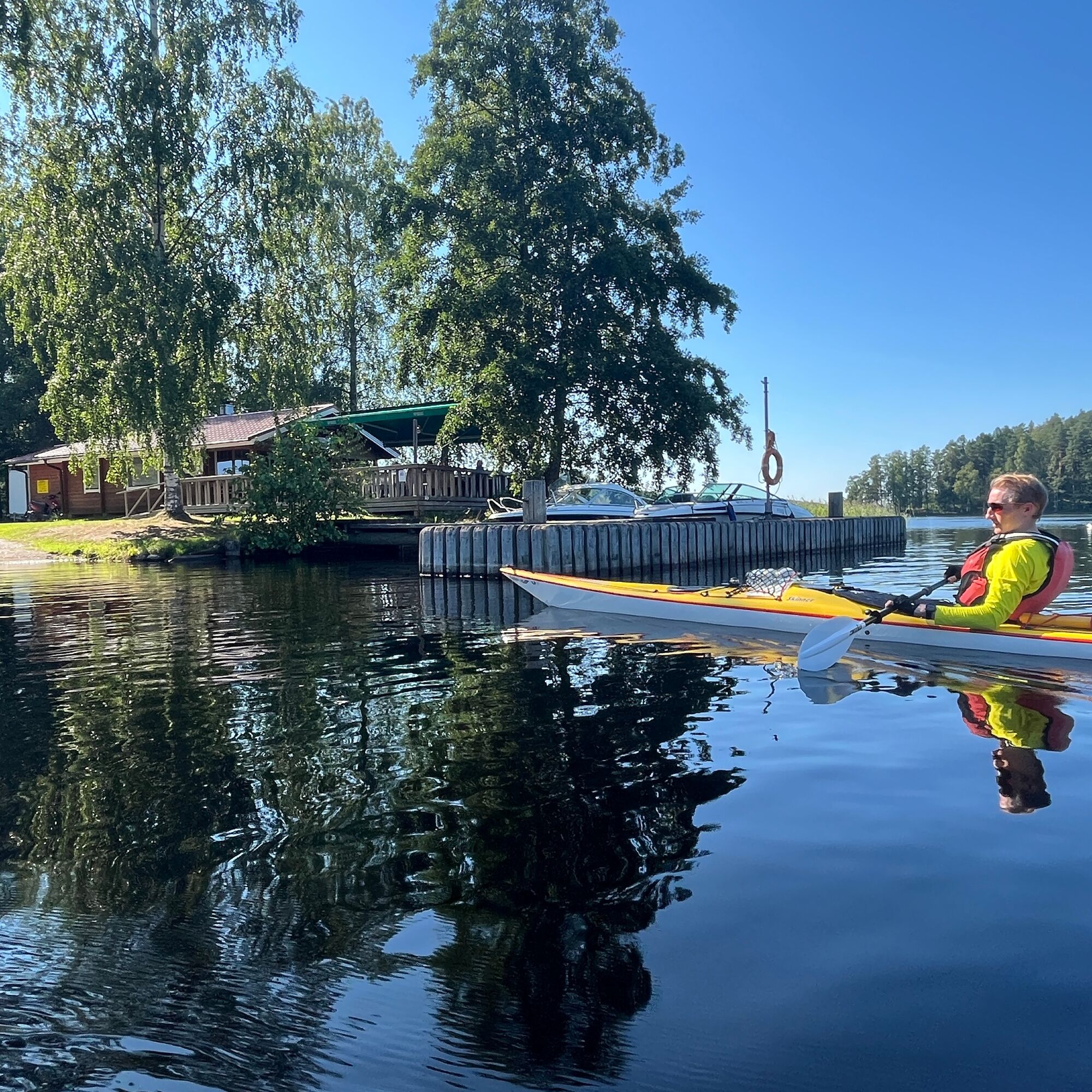
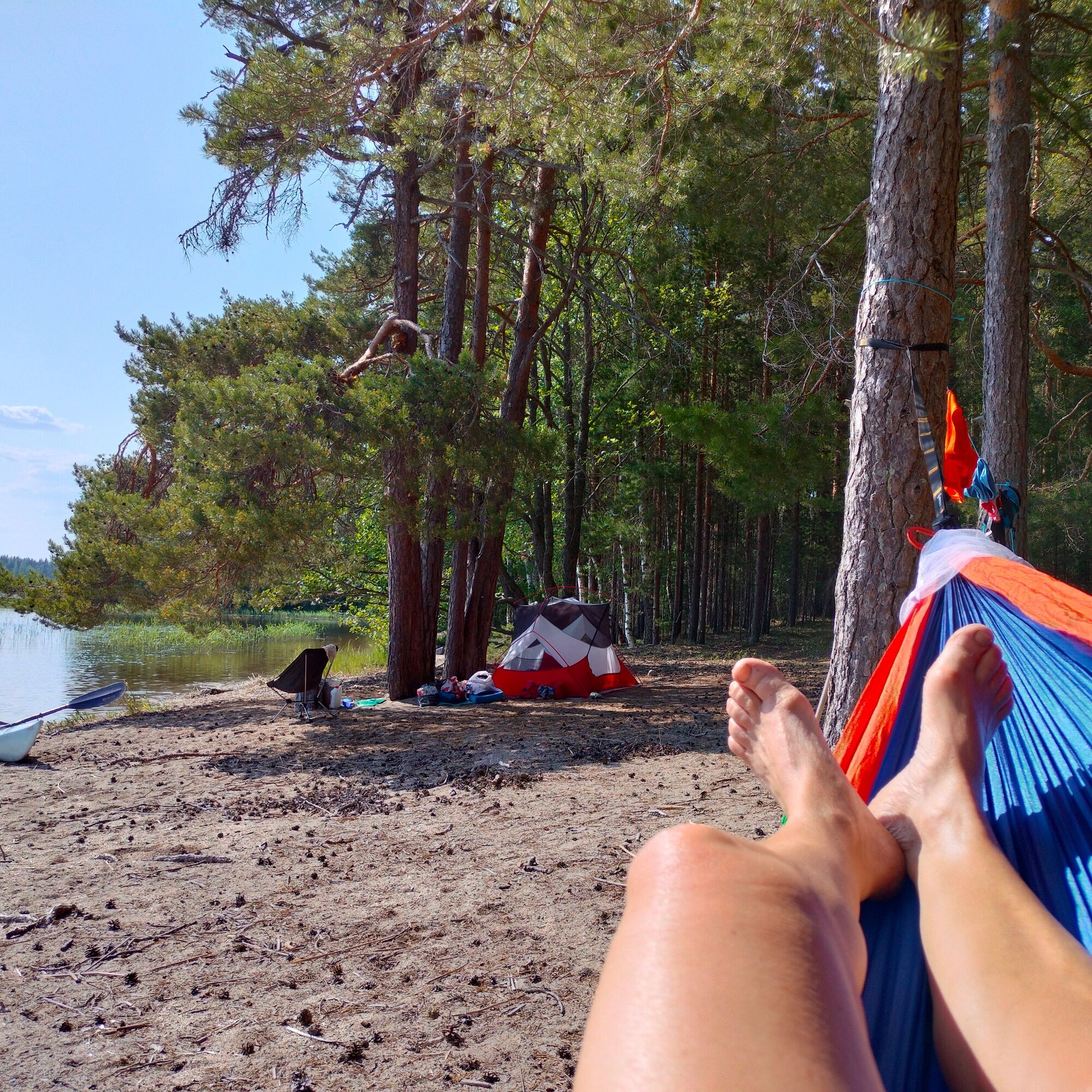
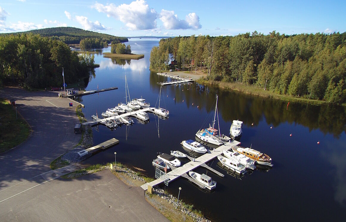
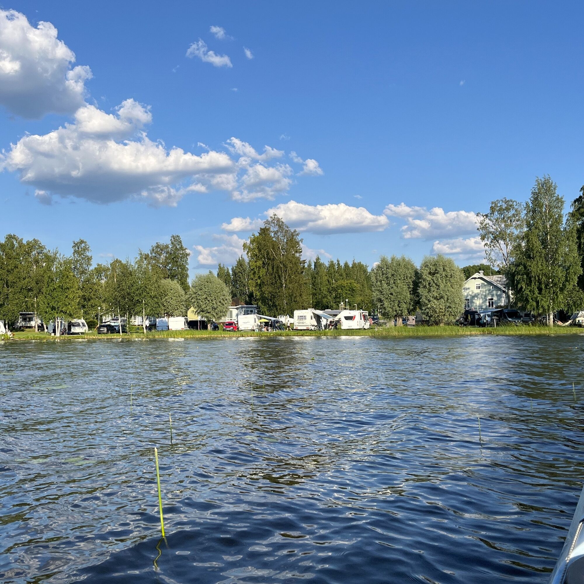
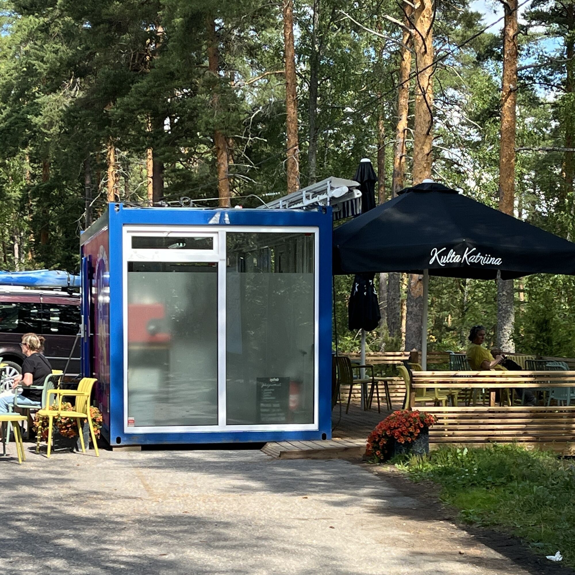
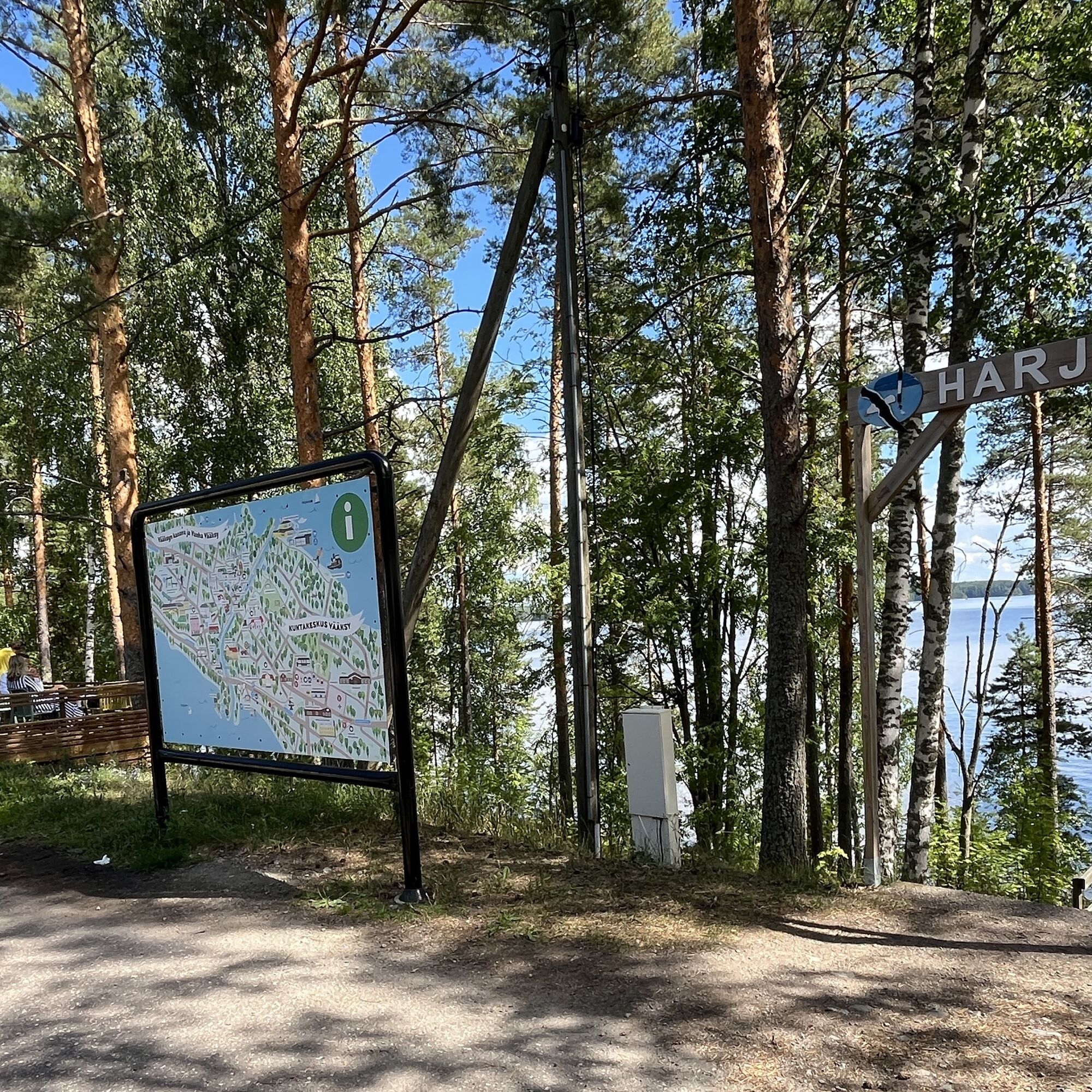
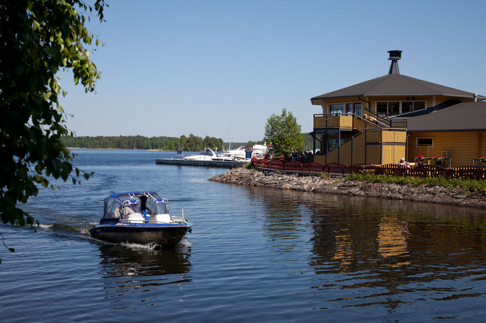
Along the route are many summer cafes, restaurants, and other services. In the national park and elsewhere on the route are several rest spots, many also suitable for overnight camping. The stage starting points in municipal centers have grocery stores, accommodations, many sights, and also summer events.
Stage 1: Padasjoki - Sysmä, 55 - 60 km.
In Padasjoki, the national park archipelago and crossing the wide, windy Tehinselkä. From Päijätsalo to Sysmä, narrower and greener archipelago weaving.Stage 2: Sysmä - Pulkkilanharju, 35 - 40 km.
Protected route between islands from Sysmä, then through large open waters towards Pulkkilanharju in the national park scenery.Stage 3: Pulkkilanharju - Vääksy, 20 - 25 km.
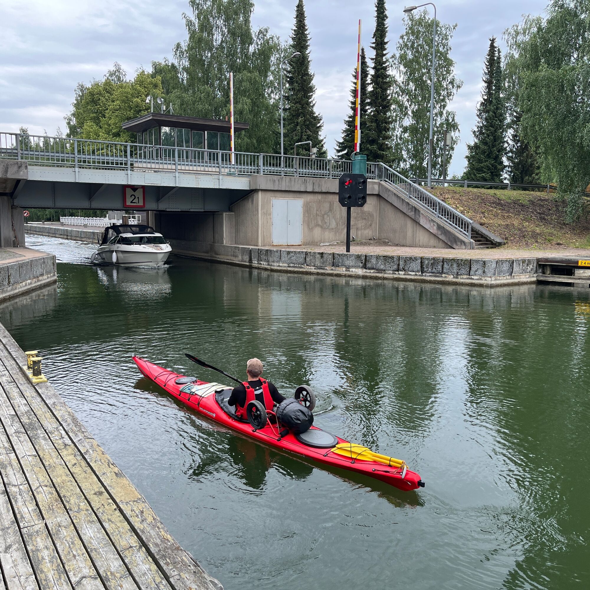
The eastern or western side of Pulkkilanharju and across Asikkalanselkä to the mouth of Vääksy canal.Stage 4: Vääksy - Padasjoki, 35 - 40 km.
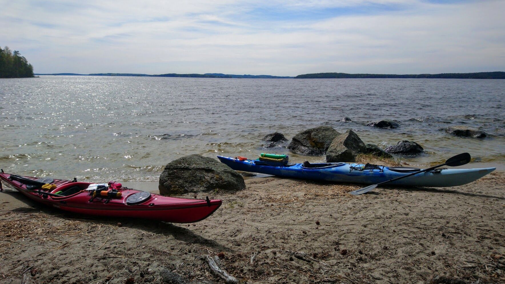
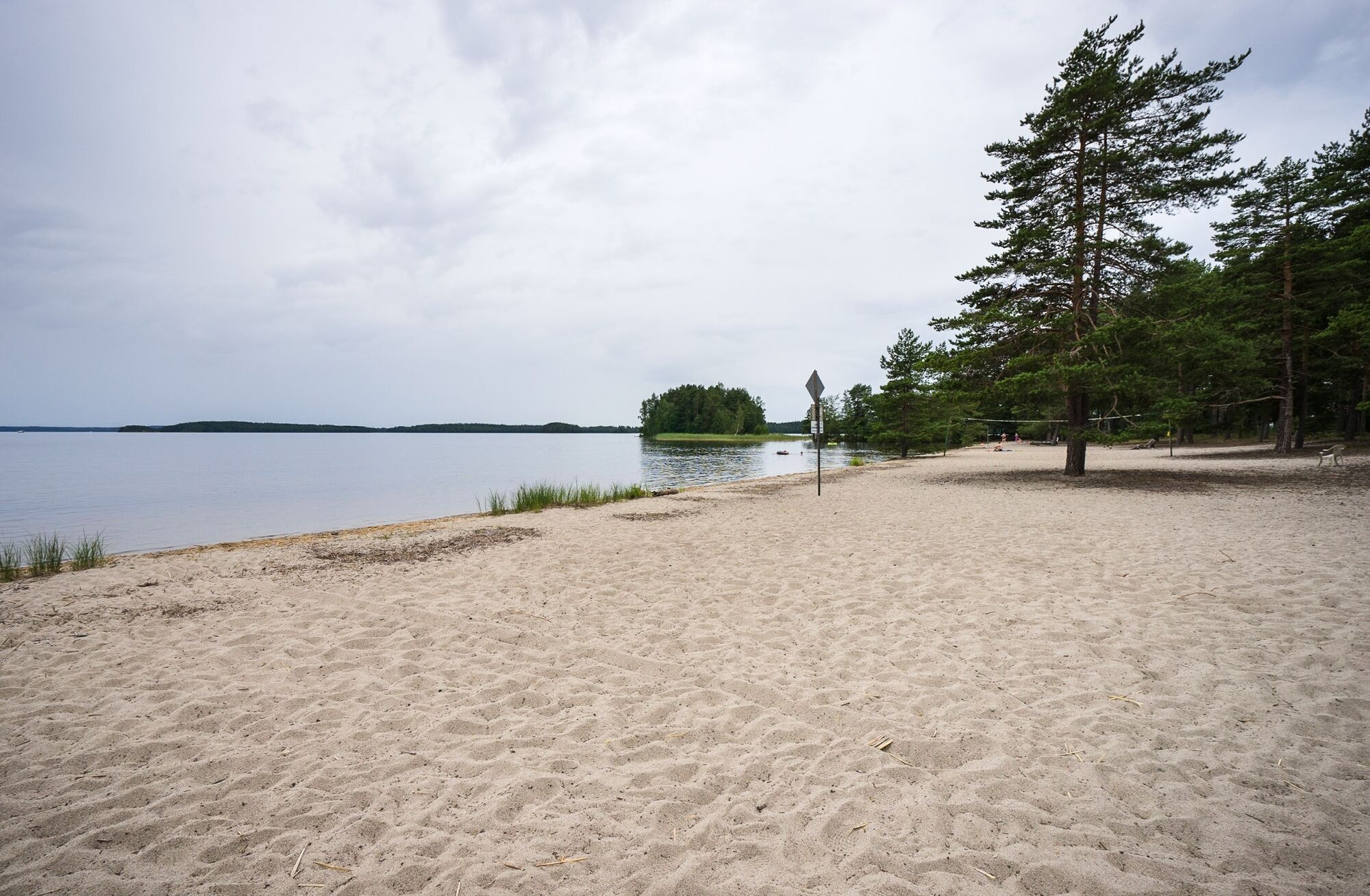
Päijänne's Asikkalanselkä and then through Pulkkilanharju to the national park archipelago and onwards to Padasjoki. The route also passes the famous Kelventeen island with its fine sandy beaches.
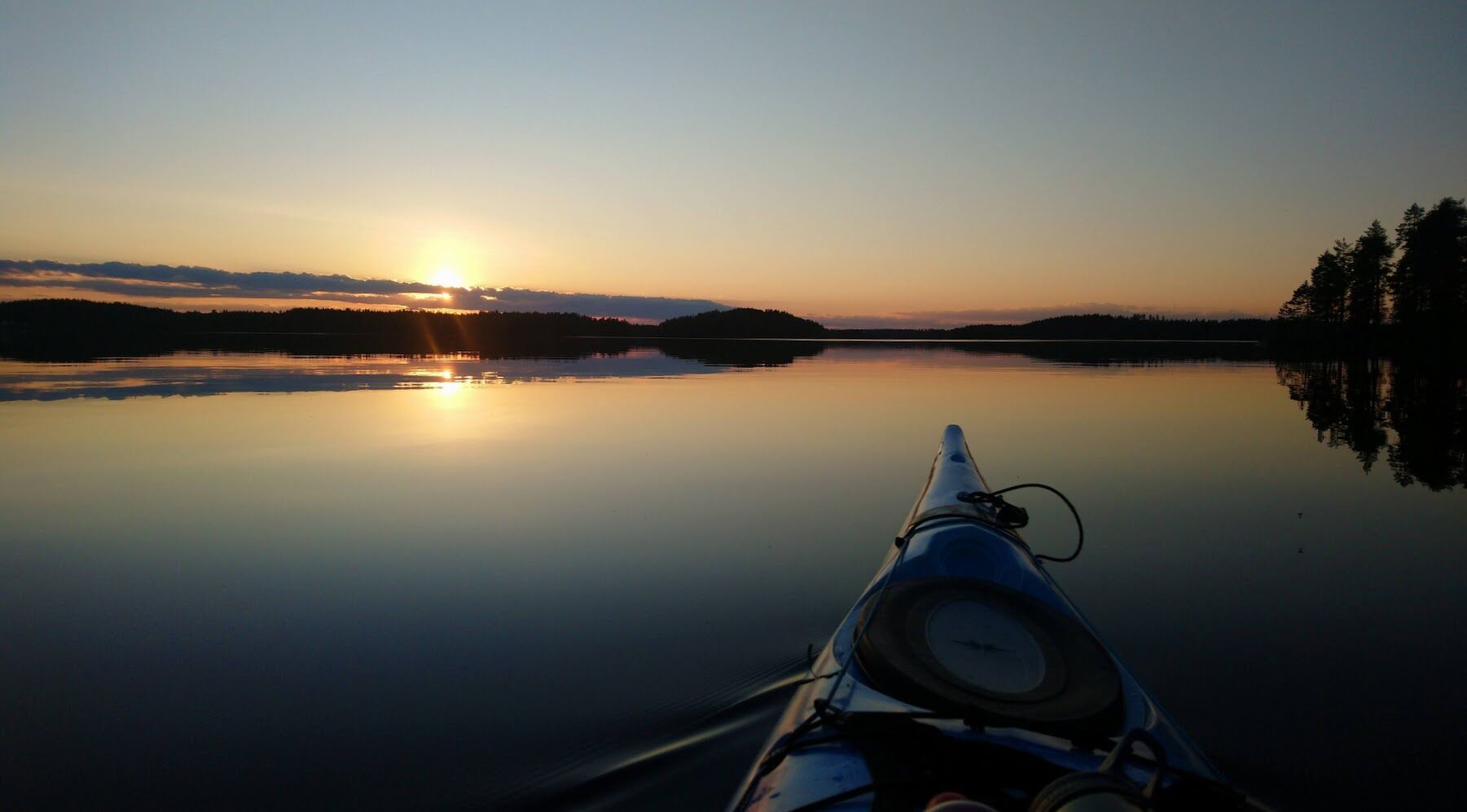
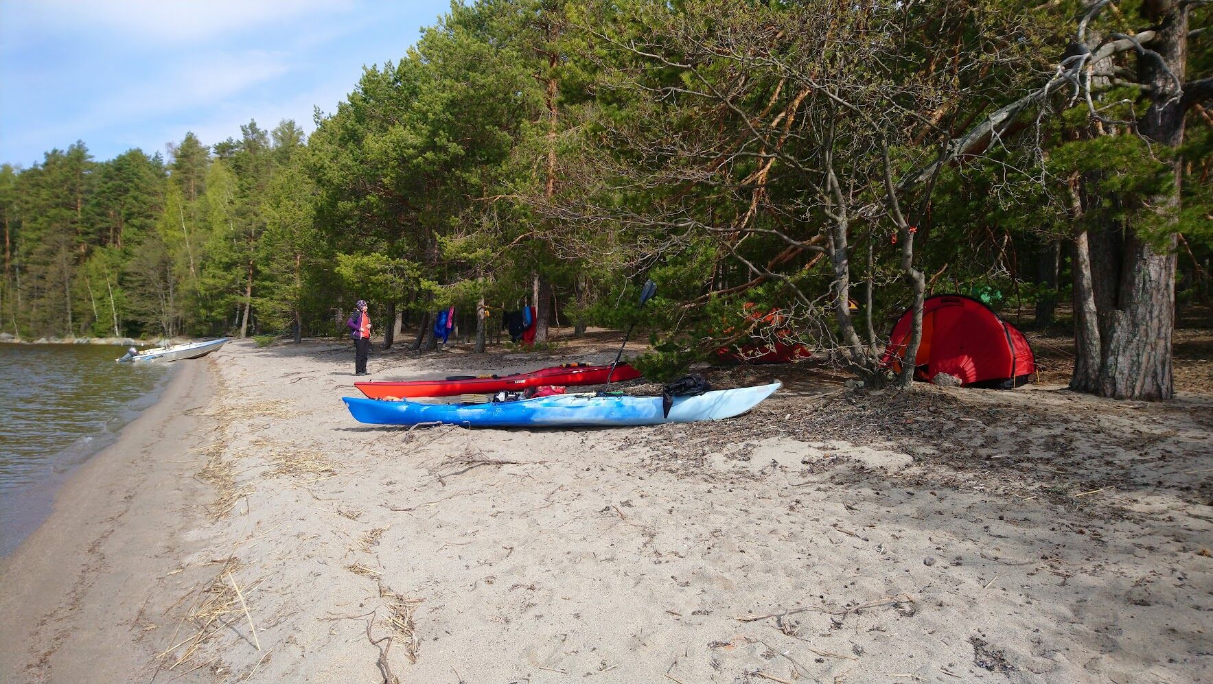
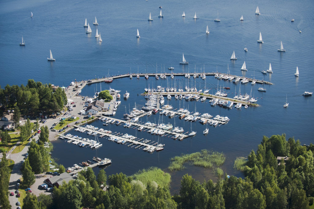
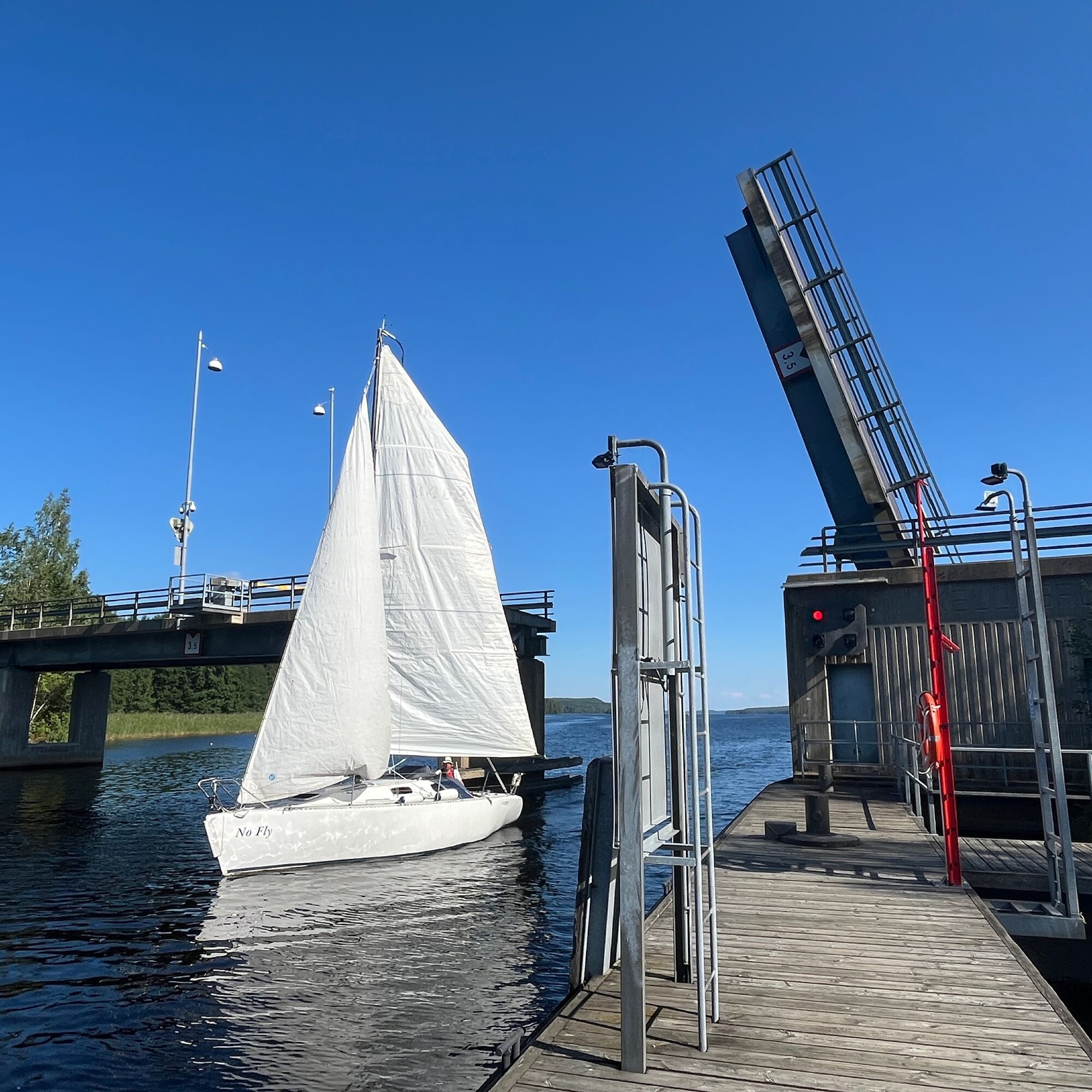
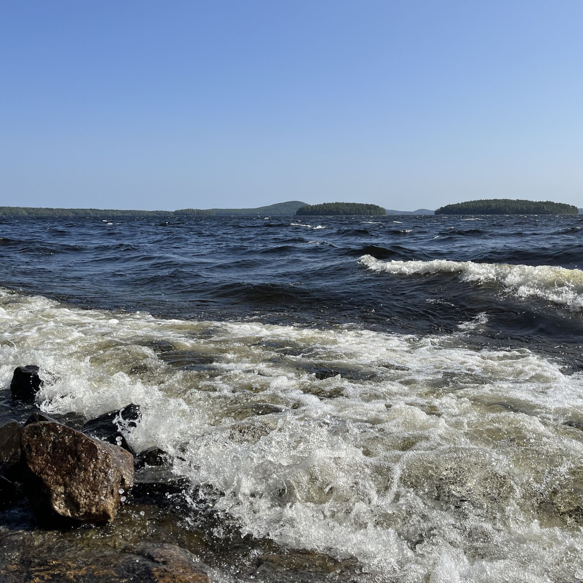
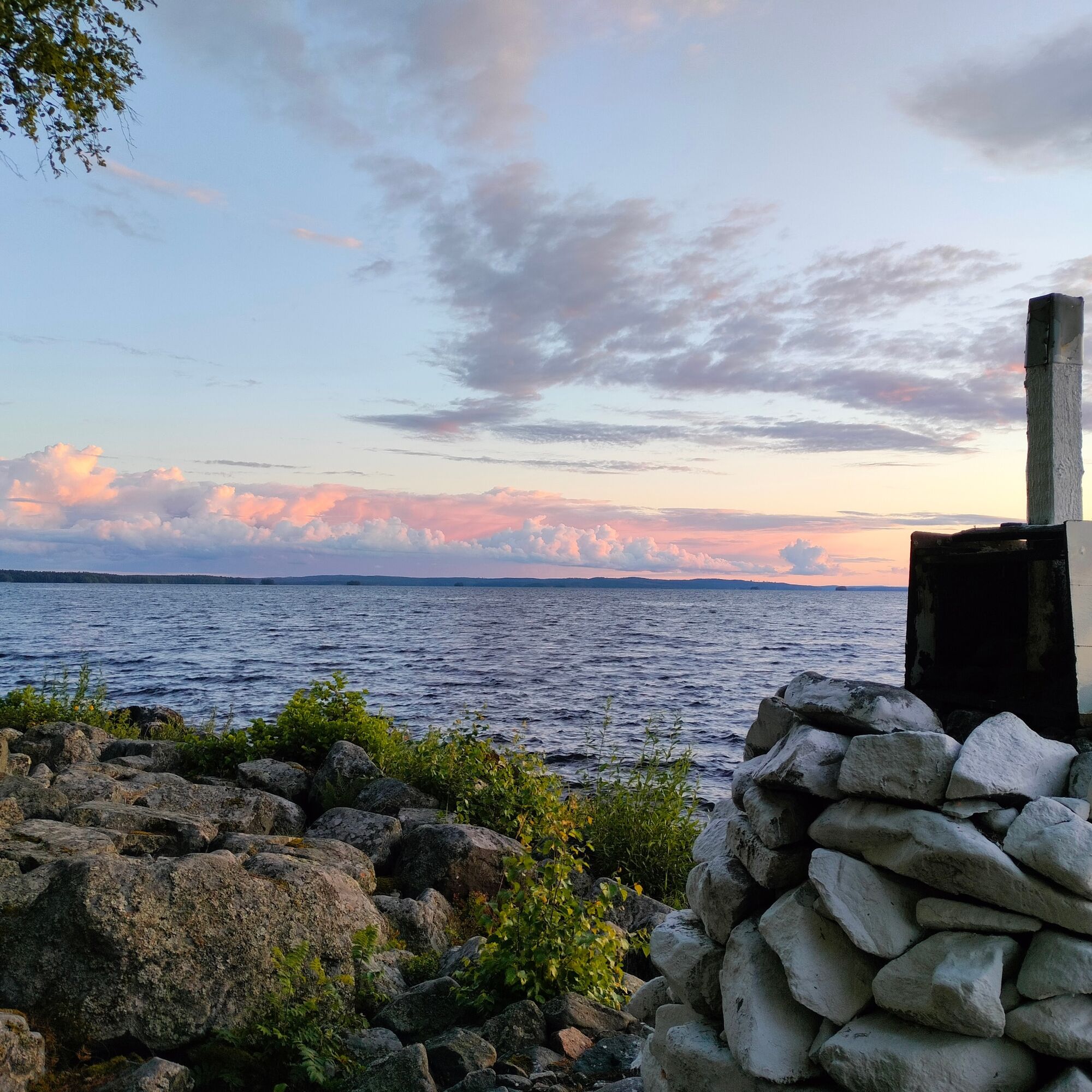
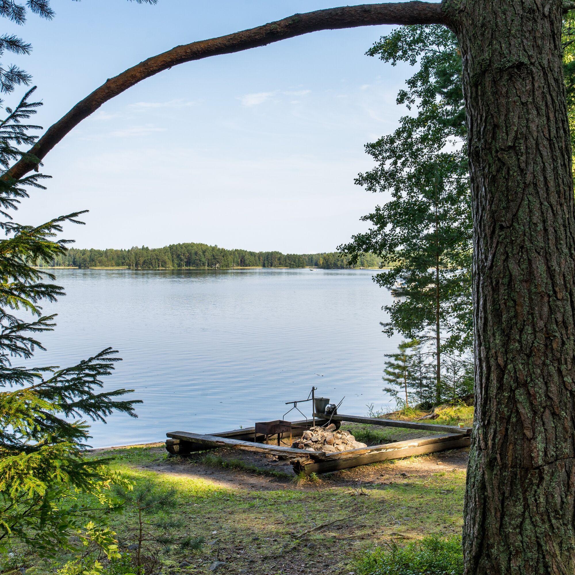
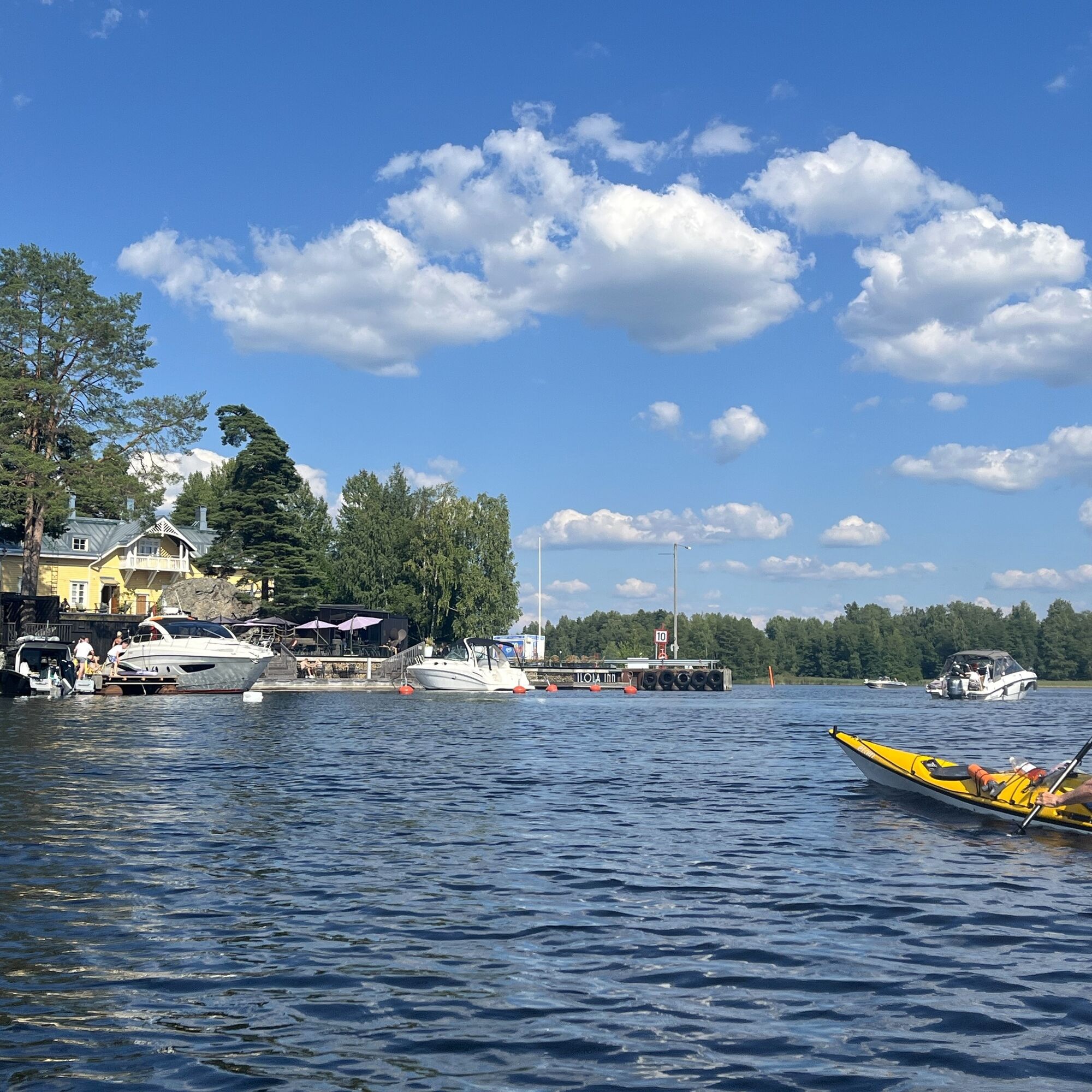

The route is not marked on the water but is a guideline example.
Áno
Always check the condition of your equipment.
Mandatory equipment: life jacket, spray deck, whistle, and either a barkeep or sponge.
Camping stove and tent or other overnight gear (for long stages).
Remember to use sunscreen, sunglasses, and headwear!
Parking space at the Paddling Center yard in Padasjoki. Plenty of parking space at Laivaranta for those starting from Padasjoki with their own equipment.
5
Enough snacks and drinking water. Distances are long.
If you camp in spring or autumn, check the availability and opening hours of services.
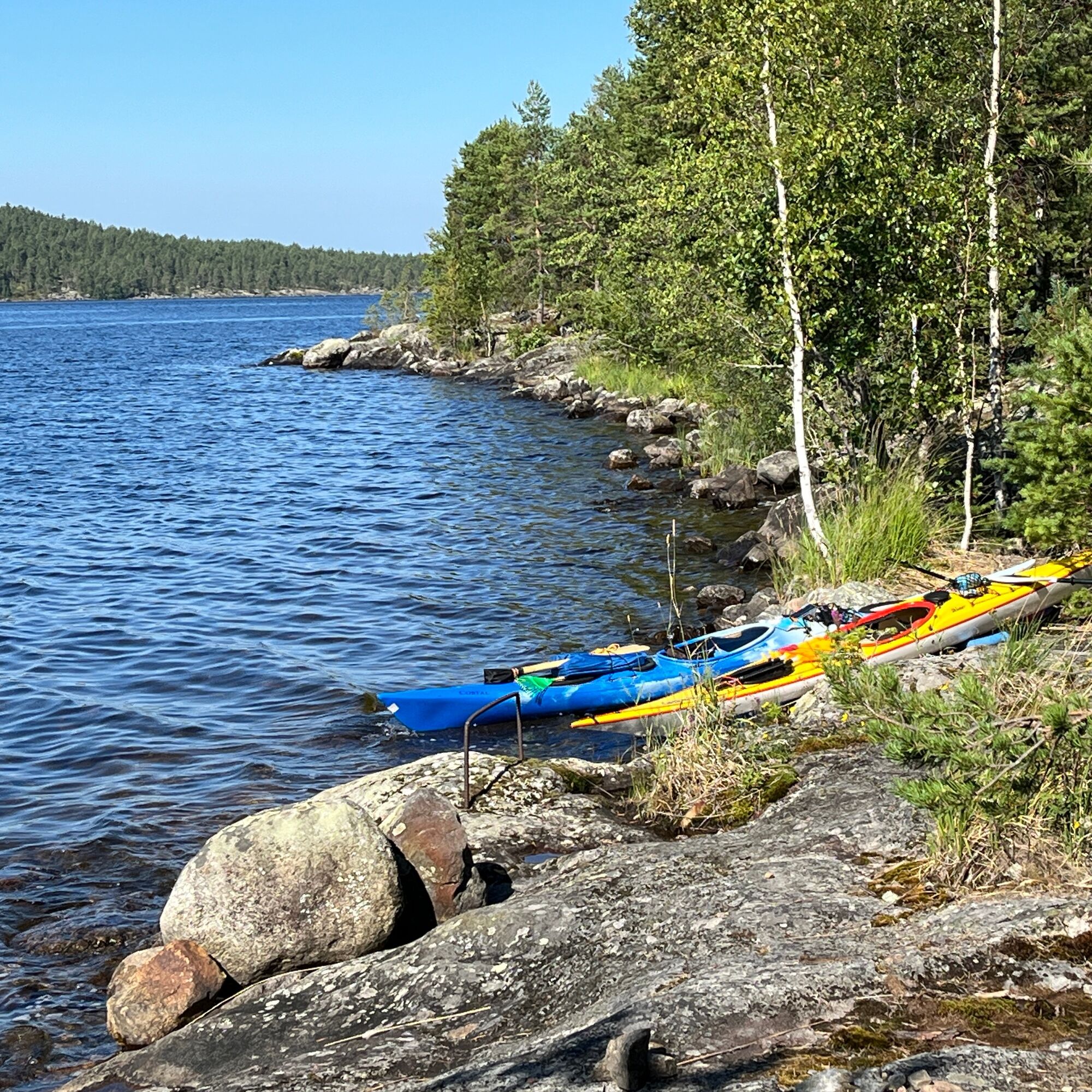
Explore the national park's sights. For example, there are nature trails on Kelventeen Island, Pulkkilanharju, and Päijätsalo.
There is a self-heated wilderness sauna on Lehtistensaari (firewood fee 5€/10€).
The Västinki in Linnasaari at the northeastern tip of Linnasaari is a nationally valuable ancient relic. You can view the rocky cliff of the ancient castle from the water (no landing allowed, location is on private land).
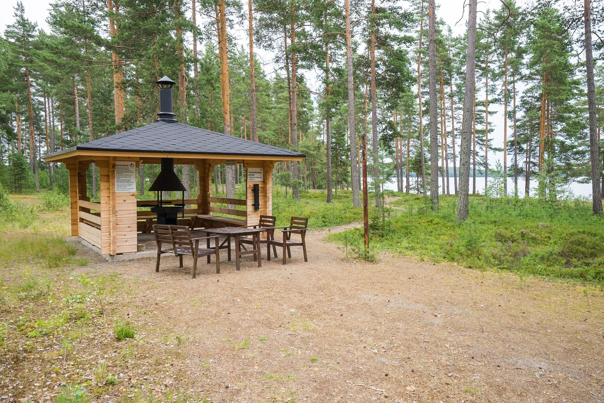
During forest fire warnings, open fires are prohibited at open campfire sites, but there are also some covered grills along the route where you can warm up. Always bring your own camping stove as well.
Obľúbené výlety v okolí
-
Pulkkilanharju nature trail (4.7 km), Päijänne National Park
svetloTematická trasa 4,72 km -
Pulkkilanharju nature trail (2.4 km), Asikkala
svetloTematická trasa 2,35 km -
Bikepolku, Sysmä
strednáMountainbike 5,39 km -
Kelvenne ridge trail, Päijänne National Park
strednáTuristika 9,40 km -
National park paddling to Kelvente, Padasjoki
strednáKajak / Kanu 30,0 km -
Sysmä - Suopelto cycling route
svetloCyklistika 12,5 km -
Päijänne-Ilves, Padasjoki
strednáTuristika 12,9 km -
Päijätsalo, Sysmä
strednáTuristika 4,14 km -
Little Lake Adventure, Padasjoki
strednáKajak / Kanu 9,11 km -
Päijätsalo circuit, Sysmä
strednáKajak / Kanu 11,3 km
Turistika a stopovanie


Nenechajte si ujsť ponuky a inšpiráciu na ďalšiu dovolenku
Vaša e-mailová adresa bol pridaný do poštového zoznamu.





