




Särkilahti archipelago route, Sysmä
Úroveň náročnosti: 2
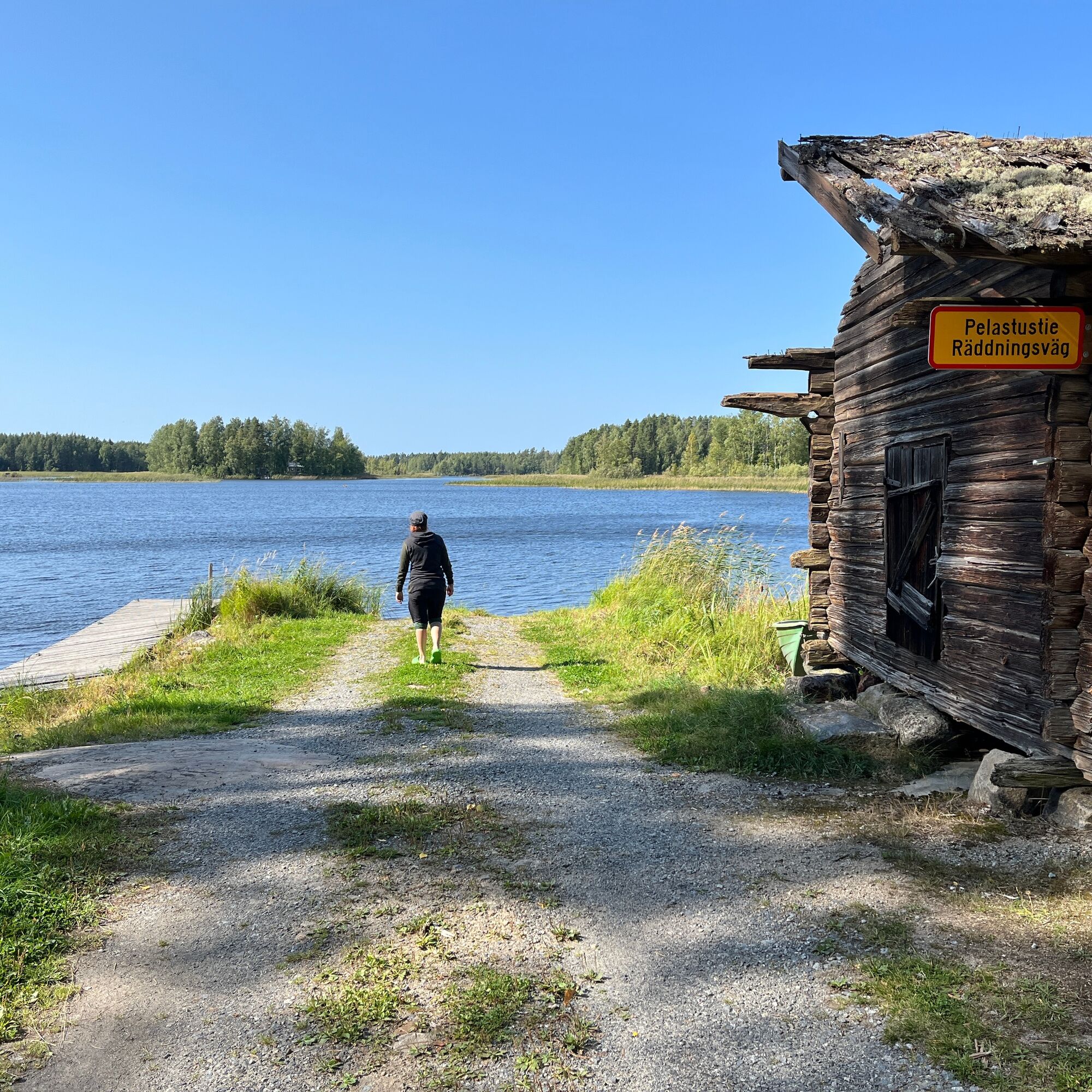
From the Särkilahti village association's swimming and boat beach, you can venture through narrows and under the shelter of small islands. At Palvala boat harbor you can get out to stretch your legs. It...
From the Särkilahti village association's swimming and boat beach, you can venture through narrows and under the shelter of small islands. At Palvala boat harbor you can get out to stretch your legs. It is easy to do a shorter 5-6 kilometer loop on Soilahti, where the route stays entirely under the protection of islands and shores. Another shorter option is to circle Suvisten saari starting from Palvala shore. An experienced water traveler can continue further along the shores of Päijänne, taking into account the wind exposure of Tehinselkä.

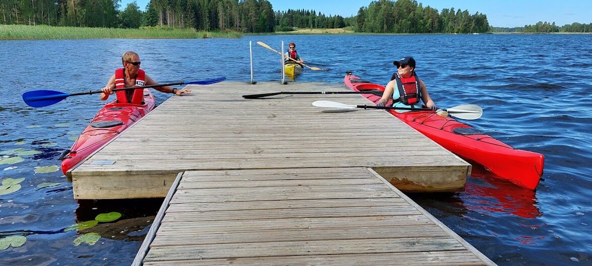
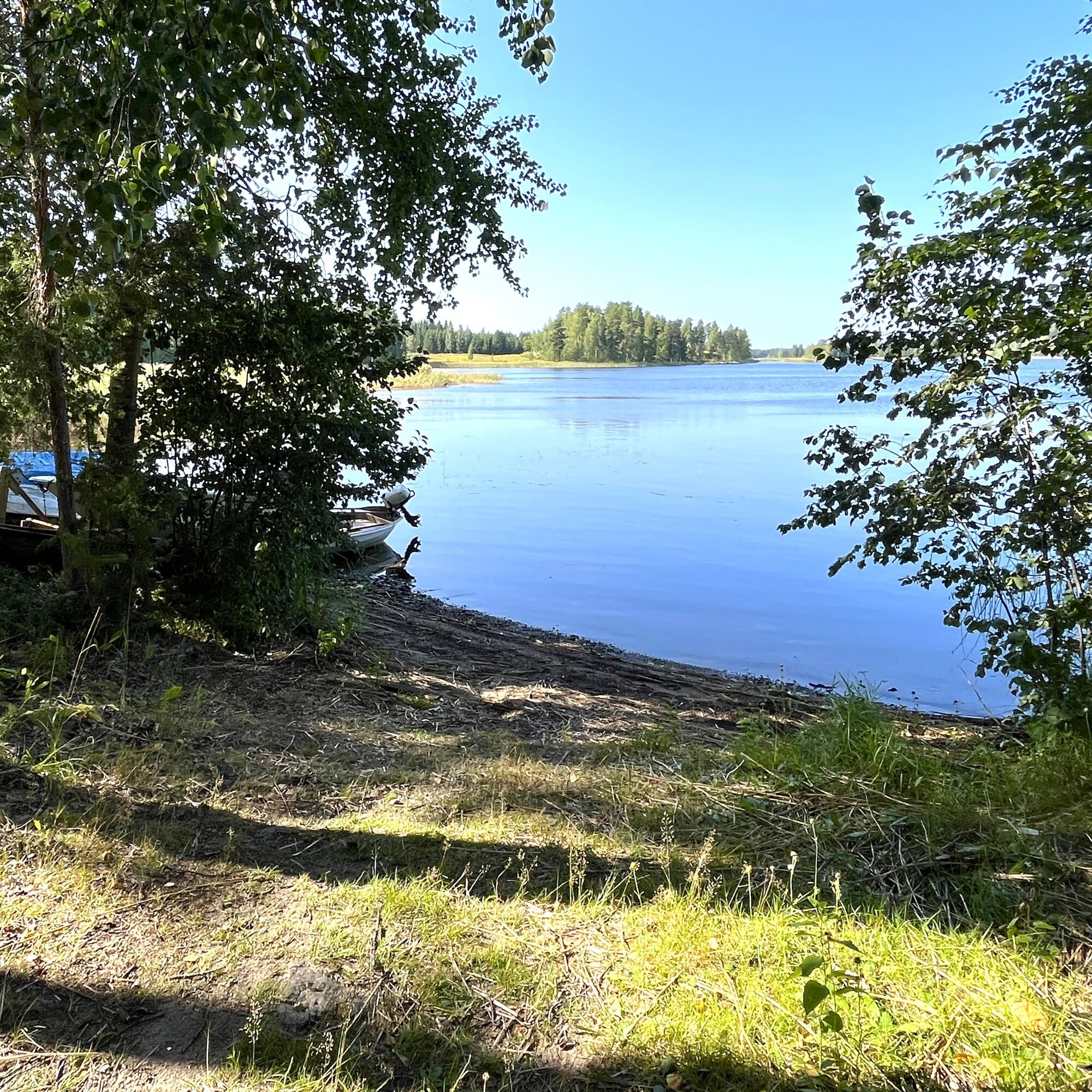
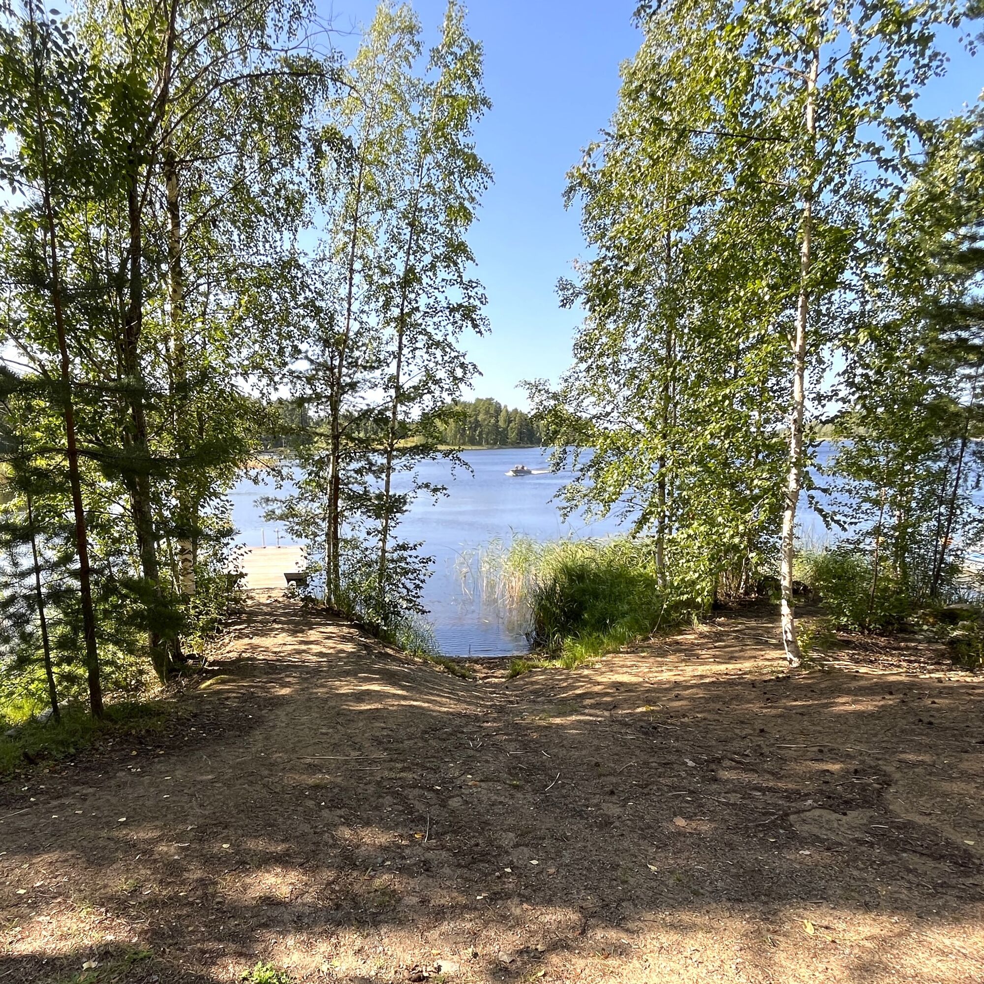
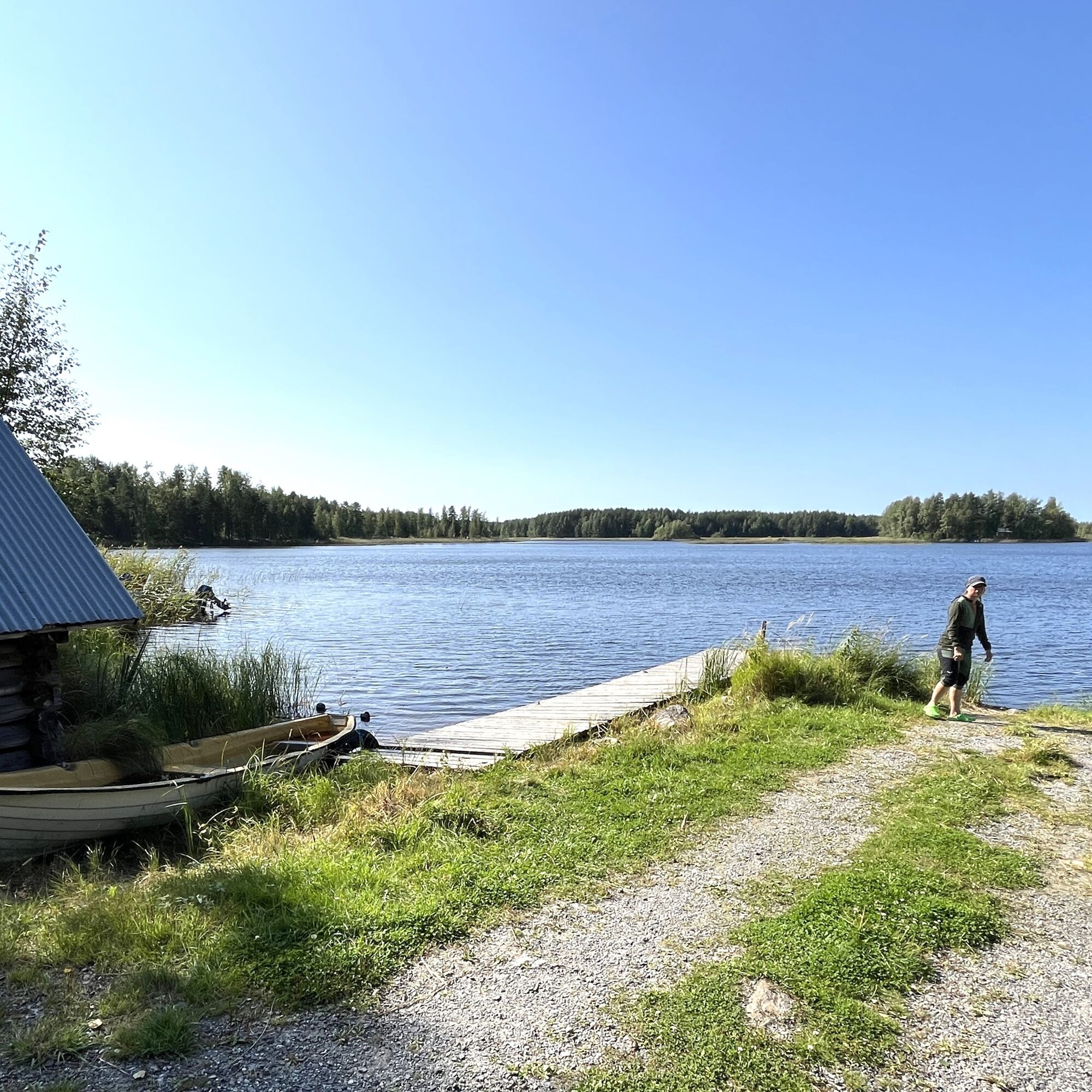

The route is not marked on the water, but the route is a suggested example.
Kayak, open canoe, rowing boat, SUP board designed for touring, or packraft backpack raft.
Life jackets, regardless of which equipment you use on the water. Also a spray skirt and bailer when paddling.
Always pack your phone and spare clothes in waterproof packaging.
Remember to wear life jackets regardless of which equipment you use on the water.
Pack your phone and spare clothes in waterproof packaging.
When heading further out to Päijänne, you need good skills in rough water paddling.
The village beach and boat harbor are at the end of Rantatie. Drive carefully, the road is very narrow.
Boat harbors have parking space for a few cars.
Do not park in front of the boat ramp. Leave turning space for boat trailers.
2
An experienced paddler can head on a longer full-day trip along Päijänne and through the straits of Töijensalo islands to Ilola and Suopelto, or even further, for example an overnight trip to Sysmä village center.
There are also some nice route options north from Soilahti, for example towards Vintturi.
The sheltered local route is suitable for transporting various watercraft from a rowing boat to a SUP board.
You can also start the trip from Palvala boat ramp (Palvalantie, Sysmä, boat harbor at the end of the road).
It is easy to shorten or extend your own route by winding between the islands, but you have to be careful in the archipelago maze to stay on track.Obľúbené výlety v okolí
-
Kammiovuori, Sysmä
strednáTuristika 3,85 km -
Bikepolku, Sysmä
strednáMountainbike 5,39 km -
Sysmä - Suopelto cycling route
svetloCyklistika 12,5 km -
Retkipyöräreitti Sysmä - Luhanka - Tammijärvi - Hartola - Sysmä
ťažkéCyklistika 120,7 km -
The Great Loop route Hartola - Asikkala - Sysmä
ťažkéCyklistika 131,5 km -
Päijätsalo, Sysmä
strednáTuristika 4,14 km -
Päijätsalo circuit, Sysmä
strednáKajak / Kanu 11,3 km -
Recreational cycling route Sysmä - Pärnistö - Järvenpääntie - Sysmä
svetloCyklistika 12,3 km -
Ohrasaari MTB Trail
ťažkéMountainbike 2,07 km -
Maastopyöräilypätkä: Koskue - Rekola
Mountainbike 9,89 km
Turistika a stopovanie


Nenechajte si ujsť ponuky a inšpiráciu na ďalšiu dovolenku
Vaša e-mailová adresa bol pridaný do poštového zoznamu.





