







Sentiero delle Pietre Bianche | Tappa 3 Villareggia - Villareggia
The third stretch winds east of the Dora Baltea on the hills that rise on the hydrographic left straddling the provinces of Turin and Vercelli. Worth noting along the course of the Dora Baltea are some...
The third stretch winds east of the Dora Baltea on the hills that rise on the hydrographic left straddling the provinces of Turin and Vercelli. Worth noting along the course of the Dora Baltea are some historical artefacts including the Mazzè dam, the Ivrea Naviglio Canal (15th century) with its Casotto della Maddalena (whose design is attributed to the great Leonardo da Vinci) and, with a short detour from the trail, the very interesting Elevatore di Cigliano (19th century) and the Depretis state-owned canal. we also point out the valuable Ricetto di Villareggia and numerous places of worship directly touched by the route, including the Church of San Martino, in Villareggia, and the Sanctuaries of the Beata Vergine del Trompone and of the Madonna di Miralta, in Moncrivello. of promotion within the platform as part of the PITEM M.I.T.O. – Outdoor OFF - Interreg Italy-France Cross-Border Cooperation Program ALCOTRA 2014-2020.

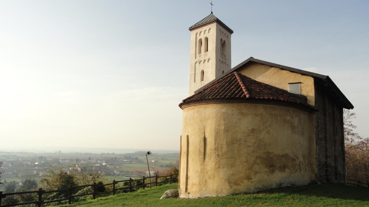
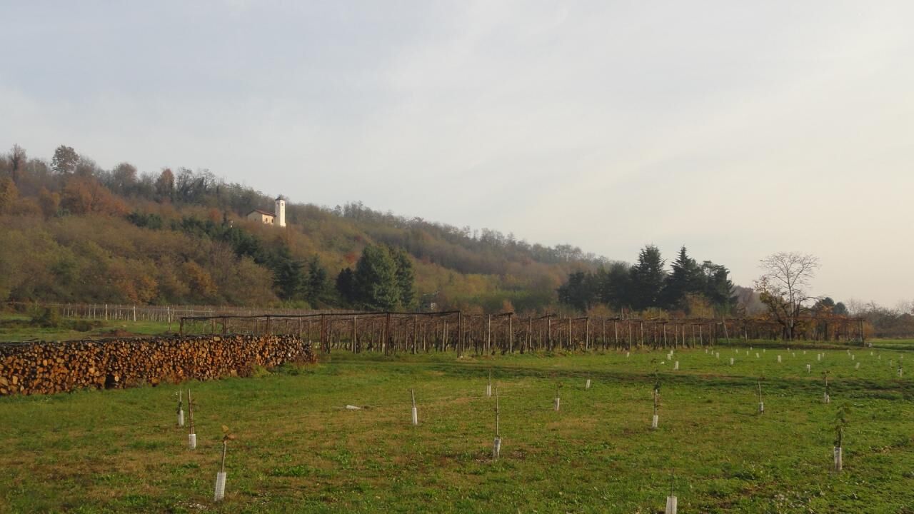
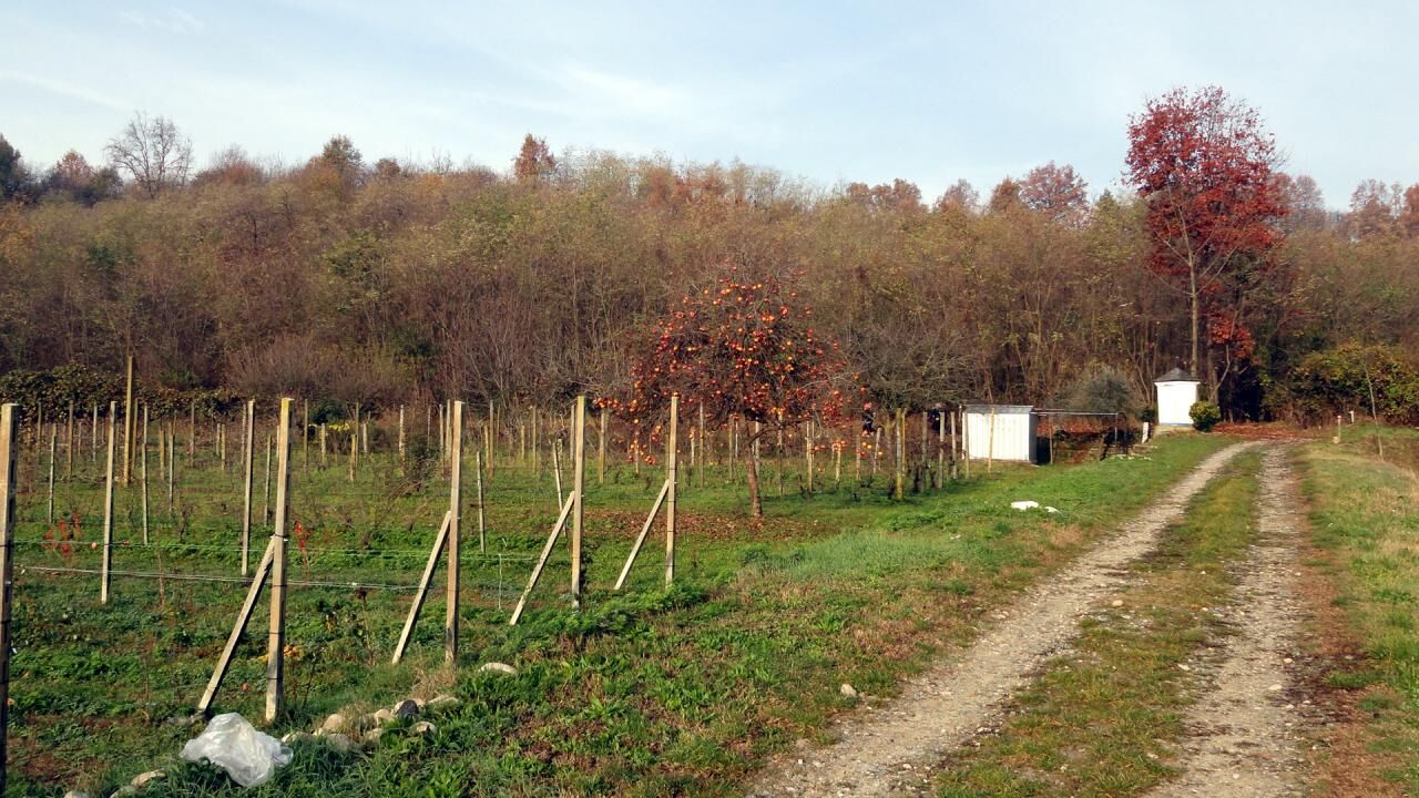

The Stage is a ring that begins in the center of the village of Villareggia, at Piazza Vallero (altitude 270 m) where it is possible to park the car comfortably and fill up on water from the fountain there. Proceed in a north-south direction along an initial asphalted section connecting the center of Villareggia and the hiking trail, taking via Maestra via Rondissone. Heading south, you move along a stretch of provincial road with little traffic until you enter, after 650m, the layout of the stacked route (TOP112) at a fork. Here, take Strada dell'Amorosa on the left, still paved but absolutely quiet and not at all busy, and continue southwards for another 800 m where, turning left, you leave the asphalt to take a wide dirt road that winds through the fields cultivated. At this point, proceed east along the wide and comfortable cart track which, after about 1 km, reaches the hamlet of San Pietro (250 m above sea level), an administrative island of the Municipality of Cigliano set between the territory of Moncrivello and Villareggia. Just beyond the farmhouses of San Pietro, the itinerary bends northwards heading straight for the Sanctuary of the Madonna del Trompone which you reach, after passing an abandoned farmhouse, after a further 900 m from the houses of San Pietro (altitude 260 m). The structure, now largely re-converted into an elegant nursing home, maintains very strong religious roots: the Trompone complex has developed over the centuries around the sanctuary of the same name built in the place where it is said that in 1562 the Blessed Virgin Mary appeared above a “trumpa” or “trompone” (tree trunk) to Domenica Millianotto, a hunchbacked, stammering and epileptic woman, curing her of her infirmities. Leaving the imposing Sanctuary behind, continue on a short stretch of paved road until you cross the SP 595 at the recently built roundabout to continue along a small sloping road that leads to the hamlet of Cascina Sivalli or Scivalli (279 m above sea level) in the Municipality of Moncrivello. The Path goes around the group of houses from the right and continues slightly uphill always on a wide dirt track gradually approaching a densely wooded hill, up to a crossroads where you turn left. From here the track narrows slightly and the direction becomes east-west: the via dell'itinerario is positioned along the foot of the nearby wooded hill and continues without major changes in slope in the direction of Villareggia, skirting a canal for a stretch of a few hundred meters land irrigation. After passing the town of Villareggia to the north, you reach a farmhouse with an adjoining agricultural shed called "Cascinetta". The Path bends slightly to the right along a very short stretch of paved road and then turns 90° to the right onto a slightly uphill road that points towards the hill. You pass some vineyards and leave a repeater on the right, after which the road becomes steeper and enters the bush after a beautiful panoramic stretch over the underlying village of Villareggia and the plain behind it, at an altitude of 332 m asl, you reach the small church of San Martino di Ulliacco, a building dating back to the 12th century characterized by a single nave with a semicircular apse facing east and a beautiful Romanesque bell tower. From the clearing around the church you can enjoy a wide and wonderful panorama of Villareggia. After passing the apse of the church, take the less obvious track on the right and continue descending a narrow and gradually steeper path which after about 190 m it enters a mule track which goes back up towards the top of the hill and which leads to the road linking the town of Moncrivello and the Sanctuary of Miralta coinciding with the Alta Via Morenica (AV) itinerary in its main track. Taking the wide cart track you are at an altitude of 330 m asl: from here you have the possibility, turning left to continue on the main track to close the itinerary by turning right, to go to the characteristic village of Moncrivello, which can be reached by following this road for just over 1 km. In Moncrivello it is possible to stop to stock up on food and water or even to enjoy, more calmly, the beauties of the town by staying overnight here. From Moncrivello, going backwards and slightly uphill on the cart track to Miralta, which coincides with the main route of the AV, you return after just over 1 km to the track of this Stage of the Itinerary. From its entry onto the cart track connecting with Miralta, the SPB Itinerary coincides for a stretch of several km with the AV Itinerary (in its main track). Going up to an altitude of 343 m above sea level, after having enjoyed some beautiful panoramic points, you reach the splendid Sanctuary dedicated to the Madonna di Miralta with its Romanesque bell tower which ends with a trifora followed by
Áno
In the Municipality of Villareggia the extra-urban line n. 345 of ATAP in the Municipality of Moncrivello is the extra-urban line n. 348 of ATAP.
ATAP SpA website link: www.atapspa.it
Obľúbené výlety v okolí
-
3,0
Via Francigena Etappe 5
strednáTuristika 36,7 km -
CANDIA Lake Candia MTB loop
svetloMountainbike 10,8 km -
Erratic boulders trail of Vialfré
svetloTuristika 7,15 km -
IVREA Ivrea - Viverone Route
strednáDiaľková cyklotrasa 52,4 km -
Ring of the Ancient Balteo Glacier - stage 4
strednáDiaľková cyklotrasa 51,0 km -
Ancient Balteo Glacier Ring - stage 1
strednáDiaľková cyklotrasa 49,0 km -
MAZZE' Anello Mazzè - Strambino
strednáDiaľková cyklotrasa 41,3 km -
CORIO Runde Oberes Canavese Westmoräne
strednáCyklistika 76,4 km -
MAZZE' Lake Candia and Masino Castle Loop
strednáCyklistika 44,8 km -
CALUSO Lake Candia Loop Morena West
strednáCyklistika 31,0 km

Turistika a stopovanie


Nenechajte si ujsť ponuky a inšpiráciu na ďalšiu dovolenku
Vaša e-mailová adresa bol pridaný do poštového zoznamu.





