






Orco Valley ring - stage 2

Úroveň náročnosti: 3
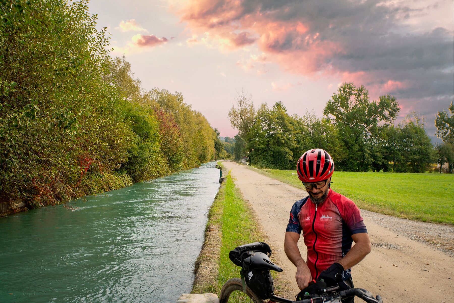
This route, which consists of 90% paved roads and the remaining 10% beaten dirt tracks, embraces the Western Moraine, part of the morainic amphitheatre of Ivrea, a unique geological formation and one of...
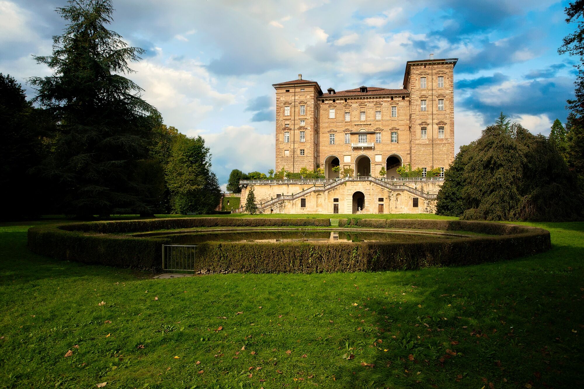
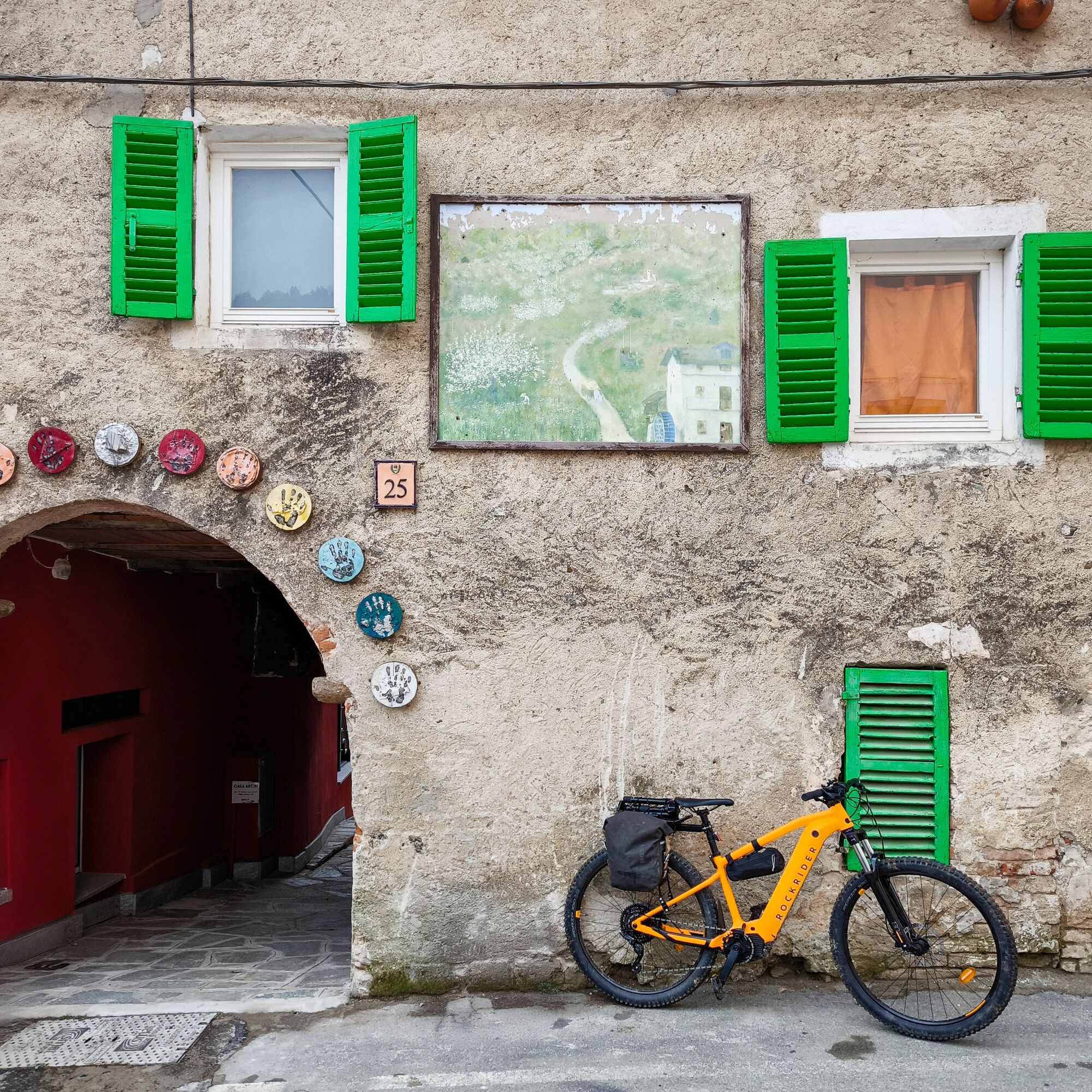
This route, which consists of 90% paved roads and the remaining 10% beaten dirt tracks, embraces the Western Moraine, part of the morainic amphitheatre of Ivrea, a unique geological formation and one of the largest morainic formations in Europe, originating from the retreat of Alpine glaciers during the Pleistocene glaciations. The area hosts historic villages and important castles, among them the castle of Agliè, part of the UNESCO heritage, and that of Masino, owned by the FAI Italian Environment Fund. The town of Castellamonte is renowned worldwide for its ceramic tradition dating back to the Middle Ages, especially famous for the production of ceramic stoves that are true works of art. The stage ends between the municipalities of Vistrorio and Issiglio, among the first encountered in Valchiusella, places with a strong connection to local traditions and a peaceful quality of life.


HELMET: Although not mandatory, we strongly recommend the use of a helmet
TIRES: Check that the wheels are properly inflated; the importance of tire pressure is often underestimated as it increases safety and makes pedaling smoother
LIGHTS: If you plan to ride at dusk or at night, make sure to have front and rear lights, as well as reflectors.
CLOTHING: Bright or reflective clothing is recommended to be more visible to other vehicles.
EMERGENCY EQUIPMENT: Bring a spare inner tube, a pump (or a CO2 cartridge), and tire levers to remove the tire. A small set of tools can be useful.
TRAFFIC RULES: Follow road signs, always pedal on the right edge of the lane, and signal your intentions to other road users.
WEATHER: Check the weather forecast before leaving to avoid adverse weather conditions. In summer months, sunscreen is advisable to protect against UV rays.
Candia is reachable by car via the A5/E612 towards SP53 with an exit at San Giorgio Canavese. Alternatively, via SP53, Provincial Road 53 and State Road 26 of the Aosta Valley towards Piazza VII Martiri in Candia Canavese.
Candia Canavese is reachable by train from Porta Nuova with a change at Chivasso. The website is www.trenitalia.com
3
Noteworthy in Vidracco is the presence of the Damanhur community, internationally known for its innovative vision of communal living and for the creation of its extraordinary Temples of Humanity, an underground complex that represents one of the main points of interest of the community.
Obľúbené výlety v okolí
-
BALDISSERO CANAVESE The Monti Pelati nature reserve
strednáTuristika 7,19 km -
4,0
VALPERGA Sacro Monte di Belmonte Loop
strednáTuristika 10,3 km -
COLLERETTO CASTELNUOVO Pian del Lupo - Quinseina di Santa Elisabetta
ťažkéTuristika 6,27 km -
RUEGLIO Cima Bossola from the Cima Bossola refuge
strednáTuristika 3,79 km -
VALCHIUSELLA Lakes of Alice Superiore and Meugliano
svetloTuristika 7,99 km -
MONTALTO DORA Terre Ballerine - In search of Lake Coniglio
svetloTuristika 5,35 km -
CANDIA Lake Candia MTB loop
svetloMountainbike 10,8 km -
BROSSO Monte Cavallaria
strednáTuristika 8,76 km -
Loop on the Basilisk Path
strednáTuristika 10,4 km -
TORRE CANAVESE Nature Route
svetloTuristika 6,71 km
Turistika a stopovanie


Nenechajte si ujsť ponuky a inšpiráciu na ďalšiu dovolenku
Vaša e-mailová adresa bol pridaný do poštového zoznamu.





