


Street of the Market Domodossola - Locarno
Fotografie našich používateľov
-
 © Margherita PoliniVytvorené dňa 02.04.2026
 -
 © Margherita PoliniVytvorené dňa 17.03.2026
 -
 © Margherita PoliniVytvorené dňa 17.03.2026
 -
 © David AmreinVytvorené dňa 17.02.2026
 -
 © David AmreinVytvorené dňa 17.02.2026
 -

 © mtmcVytvorené dňa 31.12.2025
 -
 © MoonhawkVytvorené dňa 23.12.2025
 -
 © alinraduVytvorené dňa 01.06.2025
 -
 © alinraduVytvorené dňa 01.06.2025
 -
 © alinraduVytvorené dňa 01.06.2025
 -
 © alinraduVytvorené dňa 01.06.2025
 -
 © alinraduVytvorené dňa 01.06.2025
 -
 © alinraduVytvorené dňa 31.05.2025
 -
 © alinraduVytvorené dňa 31.05.2025
 -
 © alinraduVytvorené dňa 31.05.2025
 -
 © alinraduVytvorené dňa 31.05.2025
 -
 © alinraduVytvorené dňa 31.05.2025
 -
 © alinraduVytvorené dňa 31.05.2025
 -
 © alinraduVytvorené dňa 31.05.2025
 -
 © yolanda beckVytvorené dňa 31.03.2025
 -
 © yolanda beckVytvorené dňa 31.03.2025
 -
 © yolanda beckVytvorené dňa 31.03.2025
 -
 © yolanda beckVytvorené dňa 31.03.2025
 -
 © Thomas WaldraffVytvorené dňa 11.09.2025
 -
 © Thomas WaldraffVytvorené dňa 11.09.2025
 -
 © peter_oeVytvorené dňa 02.12.2024
 -
 © peter_oeVytvorené dňa 18.11.2024
 -
 © peter_oeVytvorené dňa 18.11.2024
 -
 © peter_oeVytvorené dňa 18.11.2024
 -
 © peter_oeVytvorené dňa 18.11.2024
 -
 © peter_oeVytvorené dňa 18.11.2024
 -
 © peter_oeVytvorené dňa 18.11.2024
 -
 © peter_oeVytvorené dňa 18.11.2024
 -
 © peter_oeVytvorené dňa 18.11.2024
 -
 © peter_oeVytvorené dňa 18.11.2024


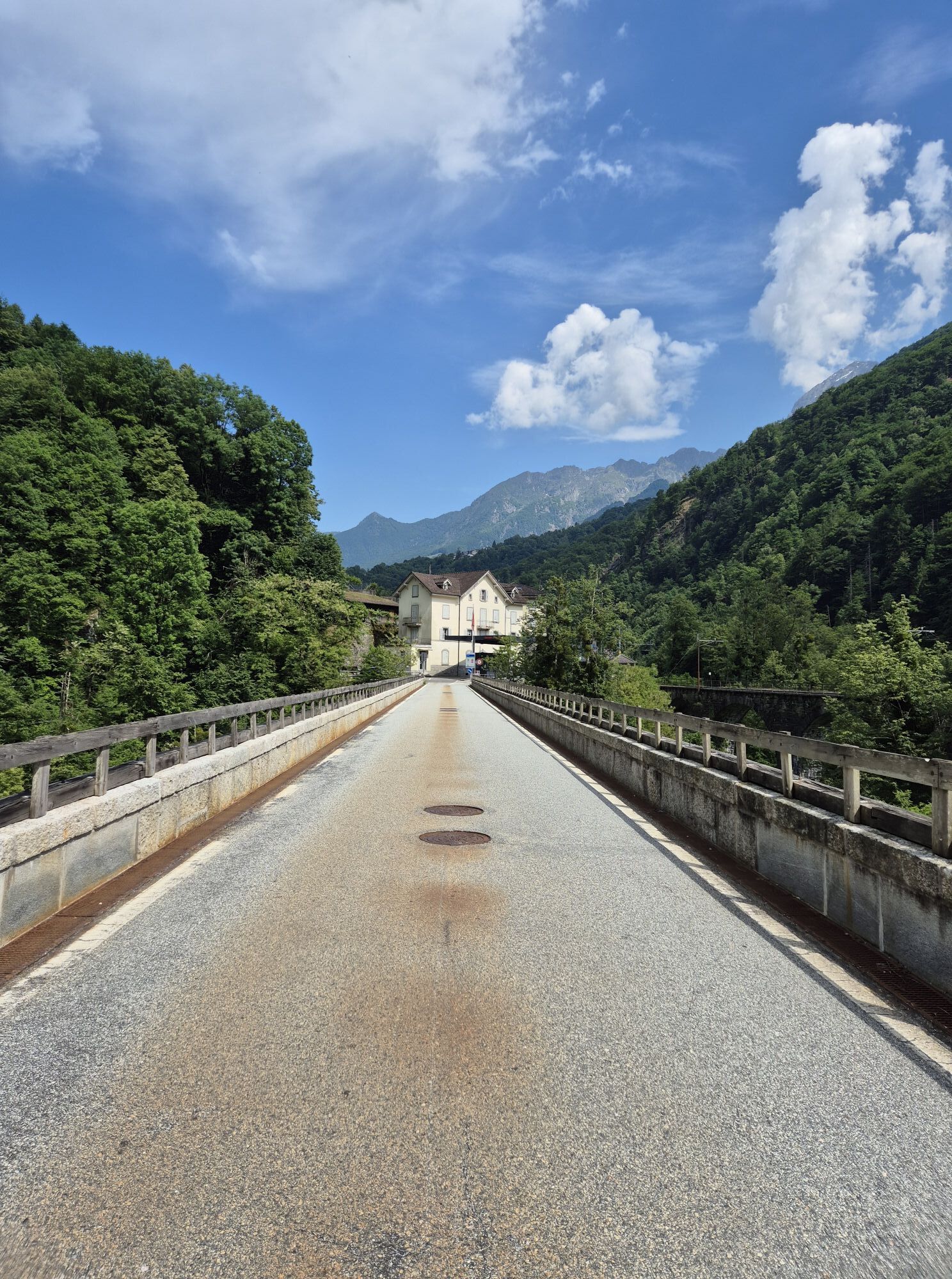
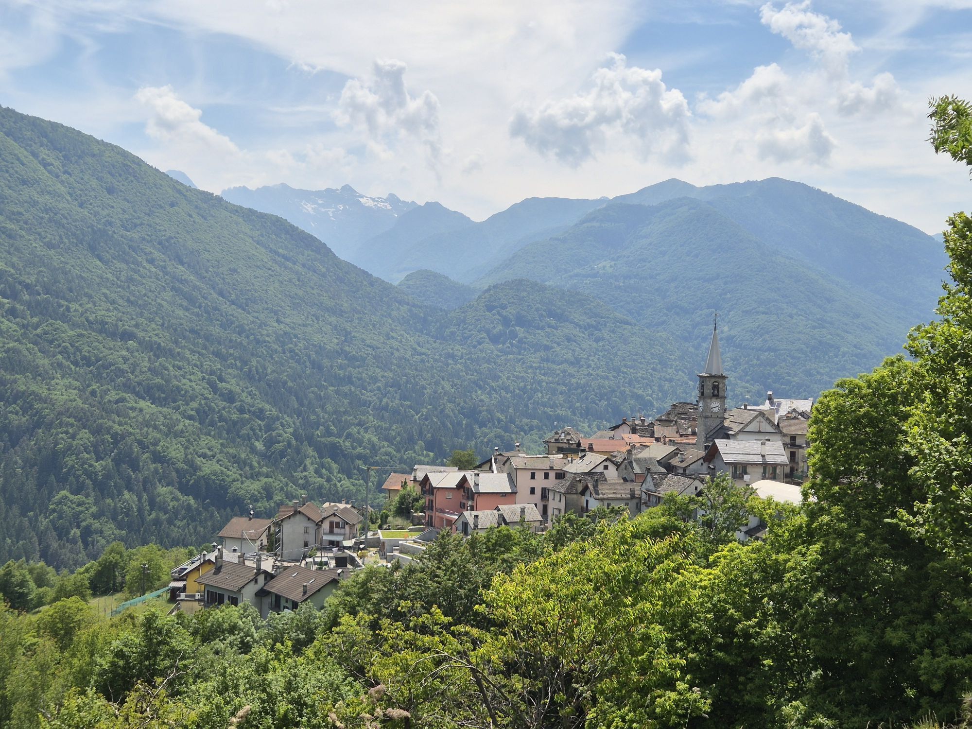

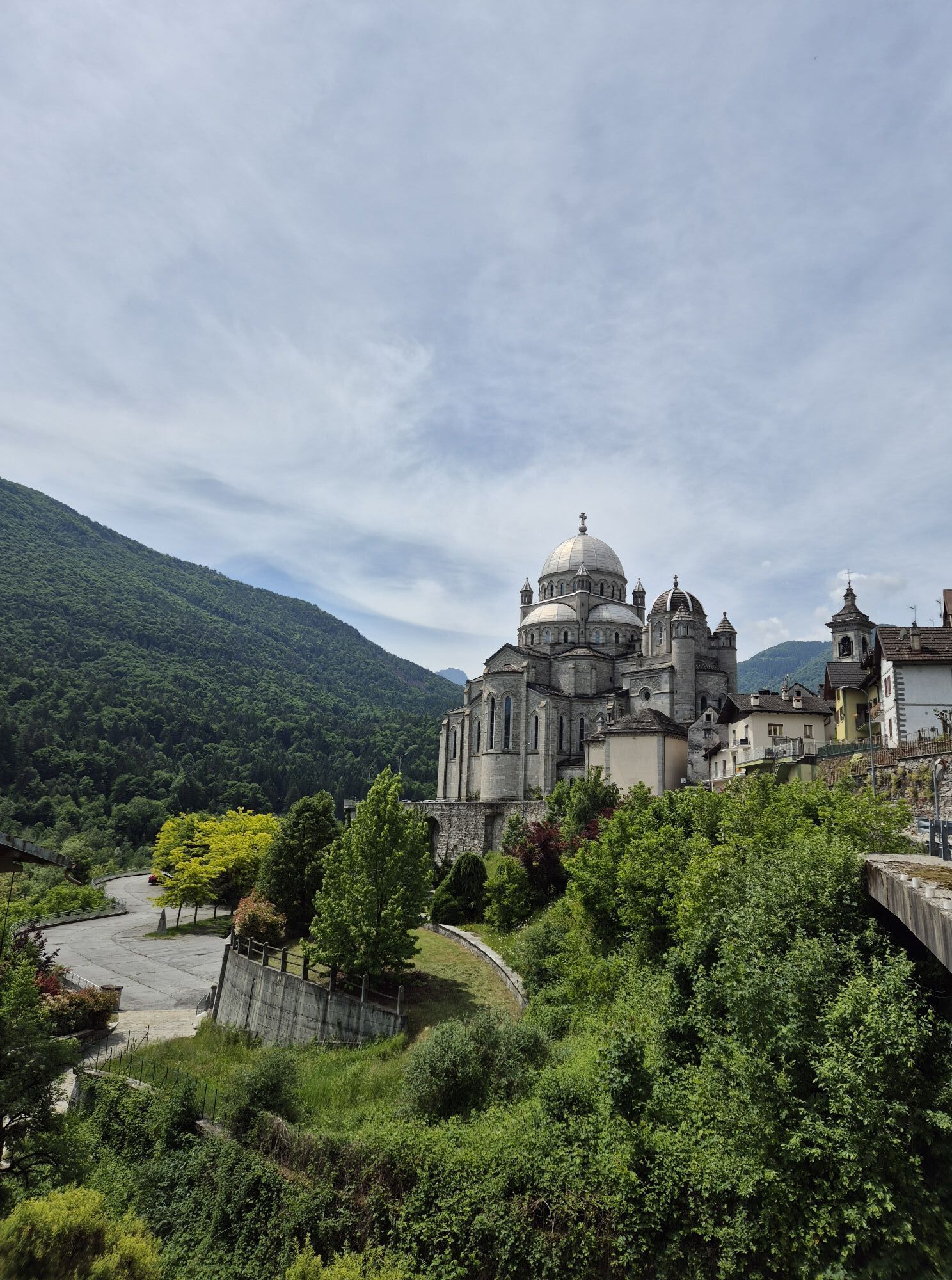
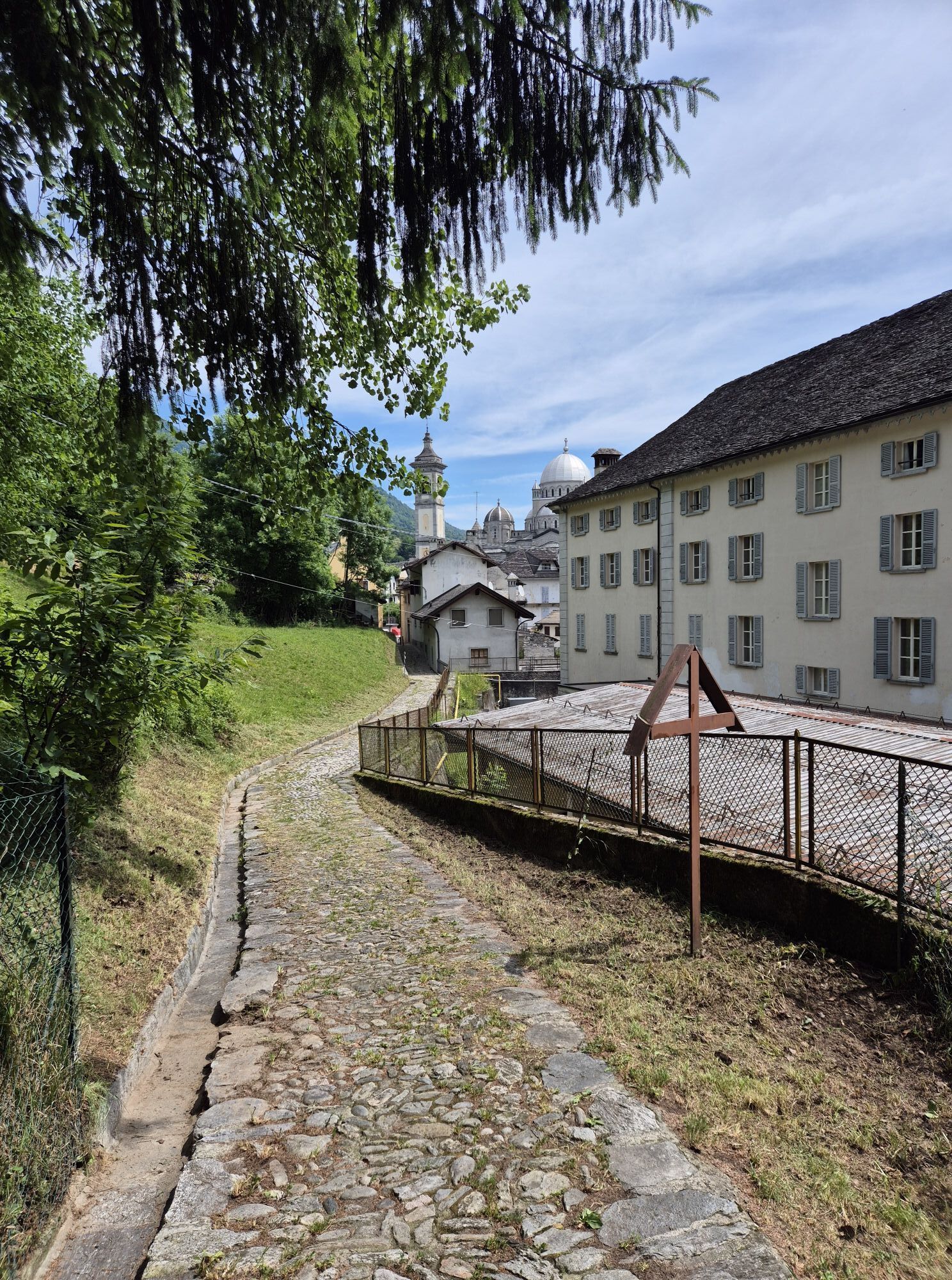
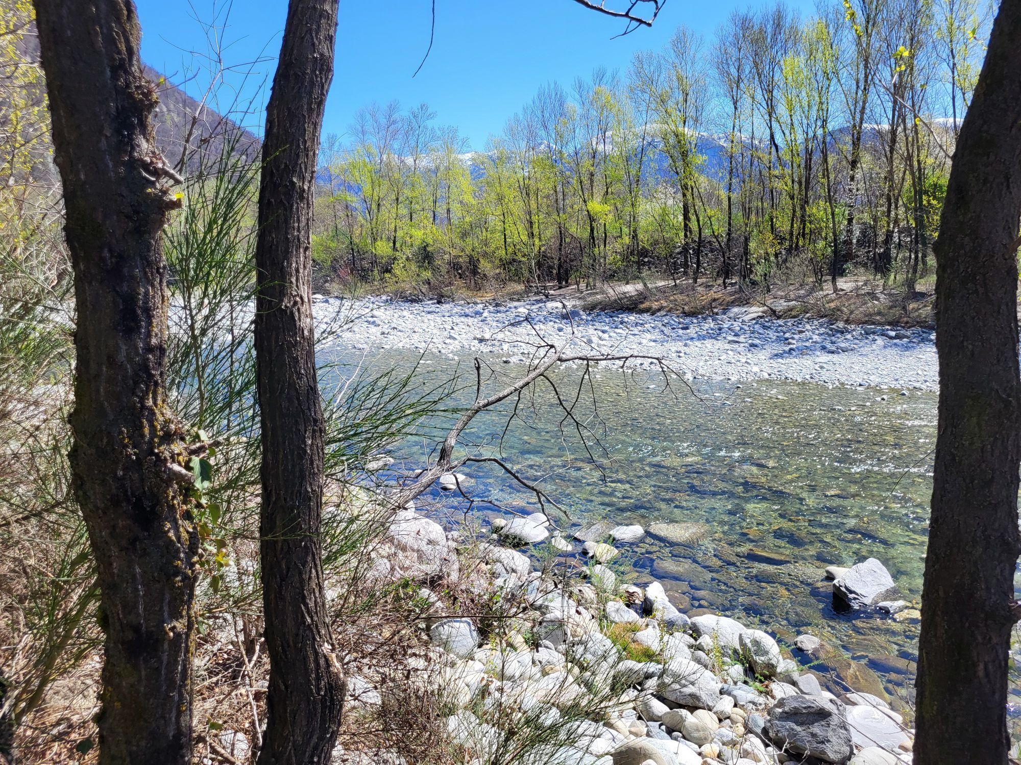
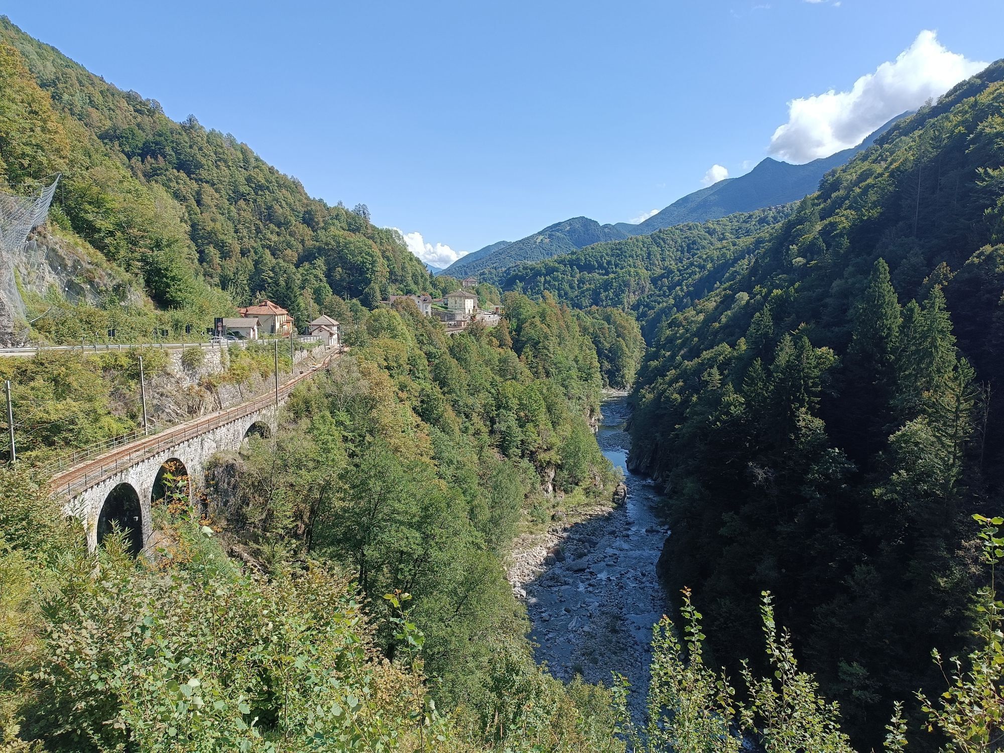

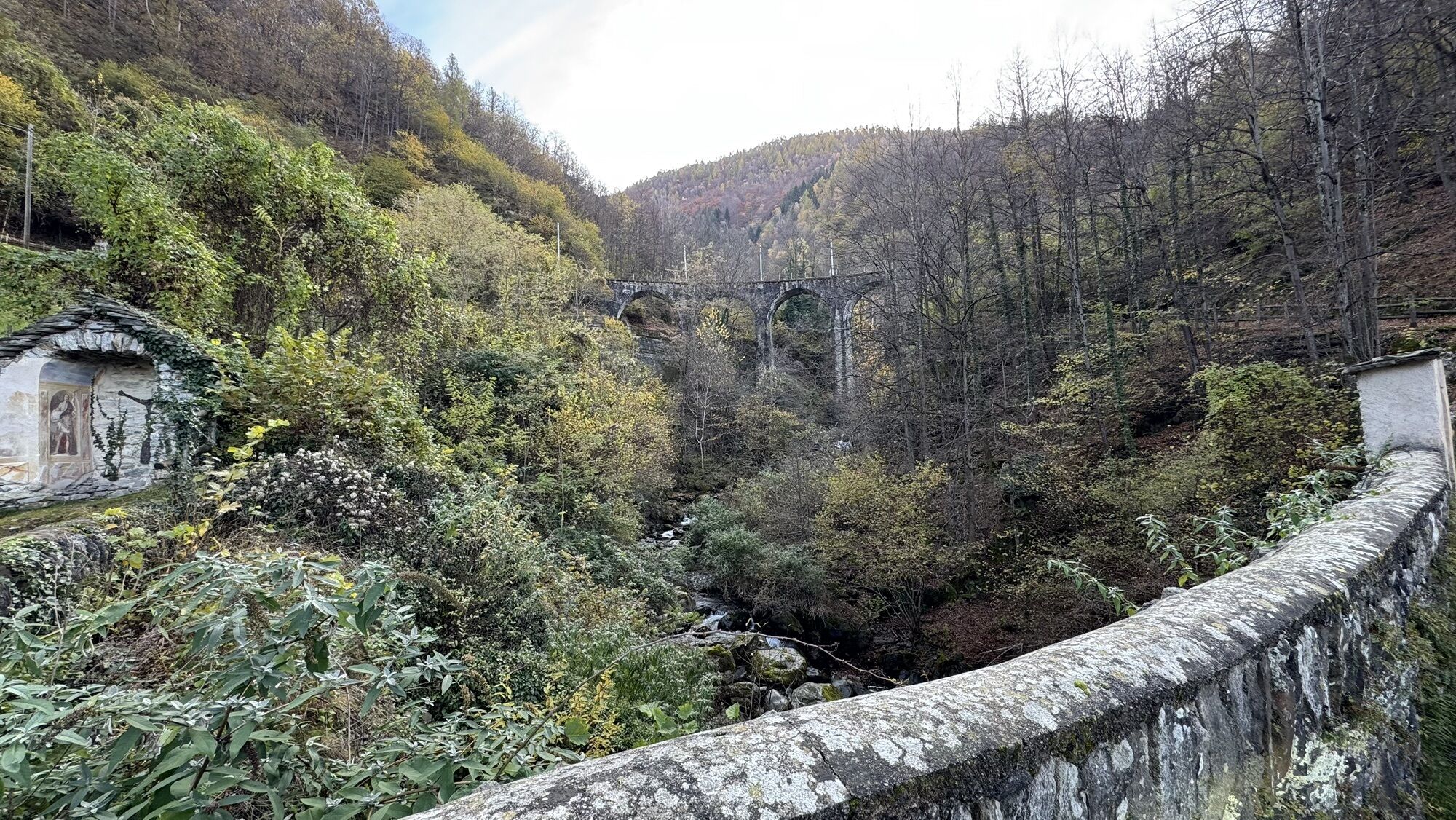
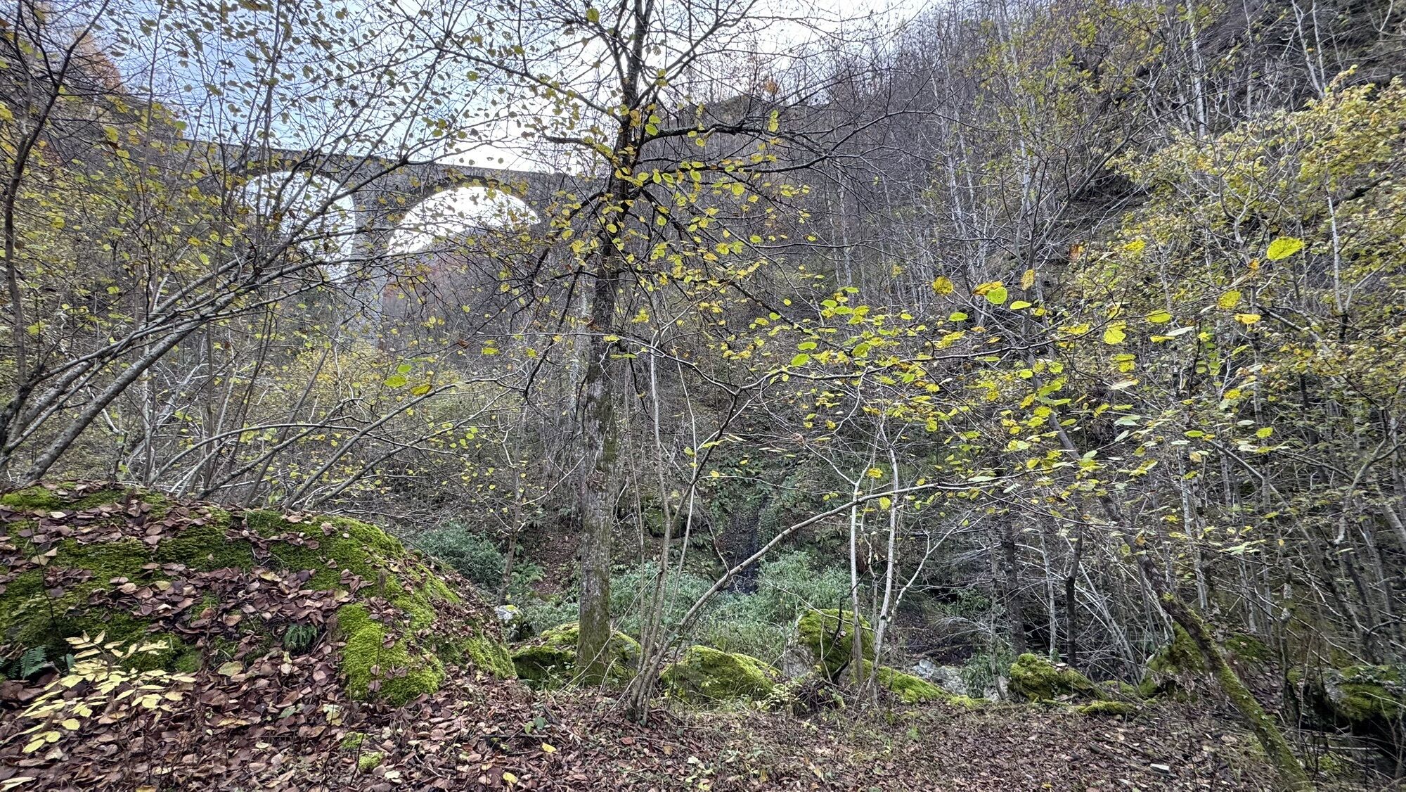
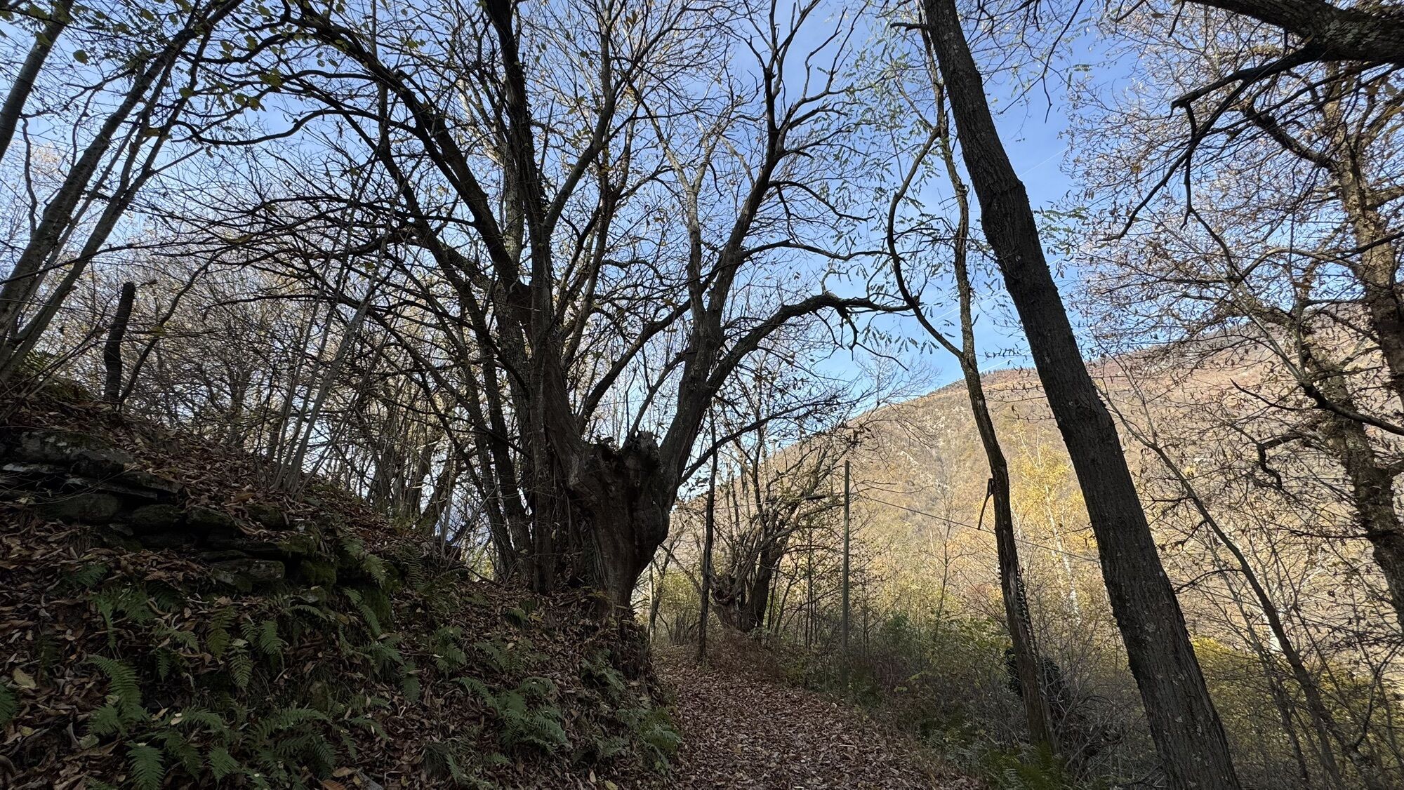

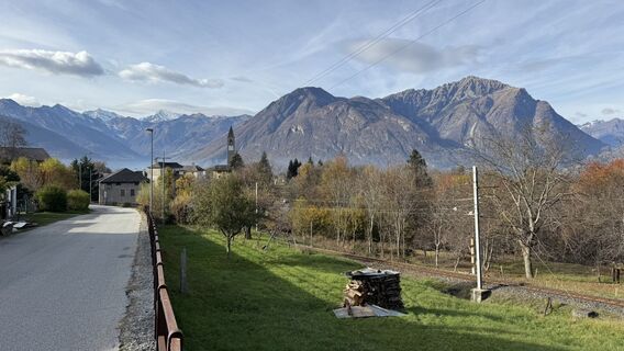
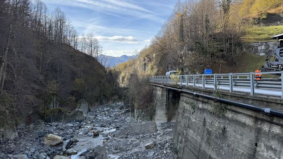
The Via del Mercato is a hiking route that connects Domodossola with Locarno through the Val Vigezzo and the Centovalli, along mule tracks used since ancient times to bring the products of the valleys...
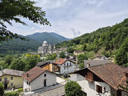
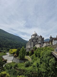
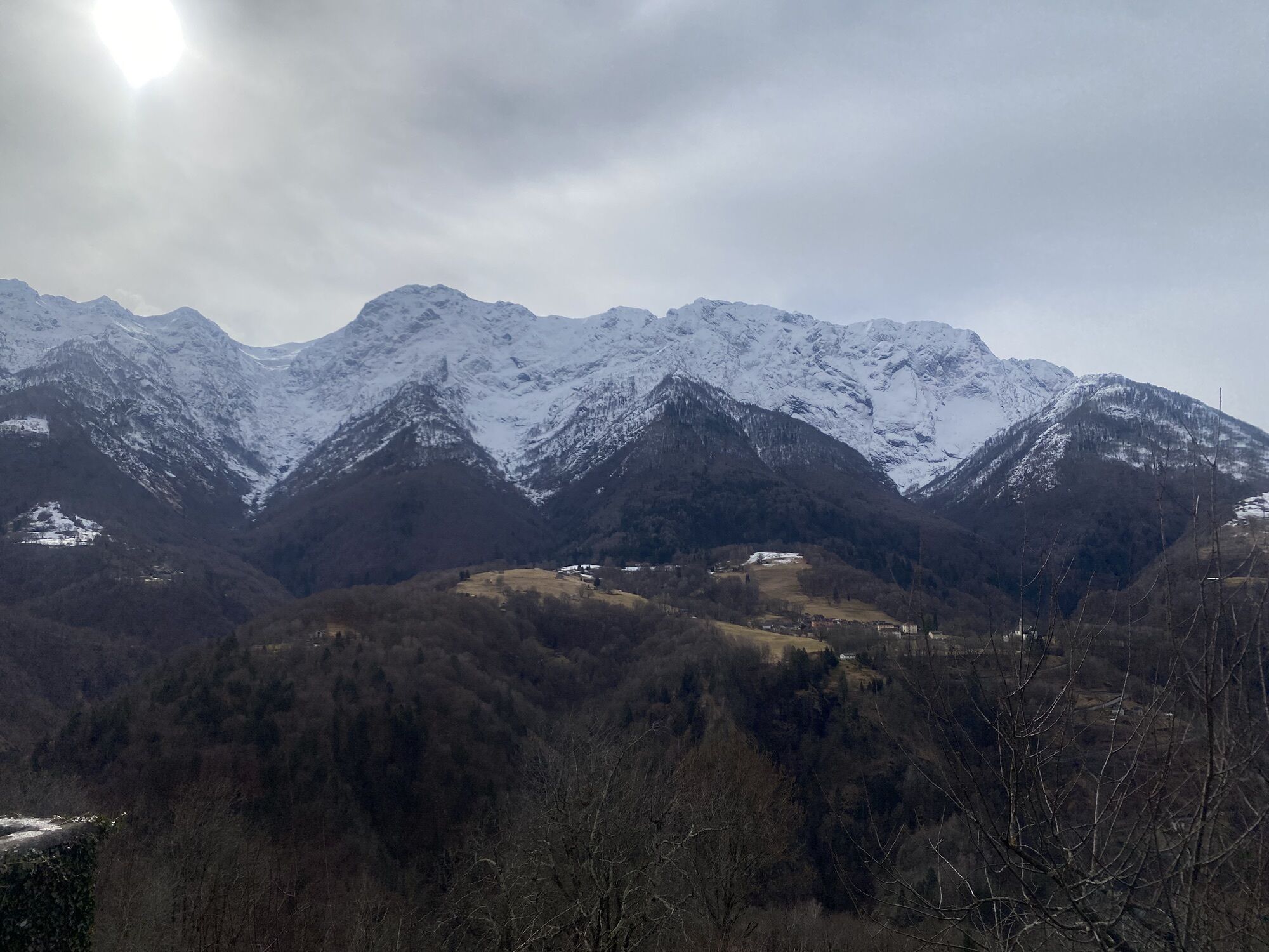
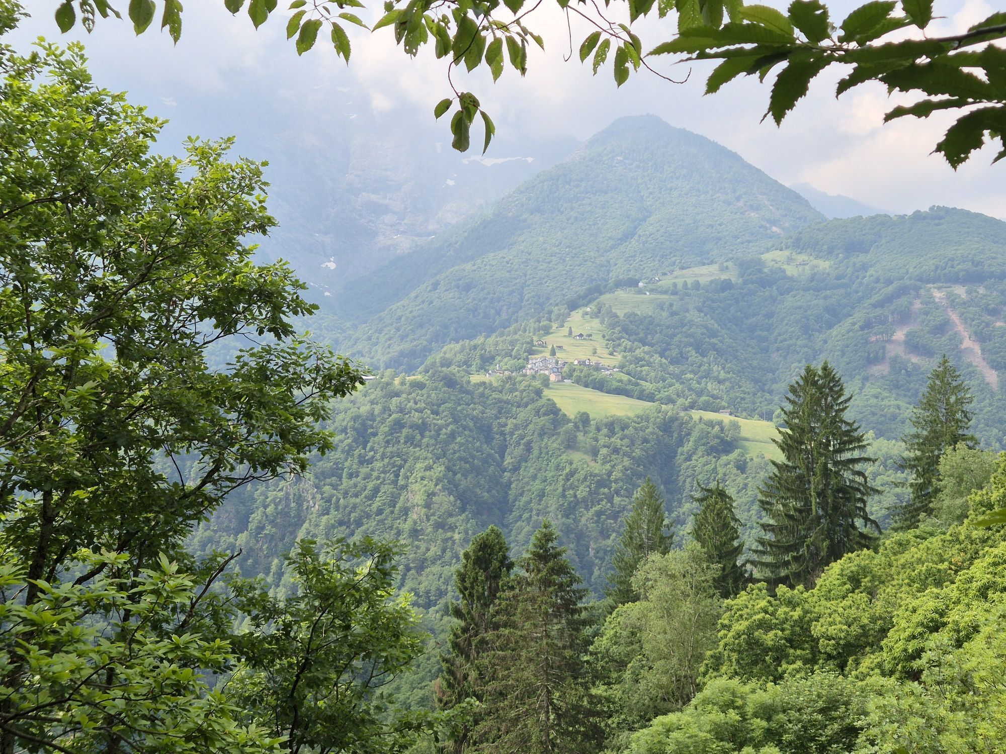
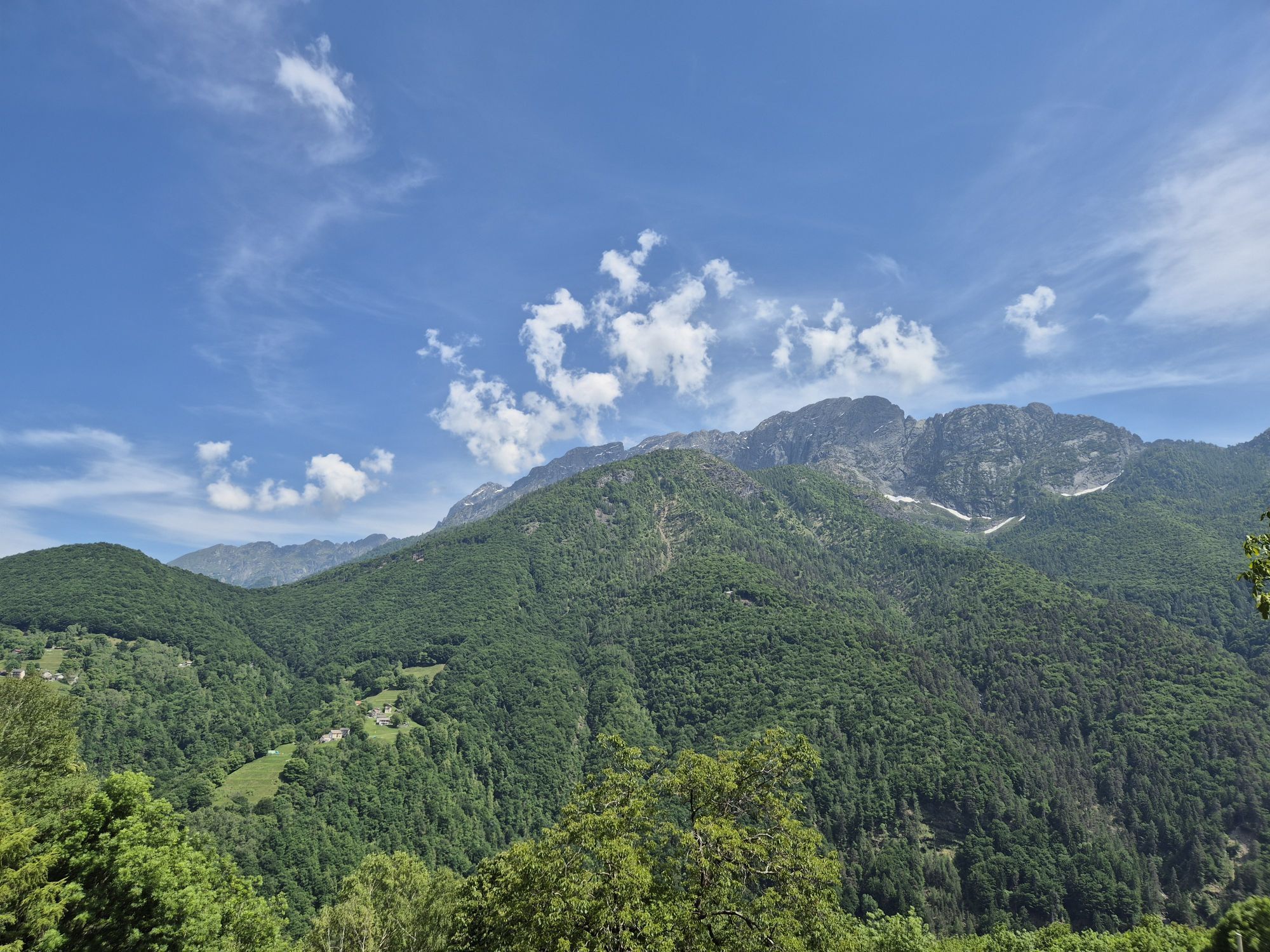
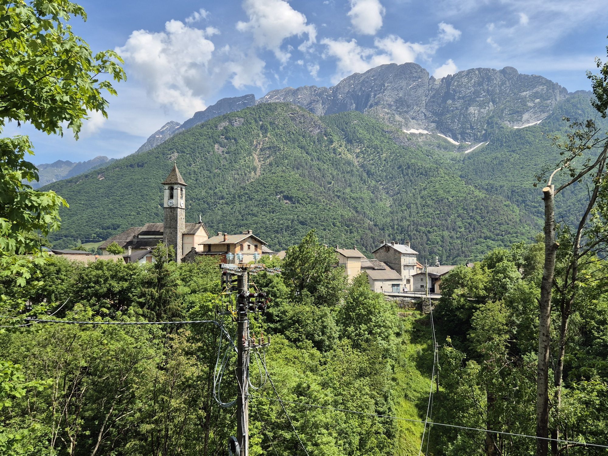
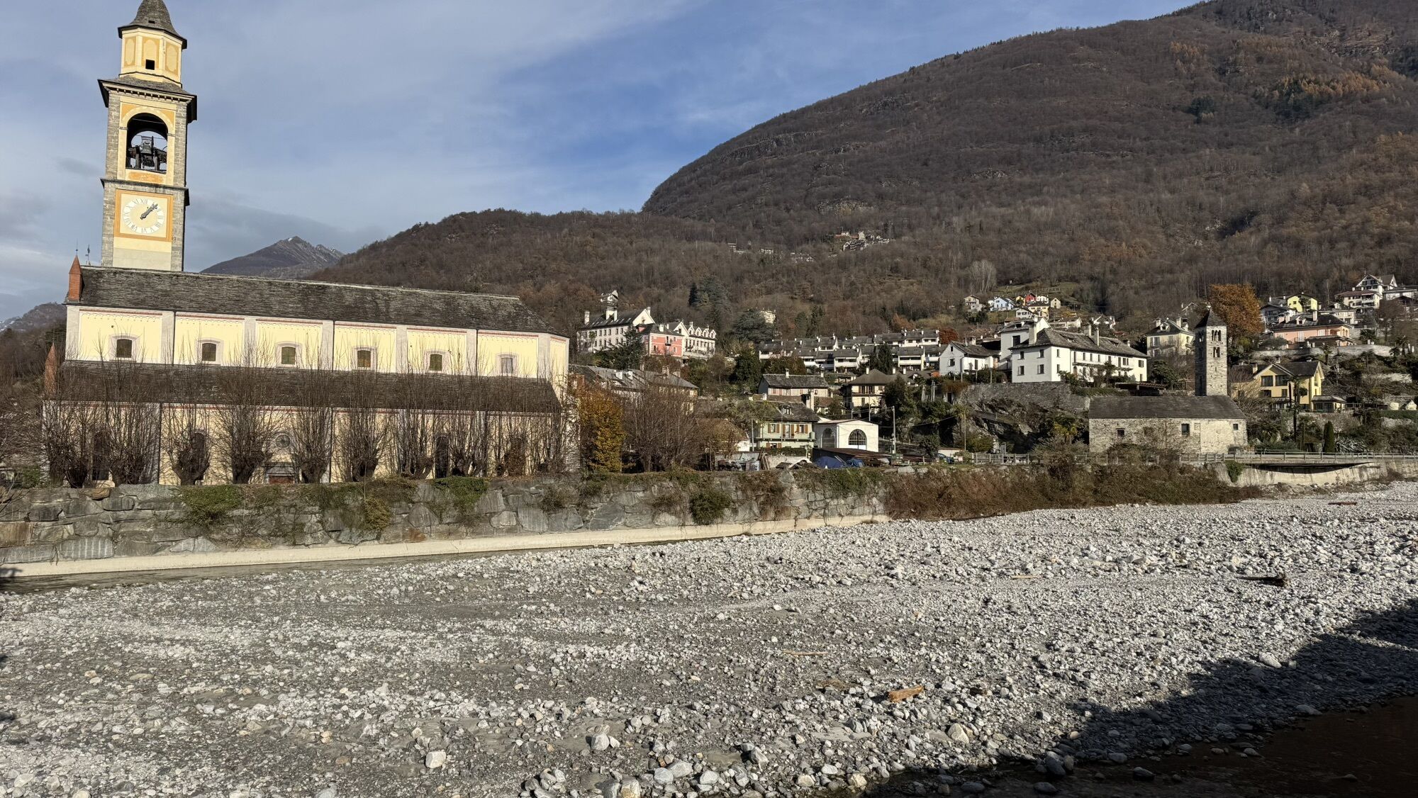
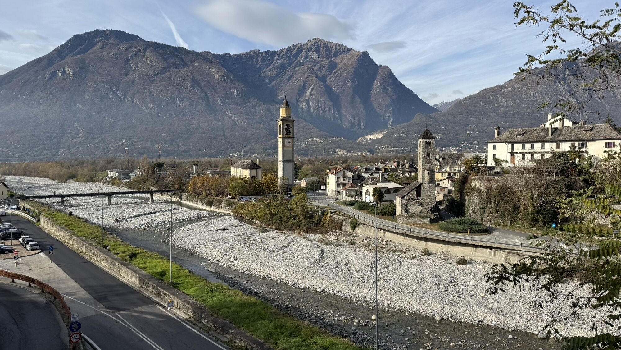
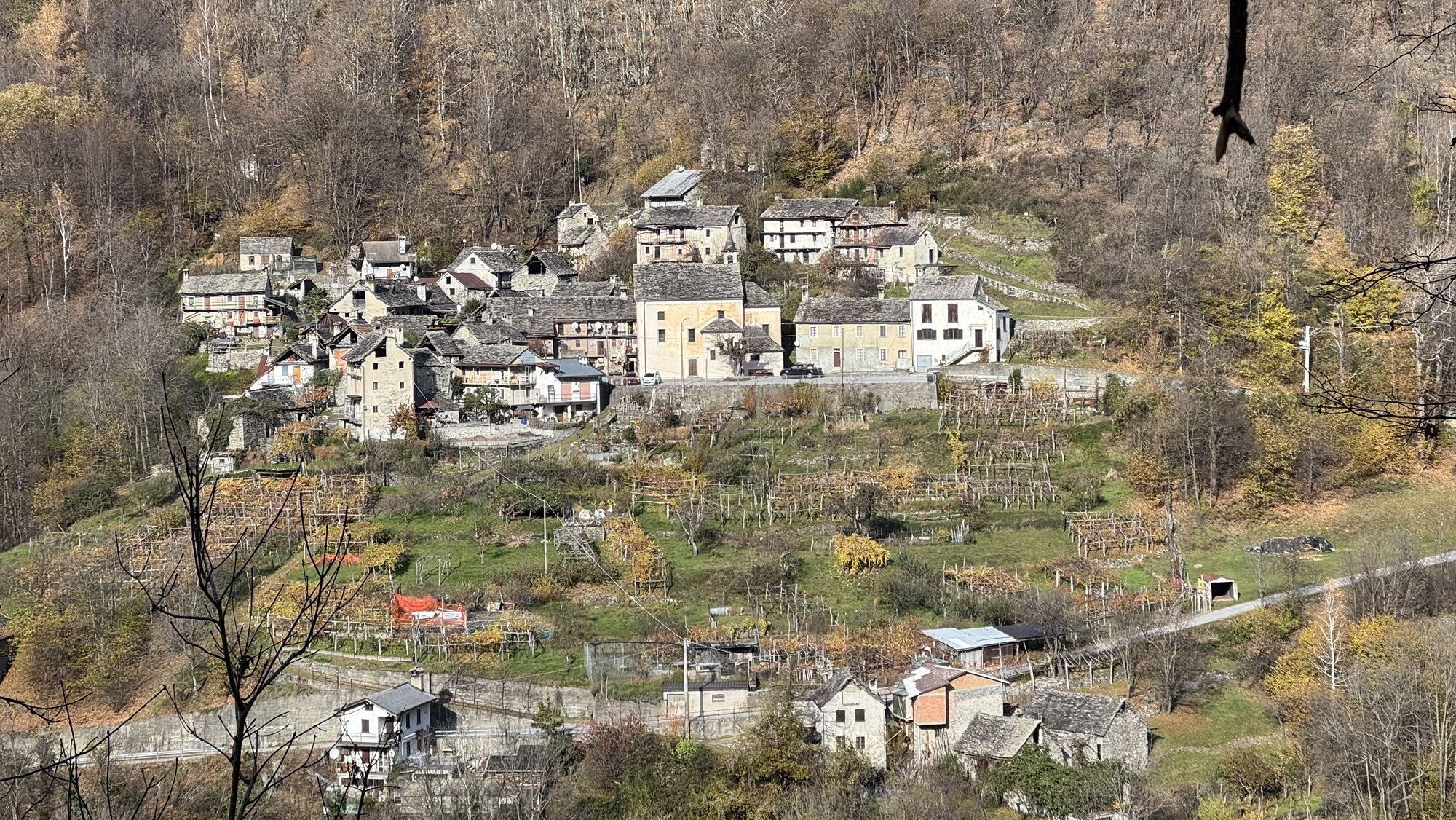
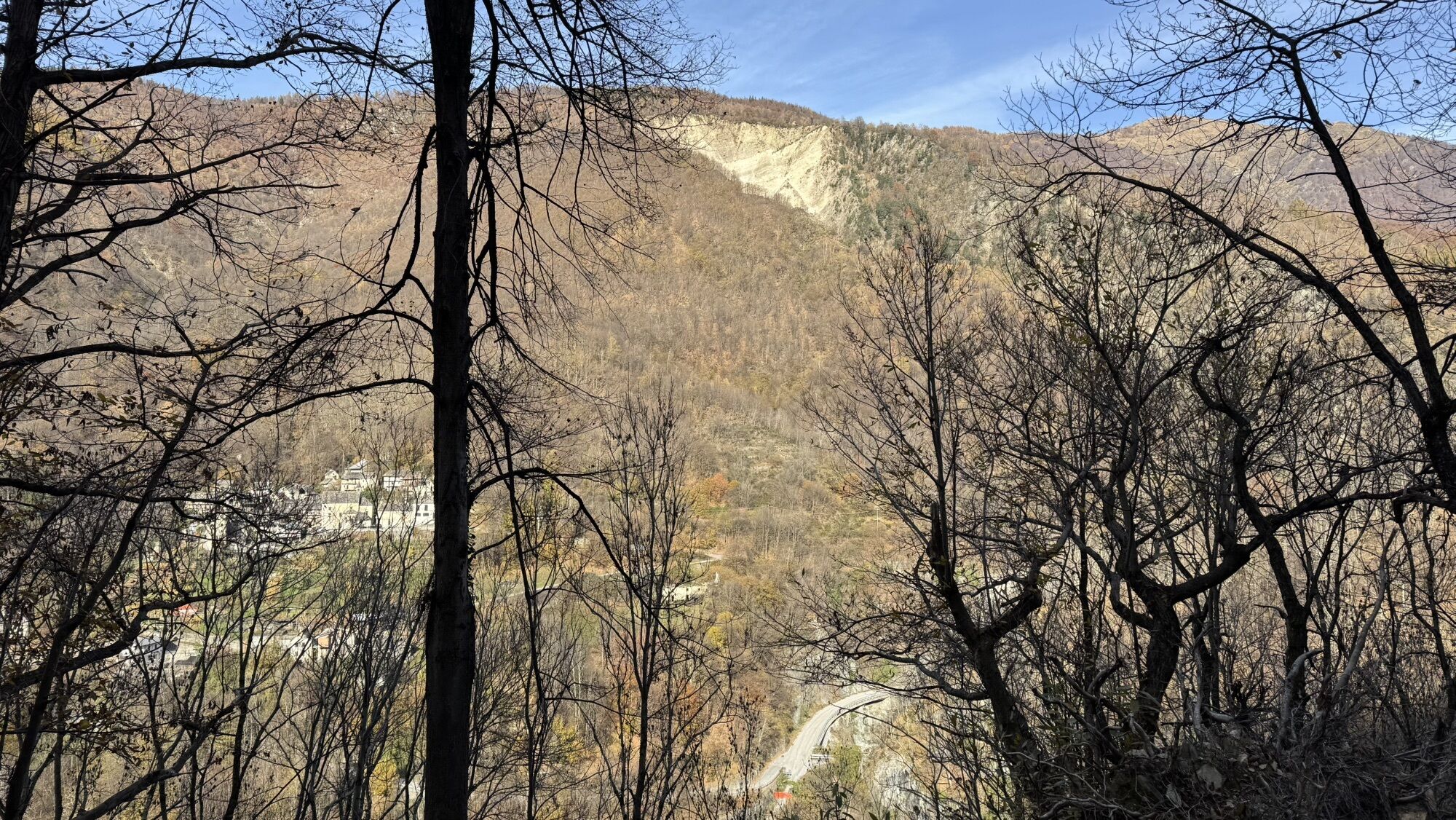
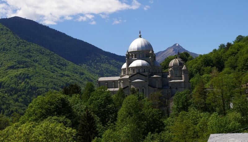
Val Vigezzo, unlike the other Ossola valleys, is a place where the rules of orography are reversed. Not a valley carved out by the course of a stream with villages located at different altitudes from the head to the mouth of the plain. Vigezzo seems to have no beginning or end: it boasts two opposing streams, one of which seems to flow uphill, it is flat and not very incised. Here not only is the orography unusual, but also the history and culture: it is a wealthy valley that lives on tourism and the work of cross-border workers, which has experienced emigration which over the centuries has produced curious inventions and returning prosperity, but also the tradition of chimney sweeps and an artistic history linked to important schools of painting. The restful environment and the polychromy of the deciduous woods make the landscape very sweet to the eye. Yet Val Vigezzo is an alpine environment, an open place but nestled between dark and wild valleys.
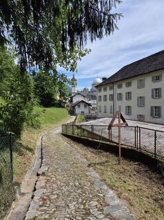
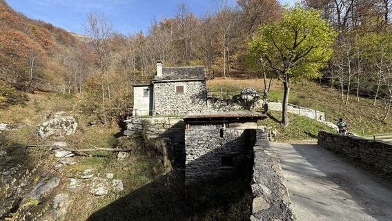
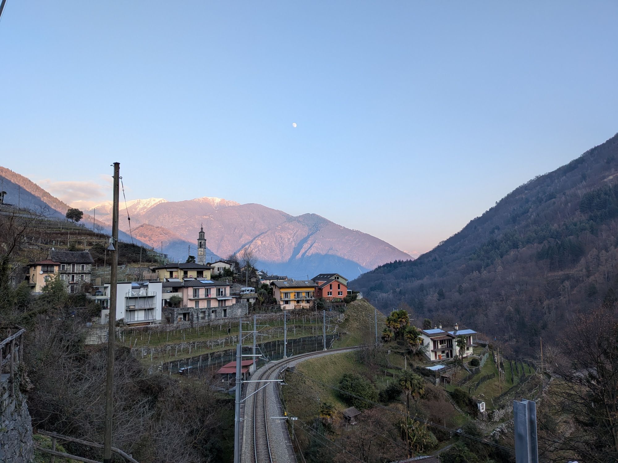
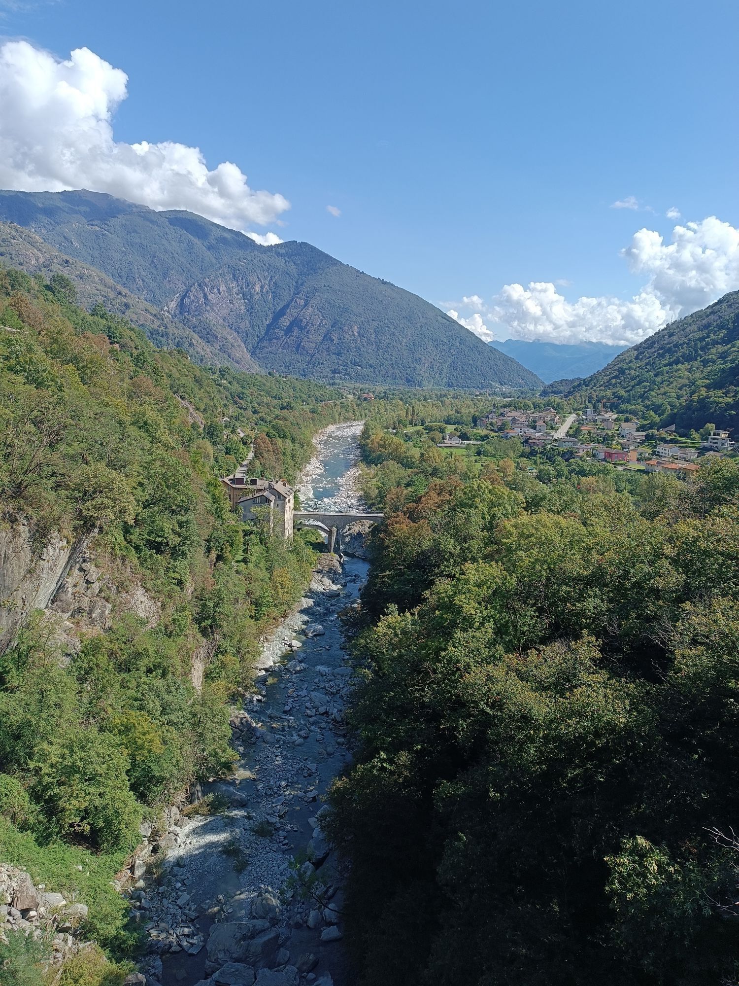
Over the last century, the valley has experienced a profound transformation of the socioeconomic system: the traditional agro-pastoral activity has undergone a strong reduction, carving out a small space as an integrative economy. There has been no industrial development so the "border" in nearby Switzerland and tourism constitute the primary voice of the Vigezzo economy. This made it possible to avoid the hemorrhaging of the population which in other valleys had a negative impact on the social fabric and the structure of the territory. One of the best ways to get to know and appreciate the historical contents and beauties of Val Vigezzo and the adjacent Centovalli is to retrace the ancient road that connected Domodossola with Locarno (CH), in use apparently since the Middle Ages by merchants and woodcutters, herdsmen and emigrants between Ticino and Italy.
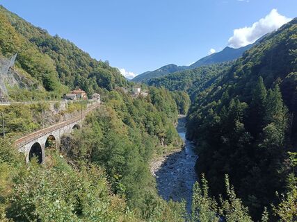
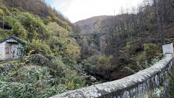
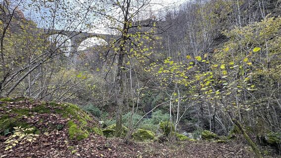
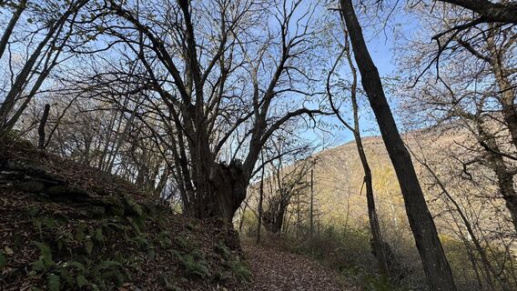
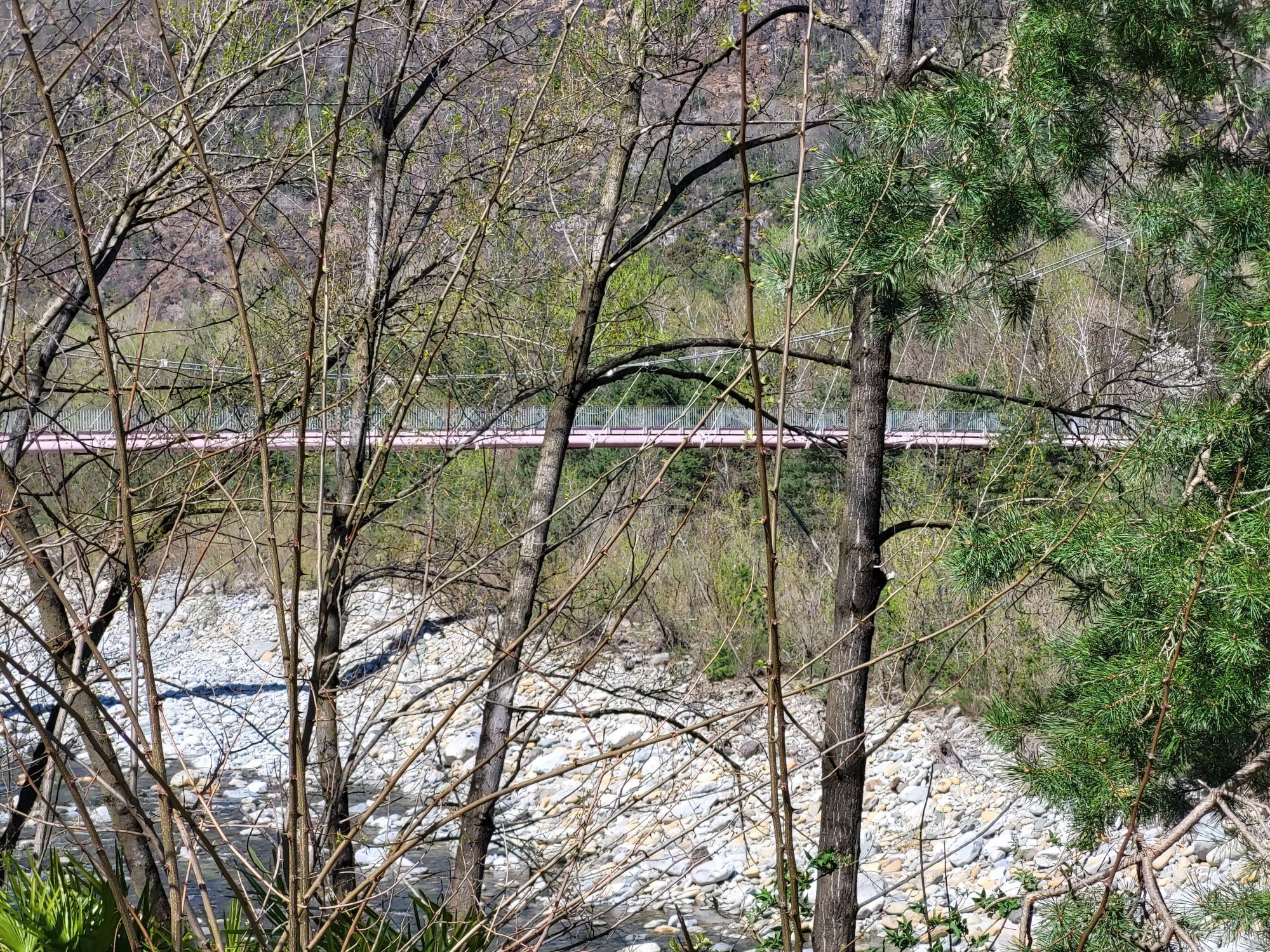
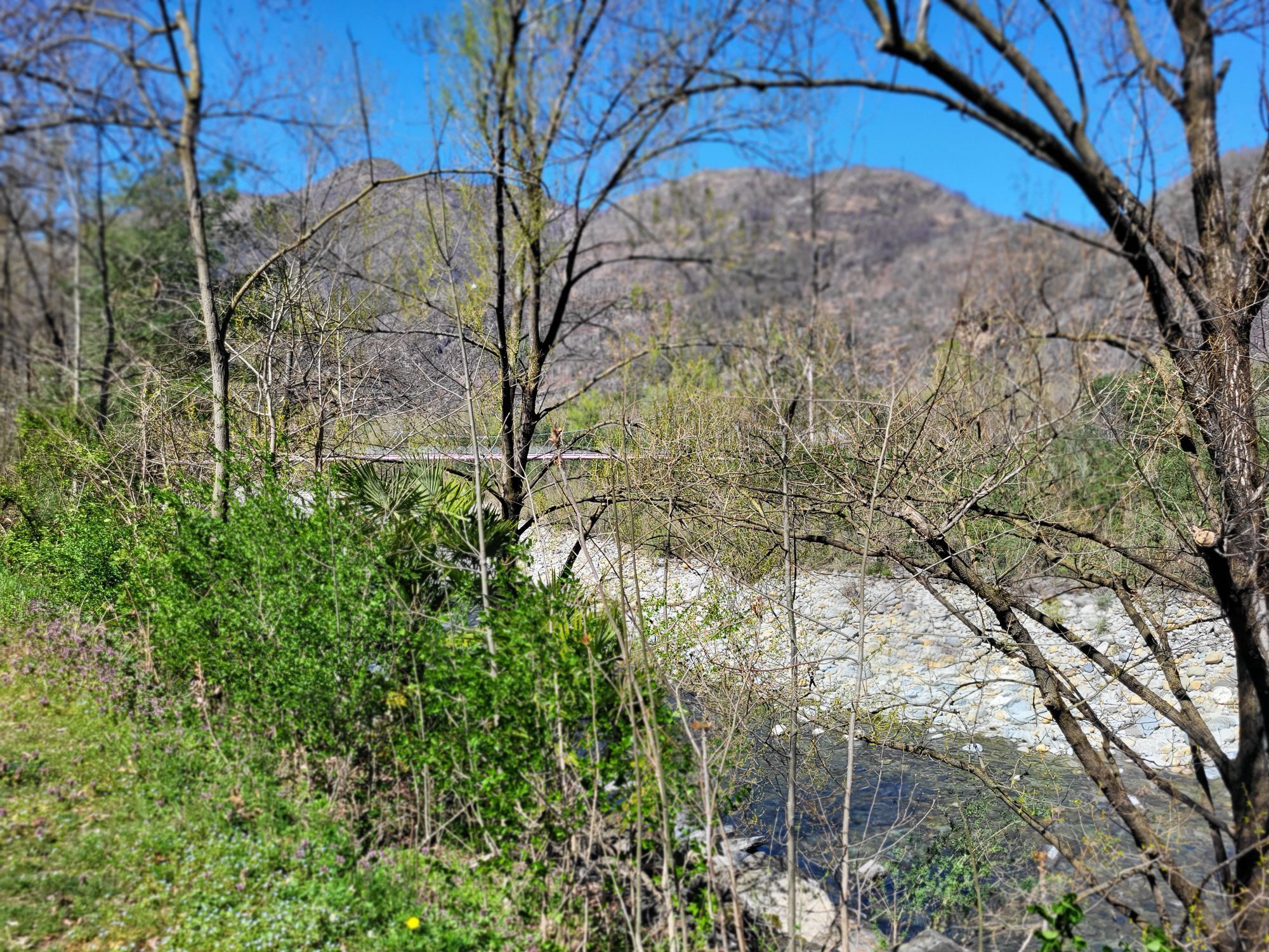
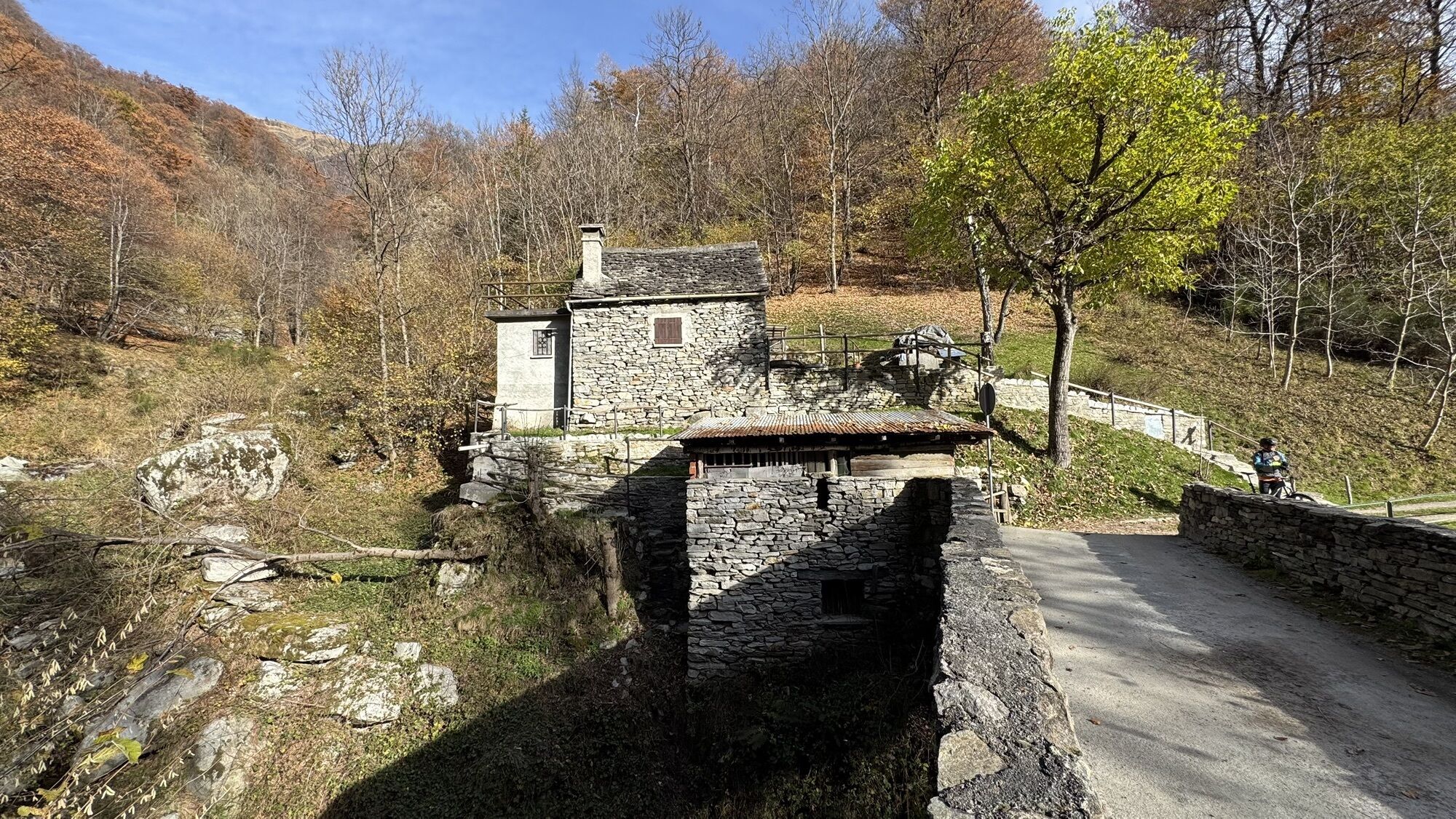
Today, part of the route has been lost, covered by the current road network, but some well-preserved sections of the ancient mule track are present in both Italy and Switzerland.

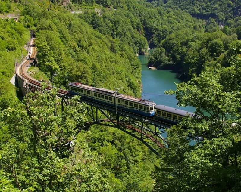
Percorrere questa via è facile anche grazie alla ferrovia panoramica Vigezzina, recentemente definita "la più bella ferrovia panoramica d'Italia", che collega Domodossola a Locarno.
Webové kamery z prehliadky
-
Cardada Endstation Luftseilbahn
-
Cimetta Bergstation
-
Cimetta Bergstation
-
Cimetta Bergstation
-
Ascona - Golf Club Patriziale Ascona
-
Cardada - Albergo Colmanicchio
-
Piana di Vigezzo
-
Piana die Vigezzo
-
Cimetta Endstation Sessellift
-
Ascona - Hotel Castello Seeschloss
-
Losone Golf Club Gerre
-
Gambarogno
-
Bellavista Hotel
-
Vira - Hotel Bellavista
-
Tenero Camping Campofelice
-
Hotel Casa Berno
-
Contra (Hotel San Bernardo)
Obľúbené výlety v okolí
-
3,8
Cannobio zu Sant’Aagata
svetloTuristika 5,85 km -
4,5
Sculpture Trail
svetloTematická trasa 2,49 km -
4,7
Tegna-Castelliere-Ponte Brolla-Tegna
strednáTuristika 4,63 km -
5,0
Spruga-Alpe Saléi-Comologno
strednáTuristika 8,96 km -
5,0
The energy places of Arcegno
svetloTematická trasa 3,60 km -
5,0
In the footsteps of Mr. Geiser
strednáTematická trasa 6,73 km -
5,0
Loco-Vosa-Intragna
strednáTuristika 5,96 km -
5,0
Himmel
strednáTuristika 12,7 km -
4,7
Arcegno-Losone-Arcegno
svetloTematická trasa 7,99 km -
3,5
The Market Route (SwitzerlandMobile 631)
strednáTuristika 12,1 km
Turistika a stopovanie


Nenechajte si ujsť ponuky a inšpiráciu na ďalšiu dovolenku
Vaša e-mailová adresa bol pridaný do poštového zoznamu.