


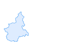
Silver Route
The route is initially dirt until the 4th km and then becomes paved until the end. Basically flat, the elevation differences present are negligible. At the Start/Finish site, there are drinking water fountains,...
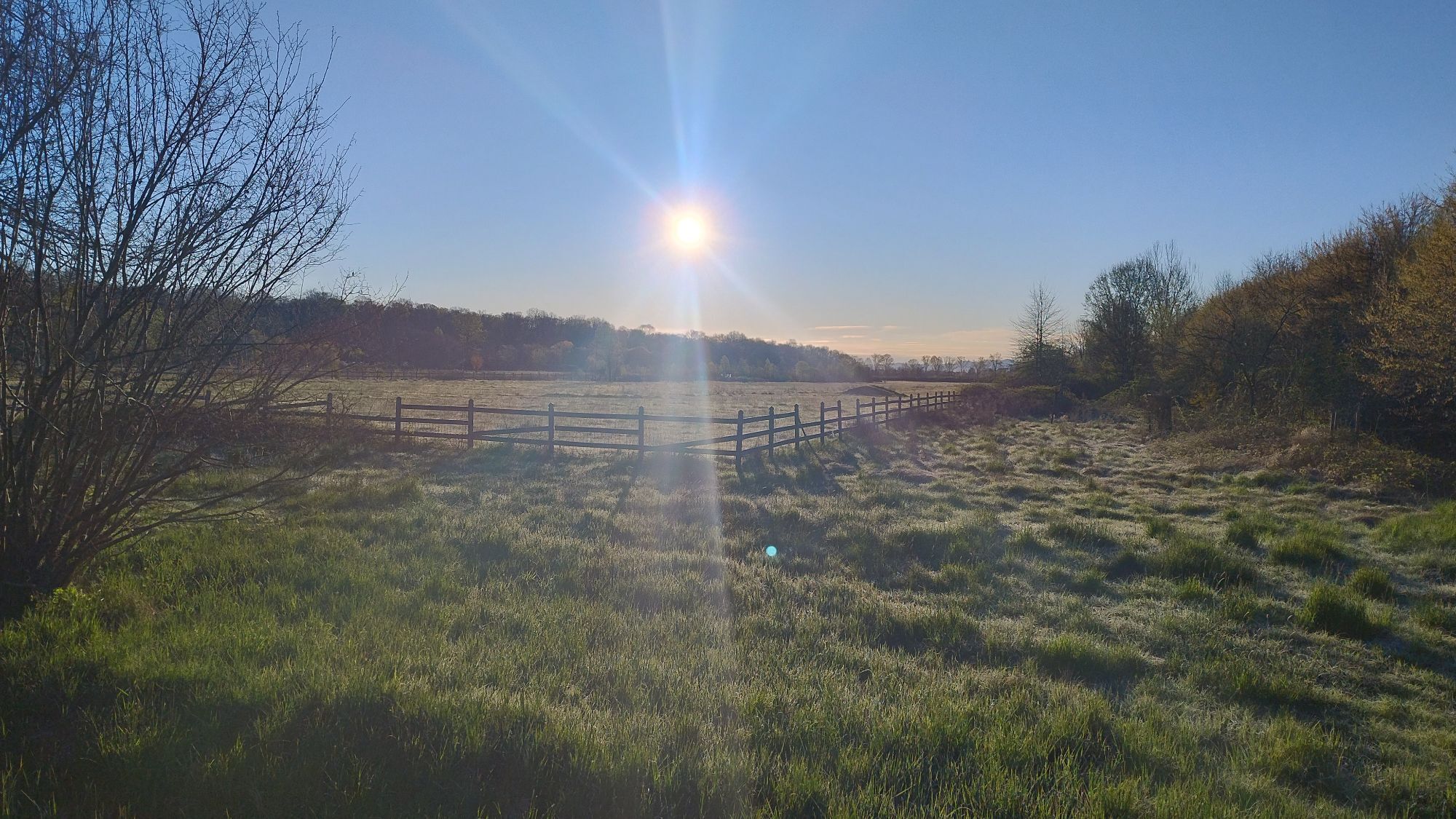
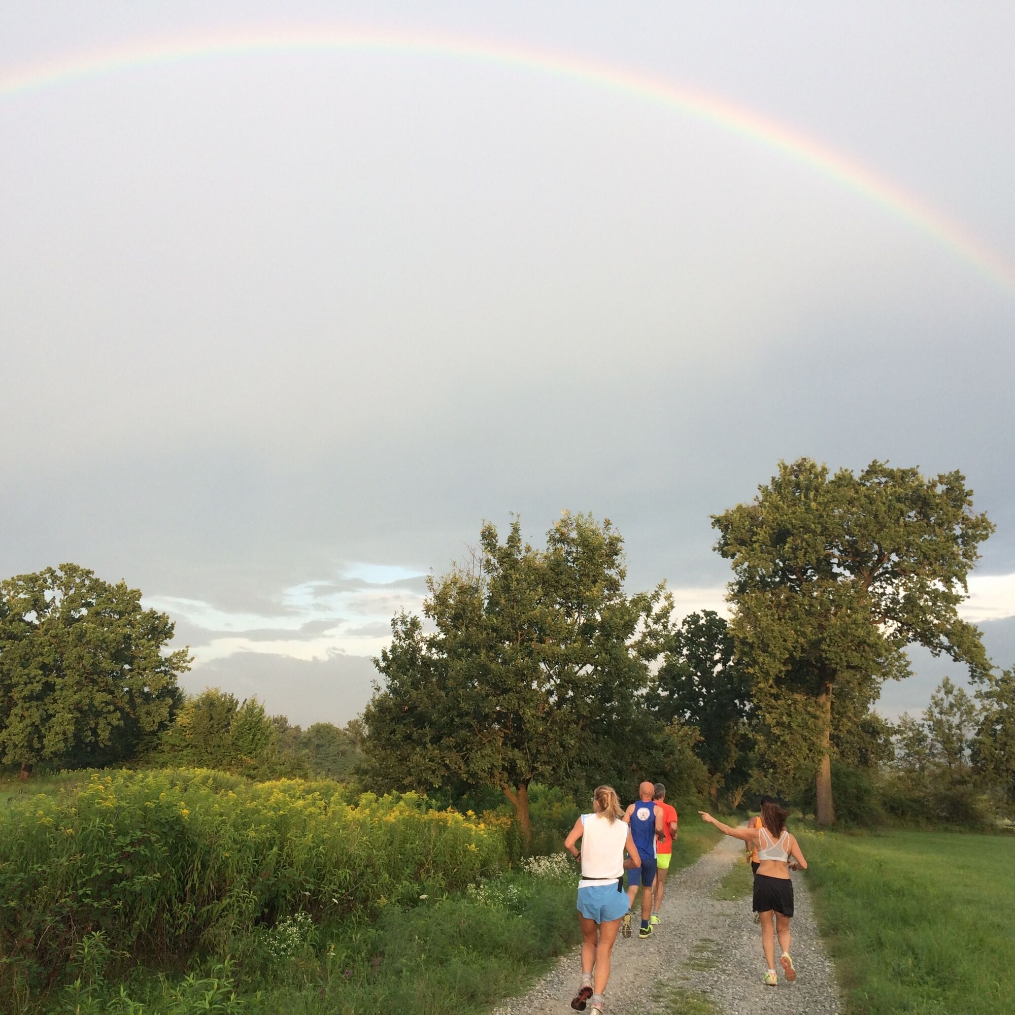
The route is initially dirt until the 4th km and then becomes paved until the end. Basically flat, the elevation differences present are negligible. At the Start/Finish site, there are drinking water fountains, and wardrobe lockers (you must bring your own padlock for use. )Along the route you will encounter drinking fountains and benches.
GTT Venaria Express bus line
Unguarded public parking located at the bottom of Viale Carlo Emanuele II, No. 256, Venaria Reale (To)

Obľúbené výlety v okolí
-
4,7
On the summit of the magical Musiné
svetloTuristika 6,94 km -
CASELETTE - The Musiné loop
strednáTuristika 7,52 km -
MONASTEROLO Ca' Bianca and Big Bench
svetloTuristika 4,13 km -
COLLE DEL LYS Partisan Trail
strednáTuristika 11,6 km -
VALLO TORINESE Passo della Croce and the Turu
strednáTuristika 4,29 km -
GIVOLETTO Madonna della Neve on Monte Lera
strednáTuristika 6,11 km -
MONCALIERI - Biking on the water: Le Vallere and Valentino Park
svetloCyklistika 17,0 km -
VARISELLA The ruins of the Baratonia castle, churches, and pools of Varisella
strednáTuristika 10,1 km -
COLLE DEL LYS Monte Arpone loop
svetloTuristika 4,50 km -
COLLE DEL LYS Alpine Loop
strednáTuristika 15,3 km
Turistika a stopovanie


Nenechajte si ujsť ponuky a inšpiráciu na ďalšiu dovolenku
Vaša e-mailová adresa bol pridaný do poštového zoznamu.