


Mountain Historic Routes | Gardetta Plateau
A suggestive combination of routes between outdoor activities and culture, immersed in a landscape with splendid peaks like the “Dolomitic” Rocca d'la Meja.
In the 1700s the plateau became completely unpaved...
A suggestive combination of routes between outdoor activities and culture, immersed in a landscape with splendid peaks like the “Dolomitic” Rocca d'la Meja.
In the 1700s the plateau became completely unpaved as it was heavily militarized, and in the same century the area was the scene of clashes between Piedmontese and French armies. At the end of the 1800s, the barracks were built, now home to the Gardetta refuge, and after integration into the Western Alpine Wall plateau in the Second World War, the road network was used by shepherds and local inhabitants.

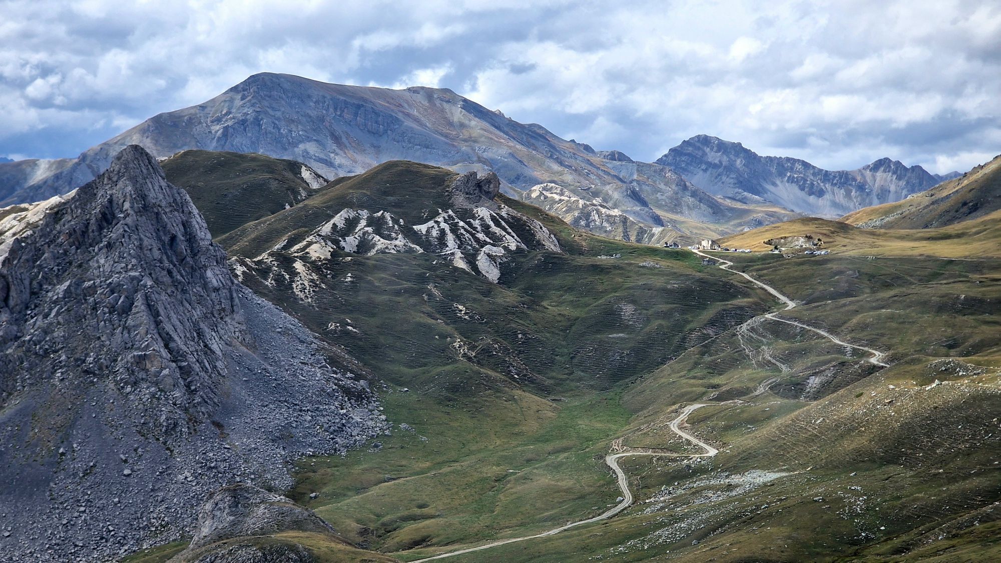
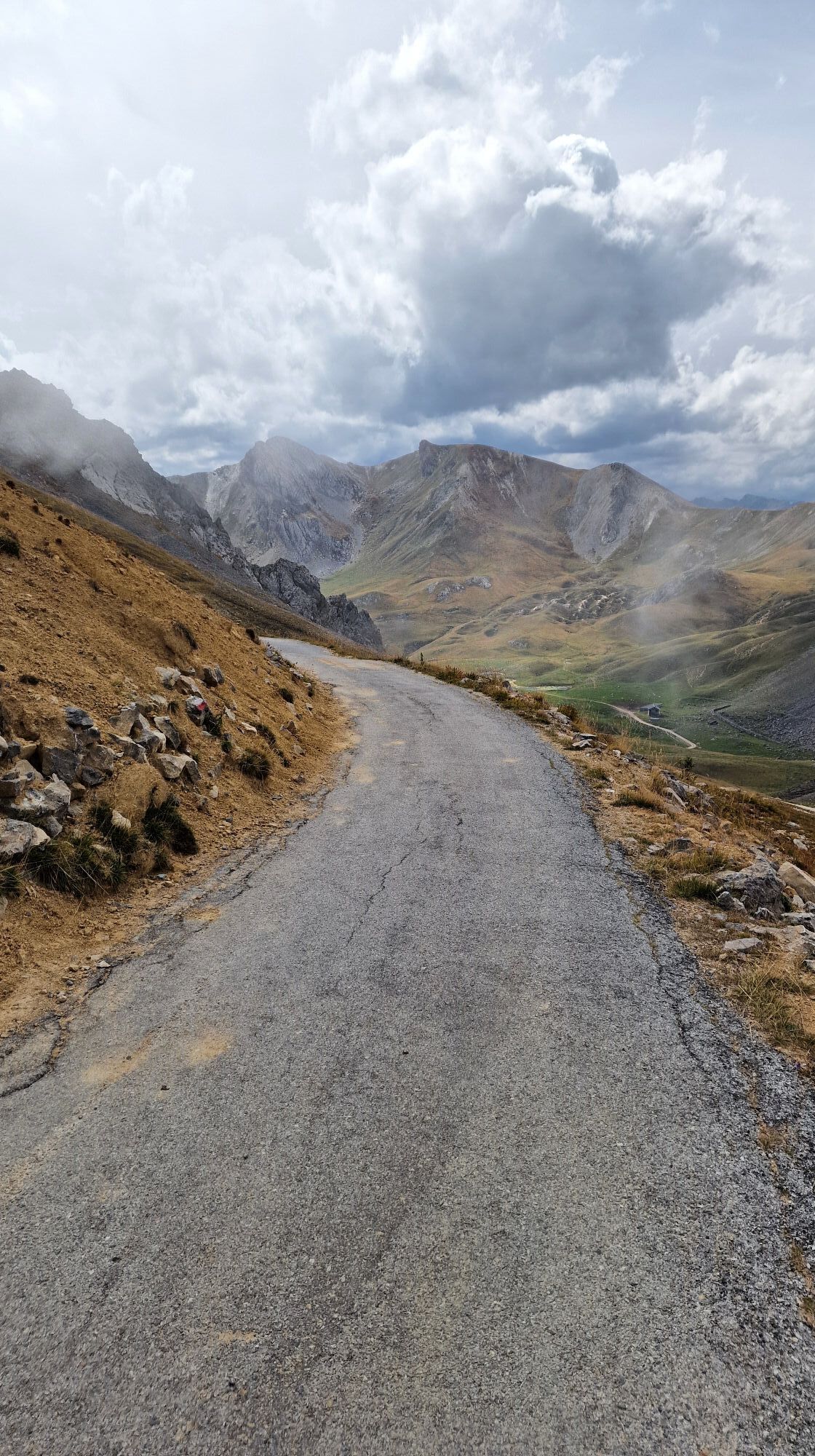
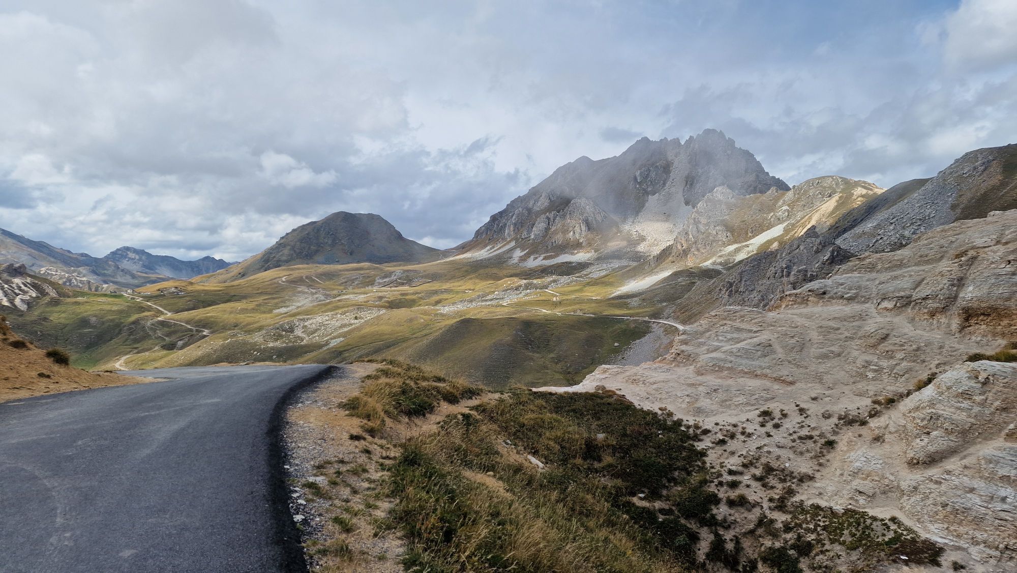
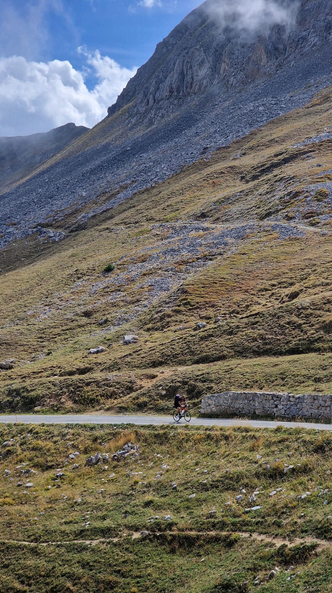
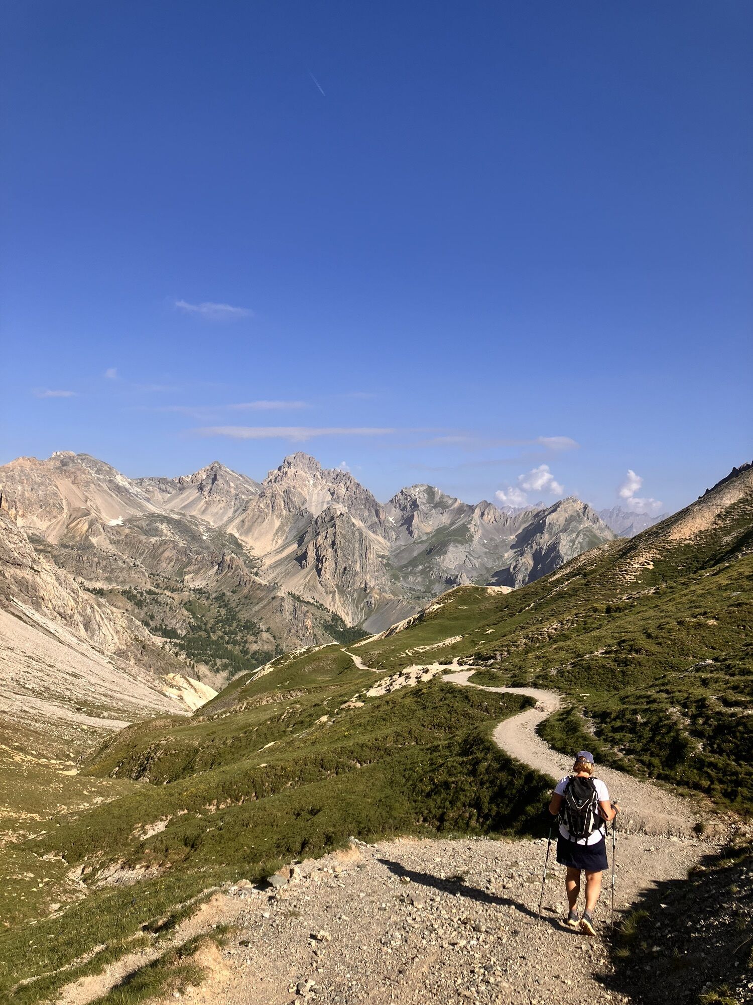
Included in numerous cycle routes, the Gardetta Plateau is the junction point between the Maira, Grana and Stura di Demonte Valleys and can be reached from the Colle del Preit and the Vallone di Unerzio (Maira Valley), from the Colle di Valcavera and d’Esischie (Stura and Grana Valleys). The proposed route starts from Colle Valcalvera and follows the unpaved road for its entire length, up to the Gardetta Pass and Grange Selvest.
Áno
Áno
Shuttle service to the Gardetta Plateau to limit traffic on the Grange Selvest-Colle del Preit road section and on the plateau.
Regular runs (route Grange Selvest/Colle del Preit) with continuous hours from 8:15 to 12:30 and from 13:30 to 17:30 and special runs (route Borgata Vernetti di Marmora – Canosio – Borgata Preit di Canosio – Grange Selvest parking area – Colle del Preit), with one run towards Colle del Preit at 7:50 from Vernetti and a return to Vernetti at 17:30.
Tickets can be purchased directly on board the shuttle.
https://www.vallemaira.org/2022/06/29/navetta-per-laltopiano-della-gardetta/
In addition to the namesake refuge on the Gardetta plateau, located in an old military shelter, there are numerous accommodations and refreshment points in the area and near the entrances. In August and on weekends of higher attendance, a shuttle service from Grange Salvest to the Gardetta Plateau is activated.
Obľúbené výlety v okolí
-
4,5
Acceglio, bric boscasso
strednáSkitour 12,1 km -
4,5
Col de Larche - Lac du Lauzanier, France
svetloTuristika 13,7 km -
5,0
Rocca le Meja - Valle Maira
ťažkéVysoké turné 19,8 km -
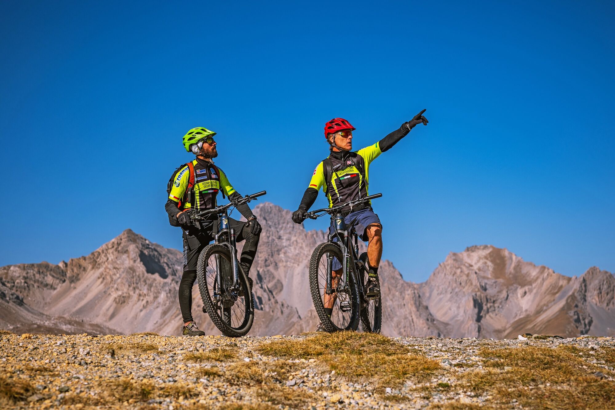
Gardetta Bike Emotions
strednáMountainbike 13,5 km -
San Giacomo-Colle Valcavera
strednáCestný bicykel 13,2 km -
5,0
Occitan Routes: Stage 8 Borgata Ussolo - Borgata Chiappera
strednáTuristika 14,5 km -
5,0
Goldtoni - Alpenbogen A077 Refugium Campo-Bousieyas
strednádiaľková pešia trasa 34,1 km -
5,0
Chiappera- Spaziergang
svetloTuristika 8,39 km -
5,0
Goldtoni - Alpenbogen A109 Sambuco-Ruata Valle (Stroppo)
strednádiaľková pešia trasa 36,8 km -
5,0
Goldtoni - Alpenbogen A108 Strepeis-Sambuco
strednádiaľková pešia trasa 16,1 km
Turistika a stopovanie


Nenechajte si ujsť ponuky a inšpiráciu na ďalšiu dovolenku
Vaša e-mailová adresa bol pridaný do poštového zoznamu.