






Trino, the chequered sea

From Trino Via Principato di Lucedio, go through the ghost village of Leri with the country house of Cavour; go alongside the Leri Power Station until reaching Crescentino to finally return to Trino, along the Po.

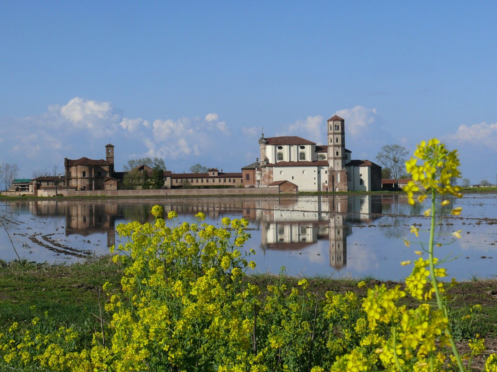
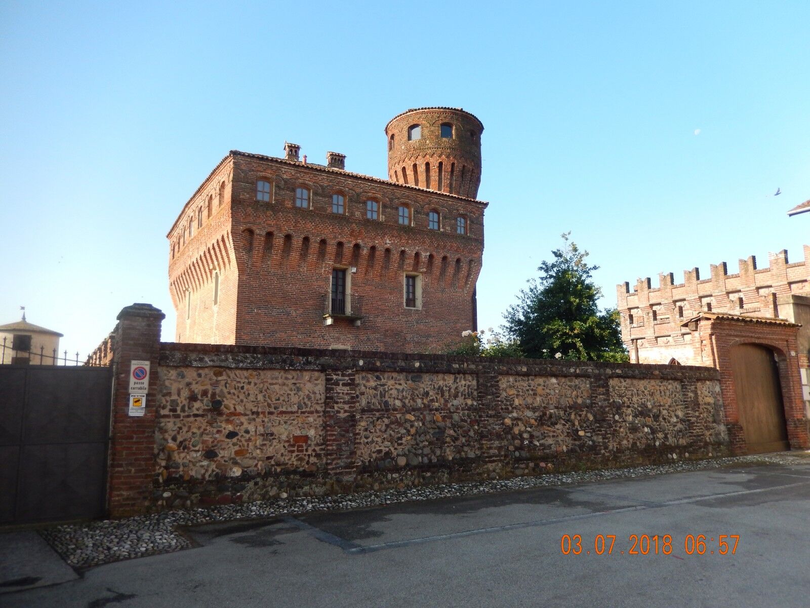
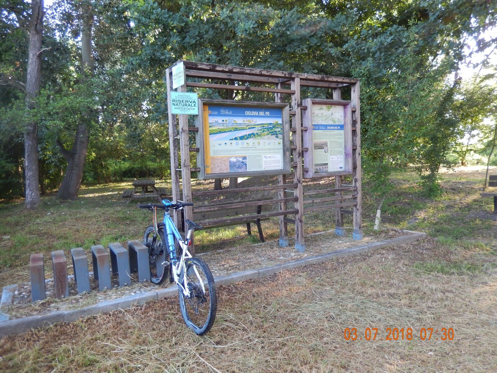
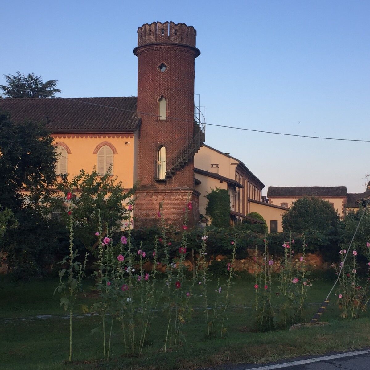
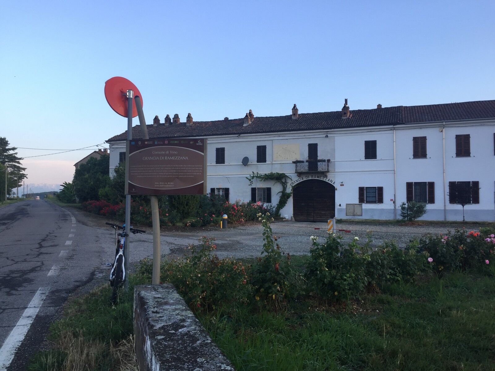
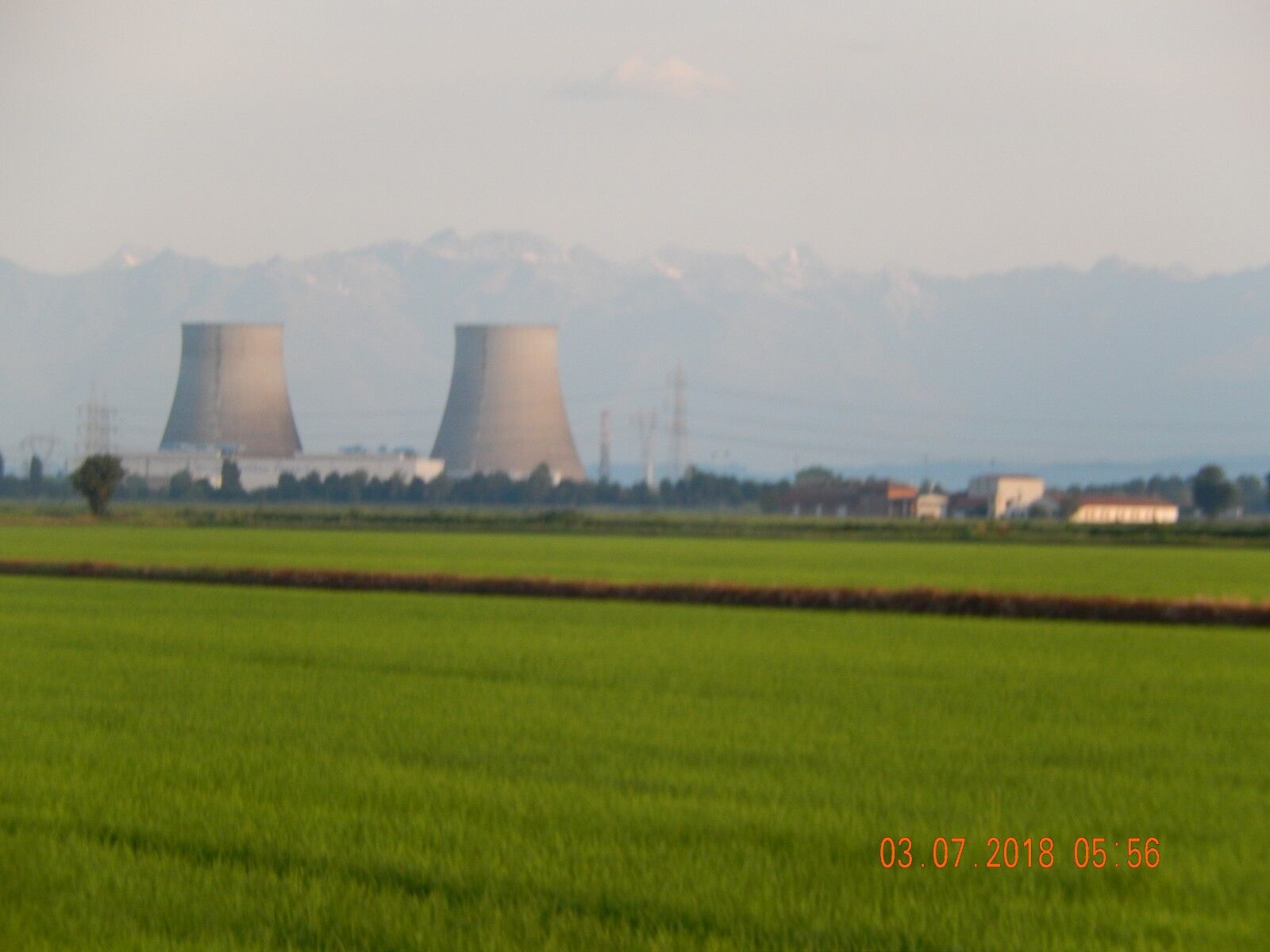
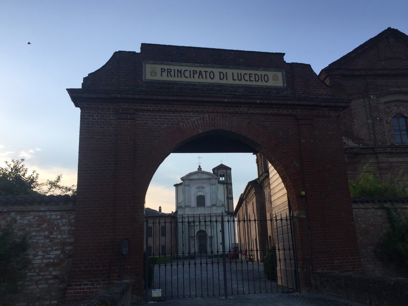

From Trino via Principato di Lucedio, you cross the ghost town of Leri with the country house of Cavour; skirting the Leri power station you reach Crescentino to finally return to Trino, skirting the Po.Departure from the center of Trino Vercellese in piazza Garibaldi, from the parking lot take Corso Cavour SP7 Exit Trino and continue to the crossroads that leads to Livorno Ferraris and Cigliano follow these indications, go past the "Grangia Ramezzana", at the roundabout turn right for the "Principato di Lucedio" from here it is about km away. 2,600. Once there, take the dirt road on the left, it is a straight road to travel for about 1,700 km, (be careful) Turn right and take the SP1 which we will cross to take us to the abandoned village of "Leri Cavour" where the country residence of " Camillo Benso Conte di Cavour”, go past the village, turn left and then right onto the road that circumnavigates the area of the Leri cavour power station, go right, continue until the end of the asphalt, then onto the country road we turn right, we will skirt the "Canale Lamporasso" in the direction of "Lamporo" until we cross and cross the SP7, we are in "Località Colombara" cross and continue on this dirt road which after about 850 m. with a left turn it moves away from the “Canale Lamporasso”, then with two right turns it returns to skirt it going left. (NOTE: If you wish, from the "Località Colombara" you can continue without detours and skirting the "Canale Lamporasso" up to "Cascina Cantone"). (NOTE: We are on the "La Stra dla Lola", a cycle/pedestrian path of approximately 55 km which winds around Livorno Ferraris). Once at the "Cascina Cantone" turn left and go towards "San Genuario", this paved road, near another farmhouse continues on a grassy dirt road and leads to the SP1 which we will cross and after a few meters turn right and enter village let's take a look at the Castle and then going back a few meters we take via Adua again, then right and first left, we leave the village and we'll go back across the SP1, at the first house "San Grisante" we turn left, until you cross the SP1 again, after 500 m. approximately, junction with another road, we turn right, after a few meters at the crossroads we keep left, we are in "località Lignola". We continue and enter "Crescentino" and reach the SP2, turn left, cross the town and without detours in the direction of the river Po and the hills of Verrua Savoia, after the last roundabout at about 500 m. turn left onto the dirt road signposted “Ciclovia del Po”. Staying on asphalt, (NOTE: do not take the "Argine" dirt road which we will find in front of us) we will arrive at "Cascina Ressia" (Information Totem for the Po cycle path). After the wide curve and having passed a dirt road on the right that is not of interest to us, we turn right, continue passing by the hamlet of "Santa Maria" and, after km. Approximately 3.5 we cross the SS31 bis, we go towards "Fontanetto Po", a tour of the town and take the SP33 which takes us to "Palazzolo Vercellese" and Trino Vercellese, our starting and arrival point. Journey time : from 3 to 4 hours Total ascent: m. 122Total descent: m. 129Difficulty: TC (also suitable for city bikes).Geomapped route by Claudio TrombinUpdate of 3.
It should be noted that the itineraries may include sections where vehicular traffic is present.
Total ascent: m. 122
Total descent: m. 129
Difficulty: TC (also suitable for city bikes).
Route Geomapped by Claudio Trombin
Obľúbené výlety v okolí
-
Among medieval forests
svetloMountainbike 10,1 km -
Avanti Savoia!
strednáMountainbike 25,0 km -
Sentiero giro del Monte Favato - sentiero 711 in camminata
Pútnická trasa 6,43 km -
Sentiero giro del Monte Favato - sentiero 711 in mountain bike
Mountainbike 6,43 km -
Sentiero la strada dei Miroglio - Sentiero 710 in camminata
Pútnická trasa 16,6 km -
Sentiero Cantavenna - Chioalengo - Sentiero 743 in camminata
Pútnická trasa 6,53 km -
Sentiero la strada dei Miroglio - Sentiero 710 in mountain bike
Mountainbike 16,8 km -
Sentiero Cantavenna - Chioalengo - Sentiero 743 in mountain bike
Mountainbike 6,53 km -
Sentiero sulle cime di Mombello - Sentiero 748 in mountain bike
Mountainbike 10,9 km -
Sentiero sulle cime di Mombello - Sentiero 748 in camminata
Pútnická trasa 10,8 km
Turistika a stopovanie


Nenechajte si ujsť ponuky a inšpiráciu na ďalšiu dovolenku
Vaša e-mailová adresa bol pridaný do poštového zoznamu.





