


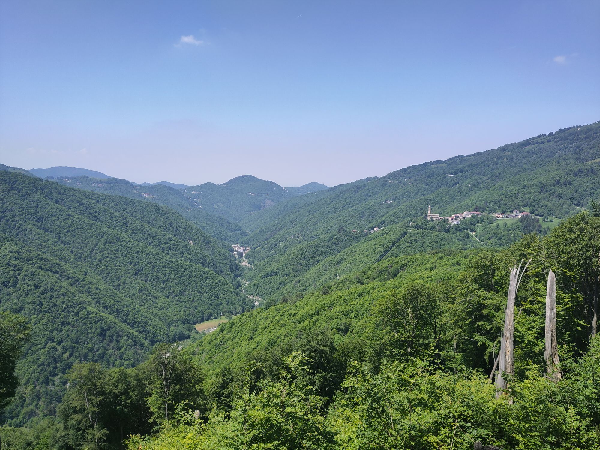
The loop trail of Bosconero

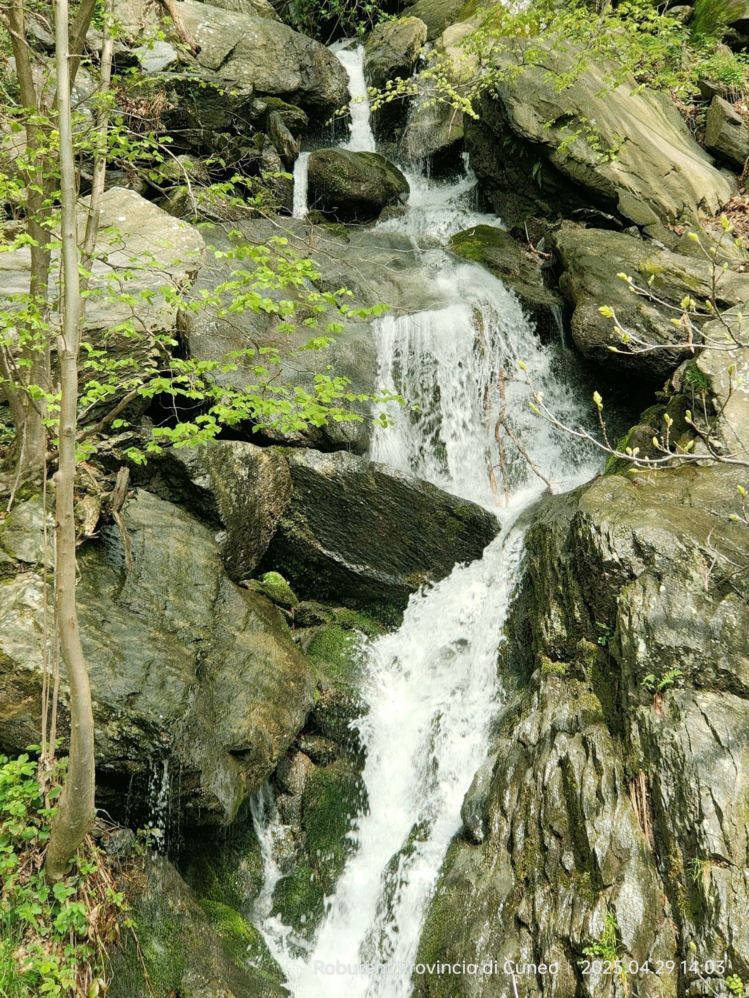
The woods between Vicoforte and Garessio have earned this name, since the days of the Carthusians of Valcasotto, precisely because the second branch of the Roa Marenca passed through them, from Moline...
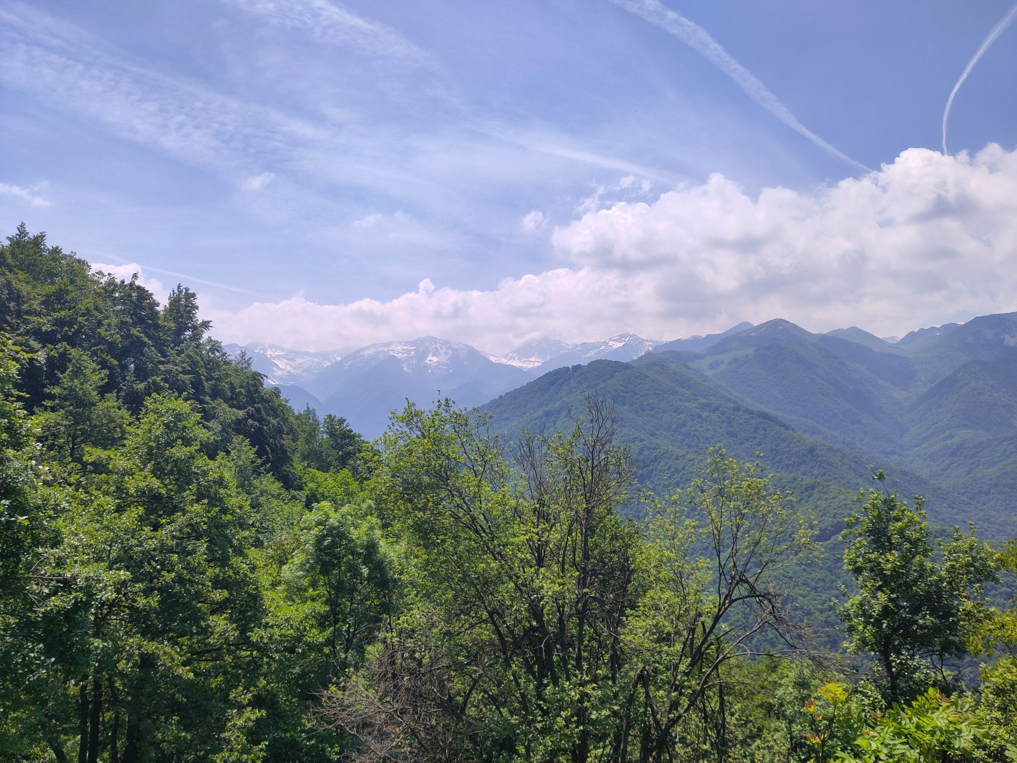
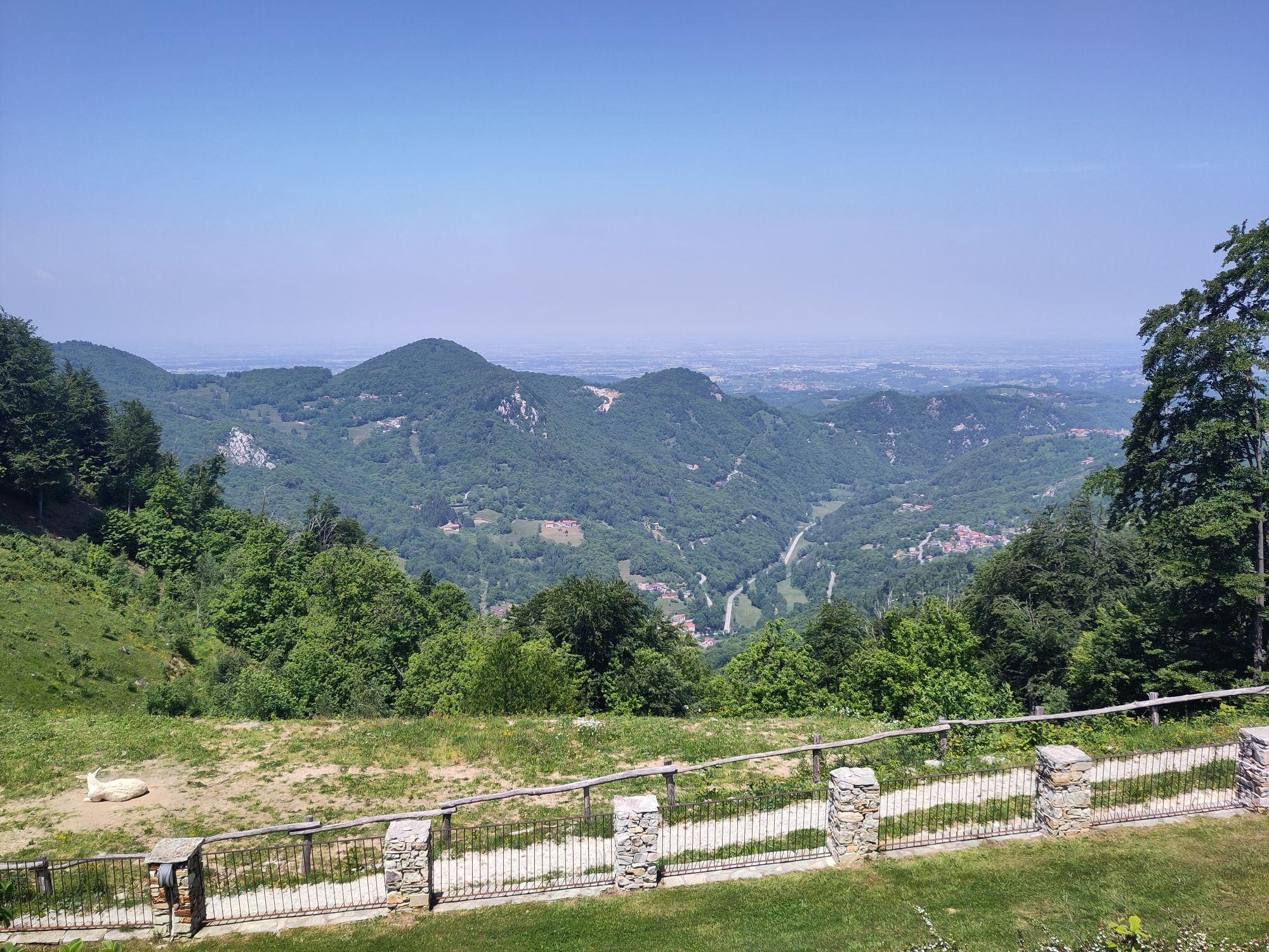
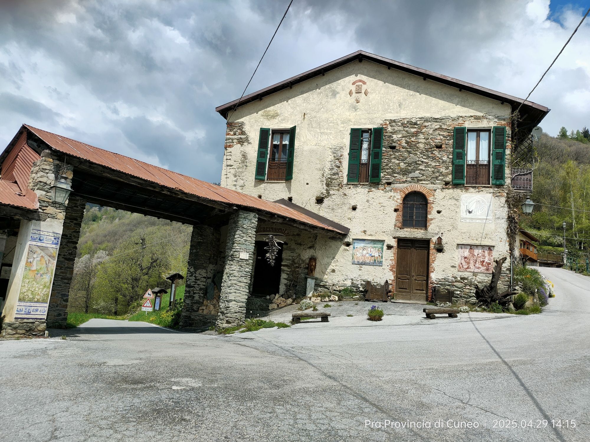
The woods between Vicoforte and Garessio have earned this name, since the days of the Carthusians of Valcasotto, precisely because the second branch of the Roa Marenca passed through them, from Moline to Ormea, passing through Colle Termini, in Val Corsaglia. In addition, it was black because dense and infested with highwaymen. Today the road is easy to transit and rich in evidence of the past. From the Moline “toll gate”, you return briefly to Torre Mondovì entering Provincial road SP35 in the direction of MONTALDO as far as the hamlet of “ROAMARENCA”. Even before you arrive to the village, a fresco of San Giovanni, directly on the road, and the 10th century hermitage (or rather the home of the hermits, now well signposted) of St. Ambrose, with a delightful fresco, suggest that you are entering an ancient world. The vineyards, which overlook the village, confirm this: they are of the rare “Cardin” variety, ancient progenitor of many Piedmontese vines, present today only here! A short visit on foot along the lanes of the ancient village will allow you to discover stone arches of the ancient Jewish ghetto. Do not miss a visit to the “capital” of Montaldo, to its magnificent open-air ARCHAEOLOGICAL SITE, with a cantilevered walkway, all well explained: a true rarity! Crossing the village, a modern garage in piazza “Gabella” is the only sign that remains of the horrid transit taxes on goods that also gave way to the Salt War (1680-99), against the greed of the Savoy family, who deported the entire population of Montaldo to the area of Vercelli!


ATTRACTIONS
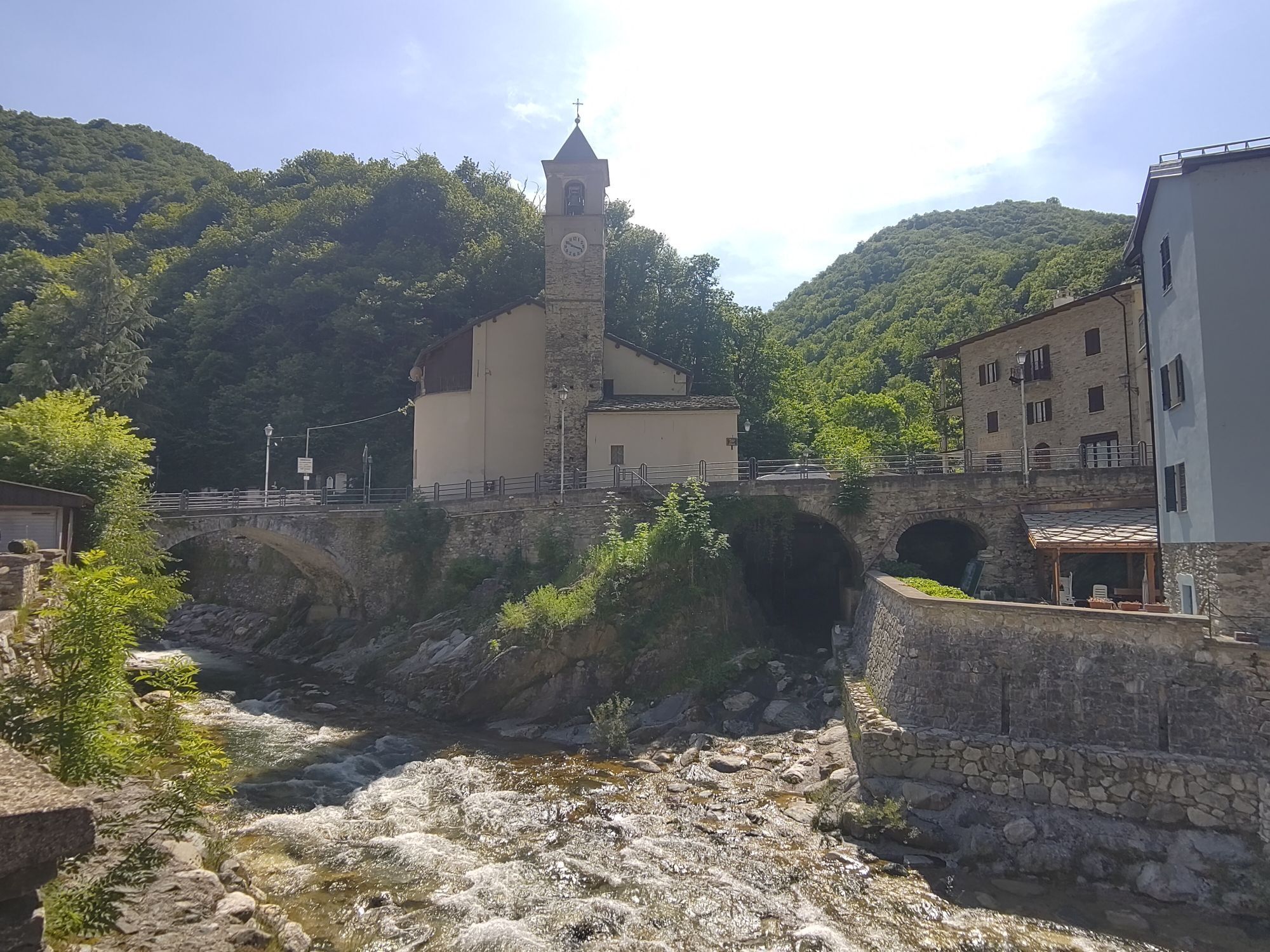
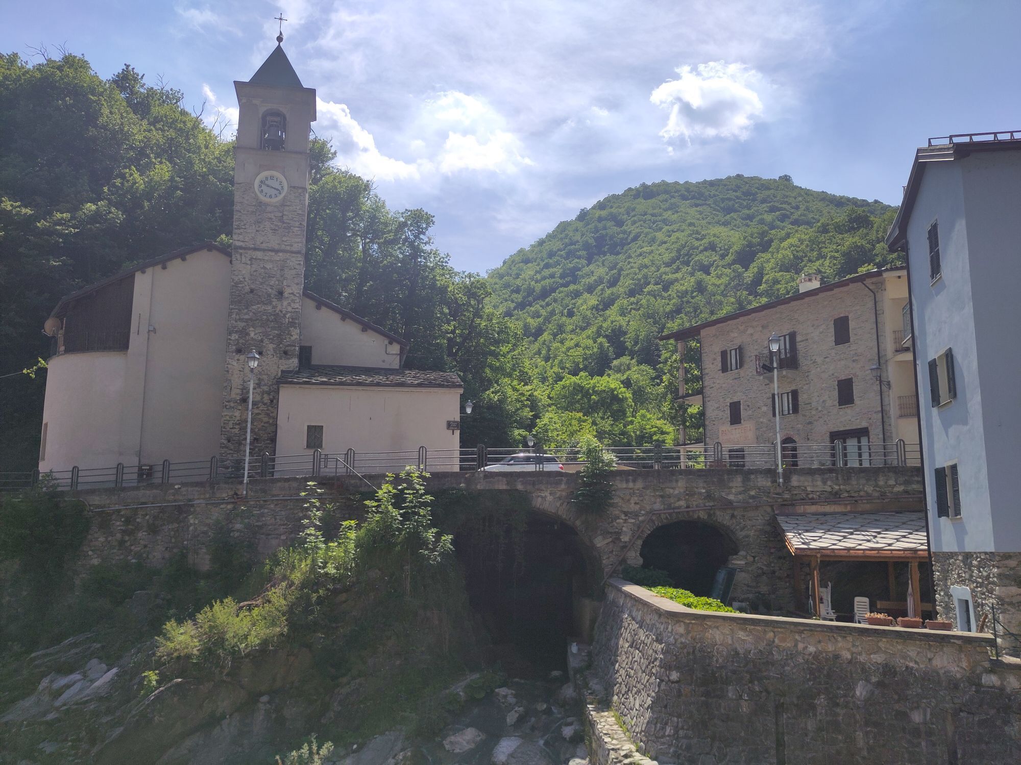
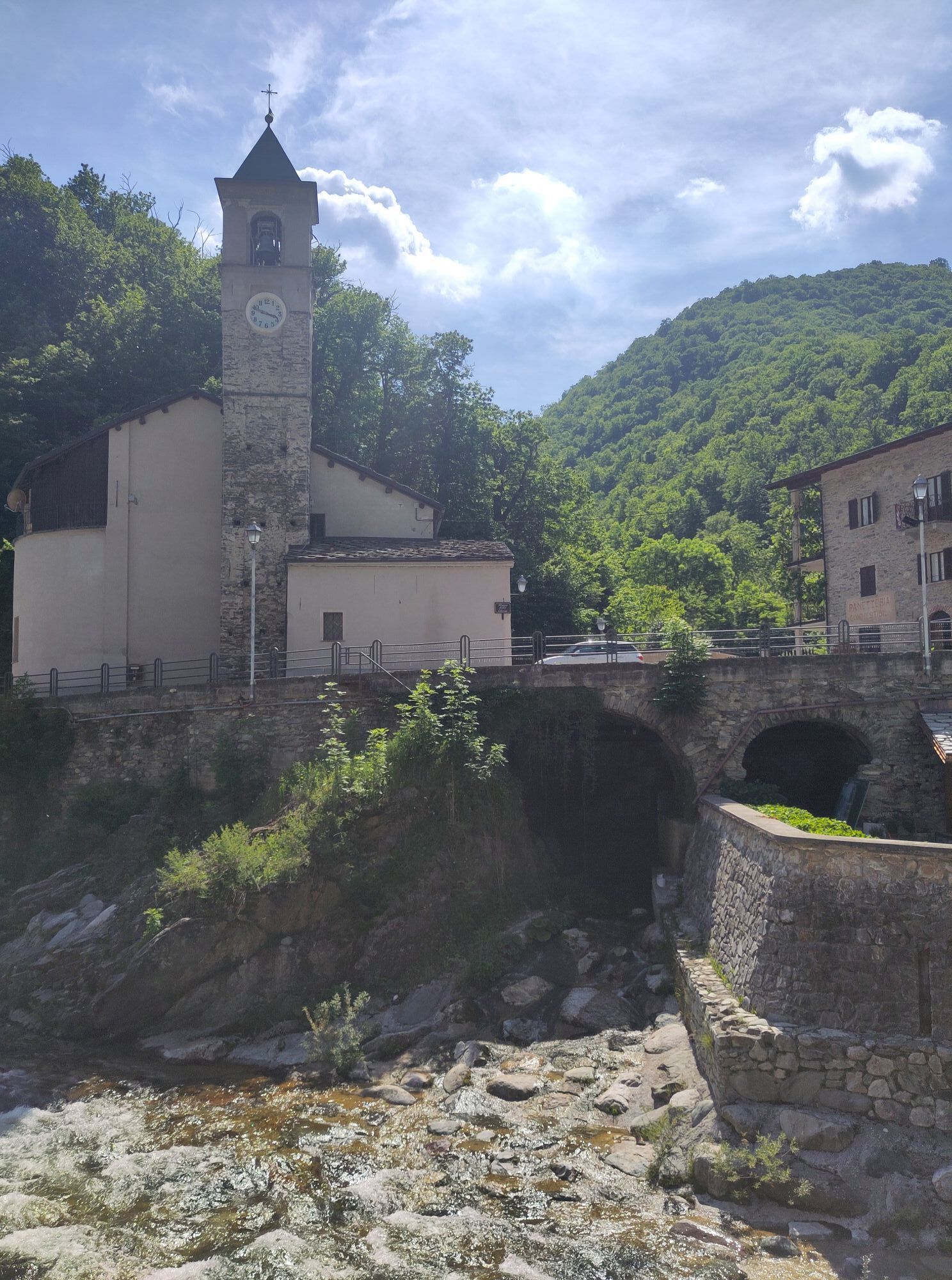
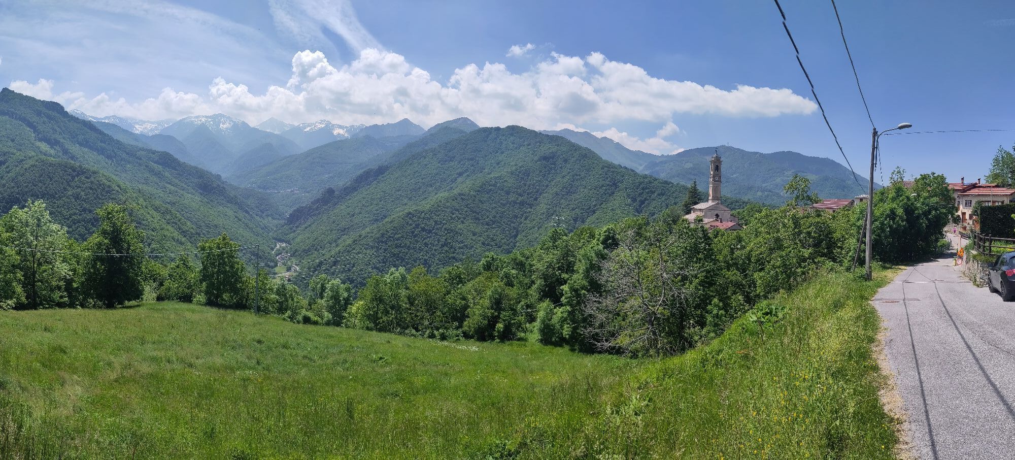
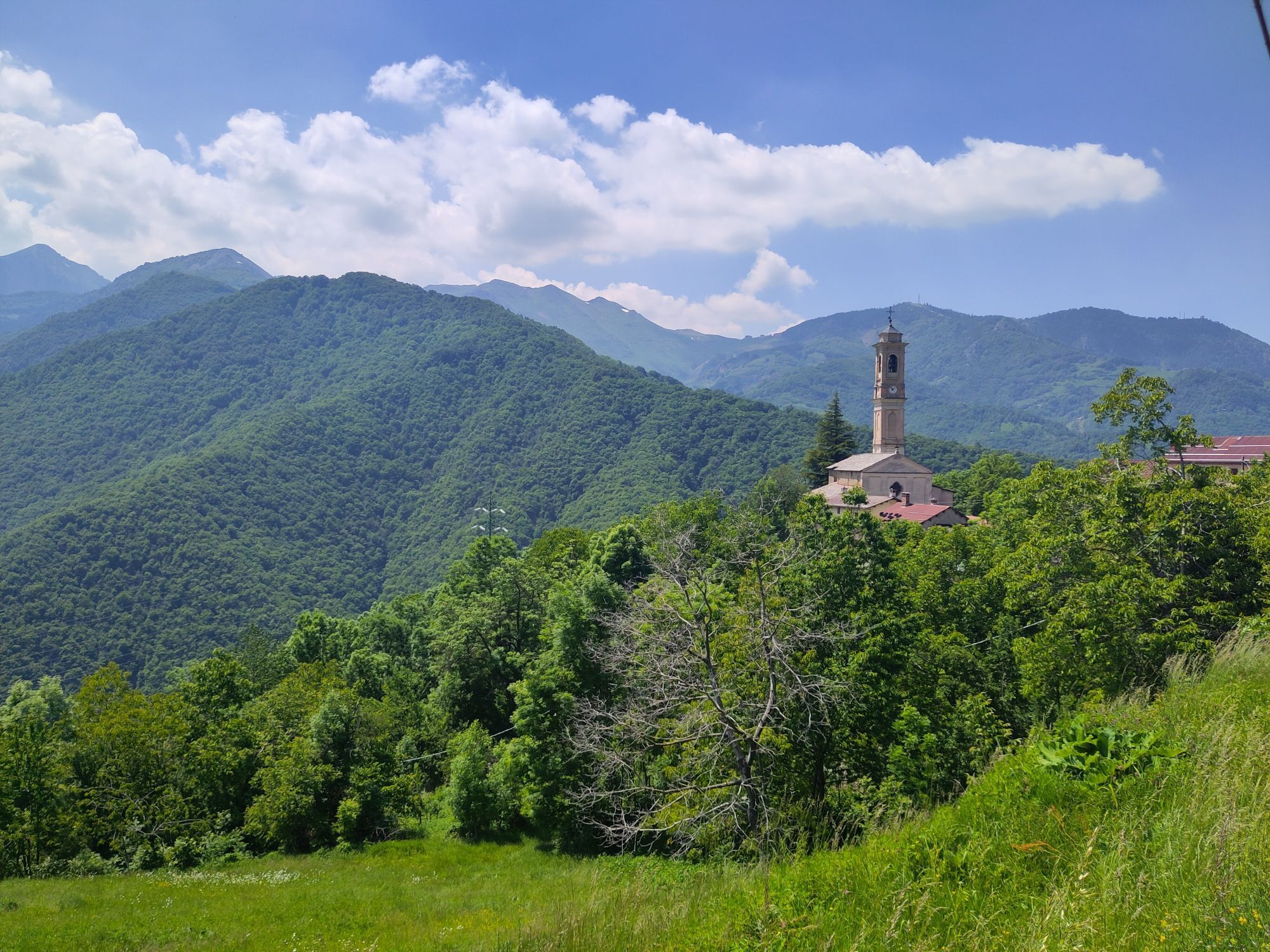
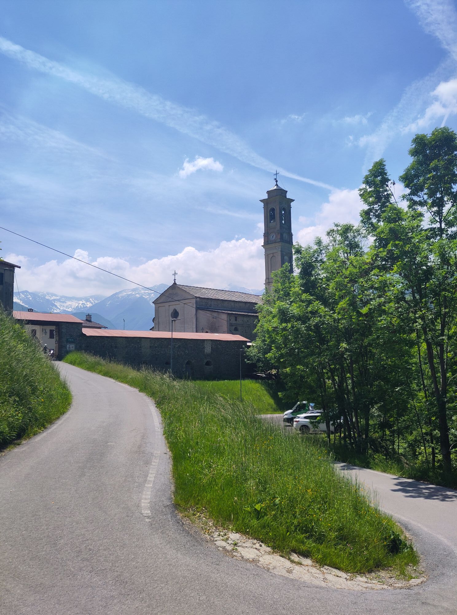
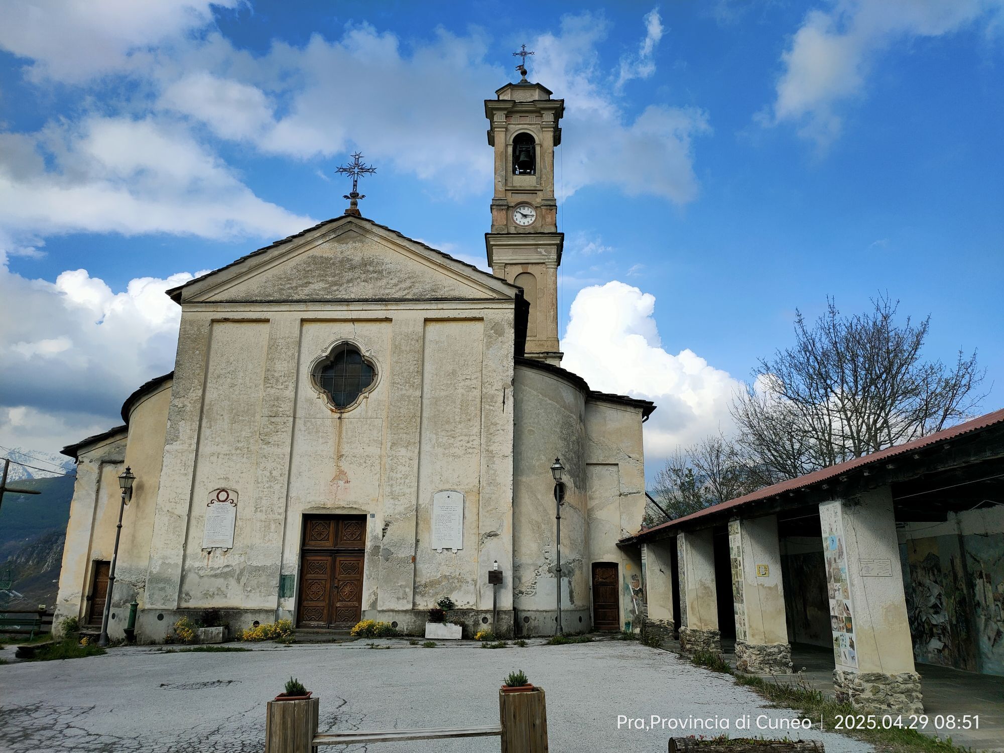
The chapels of Torre Mondovì
Oratories, churches, chapels and isolated crosses are all indicated using a cross-shaped symbol on military maps. Highlighting these symbols and taking as reference the territory of any of the residential communities in the Monregalese Valleys, the visitor will find a considerable presence of sacred buildings. Undoubtedly, their presence will be higher inside residential centres and in the immediate surroundings, while isolated constructions will be found in the woods or in the open countryside: churches, chapels and pillars populate our territories to design a landscape that is not random but rather has developed according to residential needs. This is also shown by the fact that these constructions are rarely the result of projects that are accomplished immediately and unequivocally. Instead, they take form through the continuation of modifications, expansions and variations made at different times and each characterised by different approaches to construction, artistic ideas and space requirements.
The Municipality of Torre Mondovì and its hamlets are characterised by the presence of different churches, chapels and votive pillars belonging to different eras (starting from 1400). In their structure and ornamentation, they clearly show the development principle described above, making visible the alternation of different styles throughout the centuries.
St. Anthony’s Chapel>br /< St. Anthony’s Chapel>br /< St. Gotthard’s Sanctuary>br /< St. Gotthard’s Sanctuary>br /< Church of Saints Bartholomew and Placido>br /< Church of Saints Bartholomew and Placido>br /< Parish Church of the Assumption>br /< Parish Church of the Assumption>br /< St. Helen’s Chapel>br /< St. Helen’s Chapel>br /< Chapel of Madonna del Pilone>br /< Chapel of Madonna del Pilone>br /< Church of Saints Luigi and Carlo>br /< Church of Saints Luigi and Carlo
Montaldo Mondovì
The name Montaldo appears for the first time around 1000 on a document of the German Emperor Henry III that mentions the “Hermitage of St. Ambrose known as Montaldo”. In 2012, the archaeological area of the settlement of the Iron Age and of the 13th century medieval castle was inaugurated.
Obľúbené výlety v okolí
-
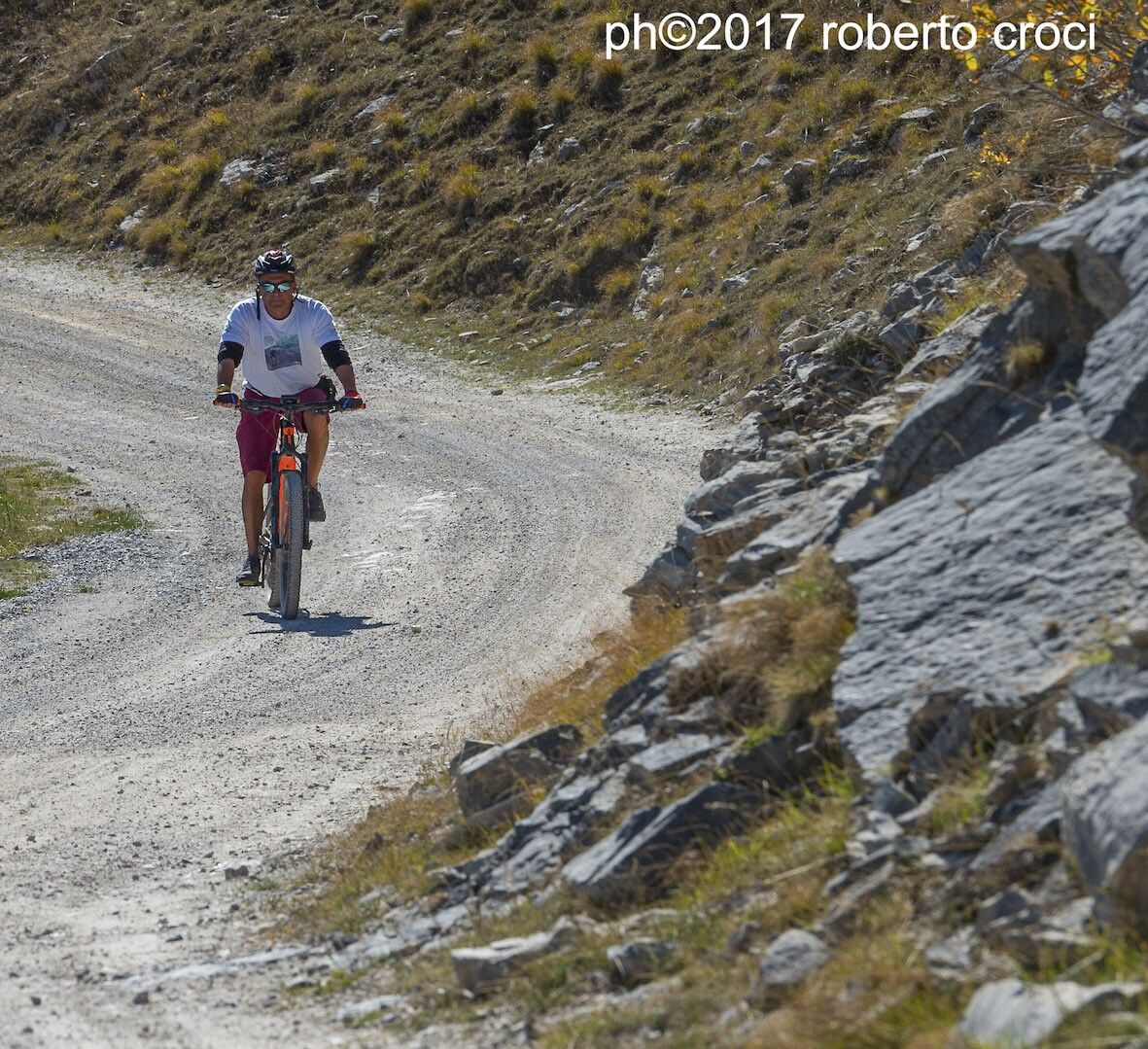
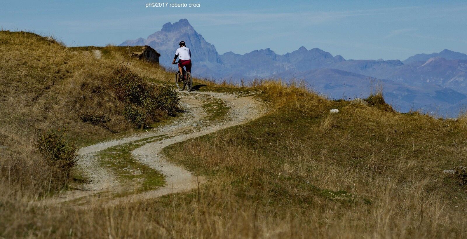
The Raschera loop
strednáMountainbike 62,1 km -
Sentiero Balcone Monregalese
svetloTuristika 104,0 km -
5,0
Historical Mountain Routes | Old Momburg Mountain Road
strednáTuristika 5,83 km -
Rifugio Mondovì - Norea / Smugglers' Route (stage 7)
strednáTuristika 14,5 km -
Croce cardini - monte Alpet
svetloSnežnice 4,93 km -
From Mondovì to Vicoforte, among artistic masterpieces
strednáMountainbike 31,1 km -
Sentiero Tanaro: Tappa 8 Garessio (Borgata Pian Bernardo, Fraz. di Trappa) - Ormea
svetloCyklistika 11,3 km -
Sentiero Tanaro: Tappa 14 Lisio - Viola St Gree
svetloCyklistika 7,88 km -
Sentiero Tanaro: Tappa 17 Frabosa Soprana (Fraz.Fontane) - Ormea (Rifugio Valcaira)
svetloCyklistika 14,9 km -
Sentiero Tanaro: Tappa 15: Viola St Gree - Pamparato (Borgo di Valcasotto)
svetloCyklistika 13,2 km
Turistika a stopovanie


Nenechajte si ujsť ponuky a inšpiráciu na ďalšiu dovolenku
Vaša e-mailová adresa bol pridaný do poštového zoznamu.