Navigácia na stránke
Získajte túto prehliadku v mobilnom telefóne
Mapa
St. Anne's Way
ťažké
Mountainbike
68,38 km
Naskenujte kód QR a spustite navigáciu v aplikácii bergfex
QR Code
Turistika a stopovanie

St. Anne's Way

Vzdialenosť
68,4 km
Trvanie
08:11 h
Ascent
2 149 hm
Hladina mora
507 - 2 011 m
Stiahnutie skladby
Mapa
St. Anne's Way
ťažké
Mountainbike
68,38 km

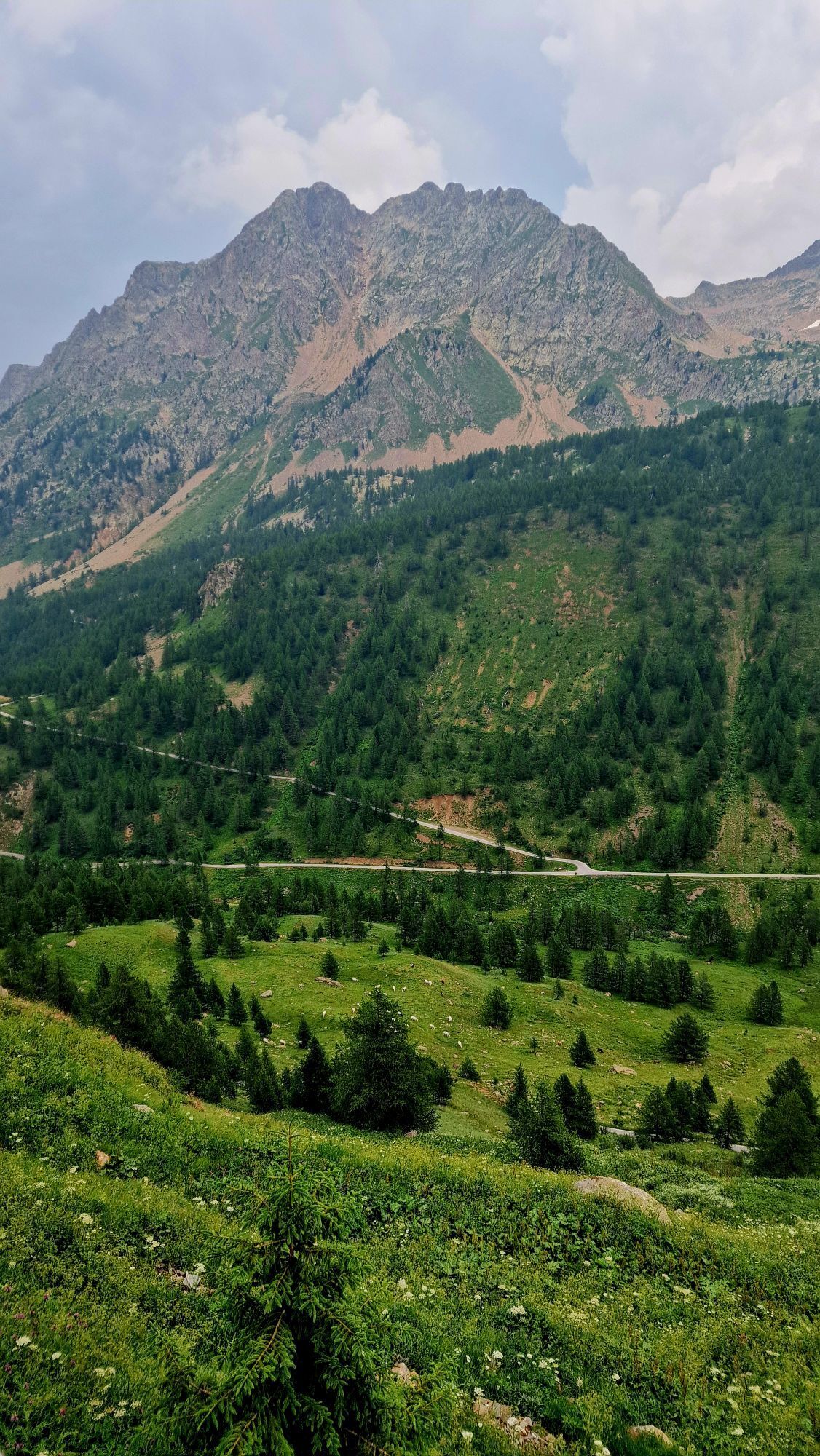
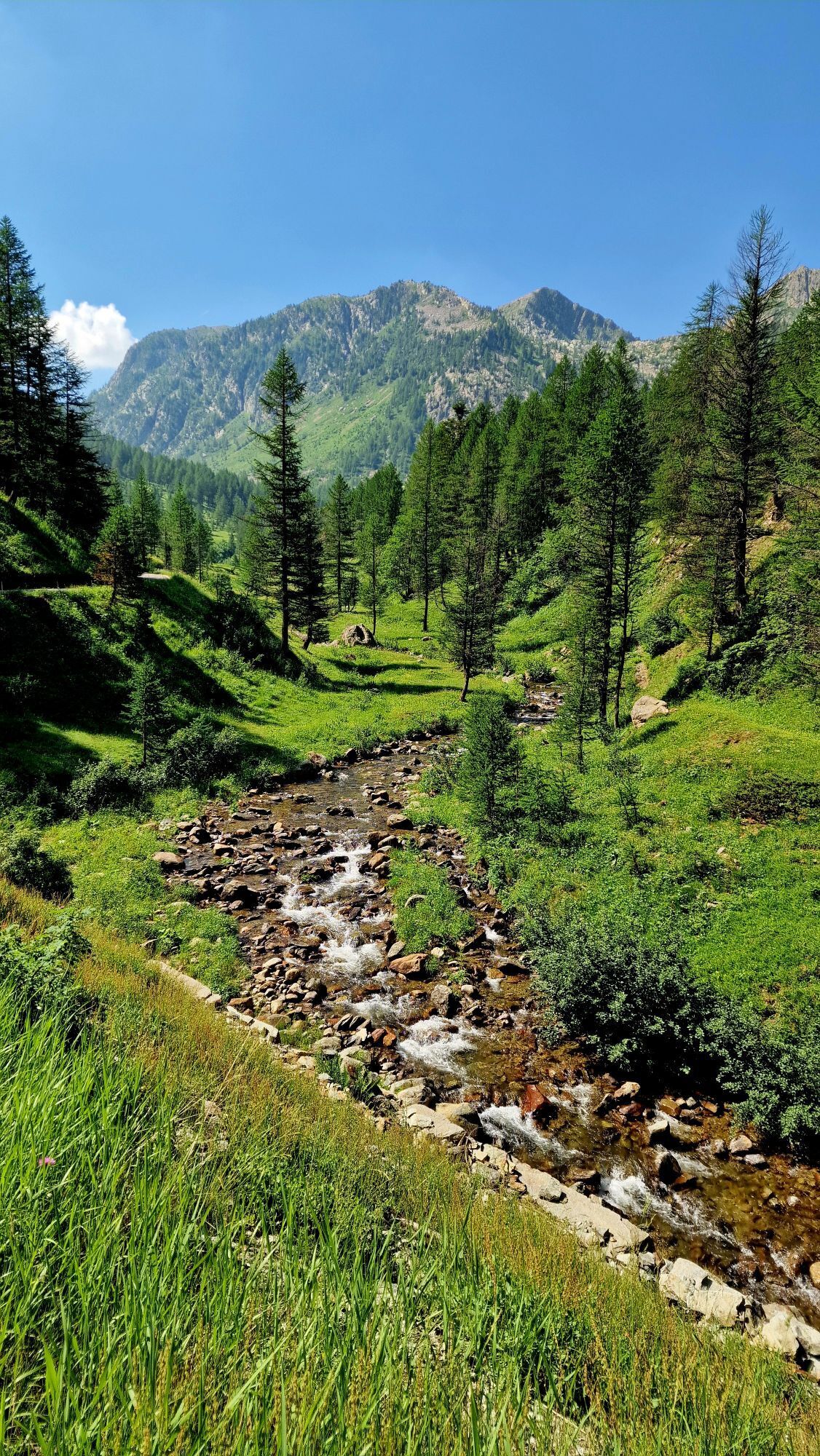
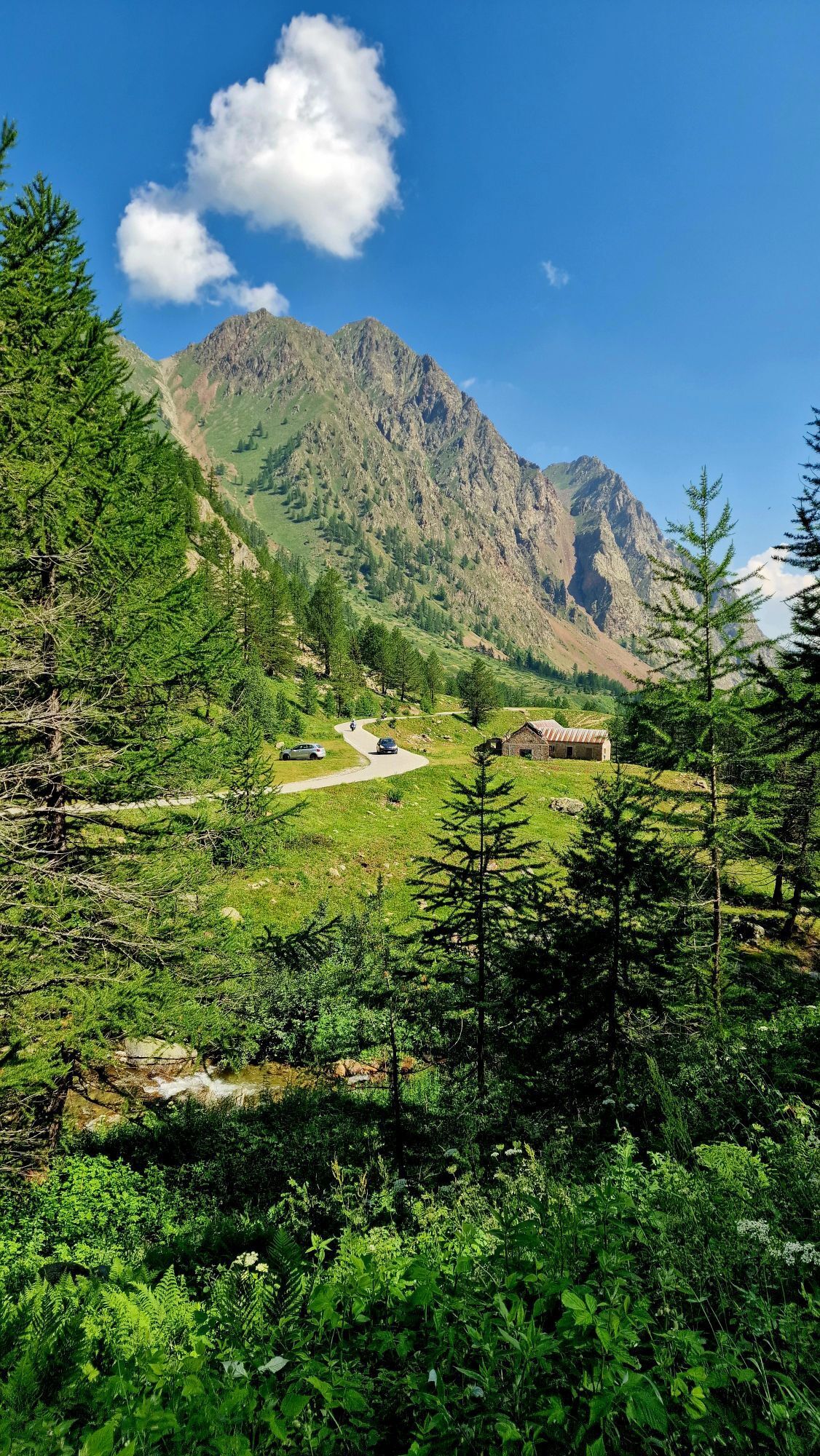
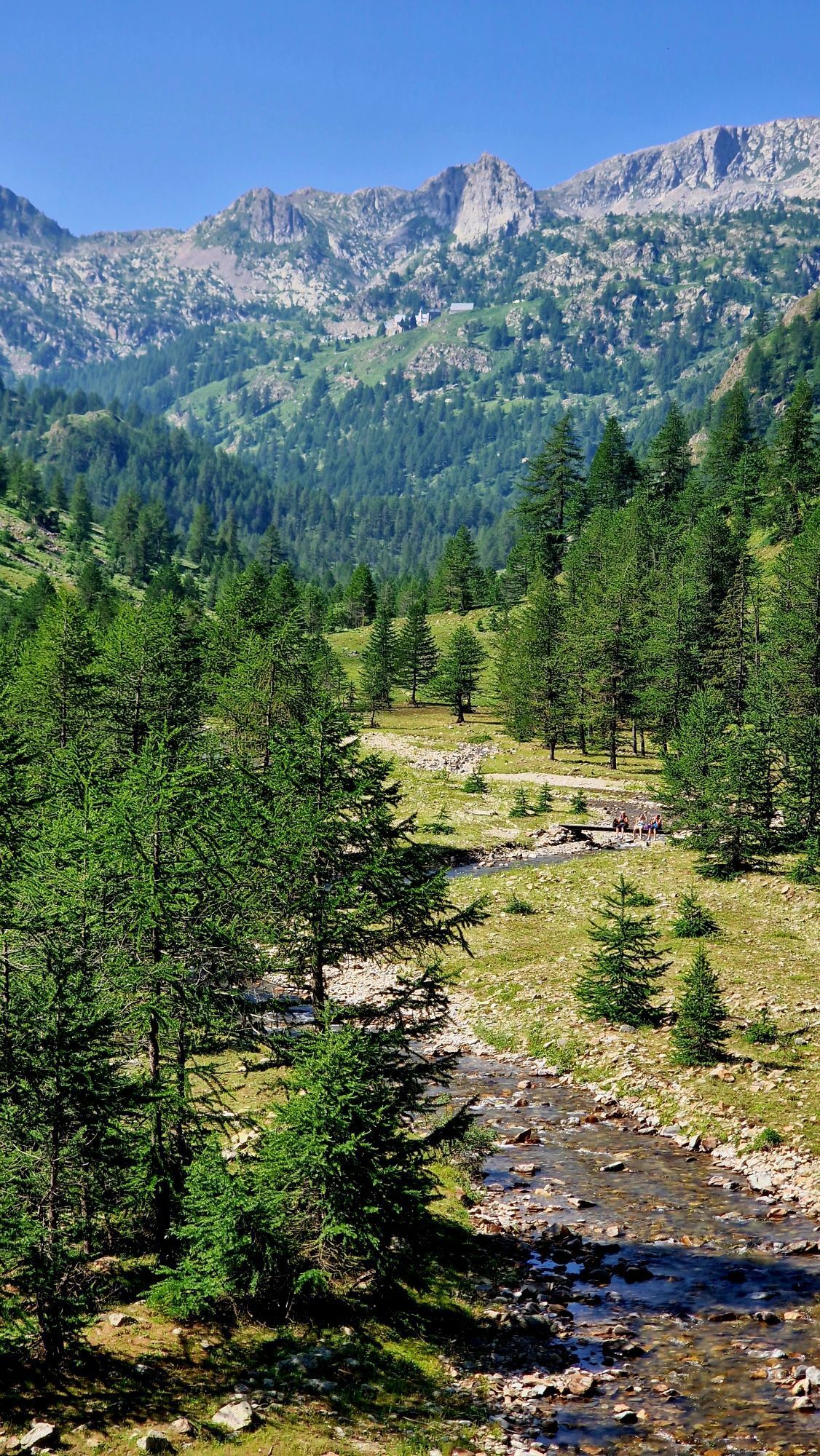
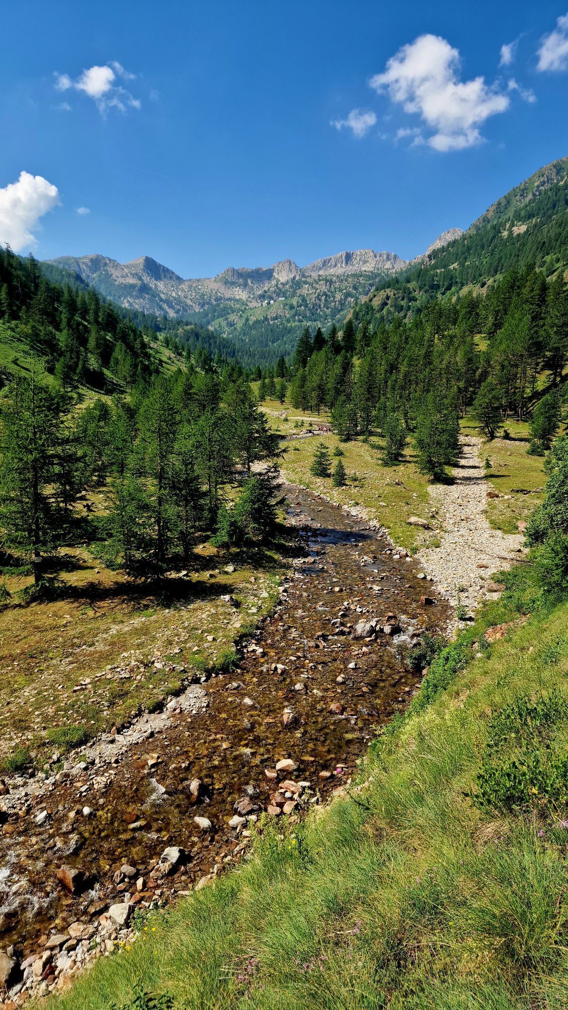
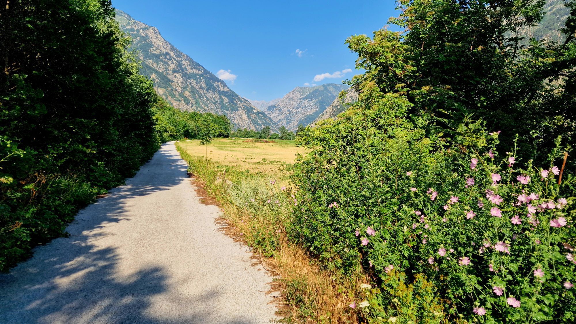
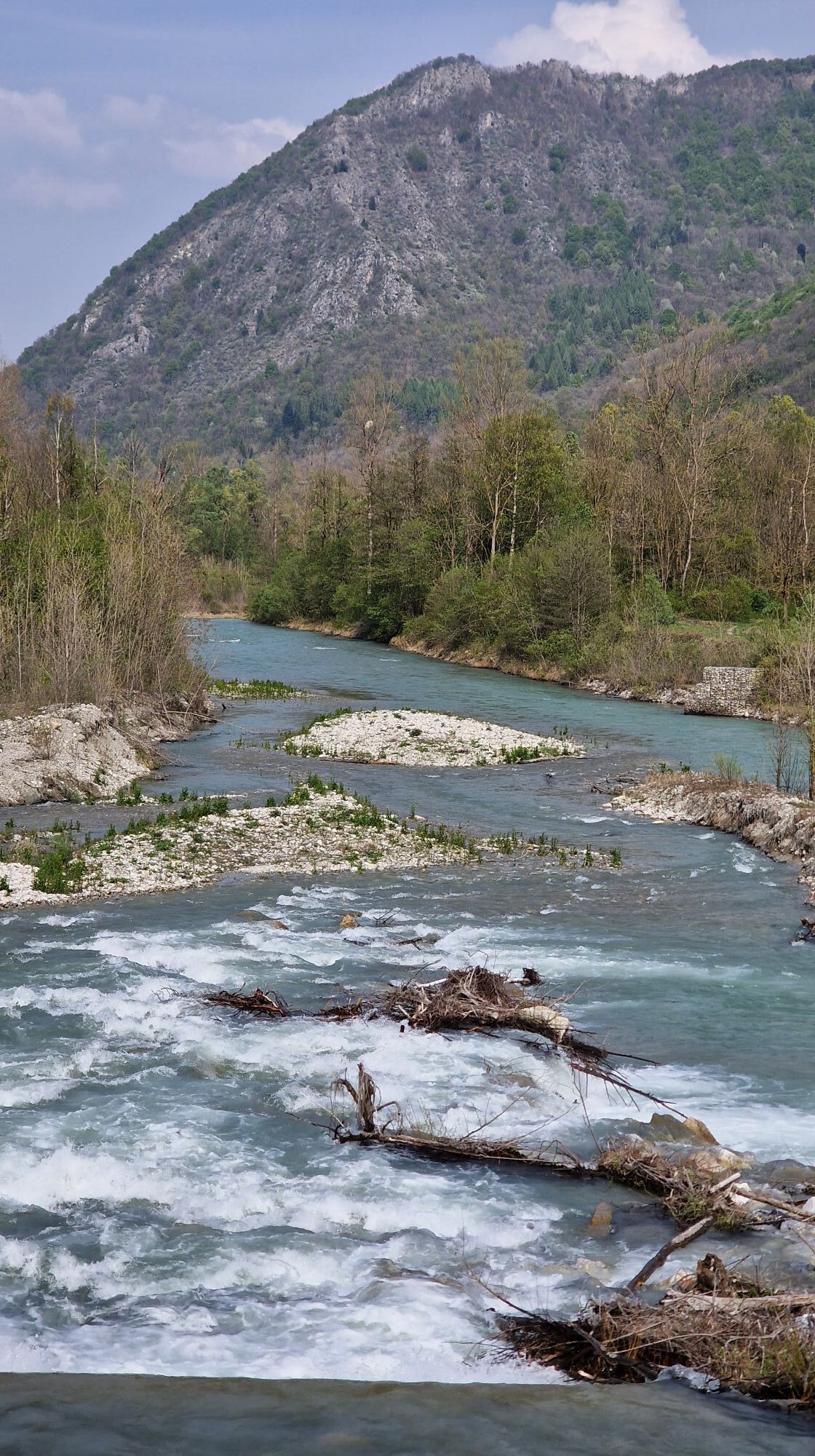
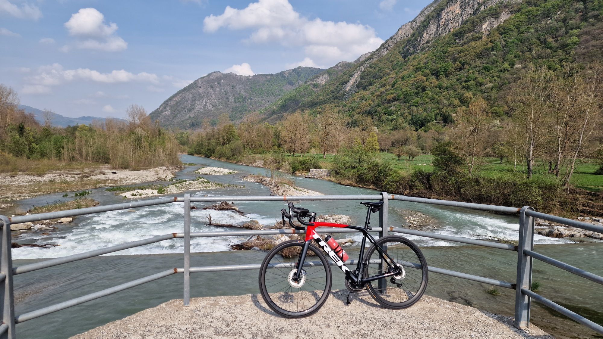
Fotografie našich používateľov

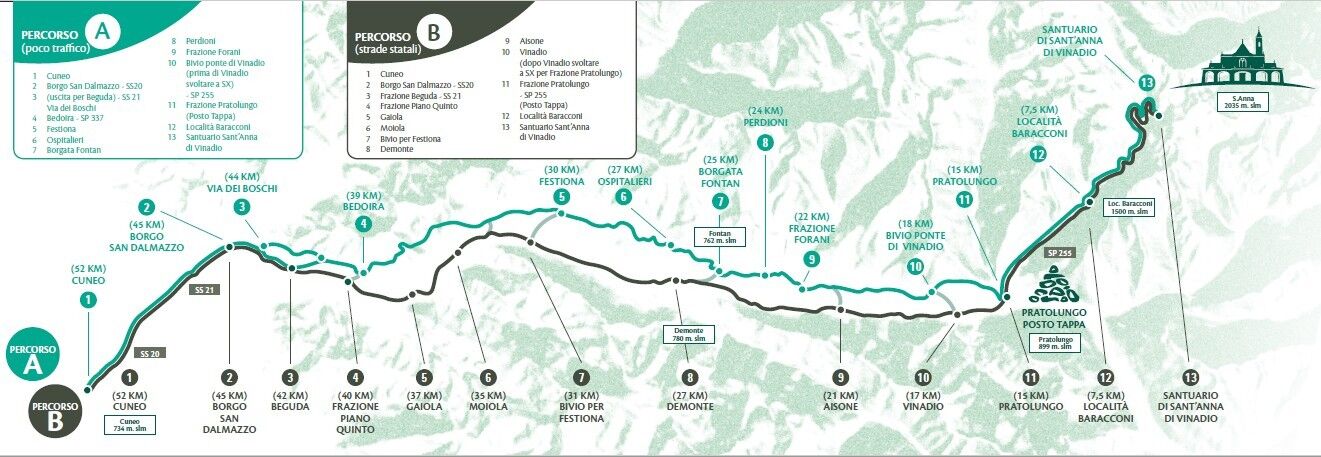
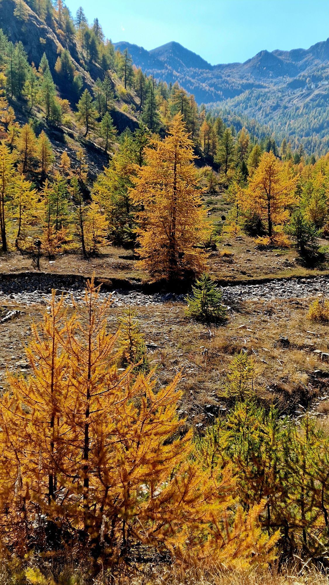
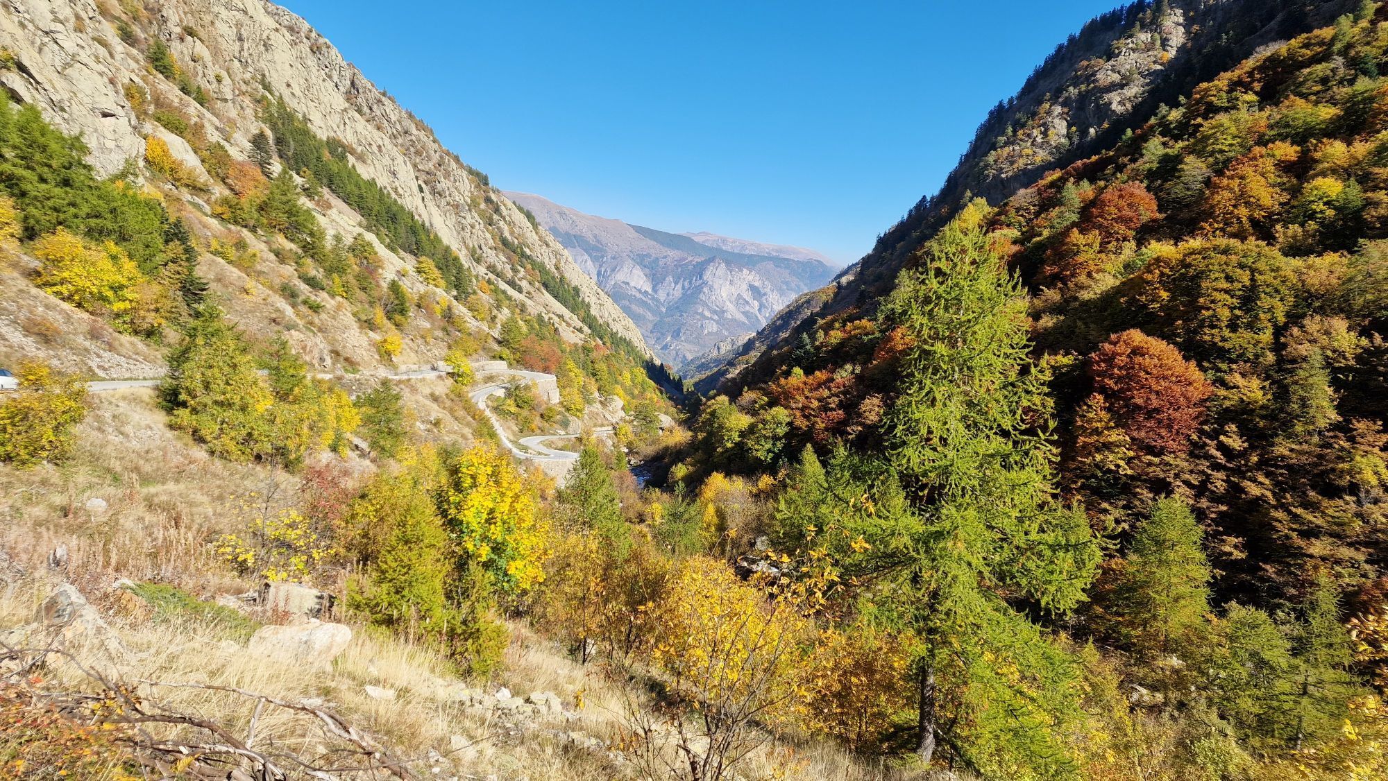
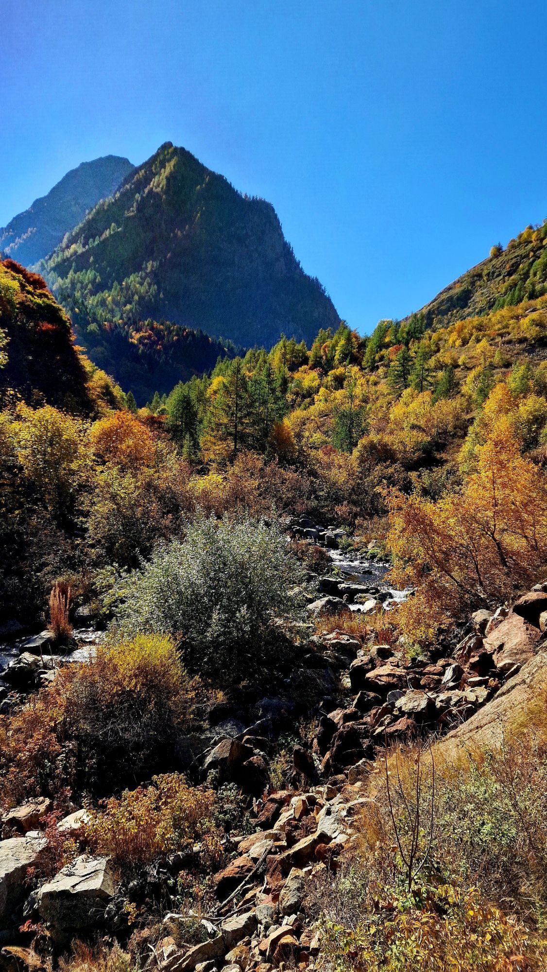
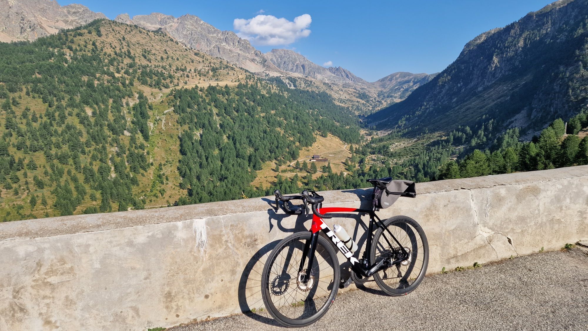
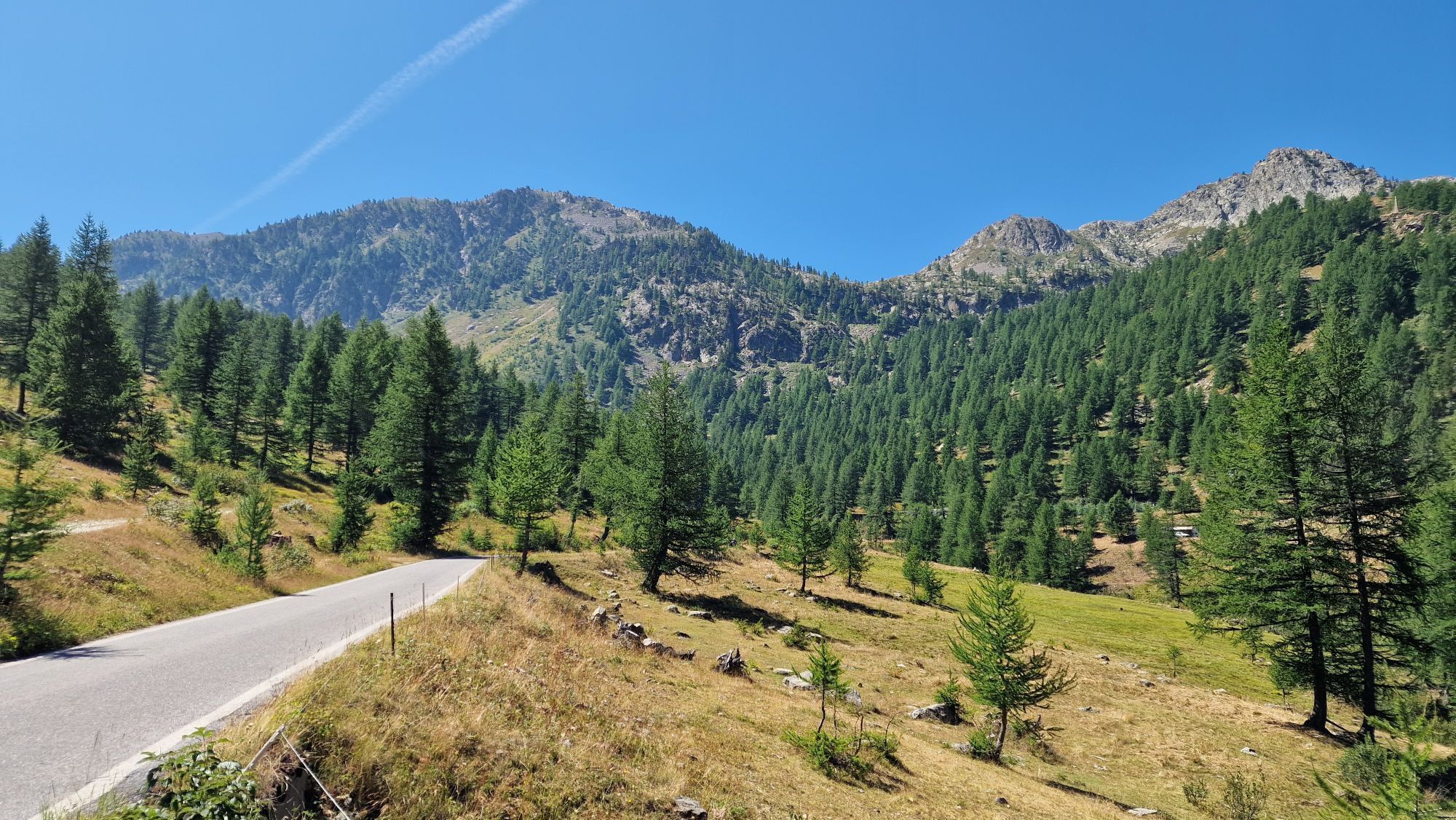
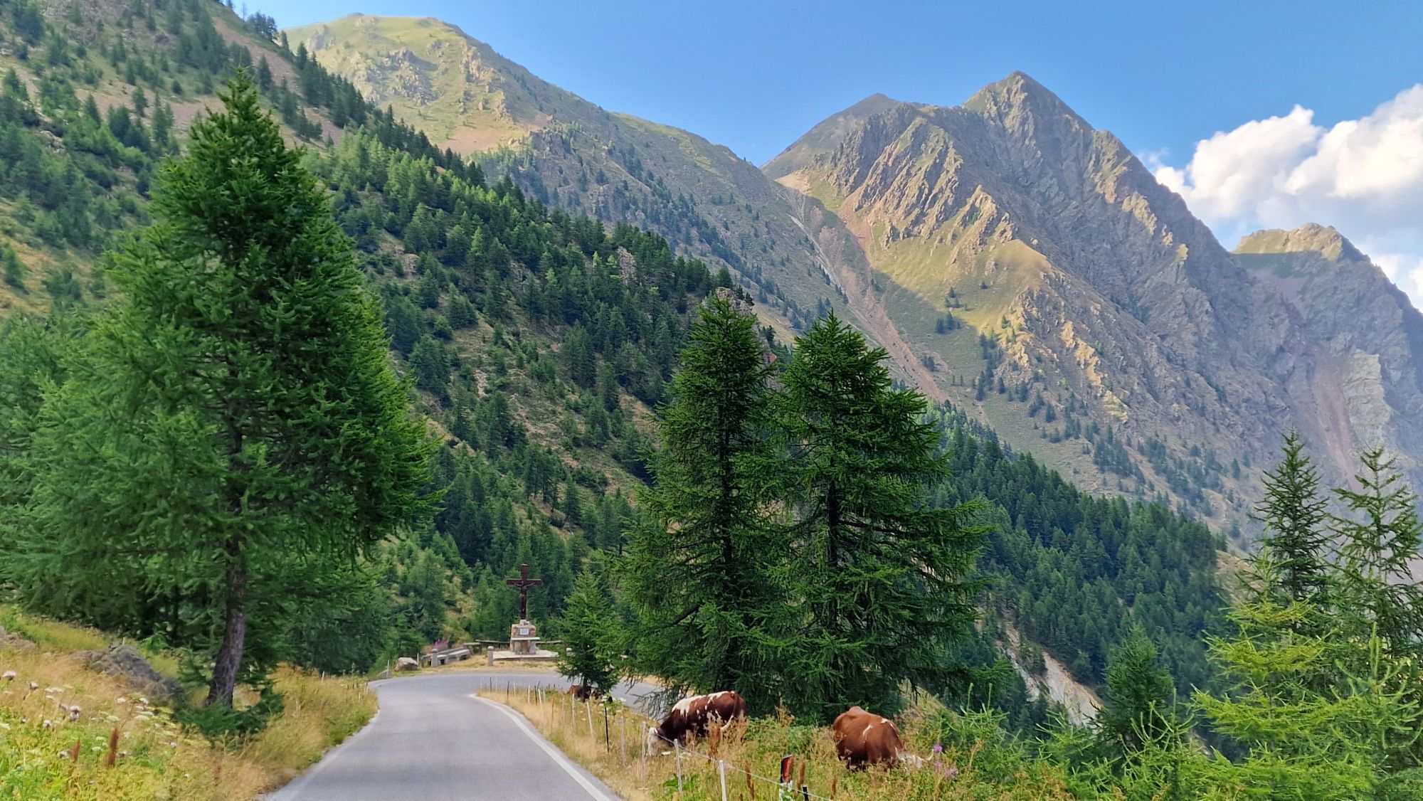
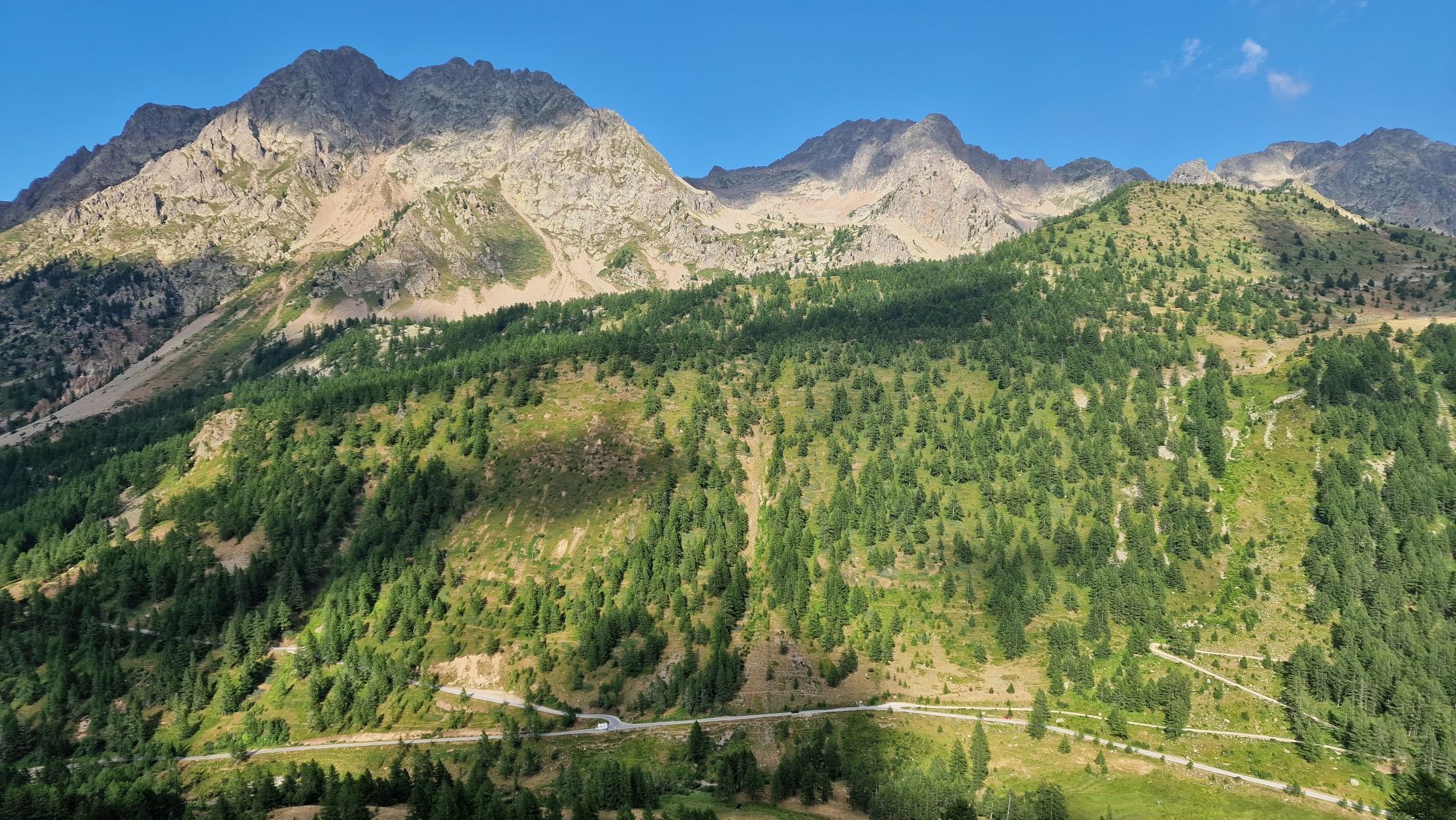
The route is completely marked from the departure from Cuneo railway station (and alternatively also from Piazza Torino - bus arrival point) to the end, with white and red signposts bearing the Cammino...

Opis

The route is completely marked from the departure from Cuneo railway station (and alternatively also from Piazza Torino - bus arrival point) to the end, with white and red signposts bearing the Cammino logo, metal supports, signs and plaques on the hiking poles. The colours change to blue and yellow only on the final ascent because the route coincides with the existing traditional path.

The bike route includes some variants to the hiking route, in order to avoid paths or slopes that are not suitable for pedalling and no-entry roads. In these alternative sections, there are no signs or arrows indicating the route, so it is essential to use the Gpx track. These indications in a single stage from Cuneo to the Sanctuary can be personalised: most of the height difference is in the last 15 km and the seasonal period of use may vary depending on whether or not you choose to go as far as the Sanctuary.

Trasa
Cuneo
(534 m)
Mesto
1,3 km
Parrocchiale Sant'Antonio Abate
(674 m)
Miesto uctievania
16,1 km
Parrocchiale di San Giovanni Battista
(699 m)
Miesto uctievania
25,1 km
Cappella di San Membotto
(671 m)
Miesto uctievania
26,0 km
Chiesa di San Donato
(779 m)
Miesto uctievania
36,8 km
Parrocchiale di Santa Maria
(819 m)
Miesto uctievania
45,9 km
Posto Tappa
(2 021 m)
Úkryt
68,3 km
Trasa
Mapa
St. Anne's Way
ťažké
Mountainbike
68,38 km
Basse Sant'Anna - Borgo Nuovo
(506 m)
Zúčtovanie
0,4 km
Cuneo
(534 m)
Mesto
1,3 km
Cappella Sant'Andrea
(620 m)
Miesto uctievania
9,7 km
Borgo San Dalmazzo
(639 m)
Mesto
11,0 km
San Dalmazzo
(632 m)
Miesto uctievania
11,1 km
Chiesa della Confraternita di Santa Croce
(633 m)
Miesto uctievania
11,2 km
Chiesa di San Magno
(637 m)
Miesto uctievania
11,3 km
Beguda
(668 m)
Dedina
14,1 km
Parrocchiale Sant'Antonio Abate
(674 m)
Miesto uctievania
16,1 km
Roccasparvera
(679 m)
Dedina
16,1 km
Confraternita di San Sebastiano
(675 m)
Miesto uctievania
16,2 km
Madonna delle Grazie
(694 m)
Miesto uctievania
16,6 km
Castelletto
(707 m)
Dedina
18,1 km
Chiesa di San Maurizio
(707 m)
Miesto uctievania
18,4 km
Cappella di San Rocco
(707 m)
Miesto uctievania
18,5 km
Cappella di San Bernardo
(771 m)
Miesto uctievania
20,0 km
Gaiola
(698 m)
Dedina
20,6 km
Maria Vergine Assunta
(715 m)
Miesto uctievania
20,7 km
Braida
(775 m)
Zúčtovanie
21,6 km
Frazione Gaietto
(727 m)
Zúčtovanie
23,6 km
Moiola
(695 m)
Dedina
24,9 km
Parrocchiale di San Giovanni Battista
(699 m)
Miesto uctievania
25,1 km
Cappella di San Membotto
(671 m)
Miesto uctievania
26,0 km
Frazione Maigre
(697 m)
Zúčtovanie
27,0 km
Ruà Sottana
(713 m)
Zúčtovanie
29,4 km
Festiona
(757 m)
Dedina
30,0 km
Tetti Vescovo
(733 m)
Zúčtovanie
32,1 km
Torre
(761 m)
Zúčtovanie
32,3 km
Sant'Anna di Rialpo
(757 m)
Dedina
32,4 km
Medich
(755 m)
Zúčtovanie
32,6 km
Cornaletto Sottano
(824 m)
Zúčtovanie
34,8 km
Ristorante Moderno
(770 m)
Reštaurácia
36,7 km
Chiesa di San Donato
(779 m)
Miesto uctievania
36,8 km
Chiesa della Confraternita di Santa Croce
(778 m)
Miesto uctievania
36,9 km
Demonte
(775 m)
Dedina
36,9 km
Fedio Sottano
(944 m)
Zúčtovanie
39,2 km
Fedio Massolo
(994 m)
Zúčtovanie
40,0 km
San Marco e San Grato
(857 m)
Miesto uctievania
43,0 km
Frazione San Giuseppe
(817 m)
Zúčtovanie
45,3 km
Aisone
(846 m)
Dedina
45,7 km
Parrocchiale di Santa Maria
(819 m)
Miesto uctievania
45,9 km
Goletta Sottana
(843 m)
Zúčtovanie
47,3 km
Goletta
(853 m)
Zúčtovanie
49,0 km
Vinadio
(904 m)
Dedina
50,9 km
Chiesa di San Fiorenzo
(916 m)
Miesto uctievania
51,2 km
Pratolungo
(918 m)
Dedina
53,8 km
Roviera
(905 m)
Dedina
54,2 km
Frazione Puà
(1 029 m)
Zúčtovanie
55,5 km
Posto Tappa
(2 021 m)
Úkryt
68,3 km
Santuario di Sant'Anna di Vinadio
(2 019 m)
Miesto uctievania
68,3 km
Informácie o prehliadke

The route is completely marked from the departure from the Cuneo railway station (and alternatively also from Piazza Torino - bus arrival) to the arrival, with white and red trail markers bearing the Cammino logo via stickers on metal supports, signs and plaques on the poles hiking. Only on the final climb do the colors become blue and yellow because the route coincides with the already existing traditional route. The bike route includes some variations compared to the hiking route, to avoid paths with non-cyclable surfaces or slopes and one-way roads. In these alternative sections there are no signs or indicator arrows, it is therefore essential to use the GPX track. These directions in a single stage from Cuneo to the Sanctuary can be customized: most of the difference in altitude is in the last 15km and the seasonal period of attendance may vary depending on whether or not you choose to go all the way to the Sanctuary.

Technológia
n.a.
Stav
5 / 6
Krajina
n.a.
Skúsenosti
n.a.
Najlepšie ročné obdobie
Jan
Feb
Mar
Apr
Máj
Jún
Júl
Aug
Sep
Okt
Nov
Dec
Zdieľať prehliadku
Mapa
St. Anne's Way
ťažké
Mountainbike
68,38 km
Chyba
Vyskytla sa chyba. Prosím, skúste to znova.
Informácie o trase
Jednosmerná prehliadka

Áno

Bezpečnostné pokyny

Attention must be paid to the transit of motor vehicles.

Ďalšie informácie a tipy
Tipy

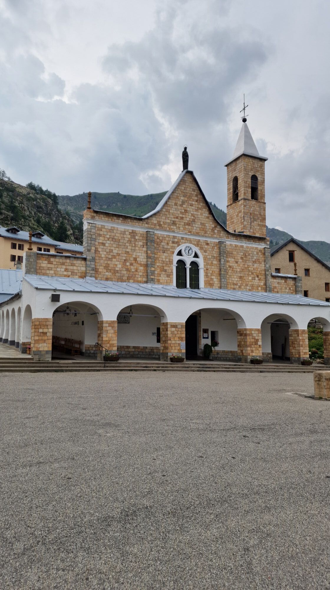
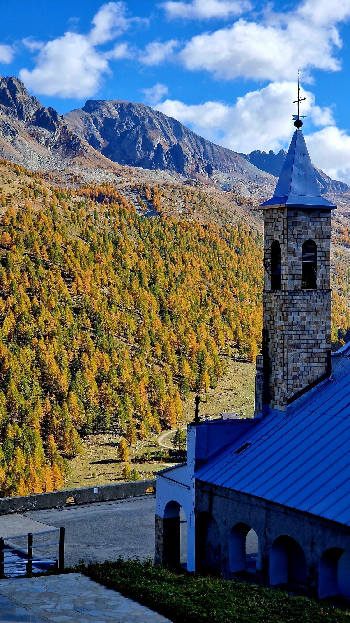
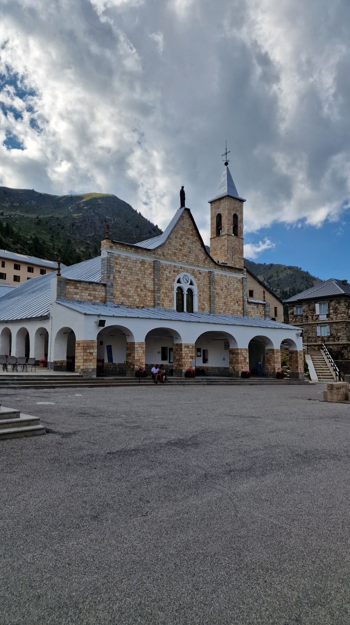
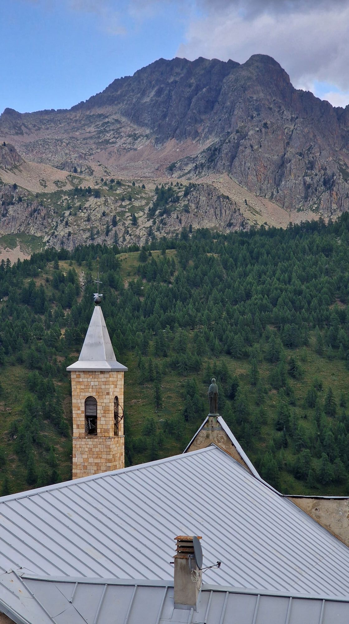
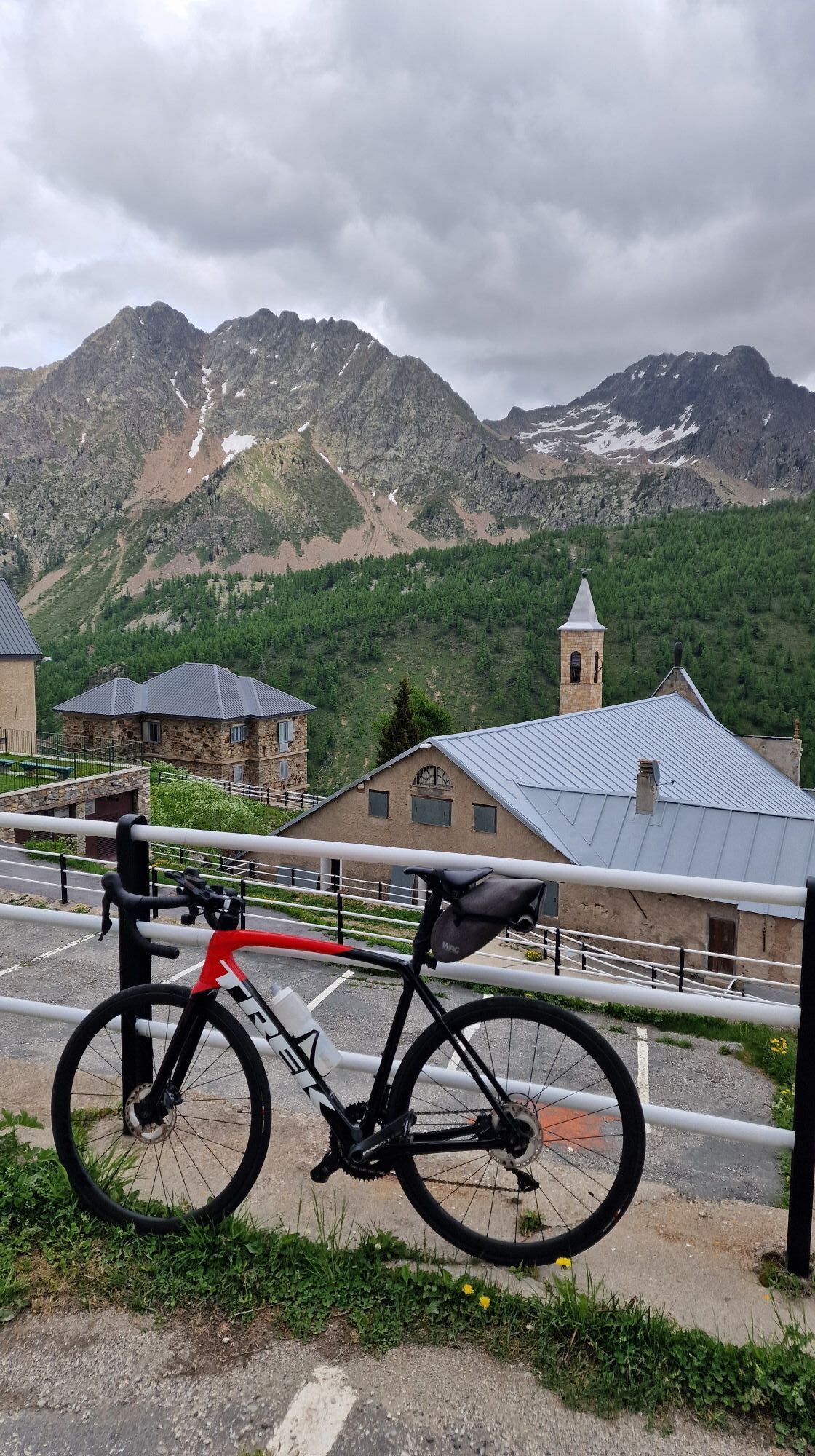
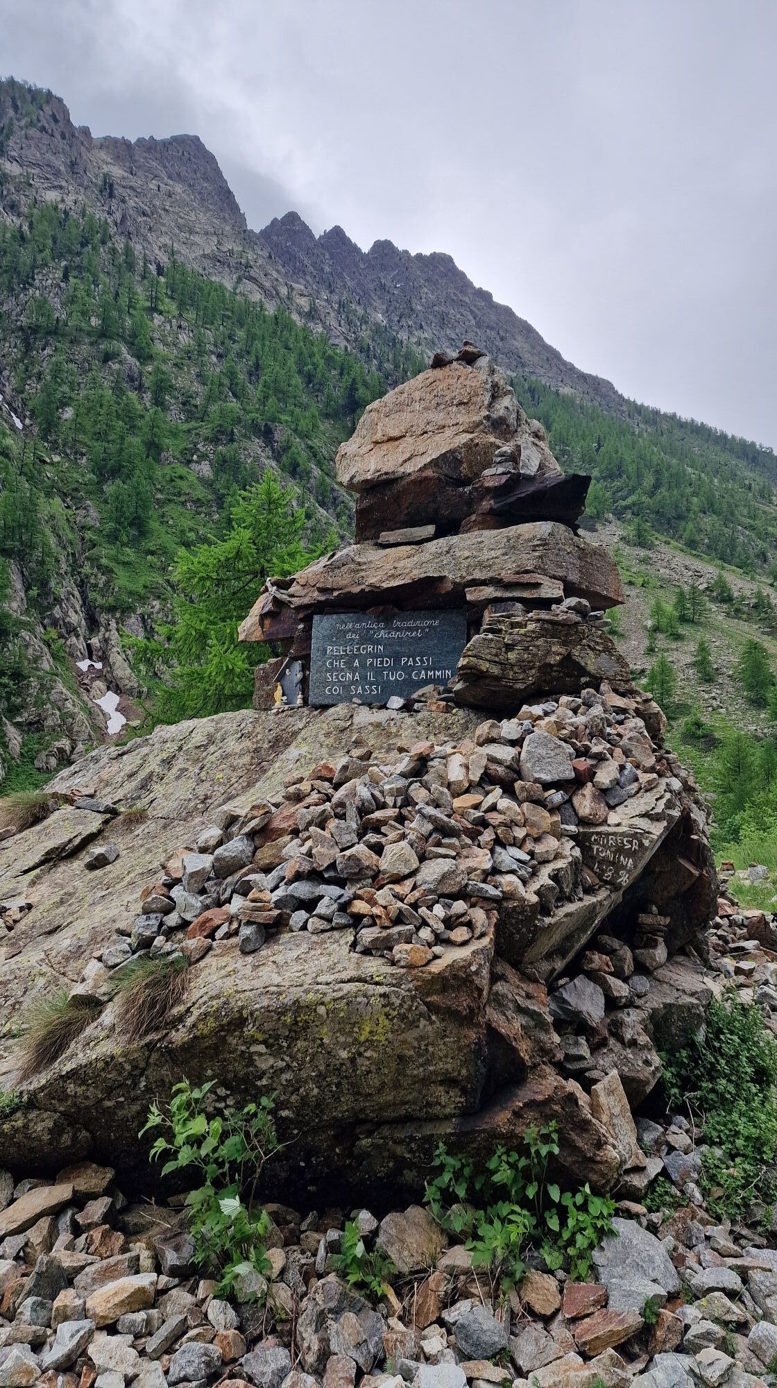
The Cammino di Sant'Anna is a religious route linked to the saint to whom the Sanctuary is dedicated, which was built in the homonymous valley, in Valle Stura, at an altitude of 2035 m.>br /< The place of worship was established between the 11th and 12th centuries as a hospice for wayfarers and dedicated to St. Maria di Brasca. Between the 15th and 16th centuries, the complex was dedicated to St. Anna. In 1681, the new church was inaugurated, of the same size as the current one and with a craggy wooden floor.>br /< Being a pilgrimage destination, the church complex is equipped with dormitories and a refreshment point.>br /< At Pratolungo, there is a stage post dedicated to the walk.>br /< There are numerous accommodation facilities and places to eat along the route, as well as e-bike rental services and tourist operators offering outdoor activities such as rafting, rivertrekking, climbing and cycling itineraries.

Zatiaľ žiadne recenzie
Napíšte recenziu

Recenzie pomáhajú ostatným používateľom vybrať si ďalšie dobrodružstvo. Prosím, hodnoťte len prehliadku, nie počasie alebo občerstvenie.

Vyberte jednu z hviezdičiek a ohodnoťte prehliadku
Zlé turné
Slabé turné
Priemerné turné
Dobrá prehliadka
Vynikajúca prehliadka

Webové kamery z prehliadky

bergfex logo Získajte prehľad Vždy naživo na mieste s viac ako 9 500 webovými kamerami. bergfex Ako používateľ Pro si teraz môžete pozrieť príslušné webové kamery pre mnohé zájazdy v aplikácii zájazdy z. Môžete si tak priamo prezerať aktuálne podmienky.
Turistika a stopovanie

Turistika a stopovanie

Turistika a stopovanie
Viac ako 550.000 návrhov výletov, podrobné mapy a intuitívny plánovač trás robia z aplikácie povinnú výbavu pre všetkých nadšencov prírody.
bergfex