






Here is the Route 45 of Monferrato

We call it Route 45, because it is a tribute to the 45° North parallel, which crosses much of this hilly area of Monferrato (UNESCO heritage) at six different points, repeatedly placing the cyclist halfway...
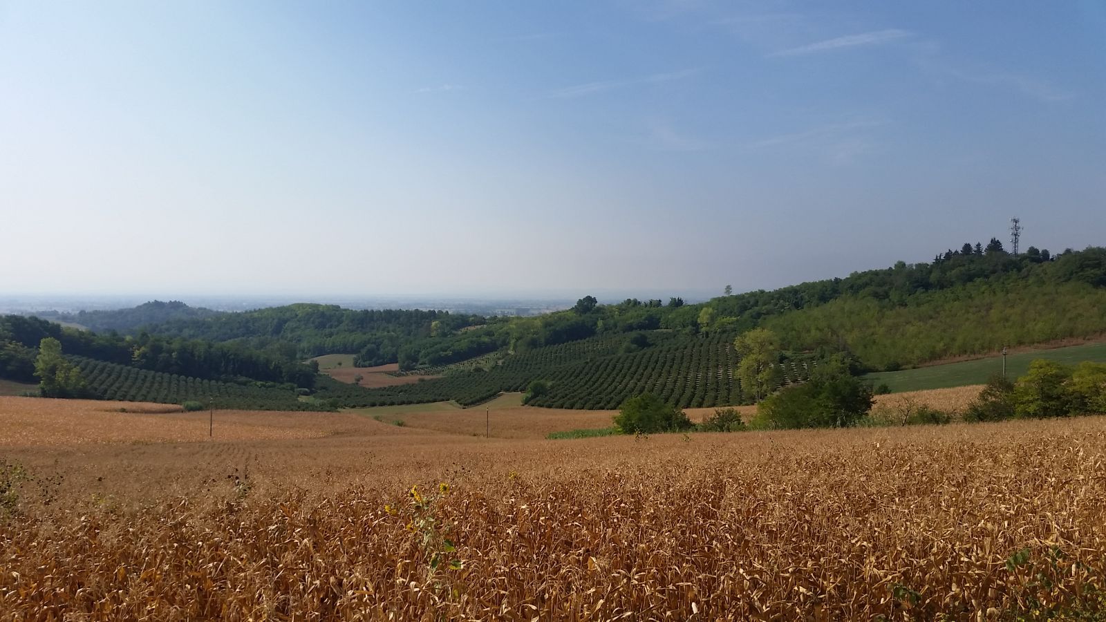
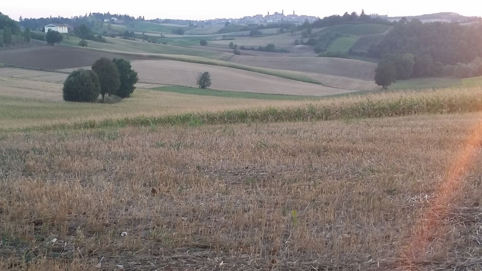
We call it Route 45, because it is a tribute to the 45° North parallel, which crosses much of this hilly area of Monferrato (UNESCO heritage) at six different points, repeatedly placing the cyclist halfway between the North Pole and the Equator! The loop route is a balanced combination of rapid hill ascents and descents where cultural elements, natural aspects, and suggestive panoramas are never missing: so, to say it as we like, the circle, or rather the circles, close. The circuit, 24.90 km long, reaches a maximum altitude of 247 meters, a minimum of 123 meters, total ascent 561 meters, descent 559 meters. Some sections are surrounded by farmhouses and vineyards, and it will not be difficult to encounter some tractors here and there, further demonstrating the strongly agricultural and rural vocation of the local community dedicated to farming.


The start of the route is from one of the oldest palaces in San Salvatore Monferrato, namely Palazzo Carmagnola located in the square of the same name in the town.
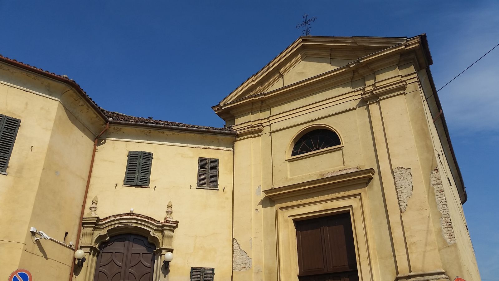
After a short uphill stretch on via Prevignano, we will pass by the parish church of San Martino (15th century) and then, following the route, we will pass alongside the church of San Siro (16th century) on our right.
After about 700 meters from the start, we turn left onto via Camurati where, near Villa Lingua – former headquarters of the general staff during the second war of independence – a gravel descent begins that will bring us to the secondary road connecting San Salvatore to Alessandria, the lowest point of the route itself.
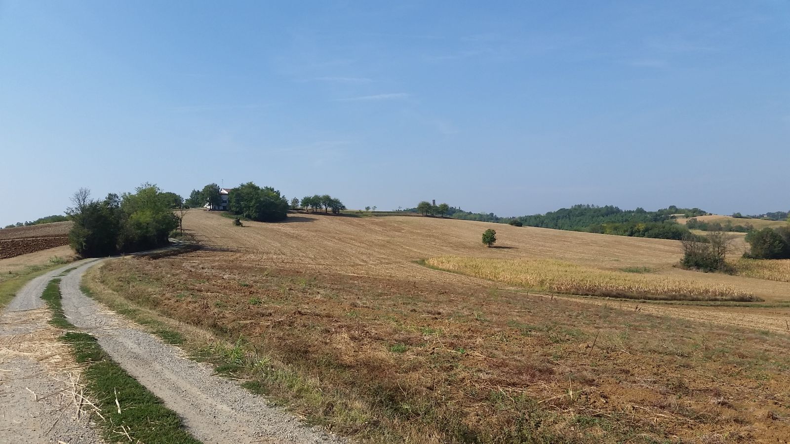
Within a few minutes, the scenery changes drastically, moving from the urban context to gravel roads, green hills, and poplar groves but... the climb is right there, ready to meet us immediately around the corner, to reclaim its 'hunger' for effort and its typical hill fame of Monferrato.
After almost 2 km of gravel hill paths immersed in nature, we return briefly into the town to take a new road that leads to the Sanctuary of Madonna del Pozzo (km 3.930), a small oasis of peace surrounded by greenery where it is possible to rest a little and enjoy the magnificent view of the green hills that slope towards.
Resuming the uphill route towards the village of Frescondino, it will be possible again to admire the valley towards the Po river from one of the highest points of the entire route and, immediately after, turning left towards the village of Valparolo (at km 5.740), we will cross the first of the six points crossed by the 45° parallel (km 6.080).
We will leave the village of Valparolo after a long paved descent surrounded by countryside and once arriving at the provincial road towards Valenza (km 7.670) we will turn first right and after 200 meters left towards the village of Fosseto.
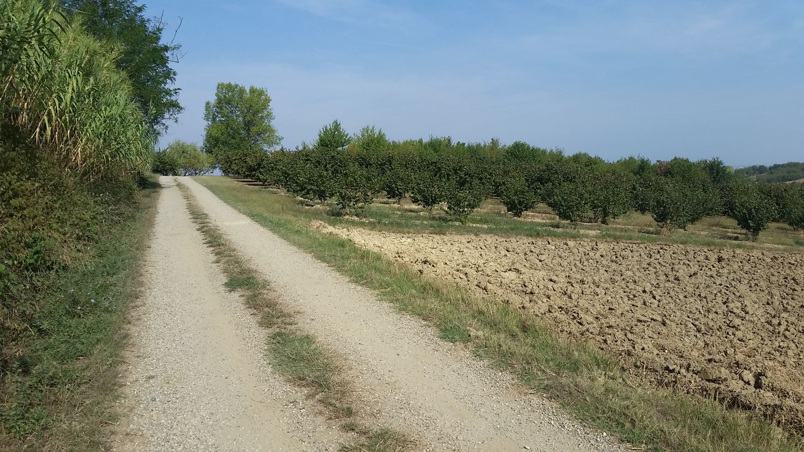
After almost 400 meters, a new gravel uphill road surrounded by vineyards and orderly fields awaits us, and at km 9.990 (at the aqueduct sign) we will find a new crossing point of the 45° parallel.
At the end of the gravel road, we will be ready to take again the paved road leading to the center of San Salvatore, that is the same piazza Carmagnola from where we started and where we can refresh and gather new energy for the second half of the route.
From the town center (km 11.200) we will take via Panza heading to Casale Monferrato and, passing to the left of a long wall along the road, we will turn left onto via Suanno, proceeding until the end of the descent.
Leaving via Suanno behind us, we will turn right and travel a long uphill stretch at the end of which (km 12.400) we will find ourselves on via Frascarolo (the road connecting San Salvatore Monferrato to Lu) and at the stop sign turn left towards Lu: worth noting that to the right of the stop is another votive chapel.
The next 500 meters towards, will be traveled on the hill crest, a true watershed between the South side—towards the Alessandria plains on the left—and the hills of Casale Monferrato on the right—behind which, on clear days, the Maritime Alps chain will be clearly visible.
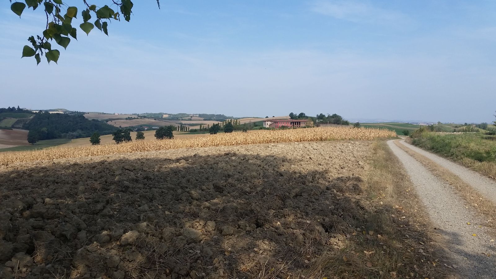
Exactly 100 meters before a beautiful orange house on the left, we will travel a long stretch in open countryside, a genuine and suggestive happily desolate land, within which the village of Lu Monferrato will serve as a backdrop along with expanses of hazelnut groves on one side and vineyards on the other.
After about 1100 meters, just before a farmhouse on the left, we will cross the North parallel for the third time and shortly after, at a junction after 200 meters, turn right onto a dirt road.
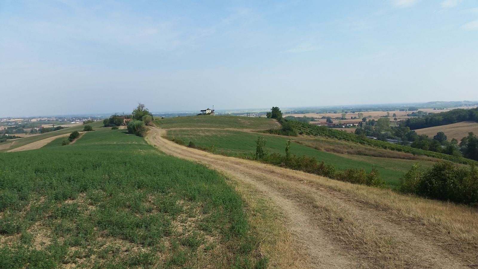
The view towards the Alps and the hills, besides being unparalleled, rewards any effort to reach this point and after passing to the left of a small hut with the Italian flag on the roof, we will arrive at a small group of houses, Valdolenga, a hamlet with a strongly rural character.
At this point (km 15.400) we will take a steep descent to the right and, after the motorway underpass, turn right traveling the entire road until its uphill end. In this last stretch, the 45° parallel will be crossed again at km 17.200.
Once at the top of the climb, we will turn left to continue straight ahead and return to San Salvatore Monferrato.
At the first stop (km 19.00) we will notice on our left the presence of the old Santa Croce hospital (15th century) and turning first left towards Casale Monferrato, then right (after 100 meters) towards via Sottotorre, we will reach the park of the very famous Paleologi tower (15th century) with the characteristic pear-shaped hole, following the vertical signage.
In the equipped park of the tower, besides seeing the surrounding landscape from another viewpoint, it will be possible to gather strength and refill water bottles to prepare for the last splendid section of the route.
Once at the top of the hill, where the historic tower stands, it will be possible to take the only paved road leaving from behind the tower to return (after about 400 meters) again to the original track and, at the end of the descent (km 19.900), turn left onto a gravel stretch on strada Molinara.
The route goes straight and 300 meters from the start of Strada Molinara it crosses again the 45° parallel for the fifth time. Near this point, skirting to the left a well-known farm stay in the town, we will follow the natural continuation of the gravel road descending to the right.
This last stretch of gravel (and then dirt) road through nature ends after almost 2 km at another low point of the route and once we reach the paved road again (km 21.8), we will turn left towards the Fosseto village.
Taking another left turn after 600 meters, we will follow the normal road signs indicating San Salvatore Monferrato, town we will reach for the final stop (in the town center) after almost 2.5 km, not before crossing the 45° parallel for the last time at km 24.200. Ivan Reitano
Always wear a helmet, even when it is not mandatory. Before starting, always inform someone about your chosen itinerary, if possible bring a GPS and a mobile phone, a bottle always full of water, and if the distance is demanding, plan for a snack/energy bar as backup. Dress appropriately. It’s better to always wear layers and have a rain and windproof poncho handy in the jersey pocket. Always wear cycling shorts with padding. Comfort is essential to enjoy and better appreciate the spectacle of a journey.
The circuit is 24,90 Km reaches a maximum altitude of 247 meters, a minimum of 123 meters, total ascent: 561 meters, 559 meters difference in height
Stages of the route and points of interest:
San Salvatore Monferrato: Church of San Martino (15th century), Church of San Siro (16th century); Palazzo Cavalli di Germano (18th century), Palazzo Carmagnola (15th century); Paleologi Tower (15th century); Sanctuary of Madonna del Pozzo (17th century); Santa Croce Hospital (15th century)
Frescondino; Valparolo, Valdolenga.
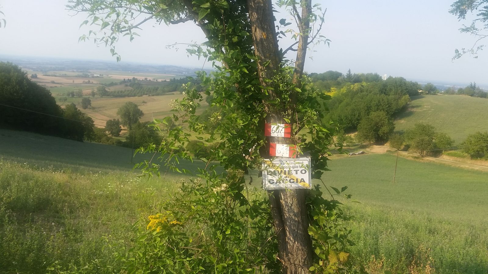
Notes on signage: the existing signage is faithful to the description of the route here (source Piemontescape.com), but it is always advisable to rely on a knowledgeable local guide who can be updated on any changes to the route conditions that may differ from the time when surveys and updates were made.
Obľúbené výlety v okolí
-
Sentiero le Vecchie Fonti - Sentiero 860 in camminata
Pútnická trasa 14,4 km -
Sentiero le Vecchie Fonti - Sentiero 860 in mountain bike
Mountainbike 14,4 km -
Alessandria & Borsalino: the places associated with the great Italian fashion brand
strednáMountainbike 30,6 km -
Cycling the lands of San Giovanni Bosco
strednáMountainbike 61,7 km -
Sentiero Pecetto - Bric Montalbano - Sentiero 623 in mountain bike
Mountainbike 8,72 km -
Sentiero 801 - Anello di Valle S. Bartolomeo in camminata
Pútnická trasa 8,09 km -
Sentiero Vignale - San Lorenzo - Sentiero 732 in mountain bike
Mountainbike 9,67 km -
Sentiero Vignale - San Lorenzo - Sentiero 732 in camminata
Pútnická trasa 9,67 km -
Sentiero la strada di Napoleone - Sentiero 607 in camminata
Pútnická trasa 17,0 km -
Sentiero Santuario Madonna del Pozzo - Pieve di San Giovanni - Sentiero 602 in mountain bike
Mountainbike 10,5 km
Turistika a stopovanie


Nenechajte si ujsť ponuky a inšpiráciu na ďalšiu dovolenku
Vaša e-mailová adresa bol pridaný do poštového zoznamu.





