







Libarna and Alto Monferrato by bike

A suggestive medium difficulty itinerary to discover Alto Monferrato and its historical and cultural testimonies. Starting from the archaeological site of the ancient Roman city of Libarna, you cycle towards...
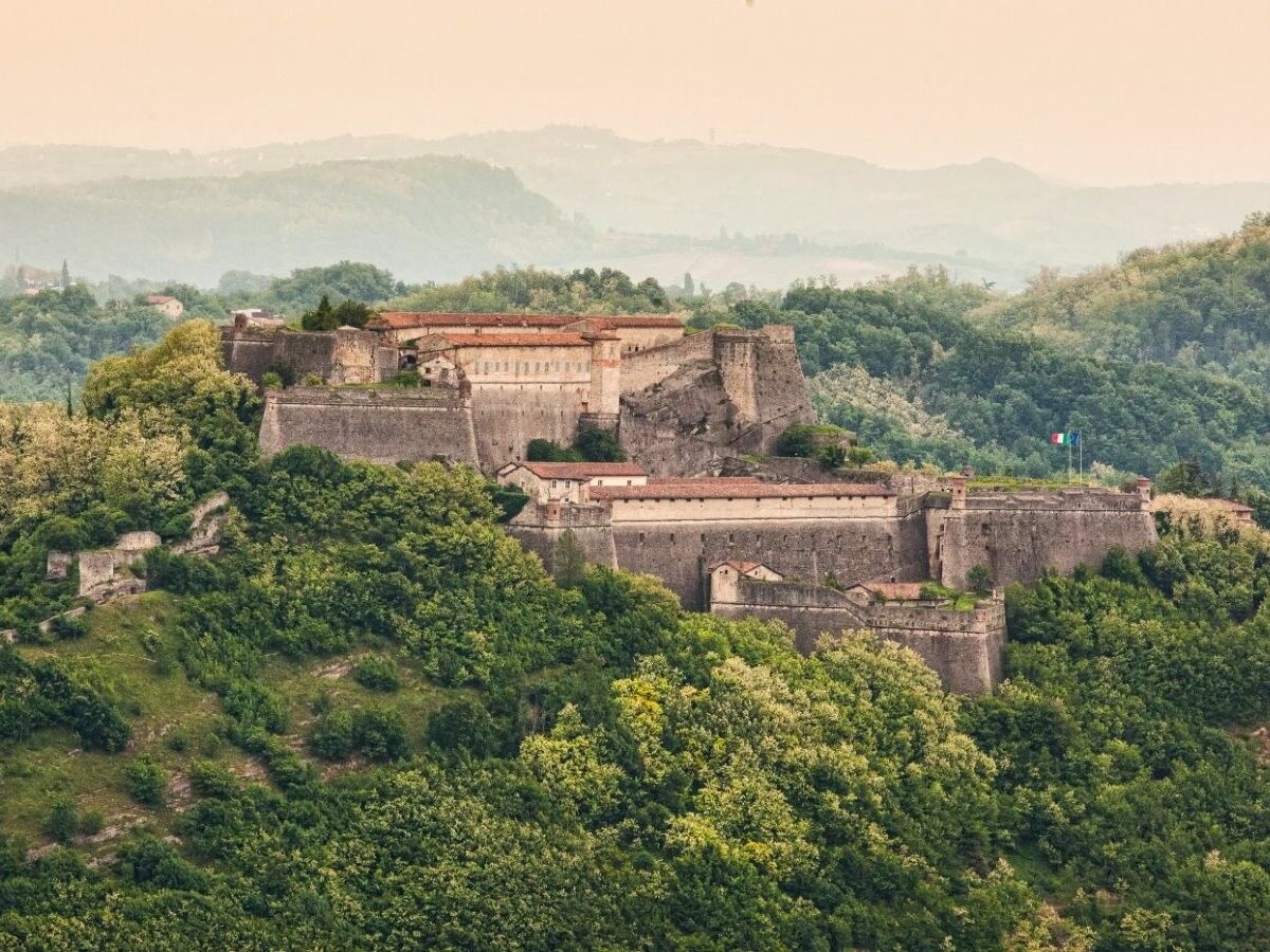
A suggestive medium difficulty itinerary to discover Alto Monferrato and its historical and cultural testimonies. Starting from the archaeological site of the ancient Roman city of Libarna, you cycle towards Gavi, a beautiful town known for producing the famous wine, Gavi, which takes its name from here. A must-see is the visit to the Gavi Fortress, a majestic fortress of millenary origin reachable by bike, from which you can enjoy the surrounding panorama. The itinerary crosses the town of Voltaggio, a village with typical Ligurian features, which hosts the Capuchin friars' Art Gallery. The route continues to Arquata Scrivia and then finishes at Serravalle Scrivia, also known for its famous outlet.

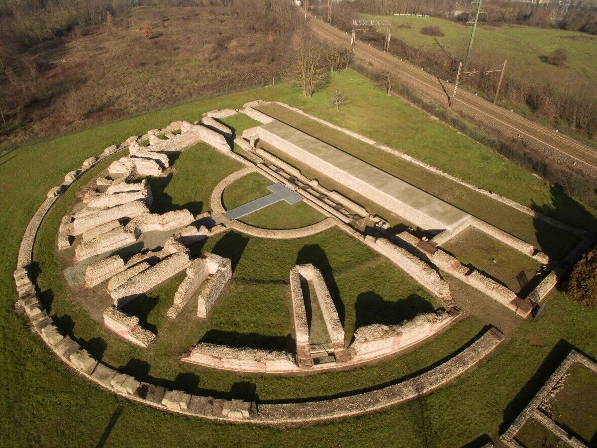
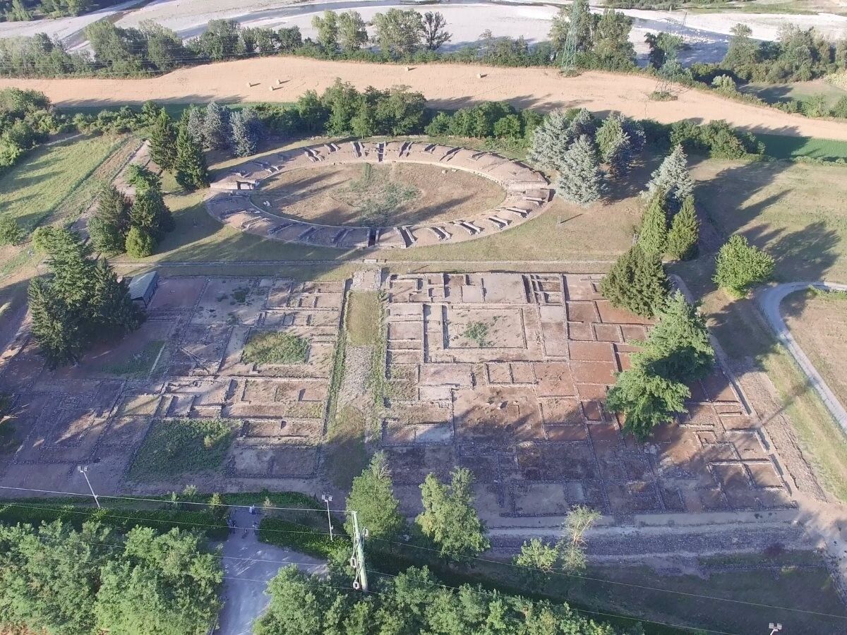
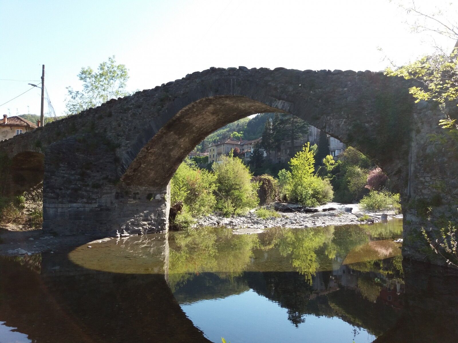
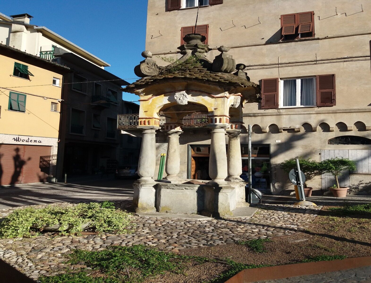

Starting from the parking lot of the very famous archaeological site of Libarna (prestigious site of Roman origin), turn right towards Serravalle Scrivia and continue straight after the first roundabout to reach the first traffic light (1.5 km). Following the road alongside the railway tracks, you will pass a second traffic light, and at 2.2 km turn left, then turn right again heading towards Alessandria at the third traffic light (2.3 km).
At this point, you will follow the main road crossing Serravalle until a final intersection (3.0 km), where you will follow the road sign indicating the town of Monterotondo. Leaving the urban area behind, you will start an uphill ride surrounded by beautiful vineyards, and at 4.7 km follow the road sign pointing to Monterotondo on your left to finally reach the small village (6.7 km), which you will cross completely.
After turning left towards Gavi (7.2 km), you will face a rather challenging section until 10.5 km, where you will meet the road that shortly leads to Gavi (turn right), a town universally known for producing the famous wine named after the town itself.
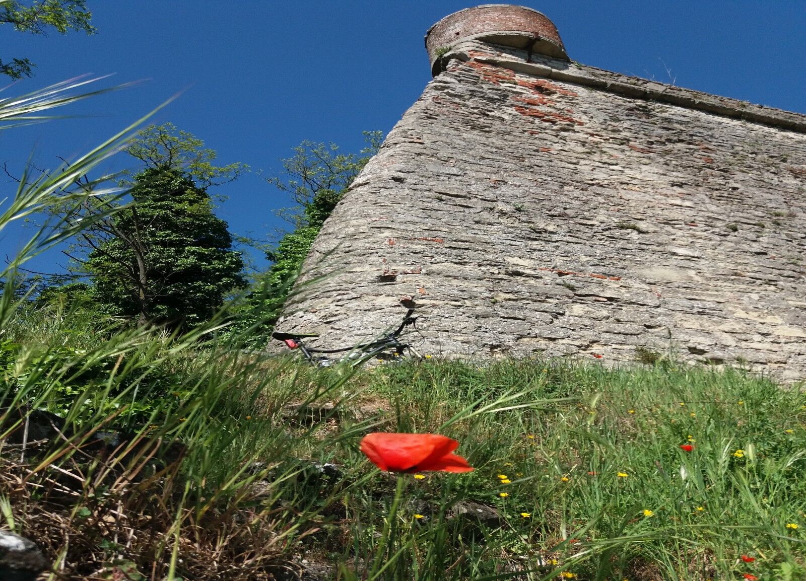
Just before entering the town, after about 400 meters, you will find on your right a detour towards the Gavi Fortress (historical fortress of millenary origin) from where, for those wishing to reach the fortress, it will be possible to enjoy a splendid view of the surrounding hills.
Once inside Gavi and after crossing the square, take and follow all of Via Garibaldi until you reach (11.8 km) the signs indicating the towns of Mornese, Bosio, and Parodi. Passing along Via delle Confraternite and Vico Portino (where you will find a well-preserved medieval fort), continue following the signs towards Bosio and Mornese, and at 15 km you will arrive at the small hamlet of Alice di Gavi.
Following the main road crossing the entire village, at a certain point (16.4 km) follow the indication to turn left towards Carrosio, and after crossing a small bridge, you will face a challenging section of about 4 km before turning right towards Voltaggio (20.2 km).
The small town of Voltaggio, a village with typical Ligurian features, is almost another 4 km away, and once you arrive at the town entrance (24.3 km at a fork), continue for another kilometer towards Genoa along the main road that runs alongside the village.
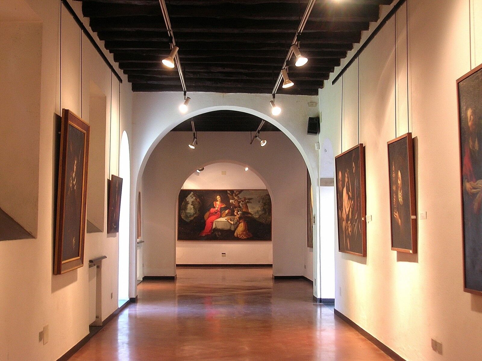
At a roundabout (25.7 km), turn right onto the first road that will allow you to get closer to the characteristic town of Voltaggio along with its art gallery, churches, palaces, and oratories (the famous and wonderful Capuchin Art Gallery is located just before the bridge on the right).
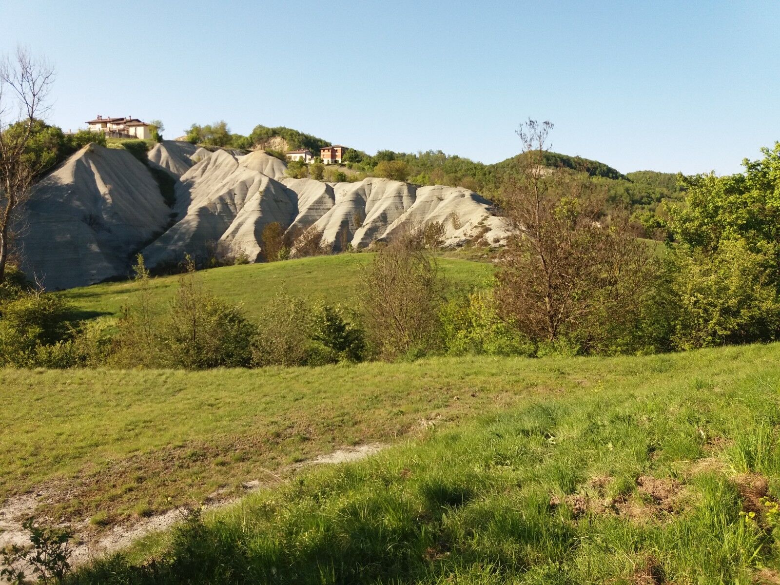
Crossing the town from south to north (Via de Rossi, Via Roma, and Corso Mazzini), retrace the previously traveled road towards Carrosio (27.2 km). At 31.0 km near Carrosio, follow the right indication leading to the small hamlet of Sottovalle, from where begins the most challenging uphill section of the entire route, immersed in a wonderful natural setting characterized by numerous gullies in this area.
Never leaving the main road and after crossing the hamlet of Sottovalle, you will reach a flat stretch (39.4 km) on the road which, turning left, will lead you to Arquata Scrivia. The Medieval Gothic House visit is recommended. Entering the town (41.9 km), continue to stay on the main road following the signs to Serravalle Scrivia/Alessandria, along the town route for about 2 km.
Finally, always following the signs towards Serravalle Scrivia and with the town of Arquata behind you (for a couple of km you will retrace the same path of the ancient Via Postumia), you will return to the starting point on your right, about halfway between Arquata and Serravalle Scrivia.
Author Ivan Reitano
It should be noted that the routes may include sections shared with vehicular traffic.
Archaeological area of the ancient Roman city of Libarna: for information and reservations visit the websites www.libarna.al.it and www.scoprilibarna.it
Arquata Scrivia: Gothic House (14th century) with a permanent exhibition of nativity scenes and dioramas: for information and reservations visit the website www.arquatorpresepi.eu or call 339 314 6346 (Mr. Alfredo Bossi)
Gavi: Historic fortress of Gavi (10th century). For information and reservations visit the website or contact the 'Friends of the Gavi Fortress' Association (info@fortedigavi.it).
Voltaggio: Art gallery of the Capuchin friars of Voltaggio. For information and reservations visit the website www.pinacotecadivoltaggio.it or contact the L'Arcangelo Association at 347 460 8672.
Obľúbené výlety v okolí
-
Gently rolling lands between Gavi and Dolcetto
strednáCyklistika 38,2 km -
Sentiero 200 - Anello Borbera - Spinti - TAPPA 1/11 (Stazzano - Ca' del bello) in camminata
Pútnická trasa 8,95 km -
Sentiero 200 - Anello Borbera - Spinti - TAPPA 1/11 (Stazzano - Ca' del bello) in mountain bike
Mountainbike 8,95 km -
Sentiero 200 - Anello Borbera - Spinti - TAPPA 11/11 (Borassi - Arquata Scrivia) in camminata
Pútnická trasa 16,7 km -
Sentiero Vignole Borbera - Roccaforte Ligure - sentiero 275 in camminata
Pútnická trasa 16,8 km -
Sentiero Vignole Borbera - Roccaforte Ligure - sentiero 275 in mountain bike
Mountainbike 16,8 km -
Sentiero 200 - Anello Borbera - Spinti - TAPPA 11/11 (Borassi - Arquata Scrivia) in mountain bike
Mountainbike 16,8 km -
IL GRANDE CAMMINO DEL MONFERRATO - 10°TAPPA: OVADA - MORNESE
strednáPútnická trasa 19,2 km -
IL GRANDE CAMMINO DEL MONFERRATO - 11°TAPPA: MORNESE - GAVI
strednáPútnická trasa 18,2 km -
IL GRANDE CAMMINO DEL MONFERRATO - 12°TAPPA: GAVI - CARPENETO
ťažkéPútnická trasa 23,6 km
Turistika a stopovanie


Nenechajte si ujsť ponuky a inšpiráciu na ďalšiu dovolenku
Vaša e-mailová adresa bol pridaný do poštového zoznamu.





