





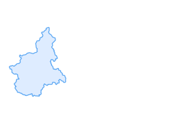

Tour of the refuges of Val Pellice
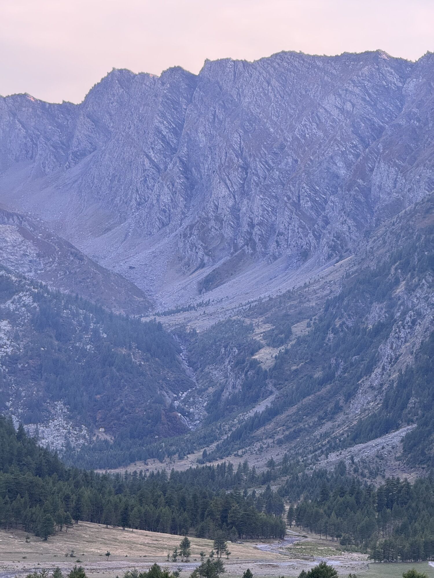
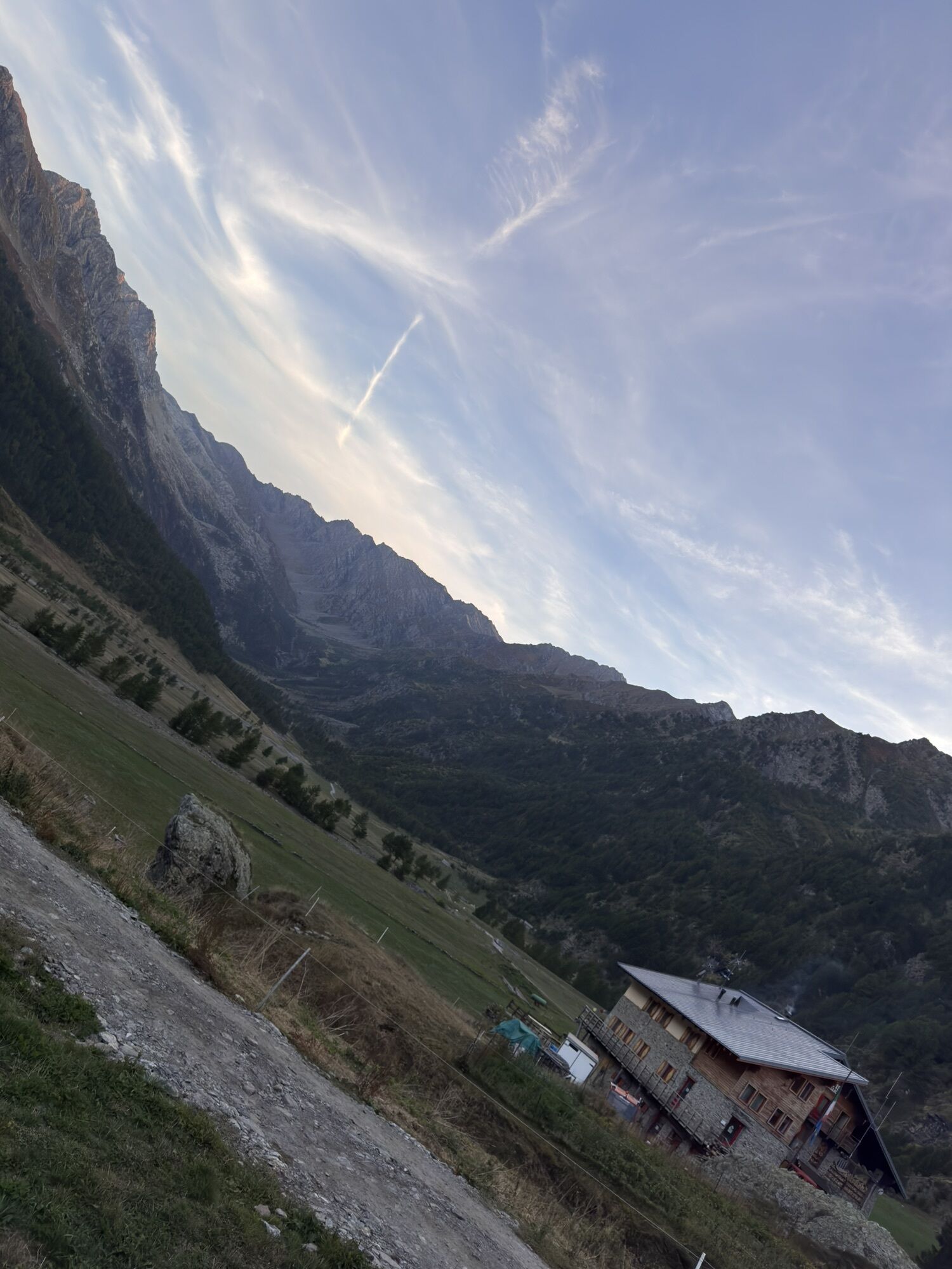
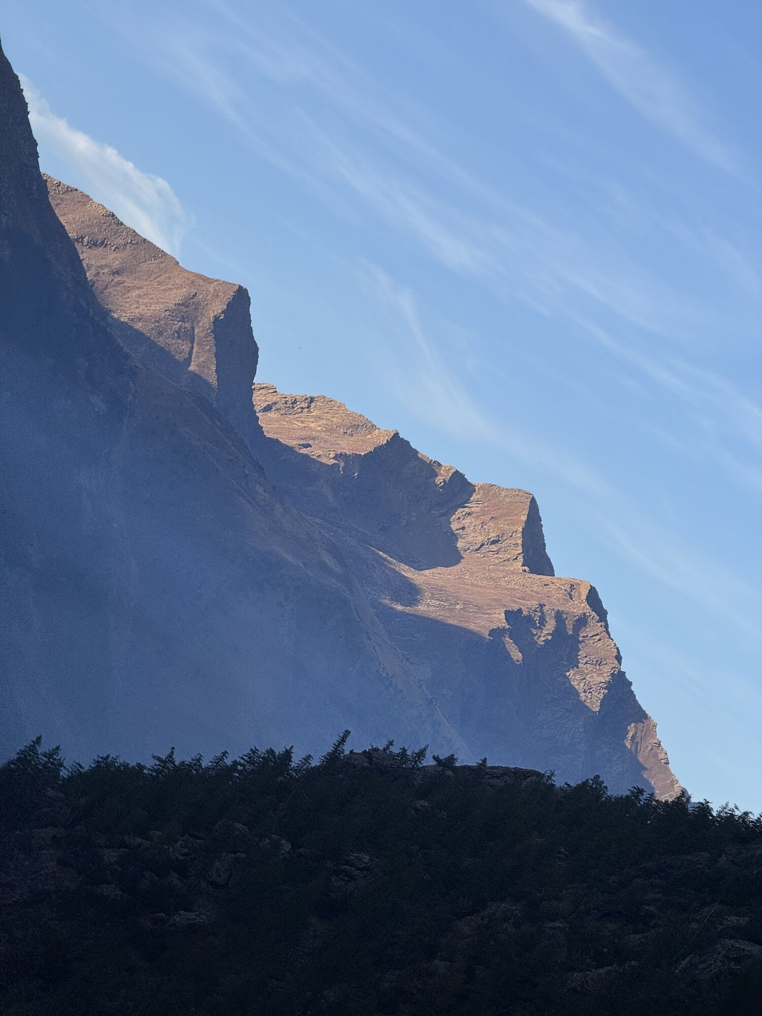
Leaving Bobbio Pellice, cross the Comba dei Carbonieri, a narrow and deep valley whose name tells us that it was a coal production site: Its slopes are covered with wonderful larch woods and on the bottom...
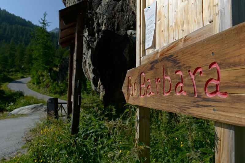
Leaving Bobbio Pellice, cross the Comba dei Carbonieri, a narrow and deep valley whose name tells us that it was a coal production site: Its slopes are covered with wonderful larch woods and on the bottom flows the stream Guichard that near the confluence with the Pellice offers some small natural pools surrounded by huge boulders, ideal for a refreshing dip. At high altitude the pastures produce the excellent tome of Bobbio. At the end of the paved road you arrive at the Rifugio Barbara Lowrie (1,753 m) and from here begins the dirt road to the Rifugio Barant (2,373 m), path with beautiful views.The descent leads first to the Peyronel Botanical Garden and finally to the Willy Jerwis Refuge (1,732 m) in the Pra Basin, then to the Pis Waterfall from the jump of about 60 meters and in the small cluster of houses of Villanova, and then back to the square in Bobbio Pellice.The first stretch of 9 km to the Rifugio Barbara Lowrie (1753 m.), with its 1045 meters of elevation gain develops on a continuous climb with an average gradient of more than 10% and with several points over 20%. For its characteristics it is reviewed as one of the hardest climbs in Italy. Every year on this climb there is a hill climb.


 Získajte prehľad
Vždy naživo na mieste s viac ako 9 500 webovými kamerami. bergfex Ako používateľ Pro si teraz môžete pozrieť príslušné webové kamery pre mnohé zájazdy v aplikácii zájazdy z. Môžete si tak priamo prezerať aktuálne podmienky.
Získajte prehľad
Vždy naživo na mieste s viac ako 9 500 webovými kamerami. bergfex Ako používateľ Pro si teraz môžete pozrieť príslušné webové kamery pre mnohé zájazdy v aplikácii zájazdy z. Môžete si tak priamo prezerať aktuálne podmienky.
Obľúbené výlety v okolí
-
Gran Tour del Monviso
strednáTuristika 57,1 km -
5,0
BOBBIO PELLICE Upslowtour - Ring 2 of the refuges
ťažkéCyklistika 37,6 km -
5,0
04 Monviso Ring. Rifugio du Viso - Rifugio Alevè . Pontechianale, Piemont/Italien
svetloTuristika 13,3 km -
5,0
Rifugio Quintino sella - monte Monviso
strednáLezenie 9,13 km -
5,0
Invincibles valley - Alpe Caugis
Turistika 15,3 km -
BOBBIO PELICE Trekking in the hamlets and forests around Bobbio
strednáTuristika 7,72 km -
5,0
BOBBIO PELLICE Climb to the Barbara Lowrie Refuge
ťažkéCestný bicykel 9,19 km -
TORRE PELLICE The Shepherds' Way
svetloMountainbike 11,0 km -
TORRE PELLICE Naturalistic trail "The Jay"
svetloTuristika 10,2 km -
VILLAR PELLICE Inverso path
svetloTuristika 5,62 km
Turistika a stopovanie


Nenechajte si ujsť ponuky a inšpiráciu na ďalšiu dovolenku
Vaša e-mailová adresa bol pridaný do poštového zoznamu.





