


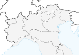


ALA OF STURA trail AL-BA to Pian della Mussa

Úroveň náročnosti: S1
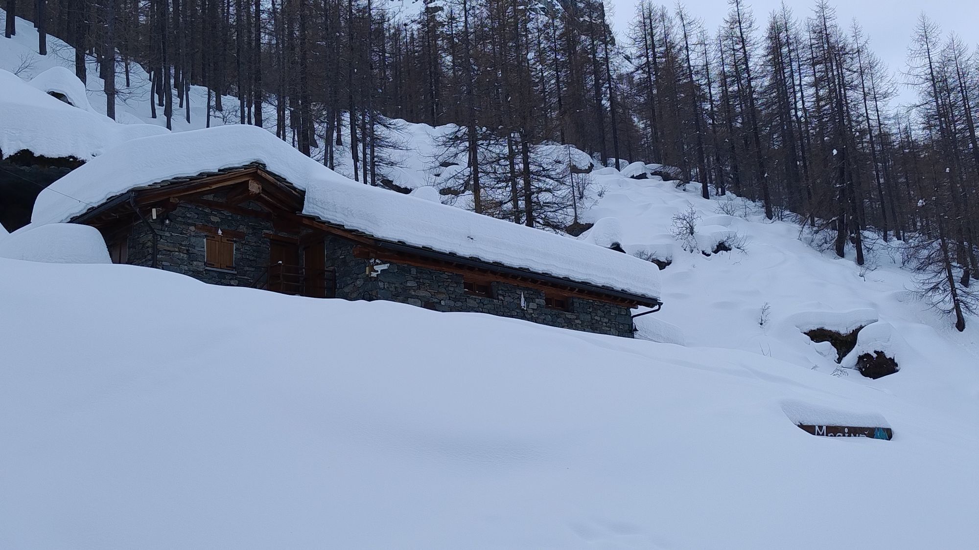
You start from the square in Ala di Stura and head for the upper valley. Instead of turning immediately onto the provincial road, you seek out the inner passages and side roads that connect the hamlets...
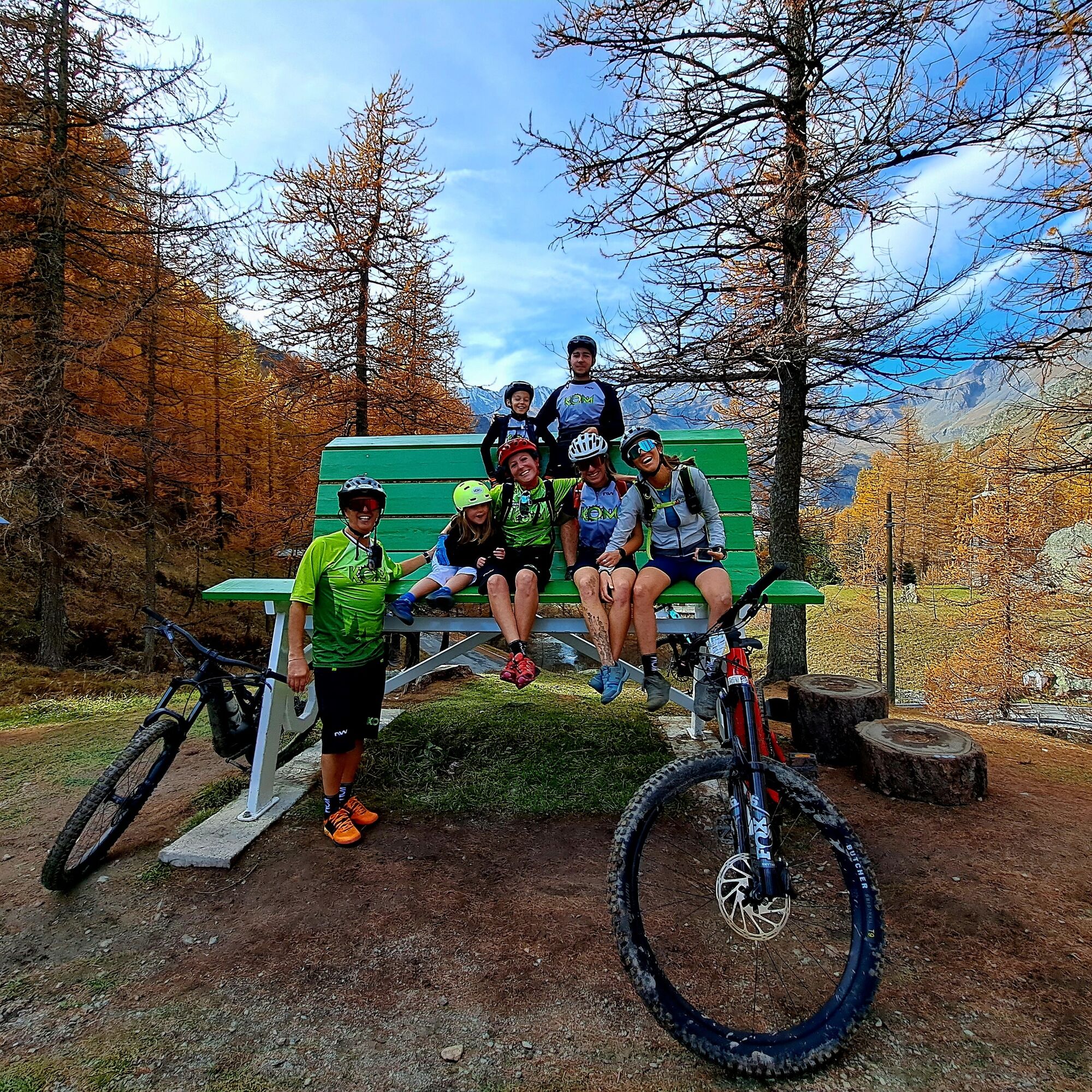
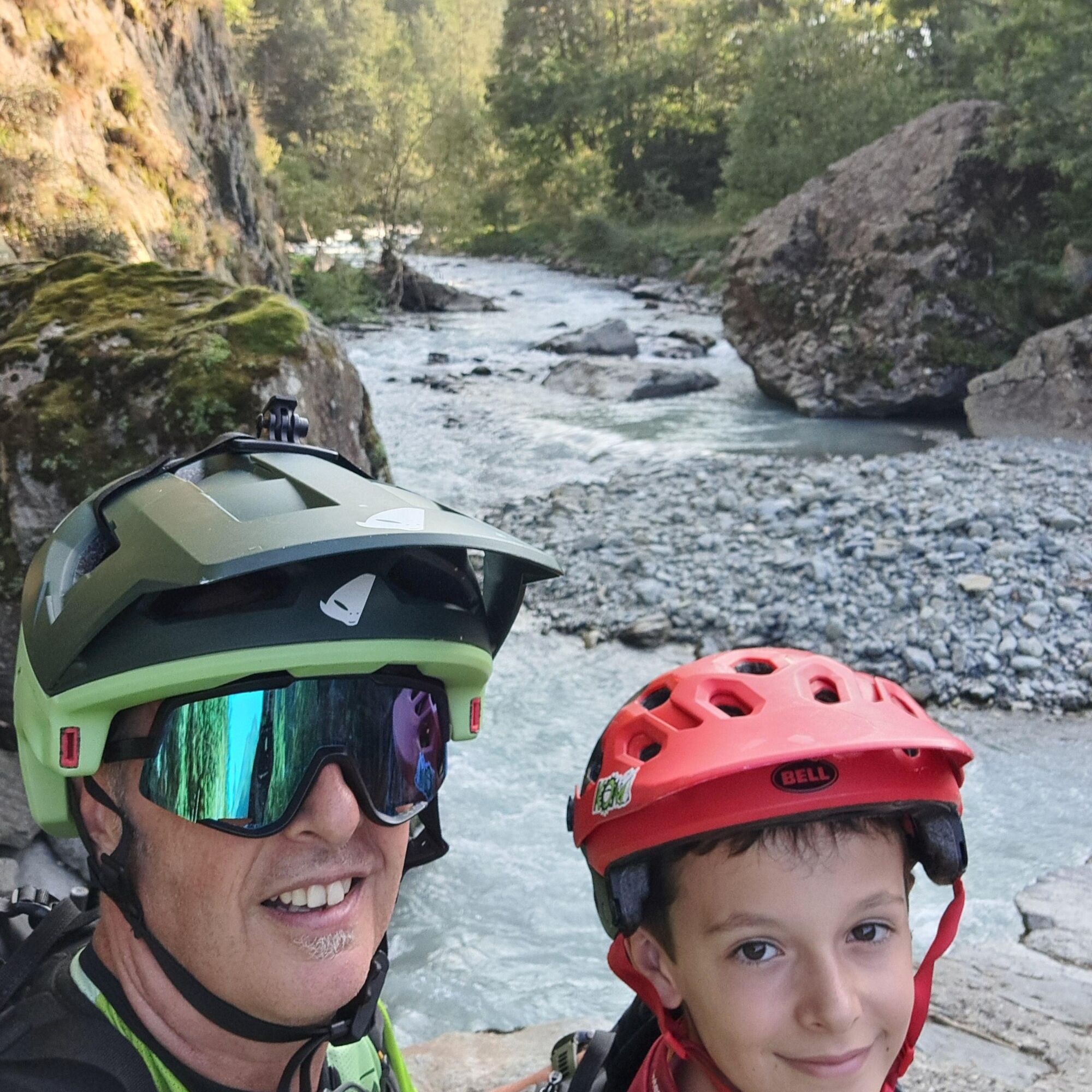
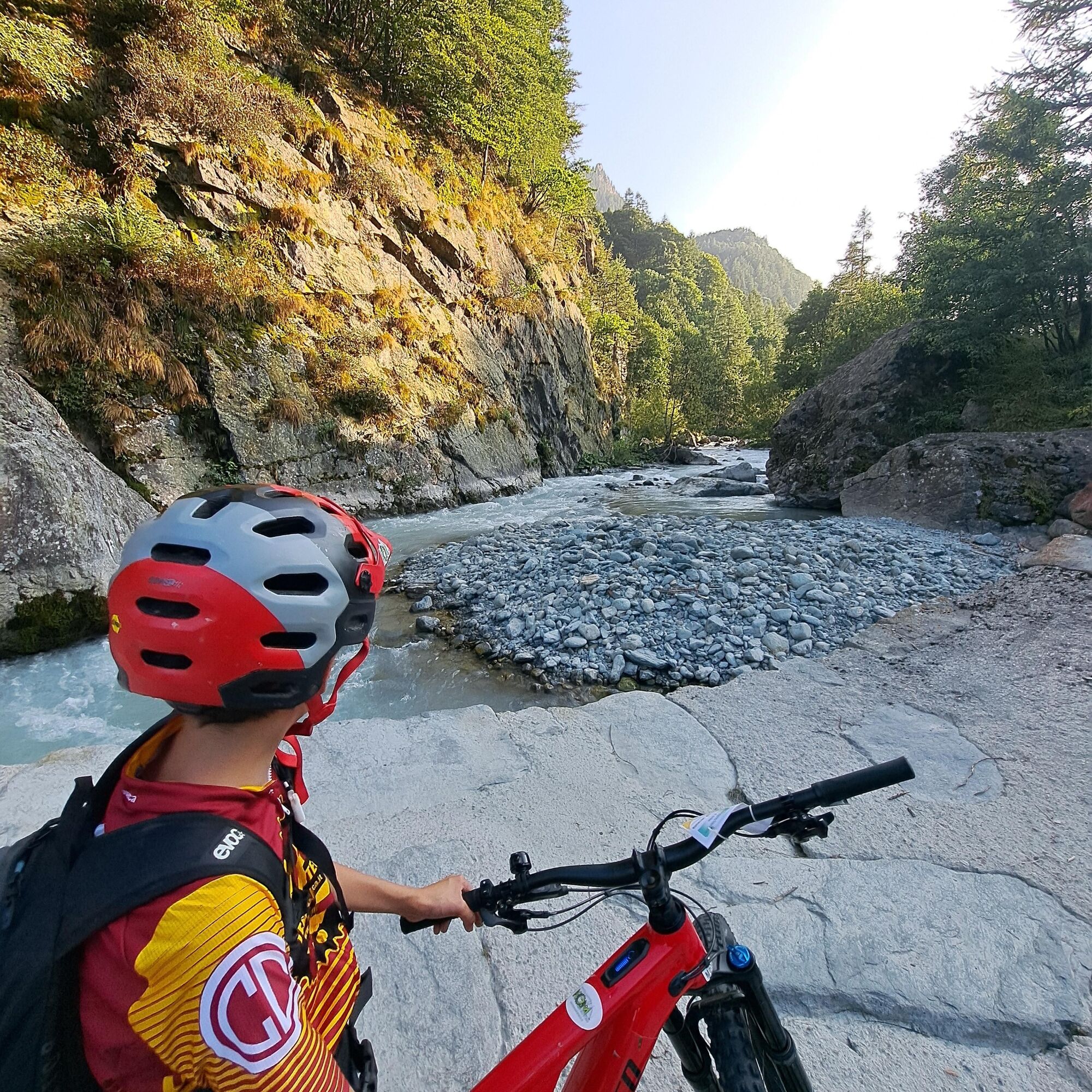
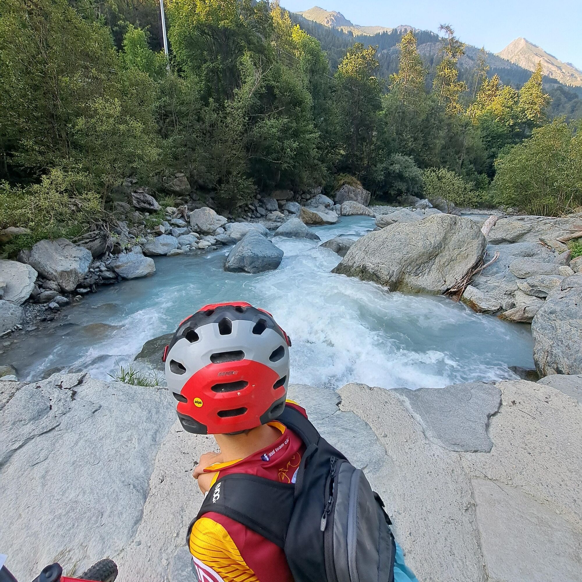
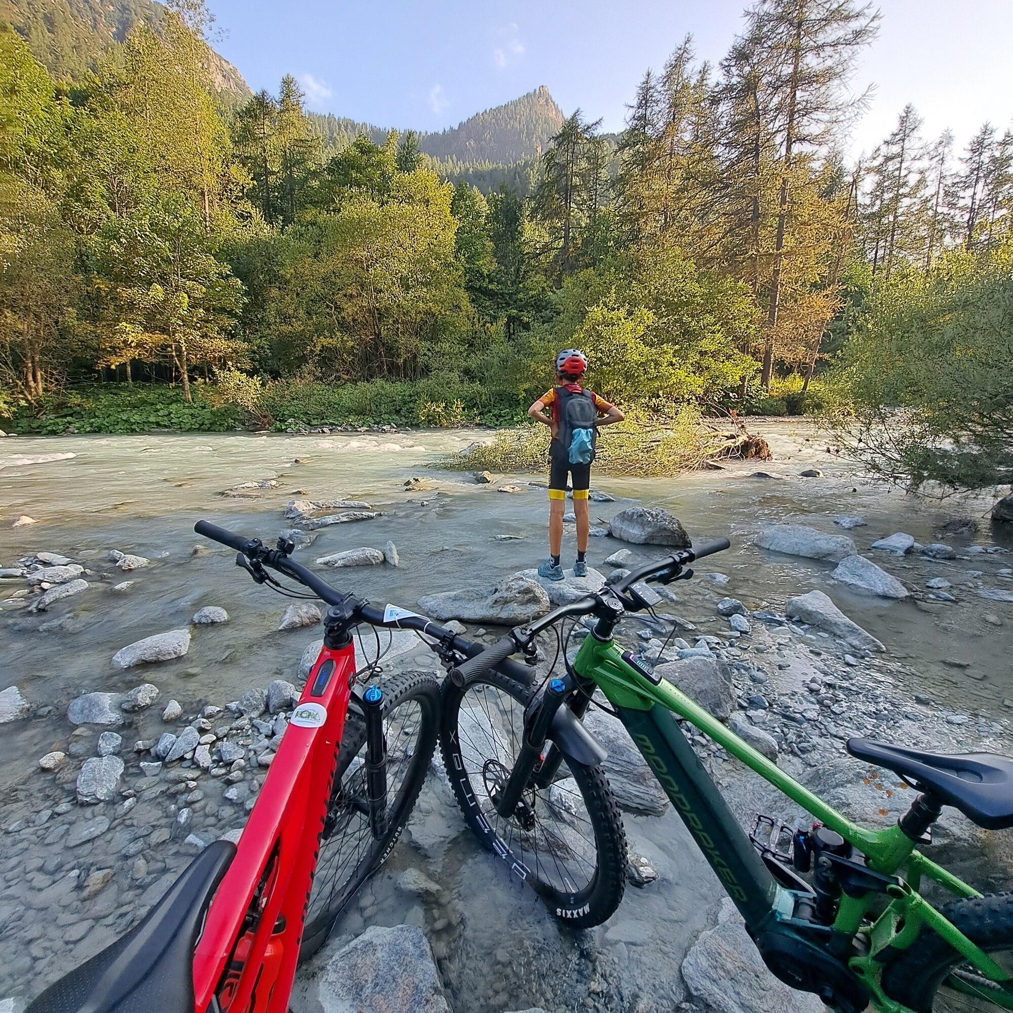
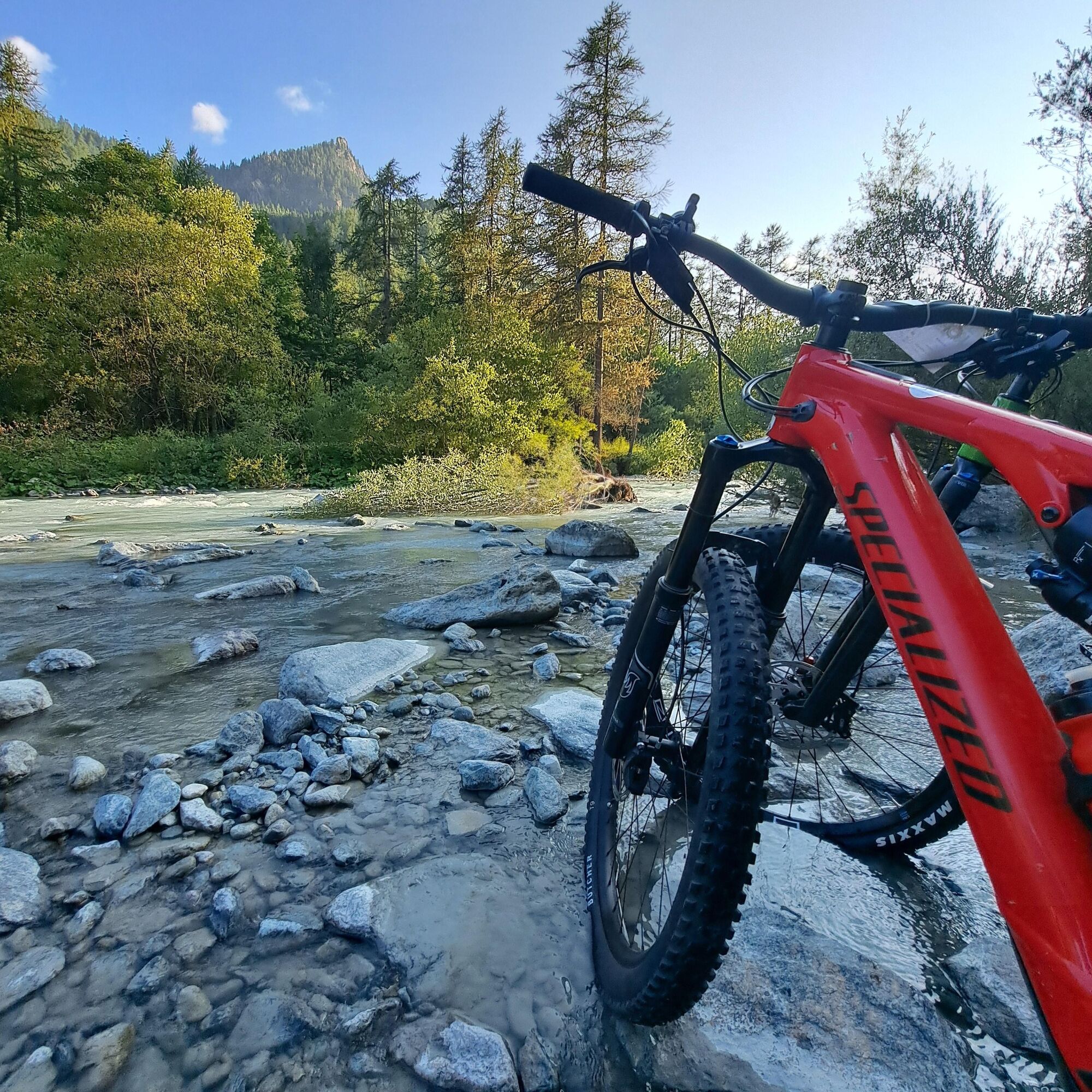
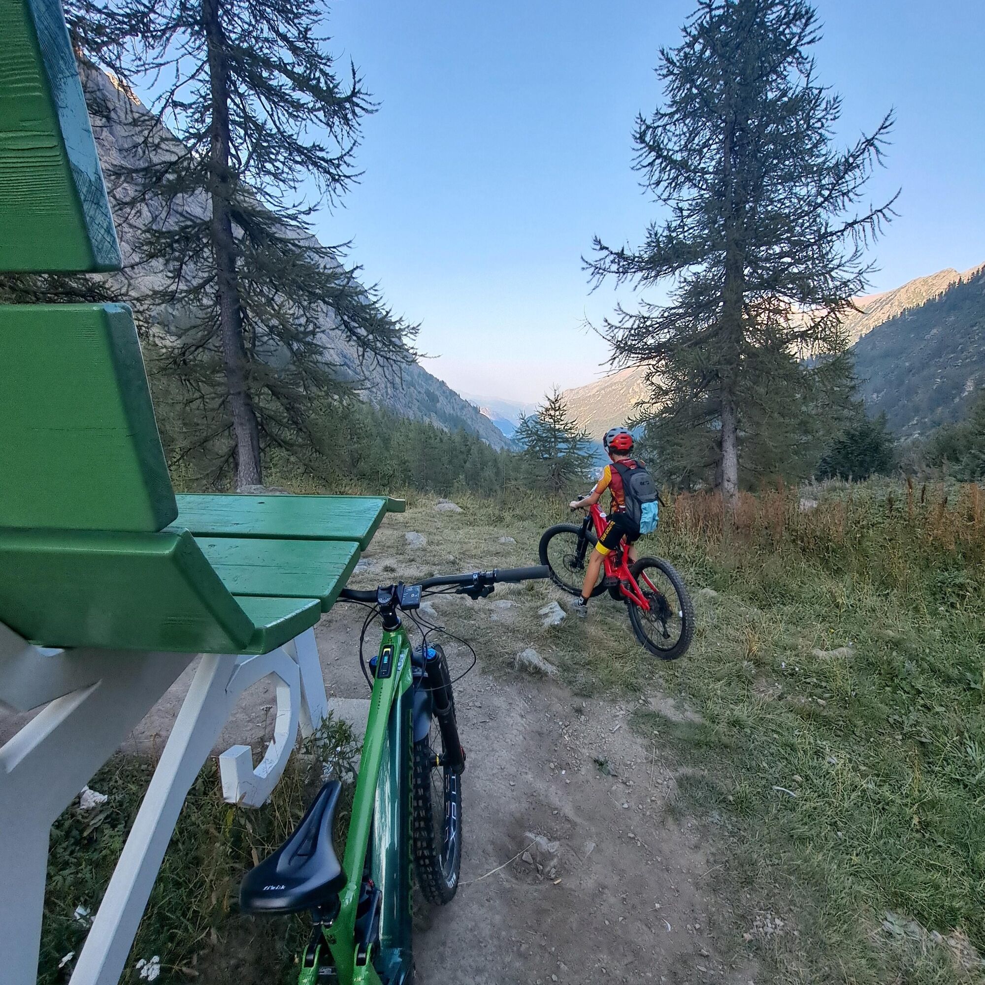
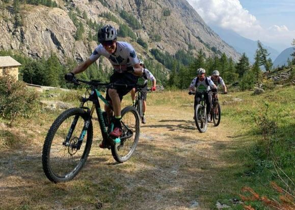
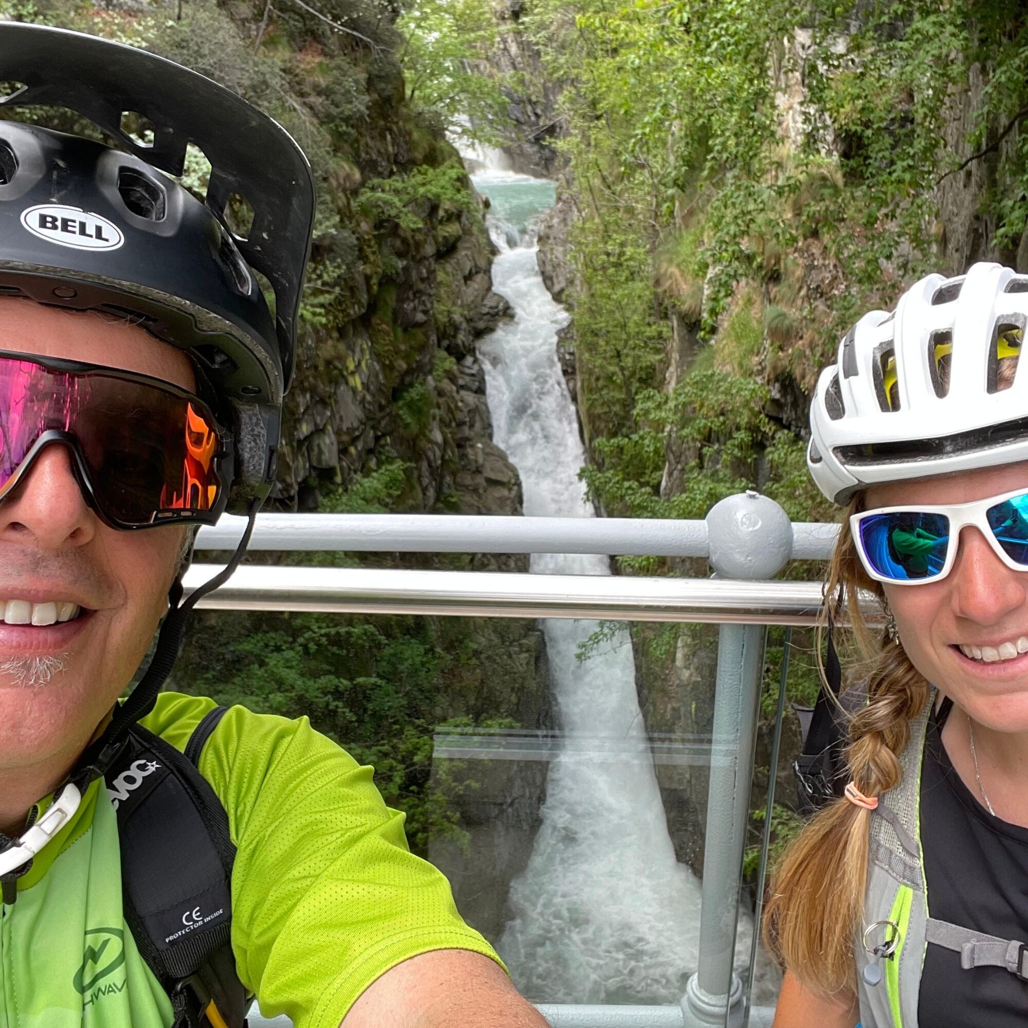
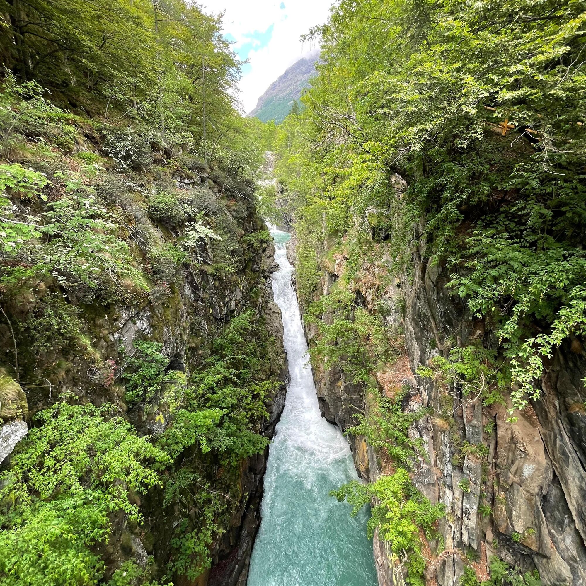
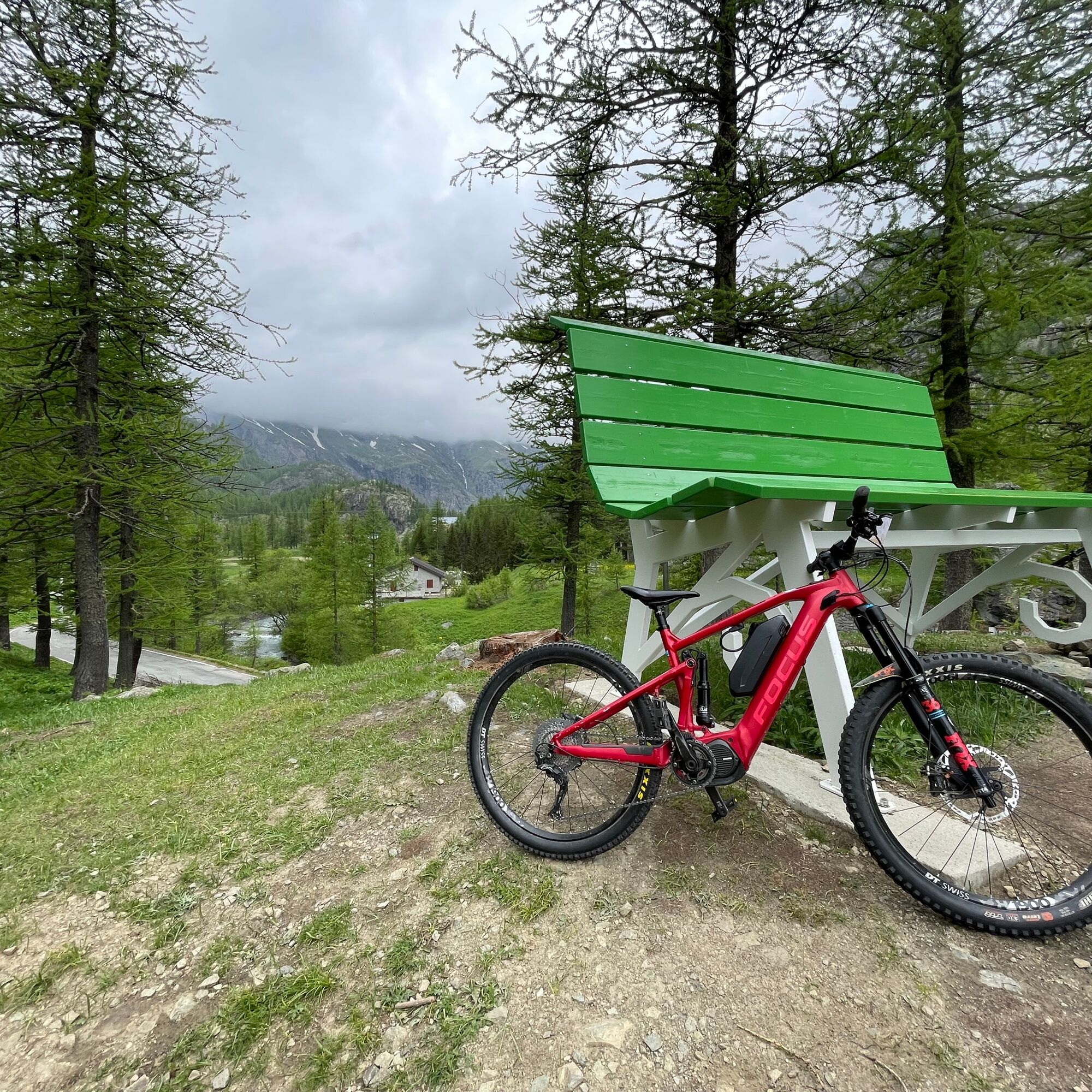
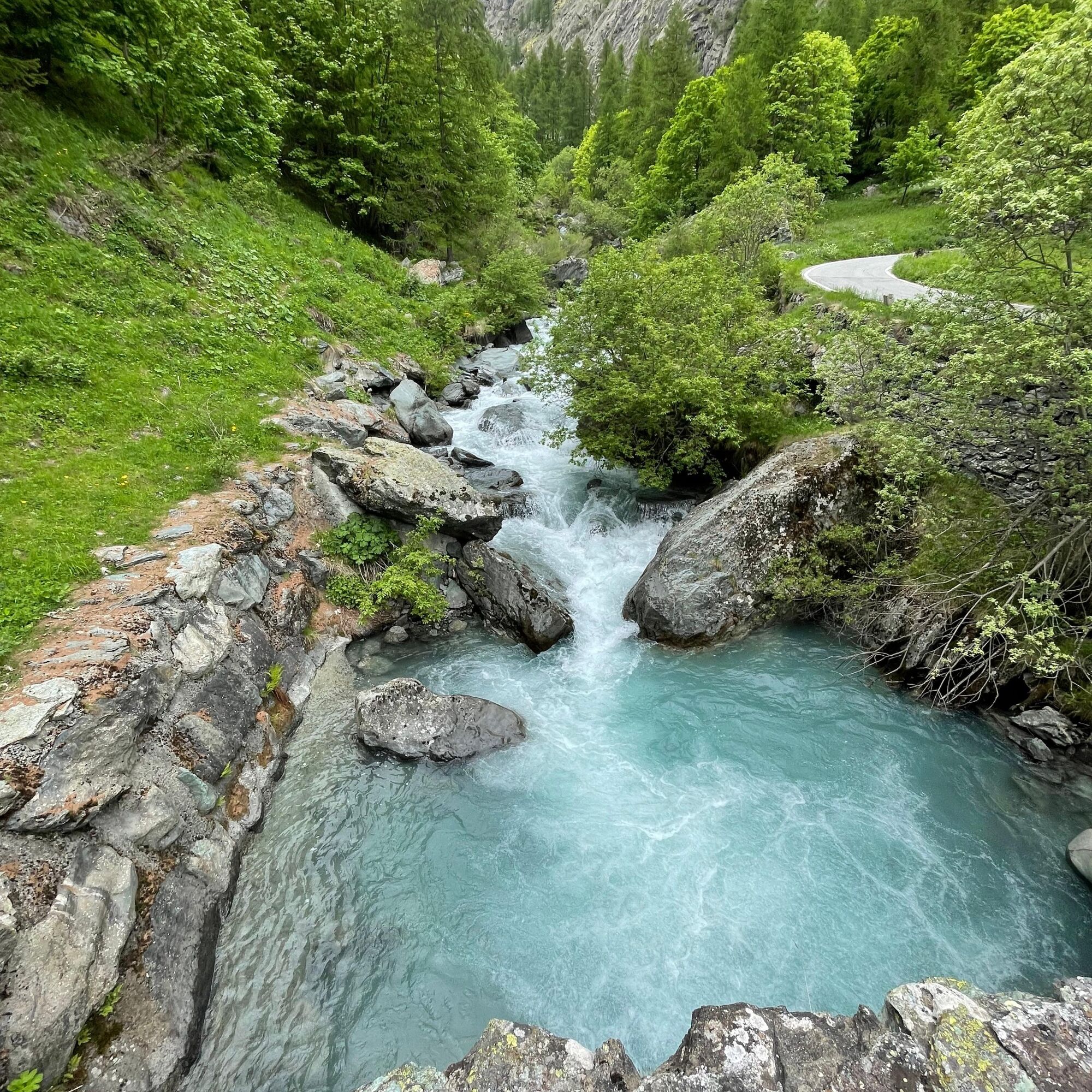
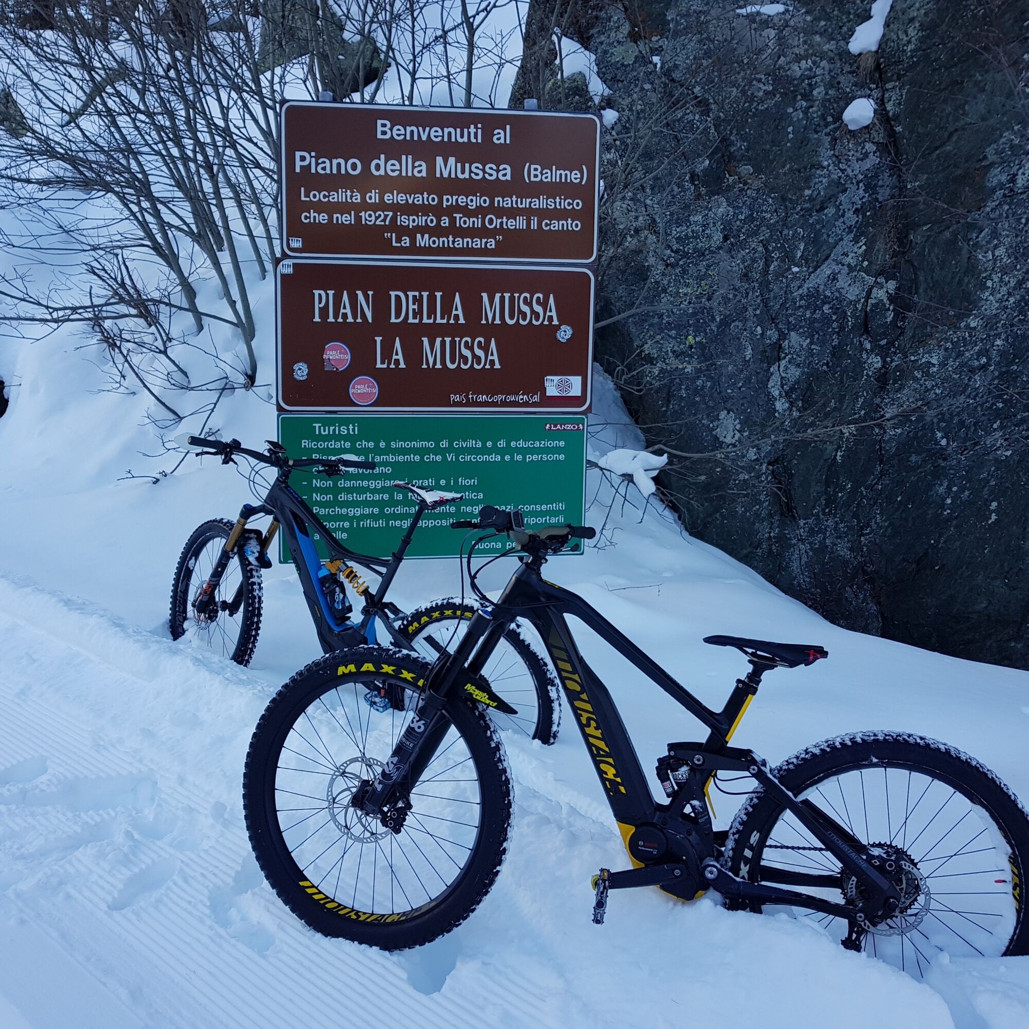
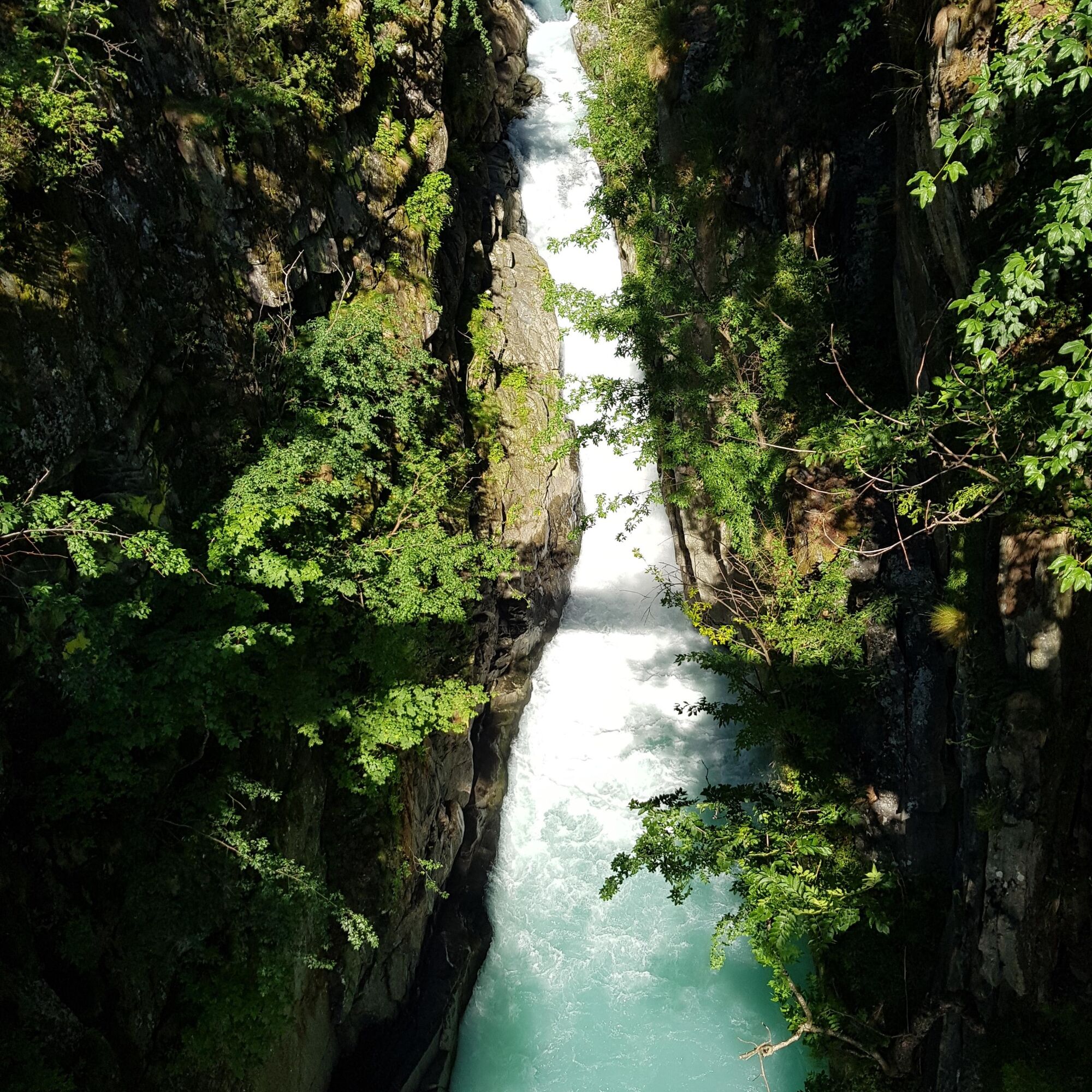
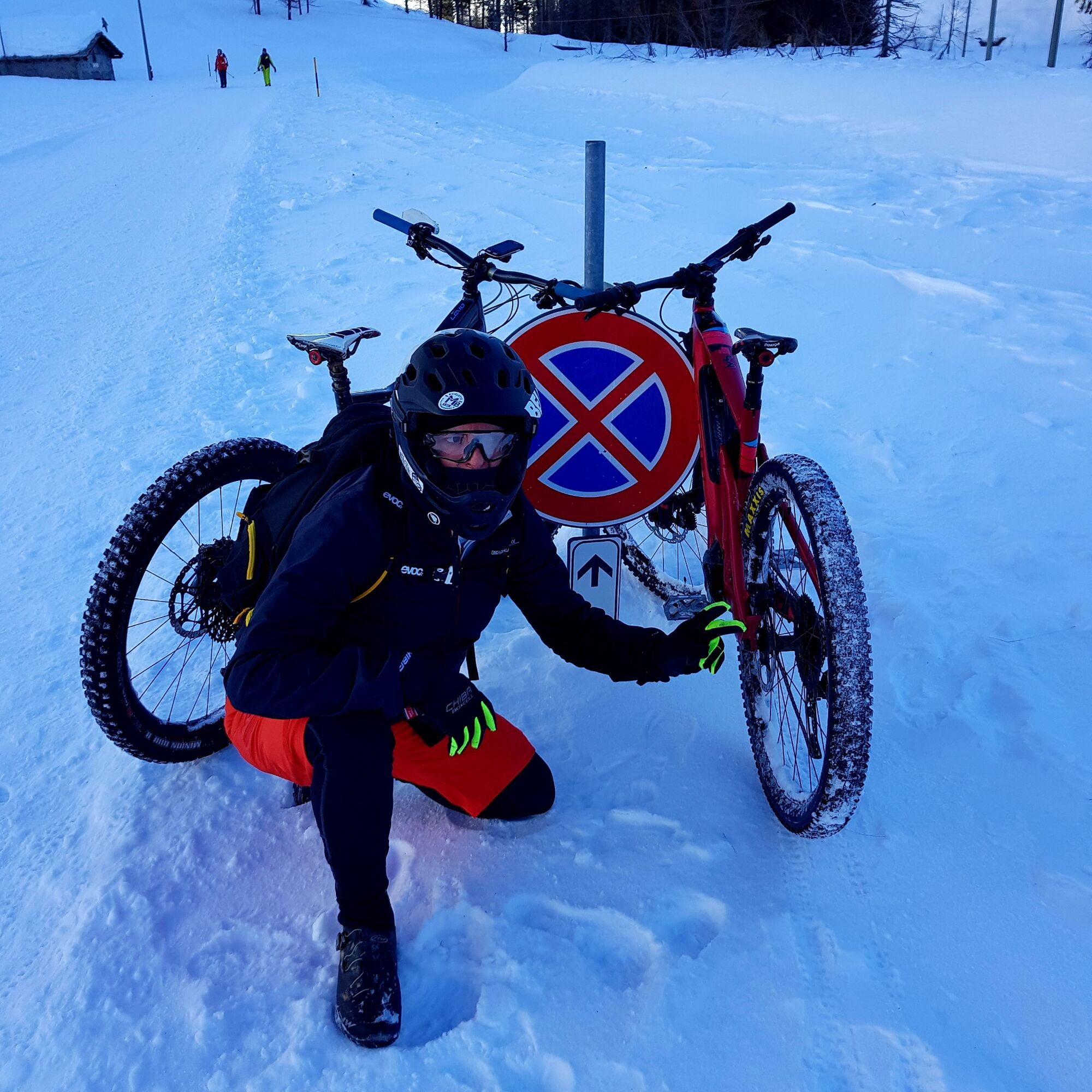
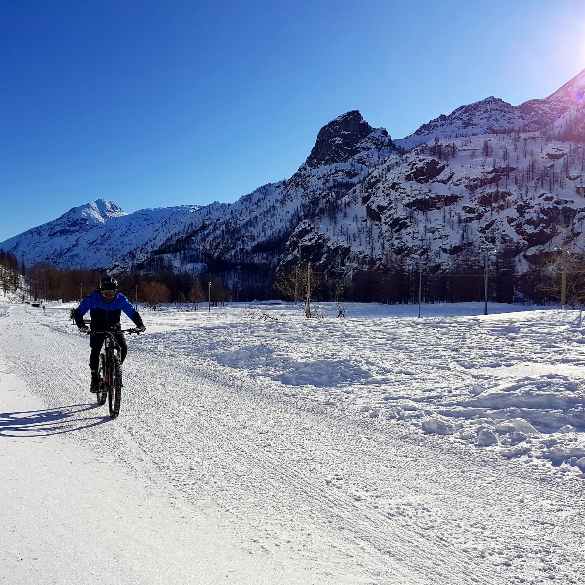
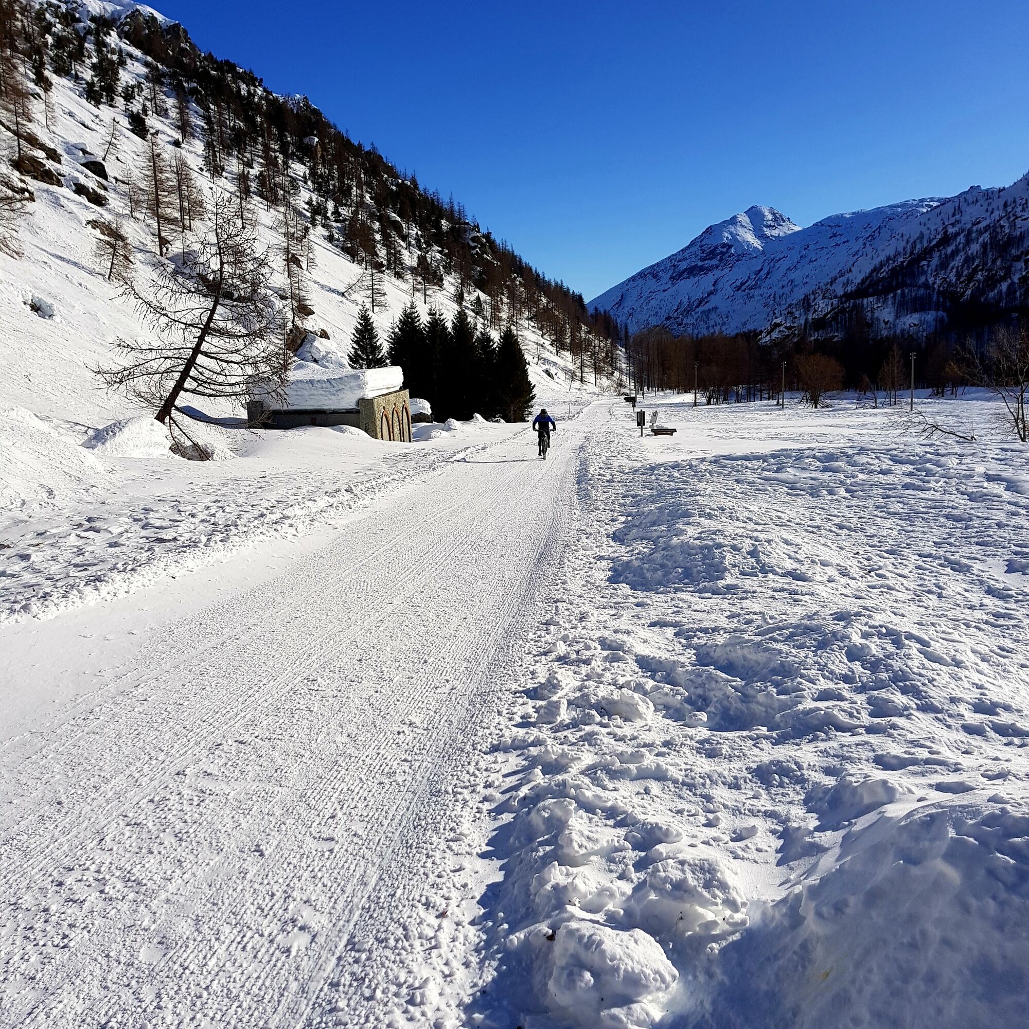
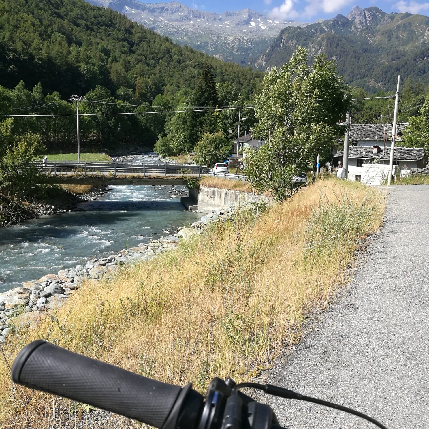
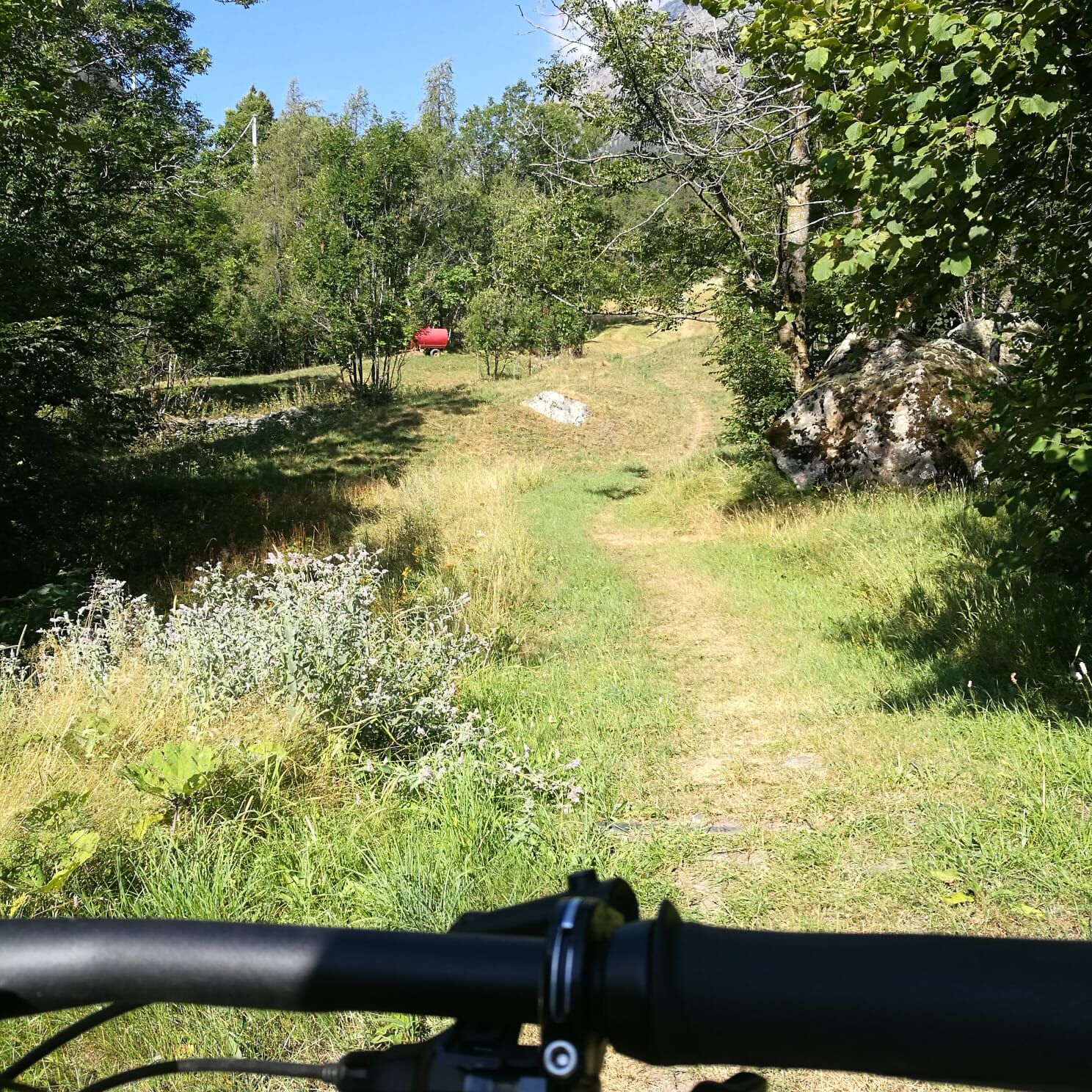
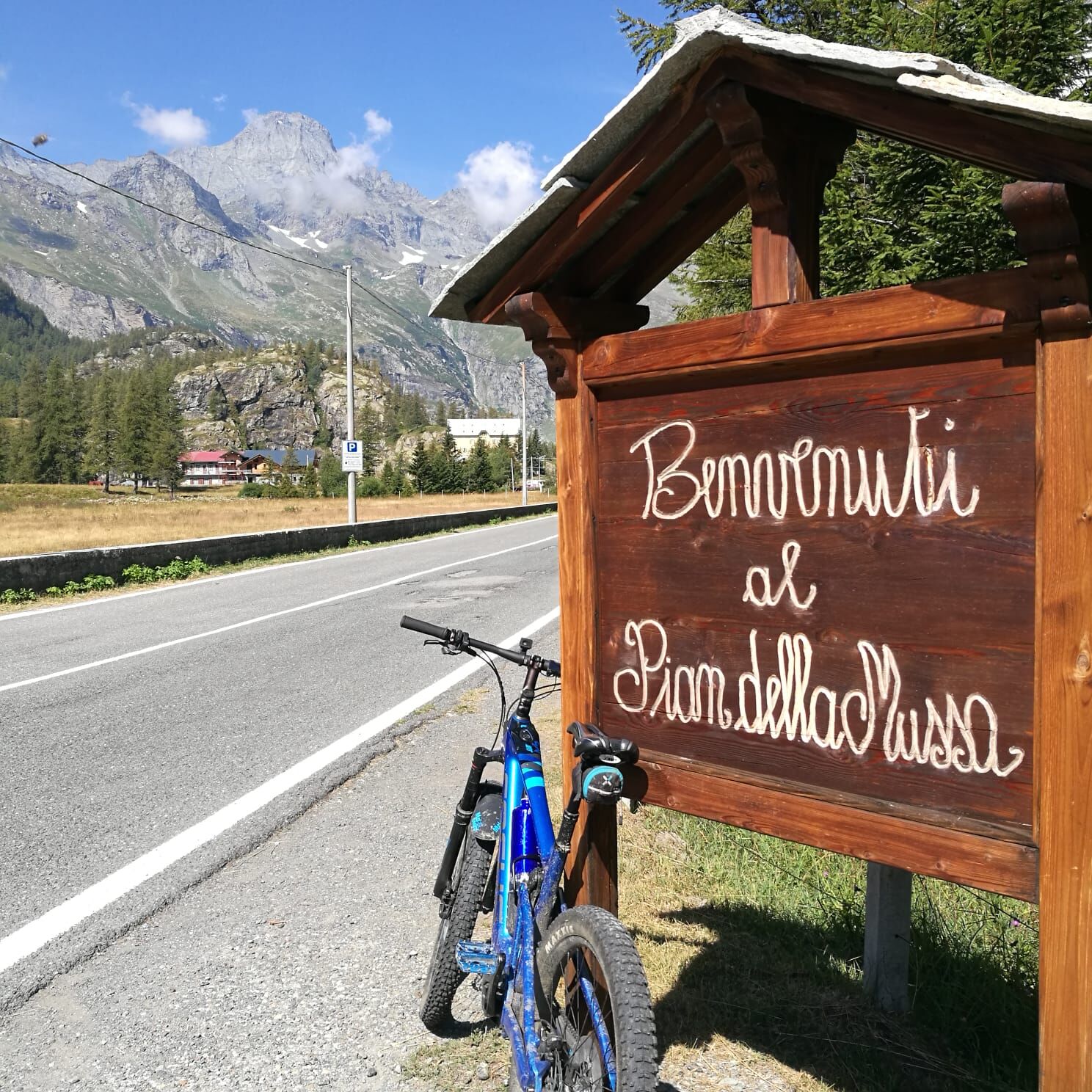

Surface: Secondary mountain asphalt, historic cobblestone/pavé roads within the villages and flat dirt tracks on the valley floor on the final approach.
Difficulty (MTB): TC / MC (Tourist / Average Cyclists). The route has no narrow single-track passages or trialistic obstacles, but the physical commitment is constant, especially in the ramps before the plateau.
Áno
Radical Temperature Swings: The Pian della Mussa is a true high-altitude basin, exposed to winds blowing from the glaciers bordering France. Even in midsummer, if the sun is covered by clouds, the temperature can drop rapidly. It is imperative to have a windproof jacket, thermal shell and long gloves in your backpack for the descent.
Traffic and Pedestrians: Pian della Mussa is an extremely busy tourist destination on summer weekends. Pay close attention to pedestrians on the plateau and cars along the narrow switchbacks above Balme.
Water Sources: There is no shortage of water along the route (Balme and Ala have excellent fountains), but remember that the water in Pian della Mussa is famous for its purity (it is even bottled and is the same water that supplies the Turin aqueduct!). Fill up at the plateau spring.
From Ceres one can leave by bicycle and reach Ala di Stura. Otherwise by car you can reach the town of Ala di Stura, the starting point
By Car: From Turin, take the Turin-Caselle freeway link road (RA10), exit at Caselle and follow the SP2 towards Ciriè / Lanzo Torinese. After passing Lanzo, follow the signs for Val d'Ala (SP1). Pass Pessinetto, Mezzenile and Ceres, continuing up the provincial road until you reach the town of Ala di Stura. (About 50 km, 1 hour from Turin).
Train or bus available until Ceres
Ala di Stura market square
S1
The Cradle of Mountaineering: Passing through Balme means breathing in the history of mountaineering in Turin. This is where the first historic guides were born (such as the epic Antonio Castagneri) who accompanied the nobles of the 1800s to conquer the surrounding peaks.
Taste of High Altitude: Before departing from Pian della Mussa or during the stop in Balme, it is a must to taste Toma di Lanzo d'alpeggio or stop at the refuge for a plate of polenta concia.
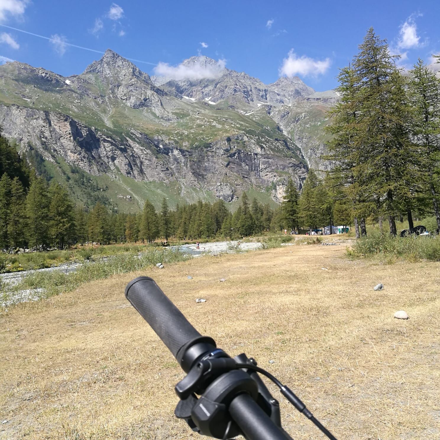
A Postcard Landscape: The visual transition you experience as you exit the last hairpin bend above Balme and look out over the Pian della Mussa is one of the most exciting moments in the entire Piedmont Alpine range: the feeling of entering a monumental rock amphitheater is unforgettable.


Obľúbené výlety v okolí
-
4,5
Rocciamelone partedjo dalla Riposa. Mompantero, Piemont/Italien
strednáTuristika 10,6 km -
5,0
The Grand Méan lake via the Evettes circus
ťažkéTuristika 13,6 km -
5,0
BALME Green Lakes and Lago Paschiet
strednáTuristika 7,51 km -
5,0
BALME Arnas Ring - Pian della Mussa
ťažkéTuristika 13,6 km -
USSEGLIO Lake Nero from Lake Malciaussia
svetloTuristika 4,79 km -
5,0
LEMIE Ovarda Lakes loop
ťažkéTuristika 15,9 km -
5,0
Alta Via delle Valli di Lanzo | Stage 4 Rifugio Citt di Ciri - Rifugio Cibrario
ťažkéTuristika 12,0 km -
4,7
High Way of the Lanzo Valleys | Stage 6 Tazzetti Refuge - Lake of Malciaussia
strednáTuristika 5,49 km -
5,0
Goldtoni - Alpenbogen A120 Pialpette-Ceresole Reale
strednádiaľková pešia trasa 18,2 km -
Lake Dres - Ceresole Reale
strednáTuristika 7,24 km
Turistika a stopovanie


Nenechajte si ujsť ponuky a inšpiráciu na ďalšiu dovolenku
Vaša e-mailová adresa bol pridaný do poštového zoznamu.


