







Nat. Park of the Lagoni of Mercurago | Between wetlands and archaeology
Úroveň náročnosti: S1
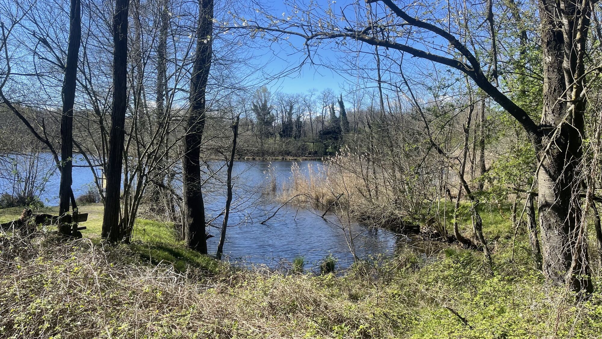
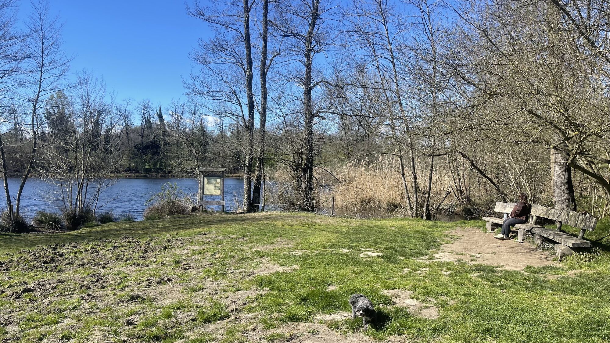
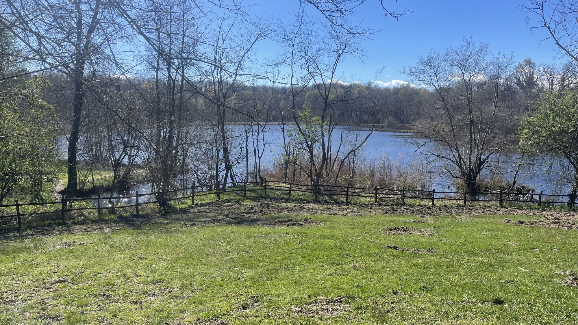
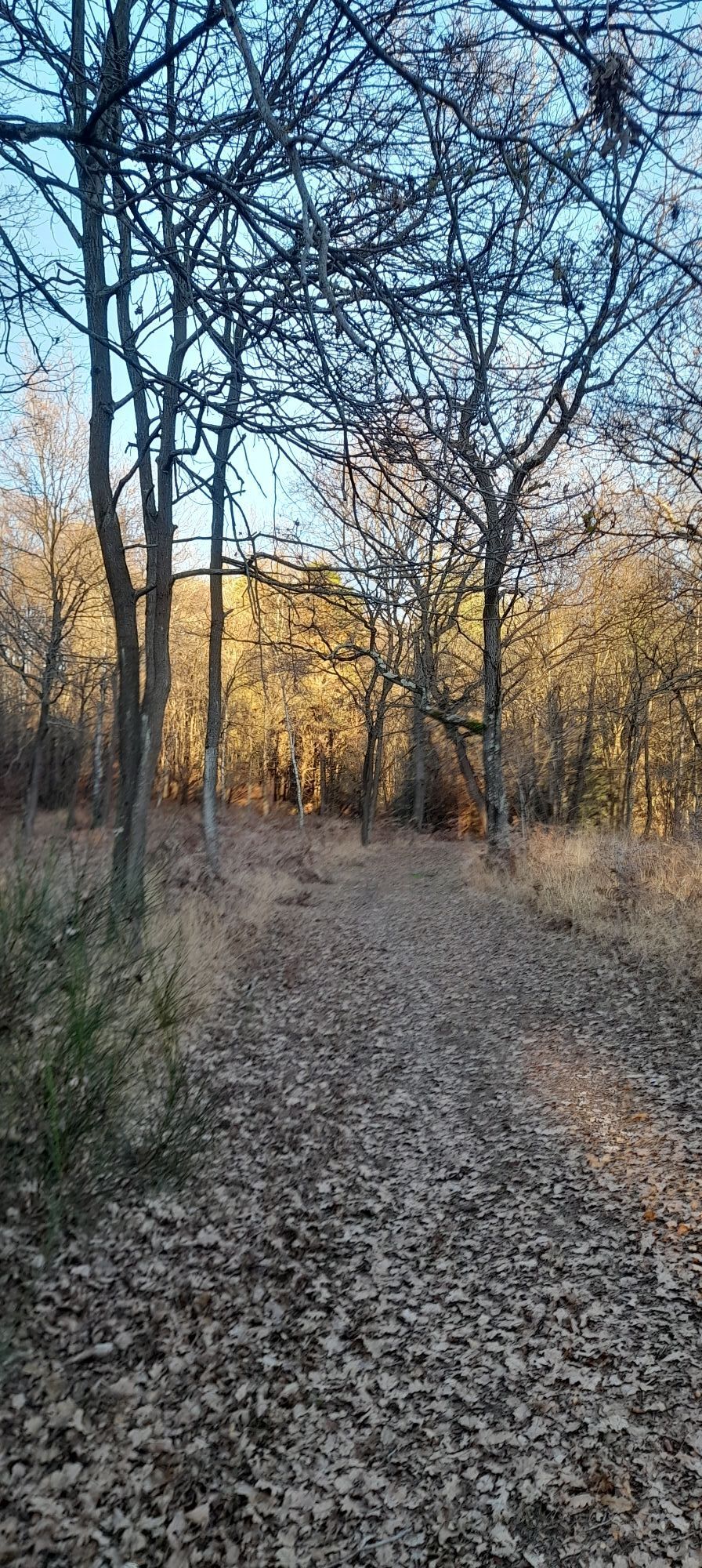
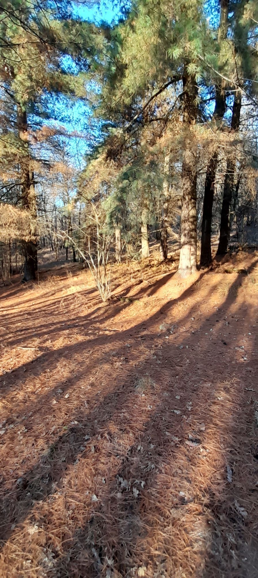
Located in the hinterland of Arona, the Lagoni di Mercurago Nature Park covers an area of 473 hectares, divided among the municipalities of Arona (Mercurago), Comignago, Dormelletto and Oleggio Castello....
It has remarkable archaeological evidence, such as the prehistoric pile-dwelling site, a source of valuable artifacts, recognized in 2012 as a UNESCO heritage site.
www.parcoticinolagomaggiore.com


We now continue straight ahead slightly uphill and reach a fork with a chestnut tree where we need to continue left downhill (on the right is the stra dal Muntasc) reaching the asphalt road in via ai Lagoni: we turn right towards the village of Dormelletto. We continue on asphalt and before reaching the center of the village we turn right onto via Fratelli Kennedy. At the next junction we turn left into via Monte Bianco and take a wide cobblestone road.Reaching the top of the climb we turn right into via Camotto and continue on dirt road (stra dal Muntasc) reaching again the chestnut tree junction we met earlier. Now we follow back the outward route but just before the big lake we turn left taking the stra d'la Buscarola and continue skirting the riding school on the right. At the next fork we keep right (signs for stra d'la Buscarola), pass the picnic area and a pine forest on the left until we reach a farm near the electric pylons.
Now we turn right and enter a path marked as senté dal Custon that skirts the archaeological area and then follows the senté dal Fòs. At the next fork we turn left onto the stra di Sèl and then continue straight ahead and back onto the stra di pianèl da Gatic. The path descends to a bend where we turn right uphill taking the senté dal Busch.We now continue on a flat stretch, always following the signs for the senté di Busch and reaching the pond area. Near the junction with the stra d'la Pül we turn right and continue skirting the wetland area to the next junction where we turn right again. Passing some houses on our left, we proceed to the right along stra del Bagaìn and return to the junction with the small chapel traveled on the way out. Keeping to the left we return toward the exit of the park, our arrival point.
S1
Získajte prehľad
Vždy naživo na mieste s viac ako 9 500 webovými kamerami. bergfex Ako používateľ Pro si teraz môžete pozrieť príslušné webové kamery pre mnohé zájazdy v aplikácii zájazdy z. Môžete si tak priamo prezerať aktuálne podmienky.
Obľúbené výlety v okolí
-
5,0
Lakeside Maggiore Route
ťažkéCestný bicykel 162,8 km -
4,7
Coiromonte - Monte del Falò
strednáTuristika 6,16 km -
On the Hills from Cavallirio and Boca
svetloTuristika 9,73 km -
In the hills of Borgomanero
strednáMountainbike 41,3 km -
From the rice plain to the hills of Middle Novara
ťažkéMountainbike 45,9 km -
BicinVigna with Antonelli - Pink Itinerary
strednáMountainbike 40,9 km -
Between the Sesia and the vineyards of the Novara hills
strednáMountainbike 40,2 km -
BicinVigna with Antonelli
strednáMountainbike 25,2 km -
From Invorio to Armeno through the villages of Vergante
strednáMountainbike 41,0 km -
Lagoni di Mercurago Park
svetloMountainbike 12,5 km
Turistika a stopovanie


Nenechajte si ujsť ponuky a inšpiráciu na ďalšiu dovolenku
Vaša e-mailová adresa bol pridaný do poštového zoznamu.





