



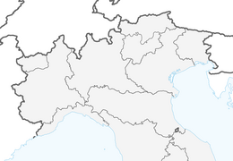


CAMBIAN toward Riva presso Chieri
The route starts from the parking lot adjacent to the Cambiano cemetery. From here you enter a bike path that leads into the countryside. You skirt the MunLab (ecomuseum of clay) and find yourself pedaling...
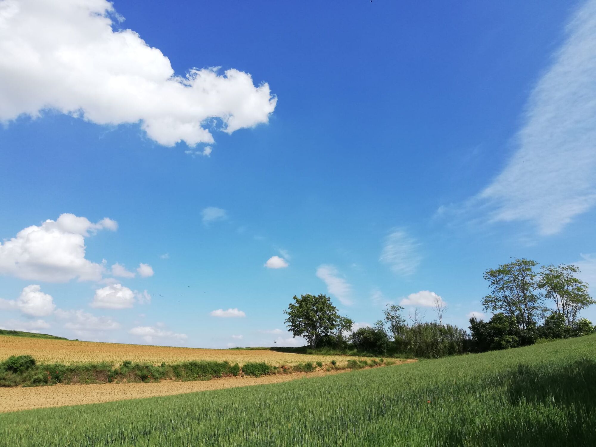
The route starts from the parking lot adjacent to the Cambiano cemetery. From here you enter a bike path that leads into the countryside. You skirt the MunLab (ecomuseum of clay) and find yourself pedaling immersed in the beauty of the rural landscape. You pass through some typical hamlets characterized by the presence of several castles (Mosi, Fortemaggiore, Castelguelfo) until you reach, at the ancient Mulino della Torre, the town of Riva presso Chieri. The historic center of this locality offers numerous points of interest. The return route leads via a long bicycle path to Chieri, to head to the hamlet of Madonna della Scala, from where a section of the Piedmont Blue Way begins to return to the starting point.
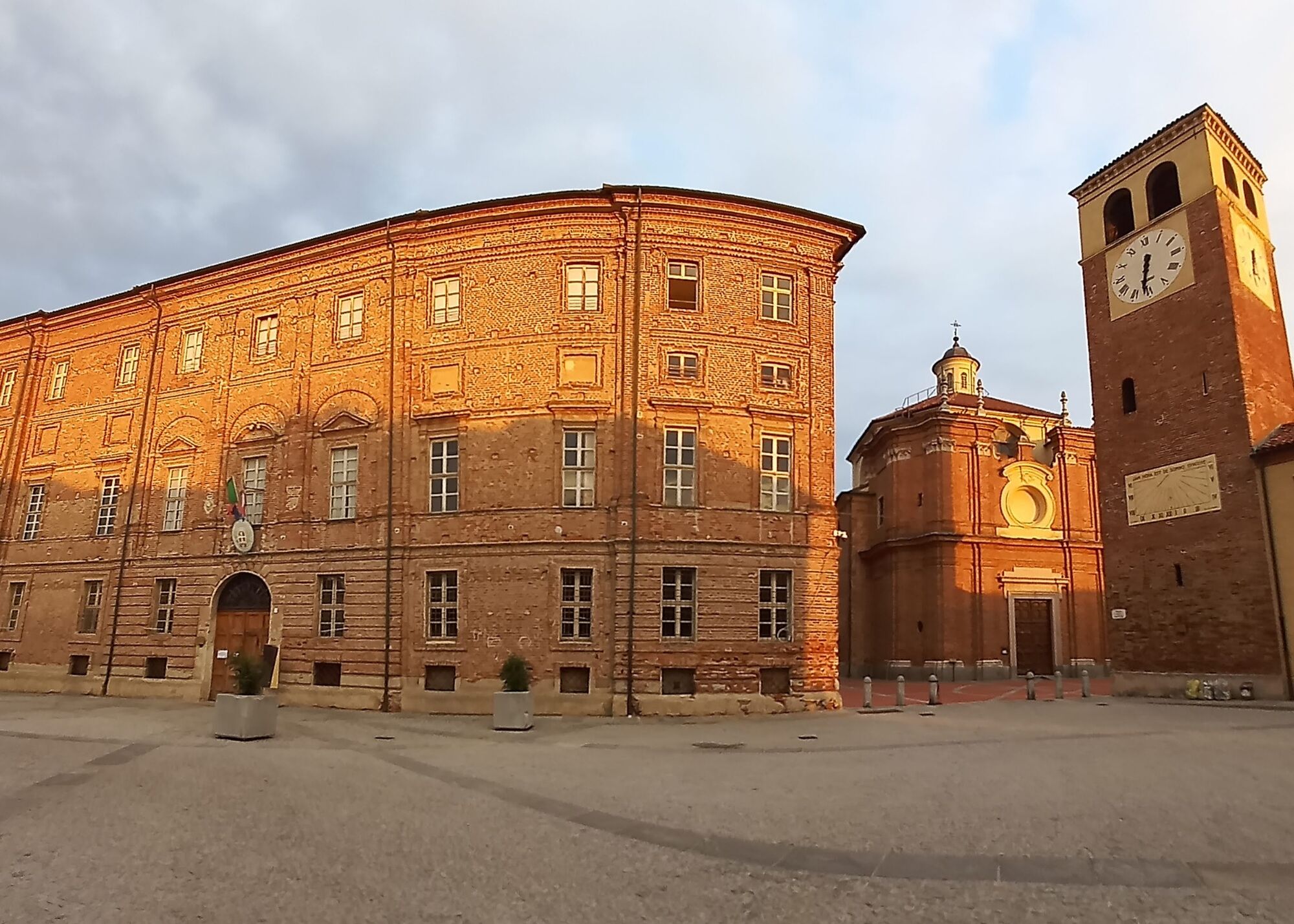
From here it is possible to reach the nearby center of Cambiano, rich in palaces and churches of great historical and architectural interest.
Itinerary designed and provided by PISTAAA The Piedmontese Blue Way.

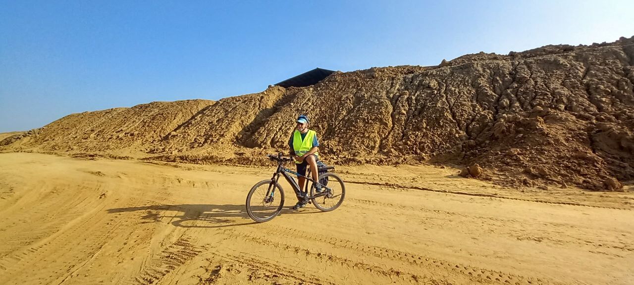
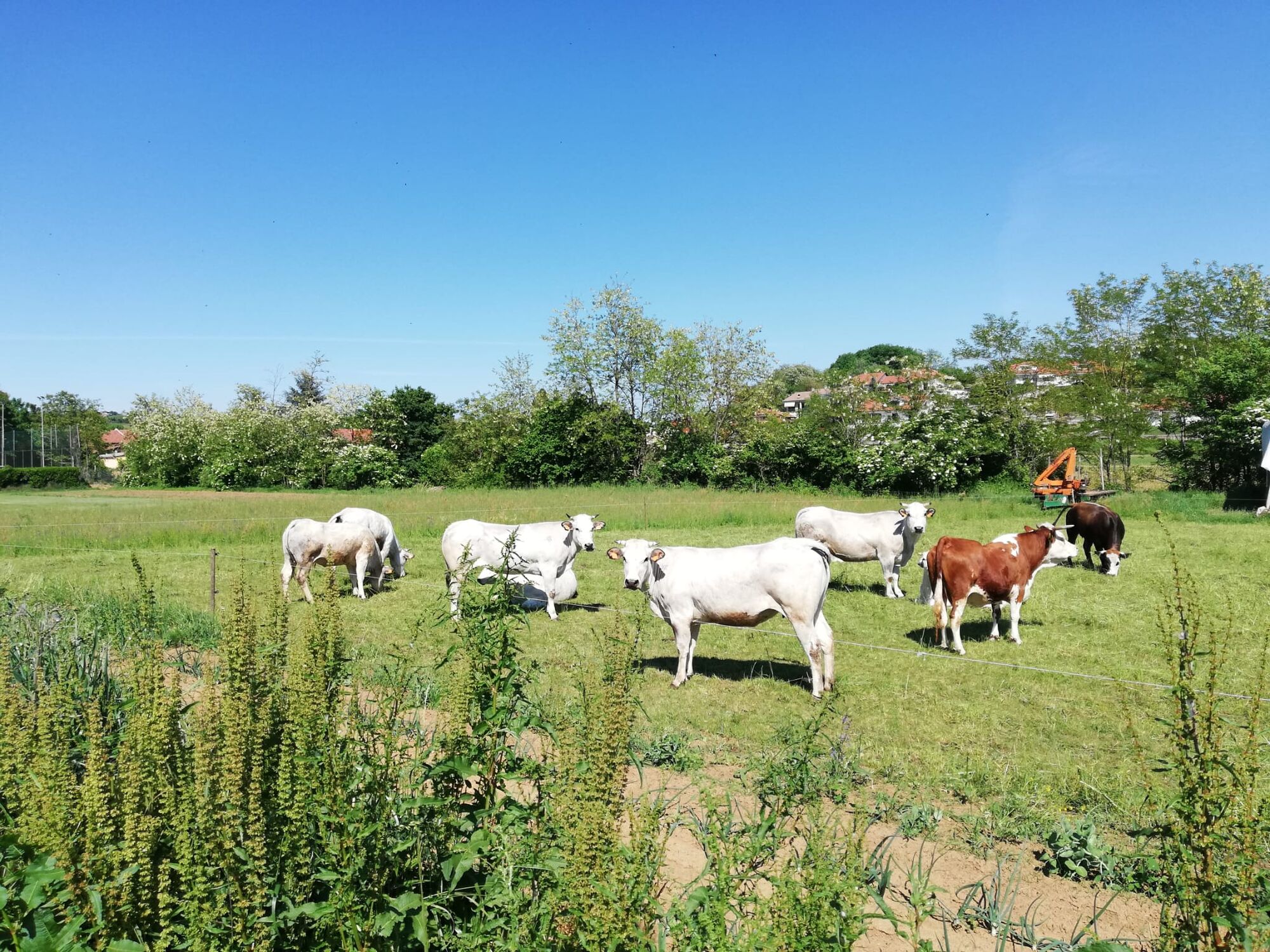

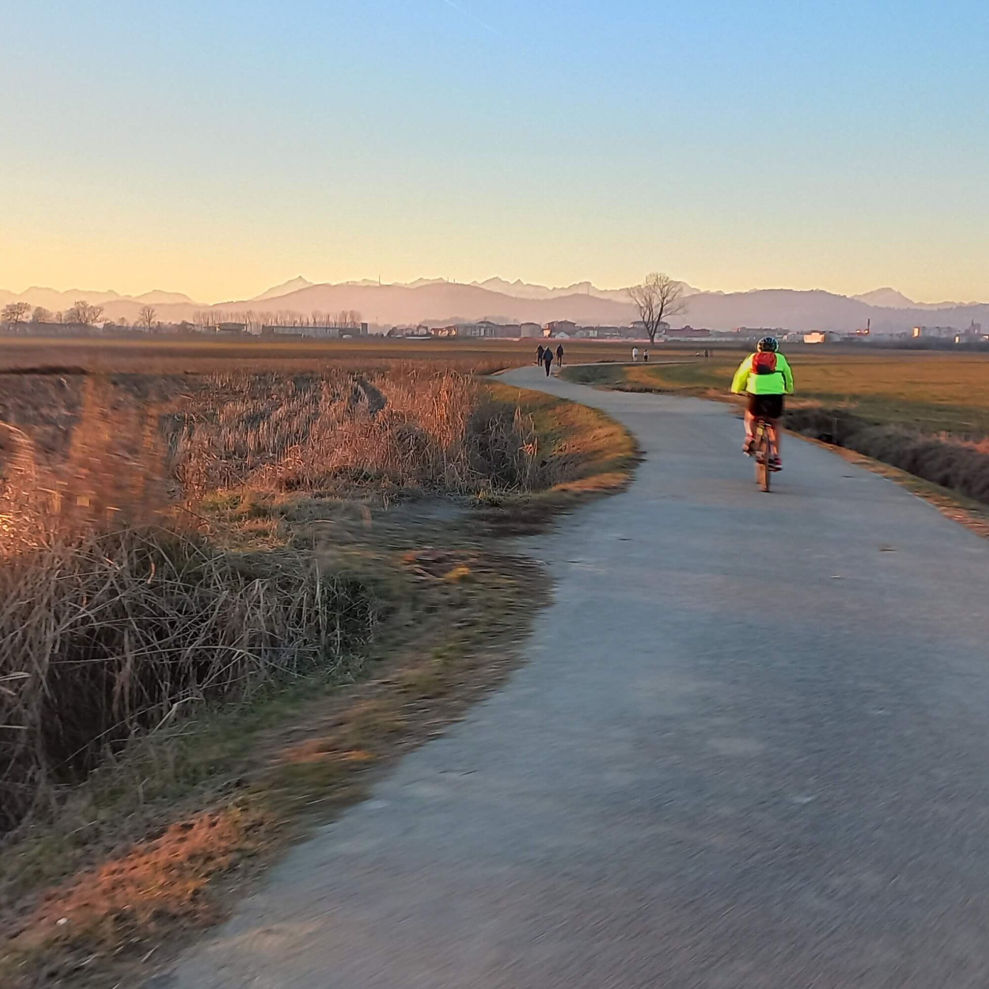
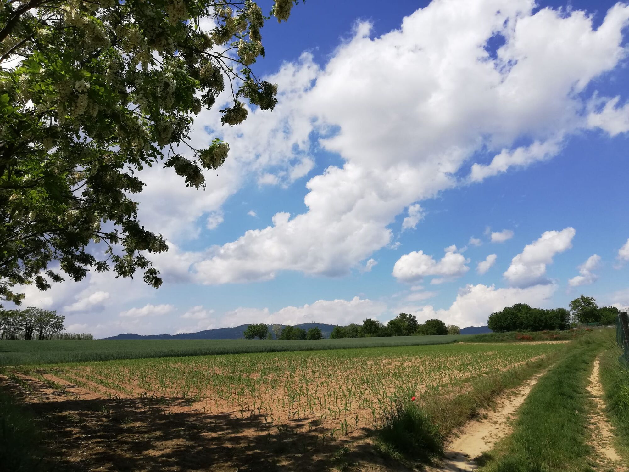
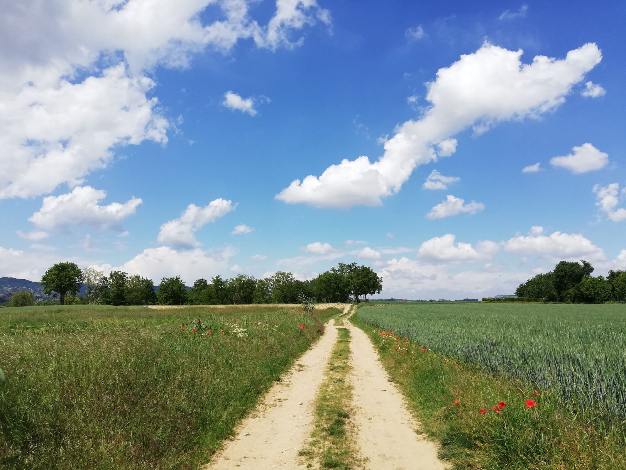

From the starting point we cross the SP122 to enter a bicycle path that we follow for a long stretch , before continuing into a residential area we turn left onto via Camporelle, cross-very carefully-the road to Chieri and take strada Mosi where we meet the MunLab (ecomuseum of clay). We continue on this side road, among cultivated fields, until we reach Borgata Mosi, which we pass. We continue on a dirt road (via Fortemaggiore) that takes us to the Fortemaggiore hamlet. From here behind a farmstead we take a path to the locality Castelguelfo from here a dirt road leads us to the Antico Mulino della Torre di RIva presso Chieri. Turning right we quickly reach the historic center of Riva presso Chieri.
Back at the Mulino della Torre we take the bike path that takes us to Chieri and from here in the direction of Madonna della Scala from where a beautiful section of the Piedmont Blue Way starts and takes us back to our starting point.
Áno
Áno
Seasonally appropriate footwear and clothing are recommended.
Along the route pay special attention to some crossings of roads with fast vehicular traffic.
From the Santena exit, on the Tangenziale Sud, in the direction of Turin, take the first right turn onto Strada per Chieri. Ignore the first three turns towards Cambiano and take the fourth, left at the stop sign. After about 300 m turn right to enter the parking lot.
It is possible to reach the starting point by bike-to-rail from several stations:
Cambiano-Santena (TO), served by the Torino Stura-Arti line (just over 2 km away) Trofarello (TO), served by the Ciriè-Alba and Ciriè-Fossano lines (less than 5 km away) Chieri (TO), served by the Rivarolo Canavese-Chieri line (a little more than 5 km away)The starting point is at a large parking lot
Obľúbené výlety v okolí
-
MONCALIERI - Biking on the water: Le Vallere and Valentino Park
svetloCyklistika 17,0 km -
ANDEZENO - Panoramic loop towards Pino Torinese
strednáCyklistika 35,0 km -
CHIERI - Among vineyards, hills and history toward the Abbey of Vezzolano.
strednáCestný bicykel 58,6 km -
CHIERI - Ring in the surroundings
strednáCyklistika 24,4 km -
TURIN - The tour of the Turin hillside on the "scenic road"
strednáCestný bicykel 36,7 km -
Gran Gravel Tour in the Oltre Collina Torinese in 4 stages
ťažkéDiaľková cyklotrasa 228,0 km -
CHIERI - Ring toward Pavarolo, Montaldo T.se and Andezeno
strednáCyklistika 32,9 km -
CHIERI - Loop towards Riva presso Chieri
Cyklistika 32,5 km -
TURIN - Double loop with 3 adrenaline-pumping MTB descents
ťažkéMountainbike 25,9 km -
Cycling between Arignano, Moriondo and Mombello
strednáDiaľková cyklotrasa 28,1 km
Turistika a stopovanie


Nenechajte si ujsť ponuky a inšpiráciu na ďalšiu dovolenku
Vaša e-mailová adresa bol pridaný do poštového zoznamu.





