






BAGNOLO P.TE: Road to Montoso
Úroveň náročnosti: 1
From Bagnolo Piemonte to Montoso, along Provincial Road 246, the first 2 km leading to the hamlet of Villar have a 6% grade, but be careful: the next 8 km have an average grade of 9.7%, with the maximum...
We recommend—even for cyclists—taking the detour (less than 2 km) to the Sanctuary of Madonna della Neve, a scenic viewpoint.
After a 4-km climb, you’ll reach the first of nine hairpin turns, continuing on to a scenic overlook overlooking the plain, where the view stretches from the “Granda” region to the Turin hills and the Pinerolo area.
From Montoso—the site of an important partisan memorial at its large monument, designed by architect Aimaro Isola and built entirely of local stone—you can continue on to Rucas, extending the route by 5.5 km and adding 500 meters of elevation gain; Alternatively, you can complete the loop back to Bagnolo Piemonte by descending to Bibiana.
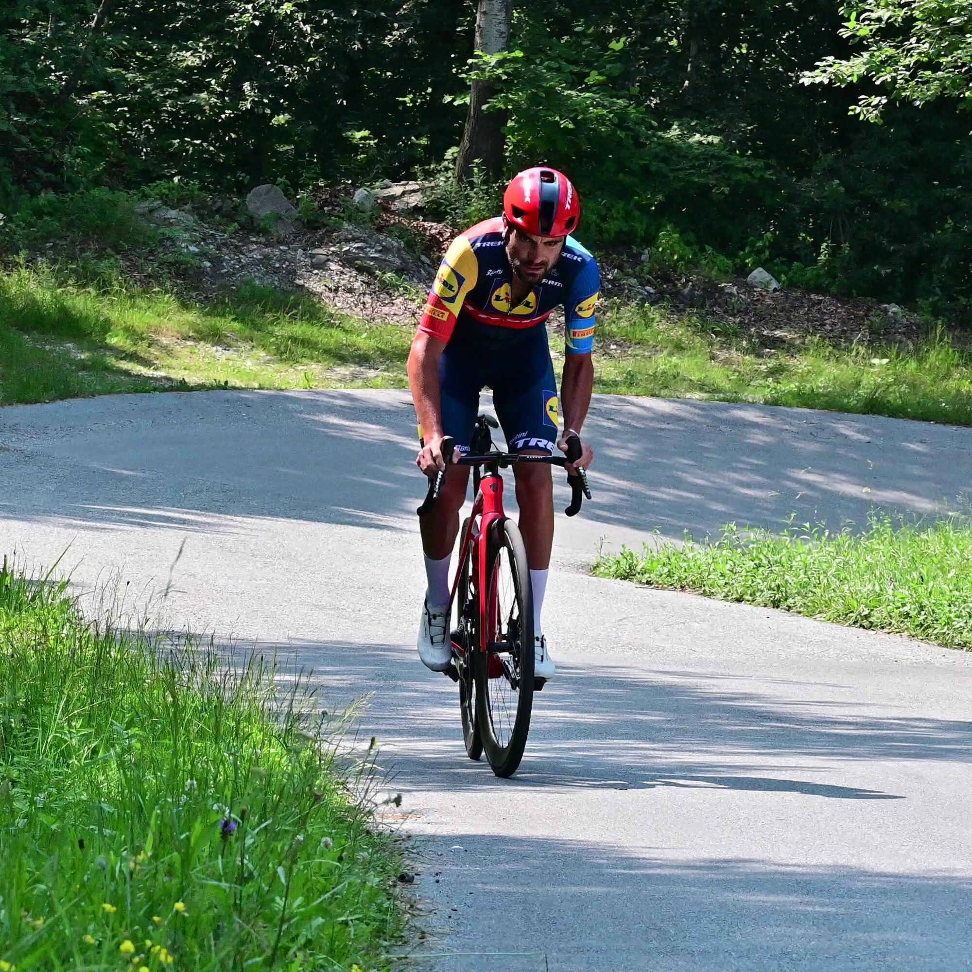
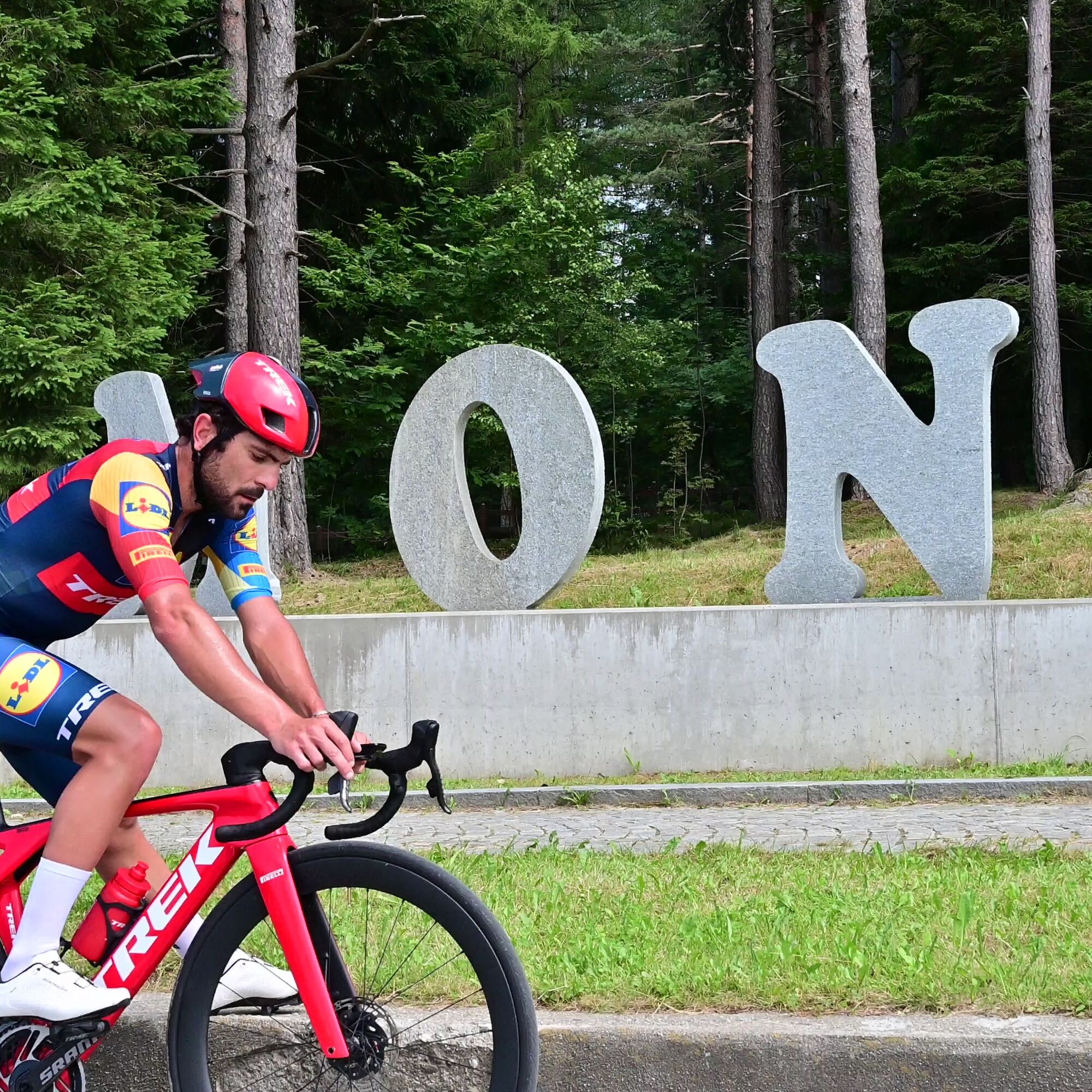

Appropriate clothing and equipment are recommended.
Before setting out on any hike, it is advisable to check the weather reports or ask for information at the local tourist offices.
It’s a good idea not to go on a hike alone; always let someone know where you’re going.
Do not litter; instead, carry your trash with you and, if possible, pick up any trash left by others.
The travel times listed are approximate and may vary depending on weather conditions and your own abilities.
From Turin, take the A55 highway to Pinerolo, then follow Provincial Road 161 through the Val Pellice for about 11 km to Bricherasio. Continuing toward Luserna San Giovanni, you’ll reach the turnoff for Bibiana-Bagnolo Piemonte on the left. Follow the signs, and after about 7 km, you’ll reach the village and the starting point of the route.
Train
www.trenitalia.it
Bus
www.torino.arriva.it
www.cavourese.it
There are several free parking lots in the center of the town of Bagnolo.
1
Average gradient: 8%
Maximum gradient 16%
Upon arrival in Montoso, there are several bars and restaurants
At the start and finish of the route, as well as along the trail, there are kilometer markers indicating the name, distance, and elevation gain of the climb.

Obľúbené výlety v okolí
-
5,0
BOBBIO PELLICE: Hike to the Barbara Lowrie Mountain Hut
ťažkéCestný bicykel 9,19 km -
BRICHERASIO The Via della Pietra
svetloDiaľková cyklotrasa 11,5 km -
PRAROSTINO From Piani to Sonagliette and back - SLOWLY TOGETHER
svetloTuristika 6,60 km -
BOBBIO PELICE Trekking in the hamlets and forests around Bobbio
strednáTuristika 7,72 km -
TORRE PELLICE The Shepherds' Way
svetloMountainbike 11,0 km -
TORRE PELLICE Naturalistic trail "The Jay"
svetloTuristika 10,2 km -
VILLAR PELLICE Inverso path
svetloTuristika 5,62 km -
LUSERNA S.G. Upslowtour - Angrogna Valley Ring 11
strednáCyklistika 35,0 km -
TORRE PELLICE Hike to Bars d'la tajola (and Monte Castlus)
strednáTuristika 4,40 km -
BOBBIO PELLICE Trail of the Invincibles
strednáTuristika 19,1 km
Turistika a stopovanie


Nenechajte si ujsť ponuky a inšpiráciu na ďalšiu dovolenku
Vaša e-mailová adresa bol pridaný do poštového zoznamu.





