







SAN SECONDO DI PINEROLO Ascent to Prarostino
Úroveň náročnosti: 1
A fine test from the average gradient of 7.2 percent That follows Provincial Road No. 165, an ascent characterized immediately by scenic switchbacks to the hamlet of Rocco.
Once we enter a shadier section,...
Once we enter a shadier section, the last mile and a half the road climbs again, offering 600 very challenging meters under the wheels with double-digit gradients.
At the apex, the iconic Liberty Lighthouse.

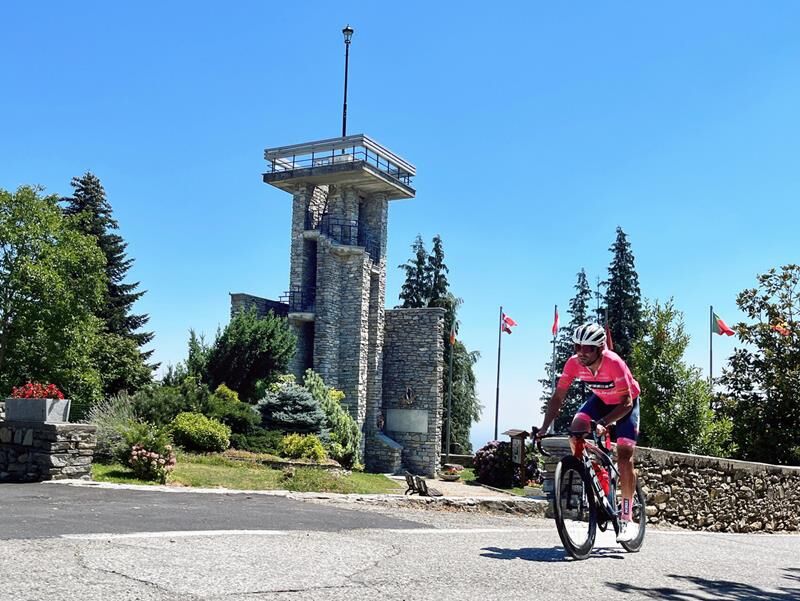
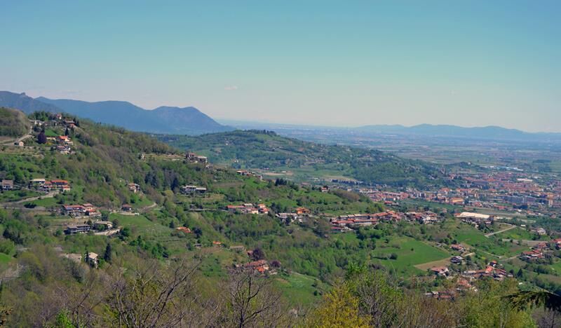
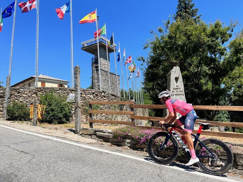

Appropriate clothing and equipment are recommended.
Before embarking on any hike, it is advisable to consult weather reports or ask for information at local Tourism Offices.
It is good practice not to embark on a hike alone, always notify your destination.
Do not throw garbage into the environment but take it with you picking up any garbage left by others.
The hiking times given are approximate and may vary depending on weather conditions and your own ability.
From Turin simply take the A55 freeway to Pinerolo, then follow the SP 161 Val Pellice road for about 3 km and then at the first traffic circle turn right onto SP 165 for another 2 km, arriving in the center of San Secondo di Pinerolo.
Alternatively, you can follow the Pinerolo ring road to the junction with SP 164 in Prarostino and reach San Secondo (2.5 km) via the hamlet of Miradolo.
After reaching Pinerolo by bus or train, it is possible to reach San Secondo di Pinerolo directly by bicycle in about 15 minutes (4.5 km) via the hamlet of Miradolo.
Several free parking lots are located at the starting point of the route.
1
Average slope 7.21 %
Maximum slope 15.9 %
Obľúbené výlety v okolí
-
5,0
Invincibles valley - Alpe Caugis
Turistika 15,3 km -
BRICHERASIO The Via della Pietra
svetloDiaľková cyklotrasa 11,5 km -
PINEROLO Route to Monte Muretto
strednáTuristika 2,12 km -
TORRE PELLICE The Shepherds' Way
svetloMountainbike 11,0 km -
TORRE PELLICE Naturalistic trail "The Jay"
svetloTuristika 10,2 km -
PRAROSTINO From Piani to Sonagliette and back - SLOWLY TOGETHER
svetloTuristika 6,60 km -
VILLAR PELLICE Inverso path
svetloTuristika 5,62 km -
BOBBIO PELLICE Trail of the Invincibles
strednáTuristika 19,1 km -
TORRE PELLICE Hike to Bars d'la tajola (and Monte Castlus)
strednáTuristika 4,40 km -
LUSERNA S.G. Upslowtour - Angrogna Valley Ring 11
strednáCyklistika 35,0 km
Turistika a stopovanie


Nenechajte si ujsť ponuky a inšpiráciu na ďalšiu dovolenku
Vaša e-mailová adresa bol pridaný do poštového zoznamu.





