







In the snowy heart of the Veglia-Devero Natural Park

Úroveň náročnosti: WT2
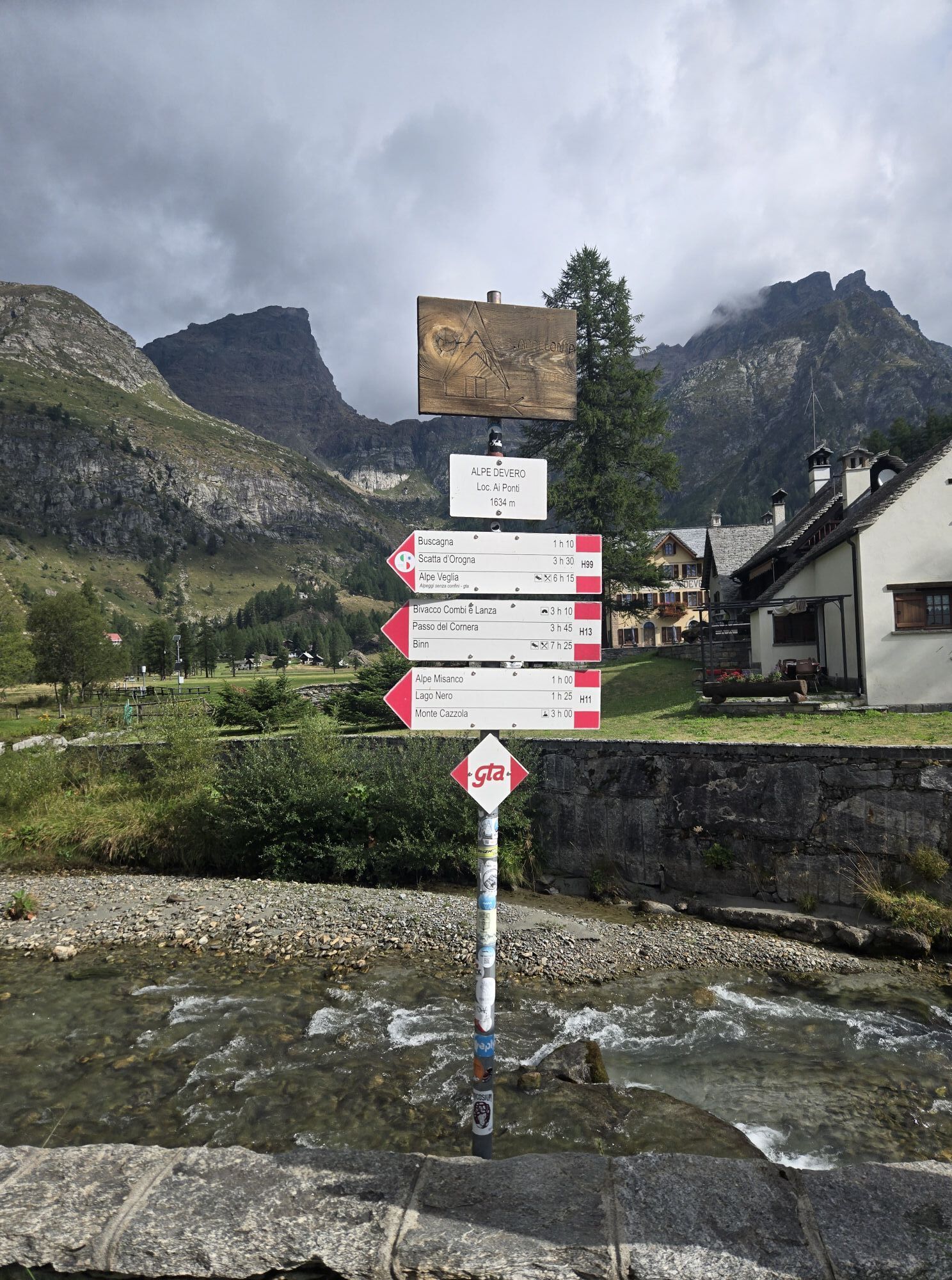
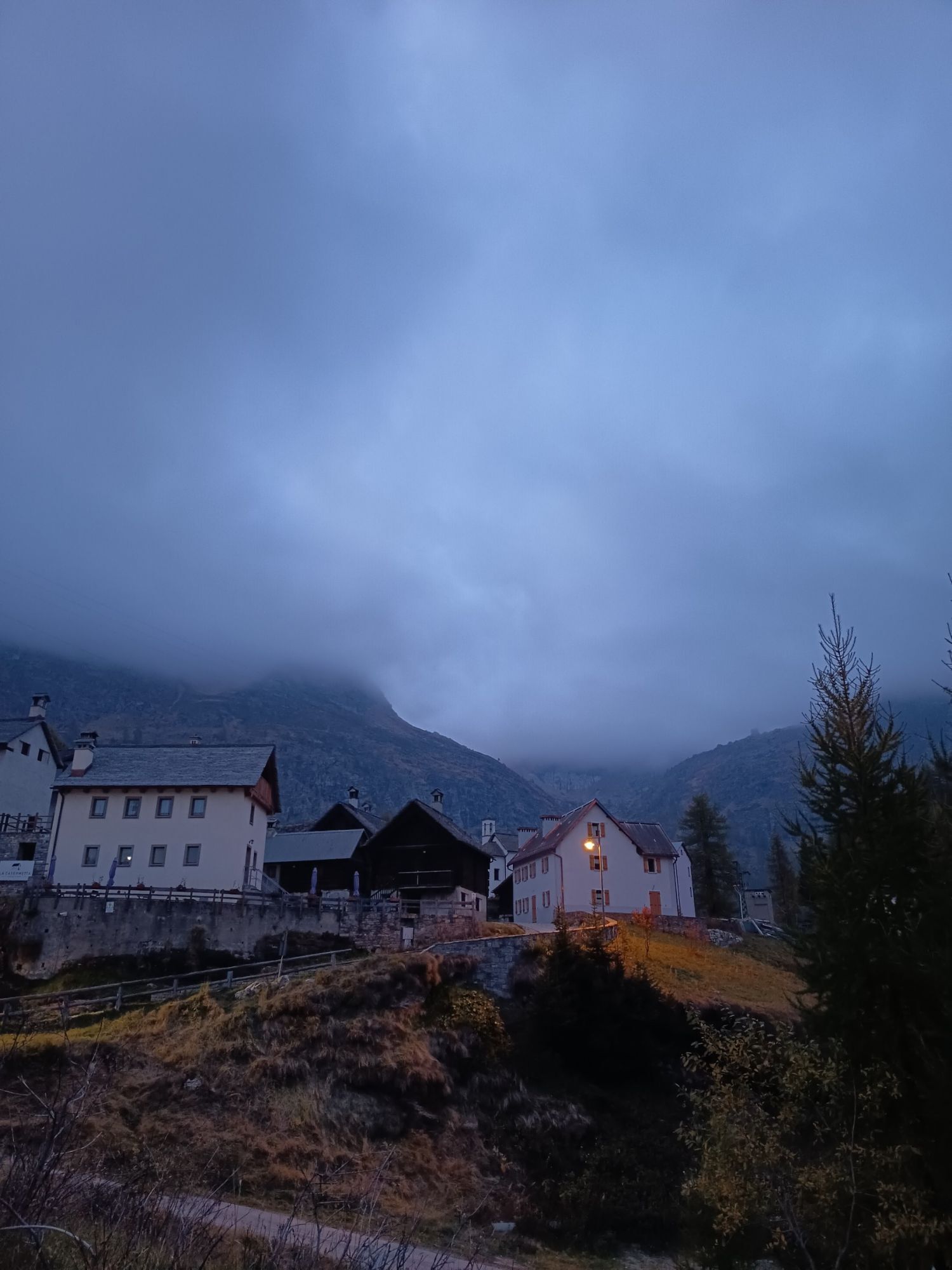
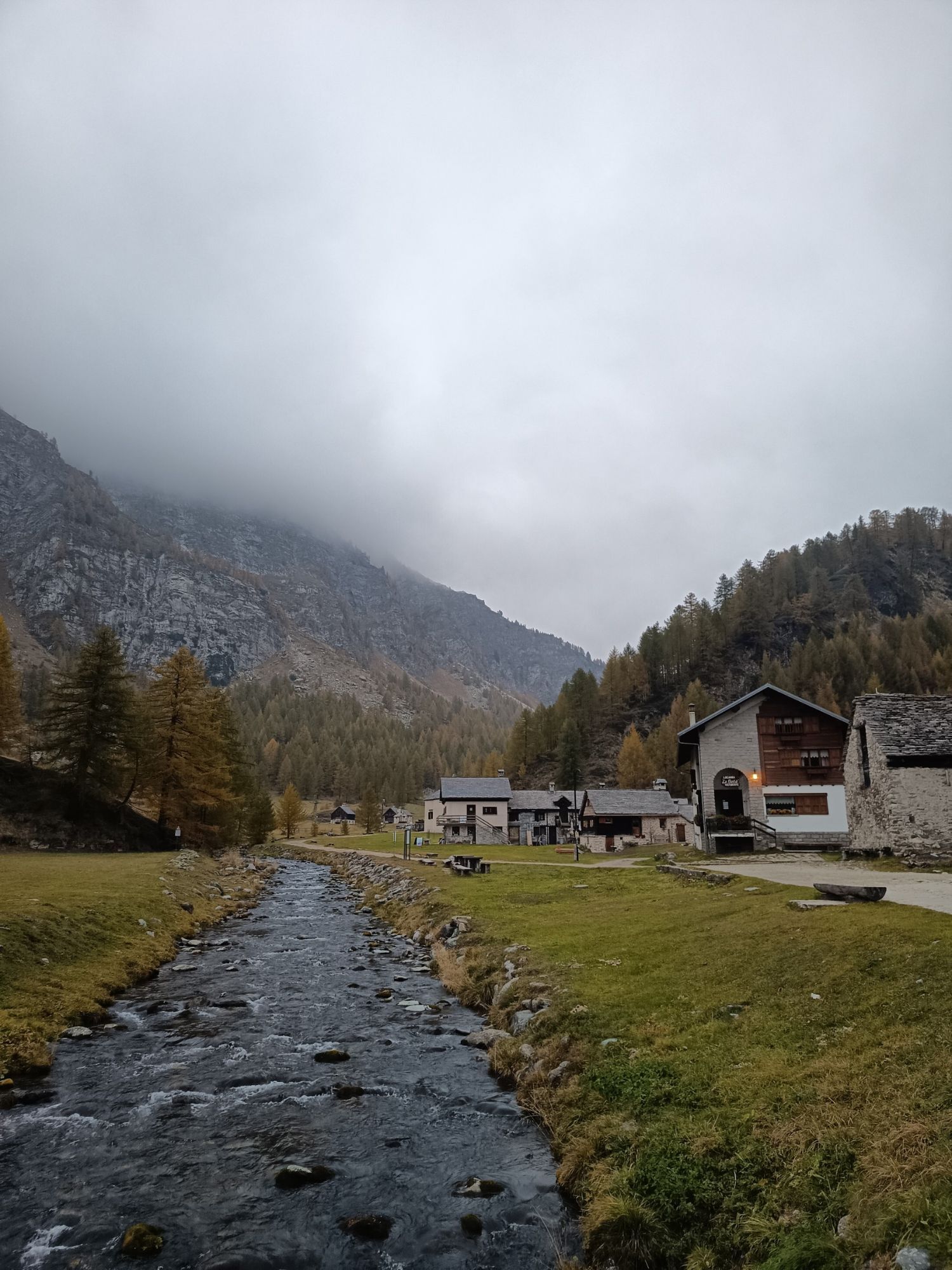
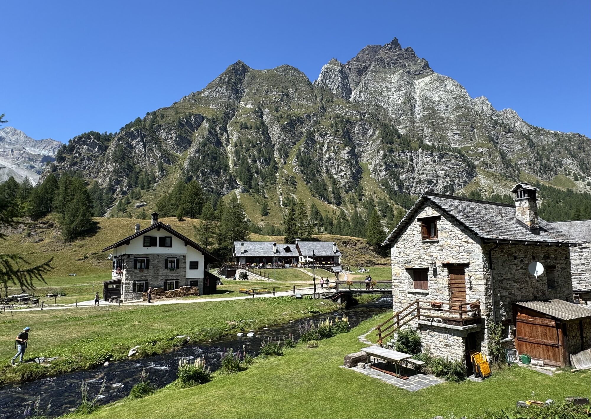
From the Alpe Devero parking lot, climb the snow-covered road that leads to the white church of Alpe Devero, in the hamlet of Ai Ponti.
Just behind it, cross the bridge on the right, paying attention to...
Just behind it, cross the bridge on the right, paying attention to the white house right next to it: next to the window, you can see the snow depths reached in 1951 and 2009: impressive! After a few steps, turn right (signposted) to reach the second bridge, beyond which you must keep left, climbing slightly as the trail becomes a path.
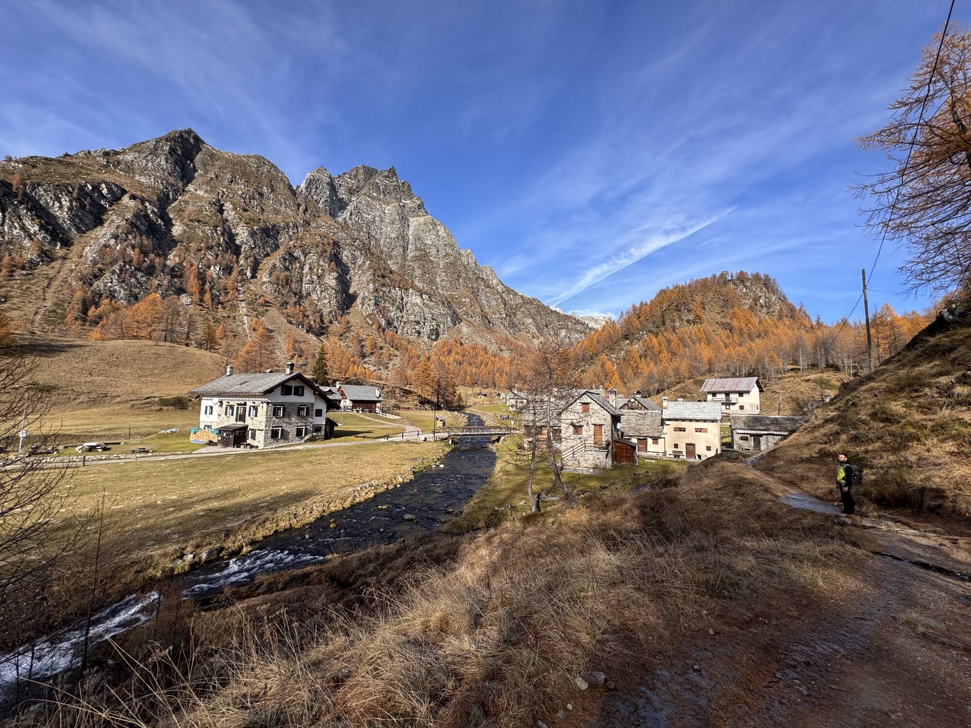
The route, well marked by diamonds high in the trees, visible from afar, winds steadily and gradually uphill, with a few steeper sections. Keep along the Devero stream, which initially flows through narrow gorges, then moves slightly away from it (always stay on the path marked by the diamonds and do not follow the red/white summer signs), always in the thick of a peaceful larch forest. After passing some houses somewhat hidden on the left, you'll return to the stream. Pay attention to the steep slopes you see to the left; being very exposed, they're the first to shed snow, and if you're lucky, you might spot a deer.
The trail leads to the junction with trail number 3, which should be ignored, and immediately afterward, the clearing appears where the houses of Corte d'Ardui are located. A short, almost flat stretch leads to Motto di Crampiolo, with a small shrine. The trail veers sharply to the left and leads to the bridge that allows you to cross the stream, leading onto what is a dirt road in the summer. Caution: the dirt road between this point and Alpe Devero, on the left, is closed in the winter and should NOT be used due to avalanche risk!
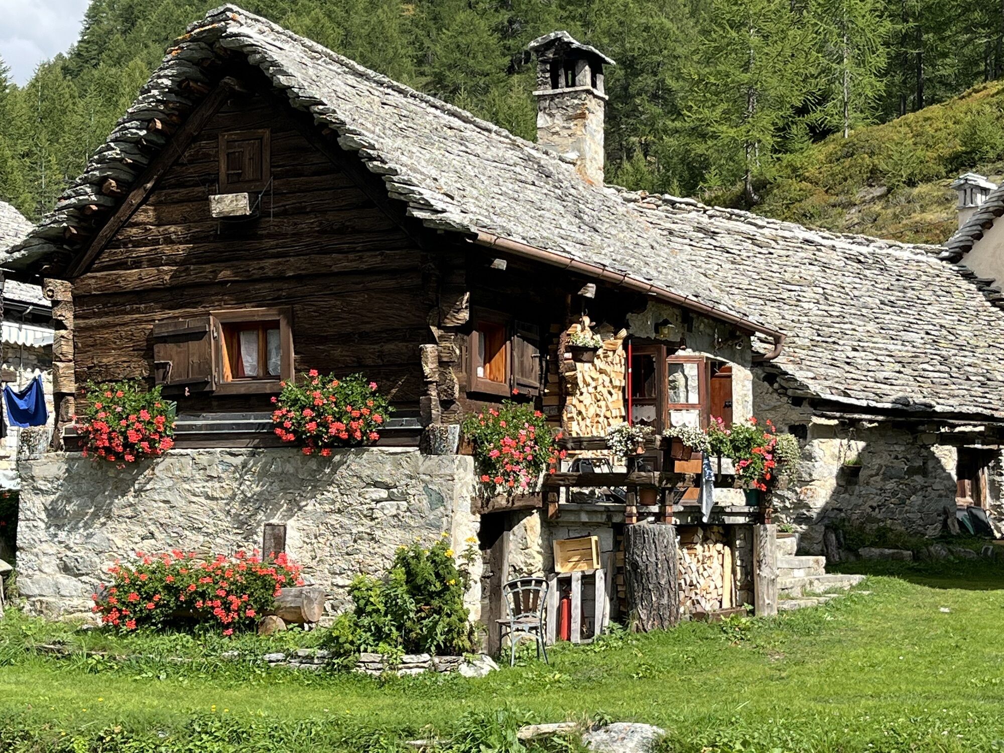
Taking a right, you walk on level ground towards the houses of Crampiolo, all beautifully restored in stone and wood. After crossing the bridge, continue along the stream for a short distance, arriving at the beautiful white church.
The return route is the same as the outward journey. Alternatively, a similarly long loop can be done. From the church, continue to the bridge and cross the stream; then, take the obvious ski trail on the left that leads back to Alpe Devero, passing through the hamlets of Vallaro and Cantone. When following this route, be sure to avoid turning off toward the Lago delle Streghe (Witches' Lake), as it is located in an area often exposed to avalanches.


Pink diamond signs “route 1”.
Áno
Áno
- Hiking shoes or mountain boots, depending on the area, terrain, and altitude where you're hiking;
- Bring gloves, a hat, sunglasses, and sunscreen;
- Bring a backpack with a spare shirt and hot drinks;
- Always check the slopes above you during your hike;
- Avalanches typically occur on slopes steeper than 25° and can continue to travel even on flat ground.
Check the weather and snow conditions, especially local forecasts; check the avalanche bulletin for your area.
Alpe Devero is 31 km from Domodossola. Take the Sempione State Road 33 and exit at Crodo. Follow signs for Baceno/Val Formazza; once you reach the center of Baceno, take the municipal road that leads up to Devero (about 7 km).
Parking at the entrance to Alpe Devero
WT2
An easy hike, suitable for children too, through open yet picturesque environments, including larch forests, clearings, and isolated houses. The snow-covered village of Crampiolo is magnificent, while the open surroundings invite play and relaxation. This hike is suitable for everyone, perfect for beginners.
Obľúbené výlety v okolí
-
5,0
Binntal, Twingischlucht- Binn nach Ernen
strednáTuristika 10,6 km -
5,0
San Domenico - Alpe Veglia - San Domenico Rundwanderung
strednáTuristika 13,9 km -
Blinnenhorn route
ťažkéTuristika 106,6 km -
4,0
Punta dei Camosci (Bättelmatthorn)
ťažkéTuristika 14,4 km -
Rosswald – Bortelhütte – Rothwald
strednáTuristika 14,8 km -
5,0
Impfeld - Mässersee circular tour
svetloTuristika 8,85 km -
Binntal Schaplersee-Weg
strednáTuristika 7,91 km -
Circular route Grathorn
ťažkéTuristika 14,5 km -
GTA: Stage 11 Alpe Devero - Alpe Veglia
strednáTuristika 13,8 km -
Gommer forest path Reckingen - Niederwald
strednáTuristika 10,3 km
Turistika a stopovanie


Nenechajte si ujsť ponuky a inšpiráciu na ďalšiu dovolenku
Vaša e-mailová adresa bol pridaný do poštového zoznamu.





