



DI VALLE IN VALLE: Tappa 3 Roy - Rimella

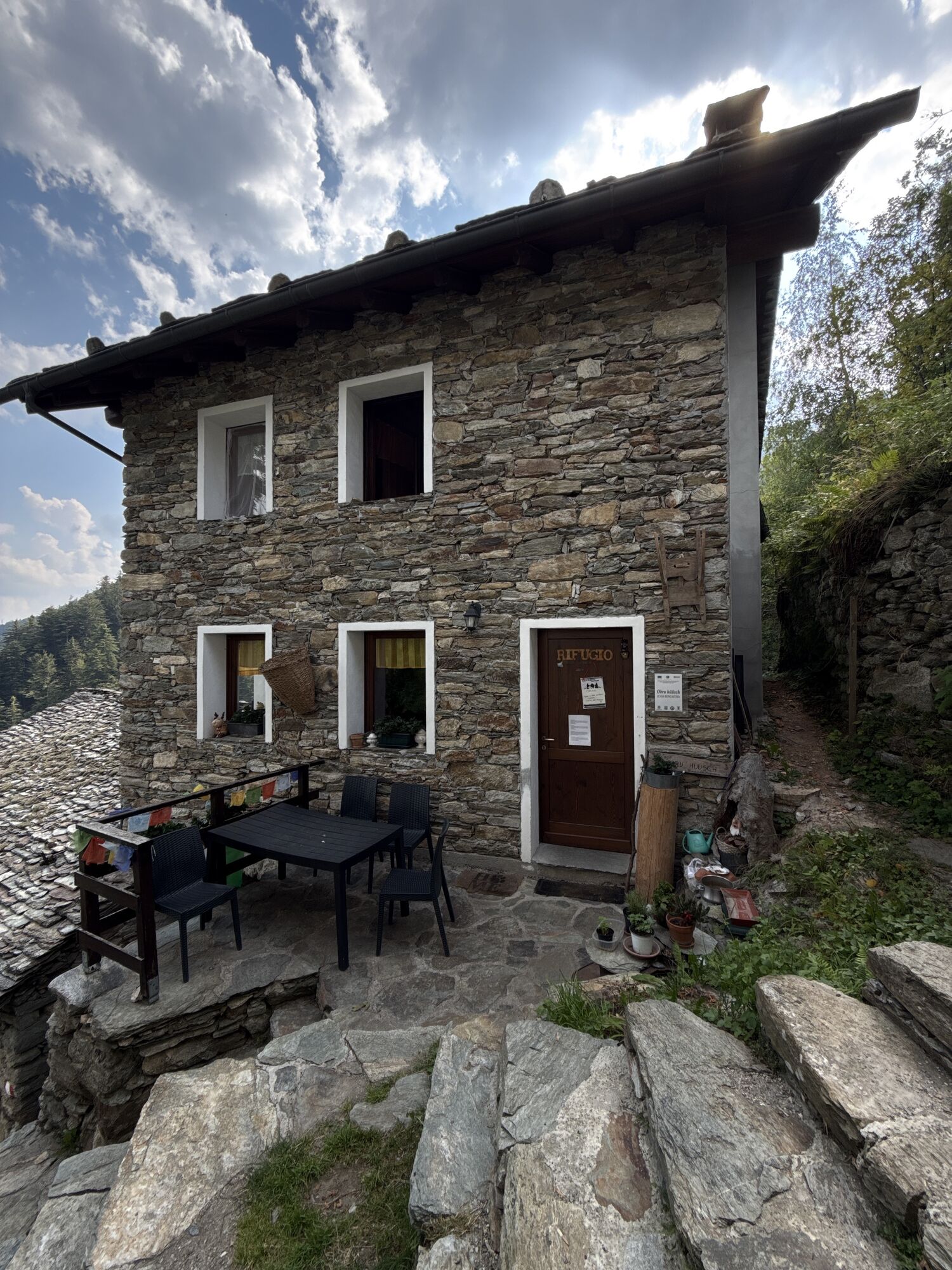

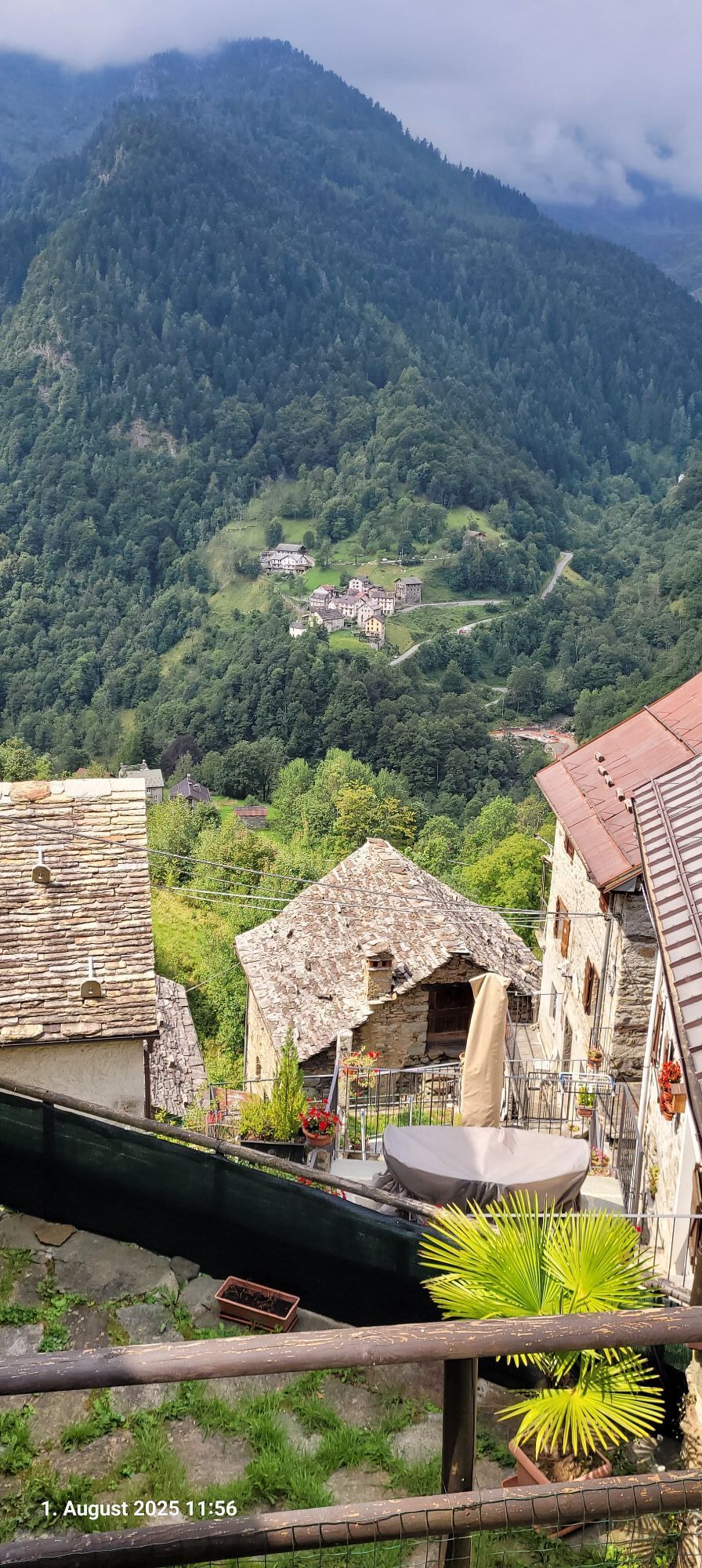
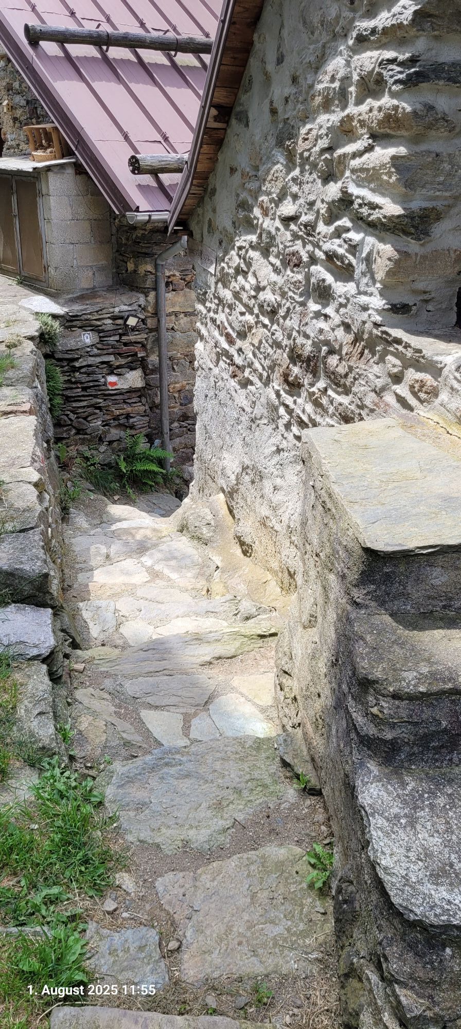

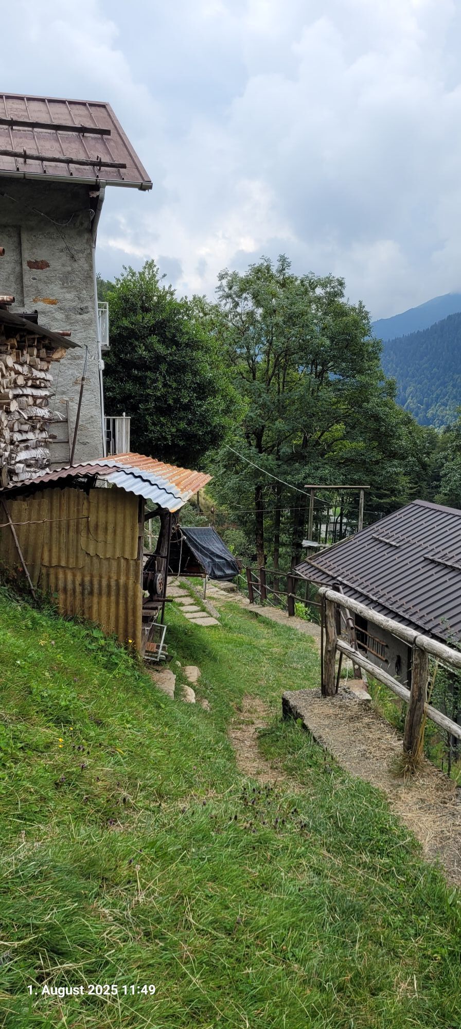
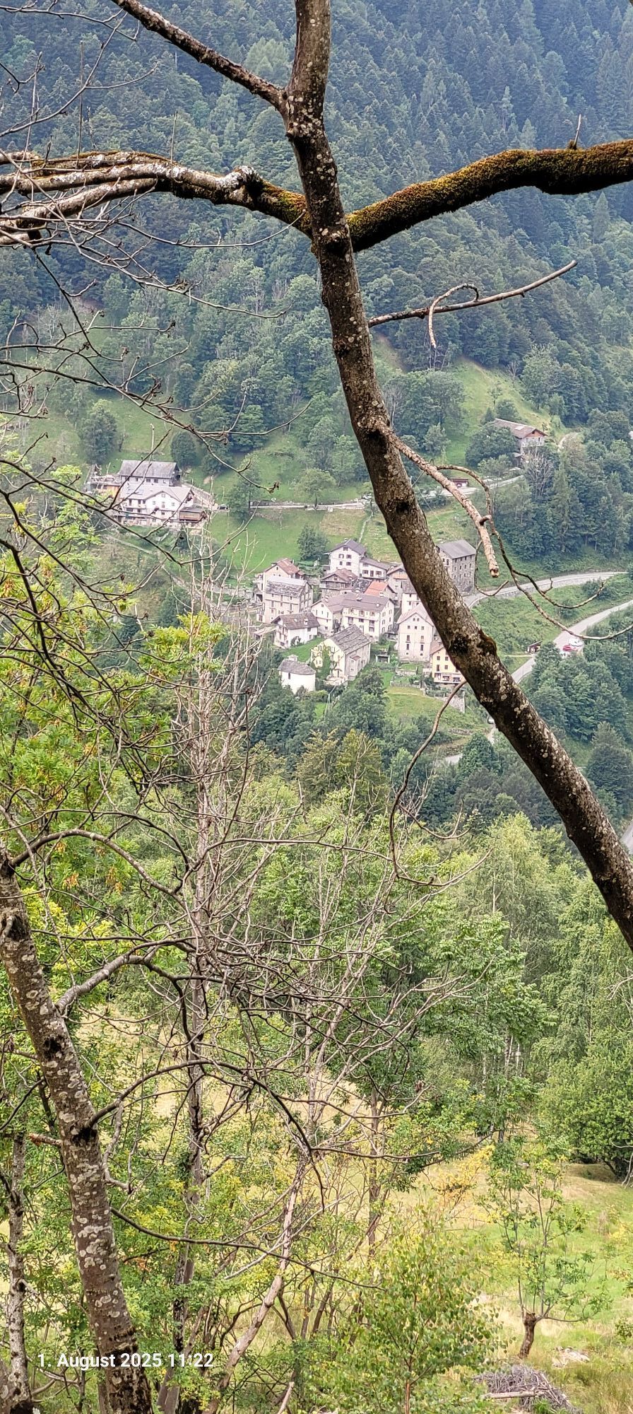
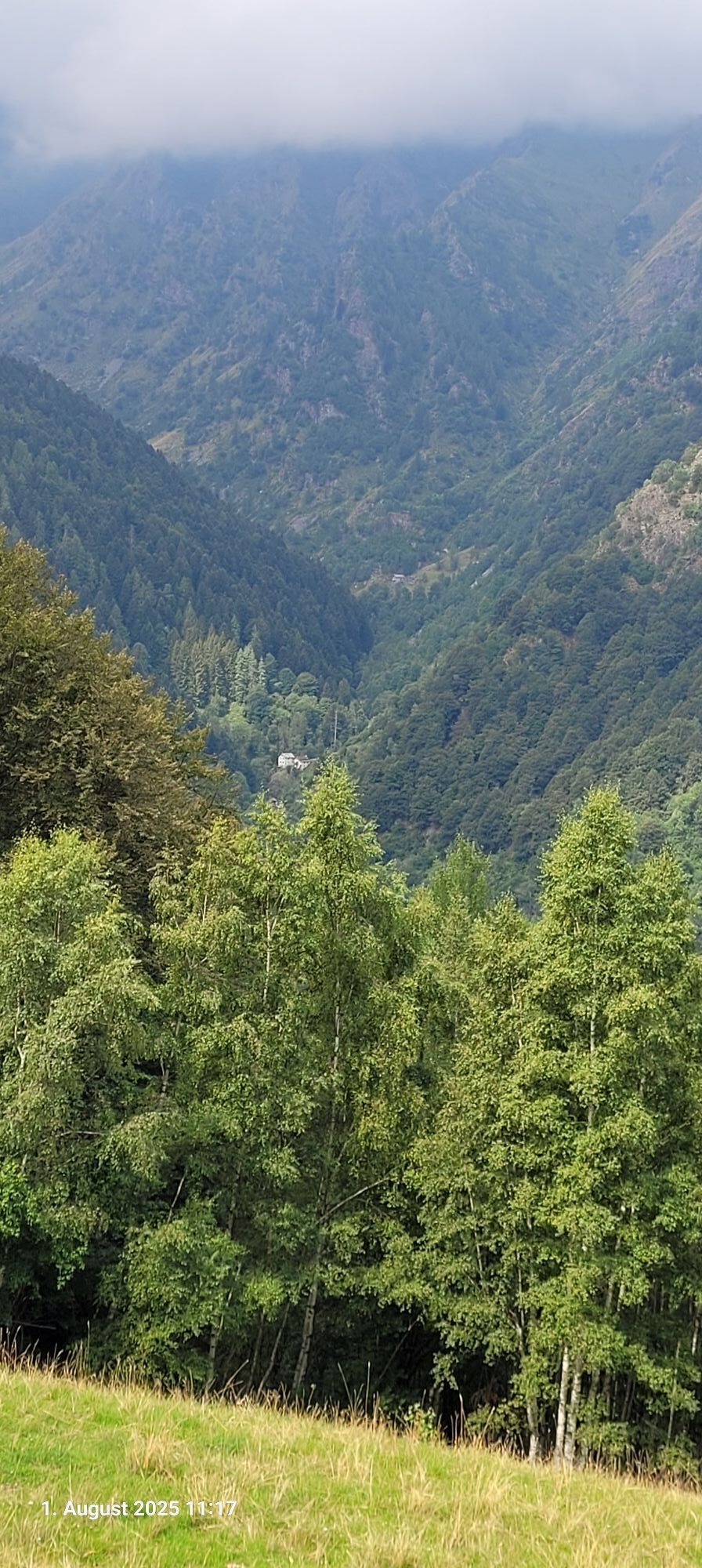
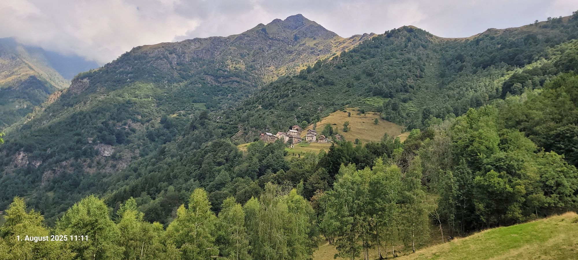
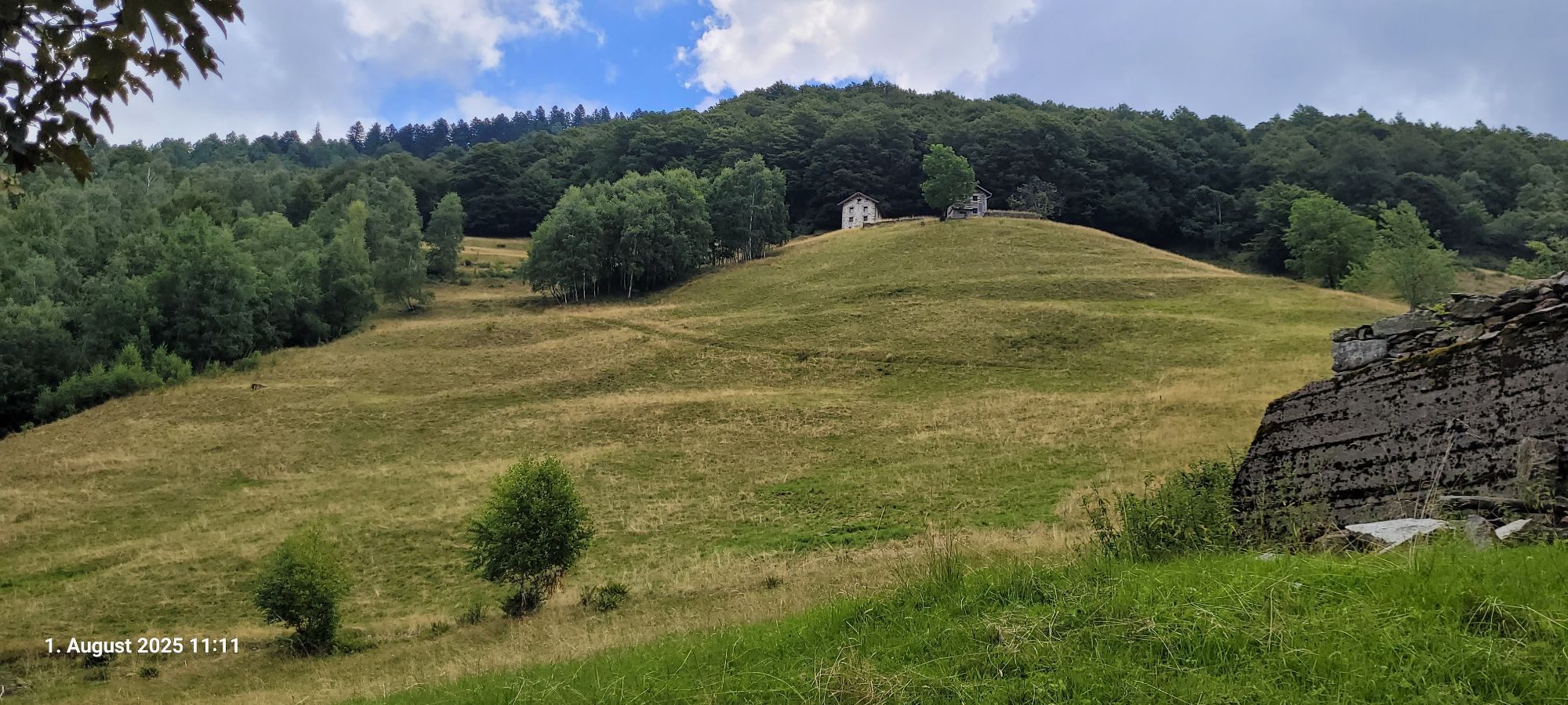
From Roy, the last stretch of the itinerary connects the municipality of Fobello to the municipality of Rimella, always using pedestrian paths. It is in fact possible to go down from Roy to Boco Inferiore...
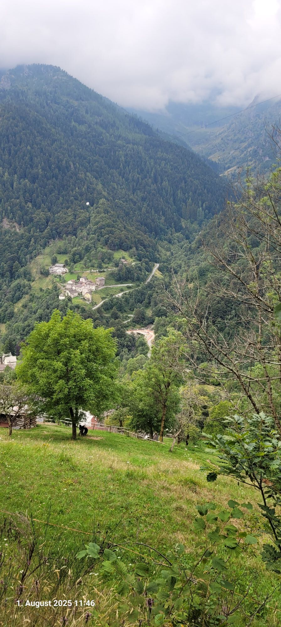
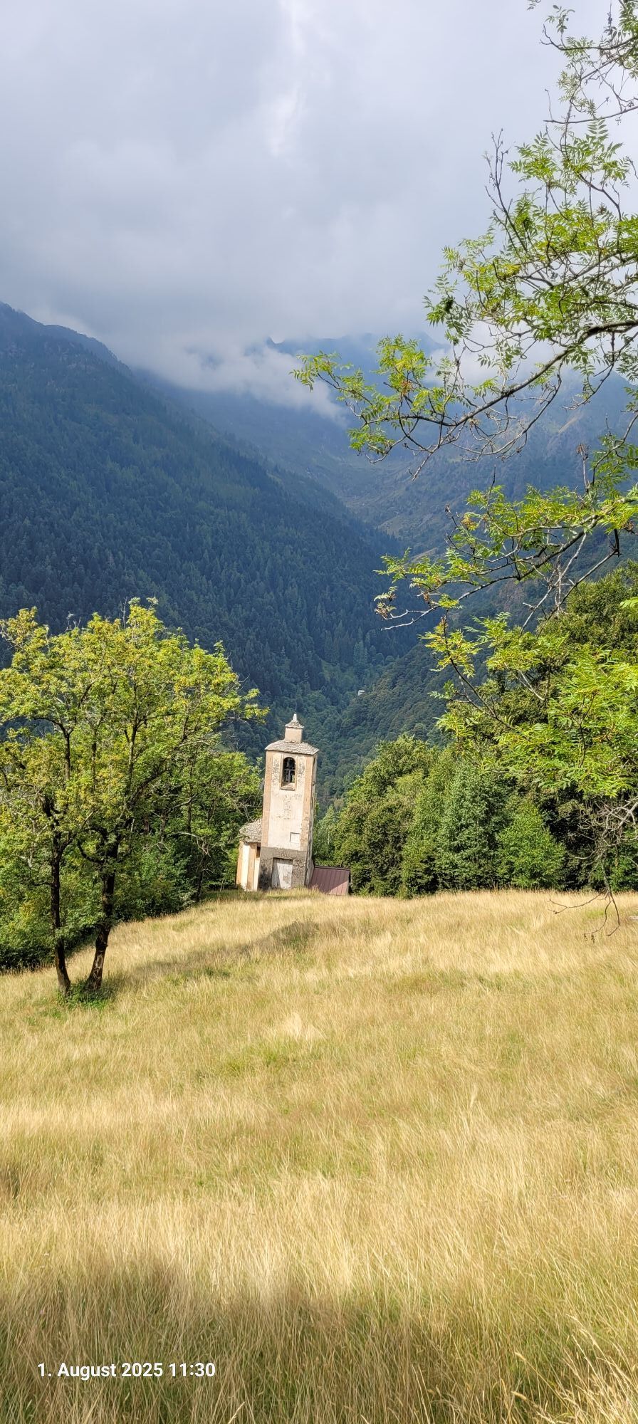
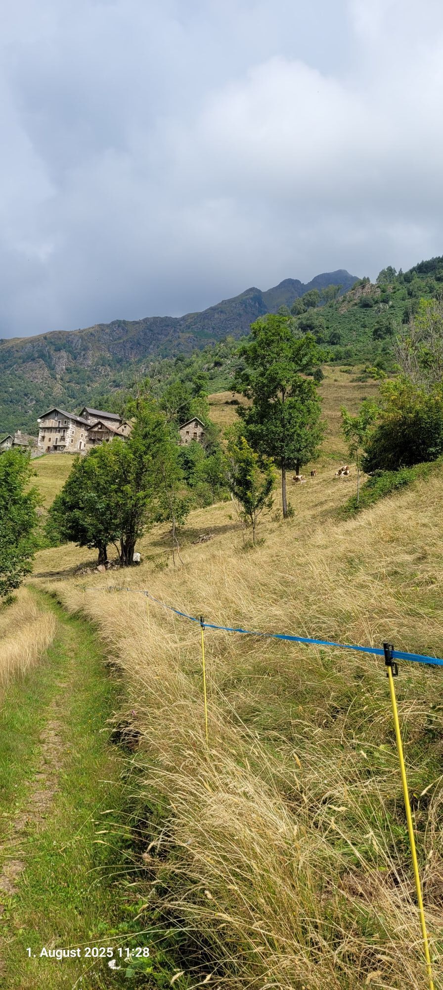
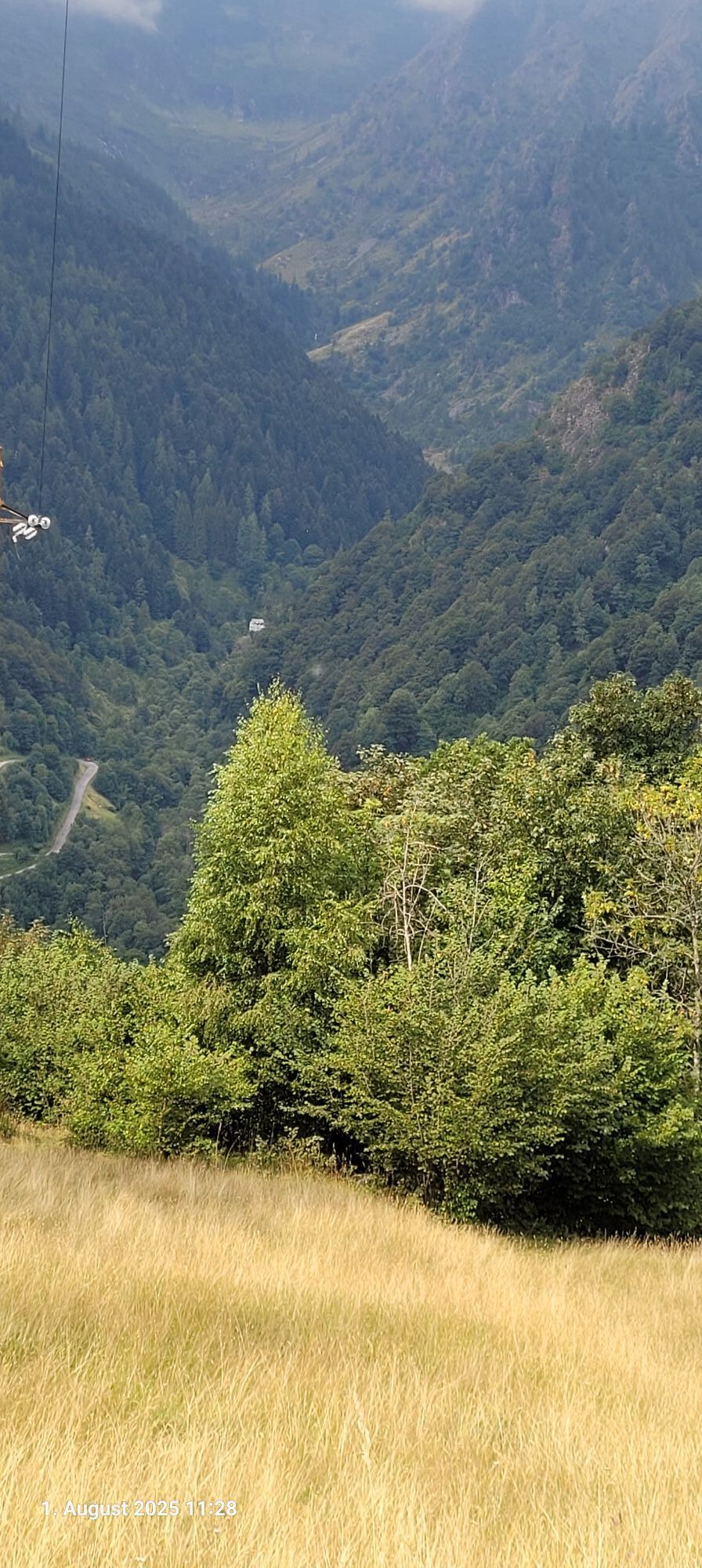
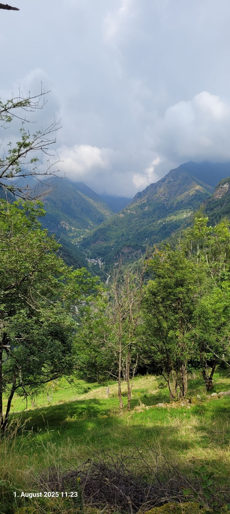
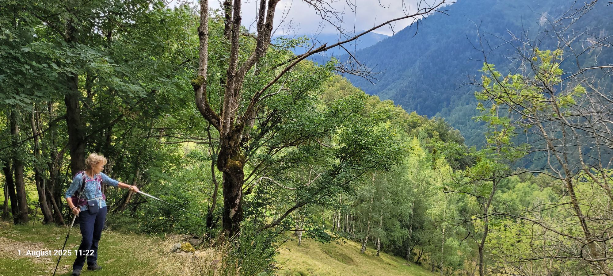
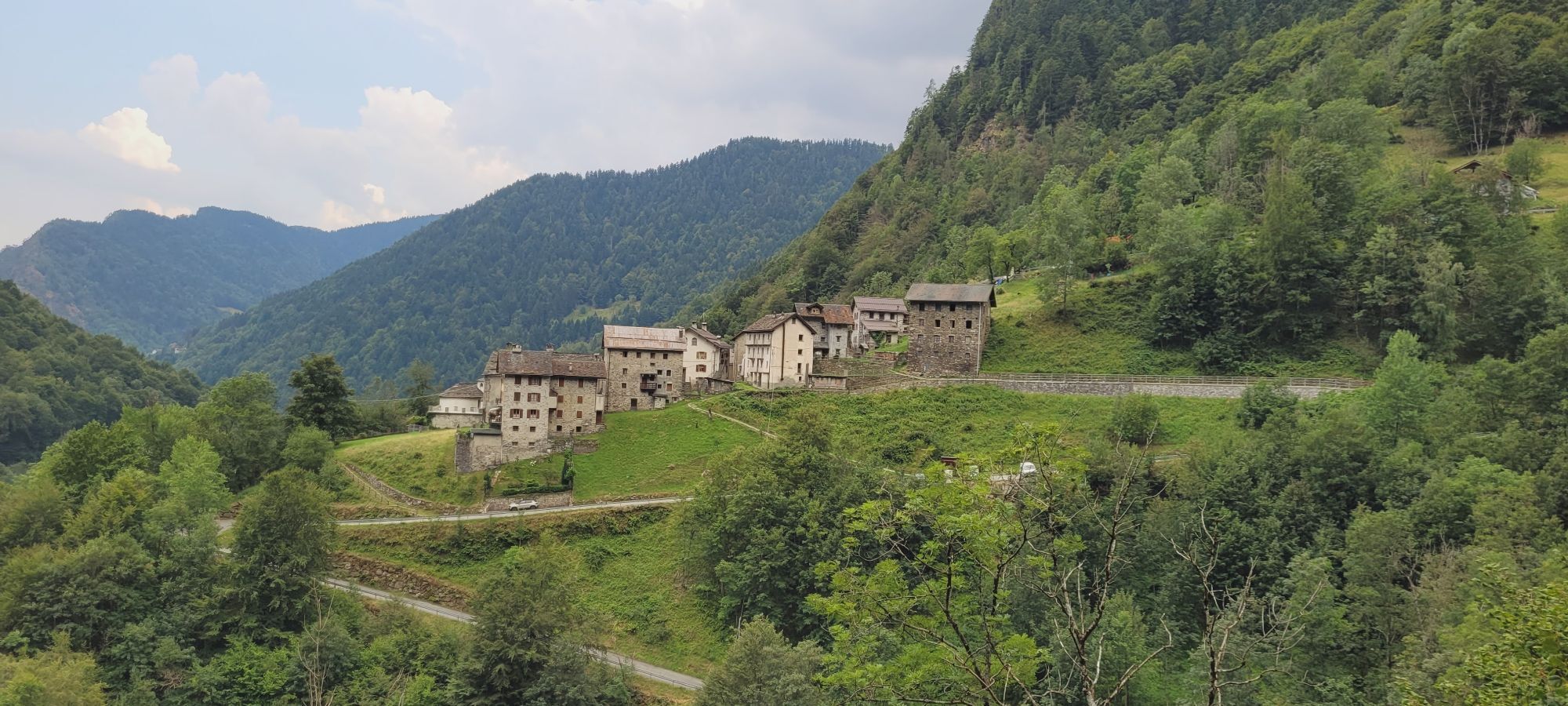
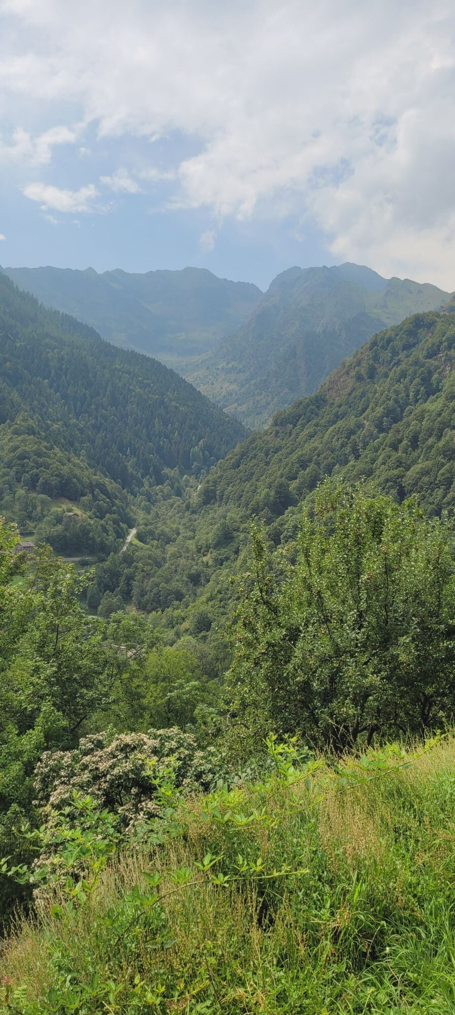
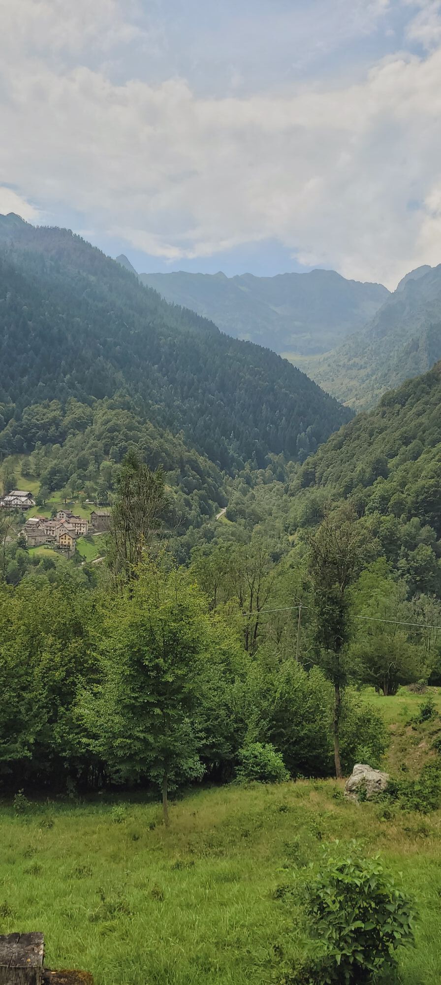
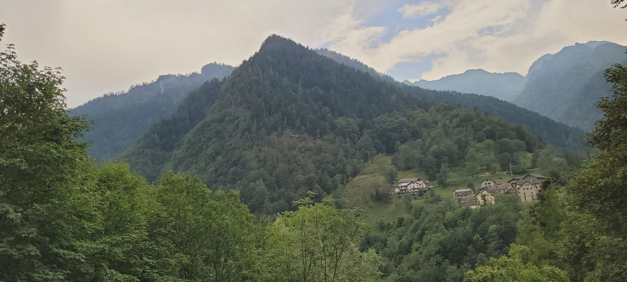
From Roy, the last stretch of the itinerary connects the municipality of Fobello to the municipality of Rimella, always using pedestrian paths. It is in fact possible to go down from Roy to Boco Inferiore and from here go up in order to Riva, to Boco Superiore, to the crossroads for Ronco and finally reach Belvedere, where the GTA intersects again and taking the VCA525 path you go up to the Res di Fobello , where there is a small equipped rest area and there is a B&B with refreshments. - From the Res di Fobello you then descend to the Municipality of Rimella, always following the route also used by the GTA with trail sign 538, until you reach Roncaccio Superiore, where there is an active alpine refuge. From Roncaccio Sup. you descend along the 537 to the hamlet of Grondo near the Landerwasser stream, where there is an equipped rest area and where the itinerary ends reaching the carriage road.



Áno
mixed TIM - VODAFONE
Provincial road 299 of Valsesia up to Varallo and SP of Val Mastallone up to the car park in the hamlet of Roj di Fobello or in the hamlet of Grondo di Rimella
FLEXIBUS on-call service with terminus in VARALLO unionemontanavalsesia.it/Servizi/Usare un mezzo di transport/Urban - Extraurban transport
Fobello Capital - The hamlets of Fobello crossed (Roj, Boco Inf., Riva, Boco Sup., Belvedere) - Alpe La Res - The hamlets of Rimella crossed (Roncaccio Sup., Grondo) and the neighboring hamlets of Rimella. The ethnographic museums of Fobello and Rimella. The protected area of the Roj valley. The river environments of the Mastallone and Landerwasser streams and the fishing reserves and selection of fish fauna.
Obľúbené výlety v okolí
-
Grande Traversata delle Alpi - GTA: Tratto Nord Piemonte
ťažkéTuristika 181,3 km -
2,0
Alpe Quaggione - Monte Massone - Alpe Quaggione
strednáTuristika 15,8 km -
4,0
Alpe Piè di Baranca - Colle d'Egua
strednáTuristika 12,2 km -
3,0
Omegna Valley cycle
strednáElektronický bicykel 38,8 km -
Carcoforo- colle del termo- rima
strednáHorská turistika 8,38 km -
Stra' Granda Stage 1: Piedimulera - Pontegrande
svetloTuristika 12,2 km -
Stra' Granda
strednáTuristika 50,4 km -
Via Geoalpina | Stage 7 Vogogna - Campello Monti
strednáTuristika 19,4 km -
Ciclabile della Valsesia: Tappa 3 Varallo - Scopello
ťažkéDiaľková cyklotrasa 19,8 km -
Stra' Granda Stage 2: Frazione di Pontegrande - Frazione Staffa
svetloTuristika 18,1 km
Turistika a stopovanie


Nenechajte si ujsť ponuky a inšpiráciu na ďalšiu dovolenku
Vaša e-mailová adresa bol pridaný do poštového zoznamu.


