


Percorsi Occitani: Tappa 15 Cartignano - Dronero
Fotografie našich používateľov
-
 © Fabrizi MellanoVytvorené dňa 15.03.2026
 -
 © Fabrizi MellanoVytvorené dňa 15.03.2026
 -
 © Fabrizi MellanoVytvorené dňa 15.03.2026
 -
 © Fabrizi MellanoVytvorené dňa 15.03.2026
 -
 © Fabrizi MellanoVytvorené dňa 18.01.2026
 -
 © Fabrizi MellanoVytvorené dňa 18.01.2026
 -
 © Fabrizi MellanoVytvorené dňa 09.05.2025
 -
 © Fabrizi MellanoVytvorené dňa 08.04.2025


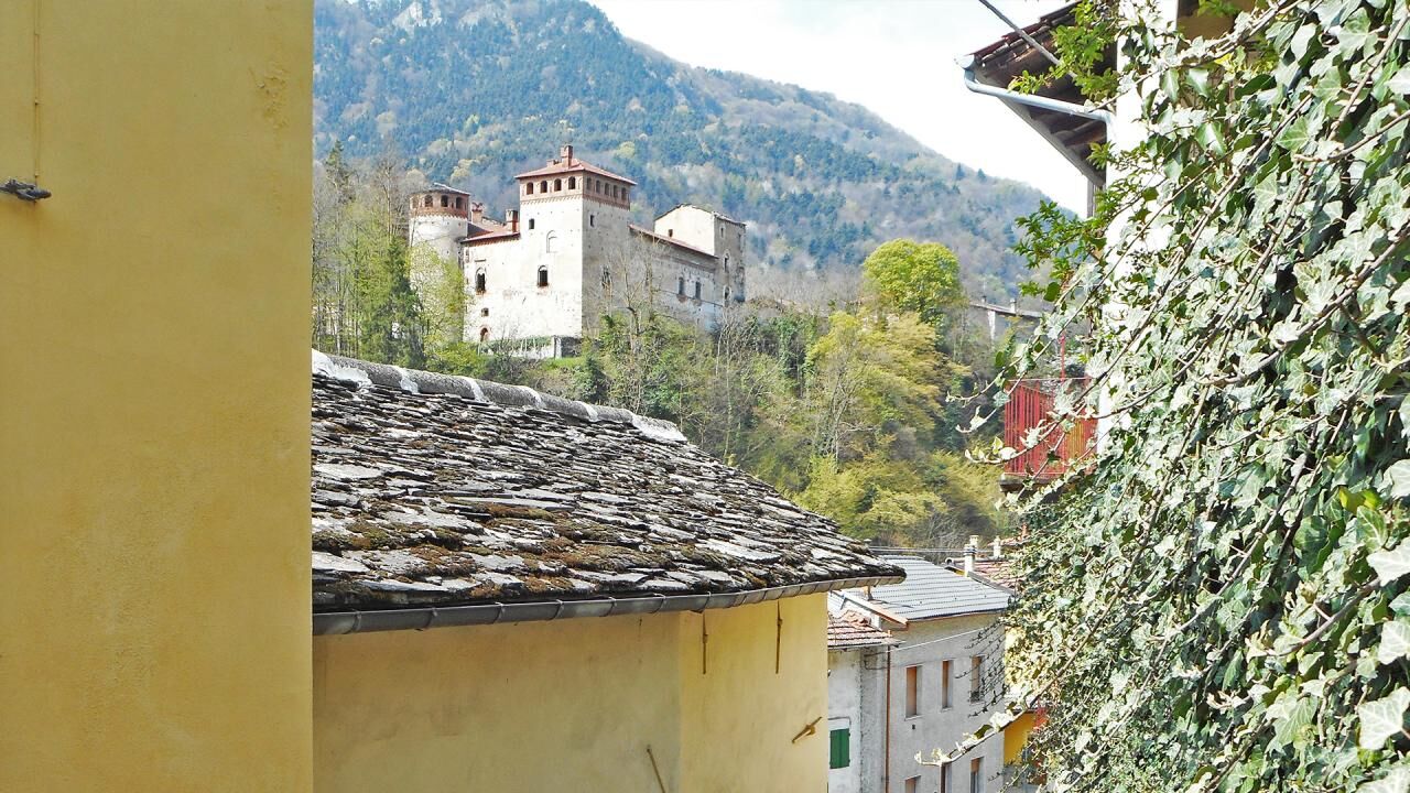
The last stage involves a path with no difference in height. From Cartignano we take the path downhill along cultivated fields and agricultural properties. In short, you reach Ponte Bedale (Bridge) and...
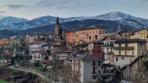
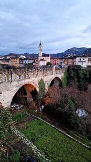
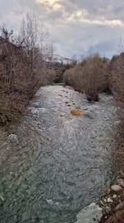
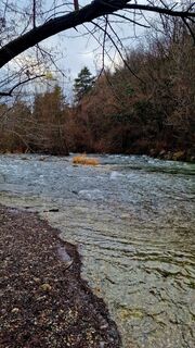
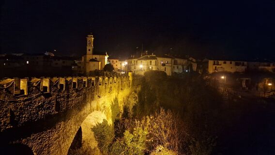
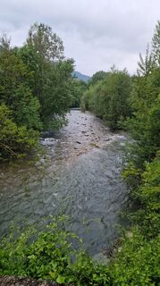
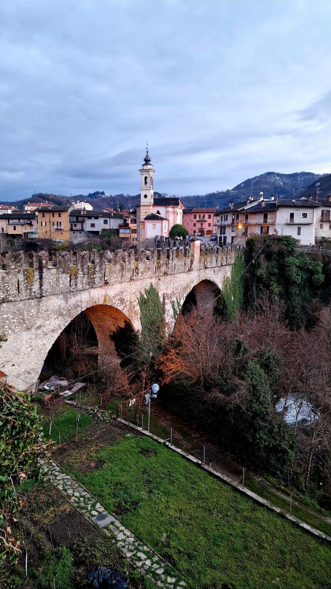
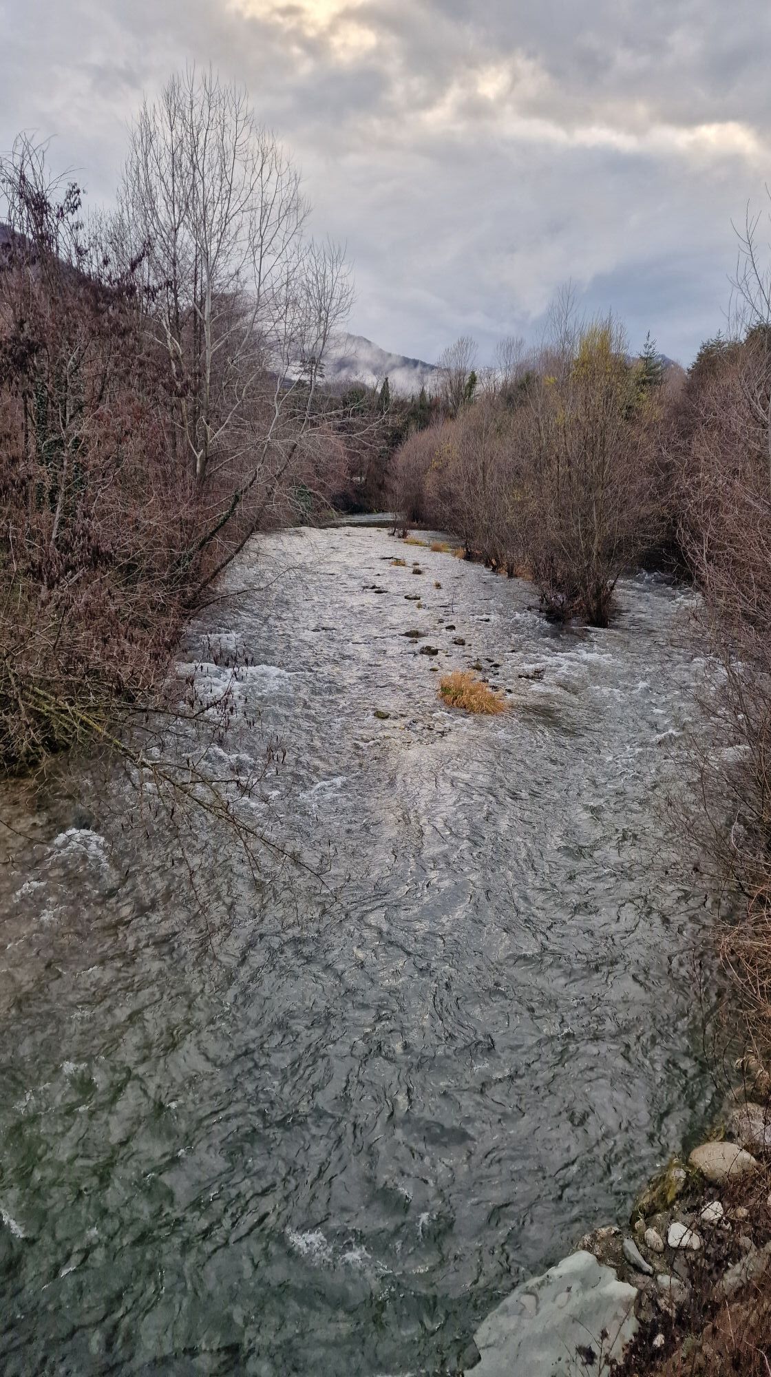
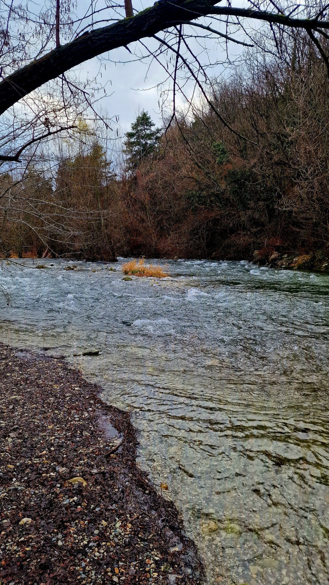
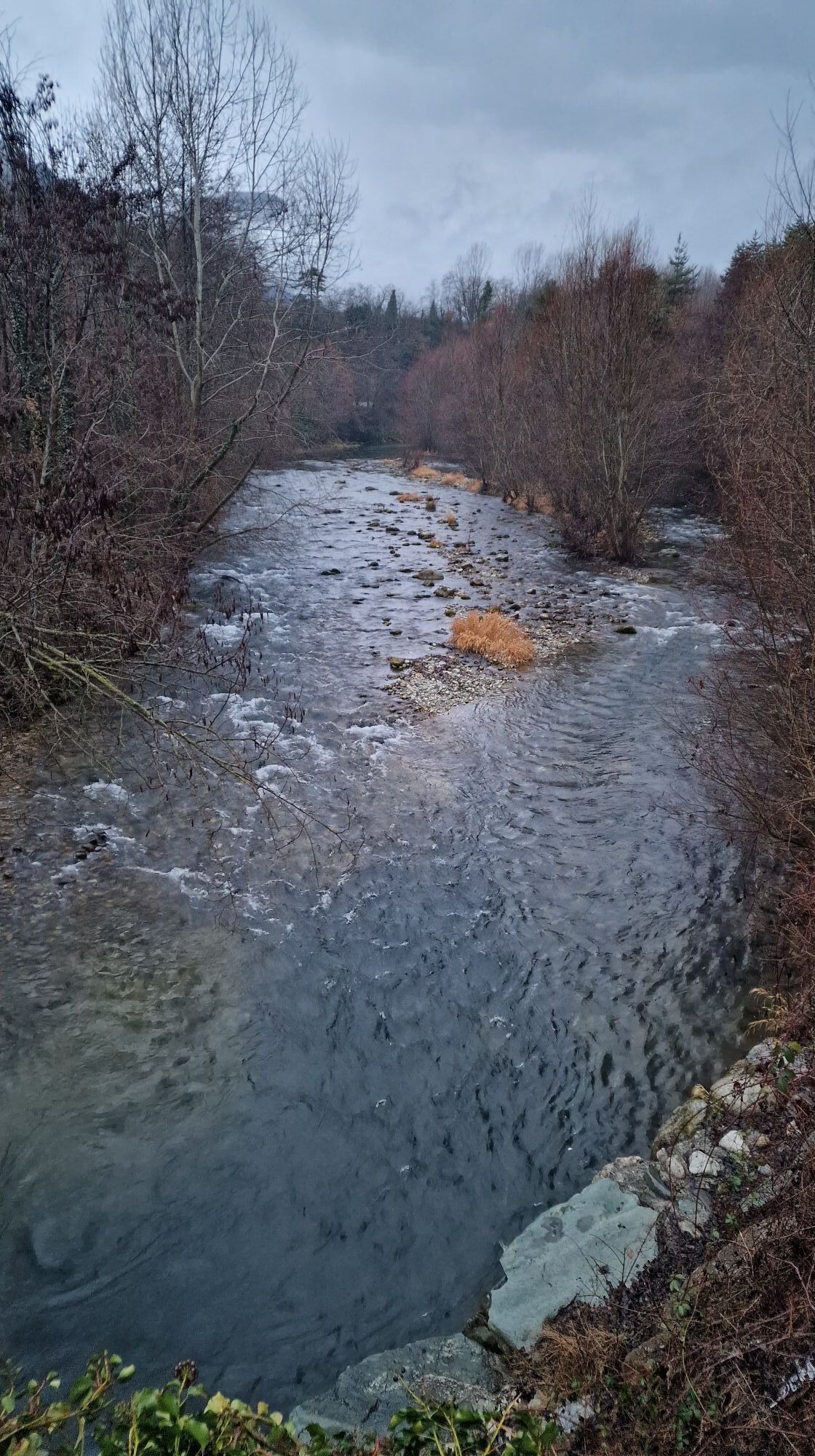
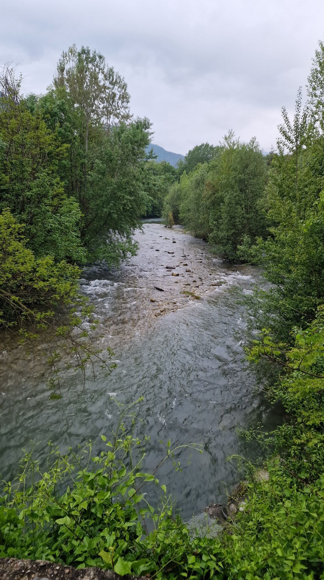
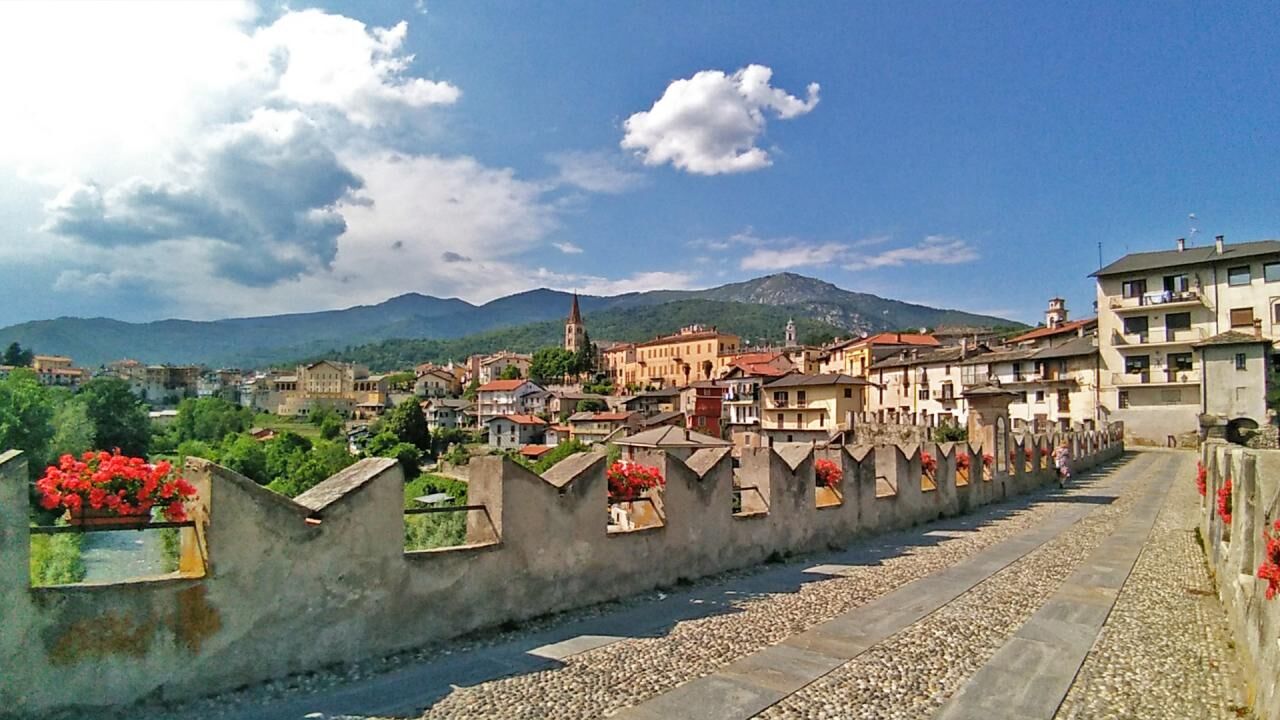
The last stage involves a path with no difference in height. From Cartignano we take the path downhill along cultivated fields and agricultural properties. In short, you reach Ponte Bedale (Bridge) and you take the agricultural path on the left, Tetti hamlet (Dronero). Once you have passed the village, the signs allow you to continue on the right, on asphalt, in the direction of the cycle-pedestrian track that you take nearby Ponte Olivengo (Bridge). Along the Maira stream and in the shade of towering chestnut trees you can reach the wide fields of the Archero region, close to the town of Dronero. A couple of kilometers still allow you to reach the charming Piazzetta Cariolo (Square), the heart of the medieval town of Dronero. You can not miss a photo shoot on the crenellated bridge, known as "Ponte del Diavolo" (Devil’s Bridge) (1428 AD), with its unequaled arches and framed by the peaks of the upper Maira valley.

Vodafone 100%
Dronero e Cartignano sono raggiungibili con mezzi propri o con autobus di linea in partenza da Cuneo capoluogo www.benese.it/orari-bus - www.buscompany.it/ati/orari. Esiste anche un servizio taxi 24/24 con trasporto bagagli attivo tutto l&039;anno (Sherpabus) 348 8231477 -
www.benese.it/orari-bus - www.buscompany.it/ati/orari
In addition to the beautiful old town, the Ponte Vecchio, known as "del Diavolo" in Dronero, is worth seeing: a characteristic crenellated bridge with large unequal arches, it was built in 1428 over the Maira stream to facilitate access to the town and the valley for those coming from the plain of Cuneo.
Obľúbené výlety v okolí
-
4,0
Historic Mountain Routes | Cannon Road
ťažkéMountainbike 43,2 km -
5,0
Percorsi Occitani: Tappa 4 Frazione Camoglieres - San Martino Inferiore
strednáTuristika 16,8 km -
Along the roads of champions
ťažkéCestný bicykel 173,6 km -
Occitan Routes: Stage 1 Ciciu di Villar - Frazione Sant'Anna di Roccabruna
strednáTuristika 15,9 km -
5,0
Strada dei Cannoni
strednáTuristika 56,1 km -
Occitan Routes: Stage 3 Pagliero hamlet of San Damiano Macra - Camoglieres hamlet
strednáTuristika 10,6 km -
Occitan Routes: Stage 2 Frazione Sant'Anna di Roccabruna - Frazione Pagliero di San Damiano Macra
strednáTuristika 8,49 km -
Valle Varaita Trekking
strednáTuristika 170,2 km -
Occitan Routes: Stage 13 Borgata Palent - Borgata Chiesa
strednáTuristika 9,22 km -
GTA: Stage 57 Borgata Chiesa di Celle di Macra - Santuario San Magno
strednáTuristika 14,6 km
Turistika a stopovanie


Nenechajte si ujsť ponuky a inšpiráciu na ďalšiu dovolenku
Vaša e-mailová adresa bol pridaný do poštového zoznamu.