






Historic Mountain Routes | Cadorna Line Stage 2 | Prà Michelaccio - Cima Montorfano
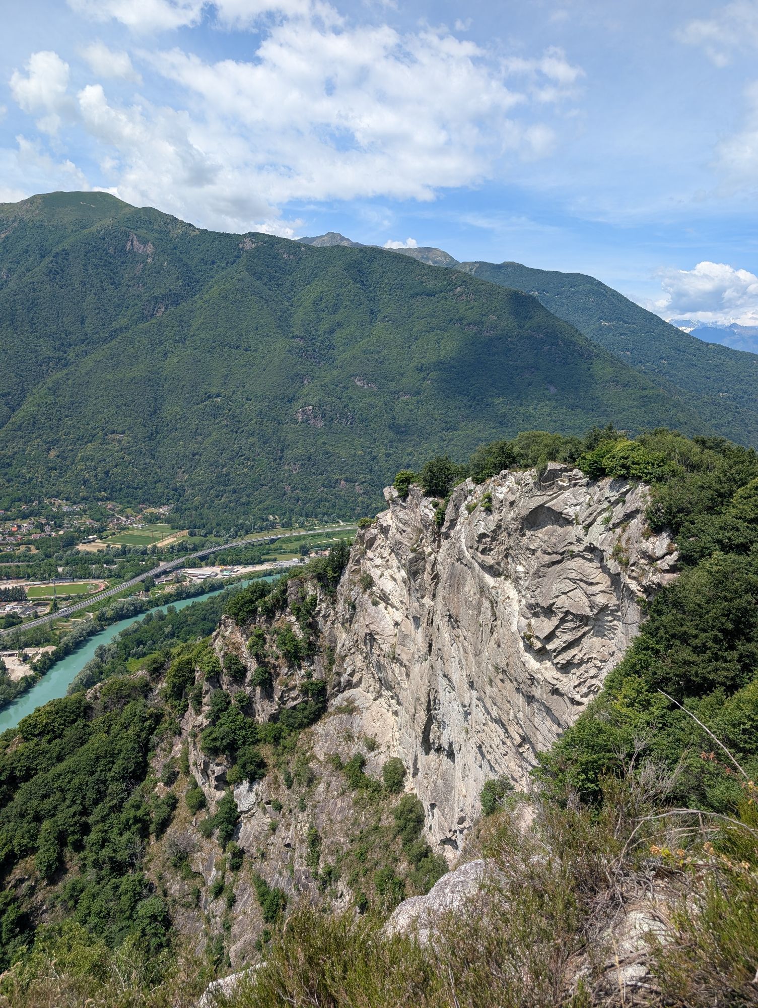
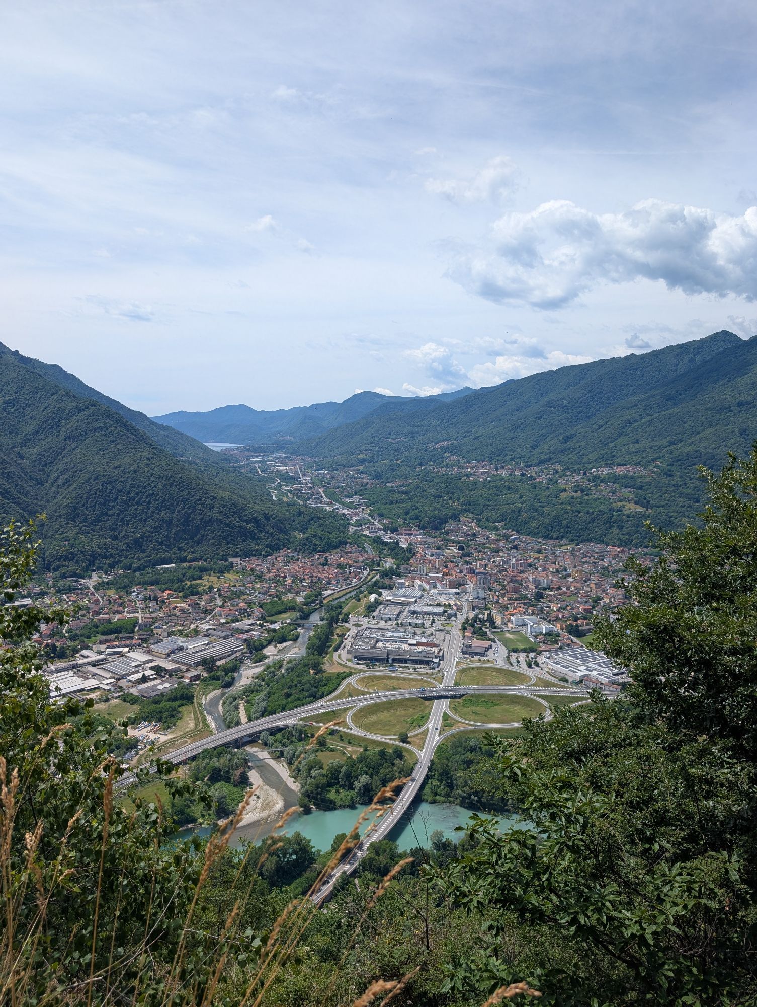
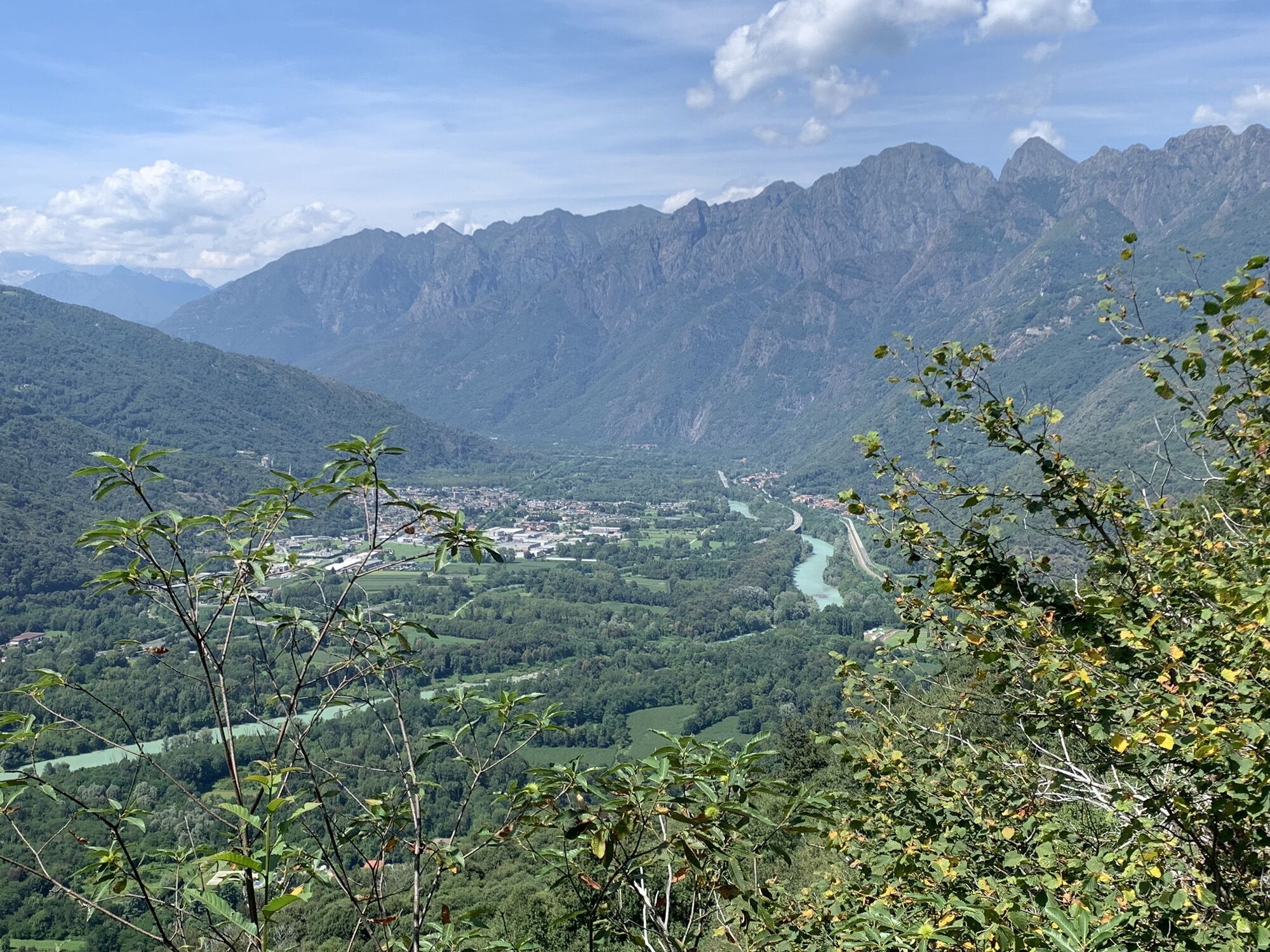
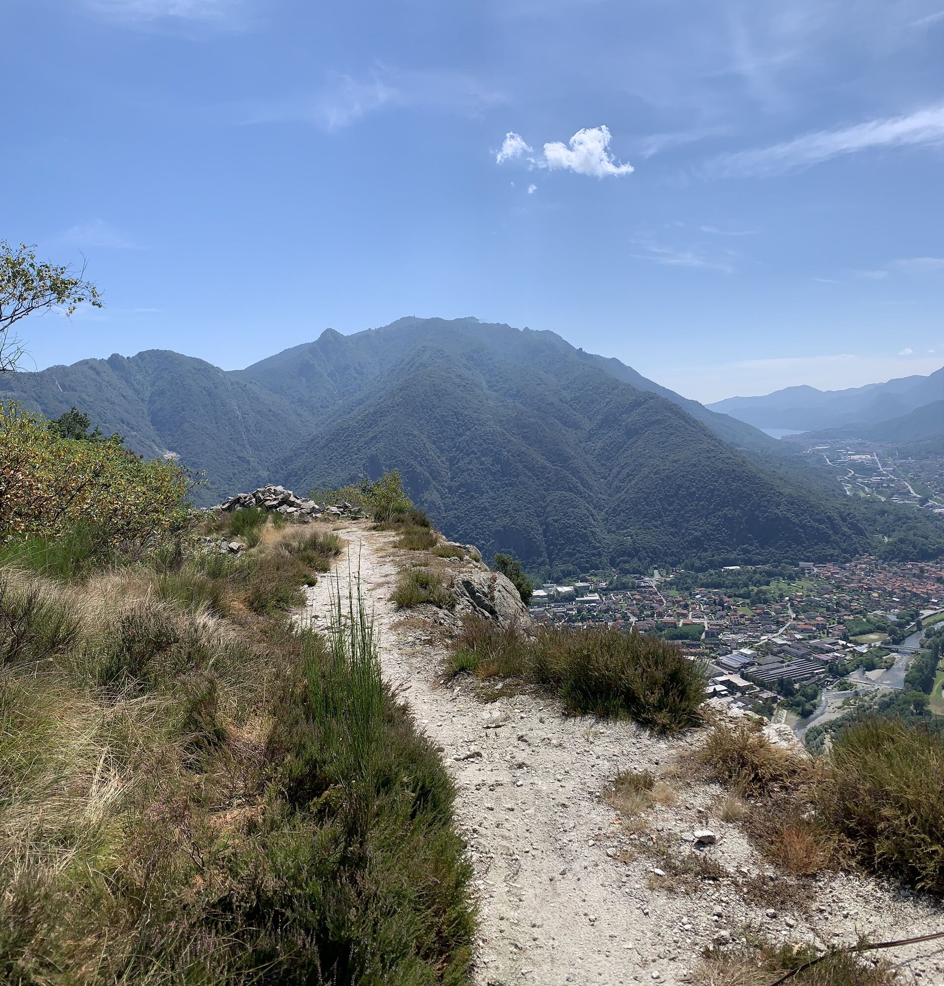
Italian (default)Mont'Orfano or Montorfano, thanks to its isolated position, was considered an important strategic place from which to dominate the surrounding area at 360°, from Lake Maggiore to Lake...
The route in this section of the Cadorna Line begins in Mergozzo, in the Pra' Michelaccio hamlet (204 m asl), following the signs for the military fortifications. The military road, paved only in the first short stretch, becomes a beautiful dirt road that climbs for 4 km with a constant slope and with beautiful stone bends that lead to the first barracks. Continuing with a succession of military artifacts of remarkable beauty (retaining walls and hydraulic channels), the road reaches the second barracks and the powder magazine. The panoramic view from up here is truly suggestive and you can continue up to the Cima del Montorfano (794 m asl – about 2 km). The dirt road gives way to a mule track which then becomes a grassy path and in about 45 minutes it reaches other military works (shelters and barracks), whose construction saw the use of local natural resources including granite extracted from the nearby Cava Verde, at the foot of the mountain.



Áno
Suitable for the whole family is the Sentiero Azzurro, a beautiful paved path from which you have a panoramic view of Lake Mergozzo and Lake Maggiore.
Obľúbené výlety v okolí
-
4,0
Cicogna, Strada Sutermeister, Alpe Pogallo, Alpe Pra, Cicogna
strednáTuristika 9,83 km -
Tour of Lake Orta
svetloMountainbike 35,4 km -
4,2
Um den Lago di Mergozzo
Turistika 7,93 km -
Monte Faiè
strednáTuristika 6,37 km -
4,3
Pian Cavallone
svetloTuristika 7,55 km -
4,7
Coiromonte - Monte del Falò
strednáTuristika 6,16 km -
5,0
Baveno - Monte Camoscio - Monte Crocino - Stresa
ťažkéTuristika 10,7 km -
2,0
Alpe Quaggione - Monte Massone - Alpe Quaggione
strednáTuristika 15,8 km -
5,0
Wanderung mit dem Kindern 👍
Horská turistika 5,61 km -
5,0
Val Pale - Pizzo Pernice, Piemonte/Italia
strednáTuristika 6,14 km
Turistika a stopovanie


Nenechajte si ujsť ponuky a inšpiráciu na ďalšiu dovolenku
Vaša e-mailová adresa bol pridaný do poštového zoznamu.





