


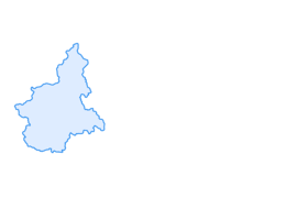

GTA Variant of Alti Valli Anzasca and Antrona: Stage 16B Rifugio Andolla - Cingino Bivouac

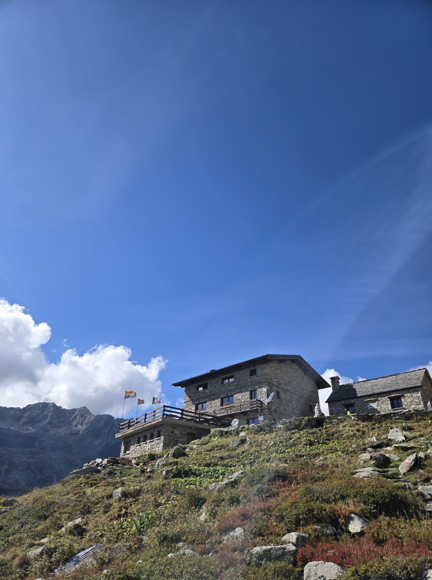


You depart from Rifugio Andolla taking the C27 route, which is slightly downhill at the beginning, but soon climbs up along a strenuous scree; after passing Lake Ciapivul (2417 m) you reach Passo delle...
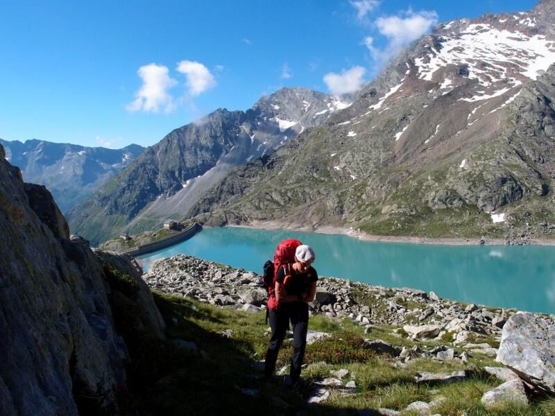
You depart from Rifugio Andolla taking the C27 route, which is slightly downhill at the beginning, but soon climbs up along a strenuous scree; after passing Lake Ciapivul (2417 m) you reach Passo delle Coronette (2682 m). From the pass you start to descend into Val Troncone and initially face a short, equipped section. After passing the fixed chains you continue to descend through meadows to Lago di Camposecco below (2322 m), where there is a bivouac. Cross the dam wall and then descend along the Enel service rails and continue along flat ground until the entrance to the tunnel of the pipeline to Lago del Cingino (2 km, a torch is essential), which comes out near the lake and the dam (2229 m), with a view of the Antigine group. Here you ca use the homonymous bivouac.


Obľúbené výlety v okolí
-
4,9
Allalinhorn vom Mittelallalin über Normalweg
strednáVysoké turné 6,15 km -
3,6
Höhenweg Kreuzboden - Almagelleralp - Saas-Almagell
Turistika 9,74 km -
3,5
Waldweg Saas-Fee - Saas-Almagell
Turistika 2,83 km -
4,7
Weissmies Südgrat von Saas Almagell
strednáVysoké turné 20,5 km -
5,0
Via ferrata Jägihorn
ťažkéVia ferrata 6,14 km -
4,8
Marmot mountain path Spielboden
strednáTuristika 3,89 km -
4,5
Ibex path
strednáTuristika 9,02 km -
5,0
Mountain trail Kreuzboden - Hohsaas
strednáTuristika 4,65 km -
3,7
Mattmark - Monte Moro - Macugnaga
Turistika 10,6 km -
Around the Mattmark Reservoir in the Saastal
svetloTuristika 8 km
Turistika a stopovanie


Nenechajte si ujsť ponuky a inšpiráciu na ďalšiu dovolenku
Vaša e-mailová adresa bol pridaný do poštového zoznamu.


