






GTA: Stage 68 Limonetto - Rifugio Garelli
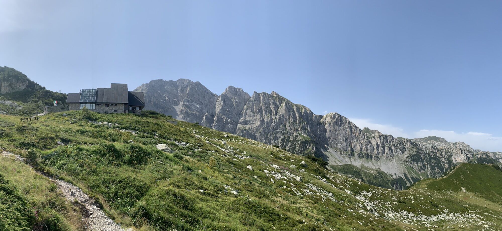
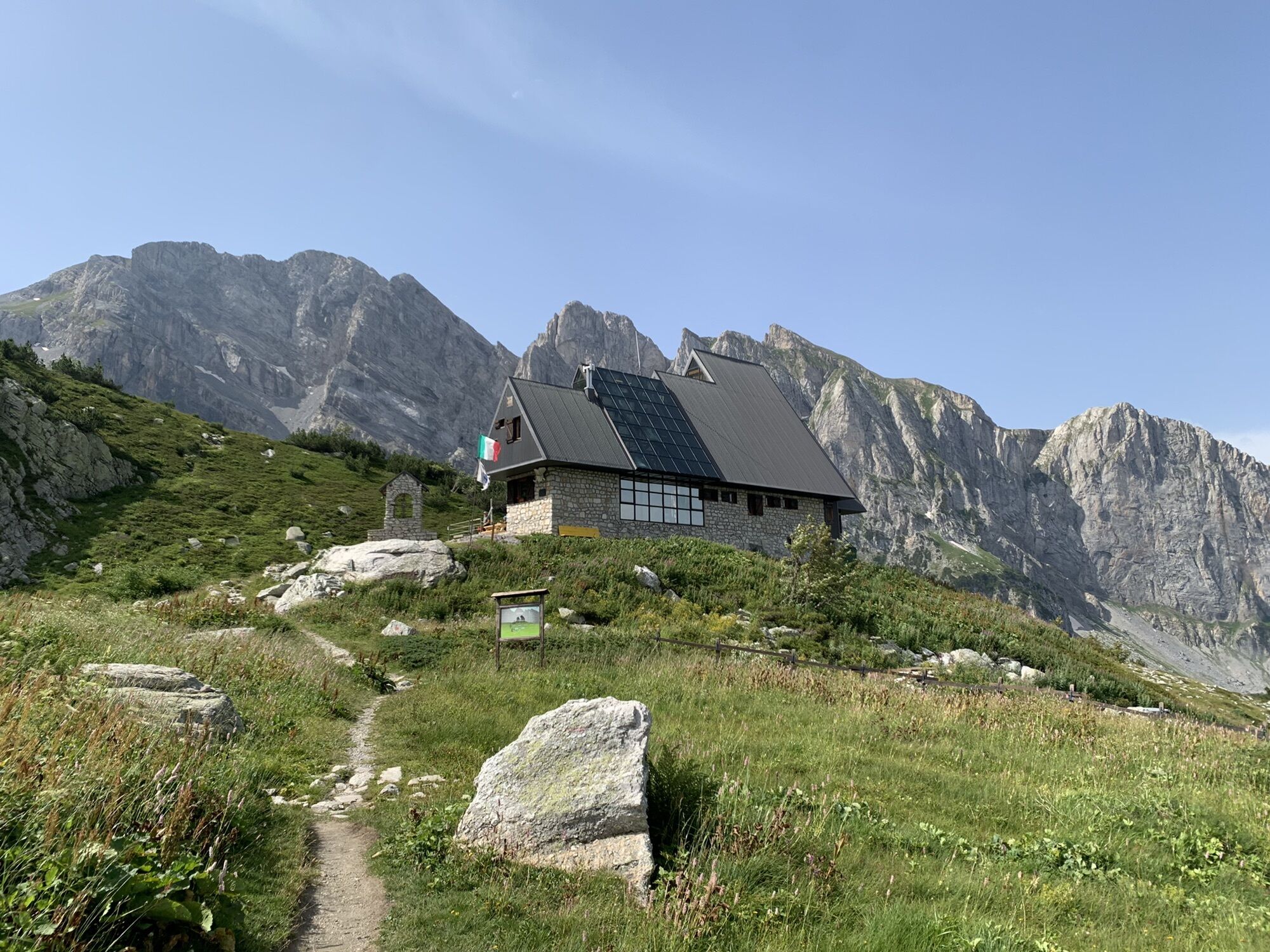
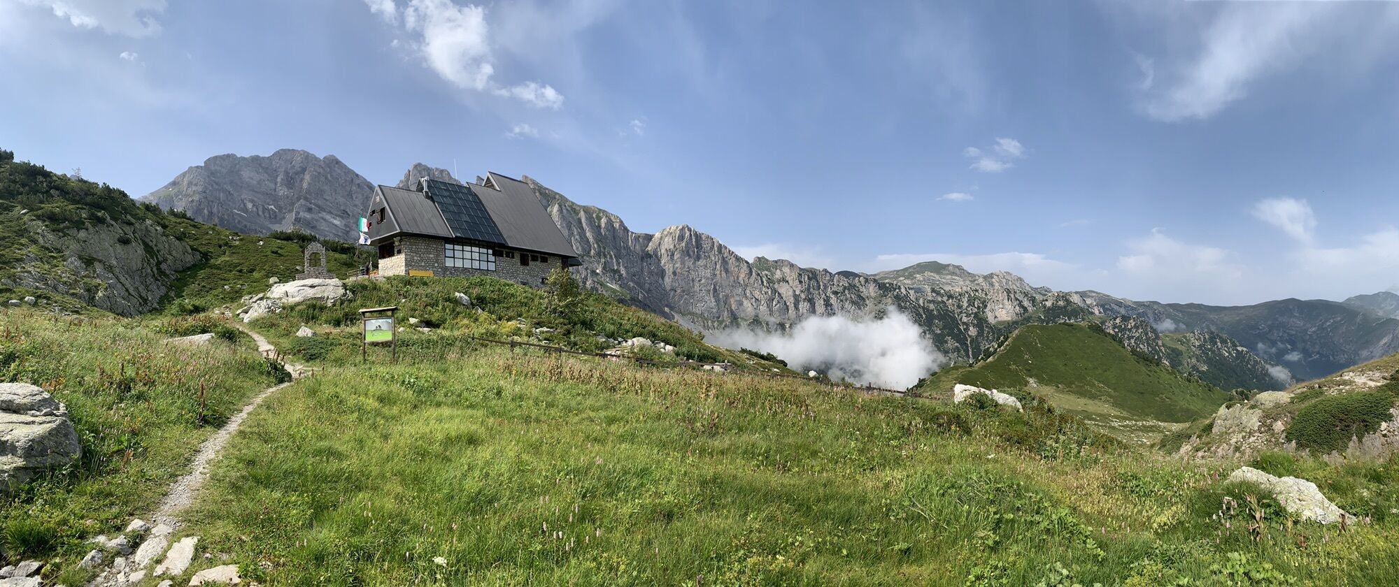
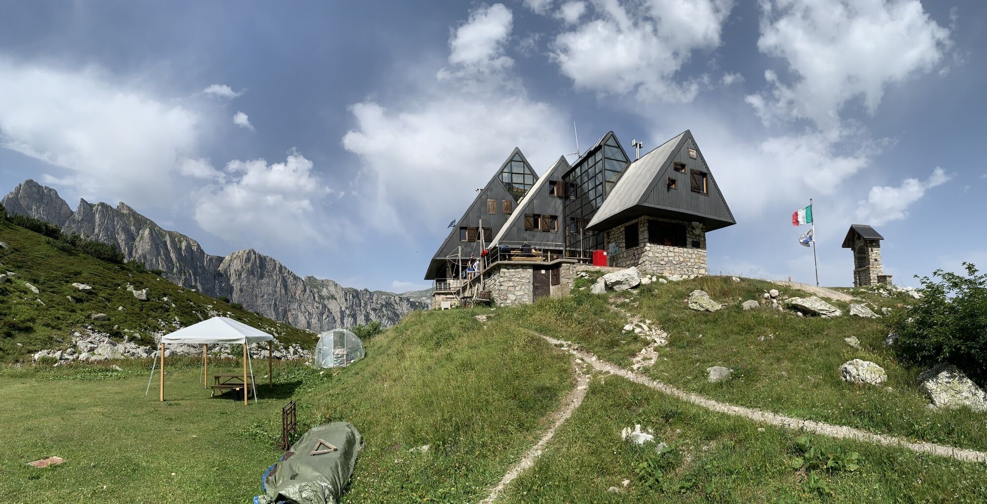
Immediately downstream of Limonetto you take a cartroad that, heading south, passes behind large apartment blocks, then turns into a mule track that climbs gently crossing a ski lift. You briefly follow...
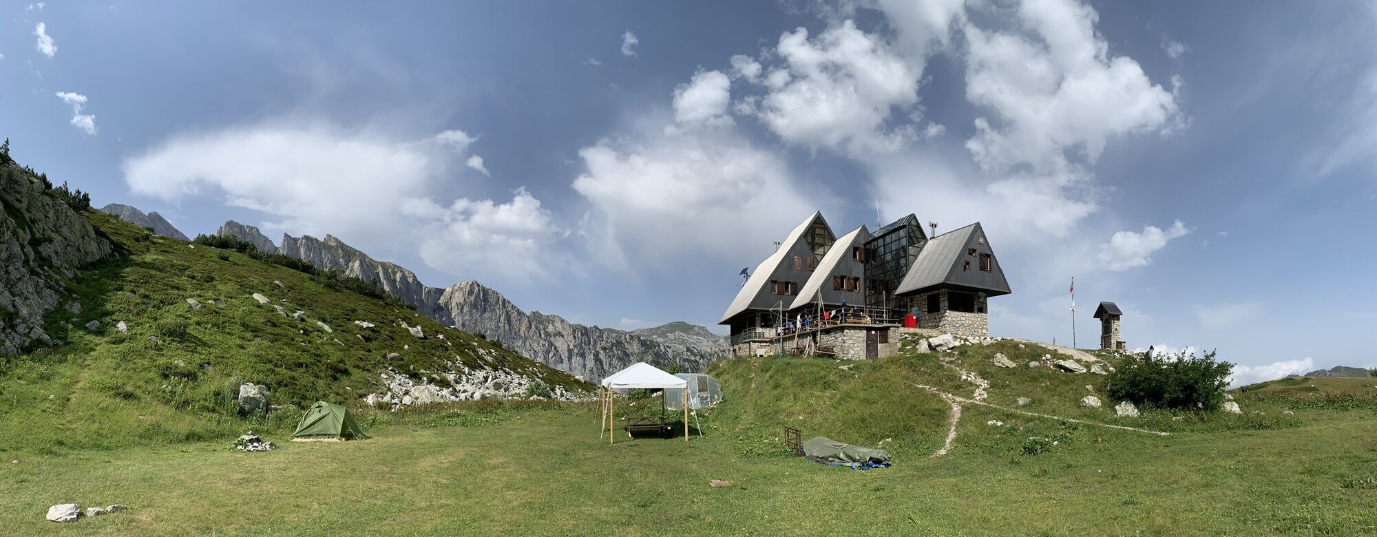
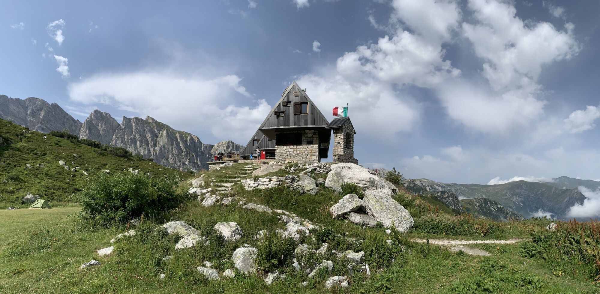
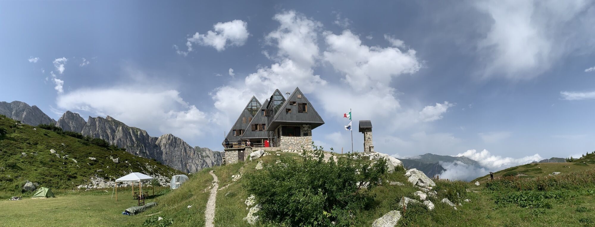
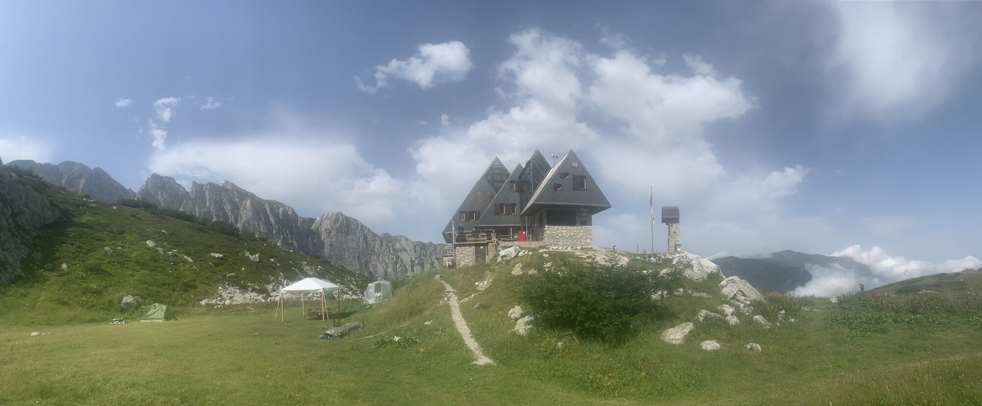
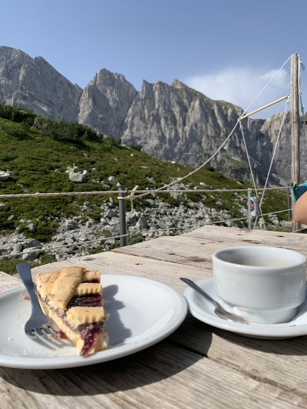
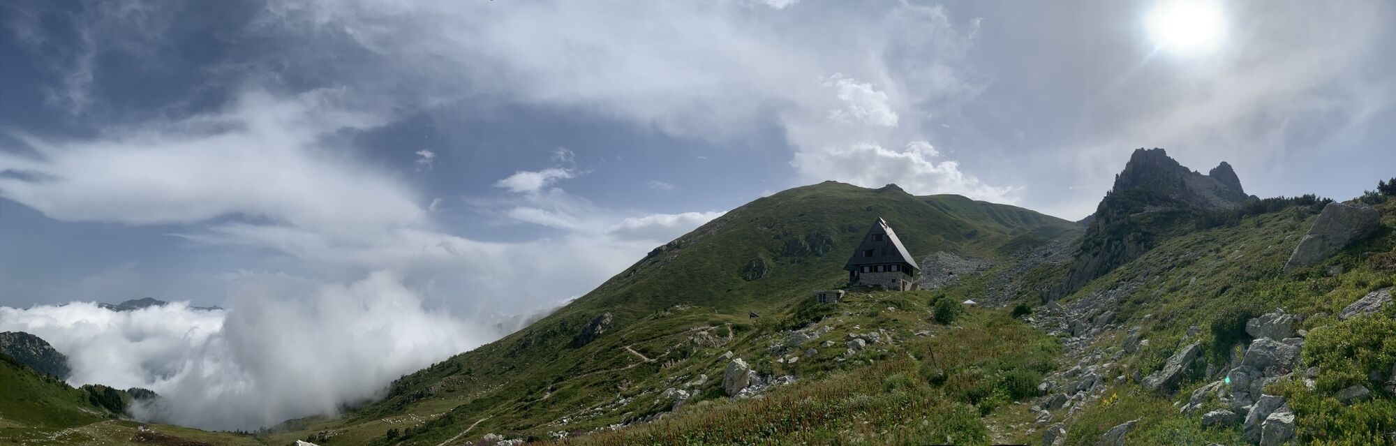
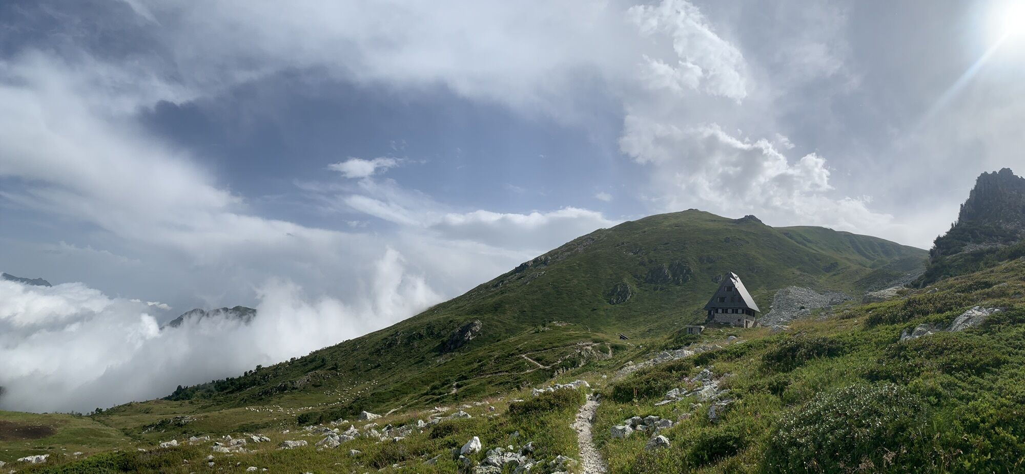
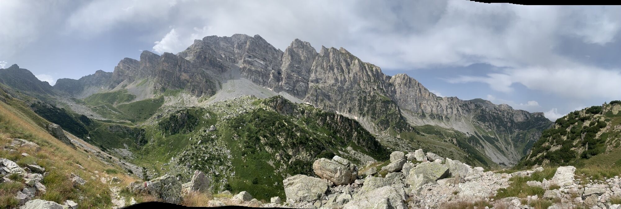
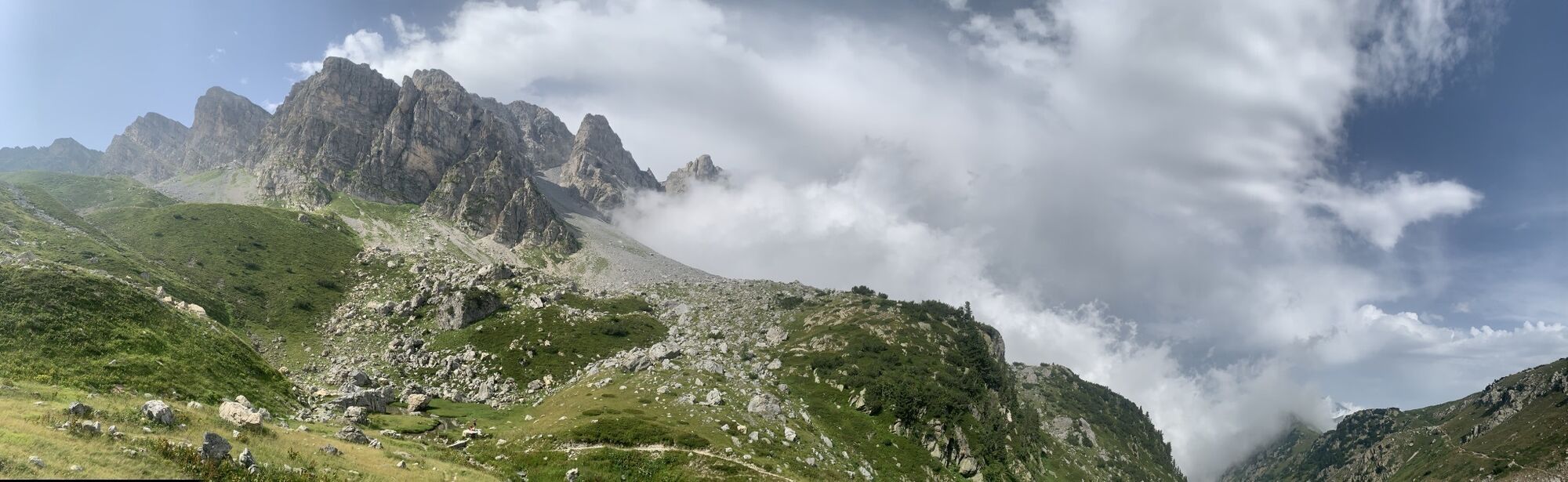
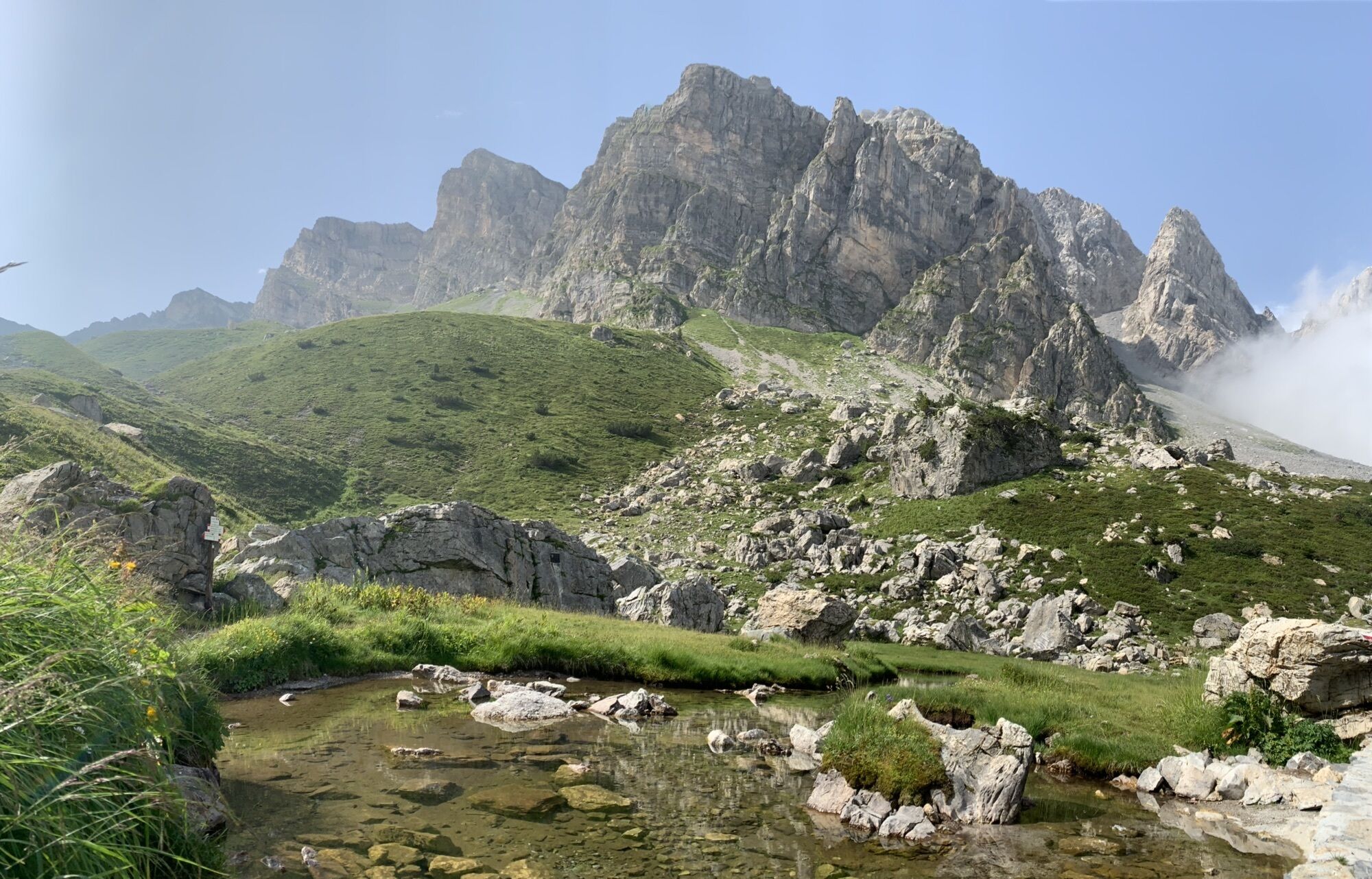
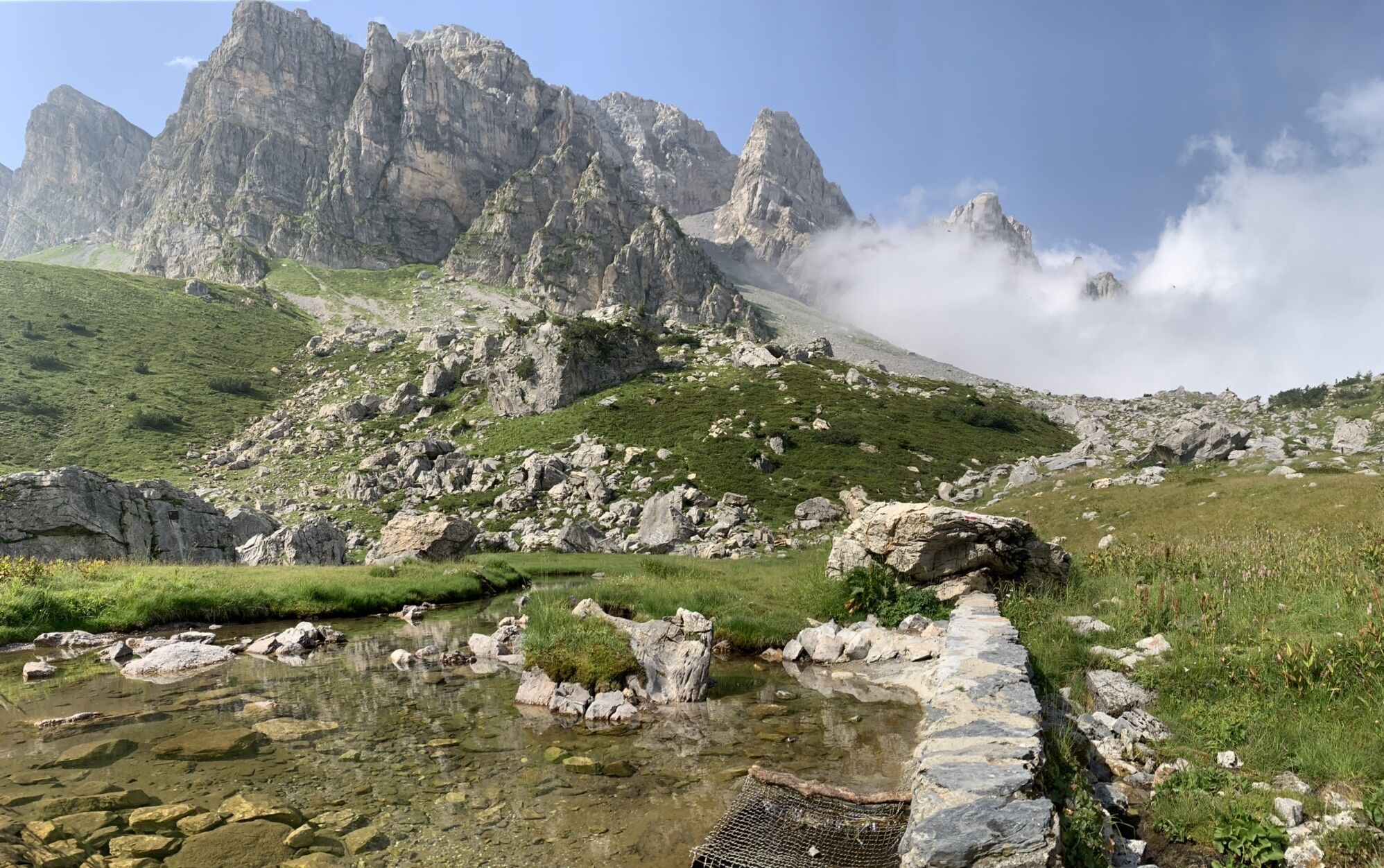
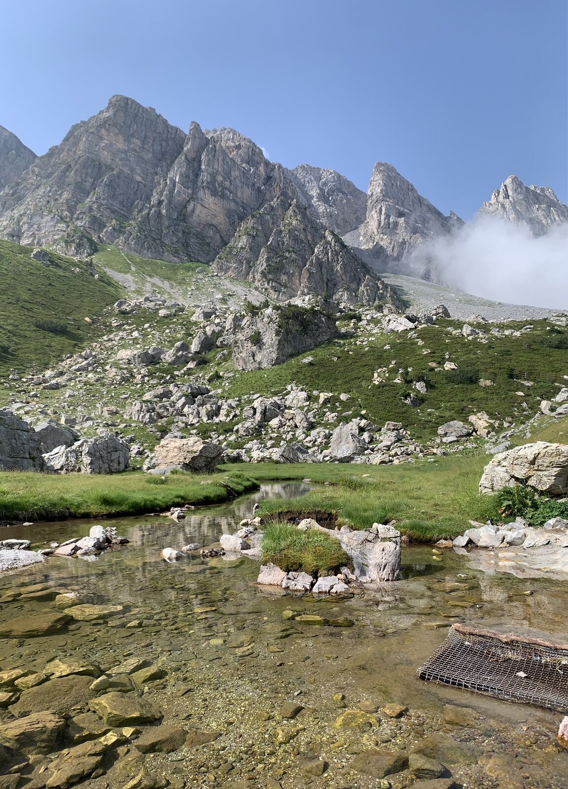
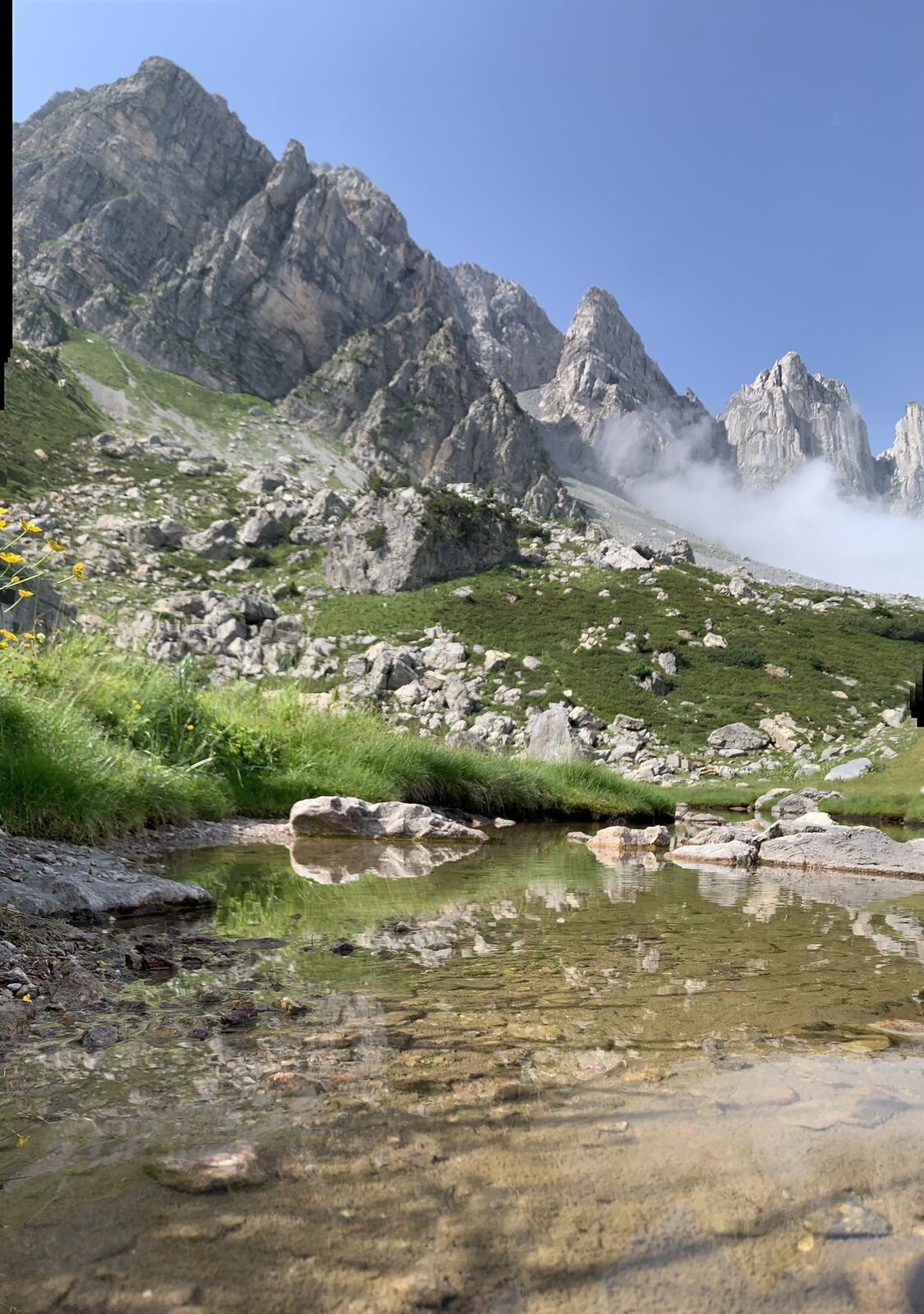
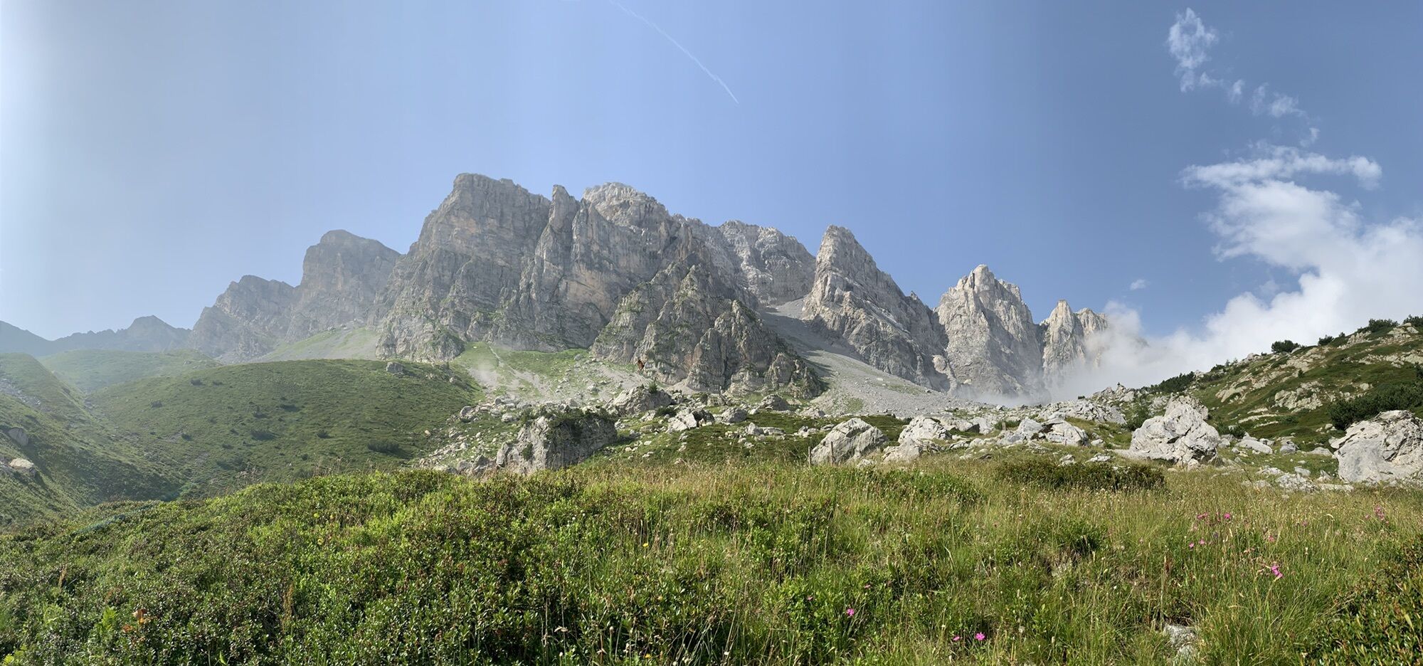
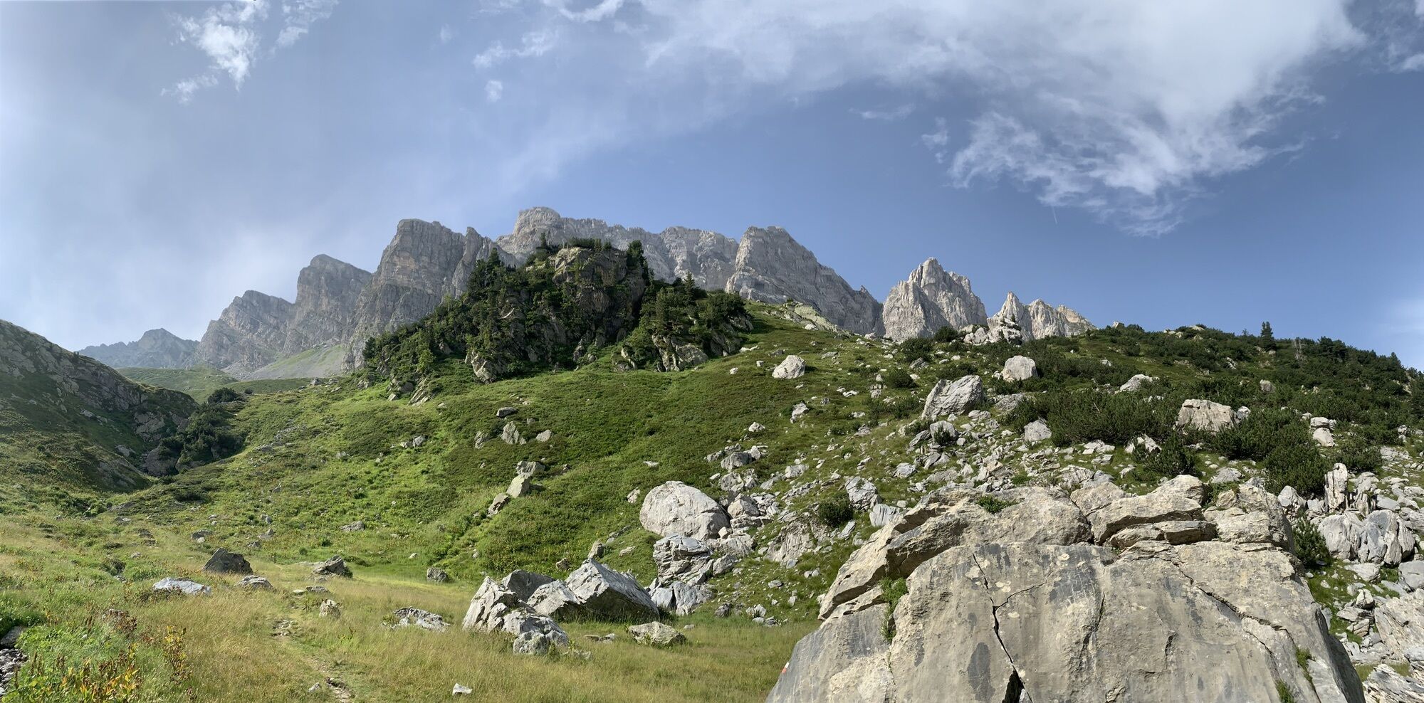
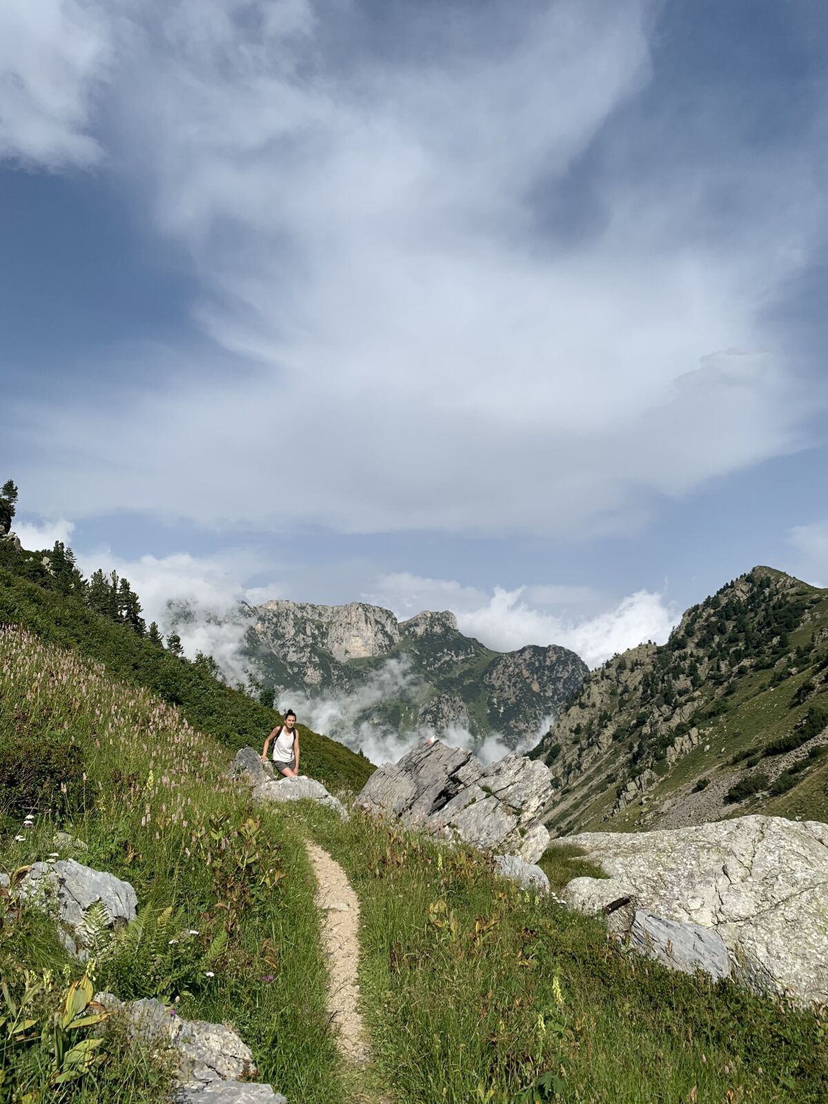
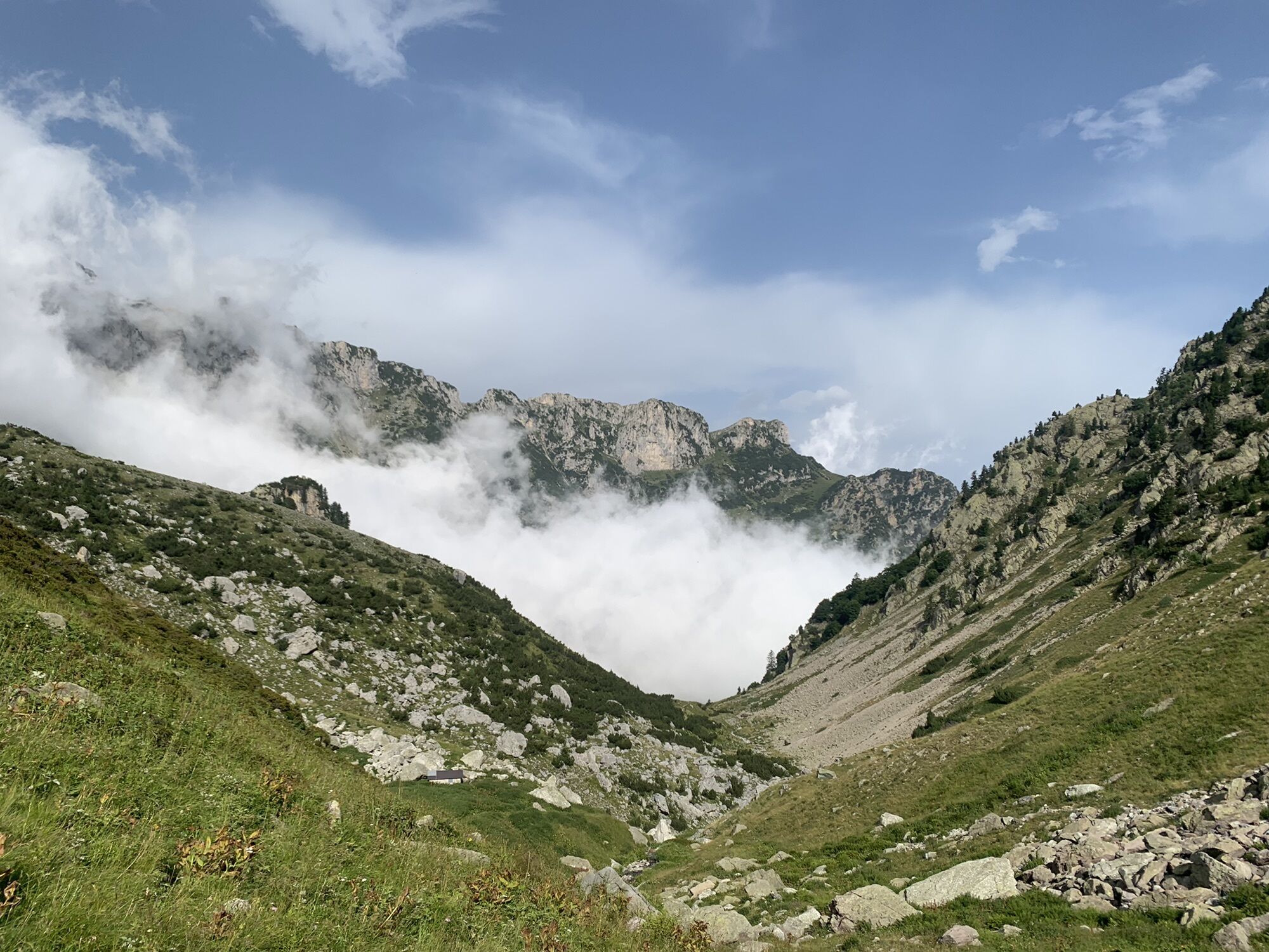
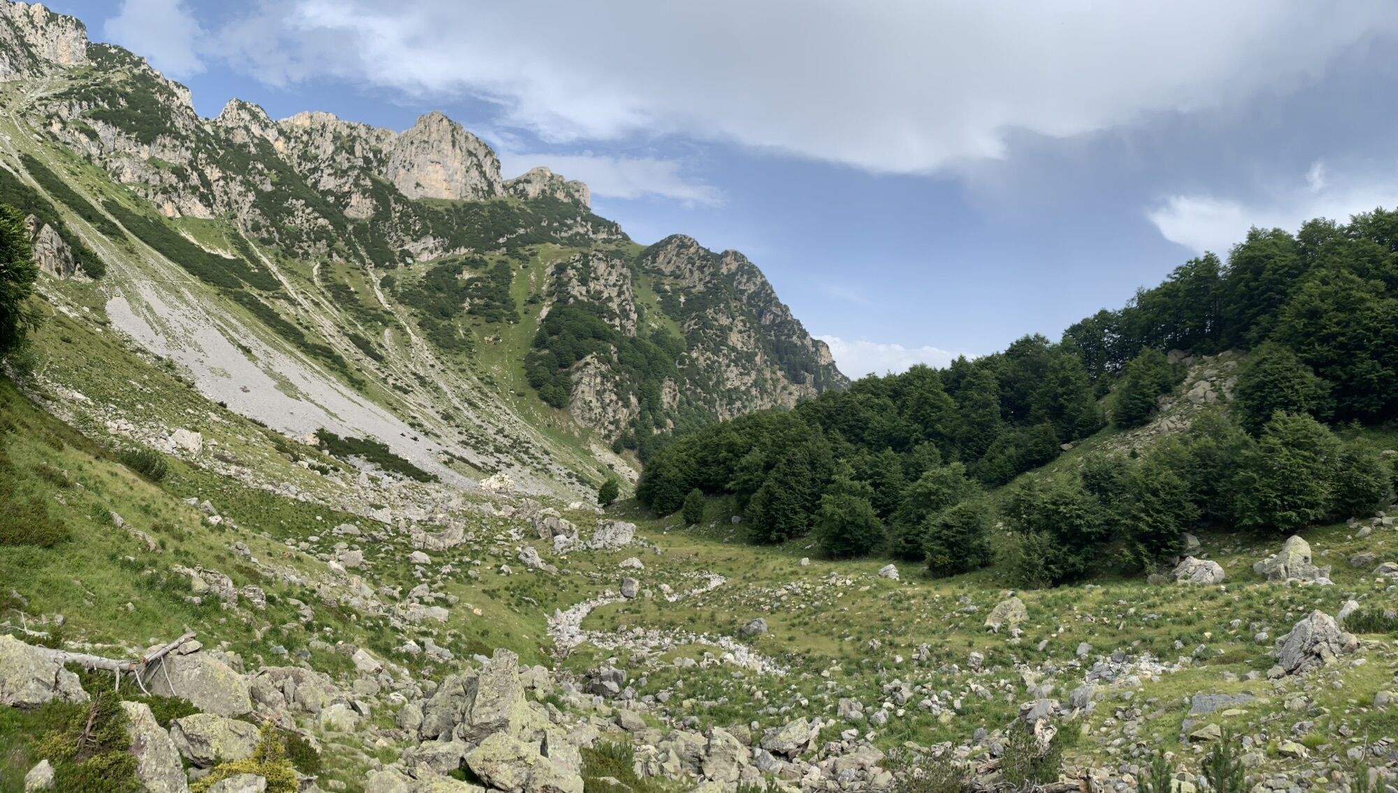
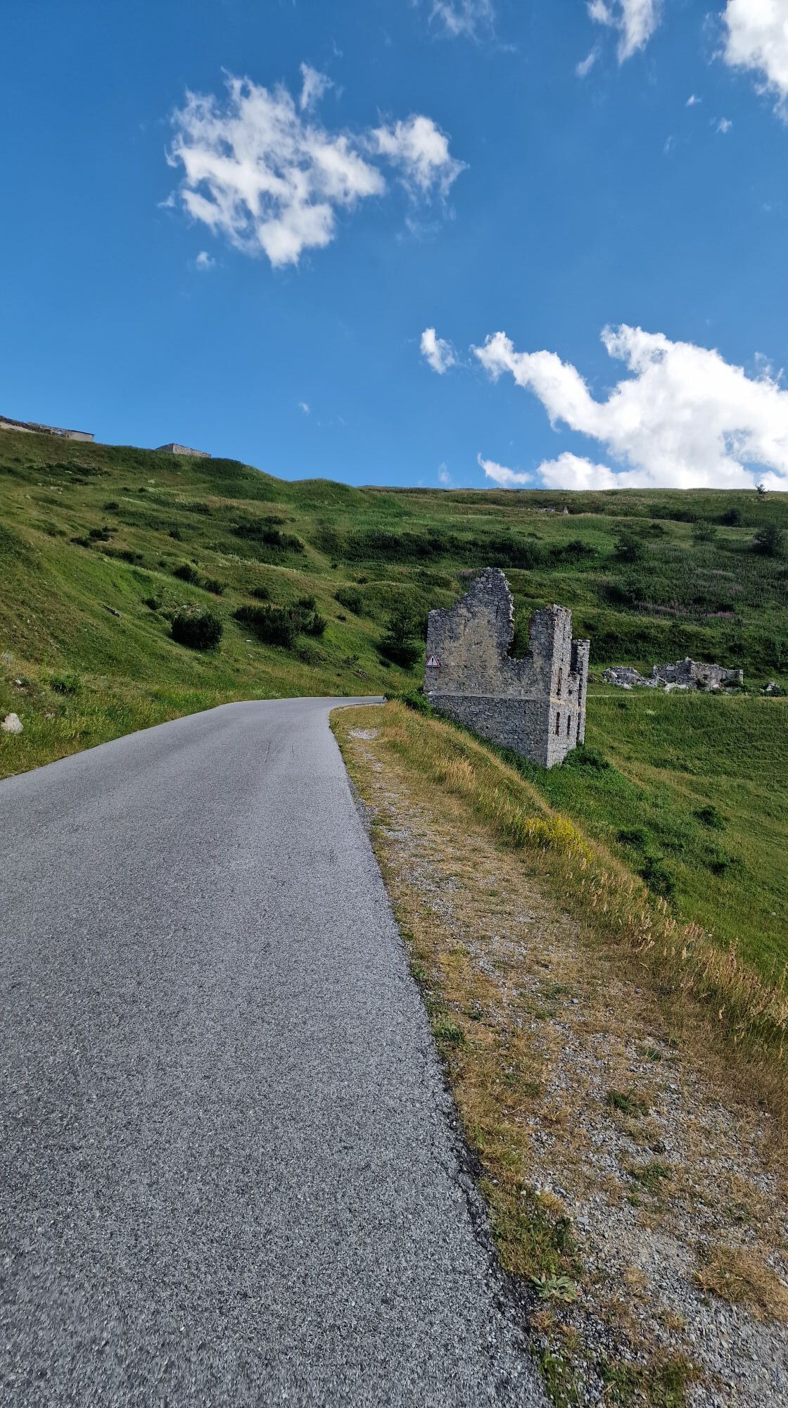
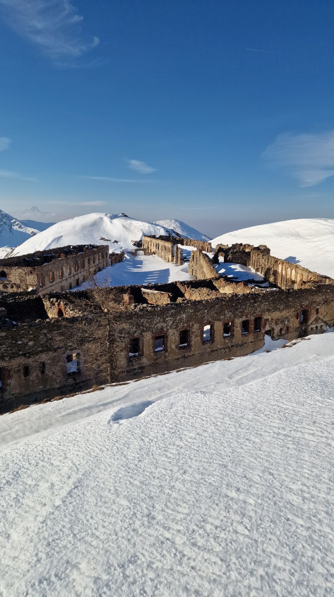
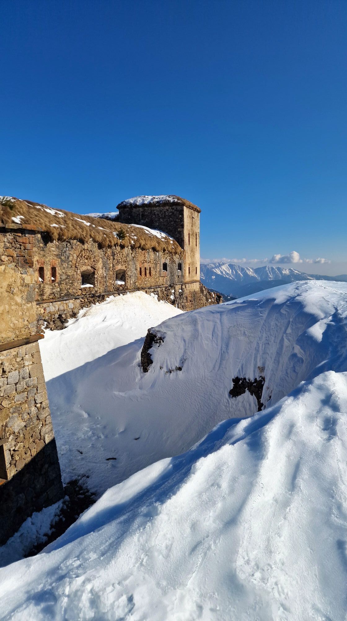
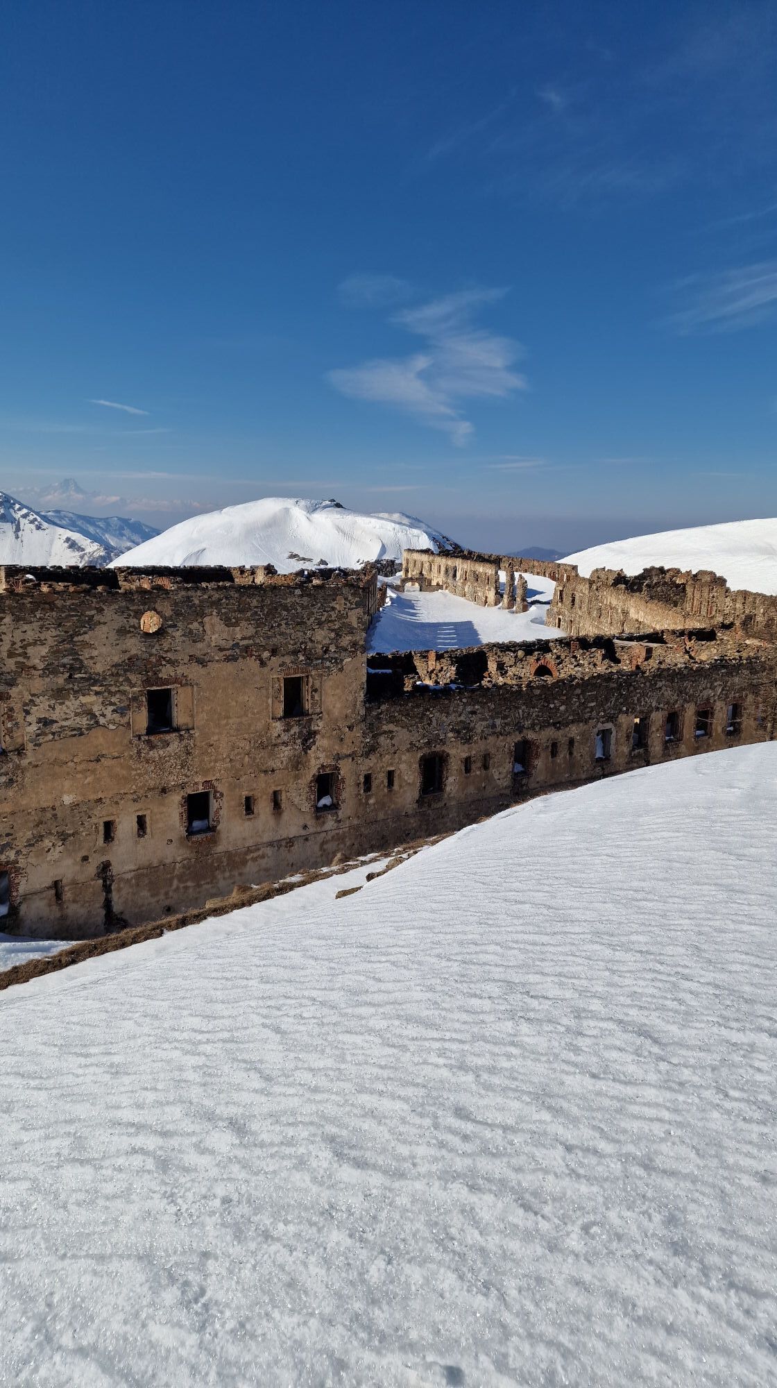
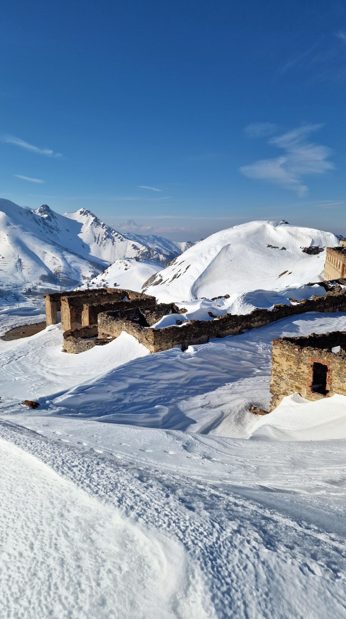
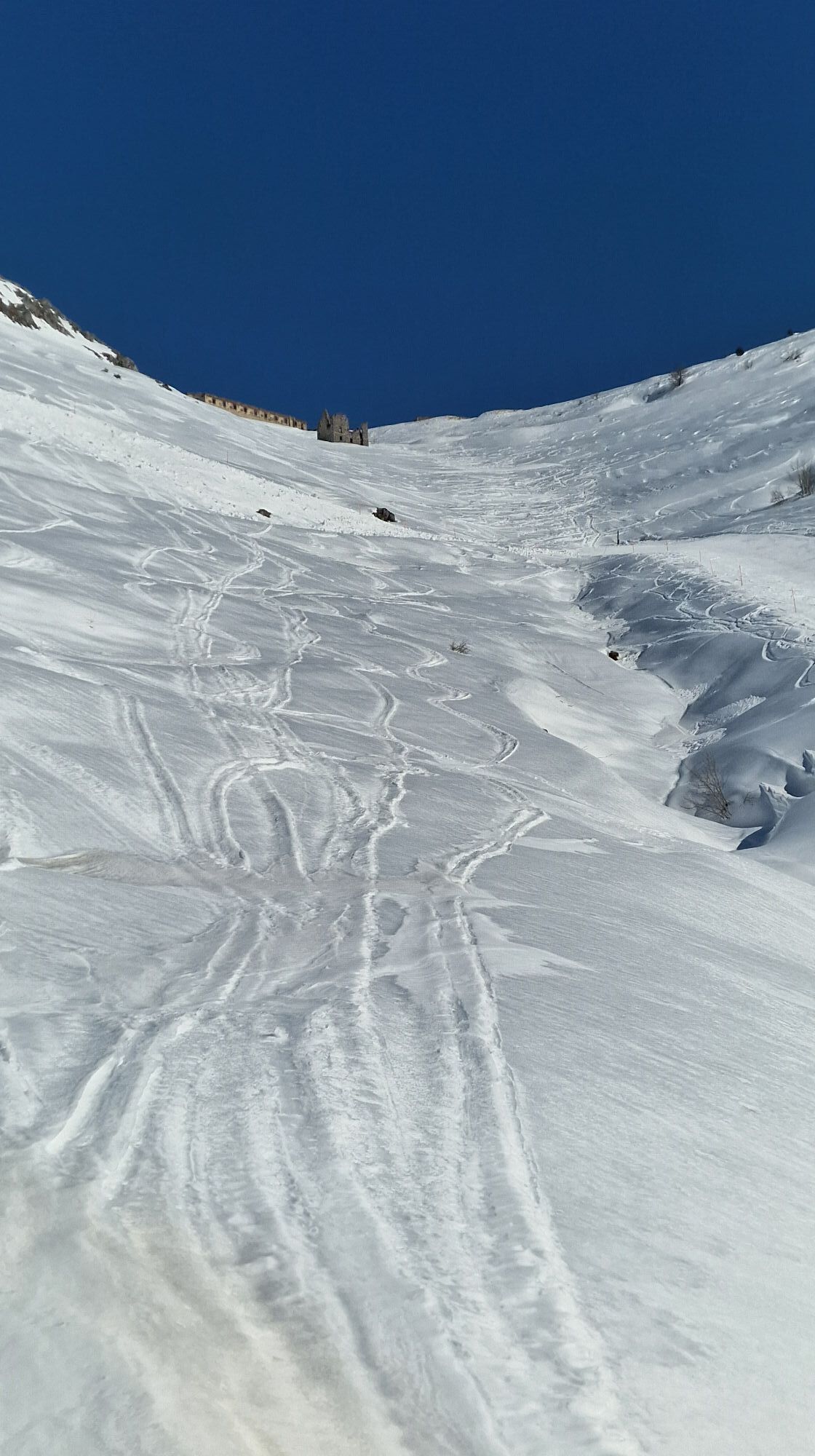
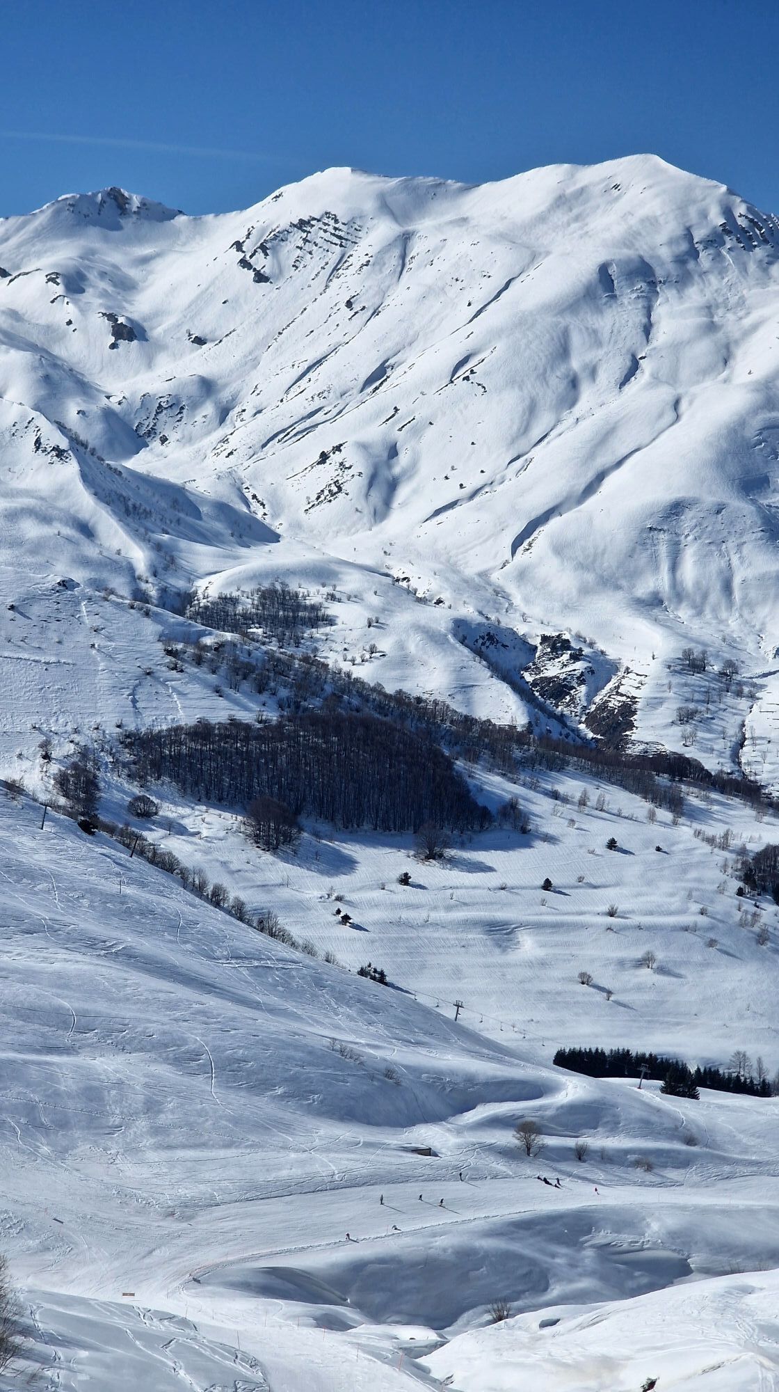
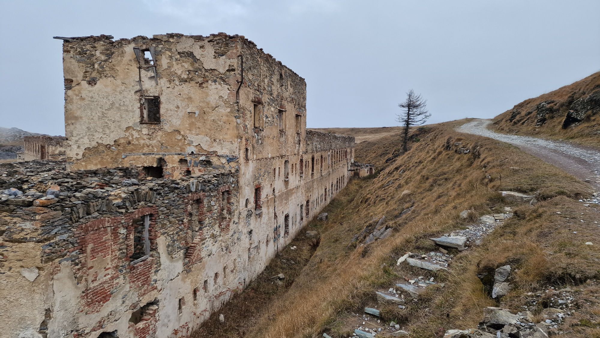
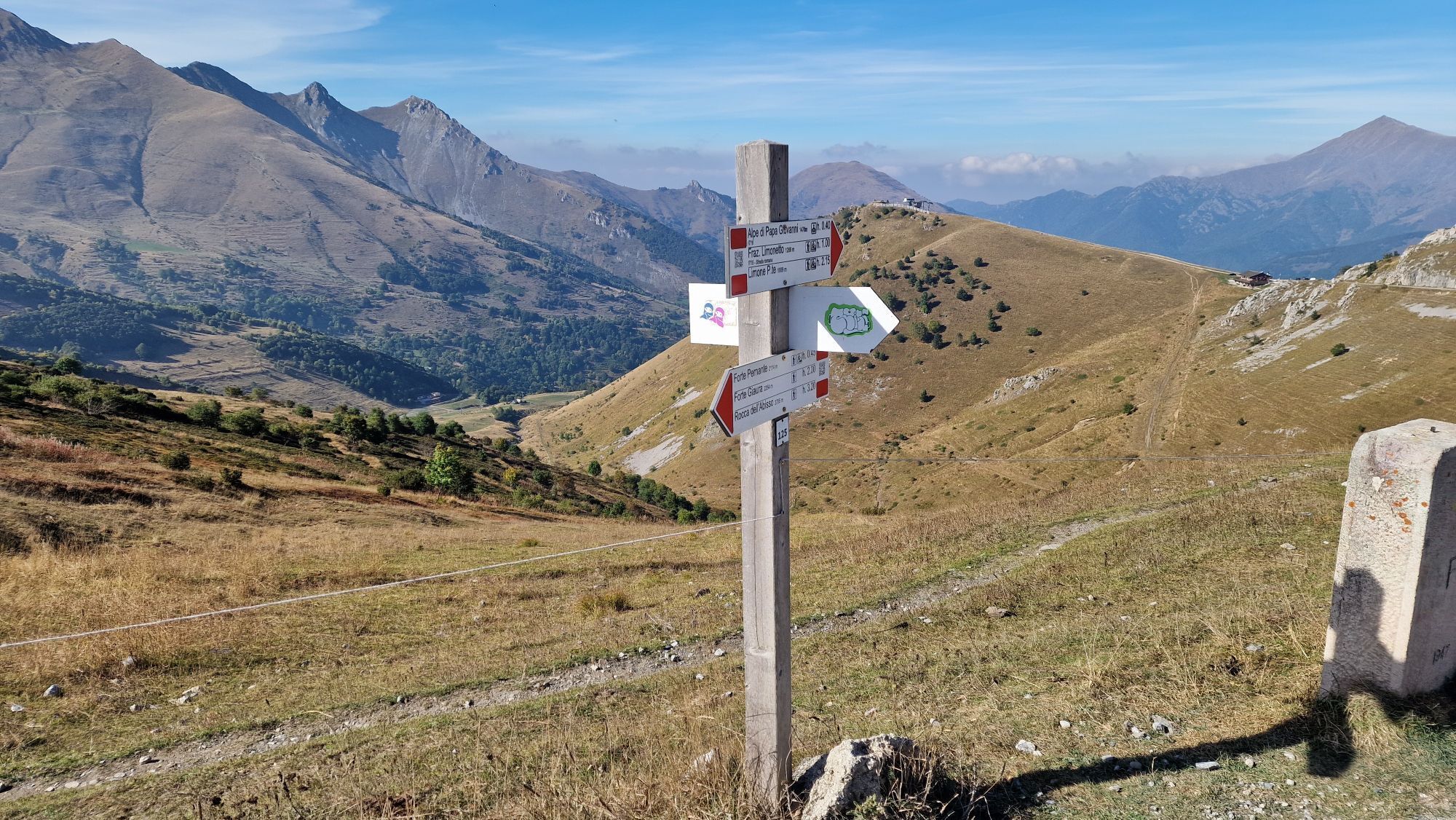
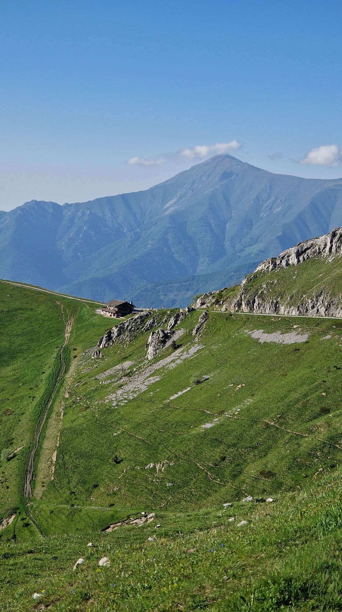
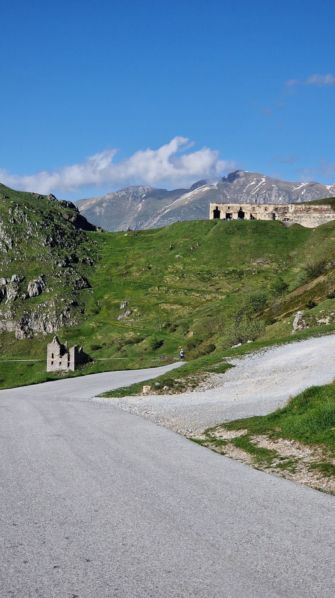
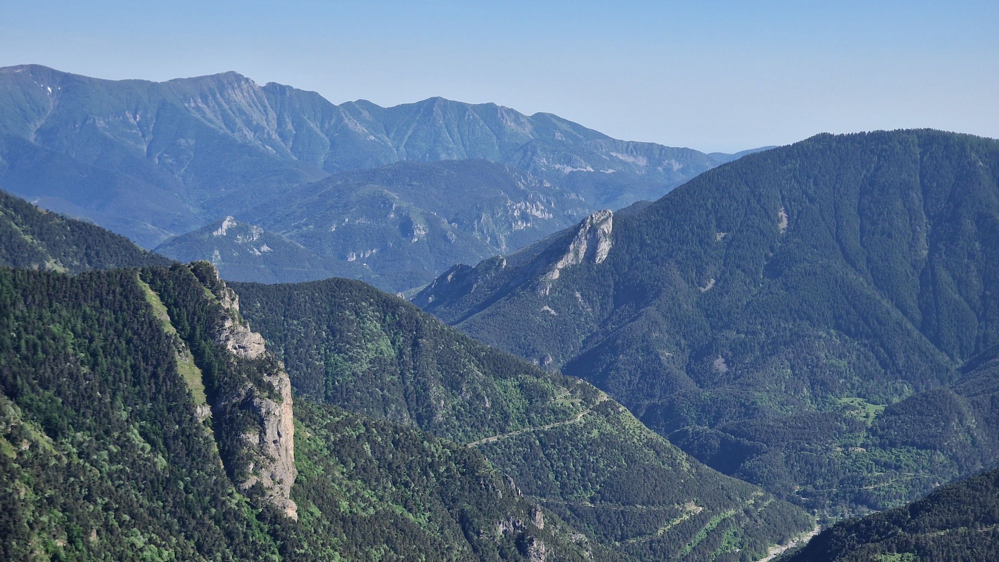
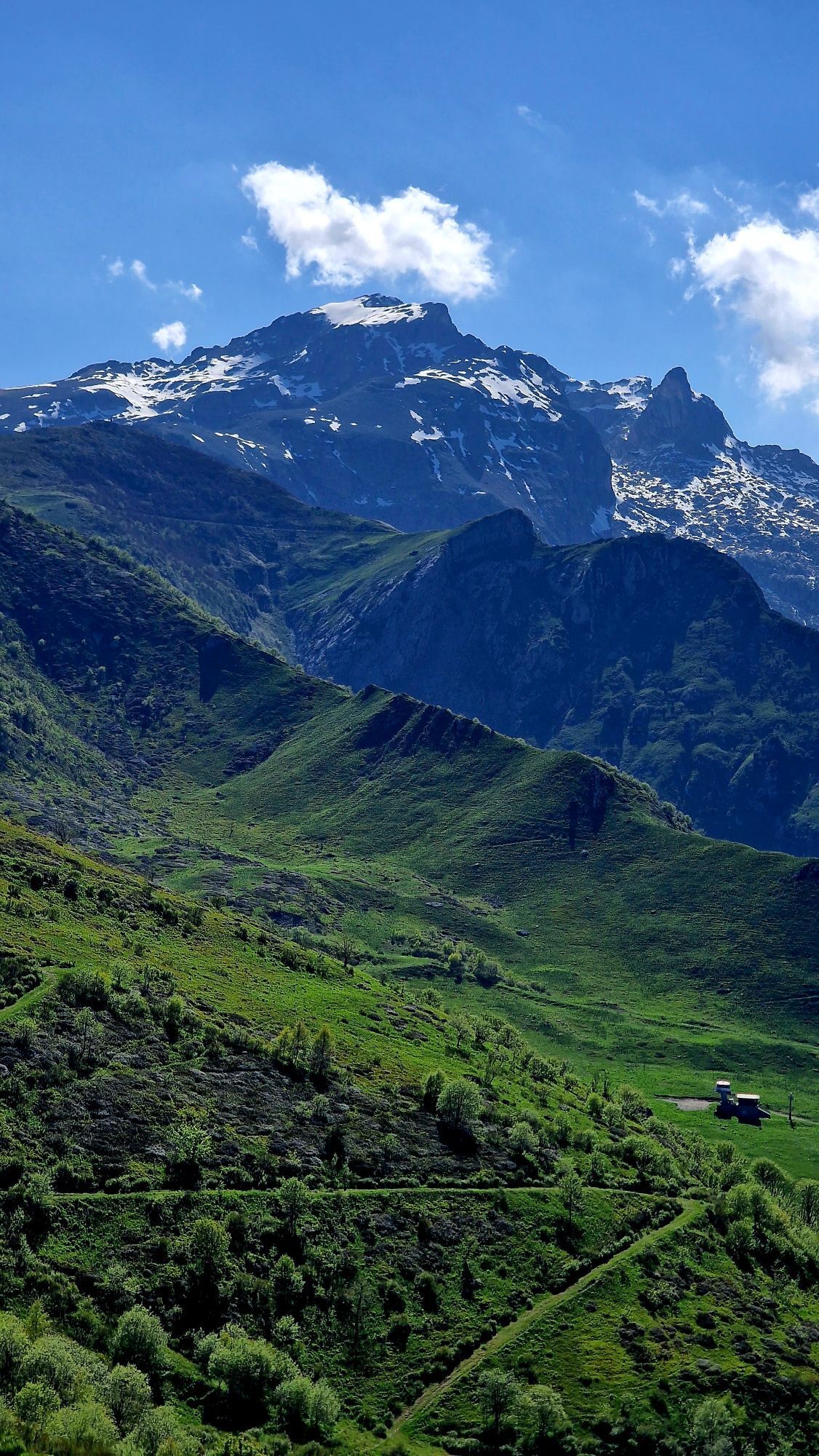
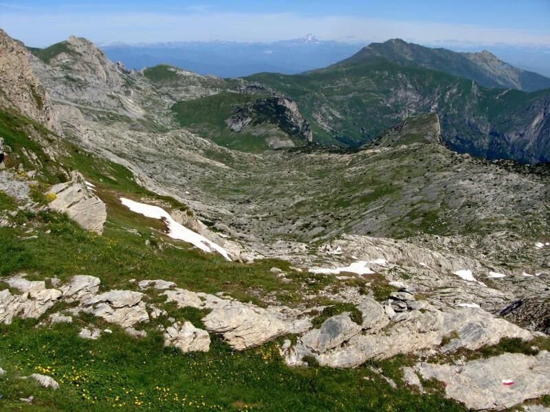
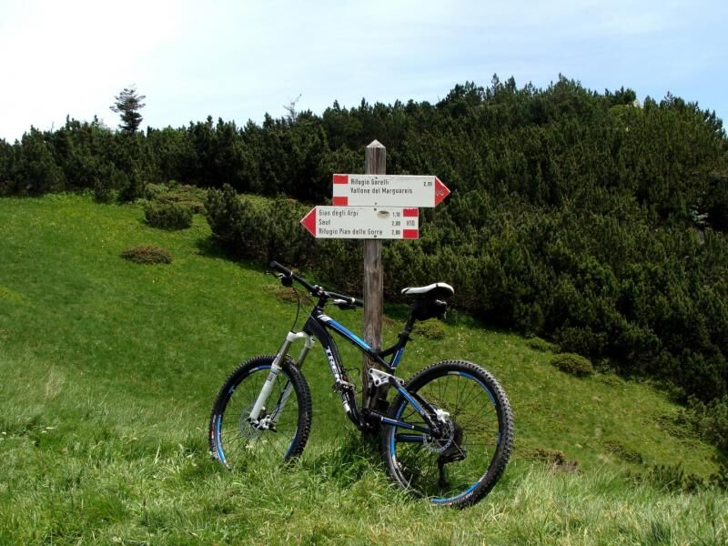
Immediately downstream of Limonetto you take a cartroad that, heading south, passes behind large apartment blocks, then turns into a mule track that climbs gently crossing a ski lift. You briefly follow a cartroad to the right, then you come back to the grassy Vallone di San Lorenzo. By cutting across a steep slope you reach the wide Colle di Tenda (1871 m) on the border between Italy and France. Here we leave the Maritime Alps to enter the Ligurian Alps: once we reach Fort Central we proceed eastwards on a dirt road that is almost flat on the watershed, then on the Italian side to the upper chairlift station. The road climbs with a couple of hairpin bends and reaches Colletto Campanin (2142 m), then continues on the Italian side to Col della Boaria (2102 m) from where you can quickly reach Colla Piana di Malaberga. Beyond the pass the mule track divides: both forks rejoin, but the one on the left that brushes the Capanna Morgantini (2219 m) is better. The mule track descends to the edge of the Conca delle Carsene then, with a long semicircle from left to right, goes around the pastureland basin of Gias dell'Ortica (1860 m). You leave the two paths on the left, respectively for the Colle del Carbone and the Passo di Baban, then, resuming the climb, you ignore the track for the Passo Scarason on the right and you reach the Passo del Duca (1989 m), a narrow pass that accesses Valle Pesio. Beyond the pass a path descends steeply to the nearby crossroads, where you keep to the right to reach the Colle del Prel Soprano (1926 m); here you take the fork on the right for the path that descends into the Vallone del Marguareis and, skirting the Rio for a stretch, you reach the Marguareis Lake (1924 m). From here you go up again on the opposite side and quickly reach Rifugio Garelli.


Webové kamery z prehliadky
Získajte prehľad
Vždy naživo na mieste s viac ako 9 500 webovými kamerami. bergfex Ako používateľ Pro si teraz môžete pozrieť príslušné webové kamery pre mnohé zájazdy v aplikácii zájazdy z. Môžete si tak priamo prezerať aktuálne podmienky.
Obľúbené výlety v okolí
-
Historic Mountain Routes | High Salt Road
ťažkéMountainbike 104,8 km -
The Upper Salt Road, from the Alps to the sea
ťažkéMountainbike 112,7 km -
5,0
Tour of Marguareis | Stage 4 Mongioie Refuge - Don Barbera Refuge
strednáTuristika 11,6 km -
Tour of Marguareis Stage 1 | Pian delle Gorre - Garelli refuge
strednáTuristika 7,34 km -
Trail no. 05: Colla d'Agnaira - Sella della Valletta
Turistika 14,5 km -
AVU Alta Via dei Lupi | Stage 2 Mondovì refuge - Don Barbera refuge
strednáTuristika 14,6 km -
IM_04 Monte Saccarello da Realdo
Turistika 6,09 km -
5,0
Historical Mountain Routes | Sabbione Road
ťažkéTuristika 11,9 km -
GTA Upper variant of Marguareis: Stage 68A Limonetto - Rifugio Don Barbera
strednáTuristika 19,6 km -
Giro del Marguareis tapa 4 variante
strednáTuristika 14,5 km
Turistika a stopovanie


Nenechajte si ujsť ponuky a inšpiráciu na ďalšiu dovolenku
Vaša e-mailová adresa bol pridaný do poštového zoznamu.





