


GTA variant of upper Marguareis: Stage 68B Rifugio Don Barbera - Rifugio Havis de Giorgio
From Rifugio Don Barbera near Colle dei Signori, follow the path of the Chiusetta valley down to an altitude of 1660 m to the Gola della Chiusetta where the A04 route crosses. Turn left and quickly climb...
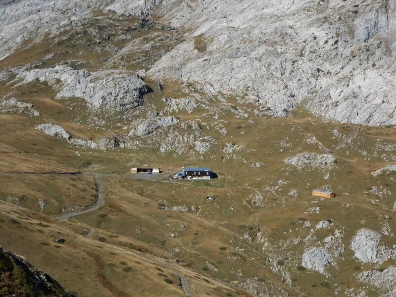
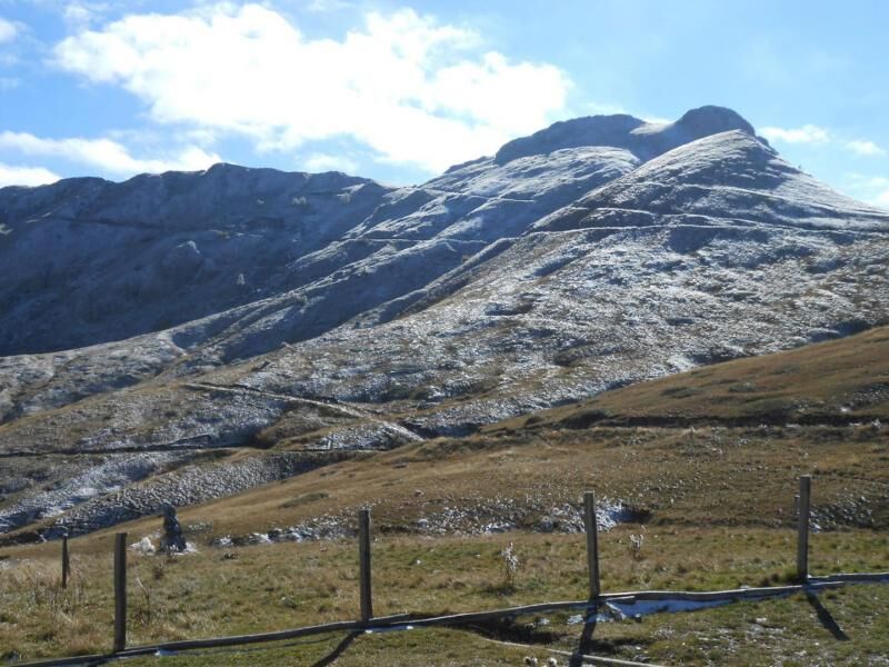
From Rifugio Don Barbera near Colle dei Signori, follow the path of the Chiusetta valley down to an altitude of 1660 m to the Gola della Chiusetta where the A04 route crosses. Turn left and quickly climb up to Passo delle Maestrelle, beyond which the Piaggiabella basin opens with the entrance to the homonymous karst complex, one of the largest in the Alps. You then go back up the valley on grassy slopes passing by the Saracco Volante speleological refuge and following the wide hairpin bends on detrital material that lead to Colle del Pas (2349 m). You then descend into the wide valley behind on grassy pastures to Lake Ratoira and the crossroads below with the G06 route (about 2200 m) where you resume the main route (Stage 68). Follow it to the right, diagonally crossing grassy slopes high above the basin of Lake Biecai. After passing a small stream, you go up a short stretch reaching a not very visible bifurcation near some ruins. Ignore the track on the left for Lago delle Moie and continue on ahead. Now you go along the hillside around the entire basin of Lake Biecai, passing other ruins and reaching the narrow passage known as Porta Biecai (2004 m). Then you descend quite steeply along winding roads from the rocky bastion that closes the basin of Lake Biecai and enter the small valley of Rio Ciappa. With a long, slightly downhill traverse, on the orographic right of the valley, the path cuts through a meadow area and some dense scrub of rhododendrons and other shrubs. There are some marshy stretches but on suitably cobbled ground. Going around the northern extremities of Punta Havis De Giorgio the path reverses direction and descends in a few minutes to Rifugio Mondov Havis De Giorgio (1755 m).

Obľúbené výlety v okolí
-
Historic Mountain Routes | High Salt Road
ťažkéMountainbike 104,8 km -
5,0
Tour of Marguareis | Stage 4 Mongioie Refuge - Don Barbera Refuge
strednáTuristika 11,6 km -
Trail no. 06: Sella della Valletta - Colla S. Barnardo
Turistika 8,04 km -
Trail no. 05: Colla d'Agnaira - Sella della Valletta
Turistika 14,5 km -
The Raschera loop
strednáMountainbike 62,1 km -
The Upper Salt Road, from the Alps to the sea
ťažkéMountainbike 112,7 km -
AVU Alta Via dei Lupi | Stage 2 Mondovì refuge - Don Barbera refuge
strednáTuristika 14,6 km -
Tour of Marguareis Stage 1 | Pian delle Gorre - Garelli refuge
strednáTuristika 7,34 km -
IM_04 Monte Saccarello da Realdo
Turistika 6,09 km -
GTA Upper variant of Marguareis: Stage 68A Limonetto - Rifugio Don Barbera
strednáTuristika 19,6 km

Turistika a stopovanie


Nenechajte si ujsť ponuky a inšpiráciu na ďalšiu dovolenku
Vaša e-mailová adresa bol pridaný do poštového zoznamu.