


Grande Traversata della Valsesia (GTV): Stage 1 Bocchetta della Boscarola - Alp Toso
Fotografie našich používateľov
-
 © Stefano FabiVytvorené dňa 21.05.2025
 -
 © Stefano FabiVytvorené dňa 21.05.2025
 -
 © Stefano FabiVytvorené dňa 21.05.2025
 -
 © Stefano FabiVytvorené dňa 21.05.2025
 -
 © Stefano FabiVytvorené dňa 21.05.2025
 -
 © Stefano FabiVytvorené dňa 21.05.2025
 -
 © Stefano FabiVytvorené dňa 21.05.2025
 -
 © Stefano FabiVytvorené dňa 21.05.2025


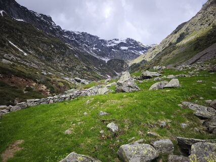
The first part of the route of this stage retraces a part of the crossing of the Alta Valsessera ring (with relative connection to the GTB - Gran Traversata del Biellese), crossing the watershed chain...
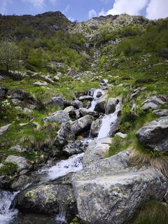
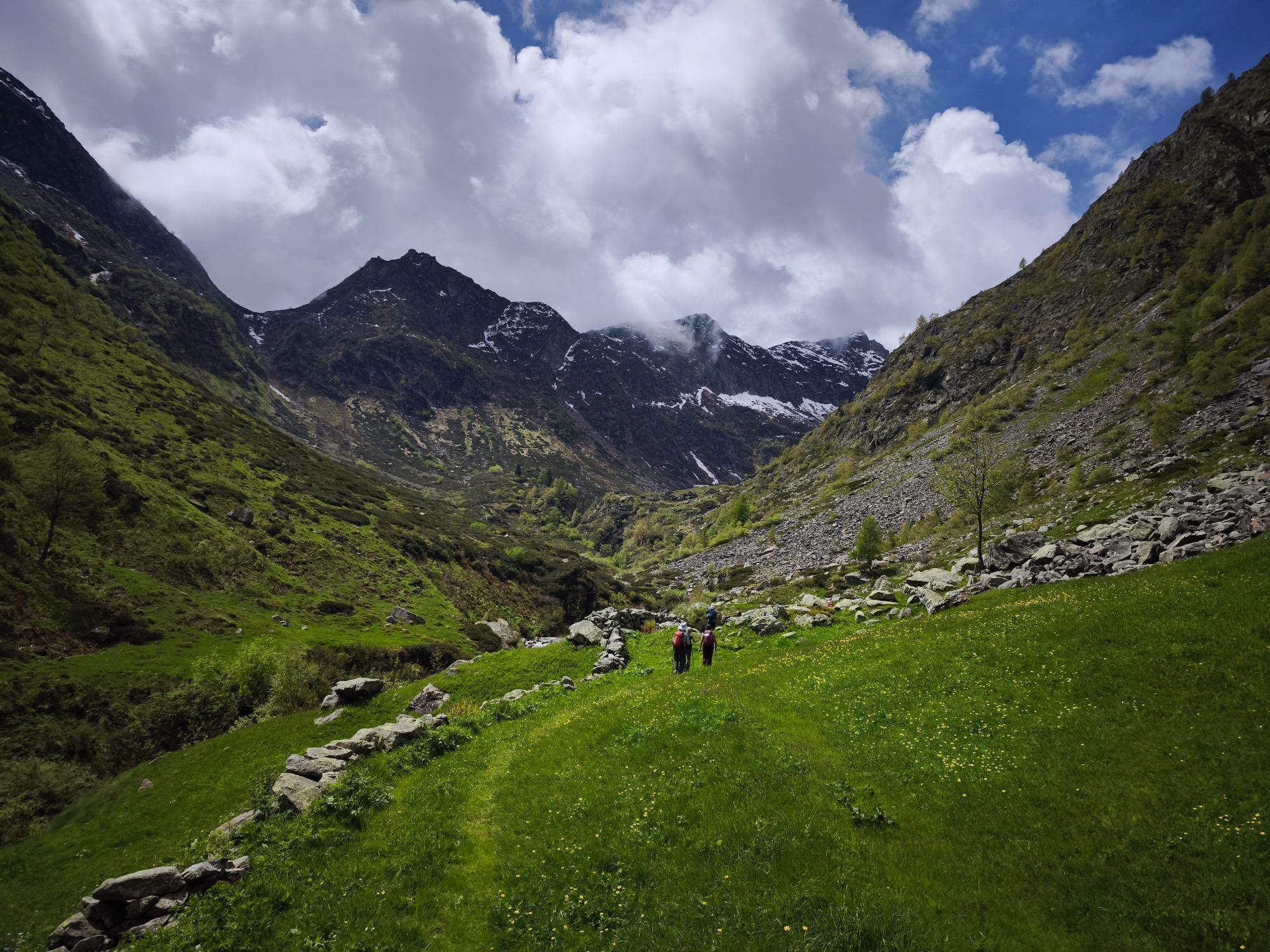
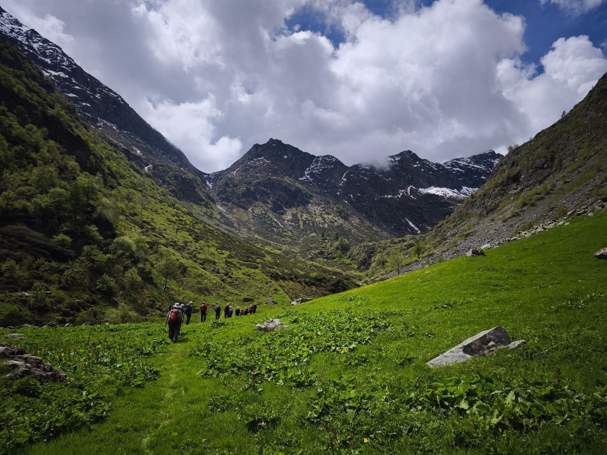
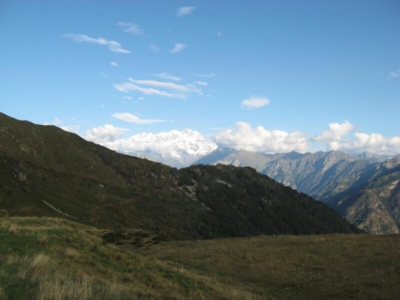
The first part of the route of this stage retraces a part of the crossing of the Alta Valsessera ring (with relative connection to the GTB - Gran Traversata del Biellese), crossing the watershed chain between Valsesia and Biellese in the stretch on the ridge between the Bocchetta della Boscarola and the Bocchetta dei Fornei. The stretch is very panoramic both on the Po Valley and on Monte Rosa (and the other most important peaks of Valsesia) and allows easy ascent to some peaks: the Cima dOmetto (1911 m), the Testone Tre Alpi (2081 m) and the Punta Scalaccia (2034 m). Halfway along the route you can make a diversion to Rifugio Meggiana, a possible intermediate stage. From here the route descends into one of the valleys of Rassa: the Val Sorba. First you cross Alpe Sorbella (1600 m) and go down to Ponte di Prabella (1180 m) and then up Val Sorba to Alpe Toso (1649 m) where the Cai Varallo is located.

The first part of the route of this stage retraces a portion of the crossing of the Alta Valsessera ring (with relative connection to the GTB - Gran Traversata del Biellese) crossing the crest of the watershed chain located between Valsesia and the Biellese in the stretch between the Bocchetta della Boscarola and the Bocchetta dei Fornei. The stretch is very panoramic both on the Po Valley and on Monte Rosa (and the other most important peaks of Valsesia) and allows the easy ascent of some peaks: the Cima d'Ometto (1911 m.), the Testone Tre Alpi ( 2081 m.) and Punta Scalaccia (2034 m.). Halfway through the route you can make a detour to reach the Meggiana Refuge, a possible intermediate stop. From here the route descends into one of Rassa's valleys: Val Sorba. First crossing Alpe Sorbella (1600 m) you descend to the Ponte di Prabella (1180 m) and then go up the Sorba valley to Alpe Toso (1649 m) where the homonymous support point of the Cai Varallo is located .
Áno
High mountain clothing required, boots and windbreaker in technical fabric
Suitable clothing for high altitude routes is recommended
AlpofMera Ometto Peak (1911 m.) Testone Tre Alps( 2081 m.) Scalaccia Peak (2034 m.)
Obľúbené výlety v okolí
-
Da Coumarial al rifugio Barma
strednáTuristika 7,31 km -
Cammino d’oropa itinerario Valle Mosso -Bocchetta di Luvera
strednáHorská turistika 9,30 km -
Mars
strednáTuristika 8,46 km -
The Water Valley and the Zegna Oasis
strednáCestný bicykel 79,2 km -
From Biella to Oropa through Valle Cervo
ťažkéMountainbike 45,1 km -
5,0
Ospizio Sottile
strednáTuristika 4,77 km -
Historical Mountain Routes | The Via Regia along the Old Aosta Road
ťažkédiaľková pešia trasa 8,41 km -
Ciclabile della Valsesia: Tappa 5 Piode - Alagna Valsesia
ťažkéDiaľková cyklotrasa 15,5 km -
Ciclabile della Valsesia: Tappa 3 Varallo - Scopello
ťažkéDiaľková cyklotrasa 19,8 km -
Ciclabile della Valsesia: Tappa 4 Scopello - Piode
ťažkéDiaľková cyklotrasa 32,1 km

Turistika a stopovanie


Nenechajte si ujsť ponuky a inšpiráciu na ďalšiu dovolenku
Vaša e-mailová adresa bol pridaný do poštového zoznamu.