


Monferrato degli Infernot
Fotografie našich používateľov
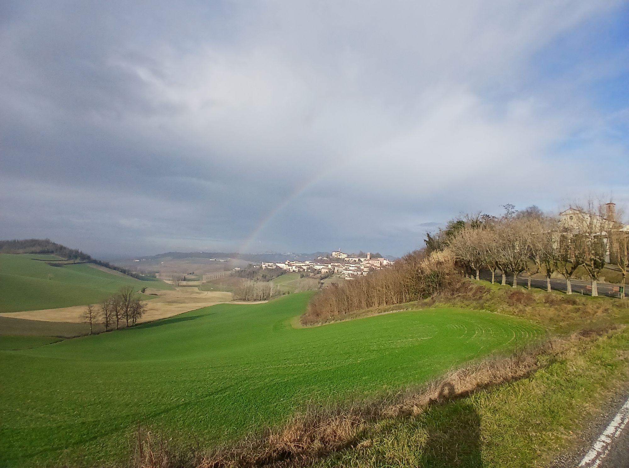
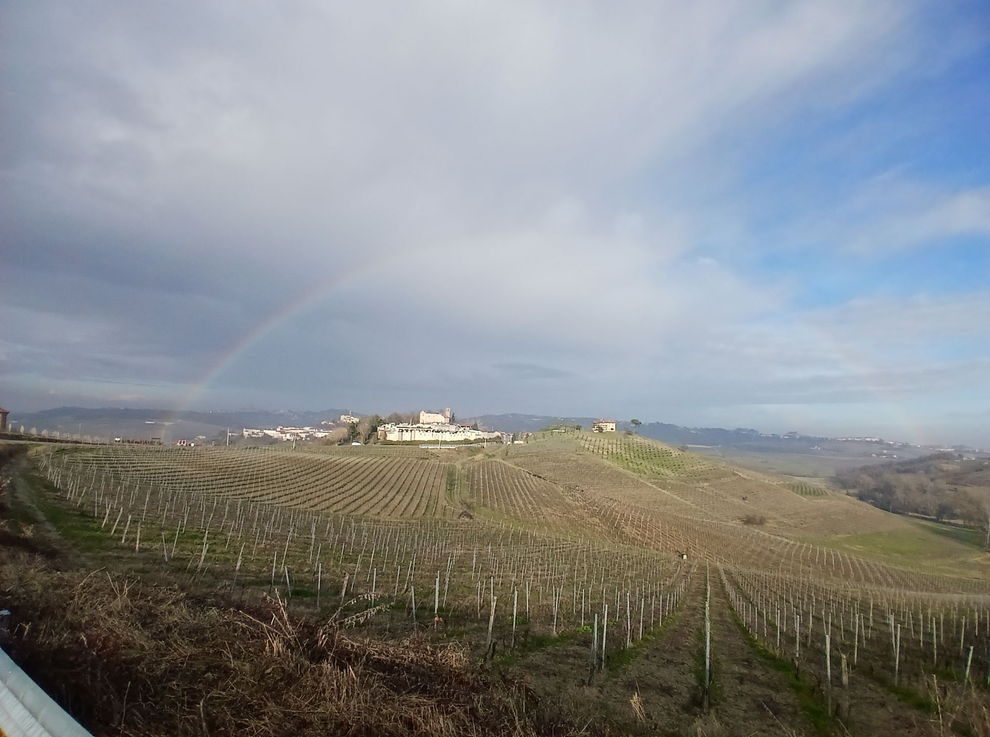
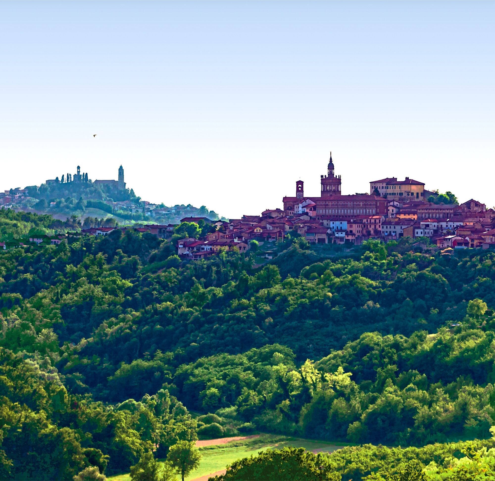
The proposed itinerary develops for about 47 km through the territory of Monferrato Casalese which has recently received the coveted recognition of the fiftieth Italian UNESCO World Heritage Site. The...
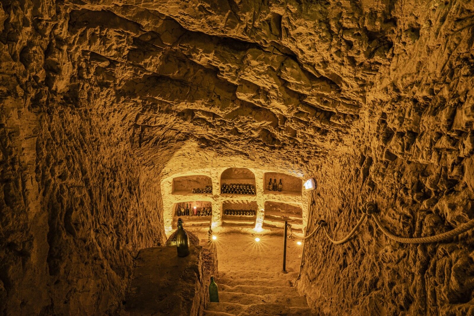
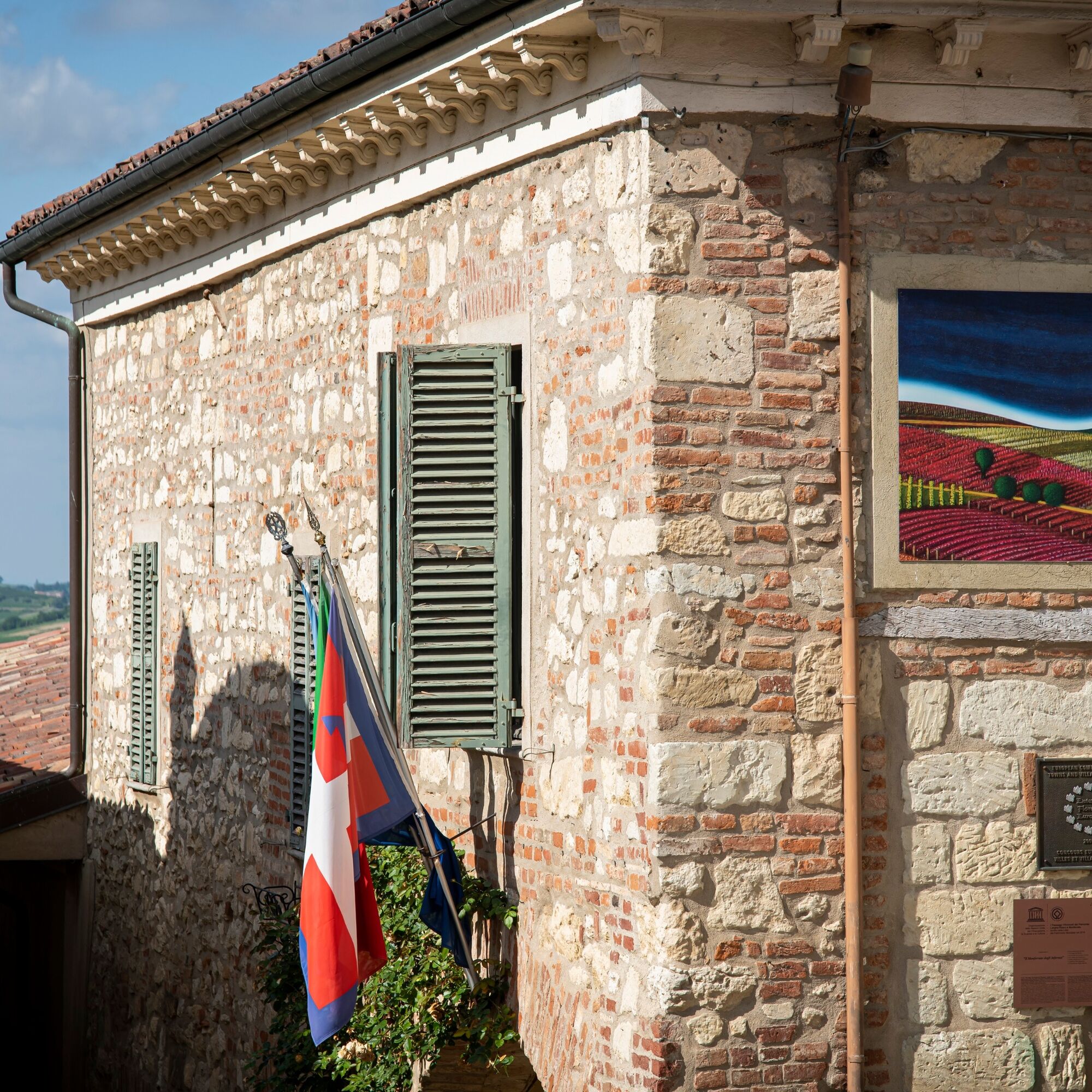
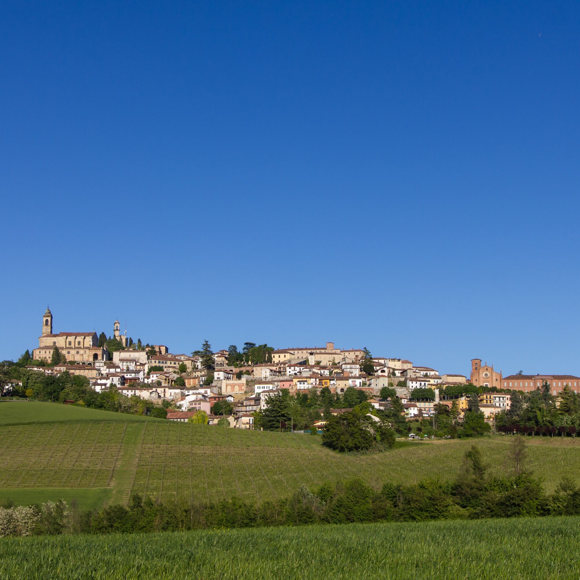
The proposed itinerary develops for about 47 km through the territory of Monferrato Casalese which has recently received the coveted recognition of the fiftieth Italian UNESCO World Heritage Site. The territory is in fact located within Component 6 of the Vineyard Landscapes of Piedmont: Langhe-Roero and Monferrato. Component 6 has been named "Il Monferrato degli Infernot". An infernot is a small underground chamber entirely excavated in Pietra da Cantoni Miocene stone without any direct light or aeration and is located next to or under the cellar but in direct contact with it. Due to its environmental characteristics of practically constant temperature and humidity, it lends itself to the conservation of the finest wines. They are true works of art, architectural masterpieces, born from tradition and peasant knowledge, made during the long winters, not by simple quarrymen but by Monferrini sculptors, artists who remained anonymous in almost all of the cases. The vineyard landscape of Monferrato that has achieved this coveted recognition is the exceptional result of a wine tradition that has been handed down over the years and which has evolved to the present day into excellent wine productions of which the infernot constitutes the treasure chest that preserves its flavours and knowledge. The itinerary is a ring along trails and paved roads with very little traffic. Often paved roads have been chosen to include in the route only because they develop along the ridge and are more panoramic compared to the trails that run along the valley.

Obľúbené výlety v okolí
-
Sentiero "Vigneti e Infernot" - Sentiero 726 in mountain bike
Mountainbike 14,1 km -
Sentiero le Vecchie Fonti - Sentiero 860 in camminata
Pútnická trasa 14,4 km -
Sentiero le Vecchie Fonti - Sentiero 860 in mountain bike
Mountainbike 14,4 km -
Sentiero "Vigneti e Infernot" - Sentiero 726 in camminata
Pútnická trasa 14,1 km -
Sentiero panorami e ciminiere di Ozzano - Sentiero 738 in camminata
Pútnická trasa 7,20 km -
Sentiero 700 - SVC Tratto Murisengo - Crea in mountain bike
Mountainbike 18,6 km -
Panoramas and chimneys path of Ozzano - Path 738 by mountain bike
Mountainbike 7,20 km -
Cycling the lands of San Giovanni Bosco
strednáMountainbike 61,7 km -
Sentiero Pieve di San Giovanni - Santuario di Crea - Sentiero 727 in mountain bike
Mountainbike 27,3 km -
Sentiero 700 - SVC Tratto Murisengo - Crea in camminata
Pútnická trasa 18,6 km
Turistika a stopovanie


Nenechajte si ujsť ponuky a inšpiráciu na ďalšiu dovolenku
Vaša e-mailová adresa bol pridaný do poštového zoznamu.