







CERES Santa Cristina Loop
The start is from the center of Ceres, along a pedestrian street lined with ancient and typical houses up to the characteristic isolated bell tower of Santa Marcellina.
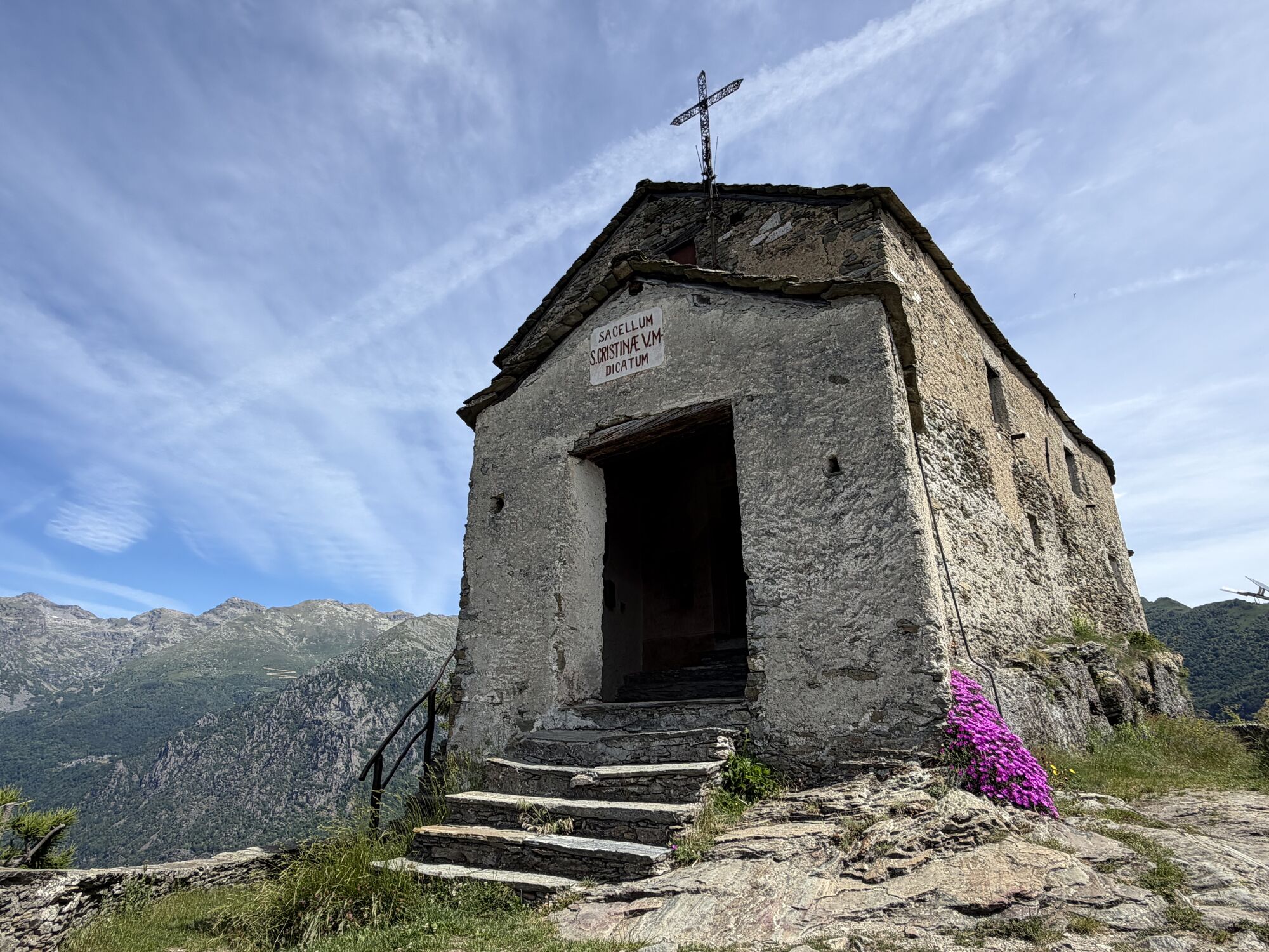
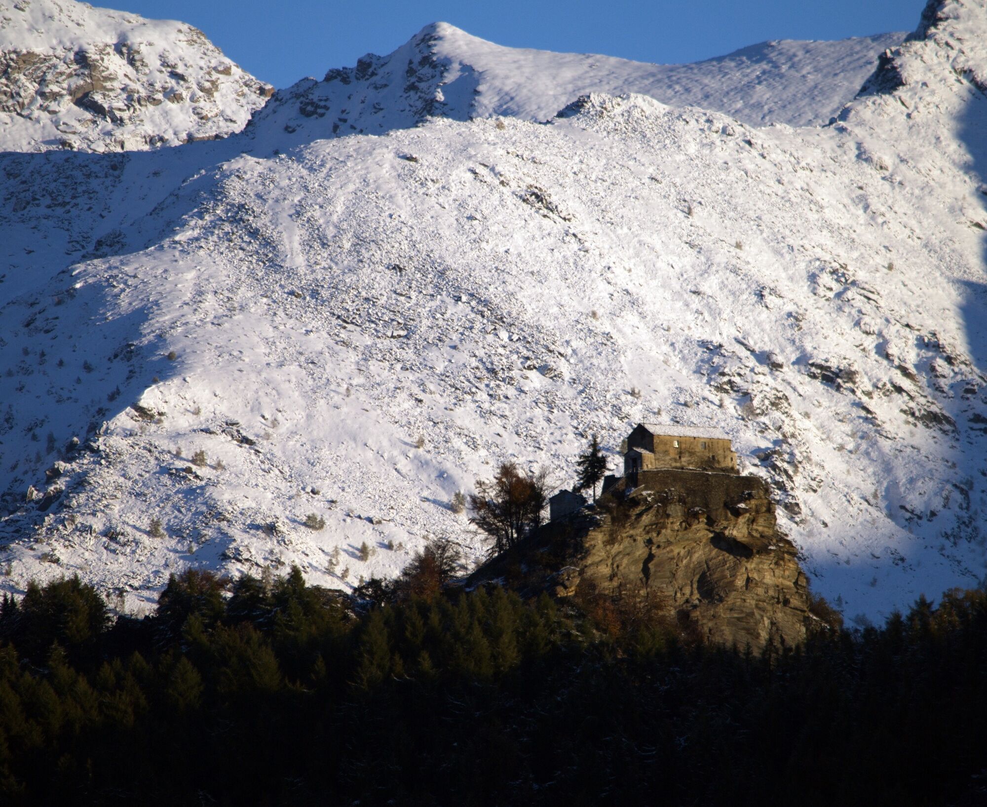
The sanctuary of Santa Cristina...
The start is from the center of Ceres, along a pedestrian street lined with ancient and typical houses up to the characteristic isolated bell tower of Santa Marcellina.
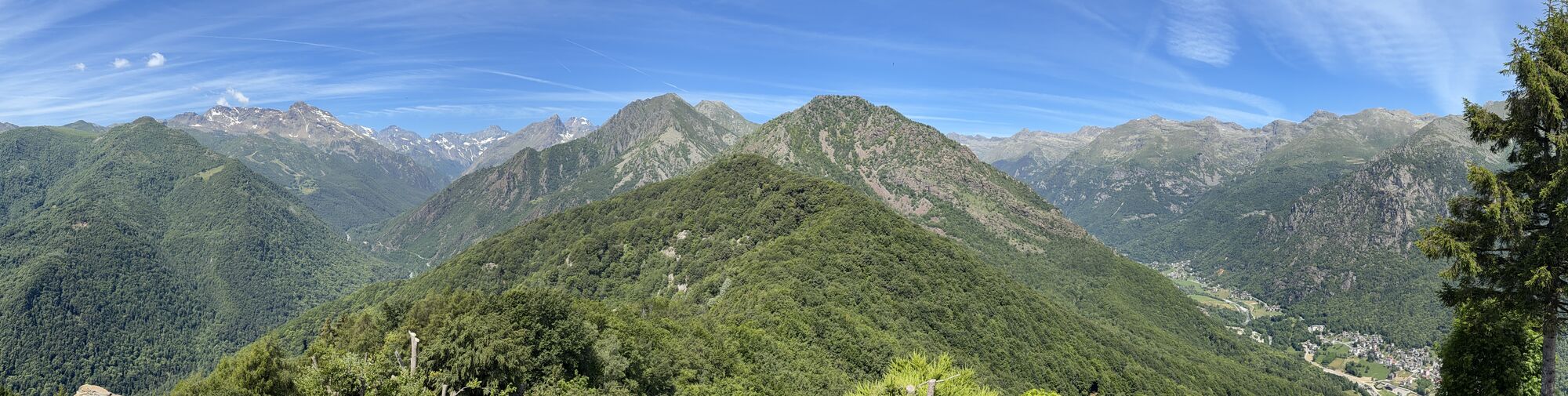
The sanctuary of Santa Cristina is a place very dear to the inhabitants of both Ceres and Cantoira. Inside are preserved ex-votos, and every summer a celebration takes place with mass, auction and polenta feast. The building is located on the edge of a cliff, right where the Val Grande di Lanzo meets the Val d’Ala: the view is therefore wide and exciting.
During the ascent you encounter two other chapels: the Plague Victims chapel, so called because it was the place where religious services were held during epidemics, and the chapel of the Angels, still in good condition.
The paths cross beautiful medium mountain woods. Notable are the beautiful centuries-old chestnuts near Pian di Ceres and the extensive beech forest on the side of Cantoira.

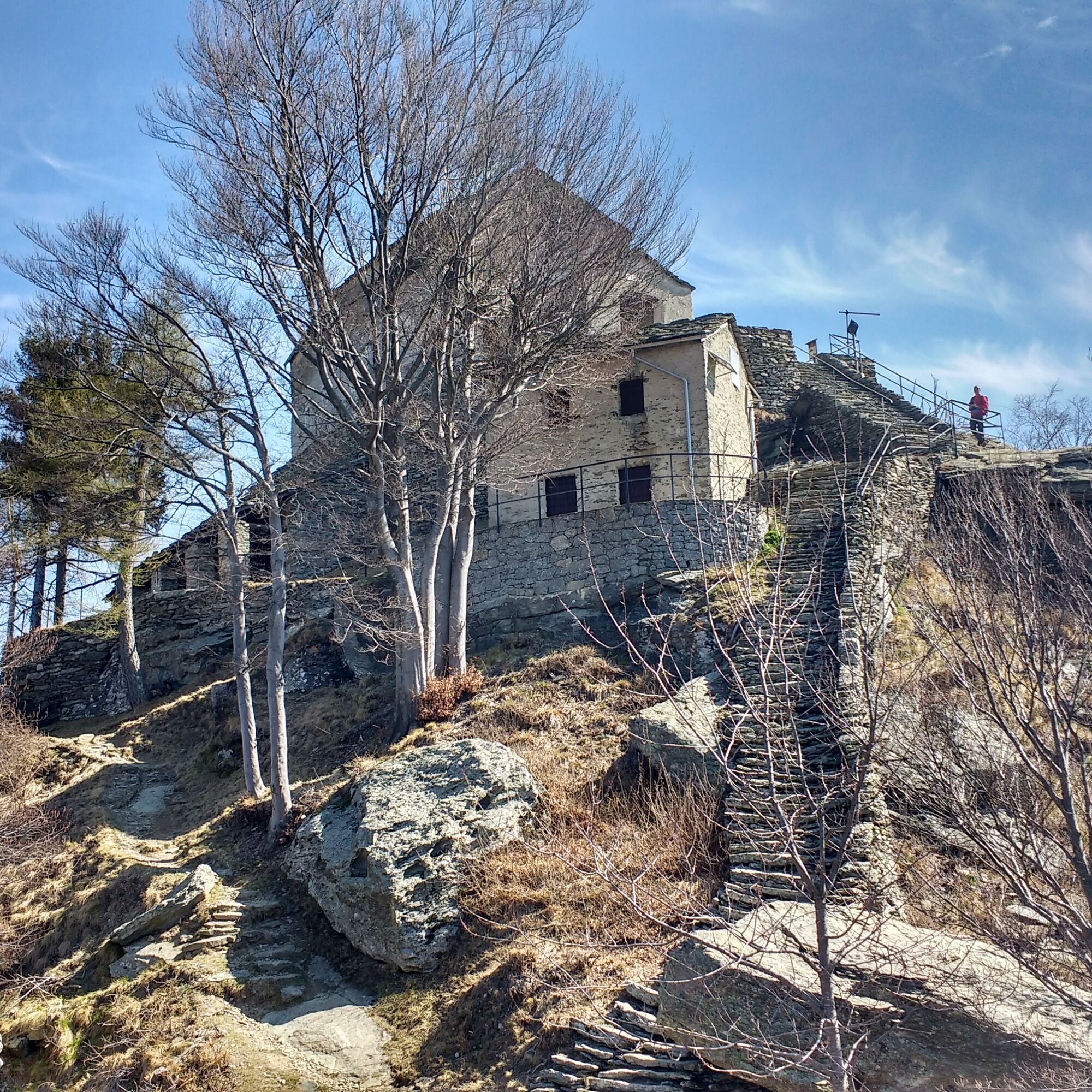
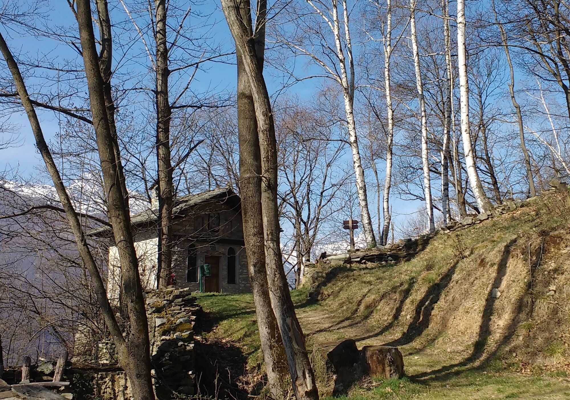
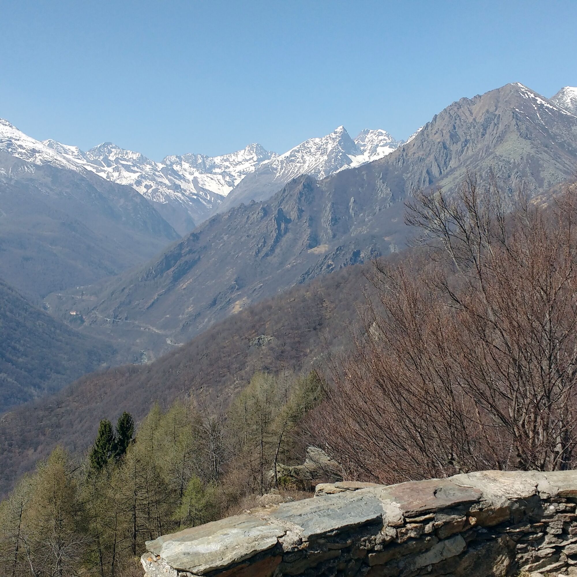
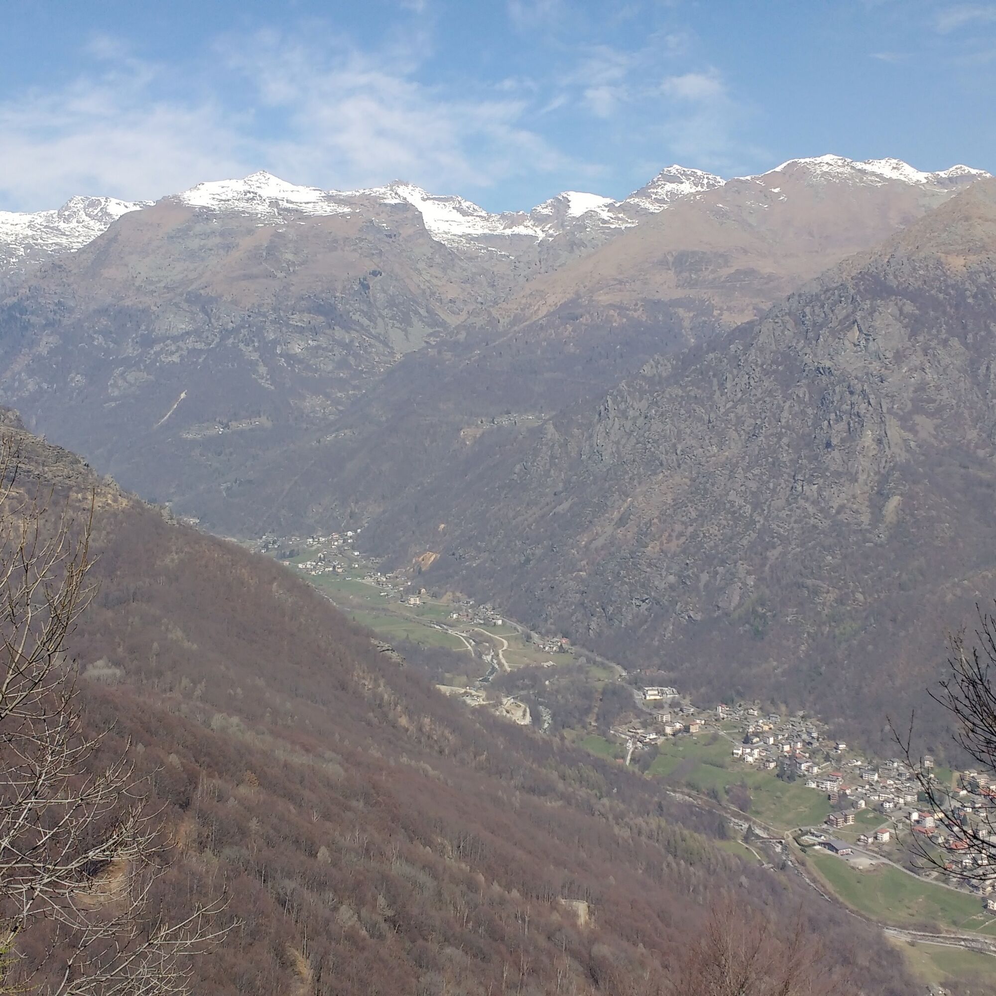
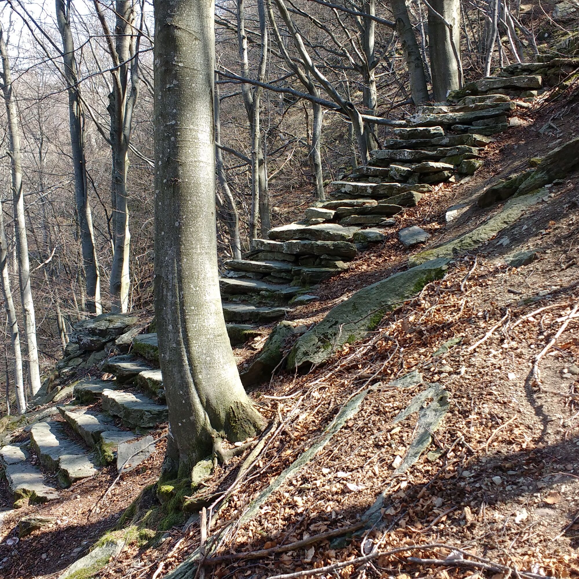
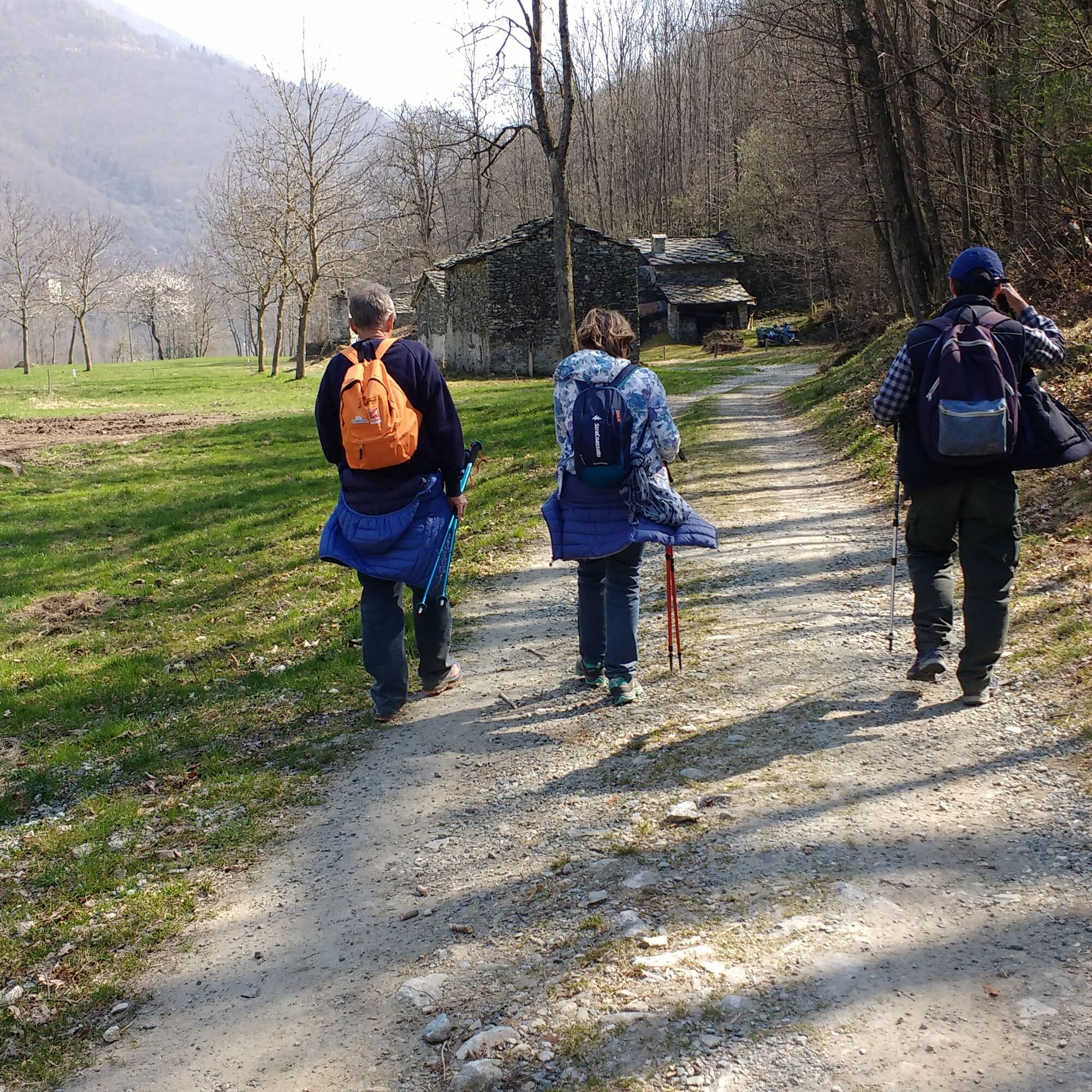

Go up via Roma until you take via Cavalieri di Vittorio Veneto on the left (it is recommended to continue on via Roma for about a hundred meters for a small detour to admire the bell tower of Santa Marcellina). Follow the road until it becomes unpaved: here begins the path on the right which climbs steeply, crossing an unpaved road (to be ignored) until reaching the ancient buildings of Pian di Ceres. Continuing for a few minutes you reach the chapel of the Plague Victims and an old Barma (literally shelter under rock). Here the path crosses the unpaved road several times, then continues to climb with a steep incline until the chapel of the Angels. The path keeps climbing, crosses a stream and goes into a conifer forest to reach Col Balance (1272 m). Ignore the forks on the left, descend slightly to resume the last climb that leads to the base of the final staircase, at the top of which you reach the sanctuary.
From Santa Cristina, descend the staircase to turn right at its base and enter the opposite side of the mountain (towards the North). Then descend on large stone steps and lower down the route crosses a forest road several times until reaching the valley floor in the locality of Inverso. Shortly beyond, at the height of a votive pillar, there is a junction of unpaved roads: turn right and follow the stream for a couple of kilometers. Before reaching the asphalt road, take a small path on the right that leads towards Ceres: first near the cemetery and then reconnects to the outbound route at the bell tower. Alternatively, you reach the asphalt road and take it to the right towards the center of the village.
Access to the sanctuary can also be made starting from Cantoira or from the Voragno hamlet of Ceres.
Áno
Non-slip sole footwear, wind/rain protection, a warm layer, hat and sunglasses are recommended.
There are no refreshment points along the route, so you should stock up on water and food at the start.
The useful exits from the Turin ring road are Venaria Reale or Borgaro: then join provincial road 1 (direct route) of the Lanzo valleys. In Germagnano follow signs for Ceres.
Train: SFMA line Turin - Caselle - Ceres.
From the station it takes less than ten minutes to reach the village center, the starting point of the loop.
Parking is available on the left before entering the village center. Another parking lot is in the parish square, or from the center towards Val Grande there is parking on via Roma at the junction with SP 33dir.
For information: Lanzo Valleys Tourist Operators Consortium - www.turismovallidilanzo.it
Obľúbené výlety v okolí
-
5,0
CERESOLE REALE Bellagarda ponds
strednáTuristika 7,60 km -
5,0
BALME Green Lakes and Lago Paschiet
strednáTuristika 7,51 km -
ALPETTE Monte Soglio and cima Mares from Balmassa
strednáTuristika 10,9 km -
MONASTEROLO Ca' Bianca and Big Bench
svetloTuristika 4,13 km -
5,0
LEMIE Ovarda Lakes loop
ťažkéTuristika 15,9 km -
VALLO TORINESE Passo della Croce and the Turu
strednáTuristika 4,29 km -
GPR - Giroparco Gran Paradiso
ťažkéTuristika 100,4 km -
5,0
PONT CANAVESE Valle Orco and Colle del Nivolet
ťažkéCyklistika 56,3 km -
5,0
ROCCA CANAVESE Madonna della Neve - Bandito Chapel
strednáTuristika 12,4 km -
Grande Traversata delle Alpi - GTA: Central Piedmont Section
strednáTuristika 318,3 km
Turistika a stopovanie


Nenechajte si ujsť ponuky a inšpiráciu na ďalšiu dovolenku
Vaša e-mailová adresa bol pridaný do poštového zoznamu.





