






Stage 4: Alpine Hut Route Bognanco - Domodossola
Úroveň náročnosti: T2
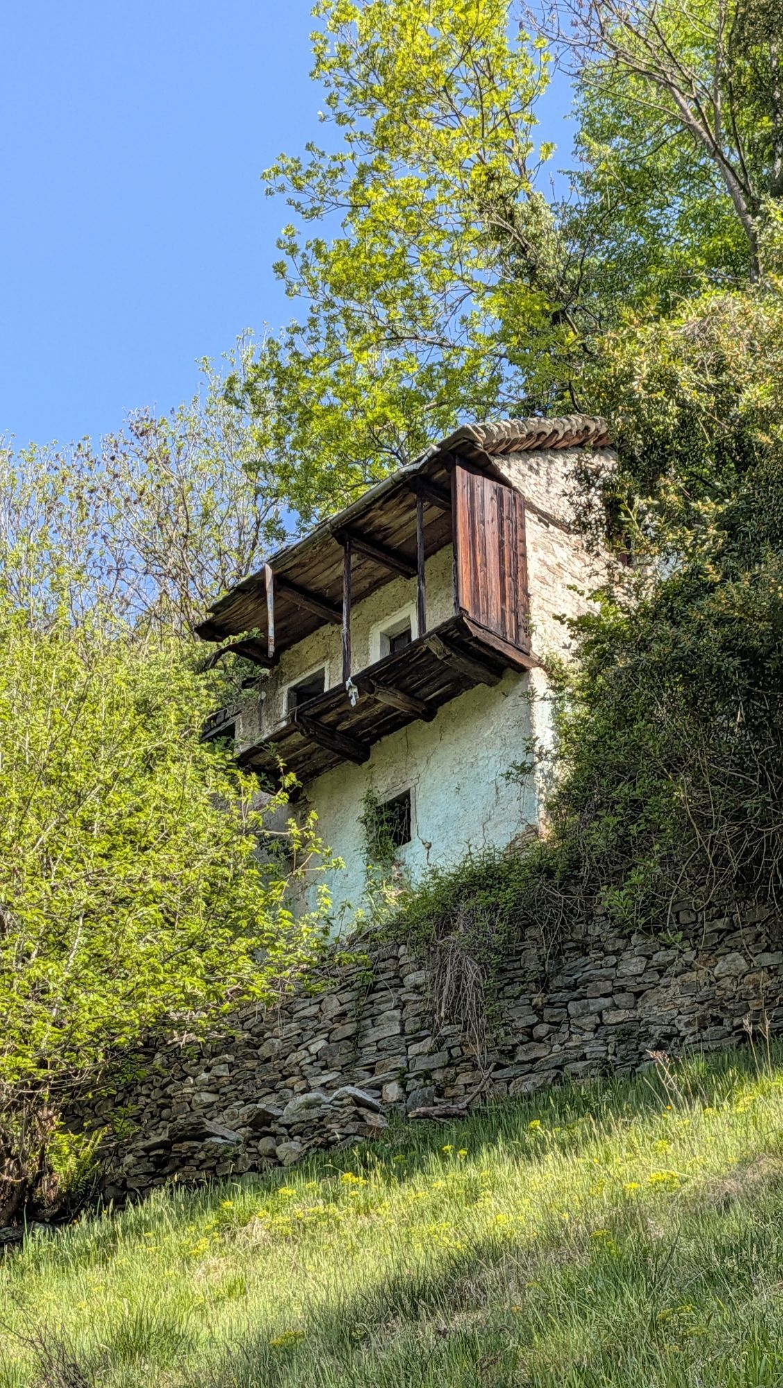
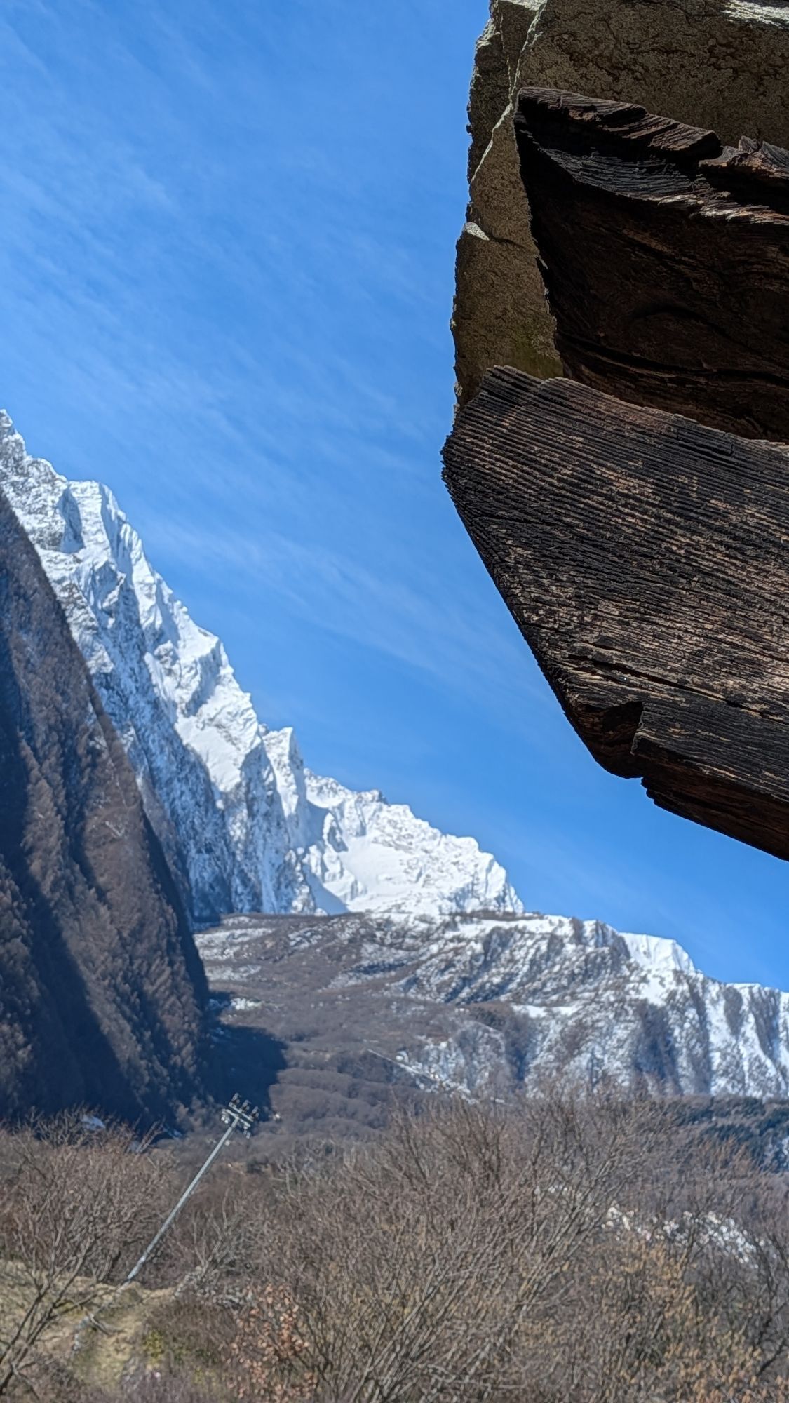
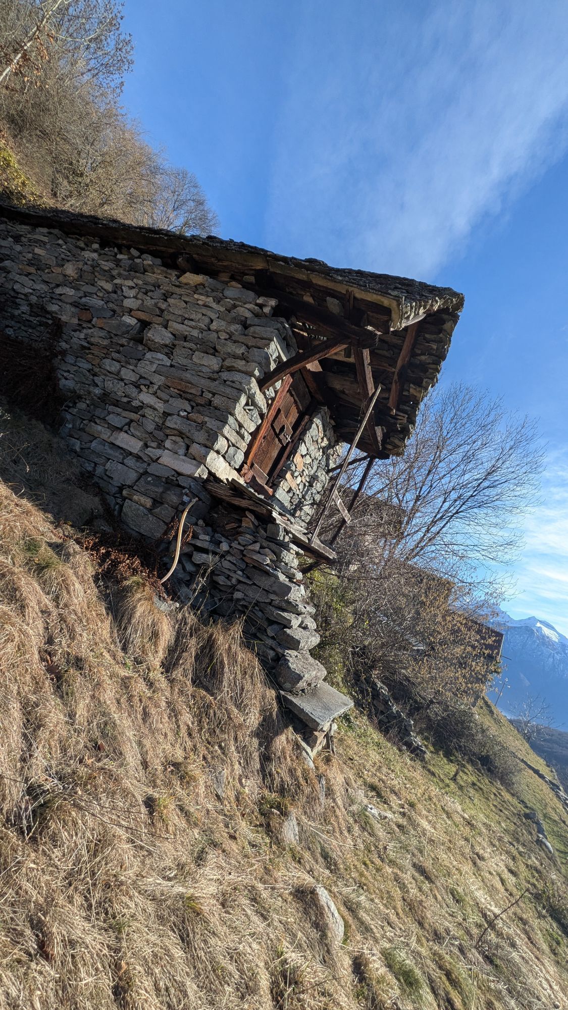
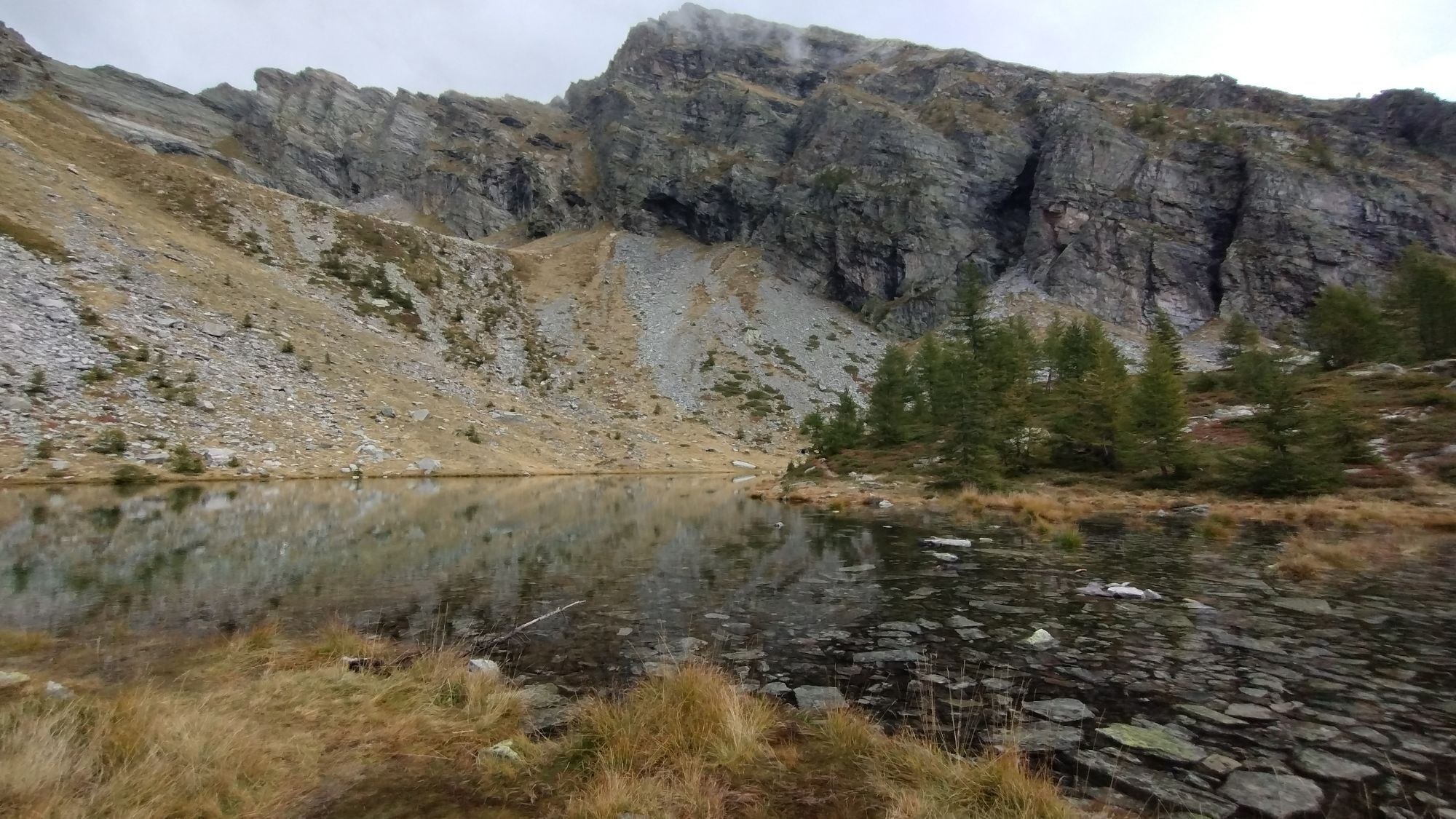
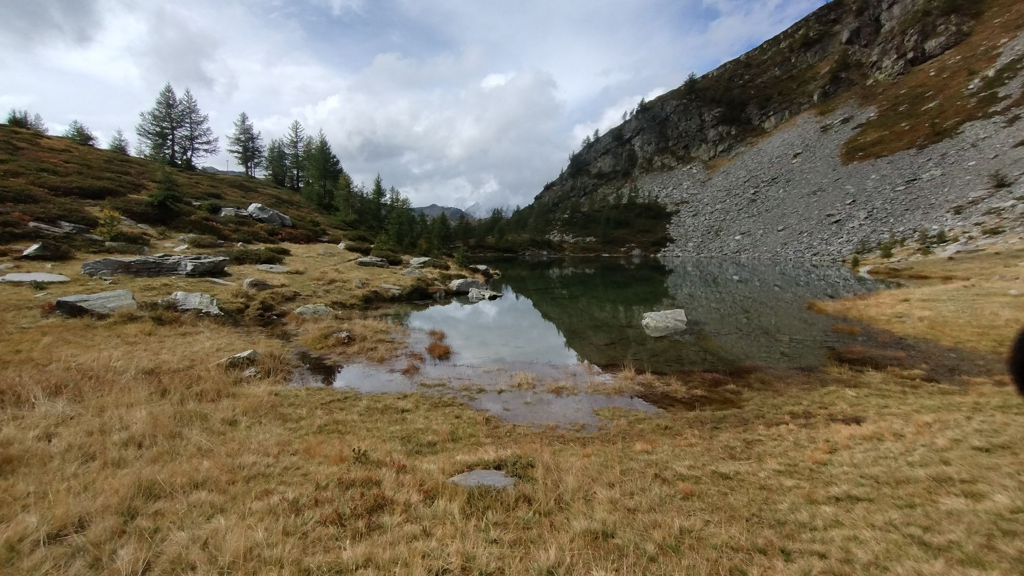
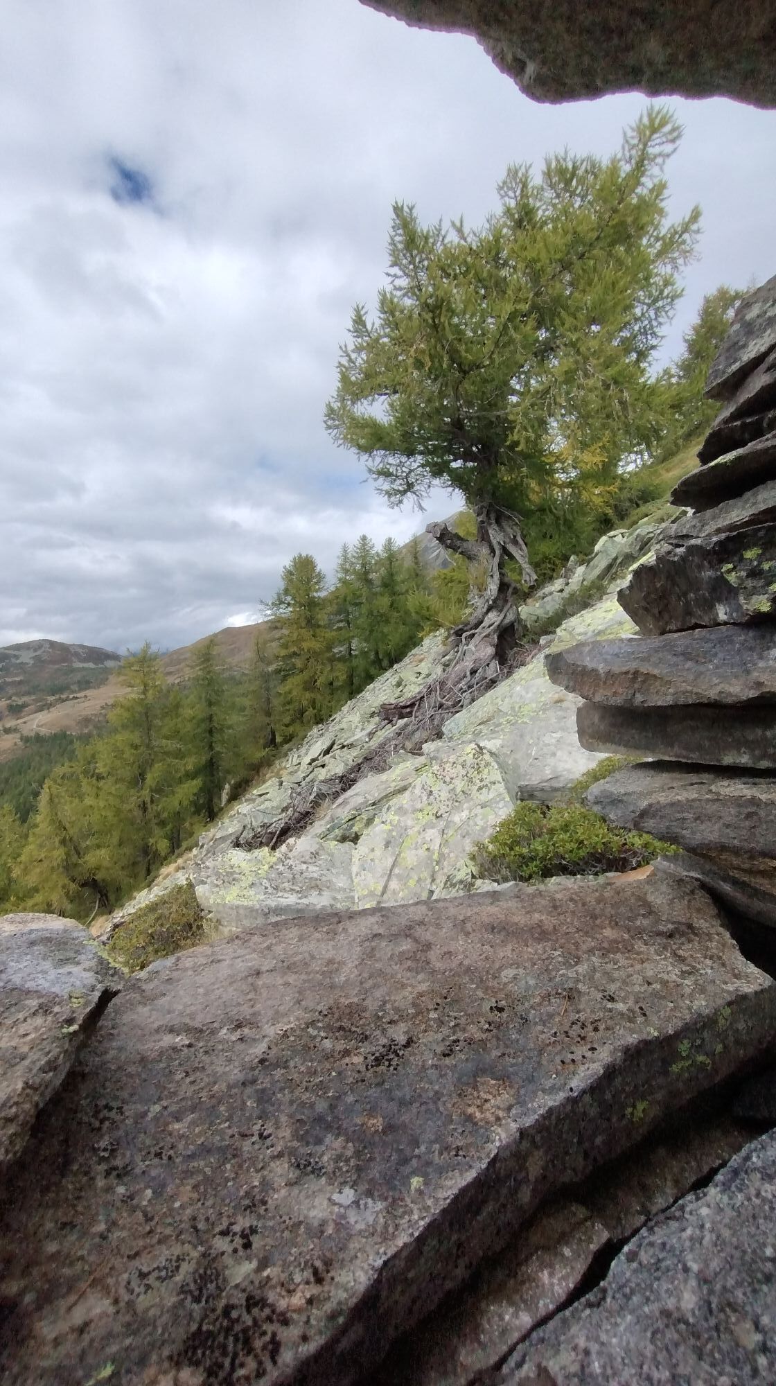
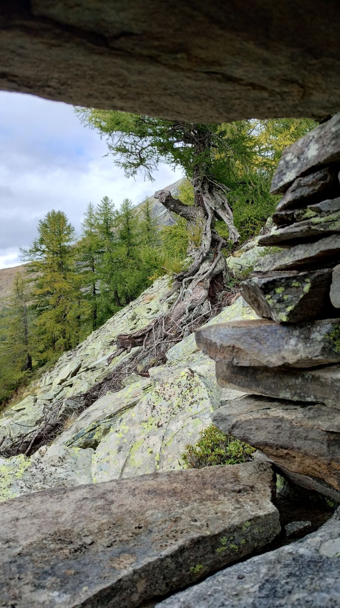
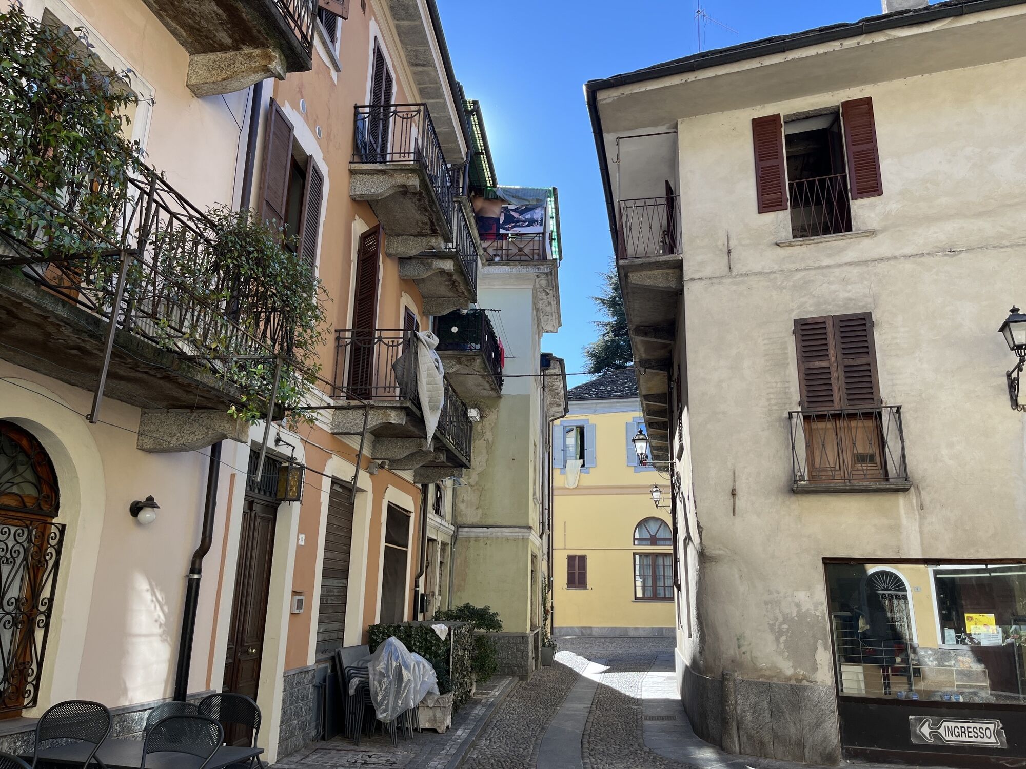
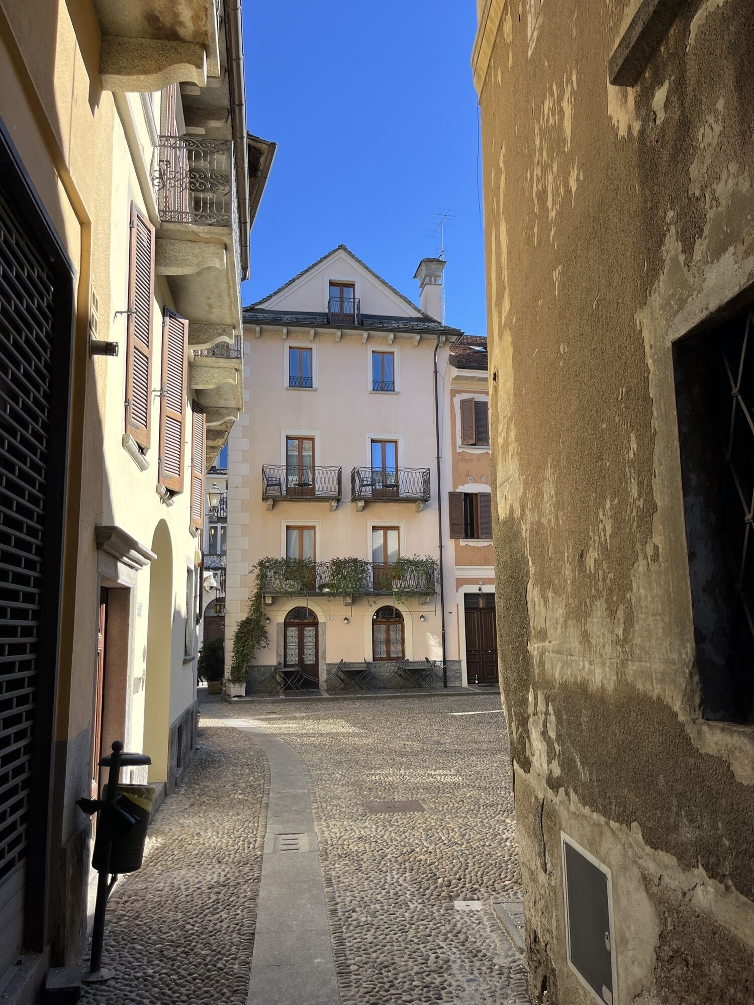
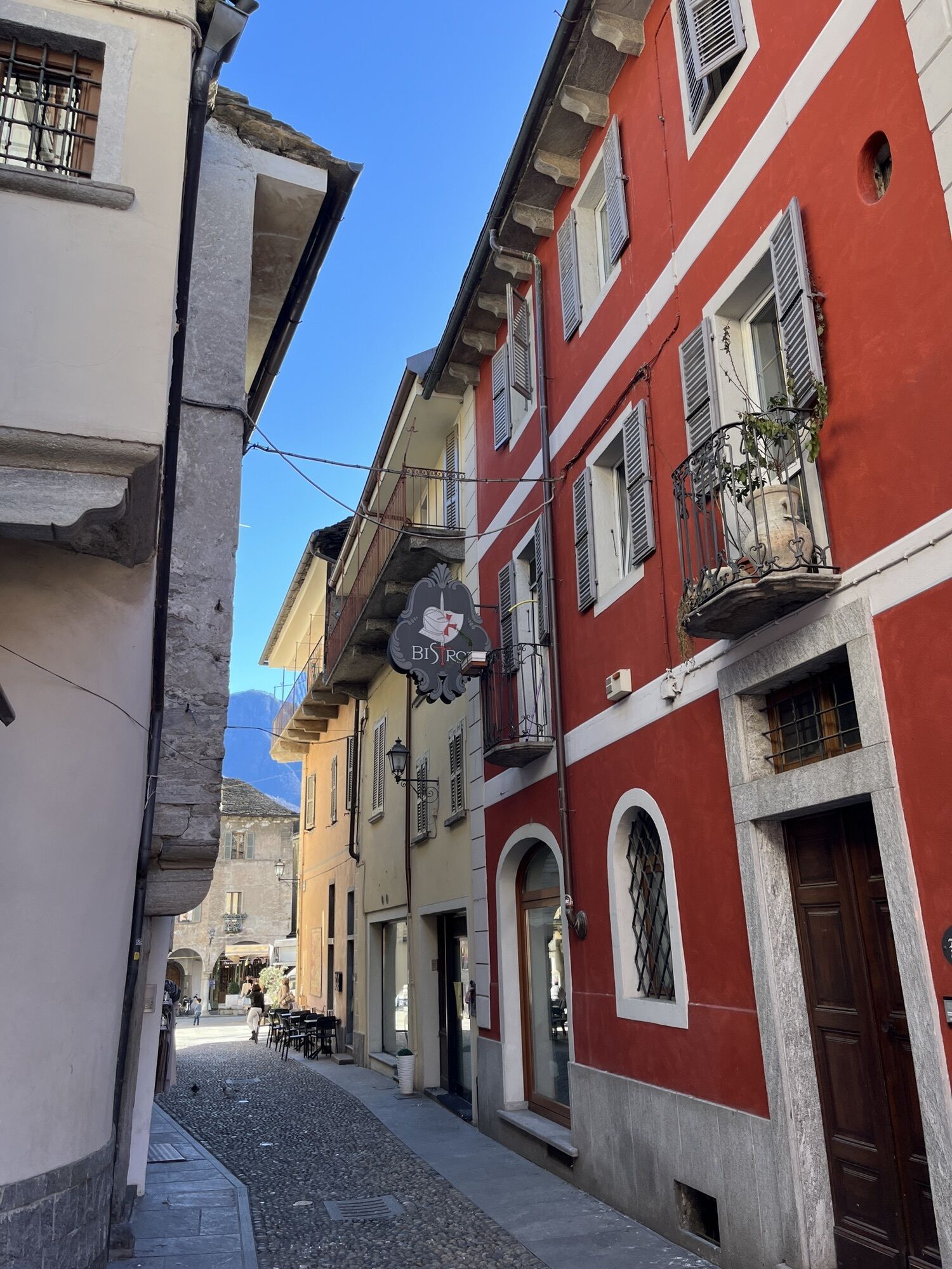
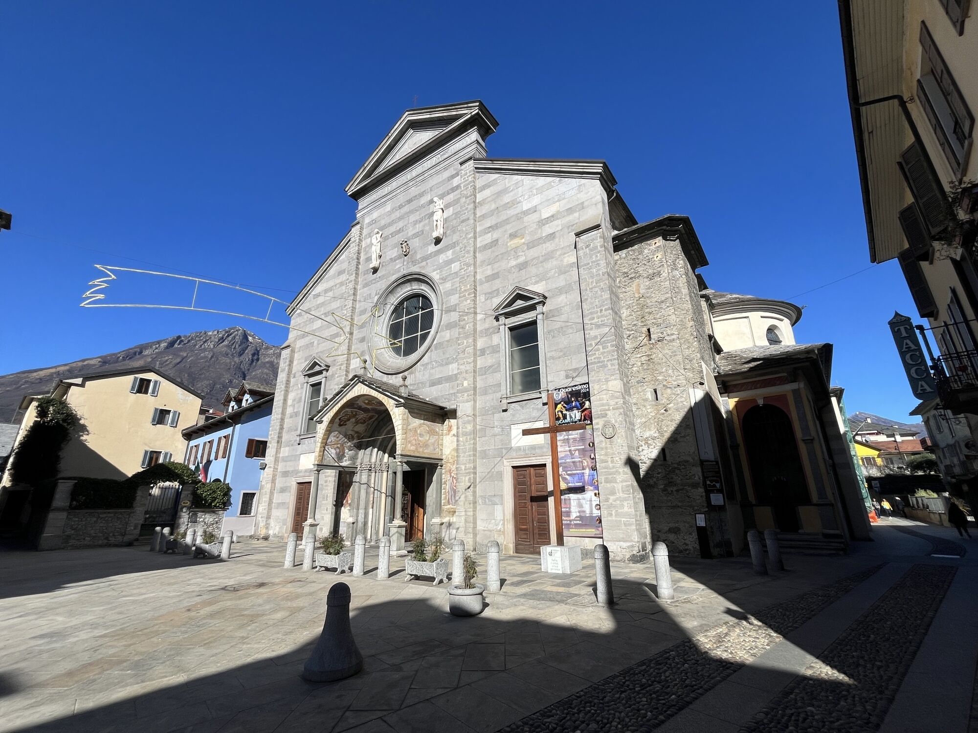
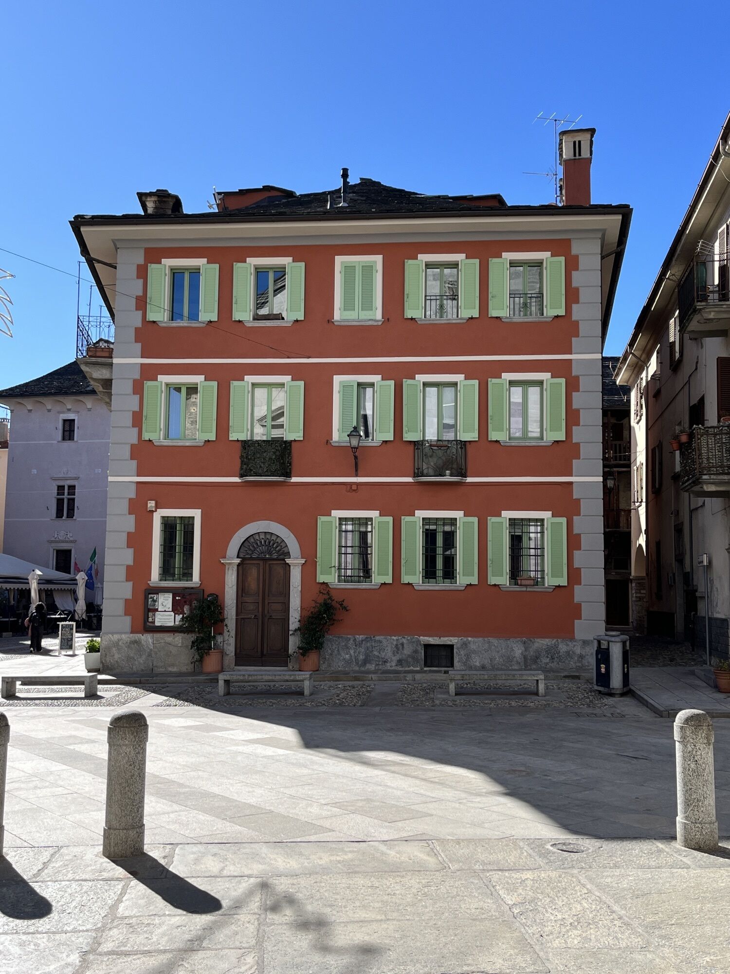
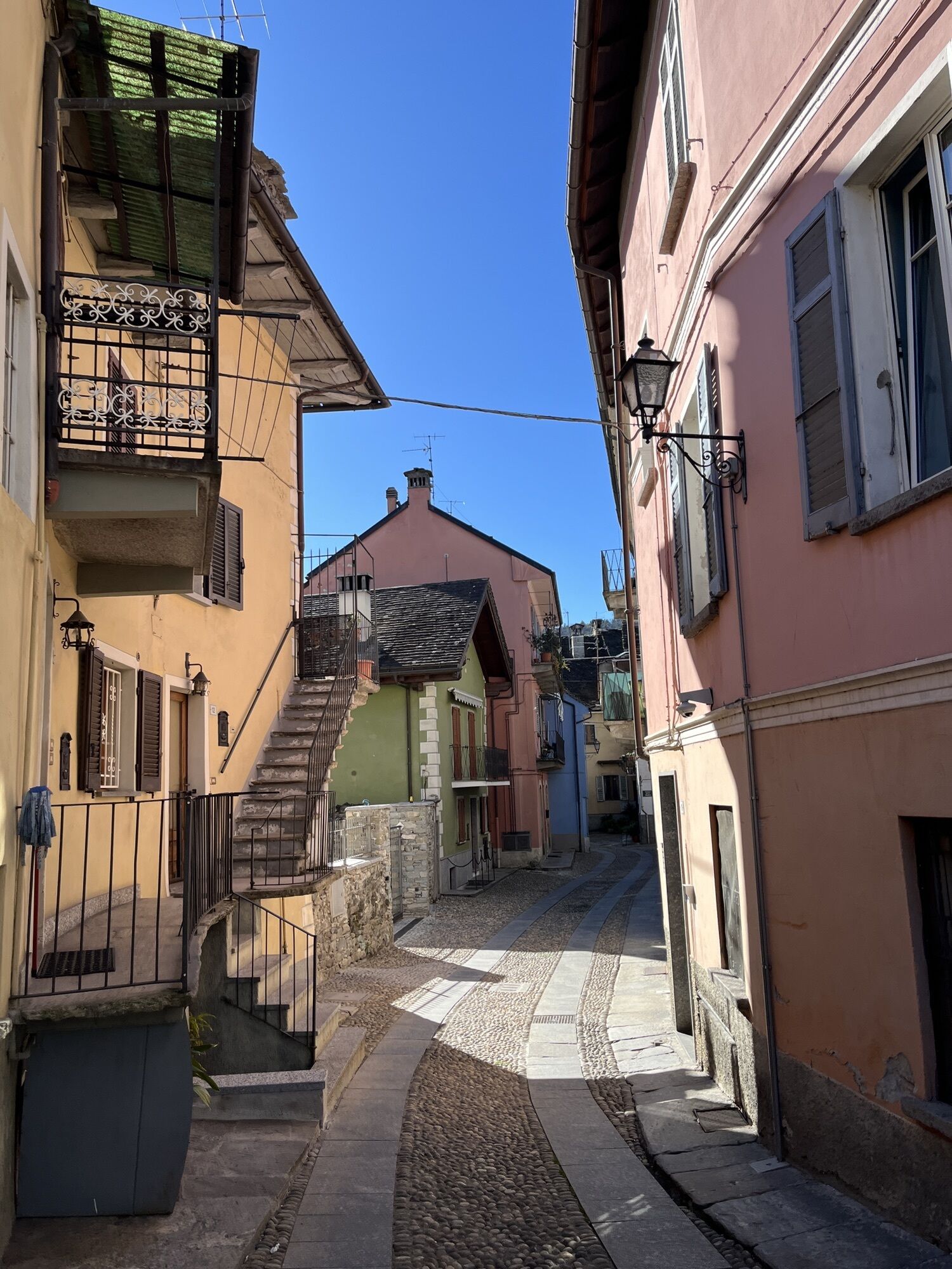
The hike begins in Graniga. Through the small hamlets of the scattered village Bognanco, which today is only a shadow of its former thermal spa town, a descent into the valley follows. Before the bridge,...
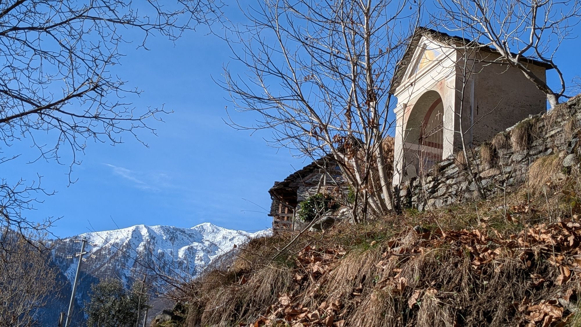
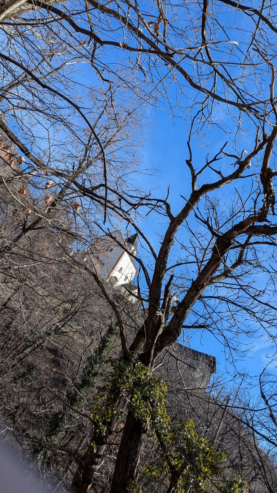
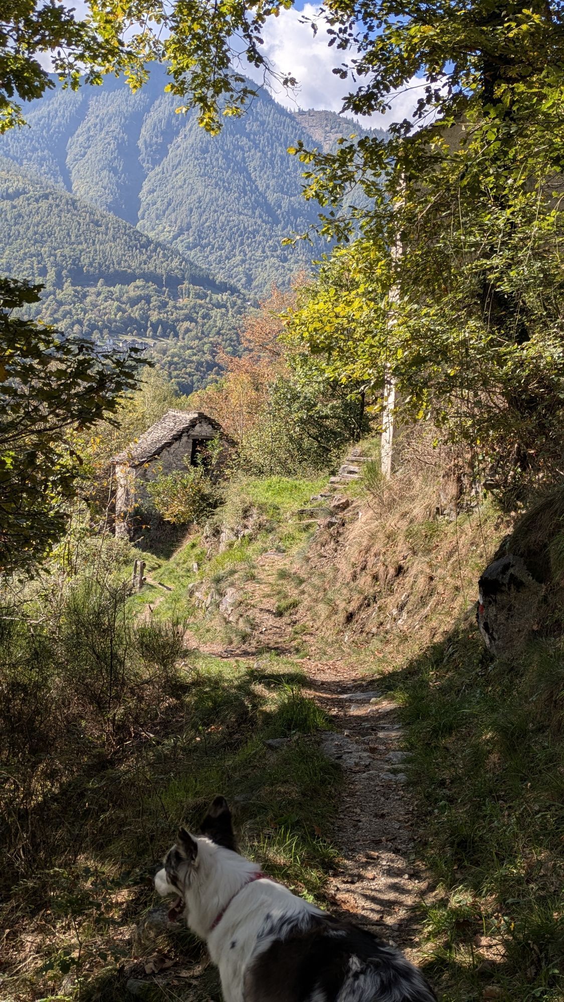
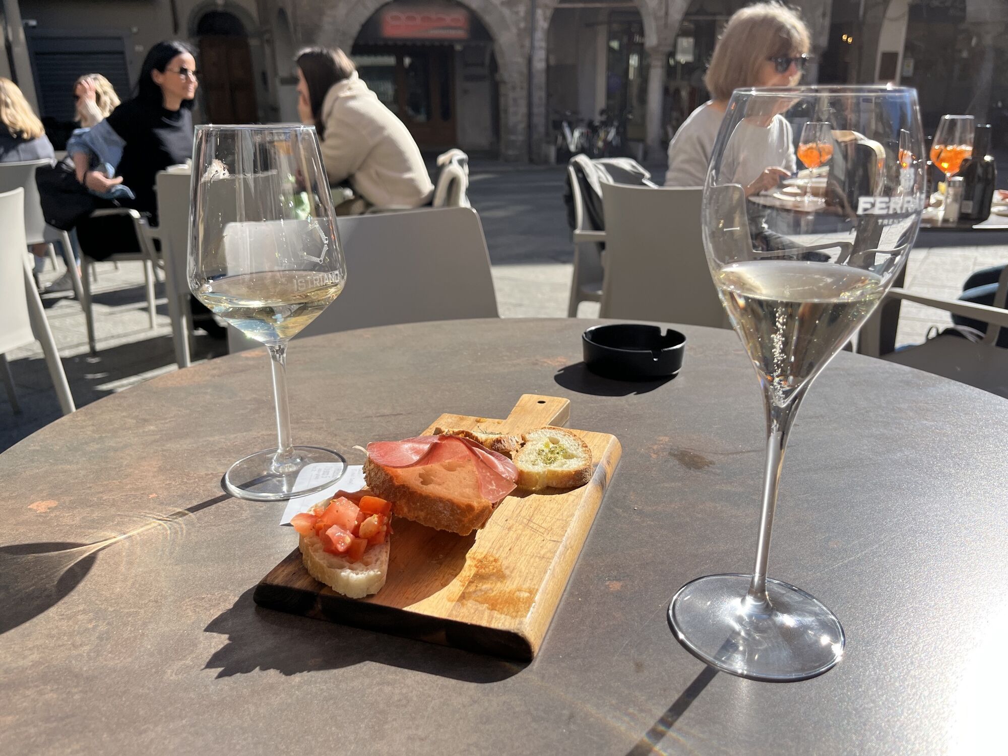
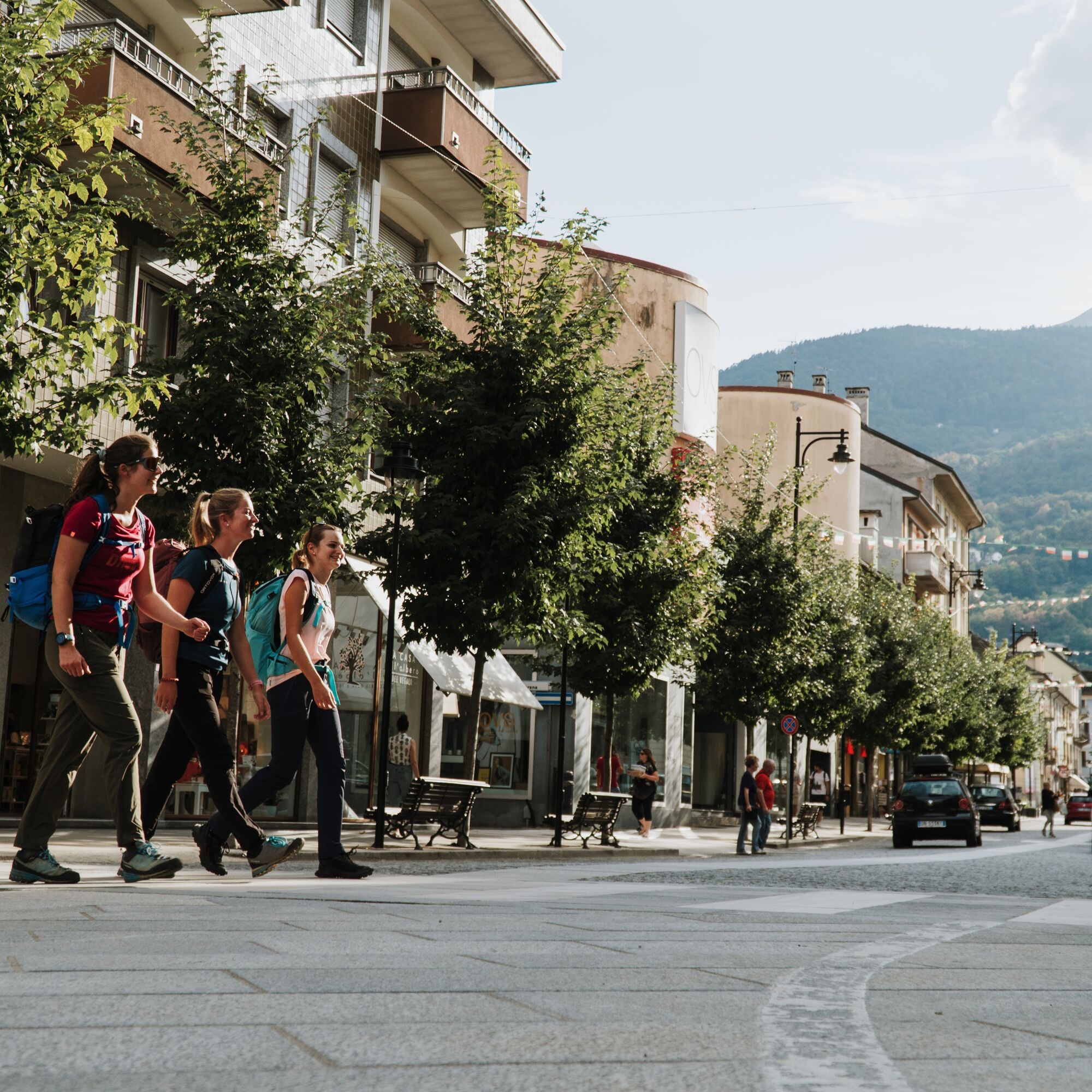
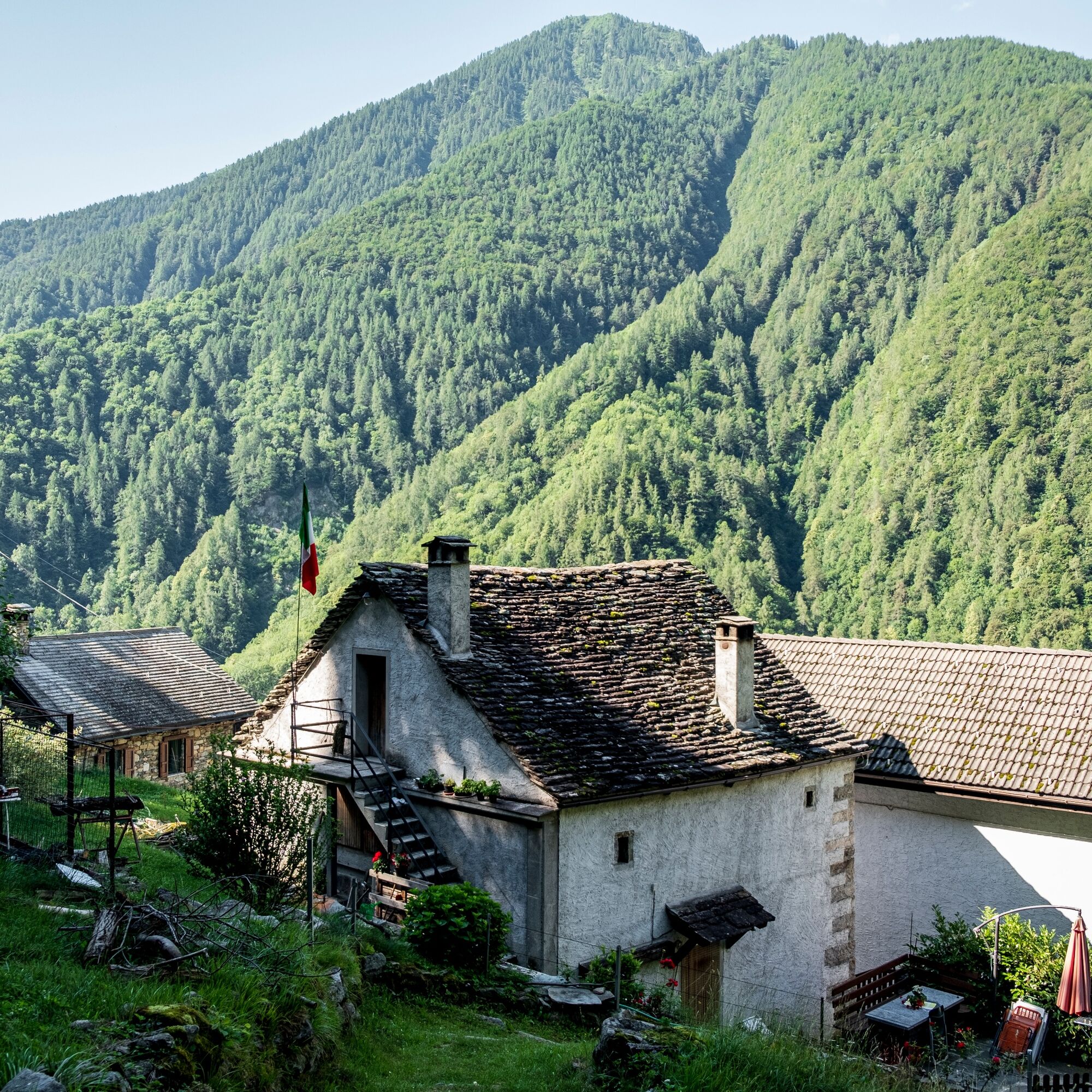
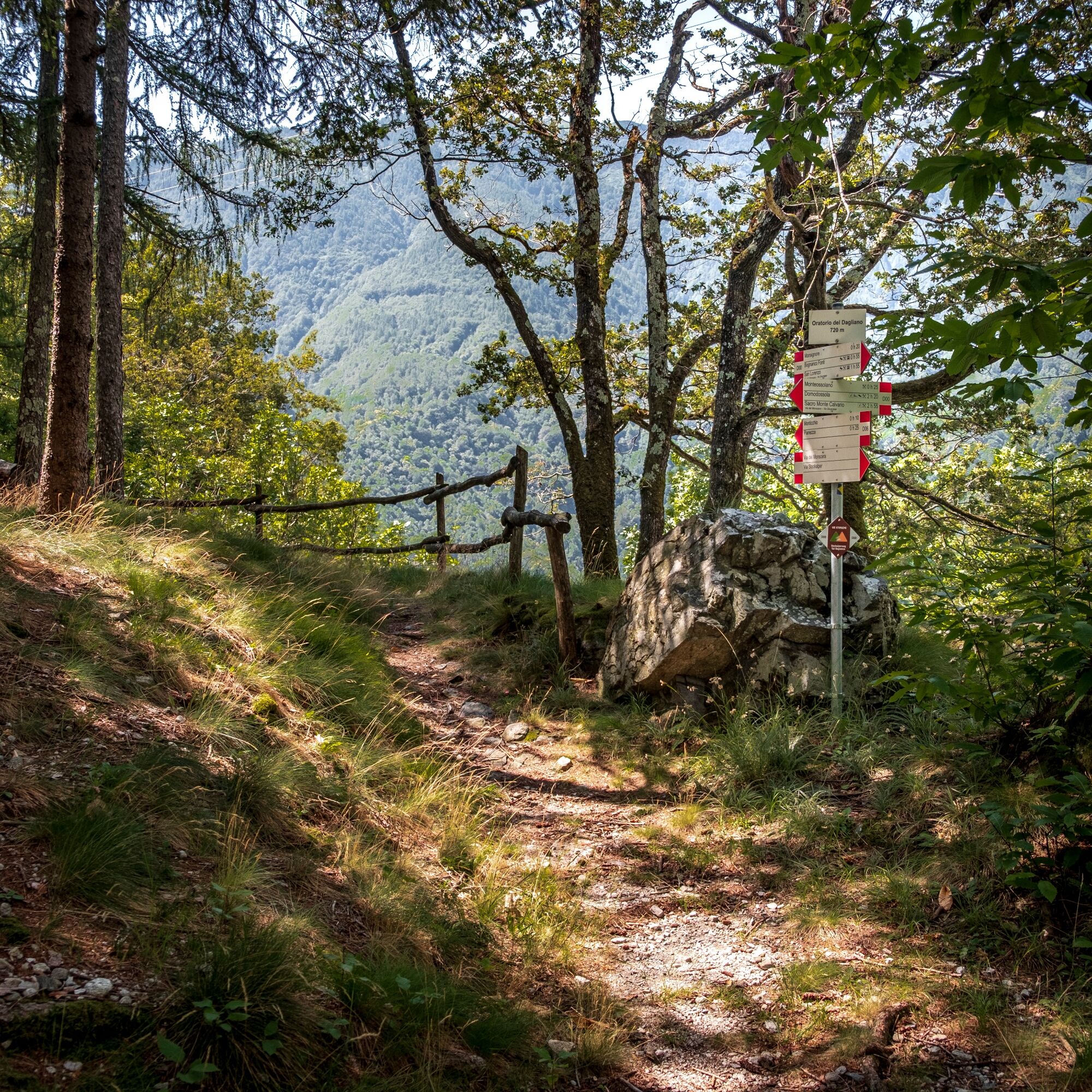
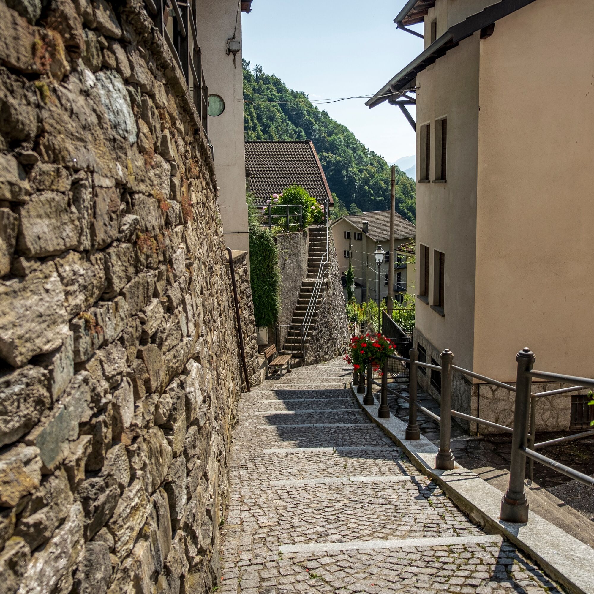
The hike begins in Graniga. Through the small hamlets of the scattered village Bognanco, which today is only a shadow of its former thermal spa town, a descent into the valley follows. Before the bridge, you leave Bognanco Fonti in the valley floor and hike on the left side of the valley towards Domodossola. After a short ascent, the path leads through small gorges and bright forests. Along the way, magnificent churches and typical Italian stone houses with lush flower gardens can be admired. On paved paths through the hamlets Cisore and Mocogna, you reach the gates of the town of Domodossola. On Piazza Mercato, you can toast the hike with a well-deserved drink.
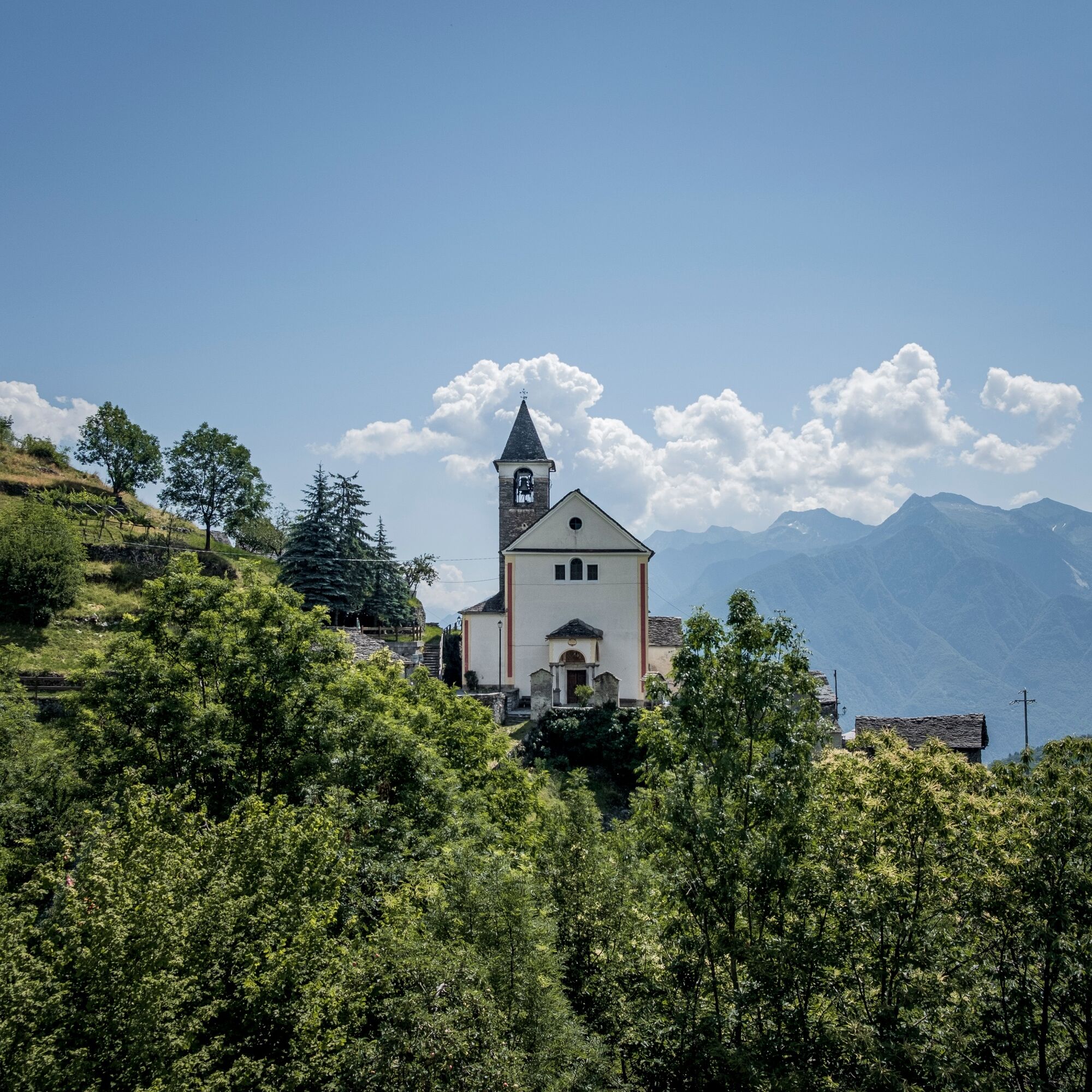

Bognanco - Bognanco Fonti - Monsignore - Monteossolano - Mocogna - Domodossola
Hiking boots
Backpack
Weatherproof and sufficiently warm outdoor clothing,
Head covering
Sunscreen and sunglasses
Water bottle
Snacks
Hiking poles
Hiking map
Navigation device (GPS)
First aid kit
Silk sleeping bag
Spare clothes
The route is completed independently. Experience and independent navigation in high alpine terrain are required.
Users of alpine hiking trails must be sure-footed, free from vertigo, and in very good physical condition as well as proficient in handling rope and ice axe. They must also be able to overcome climbing sections using their hands and be familiar with the dangers in the mountains.
Careful route planning and attention to meteorological conditions are a must. Some sections of the route can only be completed in very good weather conditions.
The weather in the mountains can change quickly. Therefore, take appropriate clothing, enough provisions, and water. Turn back in time if the weather is uncertain.
Inform others about the route and never go alone if possible.
Be considerate of other hikers as well as plants and animals.
Observe warning signs that draw attention to the constant danger in the riverbed and along the banks of watercourses below reservoirs and water catchments.
The Rifugio San Bernardo is 20 km from the small Italian town of Domodossola and is only accessible by car.
Parking spaces available directly at the refuge.
T2
The route can be booked as an individual multi-day hike at a package price.
Learn more
Získajte prehľad
Vždy naživo na mieste s viac ako 9 500 webovými kamerami. bergfex Ako používateľ Pro si teraz môžete pozrieť príslušné webové kamery pre mnohé zájazdy v aplikácii zájazdy z. Môžete si tak priamo prezerať aktuálne podmienky.
Obľúbené výlety v okolí
-
Grande Traversata delle Alpi - GTA: Tratto Nord Piemonte
ťažkéTuristika 181,3 km -
4,6
Alpe Russi - Bait - Alpe Granariol - Alpe Ronco
strednáTuristika 10,3 km -
5,0
Via Geoalpina | Stage 6 Alpe La Colma - Vogogna
strednáTuristika 13,2 km -
Alpe Faievo - Monte Tignolino - Alpe Faievo
strednáTuristika 15,6 km -
Alpine Hut Hike Saas-Fee Domodossola
ťažkéTuristika 59,7 km -
4,0
Mt Mater
ťažkéTuristika 6,98 km -
High alpine pilgrimage route Domodossola - Saas-Fee
ťažkédiaľková pešia trasa 58,2 km -
5,0
Iselle - Rifugio Crosta - Varzo
strednáE-MTB 31,9 km -
Via del Mercato | Stage 1 Masera - Santa Maria Maggiore
strednáTuristika 15,6 km -
4,0
Via dello Sbrinz - Via del Gries | Stage 1 Crevoladossola - Baceno
strednáTuristika 14,9 km
Turistika a stopovanie


Nenechajte si ujsť ponuky a inšpiráciu na ďalšiu dovolenku
Vaša e-mailová adresa bol pridaný do poštového zoznamu.





