







Manfre Path

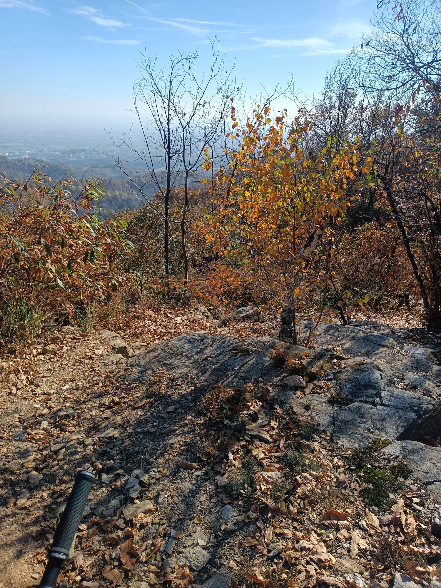
The path is called "Manfre" in memory of Claudio Manfredi (a runner from the Atletica Valpellice club who died prematurely), a great lover of mountain running. The circular route winds along the paths...
The path is called "Manfre" in memory of Claudio Manfredi (a runner from the Atletica Valpellice club who died prematurely), a great lover of mountain running. The circular route winds along the paths and woodland tracks usually used by Claudio and his runner friends for training. It is located entirely in the municipality of Bricherasio, and reaches Piani on the border with the municipality of Prarostino. It starts from the square in front of the parish church of San Michele (Frazione San Michele), runs along the gully and climbs towards the "sentiero delle 5 vie” (5-way path) to reach Piani. The descent towards the hamlet of Cuccia begins and leads back to the gully, where the previous path leads back to San Michele.


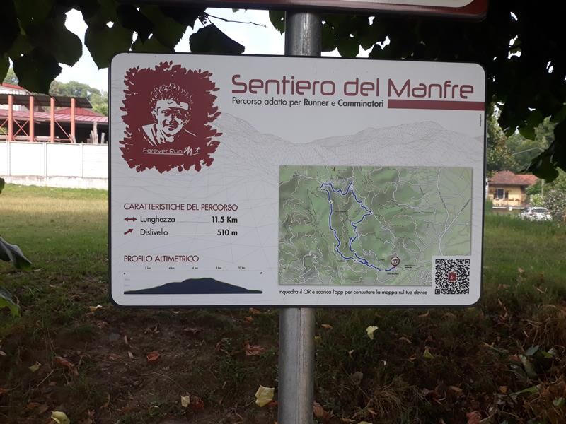
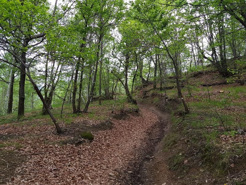
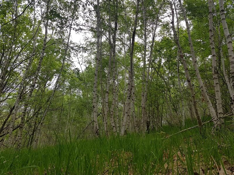
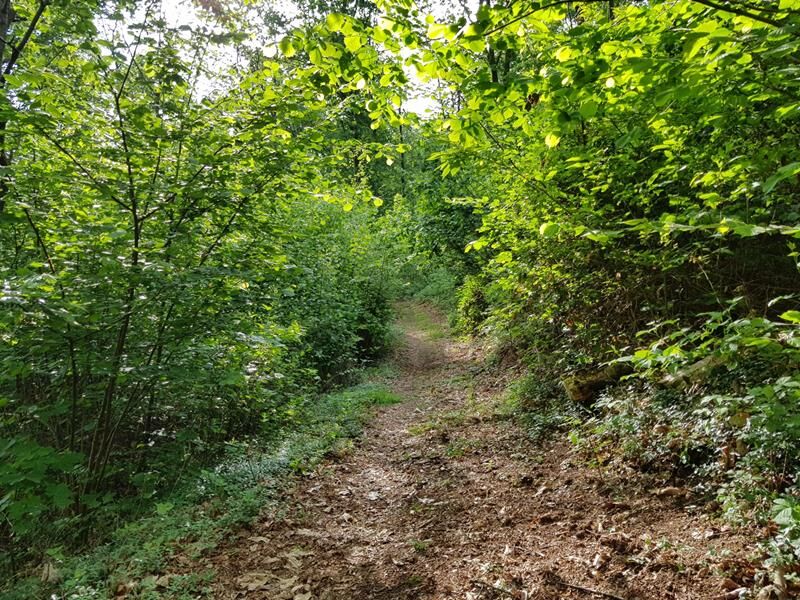

Appropriate clothing and equipment recommended.
Direction of travel: Counterclockwise - Cyclability:
Obľúbené výlety v okolí
-
5,0
Invincibles valley - Alpe Caugis
Turistika 15,3 km -
BRICHERASIO The Via della Pietra
svetloDiaľková cyklotrasa 11,5 km -
TORRE PELLICE Naturalistic trail "The Jay"
svetloTuristika 10,2 km -
PRAROSTINO From Piani to Sonagliette and back - SLOWLY TOGETHER
svetloTuristika 6,60 km -
BOBBIO PELICE Trekking in the hamlets and forests around Bobbio
strednáTuristika 7,72 km -
PINEROLO Route to Monte Muretto
strednáTuristika 2,12 km -
TORRE PELLICE The Shepherds' Way
svetloMountainbike 11,0 km -
VILLAR PELLICE Inverso path
svetloTuristika 5,62 km -
BOBBIO PELLICE Trail of the Invincibles
strednáTuristika 19,1 km -
TORRE PELLICE Hike to Bars d'la tajola (and Monte Castlus)
strednáTuristika 4,40 km
Turistika a stopovanie


Nenechajte si ujsť ponuky a inšpiráciu na ďalšiu dovolenku
Vaša e-mailová adresa bol pridaný do poštového zoznamu.





