


VILLAR PELLICE Comba - Pertusel loop


Until the 1960s, it was mainly used by those cultivating potatoes, rye, and especially vines on the terraced slopes. The toponymy also refers to this cultivation: along the route, you encounter a locality...
Until the 1960s, it was mainly used by those cultivating potatoes, rye, and especially vines on the terraced slopes. The toponymy also refers to this cultivation: along the route, you encounter a locality called "tinage," a name likely derived from the word "tino." Today, these crops no longer exist and have been replaced by spontaneous vegetation (chestnuts, birches, oaks).
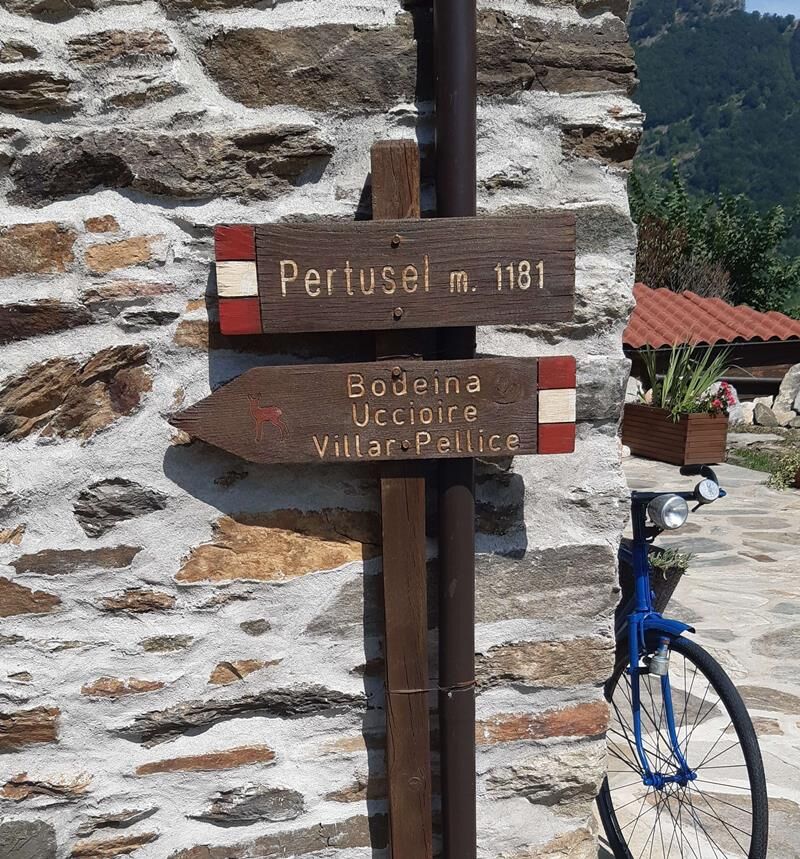
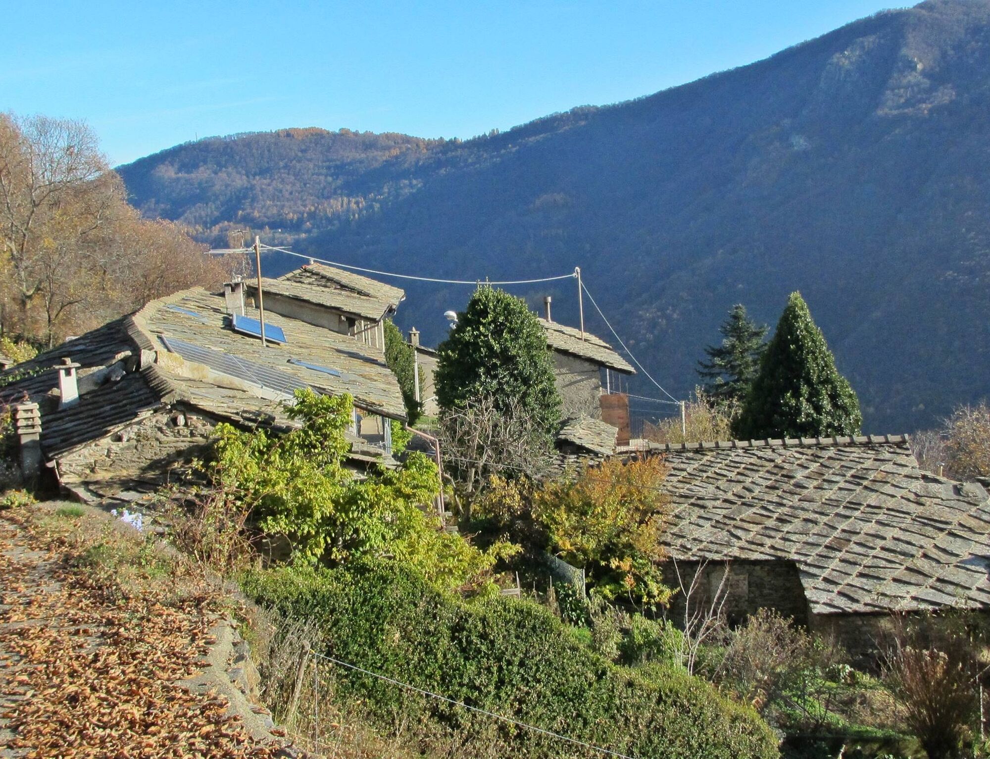
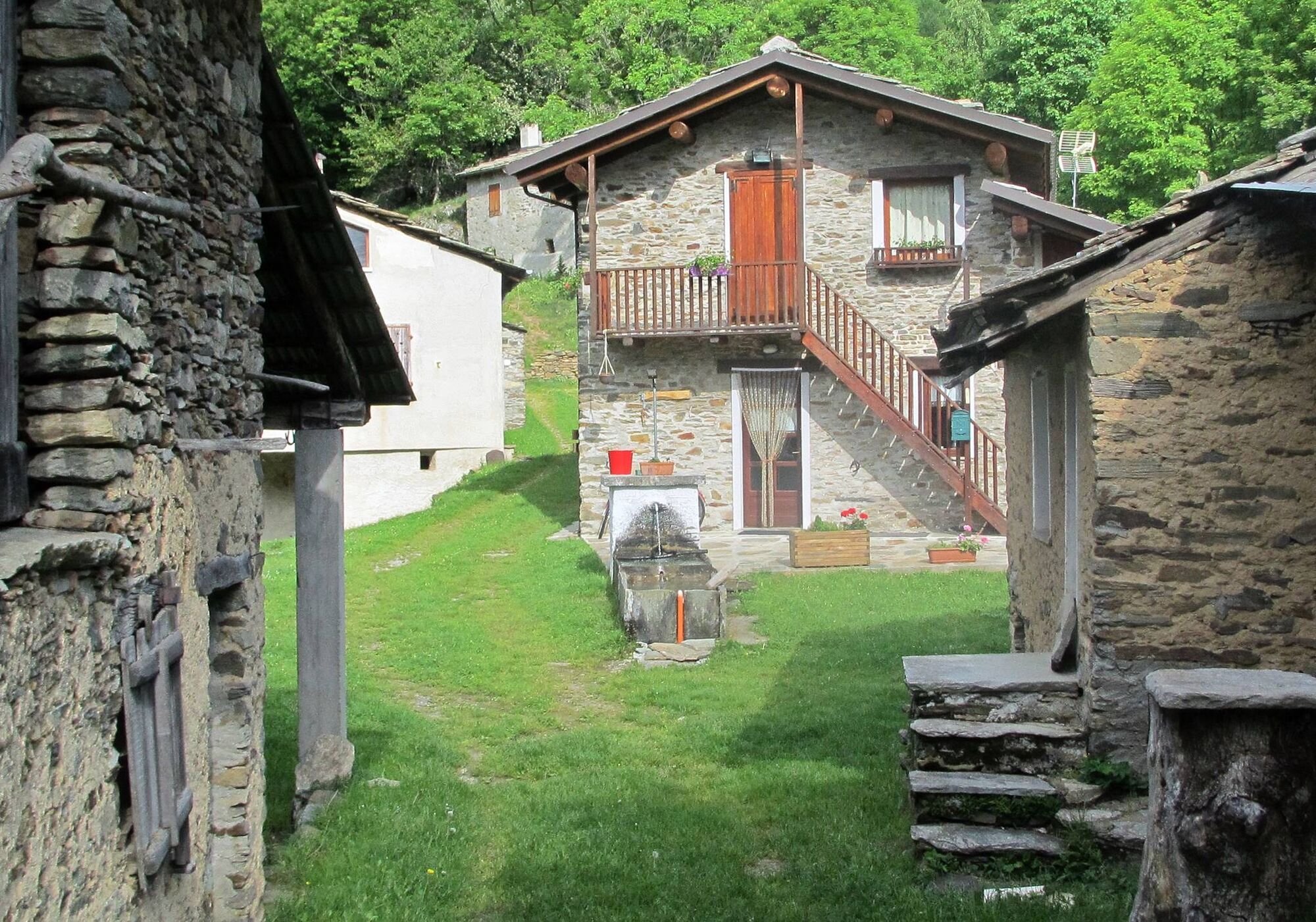
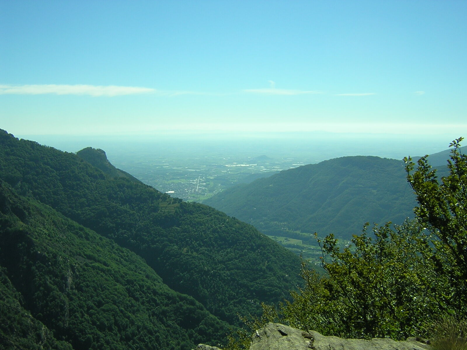
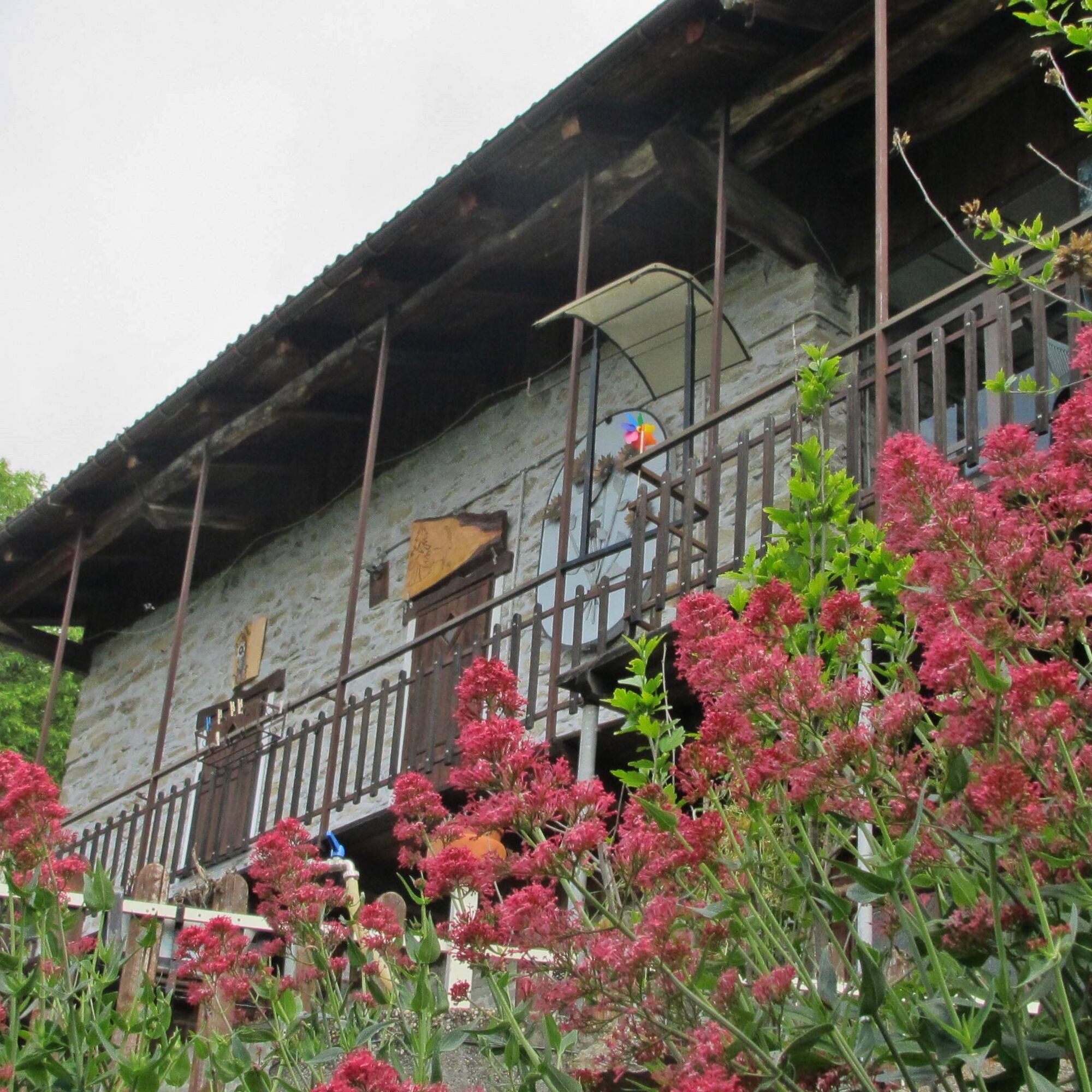
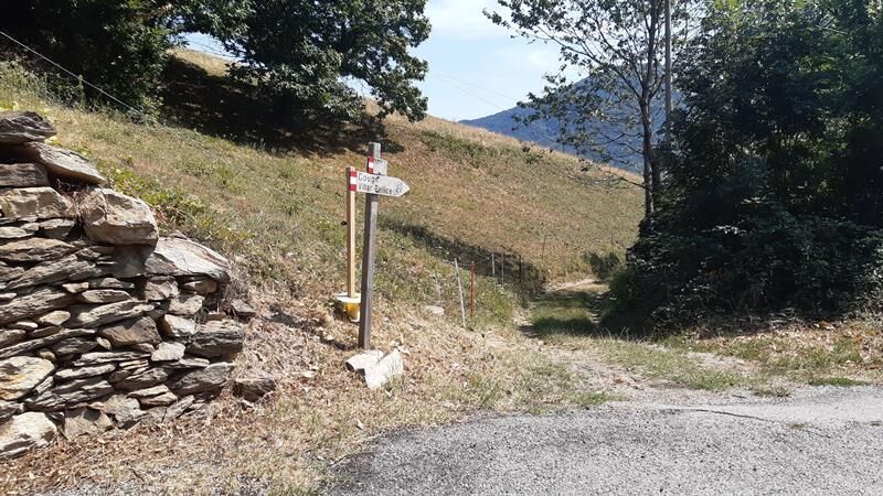
The route starts west of the municipal cemetery, following the mule track that ascends with some hairpin bends to loc. Courbira, overlooking the Rospart valley. Then the path turns left, reaching loc. Cougn, a still fairly preserved hamlet. The trail continues climbing until it meets the paved road near the Cuccuruc hamlet (950 m). It proceeds along the road to the Comba hamlet, from where the path resumes with switchbacks and diagonals to Pertusel (1,181 m), a hamlet in a splendid position with panoramic views of the wild opposite Rospart valley, upper Val Pellice, and the plain.
For the return, it is advisable to follow the carriage road descending towards the valley floor and, after passing the hamlets of Bodeina and Uccioire (870 m), take a fork ascending briefly to the Mottero hamlet, up to the next hairpin bend, where a flat mule track leads to the Cougn hamlet, from which you return to Villar Pellice.


Áno
Appropriate clothing and equipment are recommended.
Reaching Villar Pellice is easy by following the A55 towards Pinerolo for those coming from Turin. Near Pinerolo, follow signs for Val Pellice and then Villar Pellice.
By bus
www.cavourese.it
Free public parking is available at the starting point.
Before starting any hike, it is recommended to check weather bulletins or ask for information at local Tourist Offices.
It is good practice not to hike alone and always inform someone of your destination.
Do not litter but carry your waste with you, collecting any left by others if possible.
The indicated times are approximate and may vary depending on weather conditions and individual abilities.
The trail is marked with white/red signs and arrows featuring the logo of a chamois.
Obľúbené výlety v okolí
-
5,0
BOBBIO PELLICE Upslowtour - Ring 2 of the refuges
ťažkéCyklistika 37,6 km -
The Fort Roads - stage 11 from Massello to Prali
ťažkéPútnická trasa 13,7 km -
PRALI Rocca Bianca Loop
ťažkéMountainbike 17,9 km -
TORRE PELLICE Hike to Bars d'la tajola (and Monte Castlus)
strednáTuristika 4,40 km -
VILLAR PELLICE Inverso path
svetloTuristika 5,62 km -
PRAROSTINO From Piani to Sonagliette and back - SLOWLY TOGETHER
svetloTuristika 6,60 km -
PERRERO The Lakes of Conca Cialancia
ťažkéMountainbike 21,6 km -
LUSERNA S.G. Upslowtour - Luserna Stone Loop 9
strednáCyklistika 38,1 km -
PRALI Thirteen Lakes - Colle Giulian - Villanova
strednáMountainbike 19,0 km -
BOBBIO PELLICE Trail of the Invincibles
strednáTuristika 19,1 km
Turistika a stopovanie


Nenechajte si ujsť ponuky a inšpiráciu na ďalšiu dovolenku
Vaša e-mailová adresa bol pridaný do poštového zoznamu.