







The Fort Roads - stage 11 from Massello to Prali
Prali is worth a thorough visit: the Waldensian Museum, Scopriminiera and Scoprialpi, which, with over 4 km of fitted and equipped galleries accessible also by a small train, have created two unique international-level...
Partial times of passage: Massello – Salza di Pinerolo 30min / Salza-Colletto Fontane 1h / Colletto Fontane-Rocca Galmount 2h 15min / Rocca Galmount-Prali 1h 15min
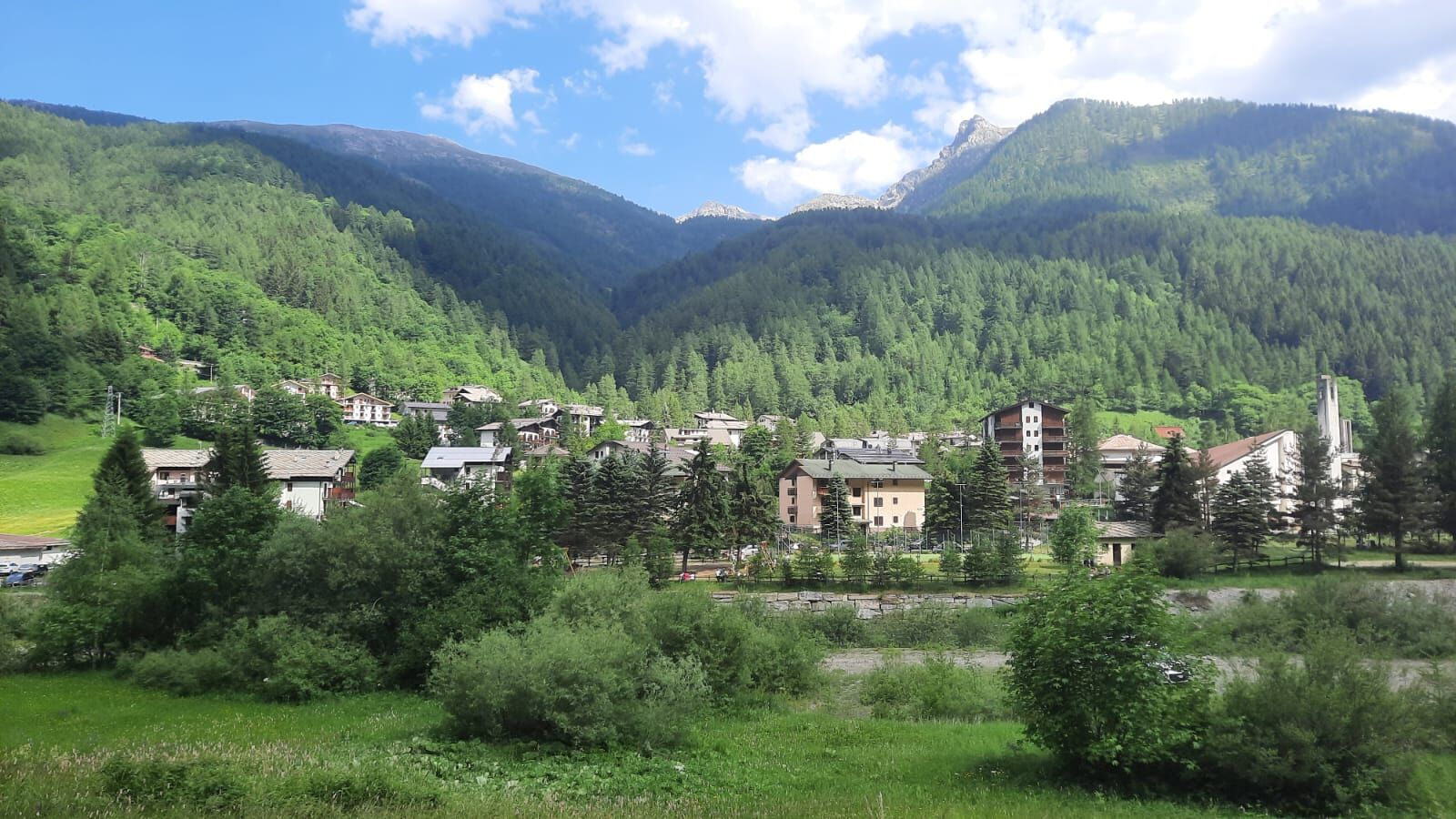
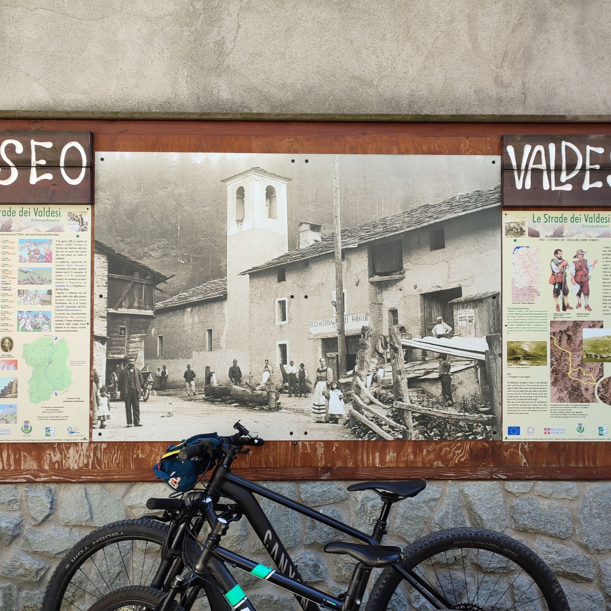
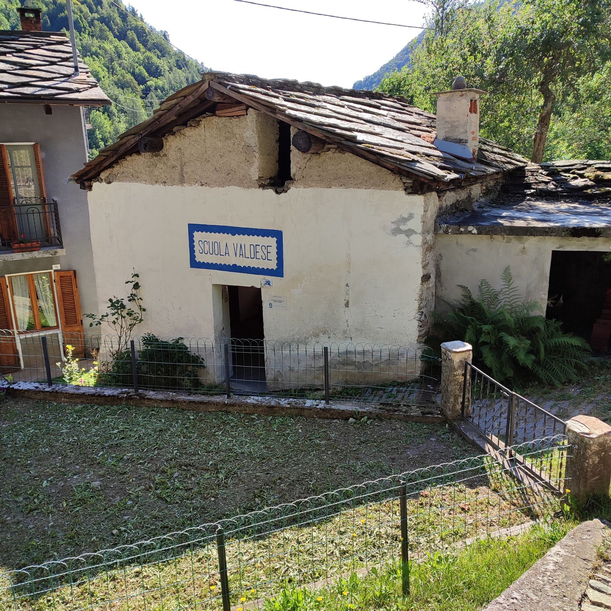
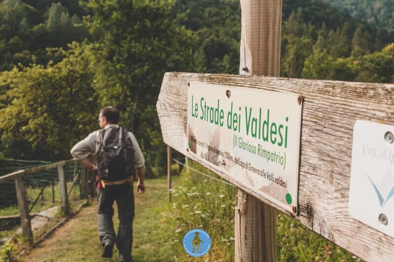
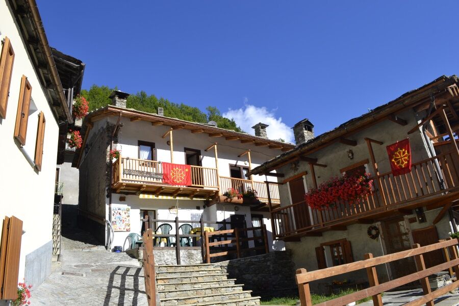
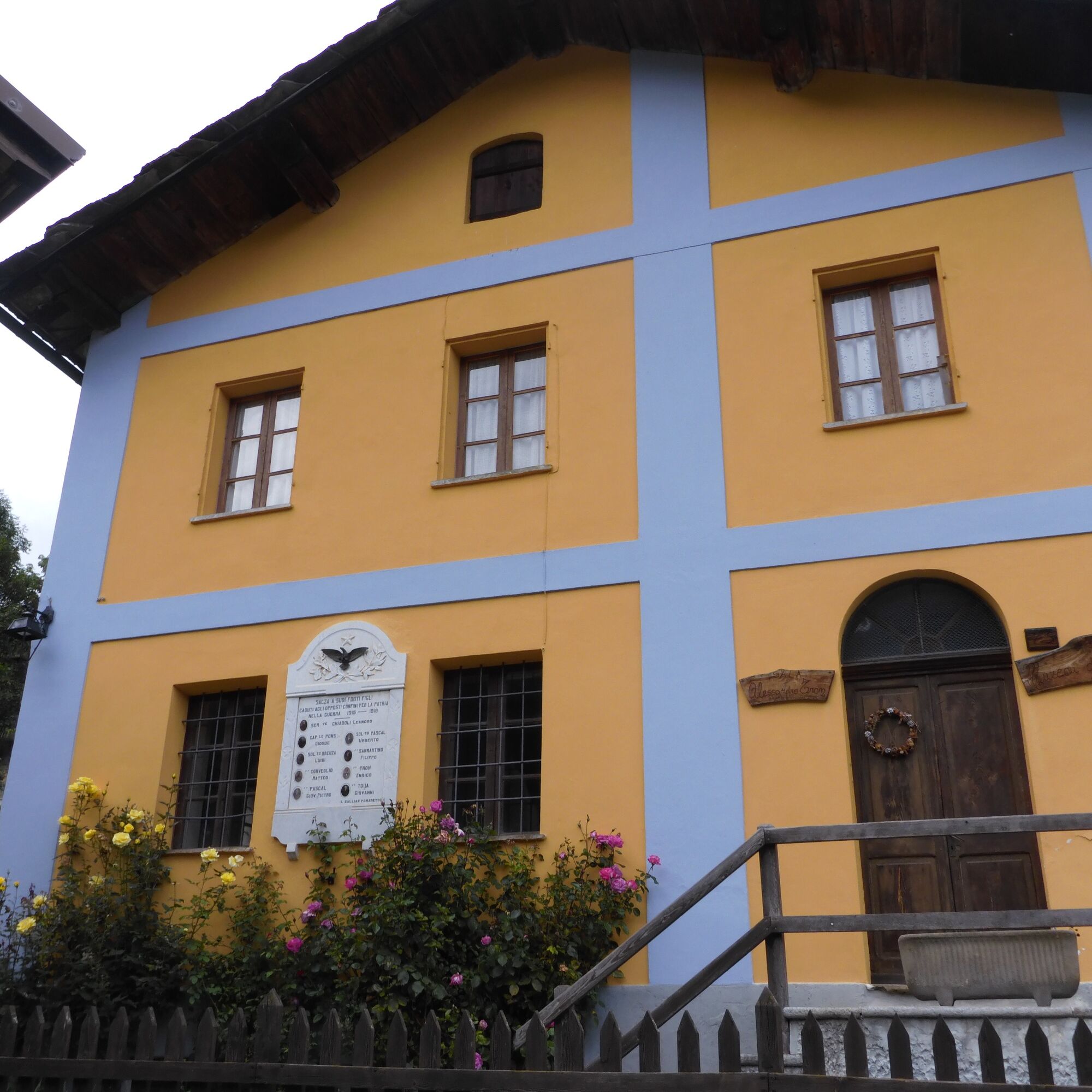
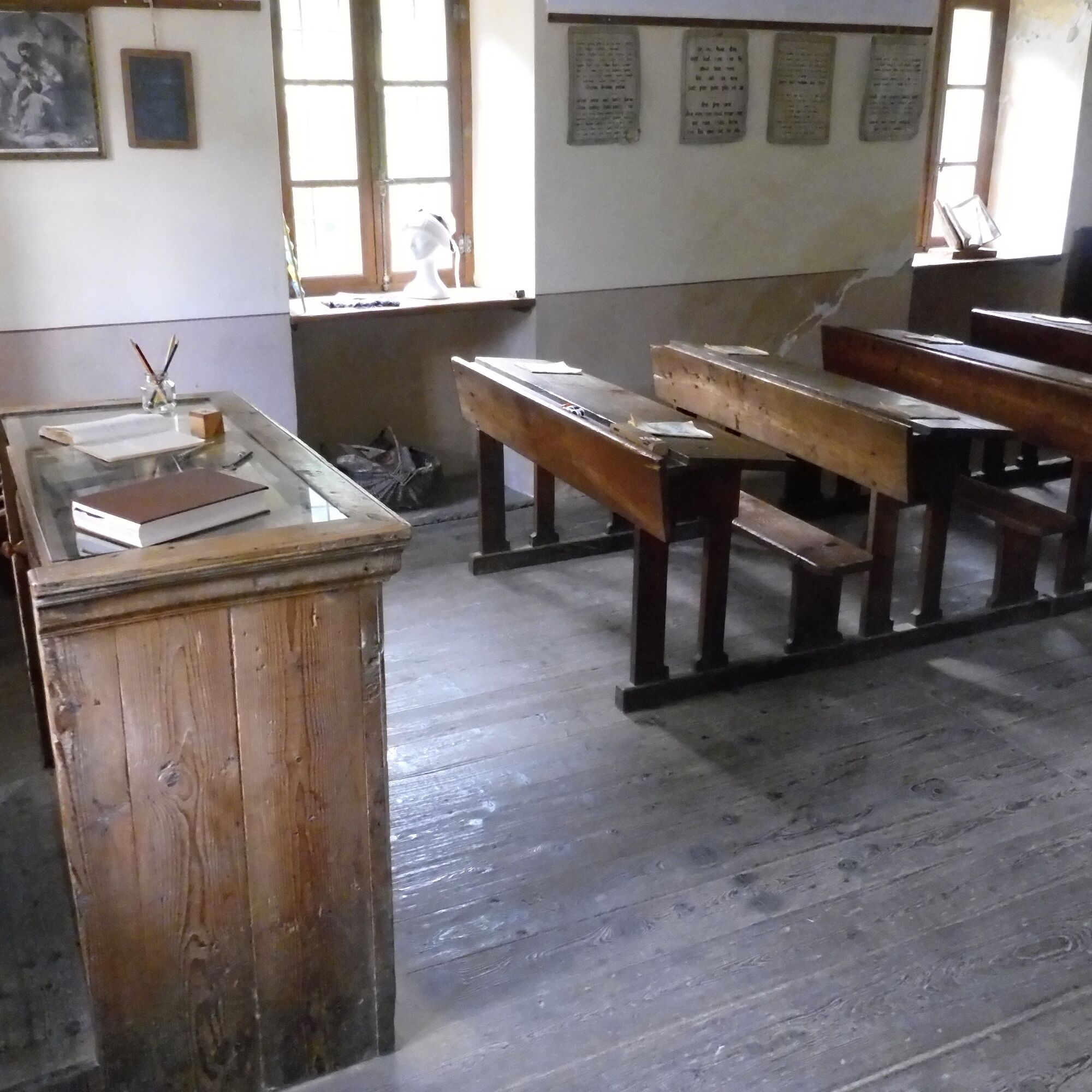
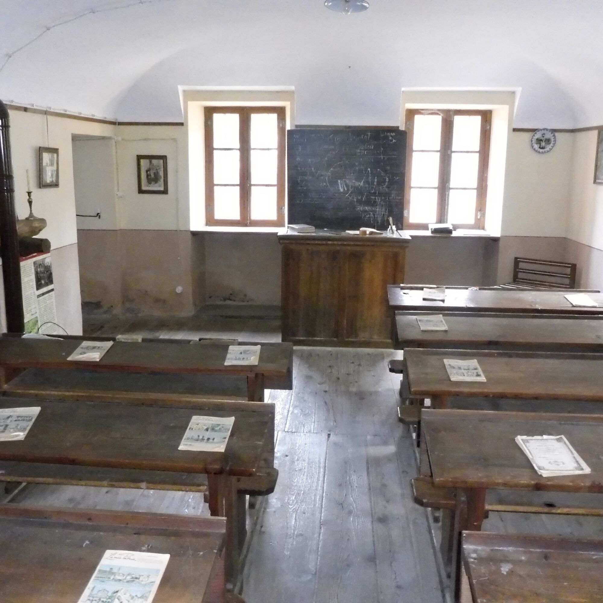
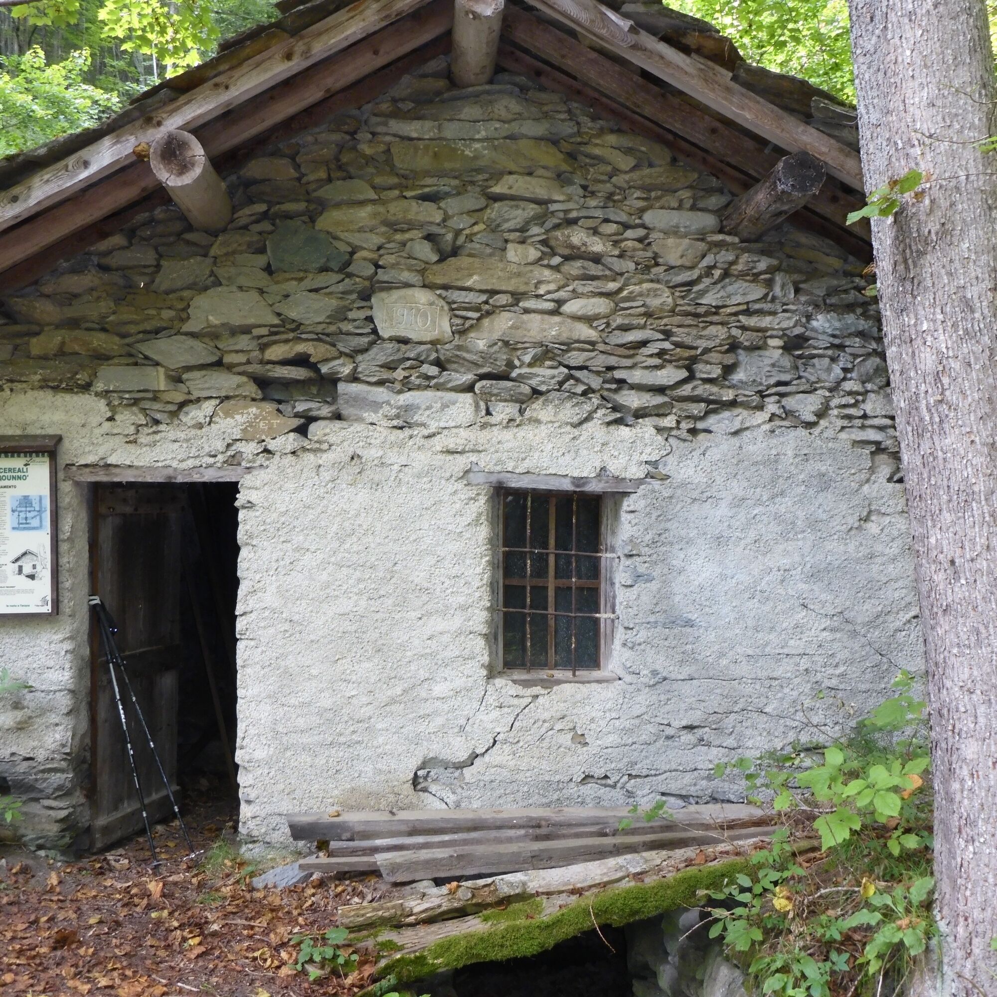

The path ends on the asphalt road leading to Salza di Pinerolo where you can find: the La Miando farmstay, which is also a GTA stop point and offers shuttle service from Balsiglia to Salza at the arrival of the previous stage, and the Trattoria Didier da Marianna. After the bridge there are signs for the Salsin Museum in the Didiero village. The building that houses the museum was built in the 1800s as a Waldensian school and then became the Municipal seat and later also a Waldensian place of worship. The museum was created by the will of the inhabitants to recover the building and give it new life.
The itinerary continues after the bridge, where you can find signs for several trails. Here turn left and take a dirt road uphill towards Colletto delle Fontane. This stretch has some steep climbs and then continues more steadily. You can follow the dirt road or take shortcuts along the route.
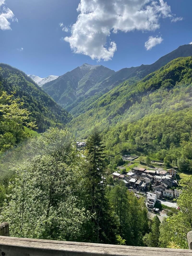
At the colletto you can enjoy a beautiful panoramic viewpoint of Val Germanasca and picnic tables for resting. From here passes the Camminabosco route, a forest managed according to international sustainability criteria. Continuing along the trail in the woods, after about twenty minutes you reach Colle di Serrevecchio. Here you also find tables and a fountain. A little higher than the pass there is another viewpoint.
Then take the descending trail towards Rodoretto and Ghigo di Prali. After a stretch in the woods you arrive at Serrevecchio: a small and beautiful Occitan village. Then continue crossing the village and following signs for Rodoretto and Prali. Leaving the village the path goes through meadows and then becomes clearly visible again until Rodoretto. In Rodoretto you can visit the Rodoretto Museum.
On the asphalt road there is a sign with directions to Prali and, exiting the village, take a dirt road uphill on the left. You can follow the dirt road or cut the bends by taking the white-red marked trail. If you take the trail you reach Galmount, a pass from which you can see the rock on which a stronghold once stood, of which now remains only a good panoramic viewpoint over Upper Val Germanasca.
Since Galmount is frequented by grazing animals, the posts with trail signs may no longer be standing. However, this is a short stretch. Upon arrival at Galmount pass turn right and continue along the ridge for about a hundred meters until you find a watering trough. Here the trail joins the road coming from Rodoretto. Then follow the trail to the left towards Ghigo di Prali. The trail at some point merges onto a road that leads to SP 169 up to the Ghigo bridge. In Prali it is possible to visit the Waldensian Museum.
Áno
Wear clothing and footwear appropriate to the environment and season
Water points: several possibilities of supplies along the walk as you pass through many villages on the route.
For those coming from Turin, take the A55 towards Pinerolo. After Pinerolo, take the SP23 towards Sestriere and continue to Perosa Argentina. Turn left in the town center towards the Salza and Massello Valleys and continue on SP 169 until you pass through the village of Perrero. Cross the bridge on the provincial road and immediately after, turn right onto SP 170 towards Salza di Pinerolo and Massello.
Before undertaking any excursion, it is advisable to consult weather bulletins or ask for information at local Tourist Offices.
It is good practice not to undertake an excursion alone and always inform someone of your destination.
Do not litter in the environment but take waste with you, possibly also collecting that left by others.
The reported travel times are indicative and may vary depending on weather conditions and your own abilities.
For a break in Val Germanasca, before continuing the route, we recommend a visit to the Ecomuseum of the Mines and the Germanasca Valley.

Obľúbené výlety v okolí
-
5,0
SESTRIERE Monte Rognosa
ťažkéTuristika 6,42 km -
5,0
Invincibles valley - Alpe Caugis
Turistika 15,3 km -
SAUZE DI CESANA Valle Argentera
strednáMountainbike 30,7 km -
PRAGELATO The winter charm of the Val Troncea Natural Park
svetloSnežnice 4,62 km -
BOBBIO PELICE Trekking in the hamlets and forests around Bobbio
strednáTuristika 7,72 km -
PRAGELATO Lake Laux
svetloMountainbike 21,2 km -
FENESTRELLE MTB to Selleries Refuge
strednáCyklistika 16,0 km -
PRAGELATO Val Troncea: the valley of flowers
strednáTuristika 8,36 km -
BOBBIO PELLICE Trail of the Invincibles
strednáTuristika 19,1 km -
TORRE PELLICE Hike to Bars d'la tajola (and Monte Castlus)
strednáTuristika 4,40 km
Turistika a stopovanie


Nenechajte si ujsť ponuky a inšpiráciu na ďalšiu dovolenku
Vaša e-mailová adresa bol pridaný do poštového zoznamu.





