


Vermenagna Ring | Stage 1 Roccavione - Vernante
Fotografie našich používateľov
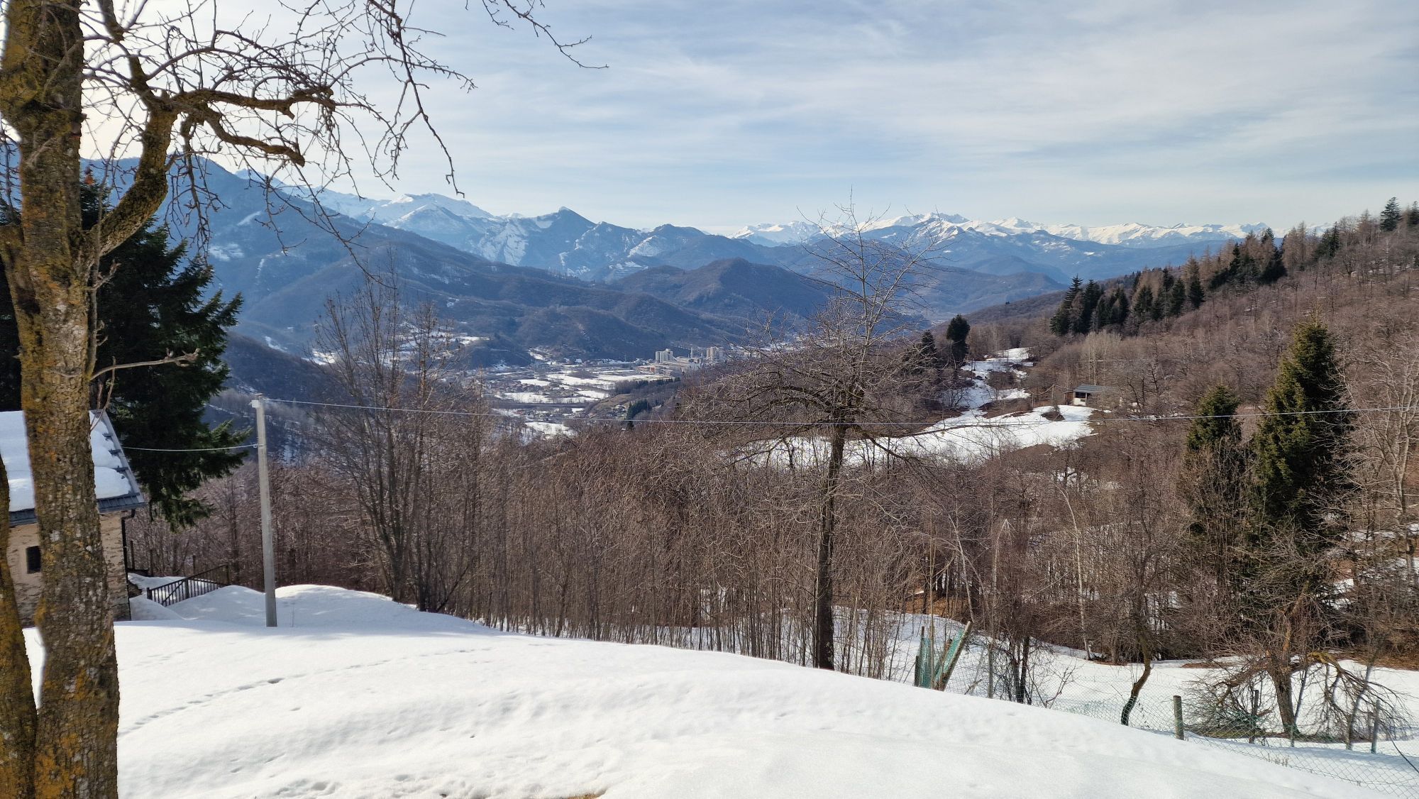
The first part of the route follows the old communal road that connected Roccavione with Robilante, skirting the sunny side of the valley. When you reach Tetto Sales, you leave the flat paved road to climb...
The first part of the route follows the old communal road that connected Roccavione with Robilante, skirting the sunny side of the valley. When you reach Tetto Sales, you leave the flat paved road to climb pleasantly through chestnut groves until you reach the watershed ridge between the Vermenagna and Colla Valleys. The trail touches in succession 7 votive pillars characterized by different histories and rich in local culture.
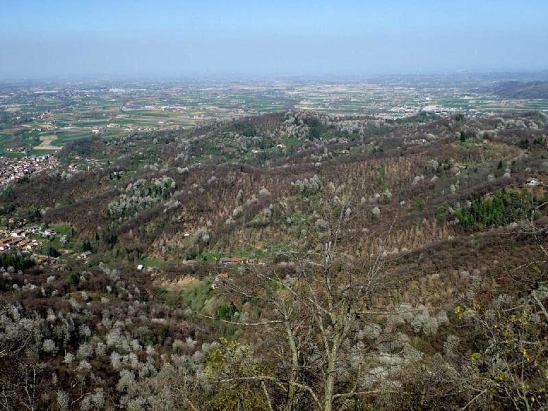
Numerous hiking alternatives connect to the high-altitude trail, providing much plasticity to the itinerary and offering easy connections with the valley floors. After about 7 km you reach Colletto del Moro and the country church in Loc. Malandrè in Robilante. With an evocative half-hill route, you cross the entire Robilante territory at altitude, among meadows, chestnut groves, hamlets and enchanting beech forests.
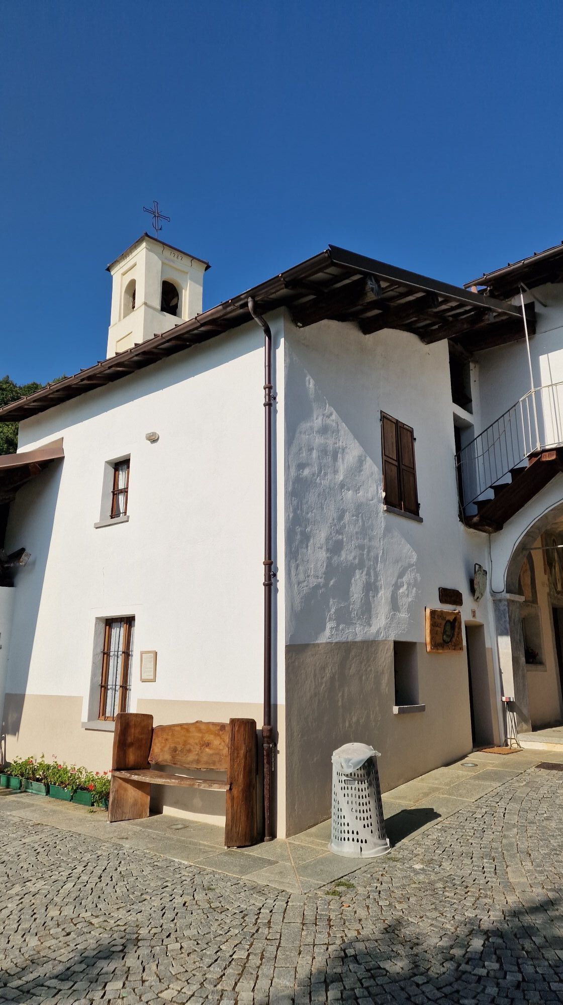
After about 14 km you arrive in the Vallone San Giovanni di Vernante until you reach Tetto Croce. From this point the route of the Vermenagna Ring continues at high altitude, in the direction of the Ceresole Pass, but for those who intend to stop in Vernante, it is necessary to take the descent towards the ruins of the Turusela Castle until reaching the town.

Obľúbené výlety v okolí
-
Giro del Marguareis tapa 4 variante
strednáTuristika 14,5 km -
anello s giacu
Turistika 17,1 km -
Roccasparvera - Cuneo / Pagarine Route (stage 10)
strednáTuristika 15,9 km -
San Giacomo di Entracque - Valdieri / Pagarine route (stage 8)
strednáTuristika 19,6 km -
Tour of Marguareis Stage 1 | Pian delle Gorre - Garelli refuge
strednáTuristika 7,34 km -
Traversata scialpinistica delle Alpi Liguri. Terza tappa.
ťažkéSkitour 19,6 km -
Piemonte without cars | Vernante-Limone Piemonte
ťažkédiaľková pešia trasa 29,6 km -
Tour of Marguareis | Stage 5 Don Barbera refuge - Pian delle Gorre
strednáTuristika 17,9 km -
Vernante - Boves / Route royale (stage 8)
Turistika 19,0 km -
Limonetto - Vernante / Route royale (stage 7)
Turistika 19,1 km

Turistika a stopovanie


Nenechajte si ujsť ponuky a inšpiráciu na ďalšiu dovolenku
Vaša e-mailová adresa bol pridaný do poštového zoznamu.