





The active mountain biker’s dream, Liperi’s Kinttupolut
Úroveň náročnosti: S2
Mountain bike the best parts of Liperi’s versatile Kinttupolut. This 63-kilometer route has as much as 30 kilometers of narrow single track and more than 1200 meters of ascent! The route culminates at...
Mountain bike the best parts of Liperi’s versatile Kinttupolut. This 63-kilometer route has as much as 30 kilometers of narrow single track and more than 1200 meters of ascent! The route culminates at the top of the Pärnä Bike Park, where you can choose a downhill bike route suitable for you from easy to demanding.
Liperi’s Kinttupolut include eight trails marked in different colors on the terrain, from which this route is composed. You can find the Kinttupolut route map here. Along the route you will find several drinking points, lean-tos and campfire sites, as well as restaurants where it is good to take a break! The starting point is the Pärnävaara Sports Center, which has washing facilities and toilets.
The first 43 km are mostly easy or moderately difficult, and the last 20 km are moderately difficult or demanding to ride.
Also check other Joensuu region’s uniformly marked trails, which form a total route network of about 200 km. You can easily spend several riding days on the Joensuu region trails.

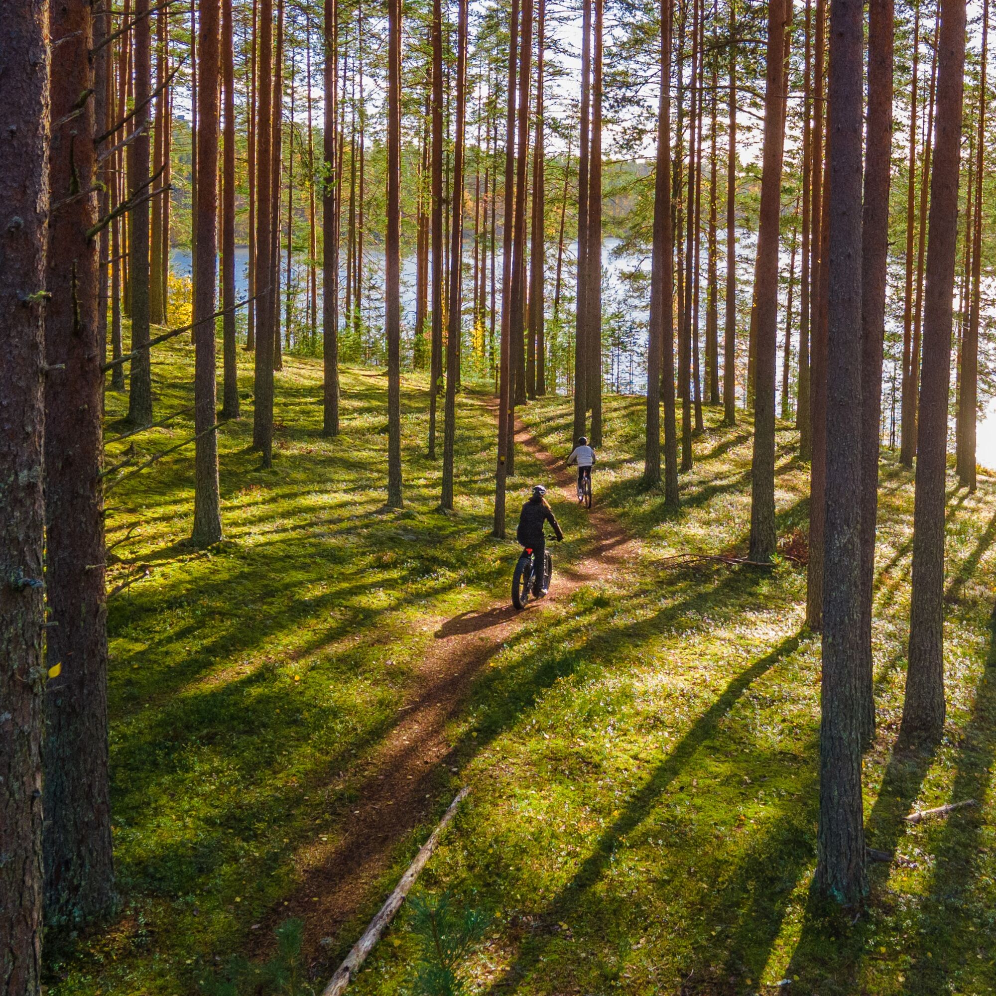
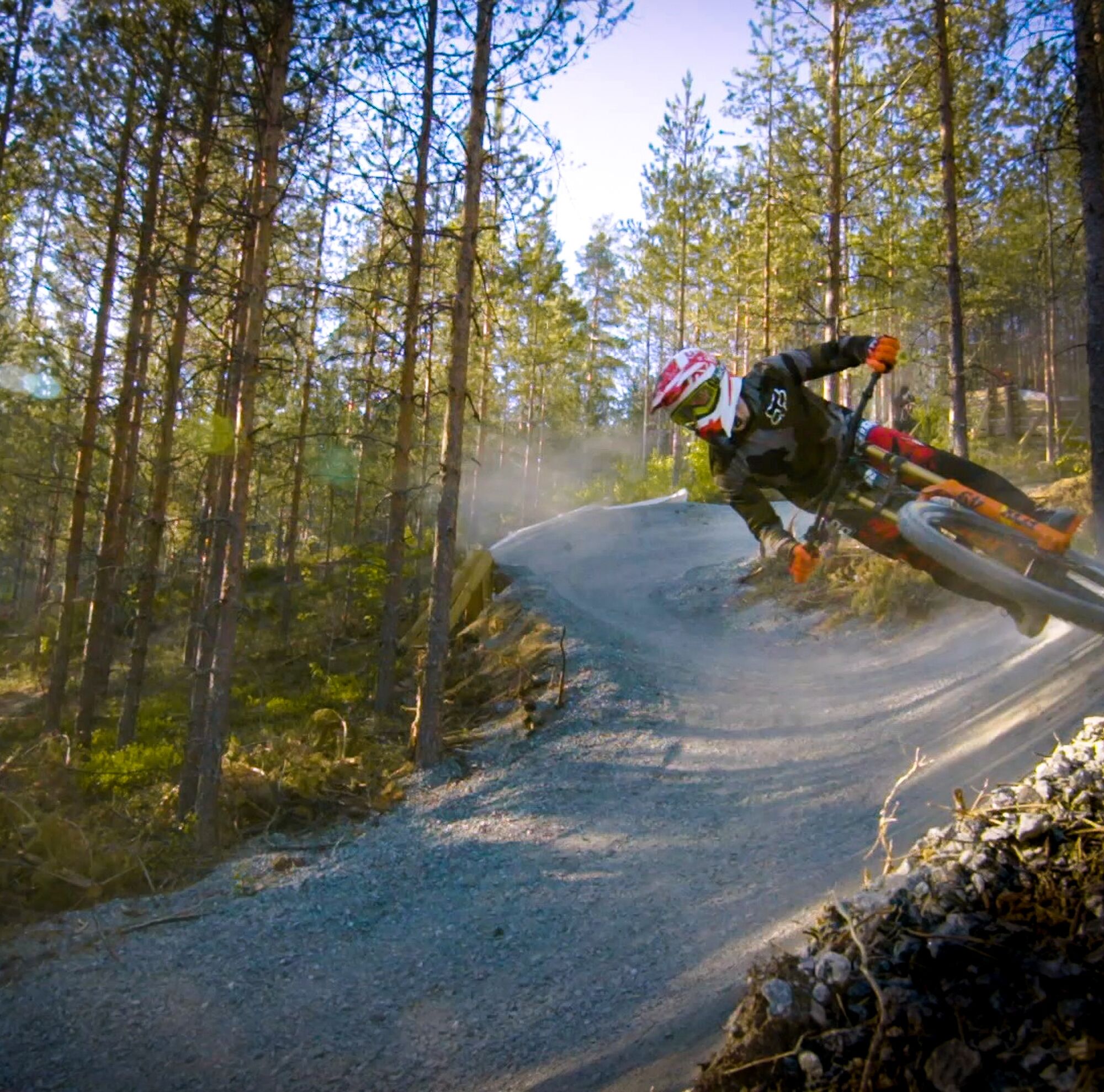
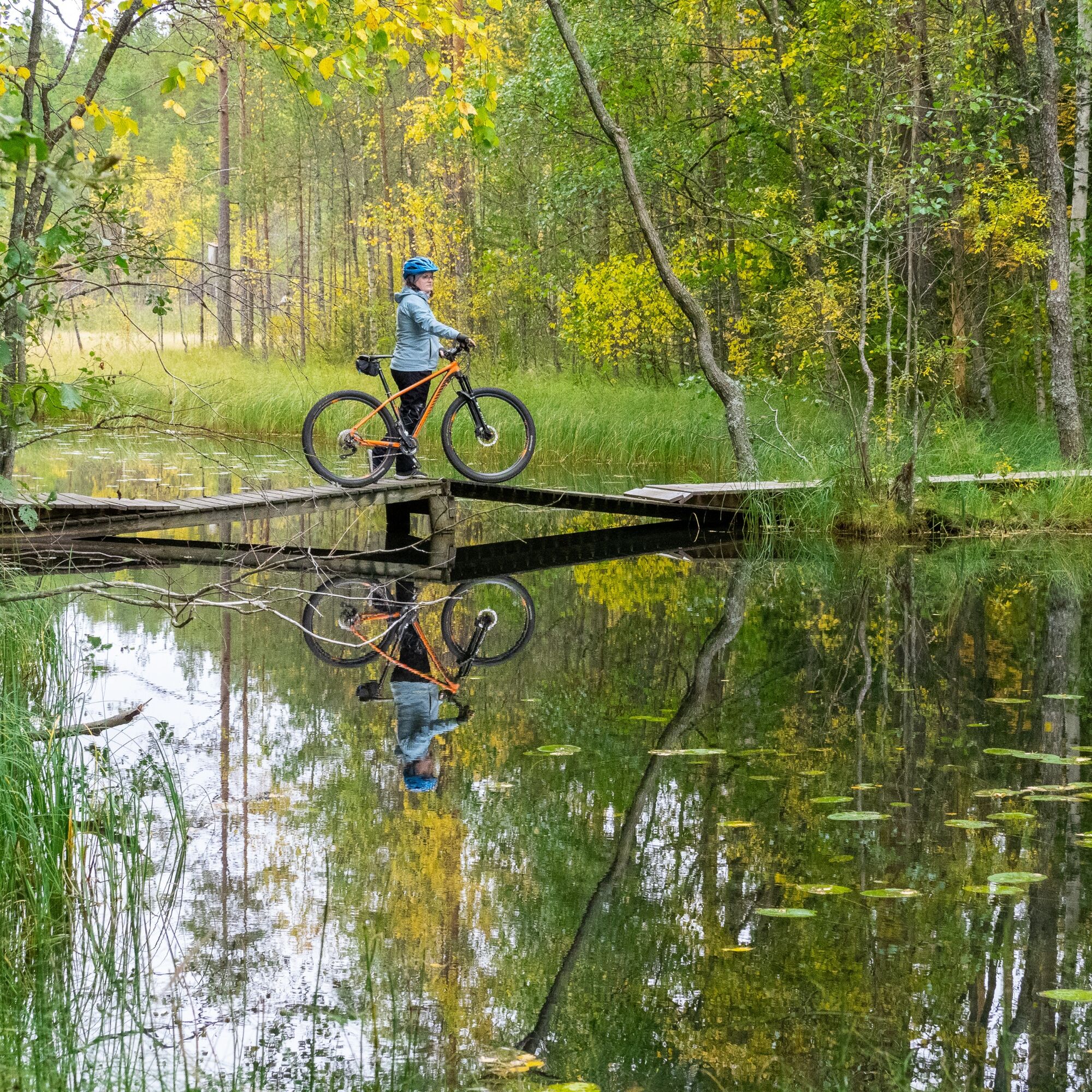
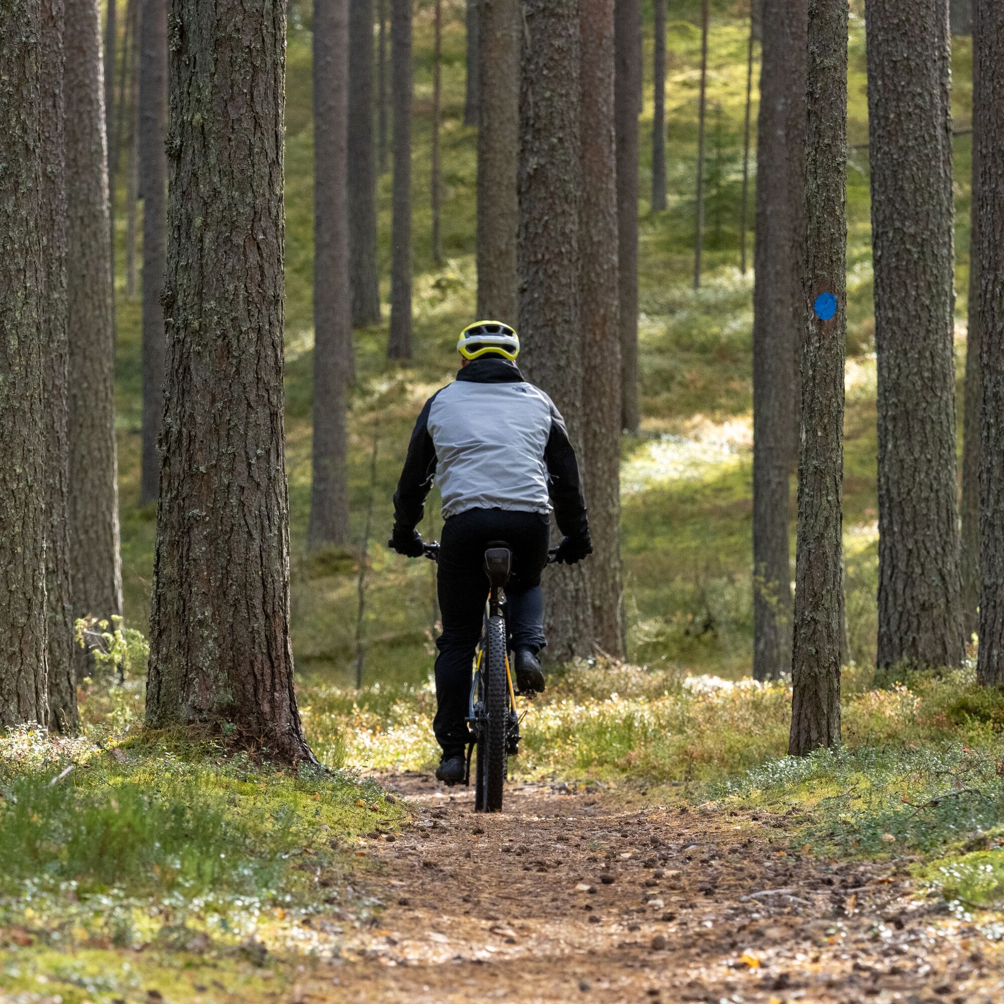
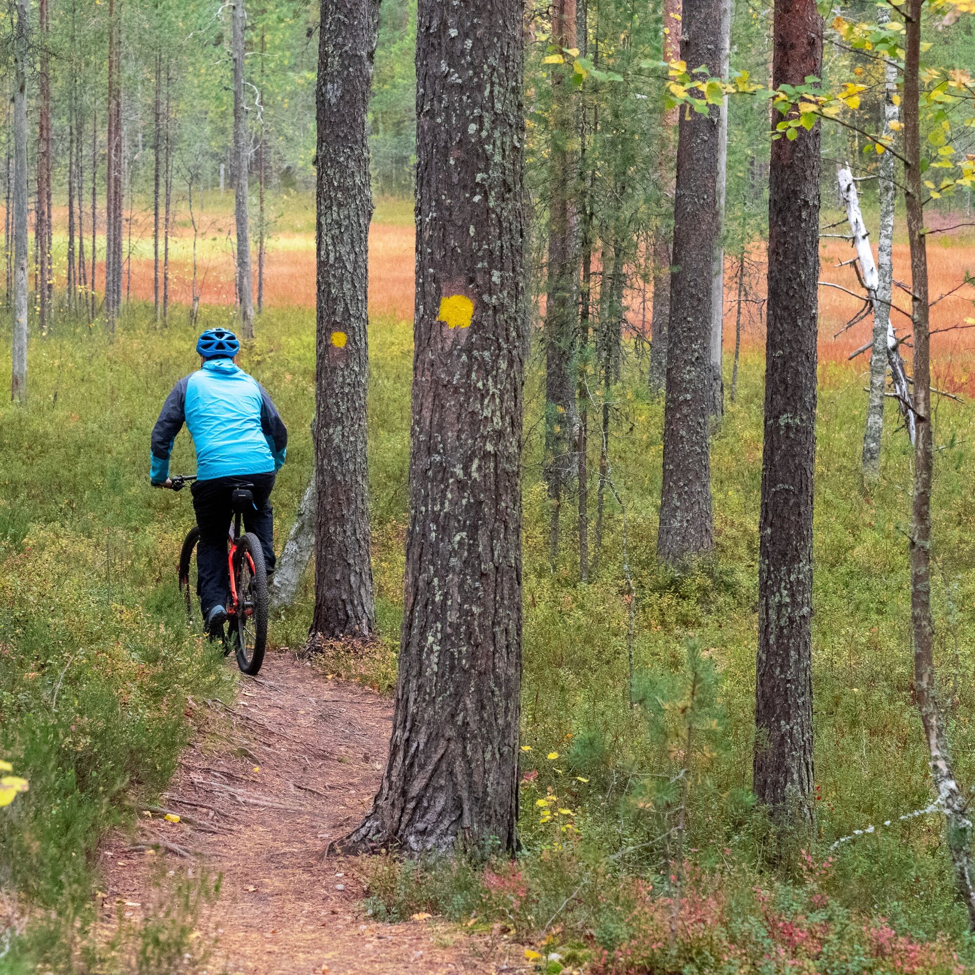
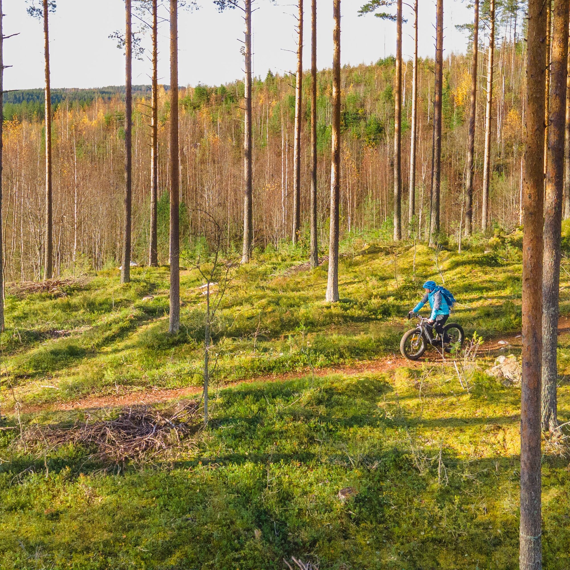
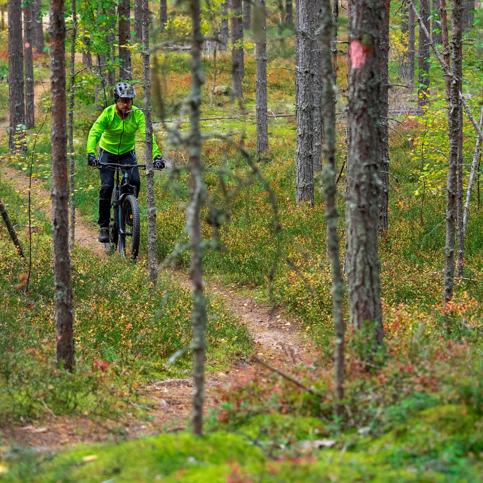
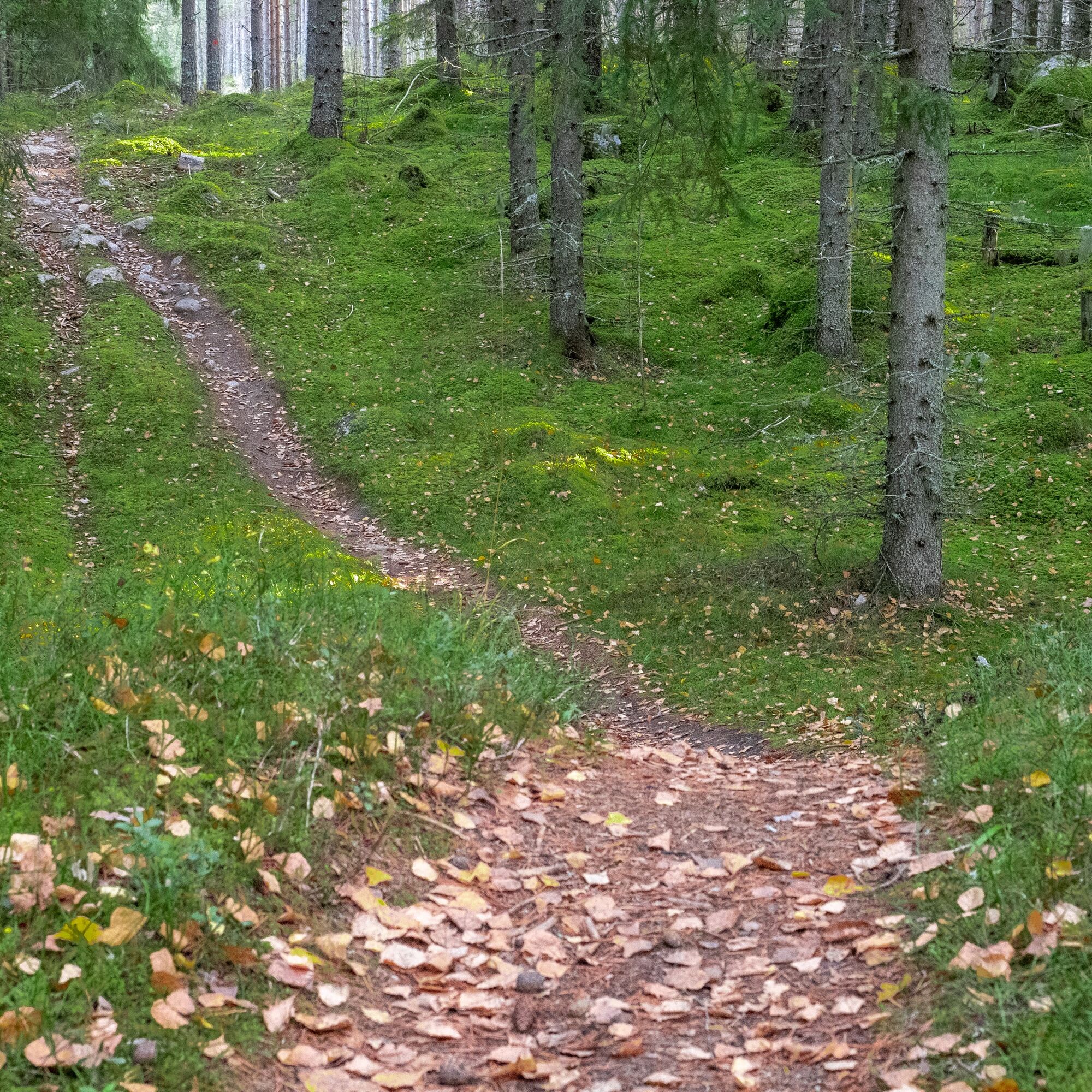
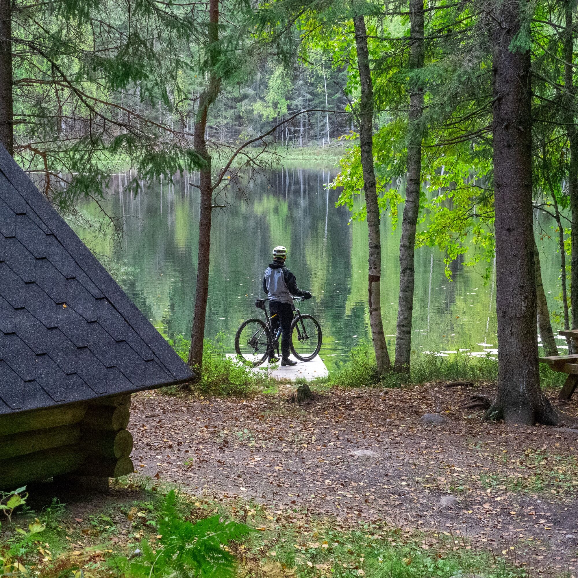
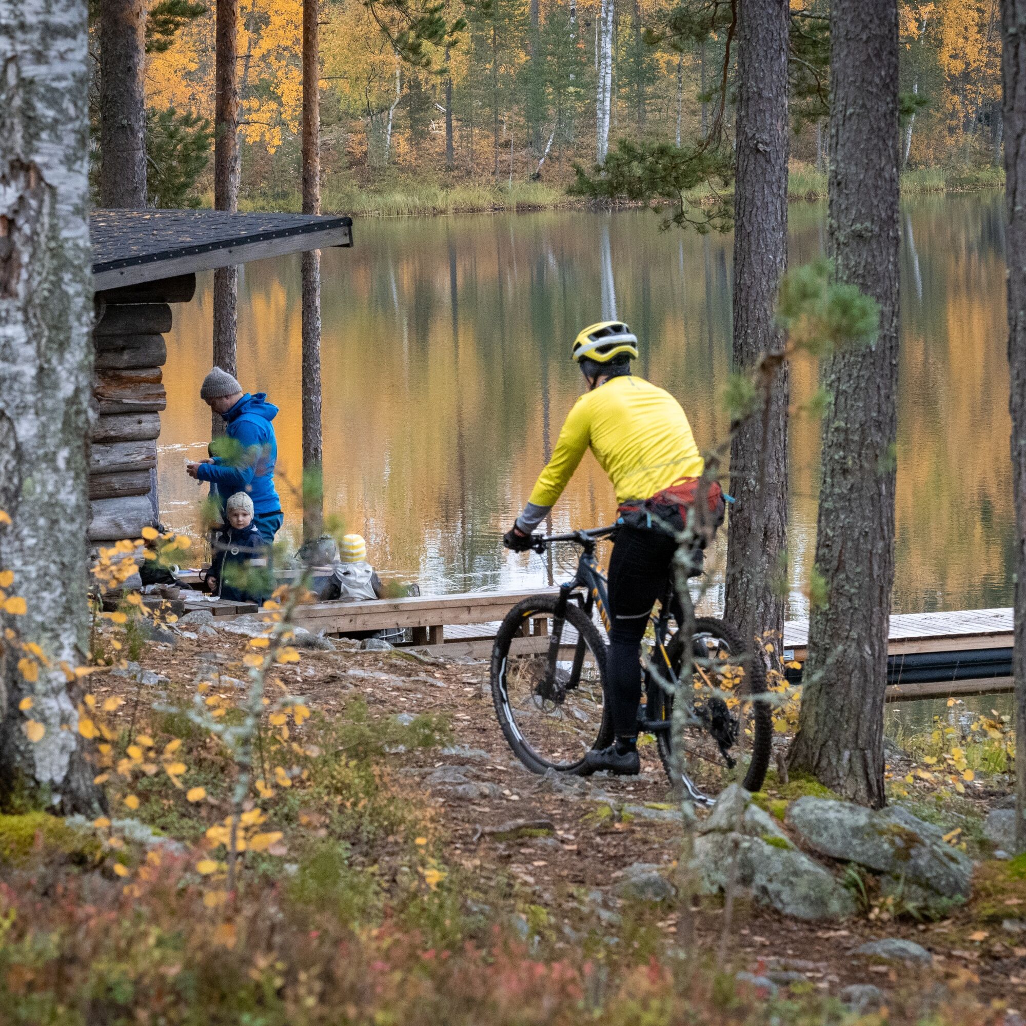
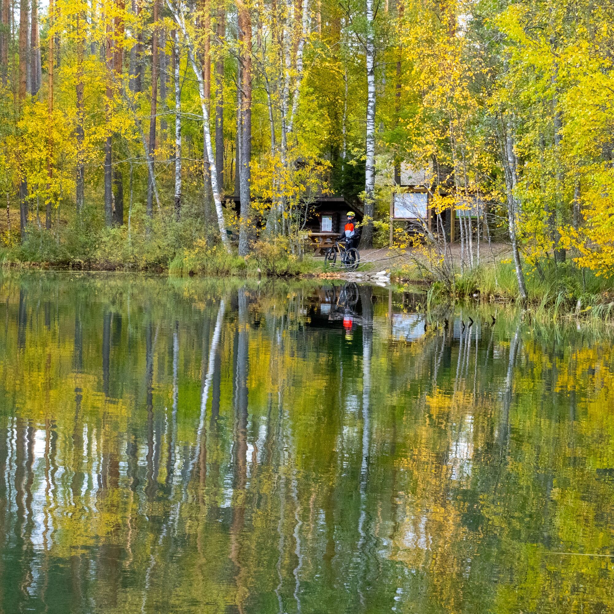
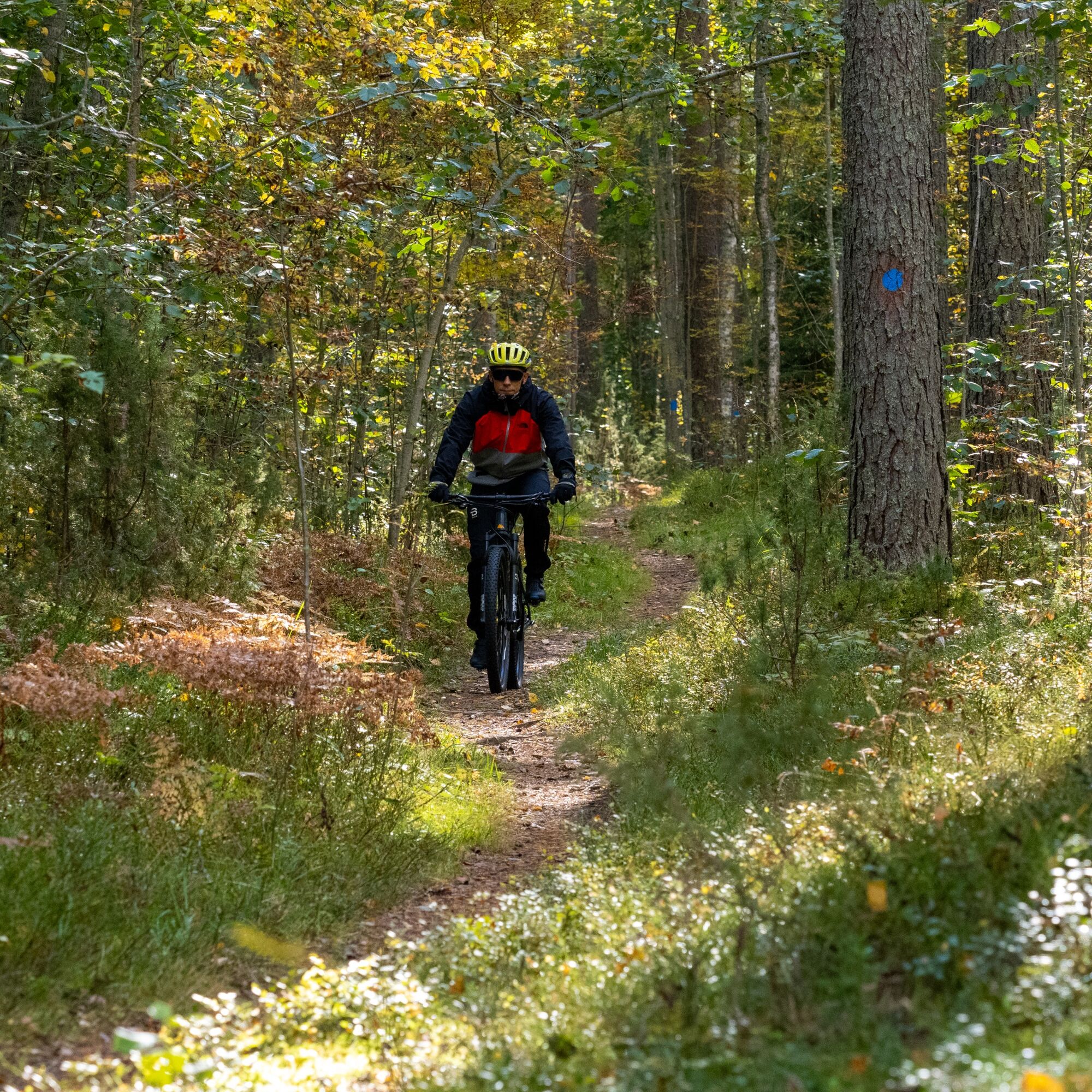
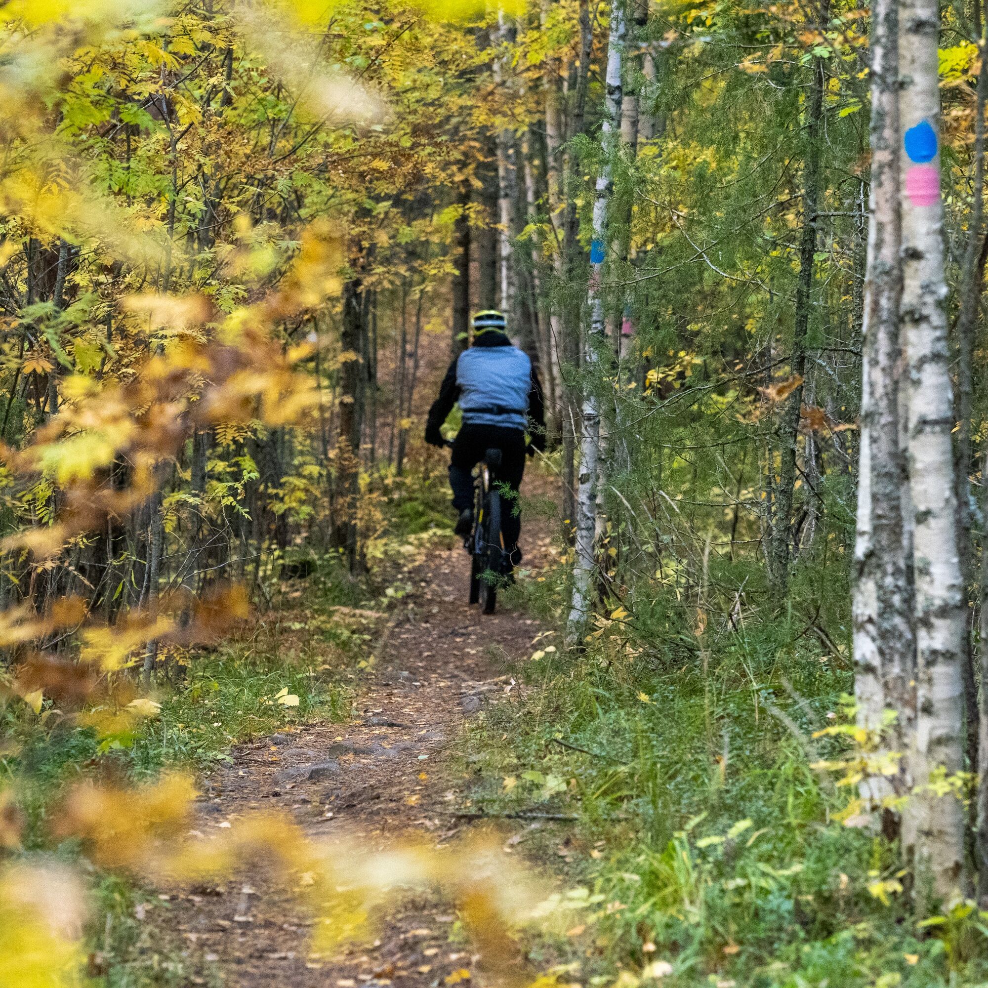

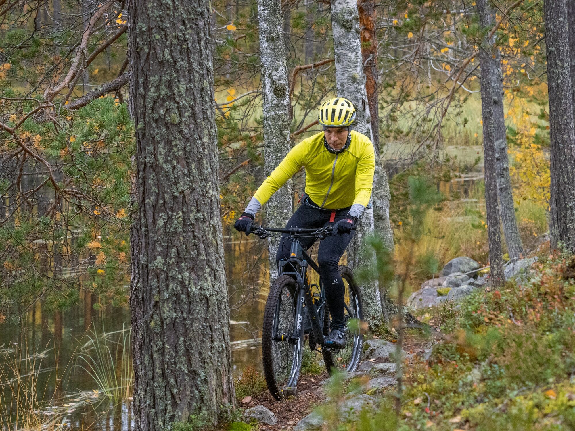

The route follows entirely the marked trails of Liperi's Kinttupolut. The starting point of the route is at the lower parking lot of the Pärnävaara Sports Center.
This 63 km long route consists of the following marked trails:
1) Jyri Trail (Yellow)
2) Matkalampi Trail (Blue)
3) Pahakala Trail (Pink)
4) Matkalampi Trail (Blue)
5) Jyri Trail (Yellow)
6) Heinälampi Trail (Green)
7) Surmilampi Trail (Turquoise)
8) Pesävaara Trail (Red)
9) Surmilampi and Heinälampi Trail (Turquoise&Green)
10) Pärnä Trail (Black)
11) Pärnä Bike Park (downhill trails of different difficulty levels from easy to demanding)
12) Return from Pärnä Bike Park with the purple colors of the Winter Trail back to the Pärnävaara Sports Center.
Áno
Weather-appropriate clothing and equipment
Enough drinks and snacks
Tools according to the length of the riding day (e.g., multi-tool, tire repair kit, inner tube)
In rainy weather, stones and roots are slippery.
Small first aid kit
112 app
Drive from Joensuu along highway 9 towards Kuopio about 13 km, exit at Ylämylly junction and park at your desired parking lot.
Regular bus traffic from Joensuu to Ylämylly, from where it is less than a kilometer to Matkalampi Trail.
Check schedules on Joensuu region public transport website https://jojo.joensuu.fi/.
Free parking at the official starting point of the route:
Pärnävaara Outdoor Center, Urheilutie 5A (from here 3-7 km to Matkalampi Trail)
You can also start the route from other official starting points:
Honkalampi beach, address Honkaranta 2e
Matkalammentie 1 (next to Sompalampi lean-to)
In Ylämylly center, several services and parking lots (shops, restaurants, gas stations, cafés)
S2
Restaurant Gaiju
Ylämylly restaurant services
Showers and toilets at Pärnävaara
Several campfire sites, especially Iso Heinälampi worth stopping at
At the end of the route Pärnä Bike Park
Joensuu region trail map
Obľúbené výlety v okolí
-
Liperin Kinttupolut (the easiest trails accessed from Kaprakka)
svetloMountainbike 28,2 km -
Lykynlampi (Winter) Trail, Lykynpolut
svetloMountainbike 5,20 km -
Jaama Trail, easy circular route around Joensuu
svetloMountainbike 59,4 km -
Surmilampi Trail, Liperin Kinttupolut
strednáTrailrunning 6,55 km -
Joy of riding, the best parts of Joensuu region routes 184 km
strednáMountainbike 184,3 km -
Jyri Trail, Liperi Kinttupolut
strednáTrailrunning 16,0 km -
Kuhasalo accessible route
svetloTuristika 3,36 km -
The best trails in the Lykynpaths route at Lykynlampi
svetloMountainbike 15,4 km -
Pahakala Trail, Liperin Kinttupolut
svetloTuristika 12,3 km -
Pesävaara Trail, Liperi's Kinttupolut
strednáTrailrunning 8,17 km
Turistika a stopovanie


Nenechajte si ujsť ponuky a inšpiráciu na ďalšiu dovolenku
Vaša e-mailová adresa bol pridaný do poštového zoznamu.





