


Pärnä Trail, Liperi Kinttupolut


The Pärnä Trail is the shortest but hillier route of the Liperi Kinttupolut trails, located right next to the Pärnävaara sports center. The route circles almost the top of Pärnävaara, from where there...
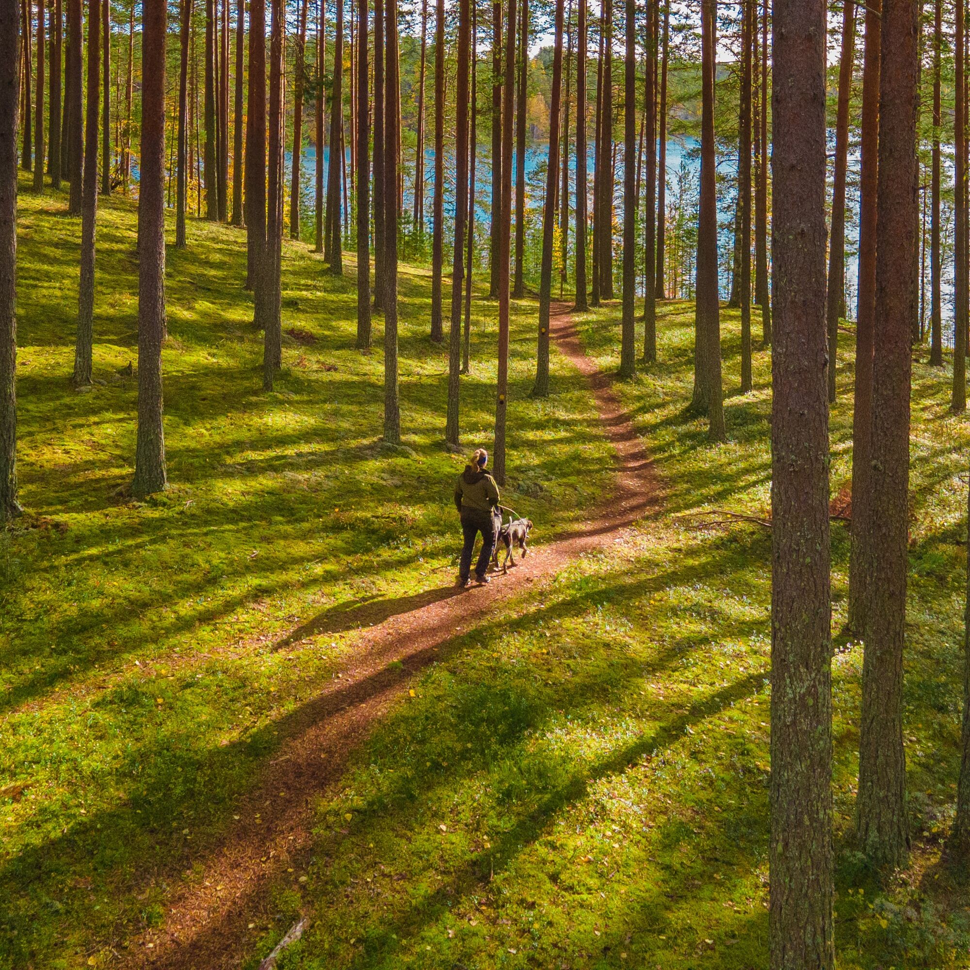
The Pärnä Trail is the shortest but hillier route of the Liperi Kinttupolut trails, located right next to the Pärnävaara sports center. The route circles almost the top of Pärnävaara, from where there are the best views of the surrounding area.
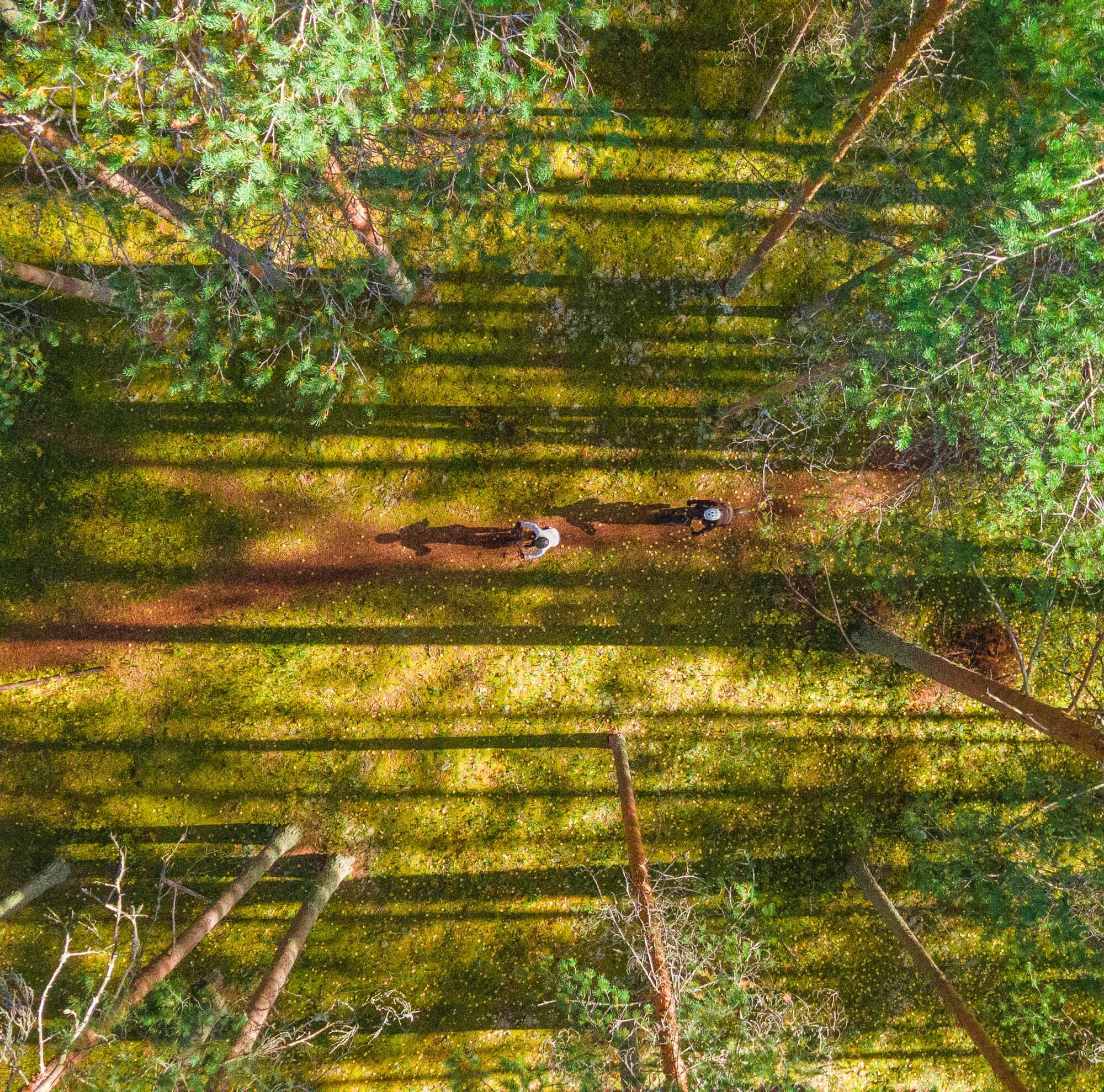
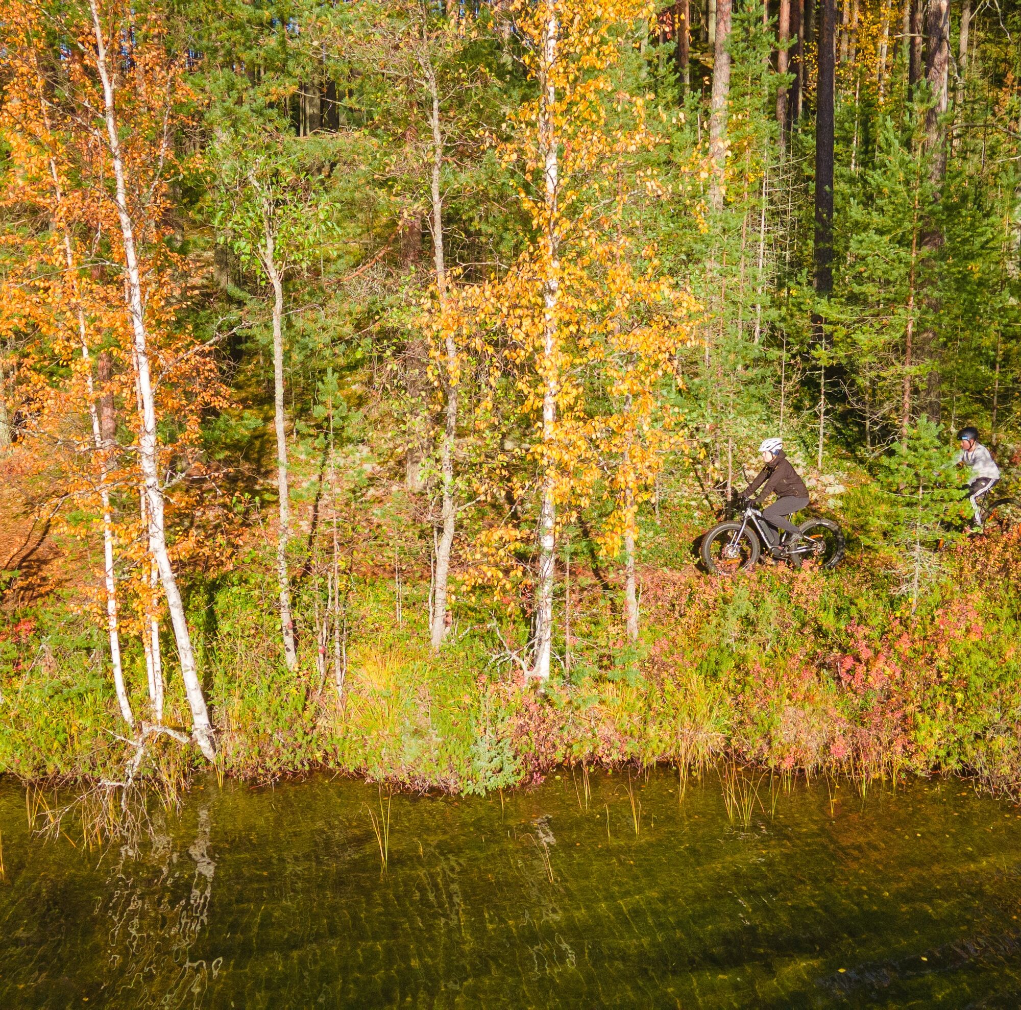
It is recommended to start the Pärnä Trail from the lower parking of the Pärnävaara sports center (Urheilutie 5A), from where, heading clockwise, you quickly reach pleasant and narrow needle trails after a short section on the ski track base. After the first kilometer, the trail passes the "lower station" of Pärnä Bike Park, which is the endpoint of the downhill trail network and has a freely available grilling shelter. The path continues about half a kilometer on narrow trails until the biggest ascent of the Kinttupolut trails towards the top of Pärnävaara. Ascending on ski track bases, you gain about 75 meters in elevation. Near the summit, you can stop to enjoy the views in the nature reserve. The route continues along the Pärnä Trail back to the sports center, and mostly downhill ski track sections remain.

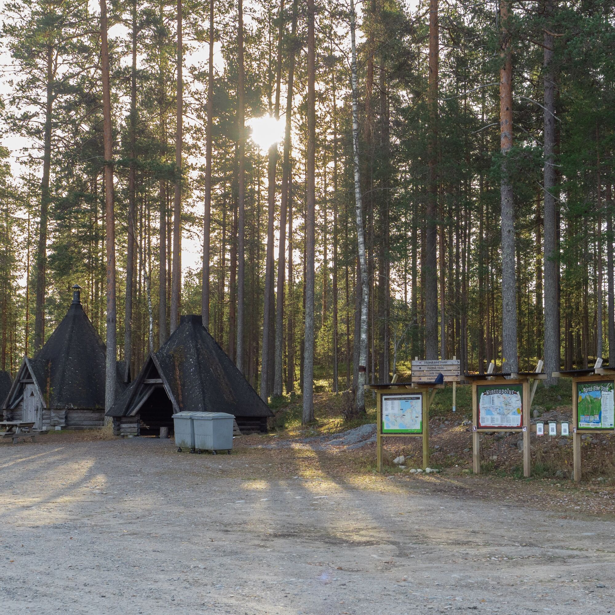
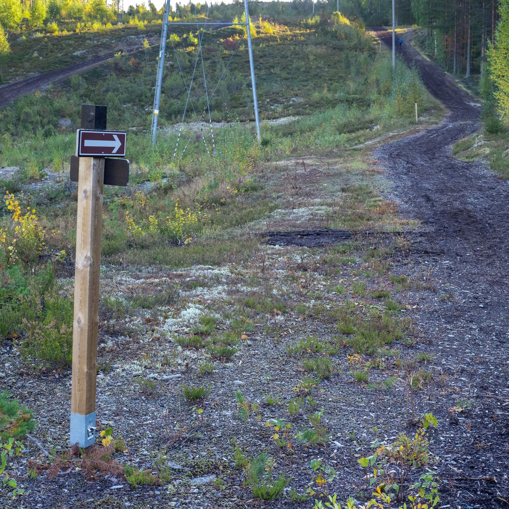
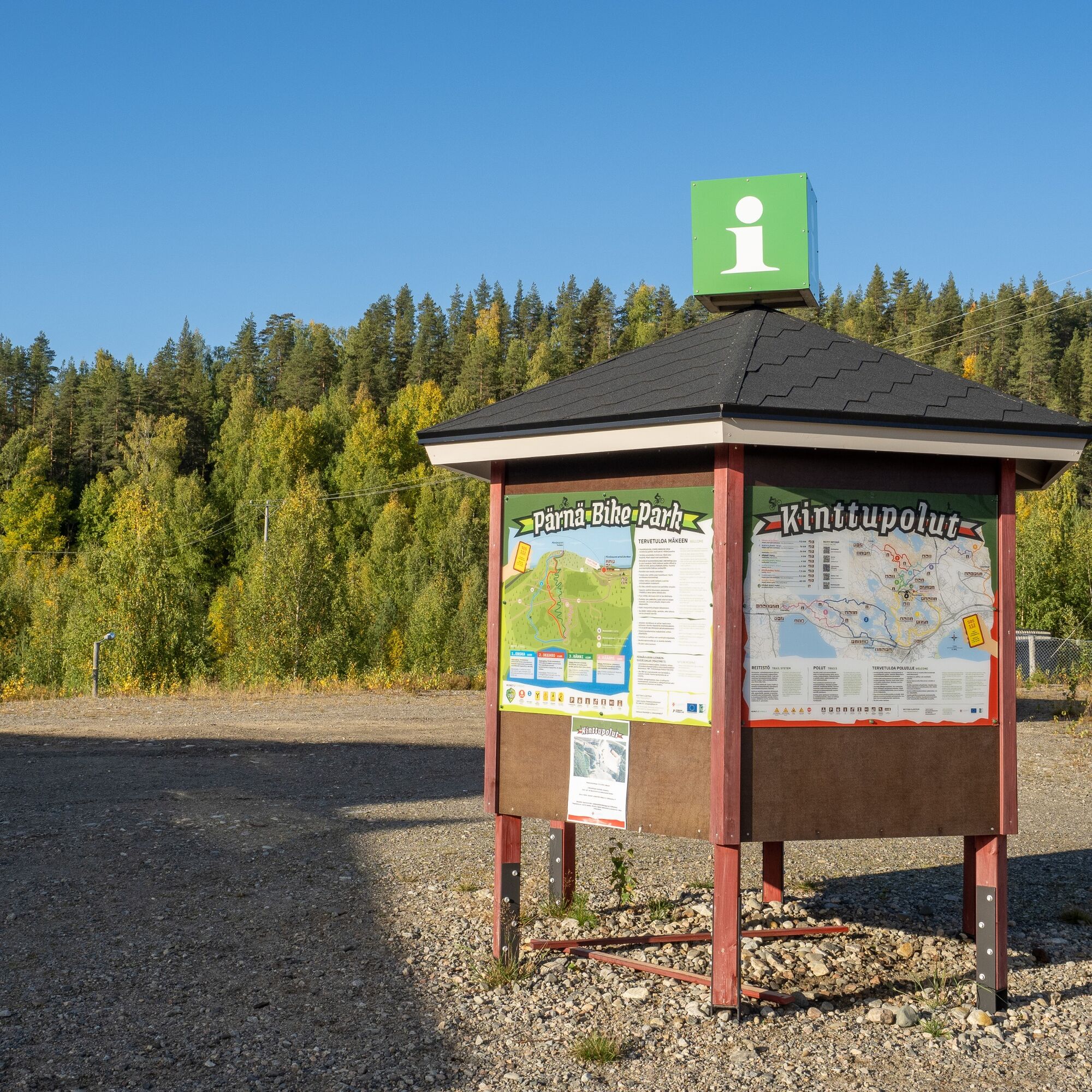
The Pärnä Trail is marked in the terrain with black. The parking lot is located at the lower parking area of the Pärnävaara sports center, from where turning left, i.e. clockwise on the Pärnä Trail (black sign color), is the more reasonable direction. At intersections of trails in the terrain, information boards make it easy to find your location. It is easy to stay on the trail thanks to good guidance.
Áno
Weather-appropriate clothing and equipment
Enough drinks and snacks
Other equipment depending on the length of the hiking trip (sleeping bag, tent, etc.)
Stones and roots are slippery when wet.
Small first aid kit
112 emergency app installed on phone
Drive from Joensuu along Highway 9 towards Kuopio for about 10 km, exit at junction number 21, and then follow the signs to the Pärnävaara sports center.
There is regular bus service from Joensuu to Jyrinkylä, whose main stop (Jyrinlenkki) is 900m from the sports center of Pärnävaara along Urheilutie, from where you can best reach the trail.
Check schedules on the Joensuu region public transport website https://jojo.joensuu.fi/.
Free parking is available at the lower or upper level parking areas of the Pärnävaara sports center. Starting from the lower level parking is more convenient for accessing the trails.
The nearest restaurants and shops are located in Ylämylly.
Pärnä Bike Park for those interested in downhill biking.
Combine your outdoor day with other Liperi Kinttupolut routes
The nearest restaurants and shops are located in Ylämylly.
Obľúbené výlety v okolí
-
Liperin Kinttupolut (helpoimmat polut Kaprakasta käsin)
svetloMountainbike 28,2 km -
Surmilampi Trail, Liperin Kinttupolut
strednáTrailrunning 6,55 km -
Joy of riding, the best parts of Joensuu region routes 184 km
strednáMountainbike 184,3 km -
Jaama Trail, easy circular route around Joensuu
svetloMountainbike 59,4 km -
Kuhasalo accessible route
svetloTuristika 3,36 km -
The best trails in the Lykynpaths route at Lykynlampi
svetloMountainbike 15,4 km -
From Joensuu's Jokiasema to Lykynlamm
svetloMountainbike 42,5 km -
The active mountain biker’s dream, Liperi’s Kinttupolut
ťažkéMountainbike 62,9 km -
Lykynlampi (Winter) Trail, Lykynpolut
svetloMountainbike 5,20 km -
Accessible route, Lykynpolut
svetloTuristika 1,45 km
Turistika a stopovanie


Nenechajte si ujsť ponuky a inšpiráciu na ďalšiu dovolenku
Vaša e-mailová adresa bol pridaný do poštového zoznamu.