


Pamilonkoski nature trail
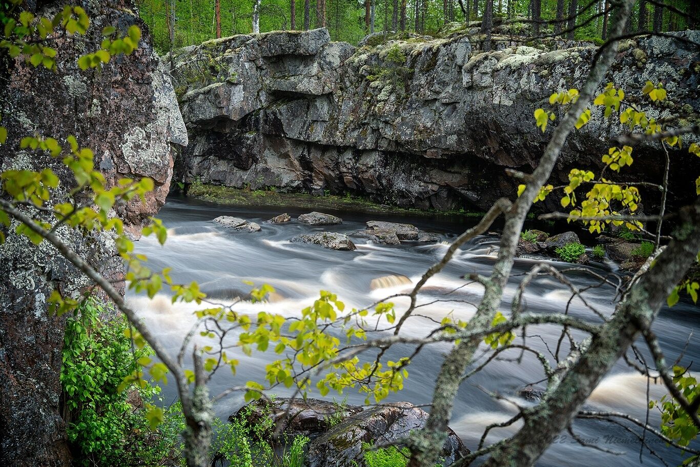
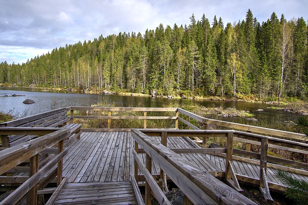
The first kilometer of the Pamilonkoski trail, marked in red and measuring 6.1 km, runs along the Koitajoki River together with the Ala-Koitajoki route marked in blue. When walking counterclockwise, the...
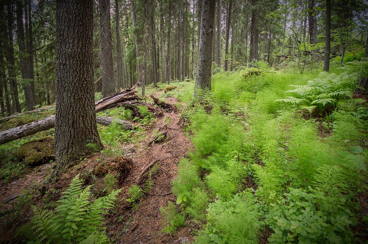
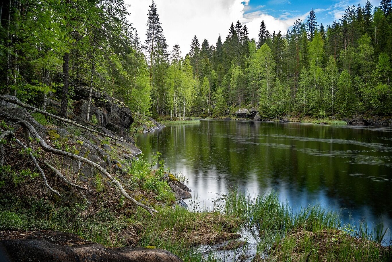
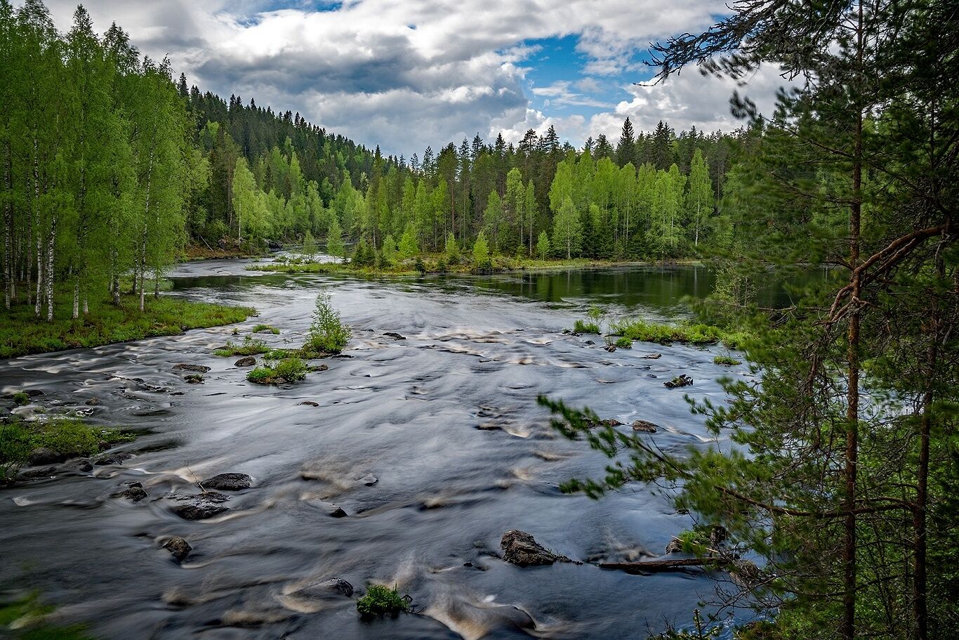
The first kilometer of the Pamilonkoski trail, marked in red and measuring 6.1 km, runs along the Koitajoki River together with the Ala-Koitajoki route marked in blue. When walking counterclockwise, the two campfire sites are right at the start of the trip. The first few hundred meters are accessible, as is the first campfire site. Most of the route is smoothly traversable forest path. The sections along the river are narrow, rocky, and partly difficult to walk.
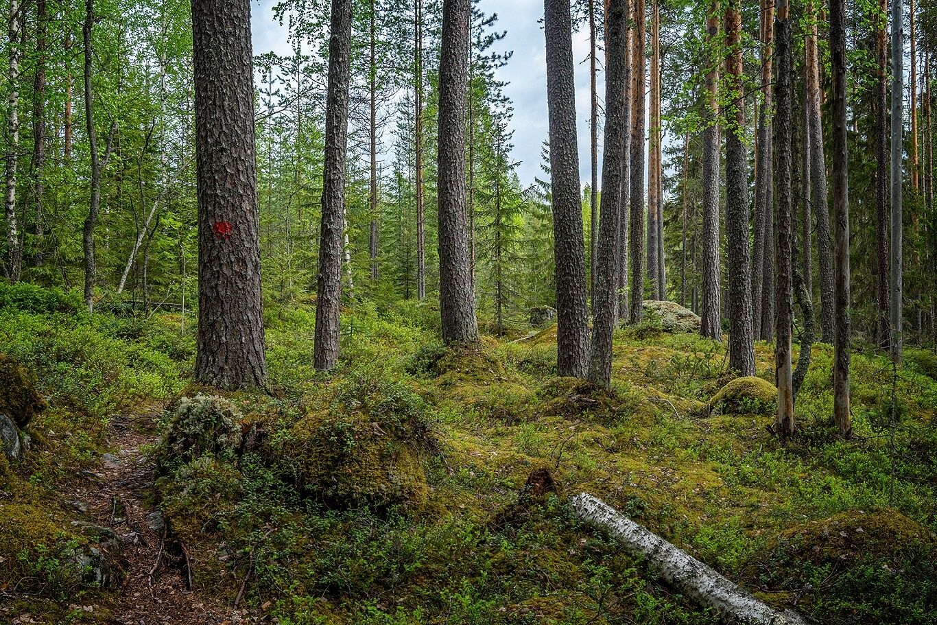
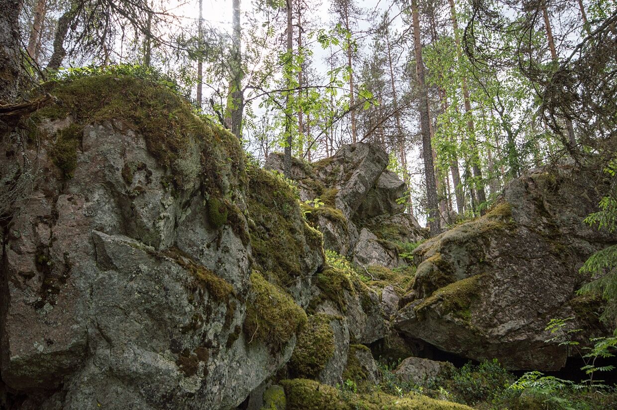
From the Koitajoki riverbank, the trail gradually ascends towards Kirjovaara and a protected old forest area. Most of the Pamilonkoski nature trail runs through the protected area. Numerous bracket fungi species, some rare, have been found on the slopes of Kirjovaara. Lichens and map lichens decorate the trees.
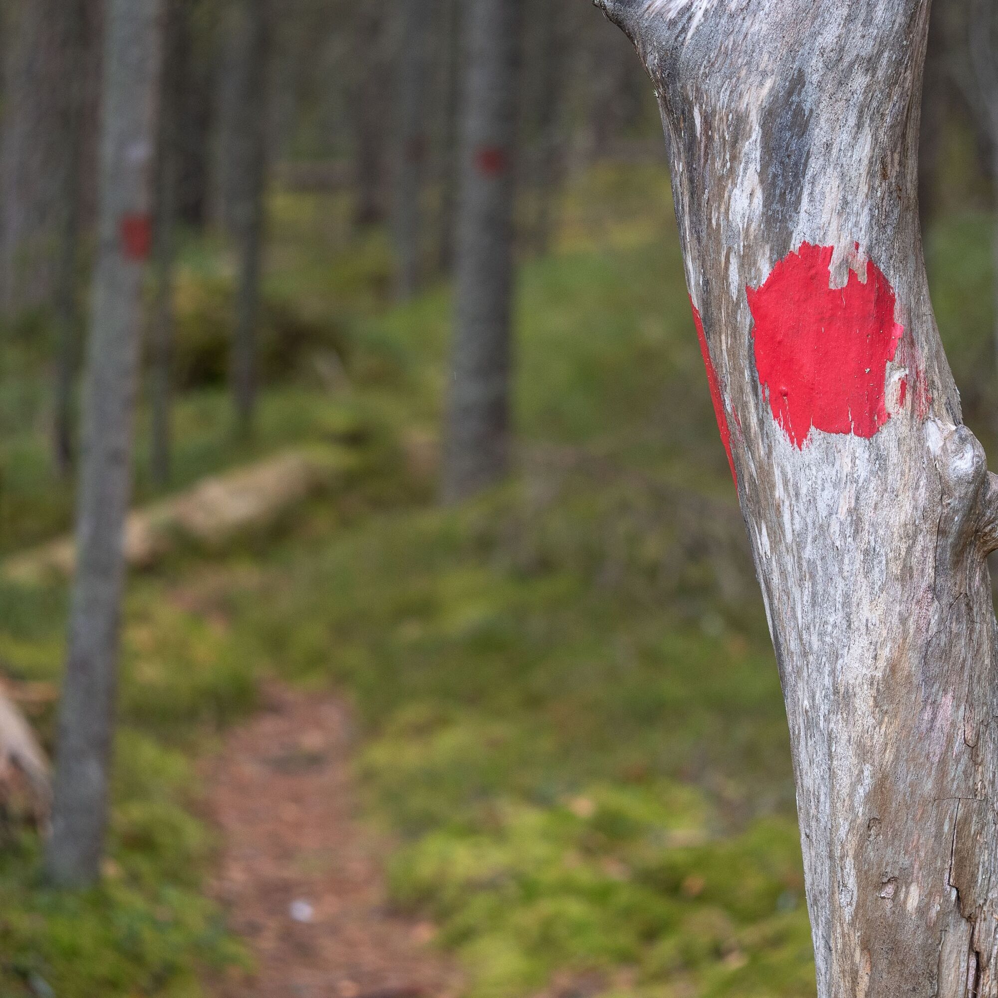
The route's 17 information boards offer interesting facts about the area's history and nature.

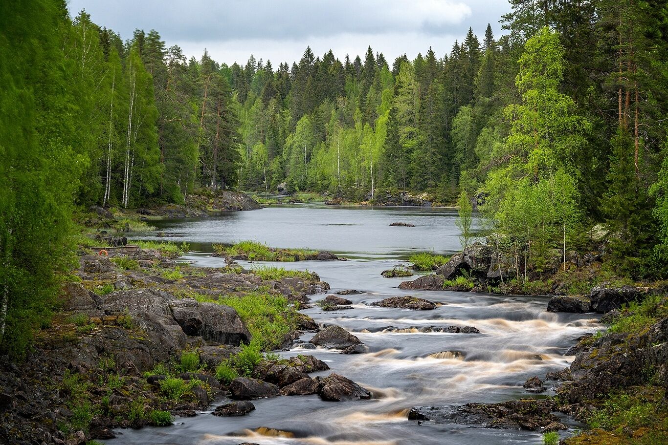
The first kilometer of the Pamilonkoski trail, marked in red and measuring 6.2 km, runs along the Koitajoki River together with the Ala-Koitajoki route marked in blue.
Áno
Good shoes are recommended
A knife and fire-making tools for snacking at campfires
Download the 112 app to your phone
Address: Pamilontie 1054, Uimaharju
Address: Pamilontie 1054, Uimaharju
At Kirjovaara, the ruins take the traveler back to the early 1900s, when the site was home to the forest ranger's farm of Kirjovaara and lodging for visitors at Pamilo. Both fishermen of the time and visual artists have told their stories in the cottage.
Turistika a stopovanie


Nenechajte si ujsť ponuky a inšpiráciu na ďalšiu dovolenku
Vaša e-mailová adresa bol pridaný do poštového zoznamu.