


Paddling Kitkajoki river: Lower part
Úroveň náročnosti: 5

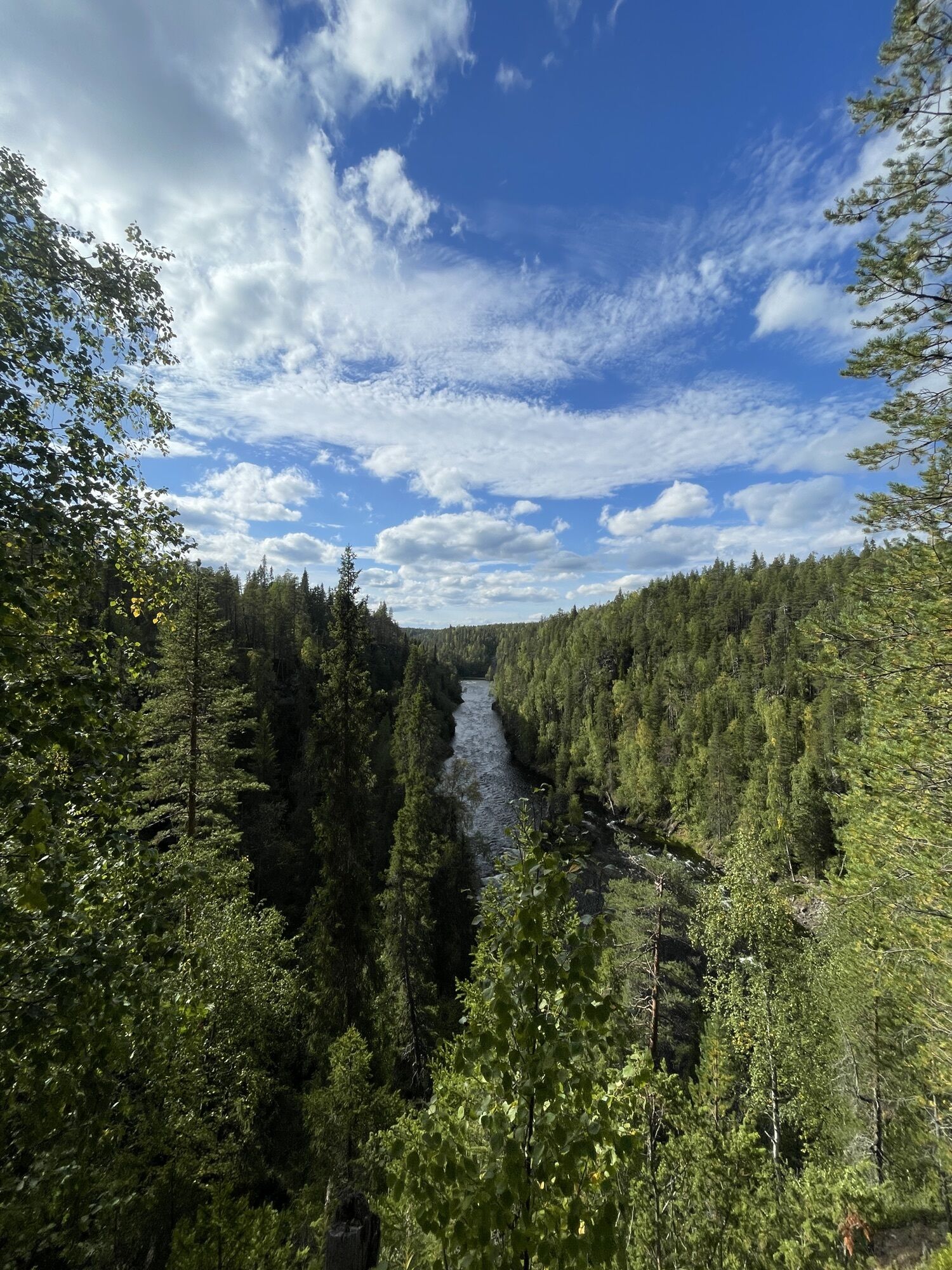
The Kitkajoki river's lower part includes several rapids classified between I-VI. The lower part of Kitkajoki river is 18,3 kilometers long and getting to the starting point of the route happens from the...
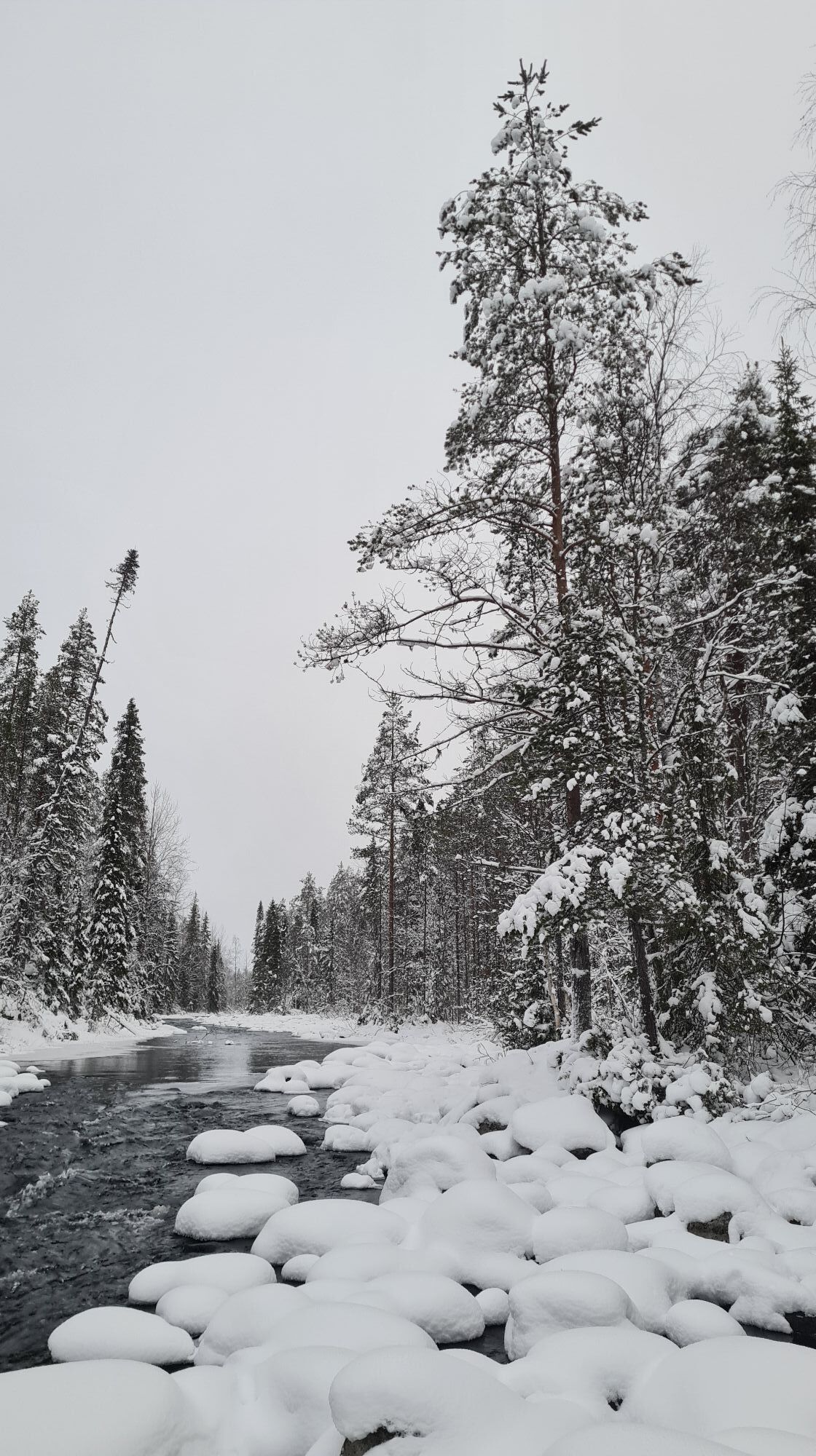
The Kitkajoki river's lower part includes several rapids classified between I-VI. The lower part of Kitkajoki river is 18,3 kilometers long and getting to the starting point of the route happens from the picturesque Juuma village located in northern Kuusamo. Getting off the route can be done in Kitkajoki close to the border zone, or by paddling the Oulankajoki river upstream to Jäkälämutka where you can get back to the shore on the right side of the beach. Jäkälämutka has road connections to Käylä and Kiutaköngäs.

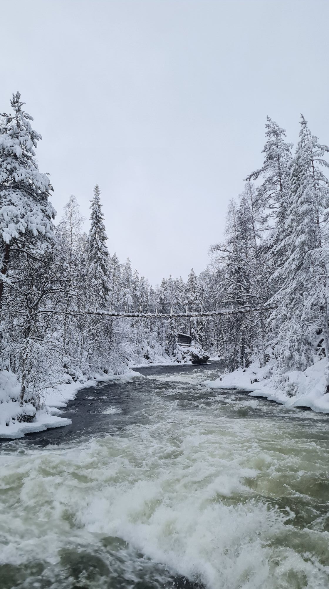
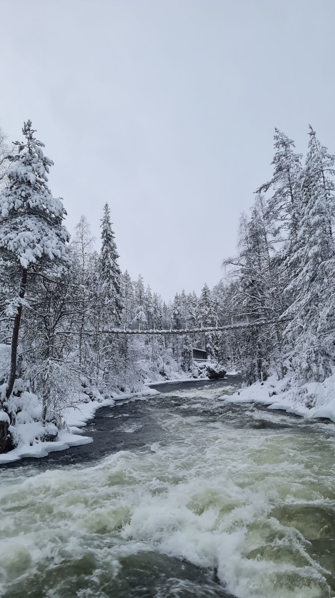
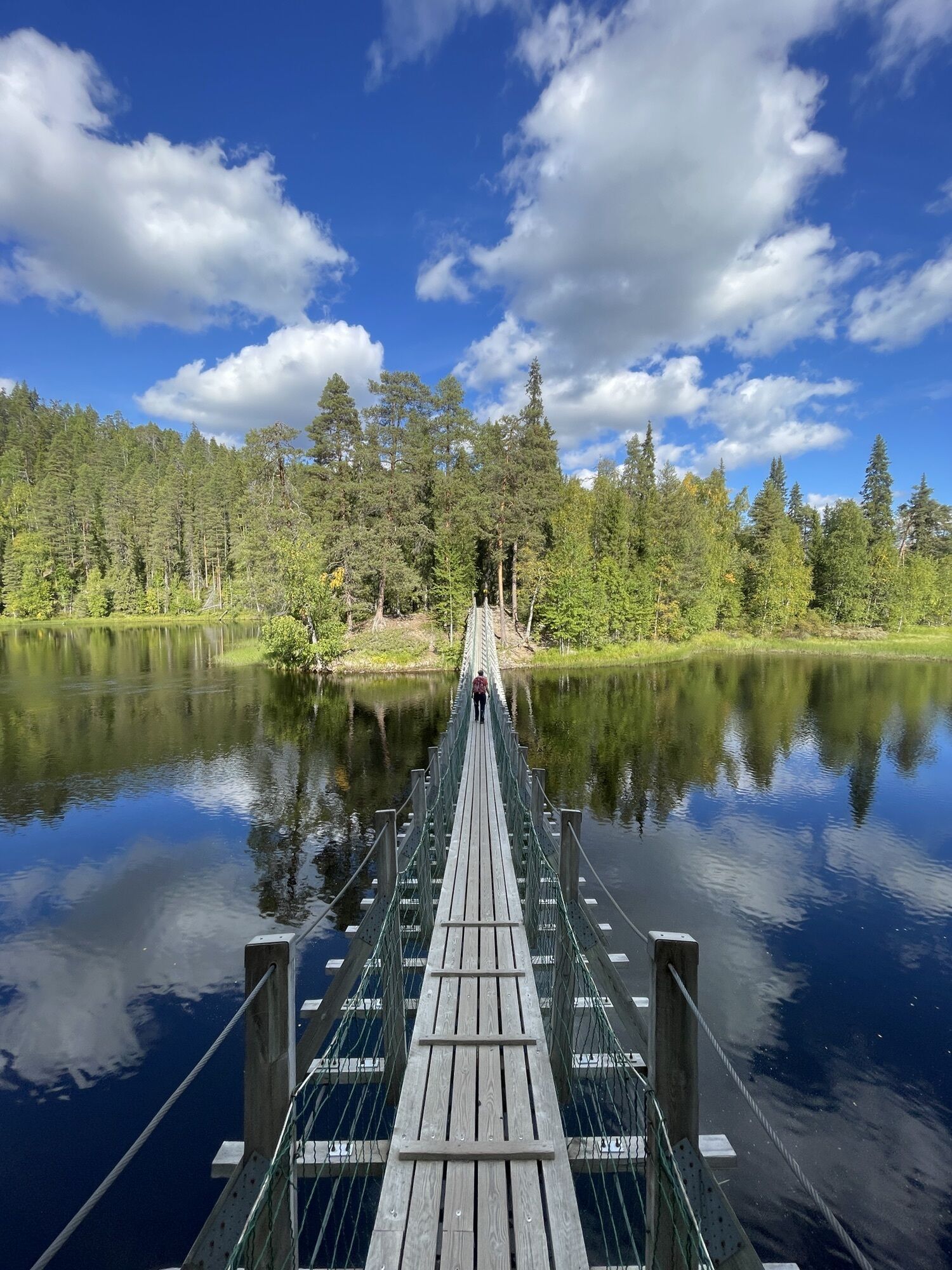
Niskakoski II : Niskakoski starts from under the hanging bridge, and there's a sharp turn to the right. At the end of the rapid there is a big, straight wave and under that wave are lots of rocks. Niskakoski is paddled down in the middle part, and it's 150 meters long.
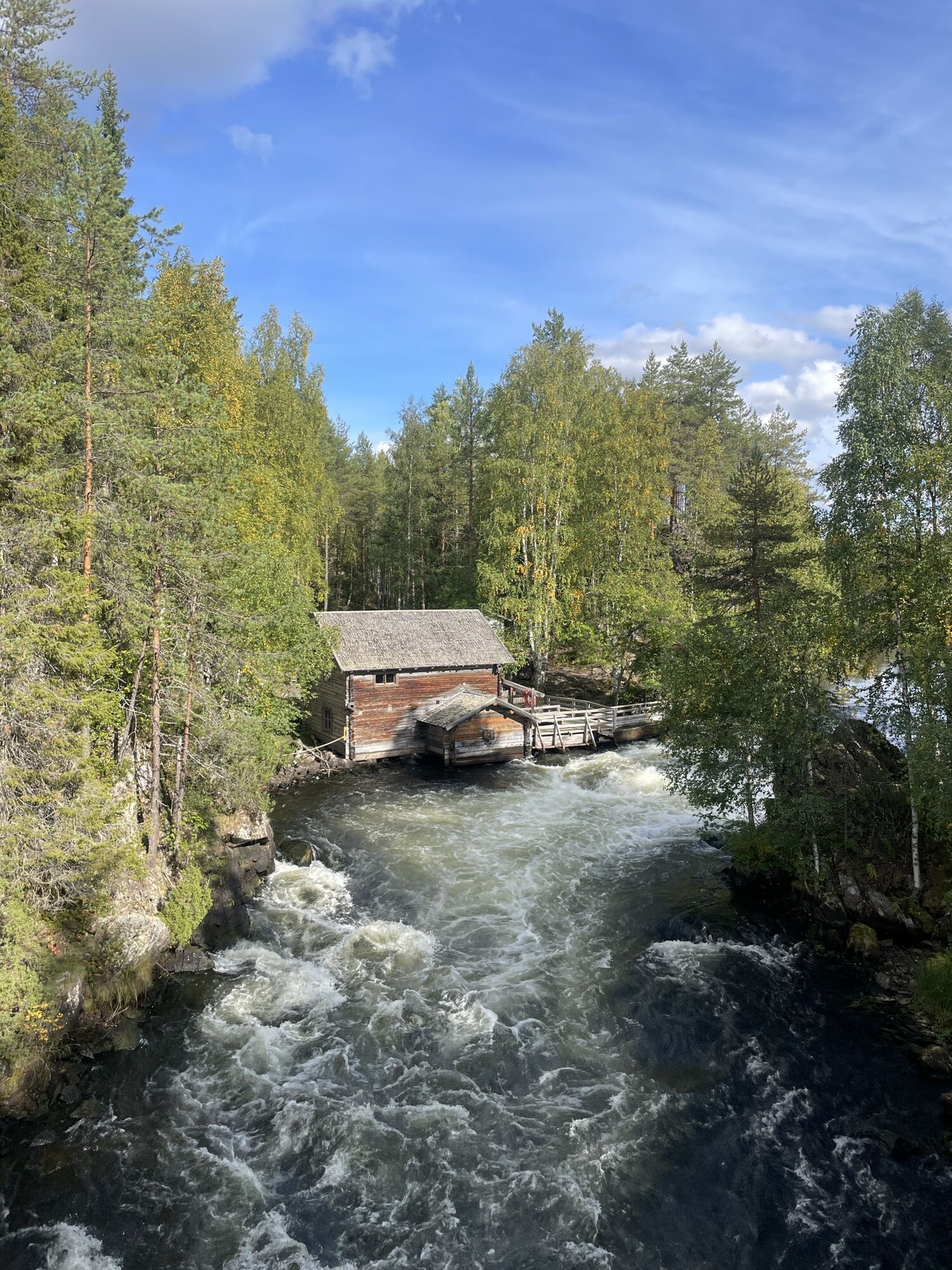
Myllykoski III : Myllykoski is paddled down from the right side, and it starts with a small rapid. There's a strong stopper next to the mill of Myllykoski, and after that there's a sharp turn to the left. At the end of the rapid there is a V-shaped stopper wave, which you can paddle down from the middle. The rapid widens at the end. Please get to know Myllykoski from the mill's side before you start paddling.
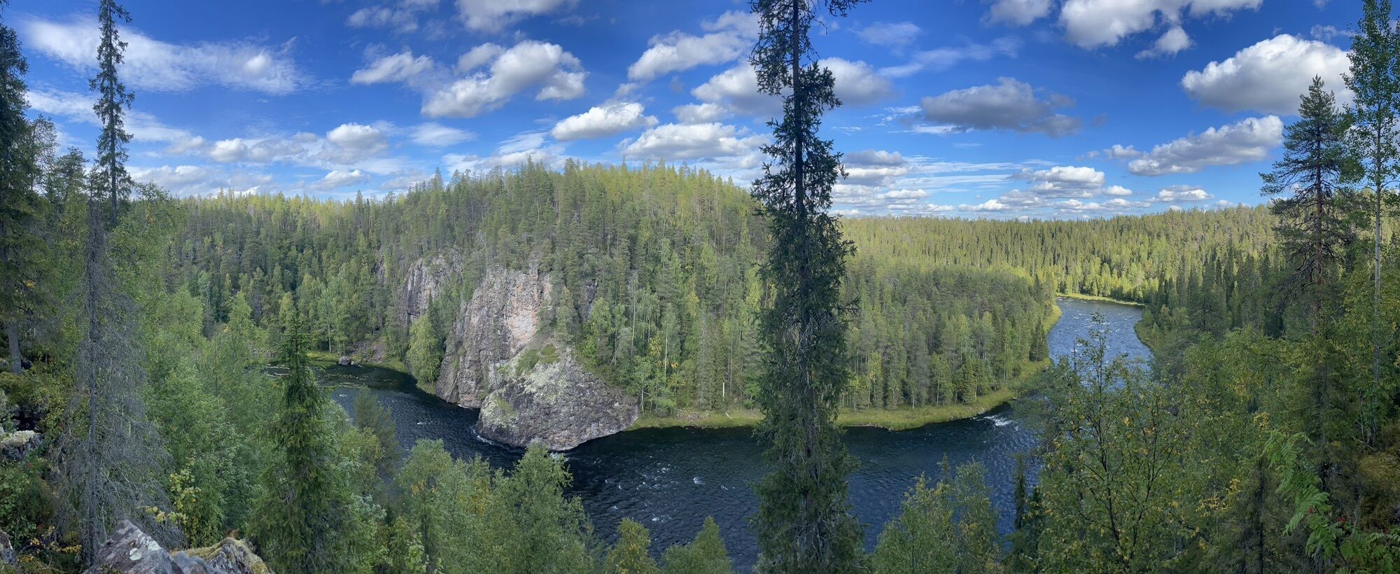
Aallokkokoski IV : This rapid requires lots of previous experience from paddling. After Myllykoski and the river on the left after Myllykoski disappear from sight, that is where Aallokkokoski starts. Aallokkokoski is paddled down in the middle, and in the upper part of Aallokkokoski there are some big waves. As the river widens, it should be paddled down from the left part. The rapid is very fast-paced and 600 meters long. There are lots of rocks in the rapid. After a turn to the left, there is a stopper which is meant to be paddled down from the middle. After Aallokkokoski, it is absolutely necessary to get back to the shore, get up the stairs on the right side, and walk past Jyrävä by land. There is a rescue wire before Jyrävä waterfalls.
Jyrävä VI : DANGER TO LIFE. It is safer to admire Jyrävä waterfalls from the shore. Jyrävä is a 9 m high waterfall and it is absolutely not suitable for paddling in any way!
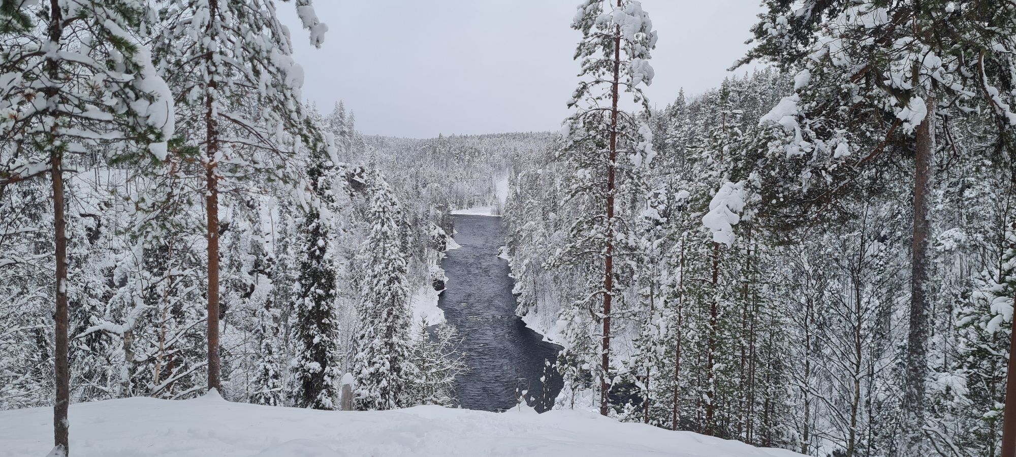
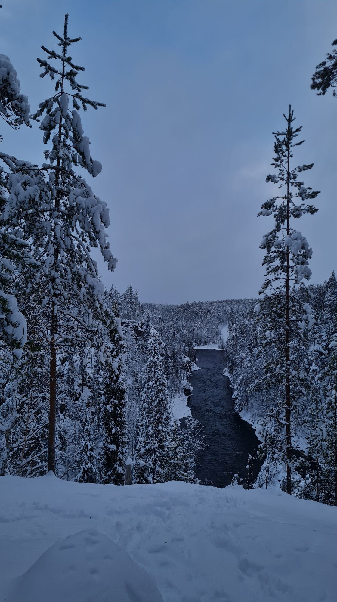
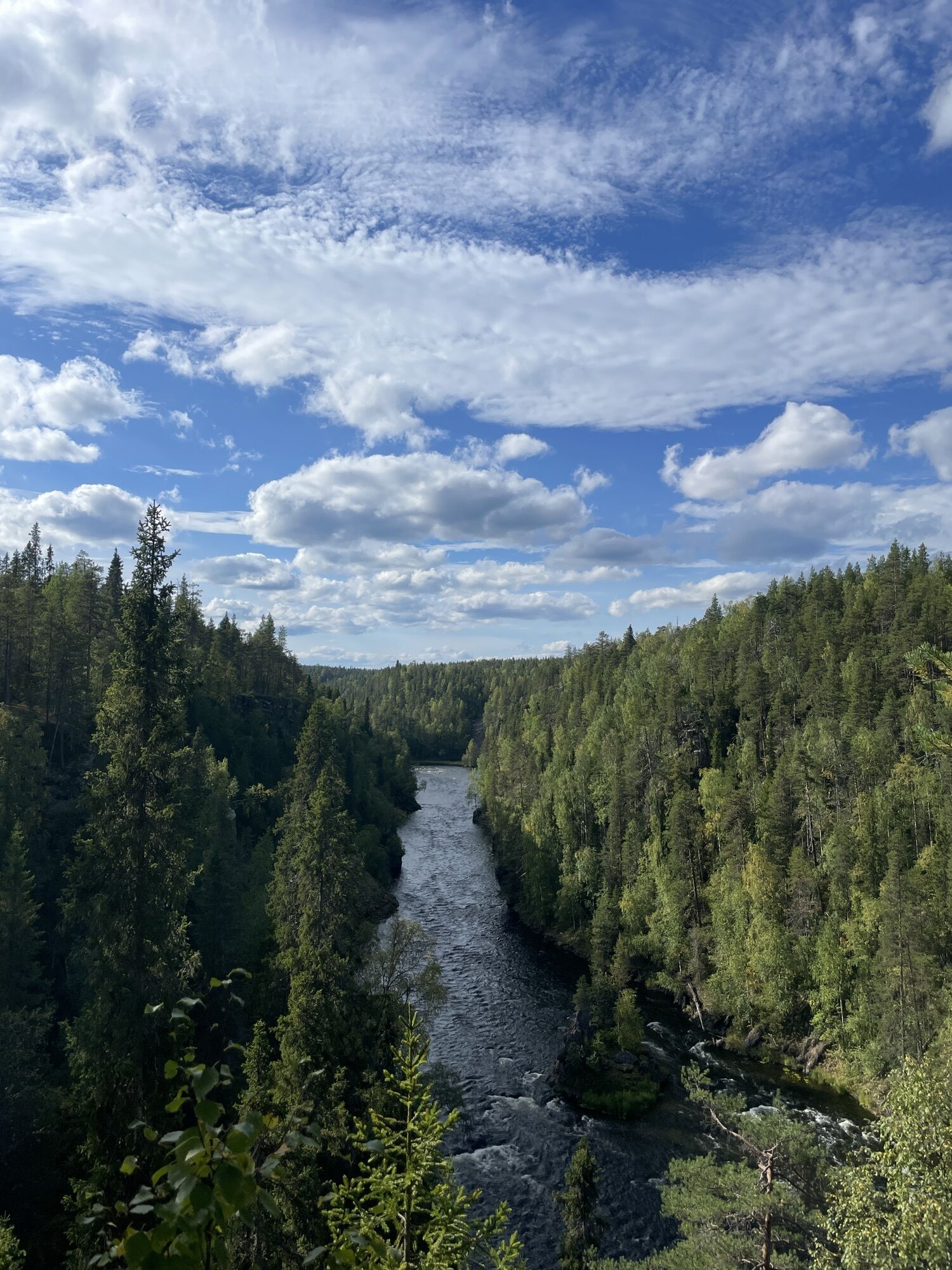
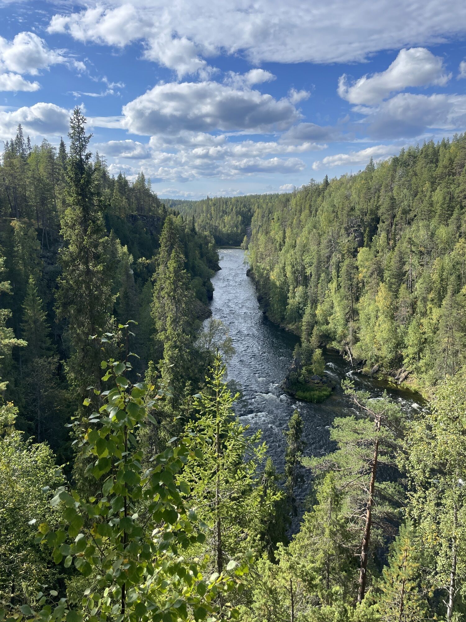
Jyrävä - Heinäniemi I-II : 1,5 km long Jyrävä-Heinäniemi route starts from a river in between high cliffs. Paddle down from the middle part while avoiding big rocks on the way. Getting ashore is difficult due to the high cliffs. There are a couple of bigger waves in Heinäkoski rapid before a sharp turn to the left.
Heinäniemi - Kalliosaari - Harrisuvanto I-II : This 800 m long river descends evenly, as it widens in Vattumutka, which after the rapid is rocky. Paddle down from the middle.
Harrisuvanto - Pähkänäkallio I : After Harrisuvanto, there are a couple of bigger waves, but besides that the rapids are flat (rocky at some points). Paddle down the mainstream which is usually on the outer curve. 2000 meters.
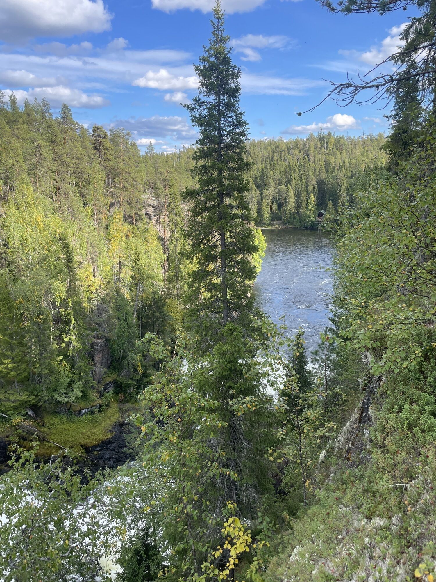
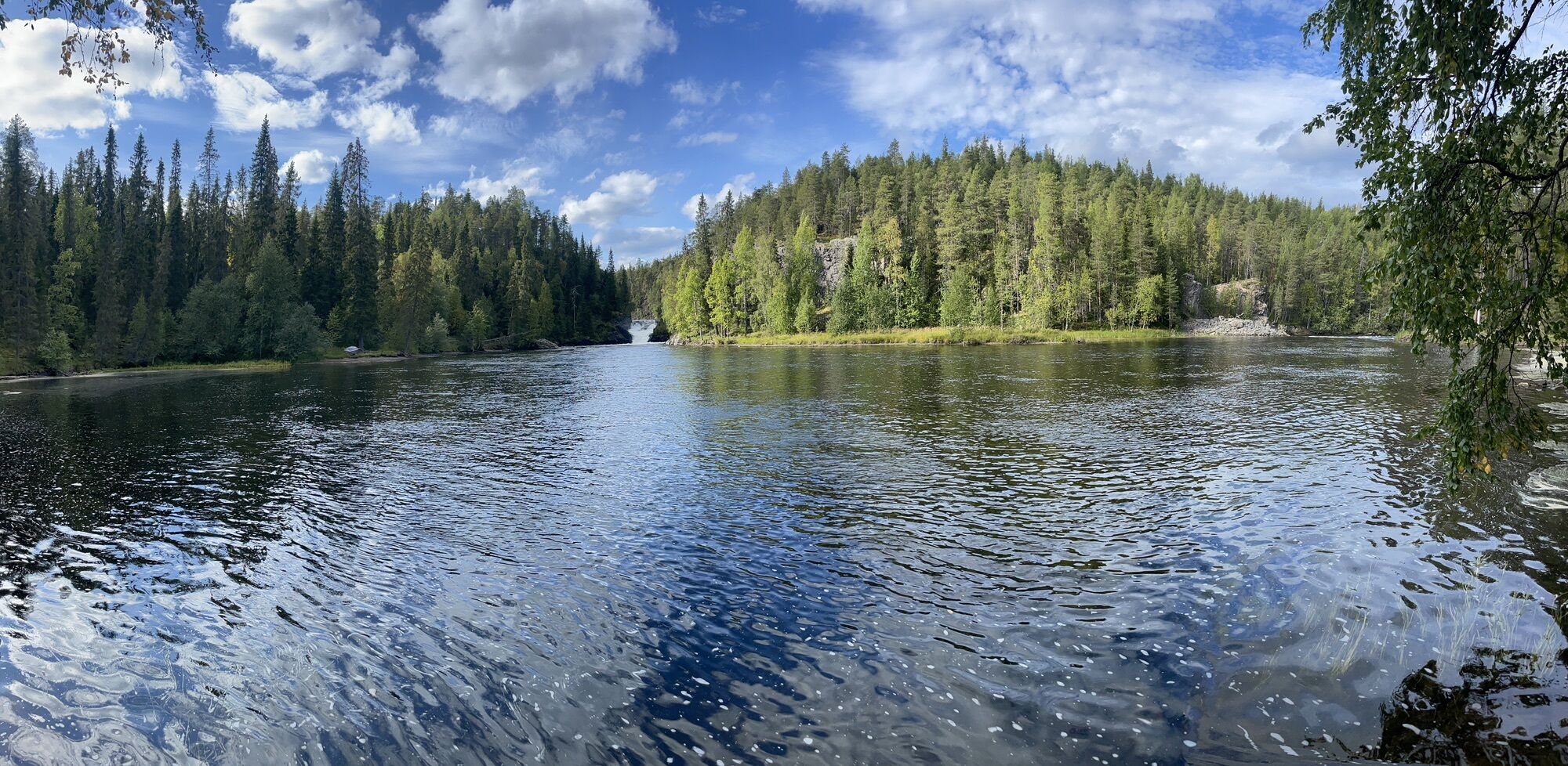
Pähkänäkallio - Oulankajoki : After Pähkänäkallio, the river flows through a beautiful valley mostly as a flat stream.
Helmet, lifejacket, canoe/kayak
Wear a helmet and a lifejacket at all times.
Drive from Kuusamo city center along Kemijärventie road (E63) until you see a sign on the right to Juuma village (Juumantie road). Drive 12 km all the way to the end of Juumantie road until you see the starting point of the Small Bear's trail and a parking lot.
Arriving to Kuusamo ruka.fi
Parking lot is located at the starting point of Small Bear's trail.
5
Guided rafting tours ruka.fi
Previous experience required on the route.
Obľúbené výlety v okolí
-
4,6
Pieni Karhunkierros Trail 12 km, Oulanka National Park
ťažkéTuristika 11,6 km -
5,0
Karhunkierros Hiking Trail 82 km, Oulanka National Park
ťažkédiaľková pešia trasa 80,8 km -
Pieni Karhunkierros Snowshoe Trail 12 km, Oulanka National Park
ťažkéSnežnice 11,9 km -
Oulanka Wilderness Trail 26 km, Oulanka National Park
ťažkéSkitour 25,6 km -
Mataraniemi–Jäkälämutka Canoeing Tour 25 km, Oulanka National Park
strednáKajak / Kanu 24,8 km -
Konttaisen kuhaus 2 km Winter Trail, Valtavaara-Pyhävaara Nature Reserve
strednáSnežnice 2 km -
Oulanka National Park
svetloTuristika 10,4 km -
Könkään kuohu Trail 100 m, Accessible, Oulanka National Park
strednáTuristika 0,22 km -
Konttaisen kuhaus Trail 2 km, Valtavaara-Pyhävaara Nature Reserve
strednáTuristika 2,02 km -
Paddling route Käylä - Juuma
strednáKajak / Kanu 13,6 km

Turistika a stopovanie


Nenechajte si ujsť ponuky a inšpiráciu na ďalšiu dovolenku
Vaša e-mailová adresa bol pridaný do poštového zoznamu.