Navigácia na stránke
Získajte túto prehliadku v mobilnom telefóne
Mapa
The Salt Routes: the Royal Route

ťažké
diaľková pešia trasa
127,56 km
Naskenujte kód QR a spustite navigáciu v aplikácii bergfex
QR Code
Turistika a stopovanie

The Salt Routes: the Royal Route
ťažké
diaľková pešia trasa
Vzdialenosť
127,6 km
Trvanie
49:15 h
Ascent
6 522 hm
Hladina mora
- m
Stiahnutie skladby
Mapa
The Salt Routes: the Royal Route
ťažké
diaľková pešia trasa
127,56 km

The Salt Routes project is the result of successful cross-border cooperation between territorial authorities, natural parks, and chambers of commerce from the Alpes-Maritimes, Piedmont, and Liguria.

Halfway...

Opis

The Salt Routes project is the result of successful cross-border cooperation between territorial authorities, natural parks, and chambers of commerce from the Alpes-Maritimes, Piedmont, and Liguria.

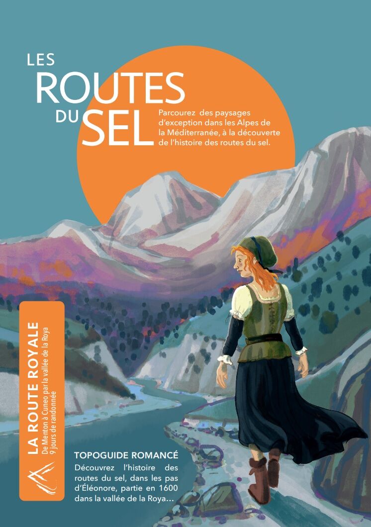
Halfway between hiking guide and novel, the three-volume collection "Pagarine Route", "Royal Route", "Smugglers Route" allows a playful discovery of this historical period, both faithful and fictional.

Through this original format, the Franco-Italian partners wanted to offer a different perspective on the close historical and cultural ties that unite this territory thanks to the support of passionate historians.

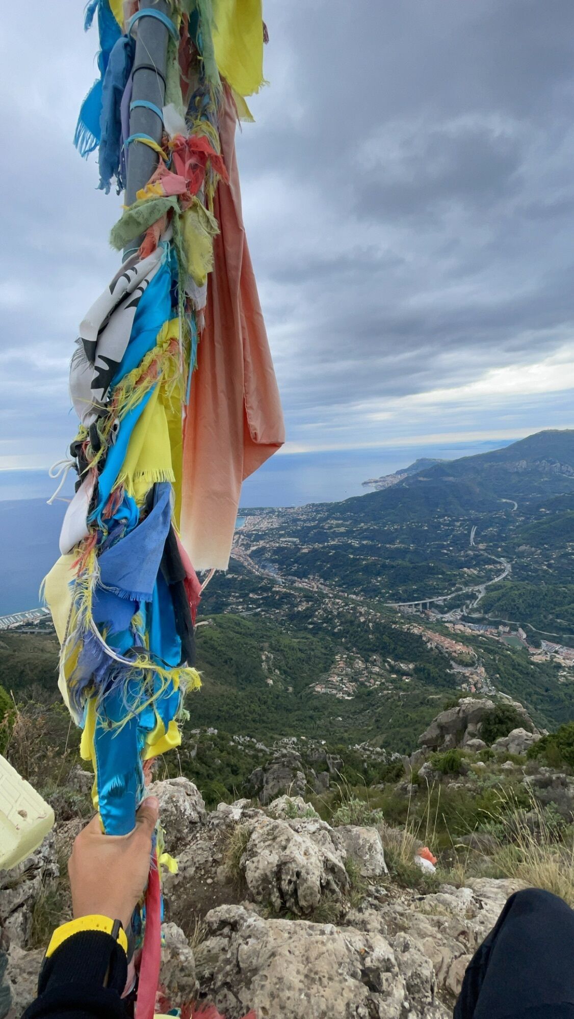
Walking these three hiking routes is an opportunity to discover the countless riches of the territory amidst magnificent landscapes between the Alps and the Mediterranean. Volume 2, from Menton to Cuneo, follows the traces of our fictional heroine Eleonore on the old Royal Route. It is available to view at this link.

This project is funded by the ALPIMED PATRIM project as part of the INTERREG ALCOTRA programme.

Trasa
Roc de l'Orméa
(1 132 m)
Summit
6,8 km
Baisse de Faïche Fonda
(969 m)
Horské sedlo
10,0 km
Chapelle des Pénitents Rouges
(535 m)
Miesto uctievania
42,5 km
Collégiale Saint-Martin
(764 m)
Miesto uctievania
57,4 km
Cime de Tavan
(1 912 m)
Summit
69,9 km
Cima di Francia
(1 421 m)
Summit
107,7 km
Santuario della Madonna della Medaglia Miracolosa
(571 m)
Miesto uctievania
121,8 km
Trasa
Mapa
The Salt Routes: the Royal Route
ťažké
diaľková pešia trasa
127,56 km
Menton
(5 m)
Mesto
0,0 km
Chapelle Saint-Jacques
(4 m)
Miesto uctievania
0,8 km
Garavan
(11 m)
Susedstvo
1,4 km
Menton - Garavan
(17 m)
Železničná stanica
1,5 km
Les Colombières
(113 m)
Koridor/terén
2,1 km
Monieri-Ouest
(219 m)
Koridor/terén
3,2 km
Pian de Leuze
(735 m)
Koridor/terén
5,2 km
Plan du Lion
(720 m)
Horské sedlo
5,4 km
Roc de l'Orméa
(1 132 m)
Summit
6,8 km
Cime de Restaud
(1 148 m)
Summit
7,0 km
Mourga
(820 m)
Koridor/terén
9,1 km
Baisse de Faïche Fonda
(969 m)
Horské sedlo
10,0 km
Colla Bassa
(1 108 m)
Horské sedlo
11,1 km
L'Albaréa
(635 m)
Koridor/terén
15,7 km
Sospel
(346 m)
Dedina
18,4 km
St.-Gervais
(325 m)
Koridor/terén
20,2 km
Caï Pastoris
(322 m)
Koridor/terén
23,0 km
Olivetta
(276 m)
Dedina
24,5 km
San-Gerolamo
(520 m)
Koridor/terén
26,0 km
Piene Haute
(575 m)
Zúčtovanie
27,6 km
Bancao
(378 m)
Koridor/terén
31,4 km
Breil-sur-Roya
(285 m)
Dedina
33,5 km
Église Santa-Maria-in-Albis
(287 m)
Miesto uctievania
33,6 km
La Pinède
(421 m)
Zúčtovanie
34,7 km
Brasserie Le Heinz
(515 m)
Reštaurácia
42,5 km
Chapelle des Pénitents Rouges
(535 m)
Miesto uctievania
42,5 km
Église Saint-Sauveur
(532 m)
Miesto uctievania
42,5 km
La petite épicerie
(530 m)
Reštaurácia
42,6 km
Répentia
(567 m)
Susedstvo
42,7 km
Saorge
(541 m)
Dedina
42,7 km
Fontan - Saorge
(449 m)
Železničná stanica
45,3 km
Fontan
(415 m)
Dedina
46,1 km
Merlo
(705 m)
Koridor/terén
51,2 km
Vallon de Neuciora
(794 m)
Koridor/terén
53,1 km
Saint-Dalmas-de-Tende
(684 m)
Dedina
55,2 km
La Brigue
(770 m)
Dedina
57,3 km
Chapelle supérieure de l'Annonciation
(770 m)
Miesto uctievania
57,4 km
Collégiale Saint-Martin
(764 m)
Miesto uctievania
57,4 km
La Pizzeria Brigasque
(771 m)
Reštaurácia
57,4 km
Chapelle inférieure de l'Assomption
(760 m)
Miesto uctievania
57,5 km
Fleur des Alpes
(756 m)
Reštaurácia
57,5 km
Auberge Saint Martin
(759 m)
Reštaurácia
57,6 km
Chapelle de l'Annonciade
(809 m)
Miesto uctievania
63,2 km
La Margueria
(817 m)
Reštaurácia
63,5 km
Tende
(815 m)
Dedina
63,6 km
Cime de Tavan
(1 912 m)
Summit
69,9 km
Limonetto
(1 287 m)
Dedina
78,3 km
Tetti Mecci
(1 115 m)
Dedina
81,2 km
Fantino
(1 052 m)
Susedstvo
81,9 km
Limone Piemonte
(984 m)
Dedina
83,4 km
San Secondo
(1 009 m)
Miesto uctievania
83,5 km
Casali Barat
(1 067 m)
Susedstvo
84,3 km
L'Agrifoglio Agriturismo
(957 m)
Reštaurácia
91,0 km
Park Hotel
(797 m)
Reštaurácia
97,6 km
Vernante
(801 m)
Železničná stanica
97,7 km
Fontana Magister
(1 165 m)
Zdroj
101,3 km
Rocca Alta
(1 487 m)
Summit
105,5 km
Cima di Francia
(1 421 m)
Summit
107,7 km
Bec du Corn
(1 322 m)
Uhol pohľadu
108,2 km
Boves
(587 m)
Dedina
116,9 km
Monastero Santa Chiara
(586 m)
Miesto uctievania
117,1 km
Sala del Regno
(585 m)
Miesto uctievania
117,3 km
Chiesa della Santissima Trinità
(585 m)
Miesto uctievania
117,4 km
Santuario della Madonna della Medaglia Miracolosa
(571 m)
Miesto uctievania
121,8 km
Osteria di Mellana
(571 m)
Reštaurácia
121,8 km
Mellana
(572 m)
Zúčtovanie
121,9 km
Cuneo
(534 m)
Mesto
127,5 km
Informácie o prehliadke

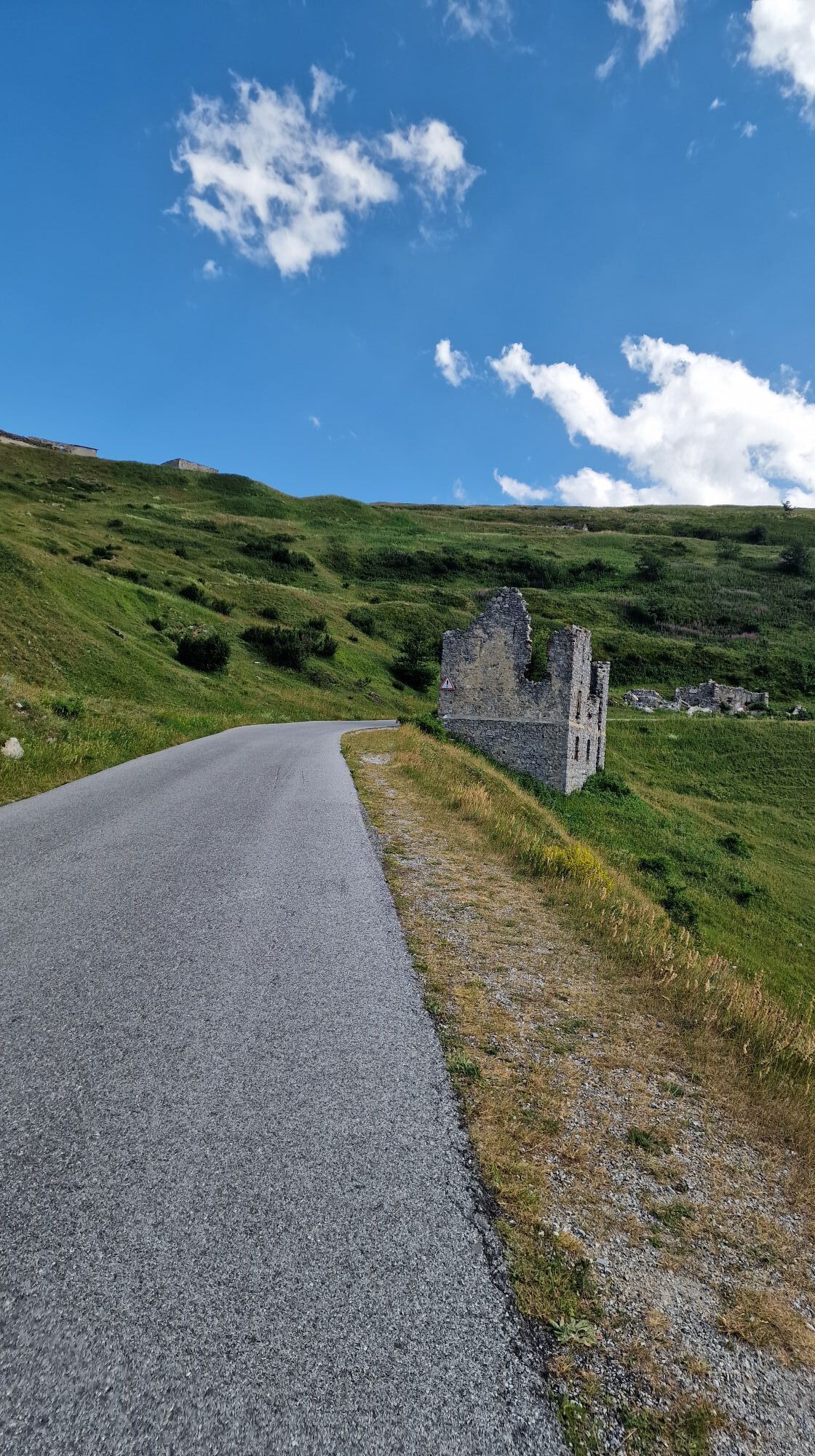
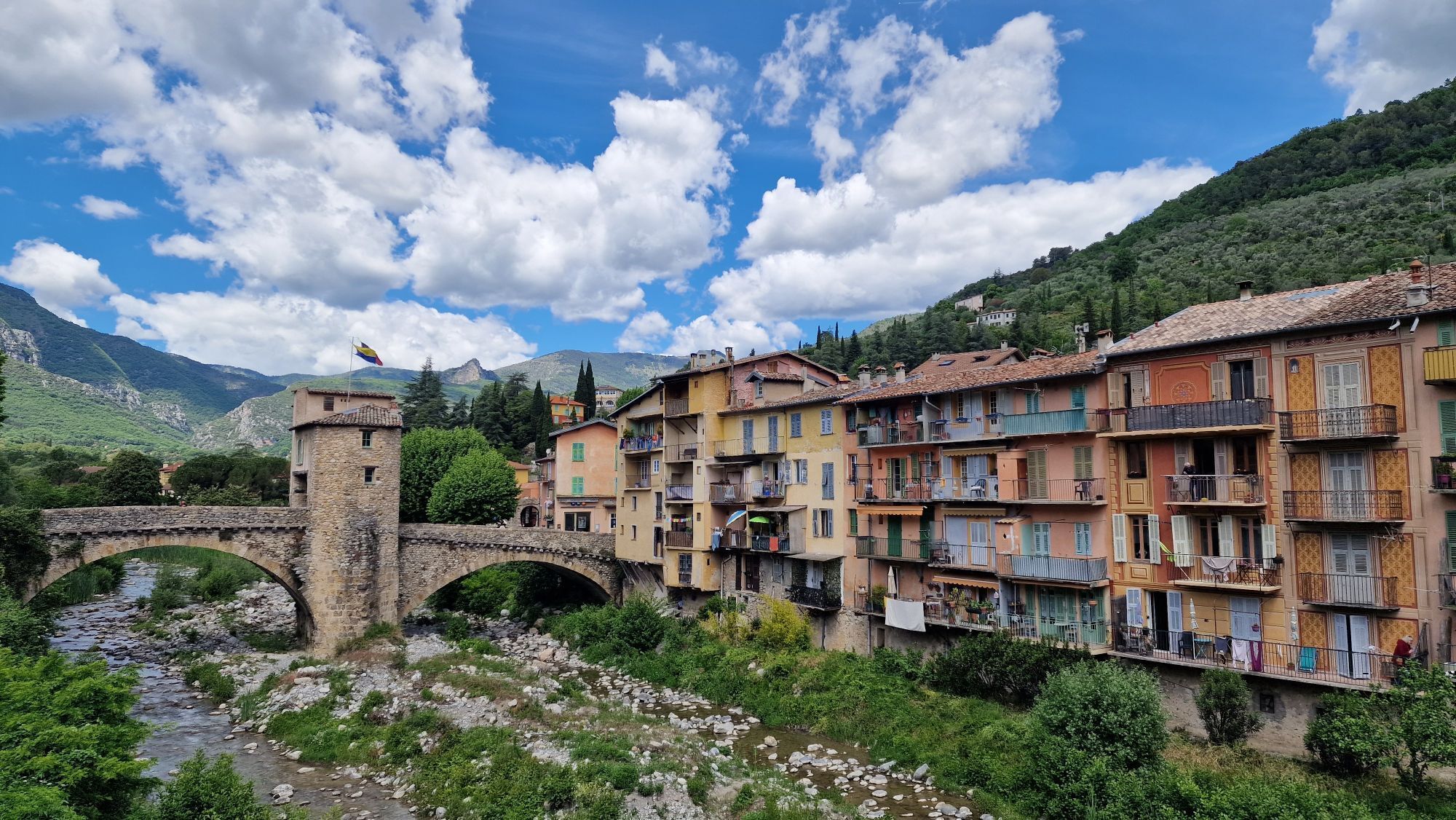
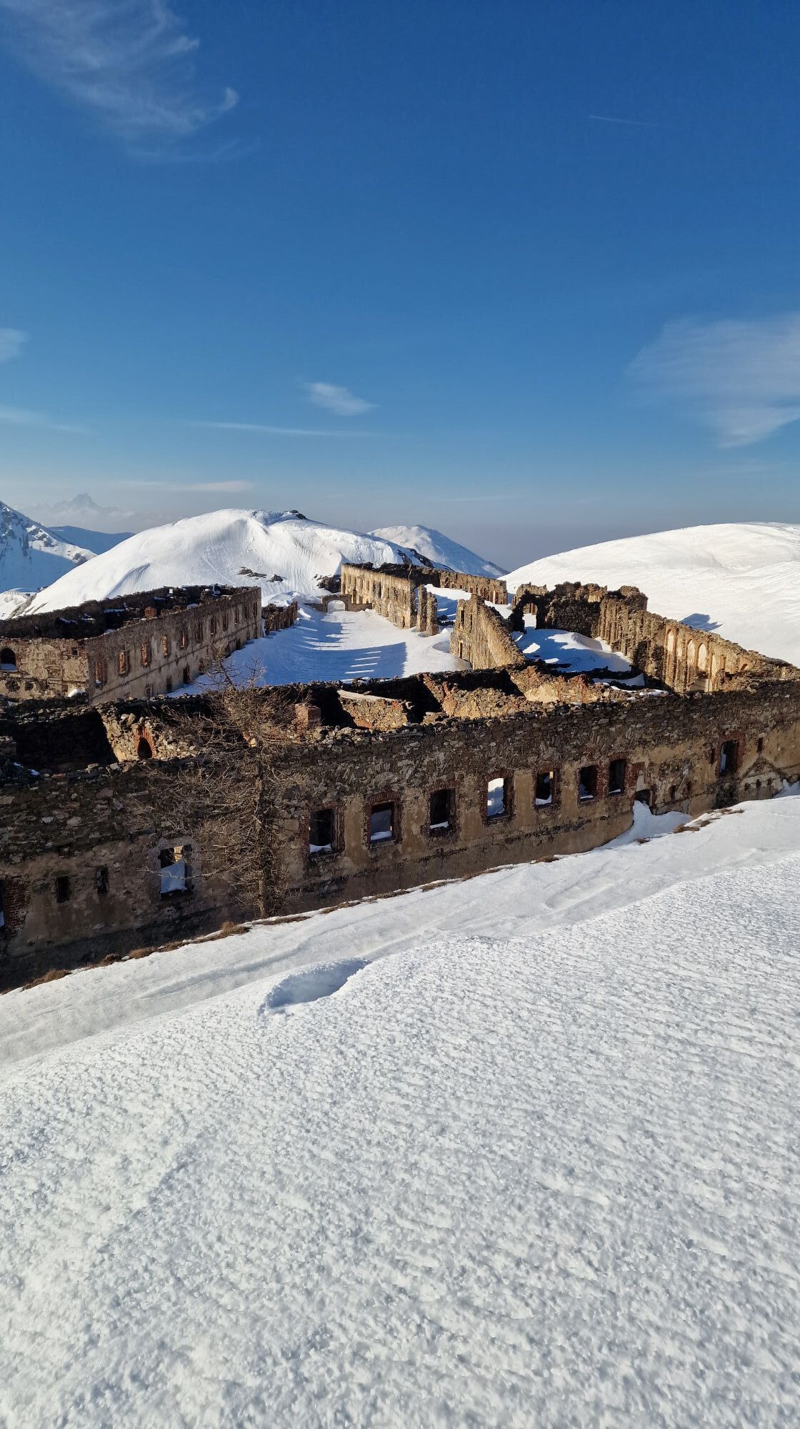
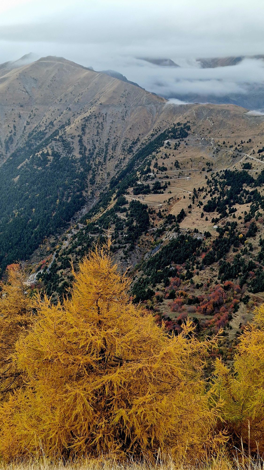
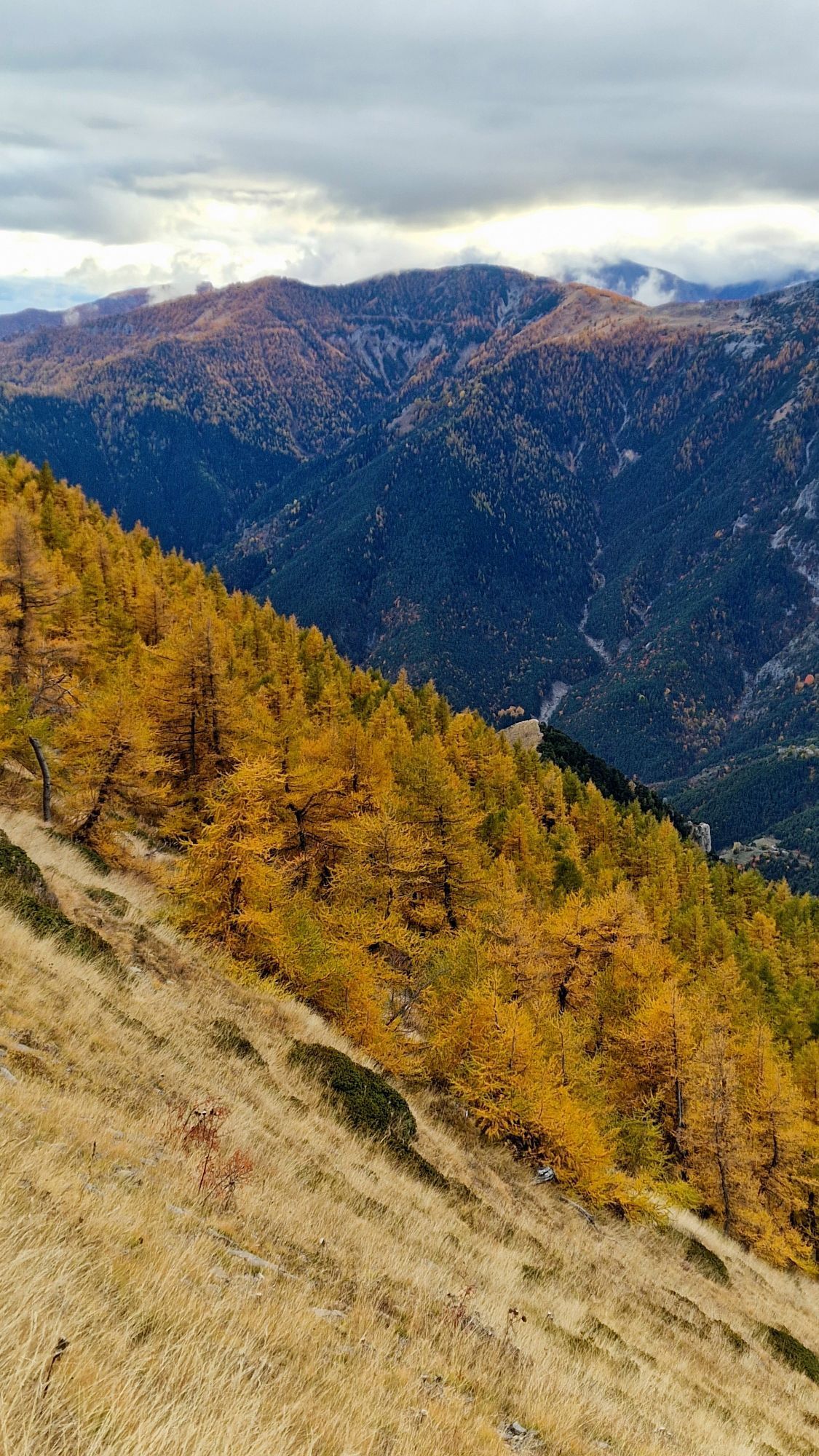
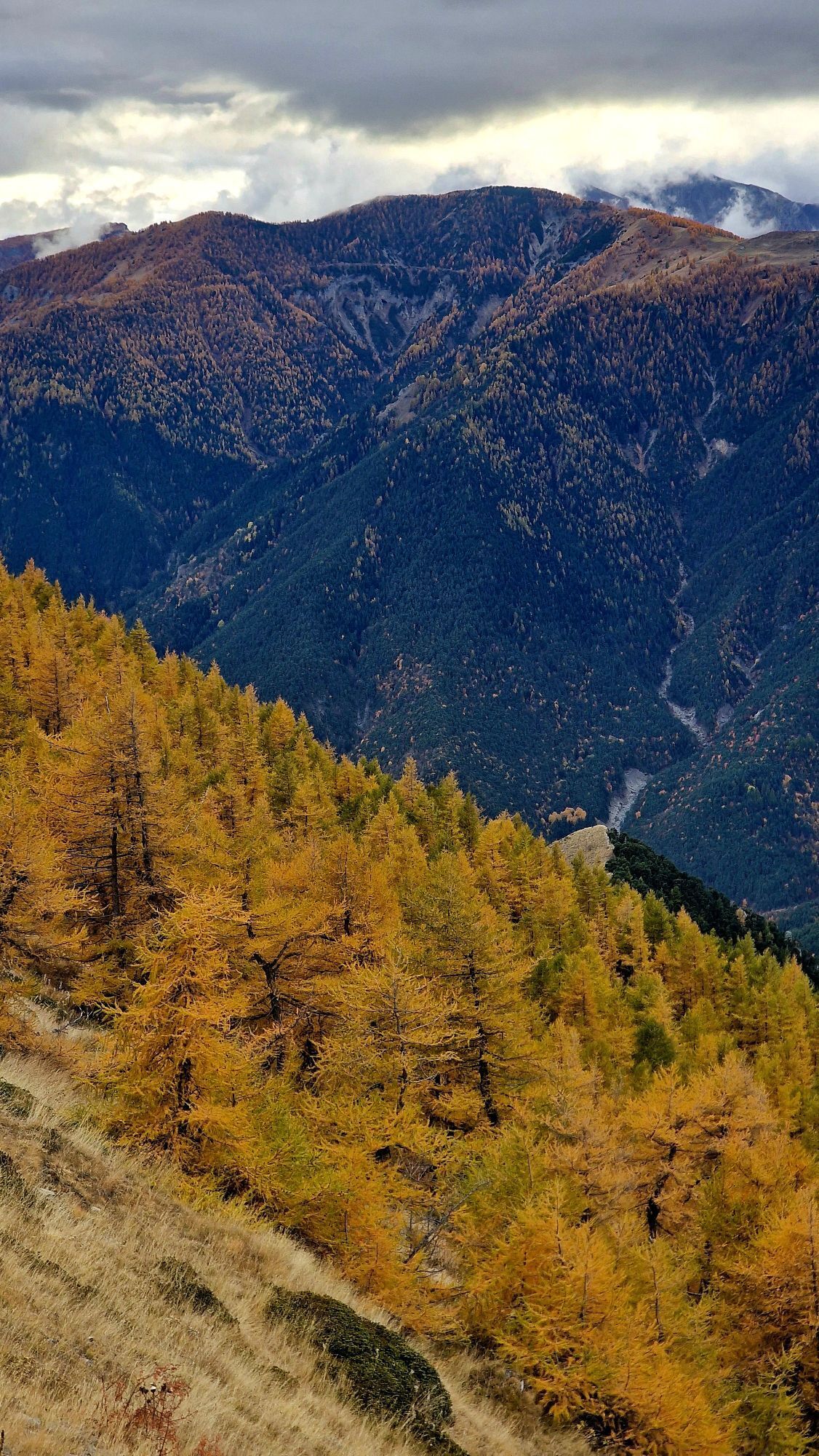
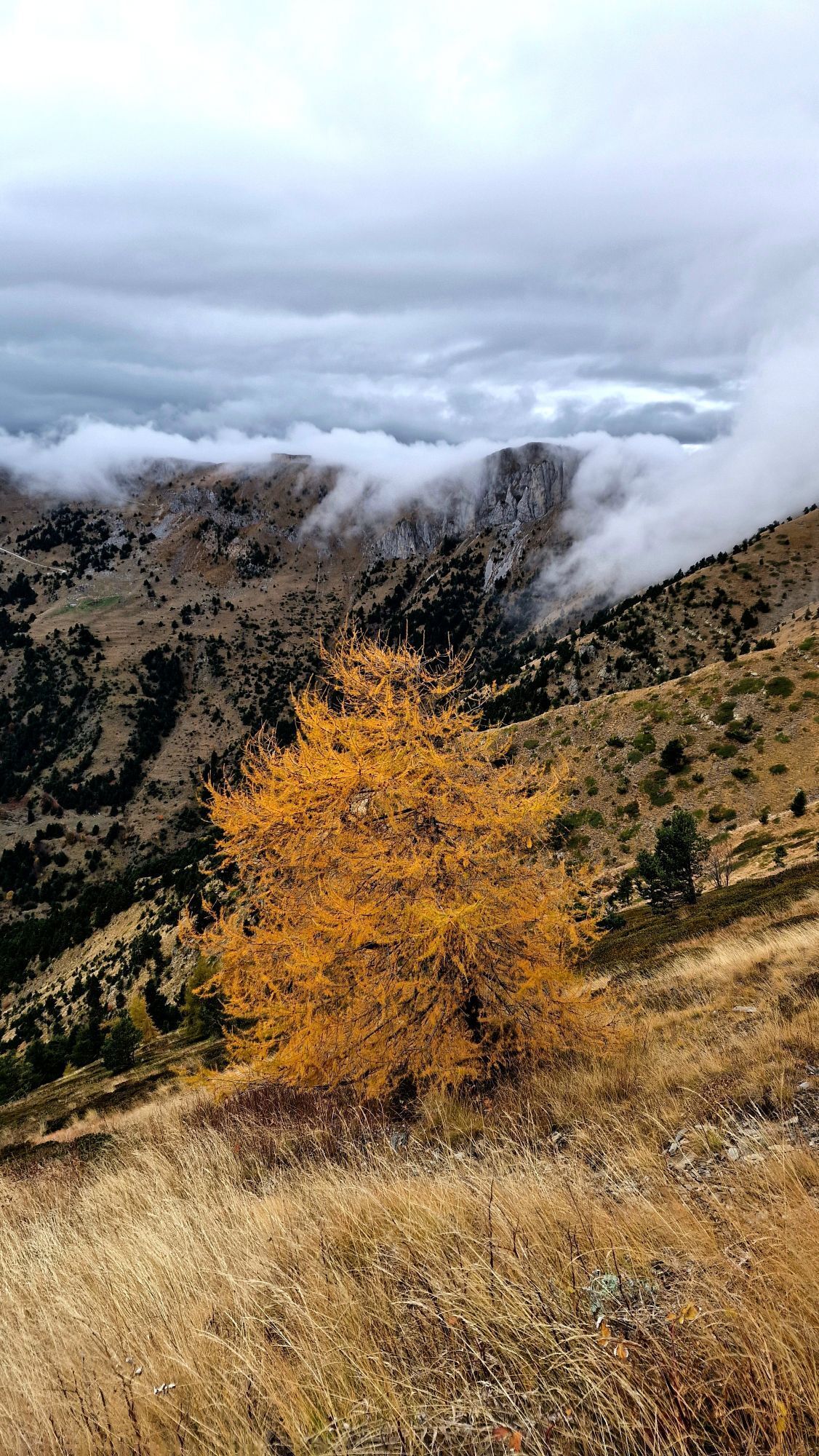
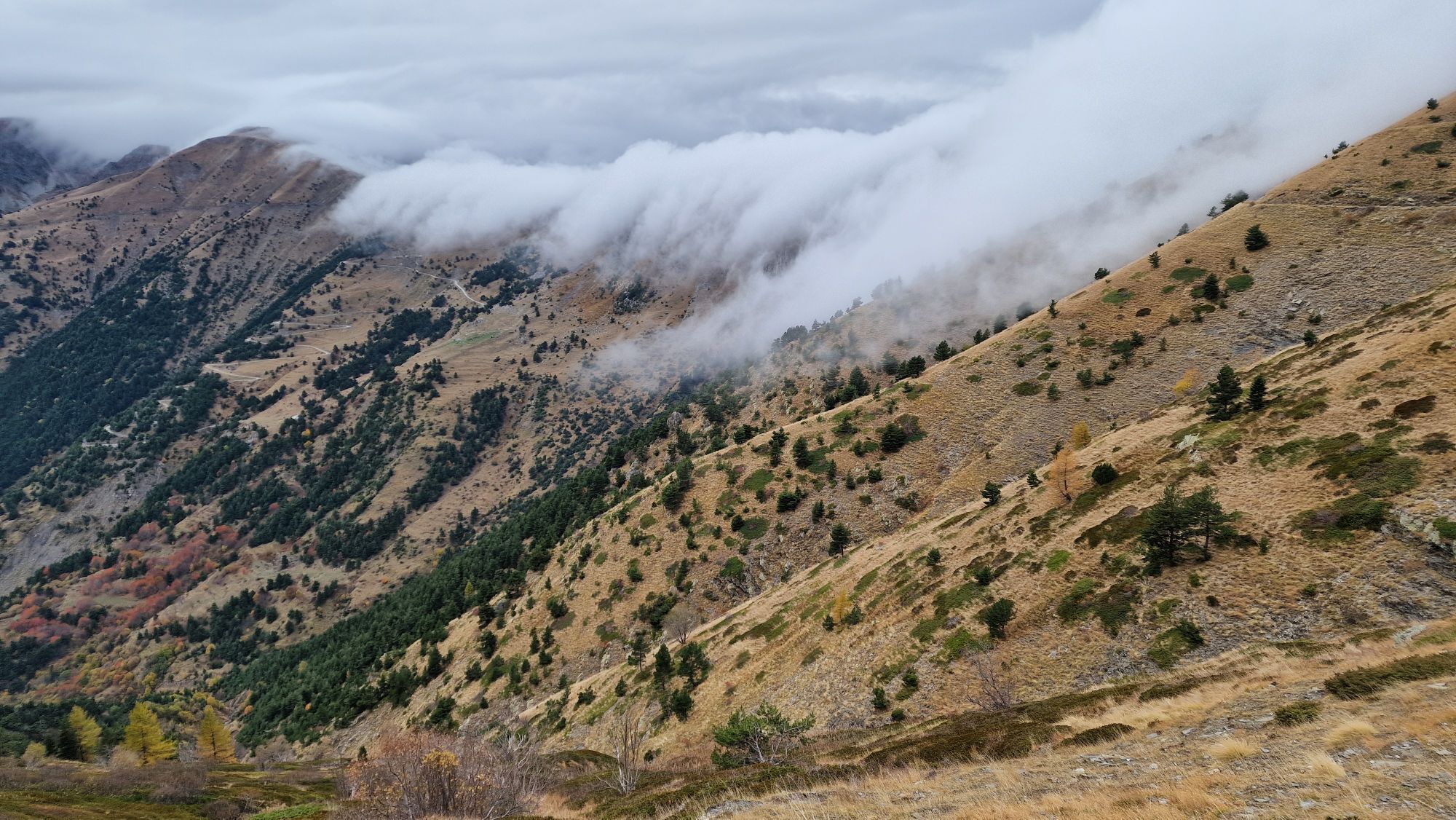
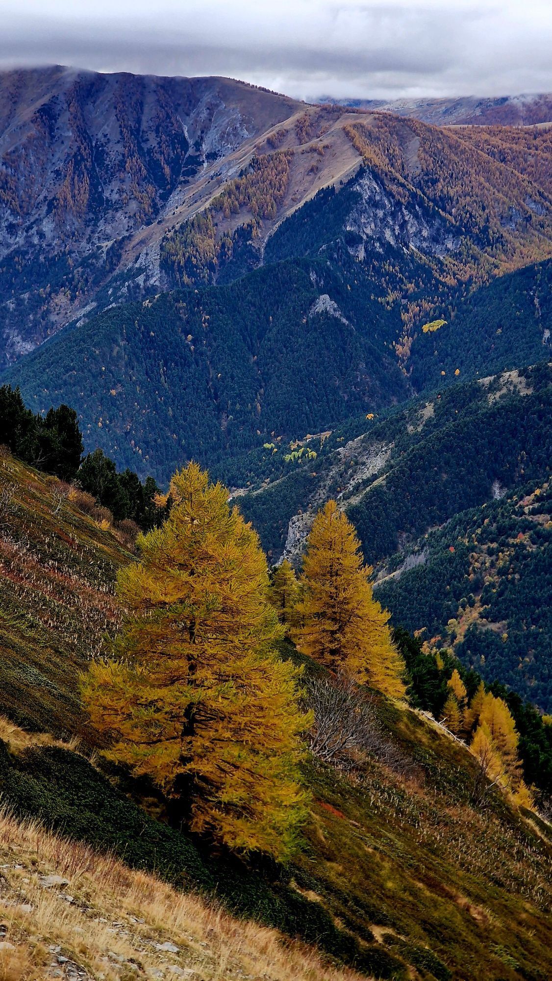
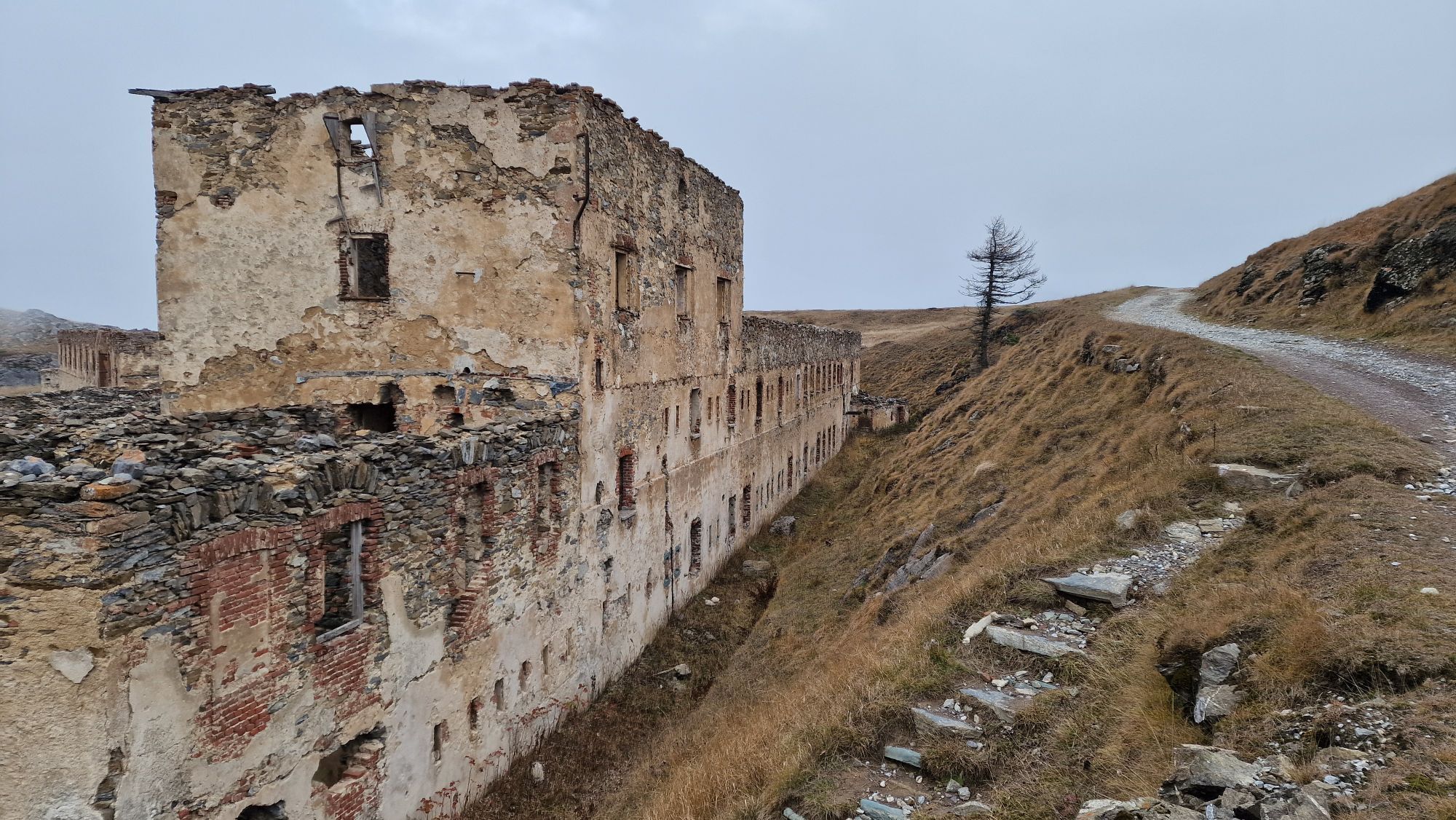
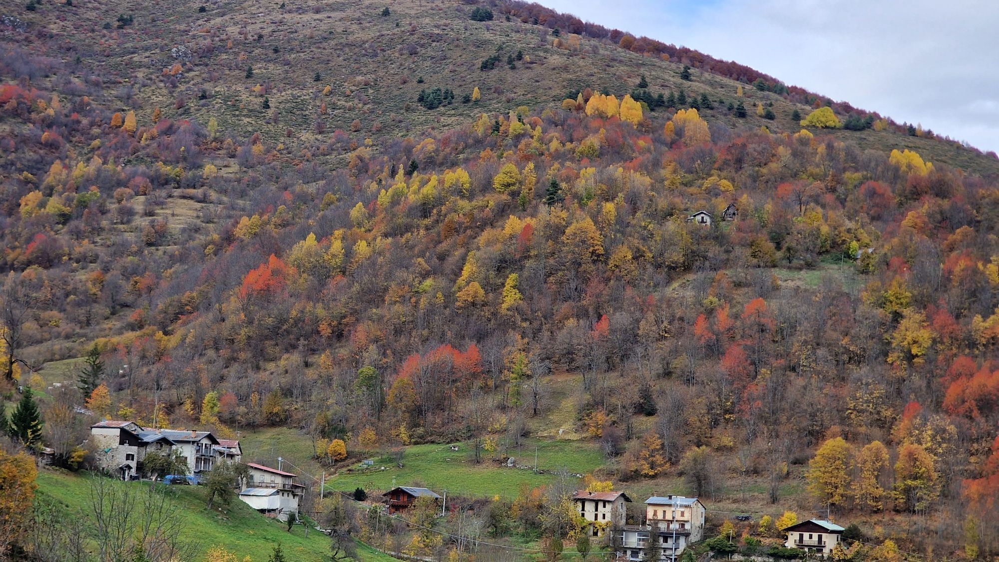
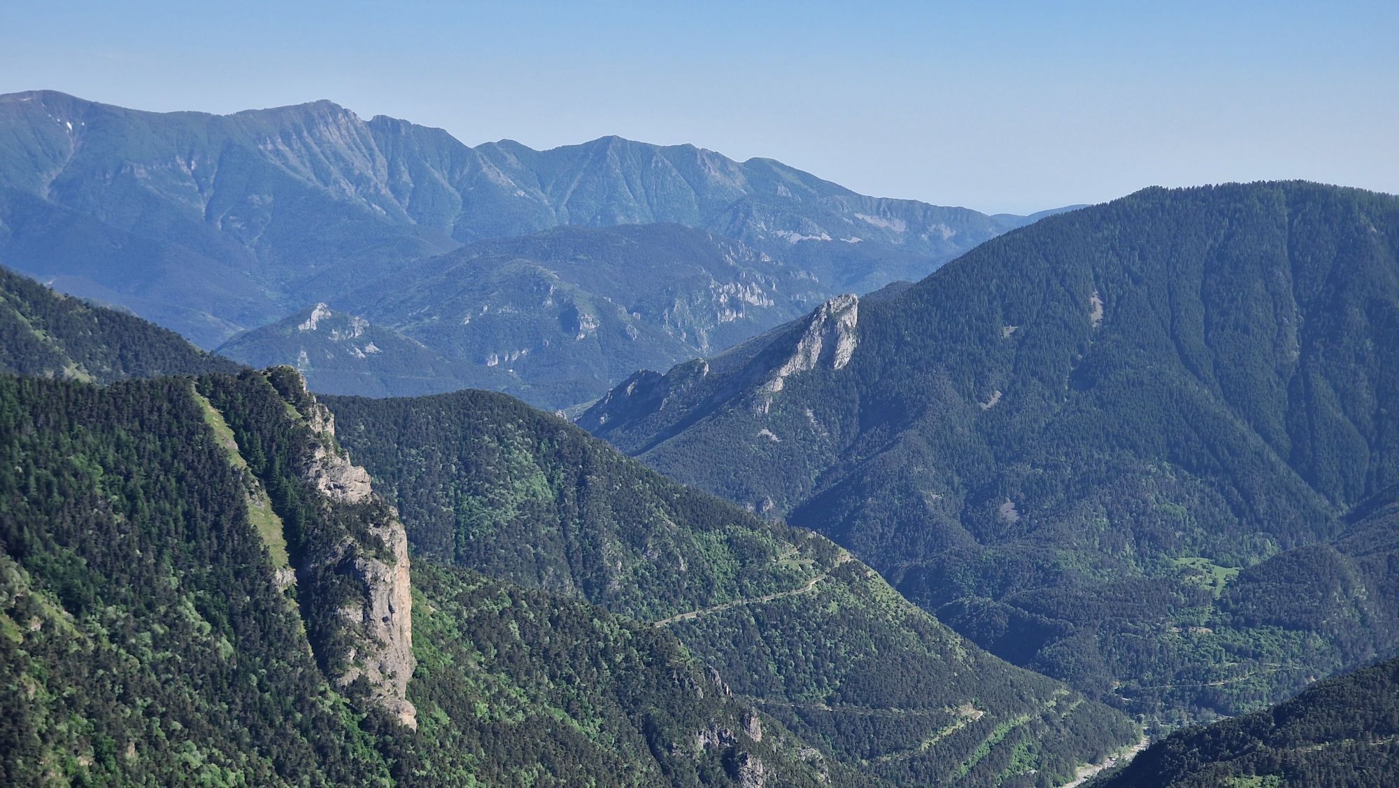
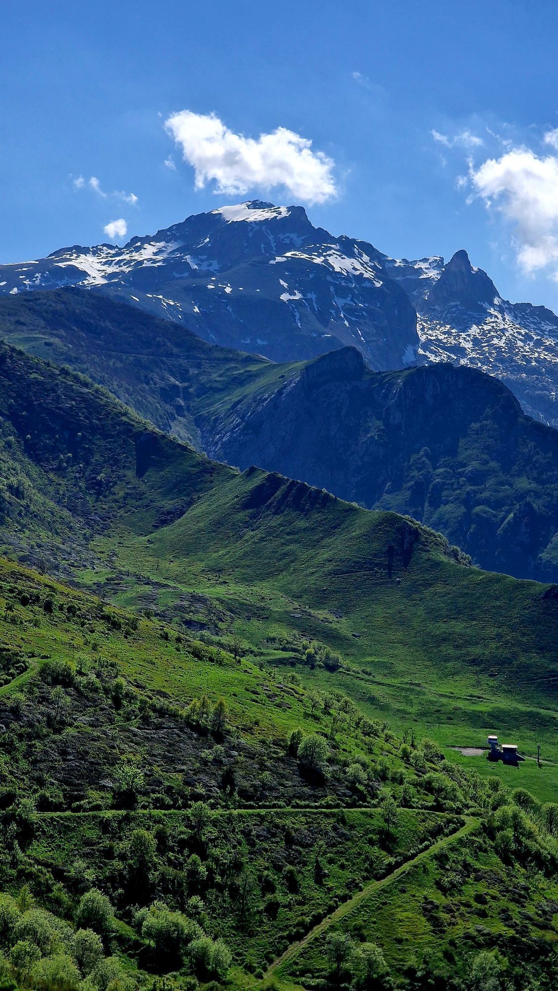
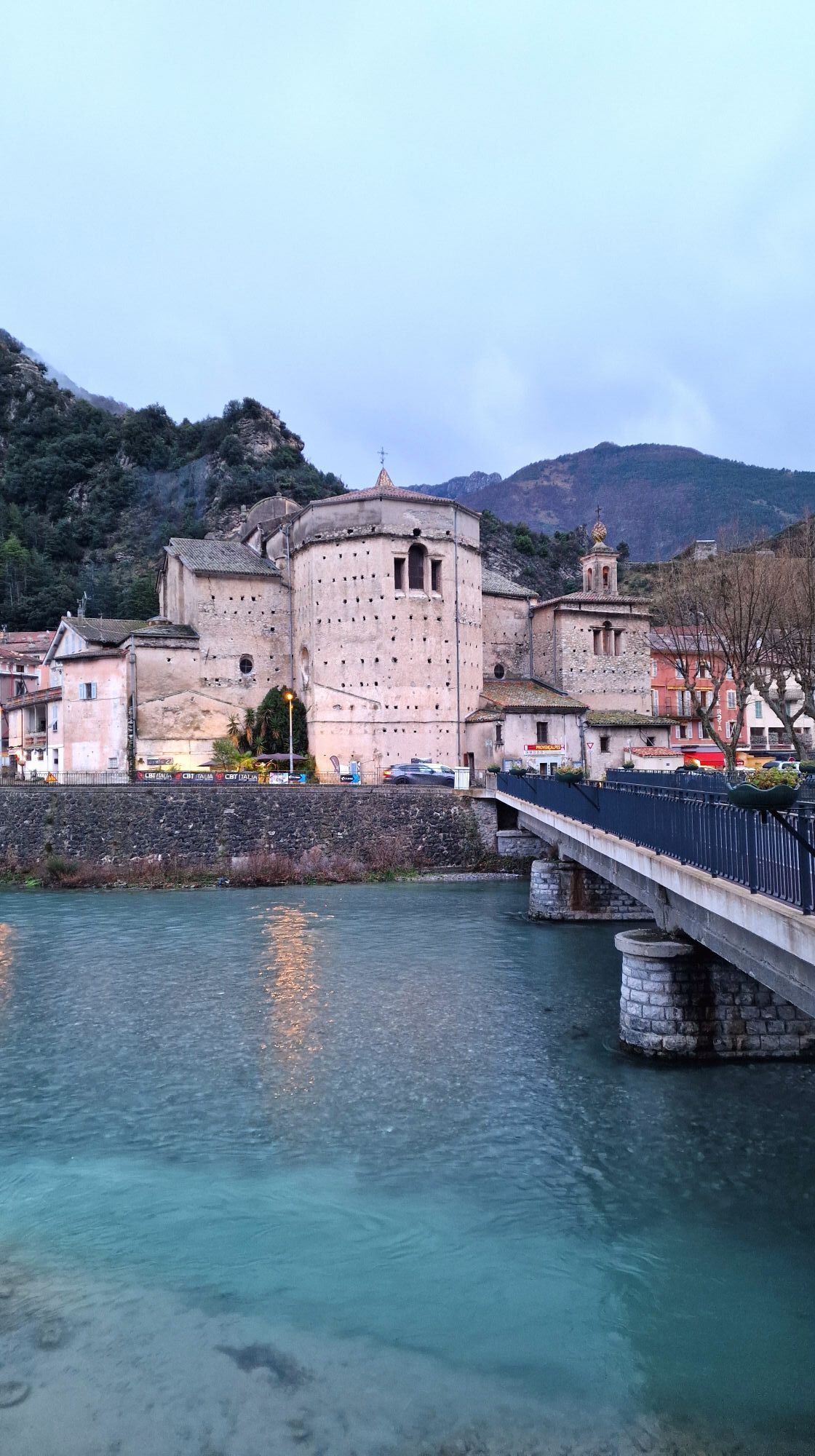
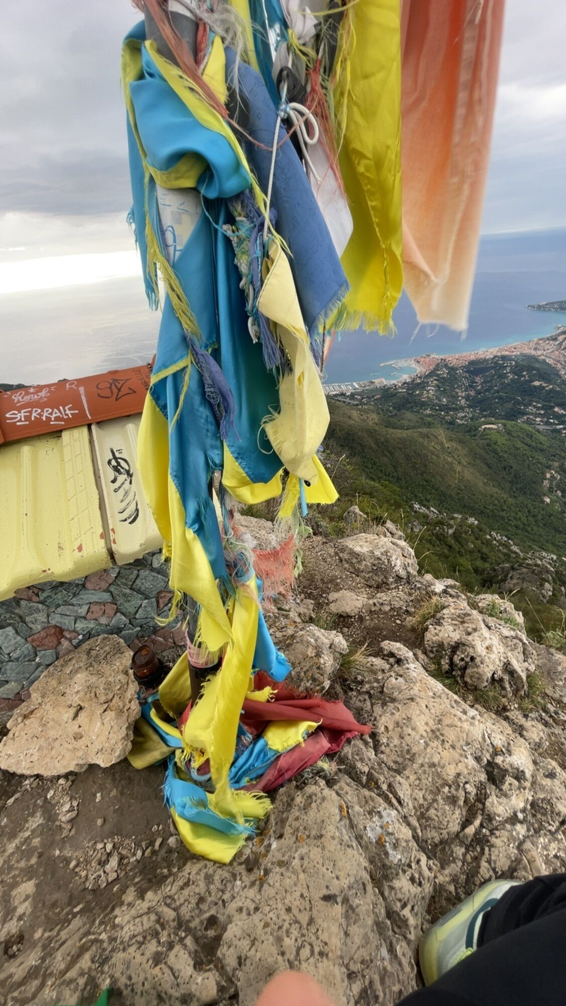
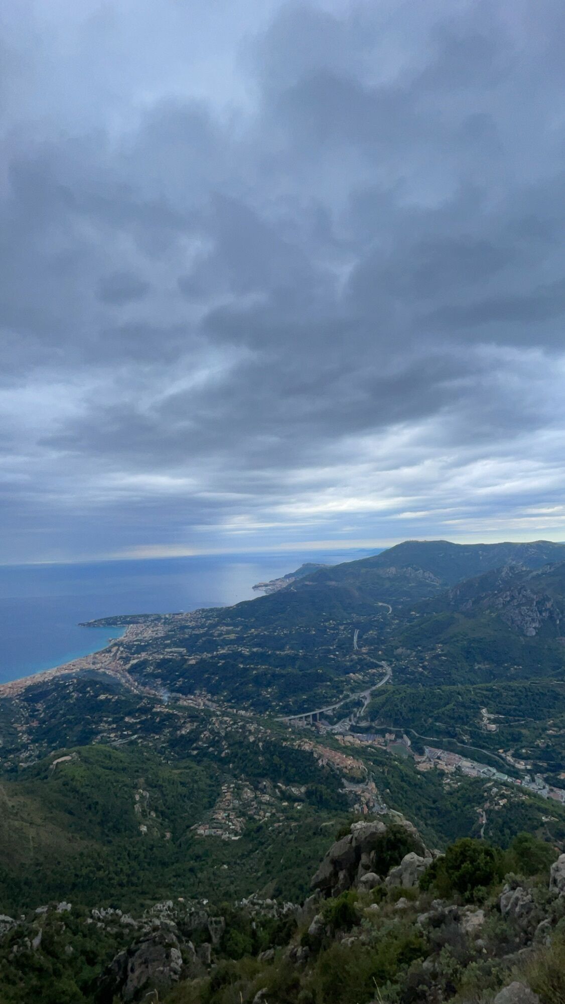
The Franco-Italian hiking route "the Royal Route" connects Menton to Cuneo in 9 stages, passing through the Roya valley, the Mercantour National Park, the legendary Tende Pass, and the Alpi Marittime Park. It is based on the historical salt routes and invites you to discover the countless riches of the territory amidst magnificent landscapes between the Alps and the Mediterranean.

Technológia
n.a.
Stav
6 / 6
Krajina
6 / 6
Skúsenosti
5 / 6
Najlepšie ročné obdobie
Jan
Feb
Mar
Apr
Máj
Jún
Júl
Aug
Sep
Okt
Nov
Dec
Zdieľať prehliadku
Mapa
The Salt Routes: the Royal Route
ťažké
diaľková pešia trasa
127,56 km
Chyba
Vyskytla sa chyba. Prosím, skúste to znova.
Informácie o trase
Trasa

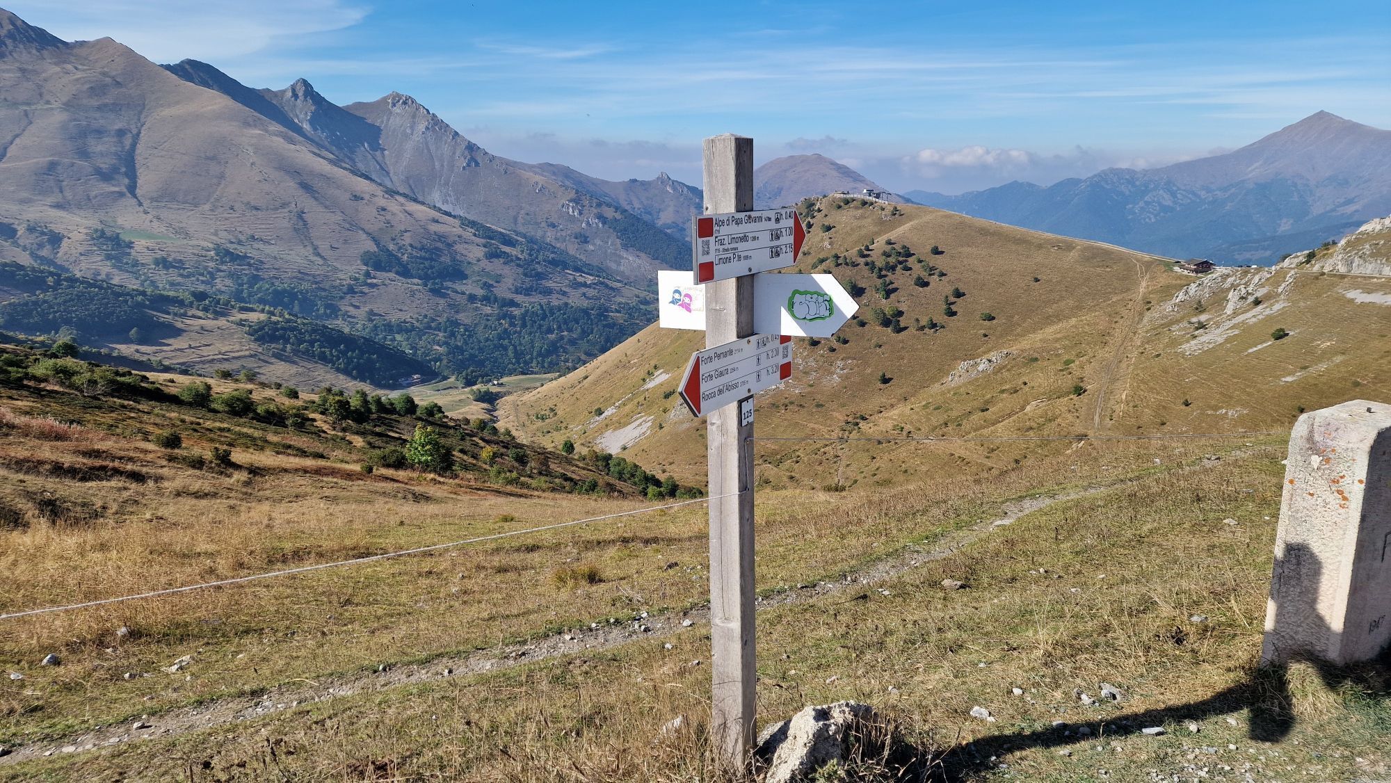
Specific waymarking is placed on the hiking posts with the "Route du sel" logo.

Geologické zaujímavosti

Áno

Prehliadka vrcholu

Áno

Zariadenie

Suitable hiking shoes are strongly recommended
Bring water, a cap, provisions, a waterproof and warm garment
A flashlight or headlamp in case of passing through a tunnel or to avoid being caught by nightfall
A first aid kit

Bezpečnostné pokyny

In case of emergency, dial 112

Informácie o príchode
Príchod

By train on the Grasse-Cannes-Nice-Ventimiglia line. Connection from Nice Côte d'Azur airport to Nice Saint-Augustin train station.

By car from the A8 motorway.

Verejná doprava

The route starts in the town centre of Menton, easily accessible by train from Menton station. Public transport within the French Riviera Agglomeration Community is provided by the ZEST network zestbus.fr From Sospel to Cuneo, it is also possible to take the Train of Wonders. The return can be made by the same train line towards Nice or Ventimiglia. Timetables and information on trenitlia.com and sncf-connect.com.

Ďalšie informácie a tipy
Ďalšie informácie

The route has been designed to offer you accommodation and dining options at each stage. Remember to book before your departure! To learn more about the available services in the area, you can contact the tourist offices.

Menton Riviera & Merveilles Tourist Office

menton-riviera-merveilles.fr

+33 4 83 93 70 20

Azienda Turistica Locale del Cuneese

visitcuneese.it

+39 0171 690217

Tipy

The novel-guide created for this route is part of a three-volume collection themed on the Salt Routes:

The Pagarine Route from Nice to Cuneo

The Royal Route from Menton to Cuneo
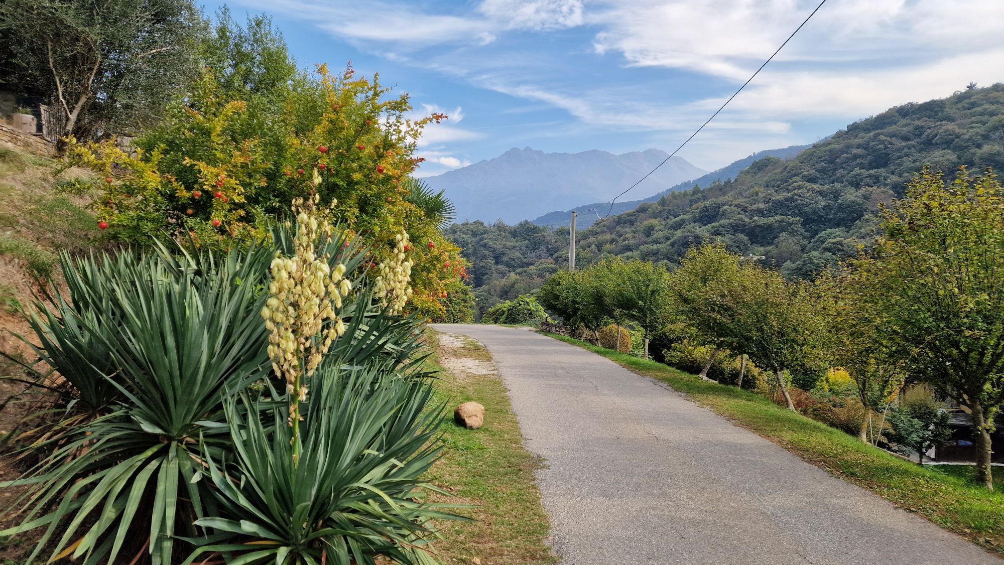
The Smugglers Route from Imperia to Mondovì

Turistika a stopovanie

Turistika a stopovanie

Turistika a stopovanie
Viac ako 550.000 návrhov výletov, podrobné mapy a intuitívny plánovač trás robia z aplikácie povinnú výbavu pre všetkých nadšencov prírody.
bergfex