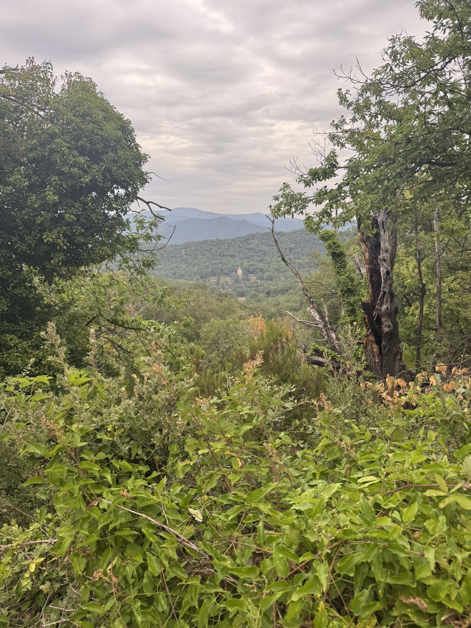
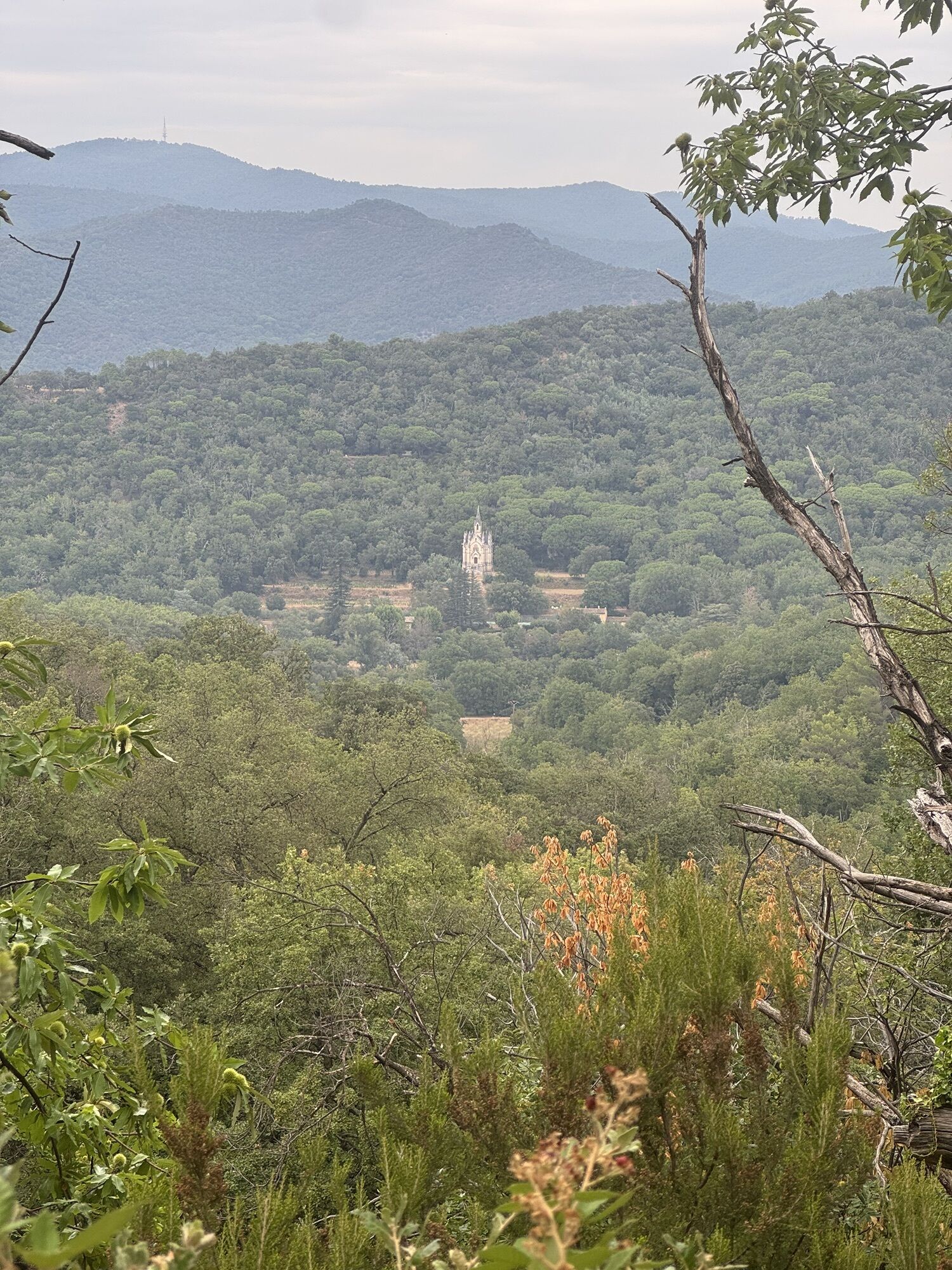
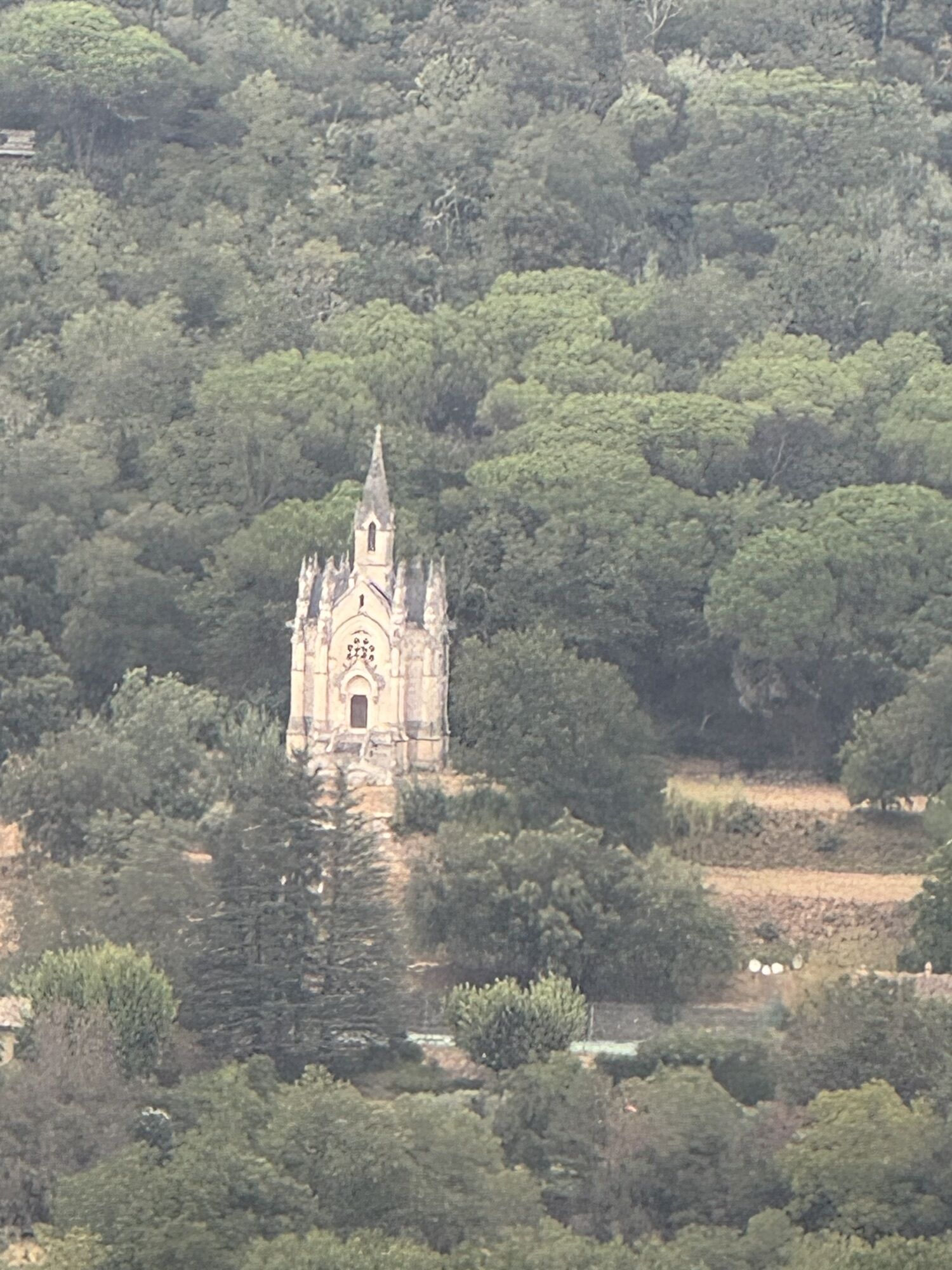
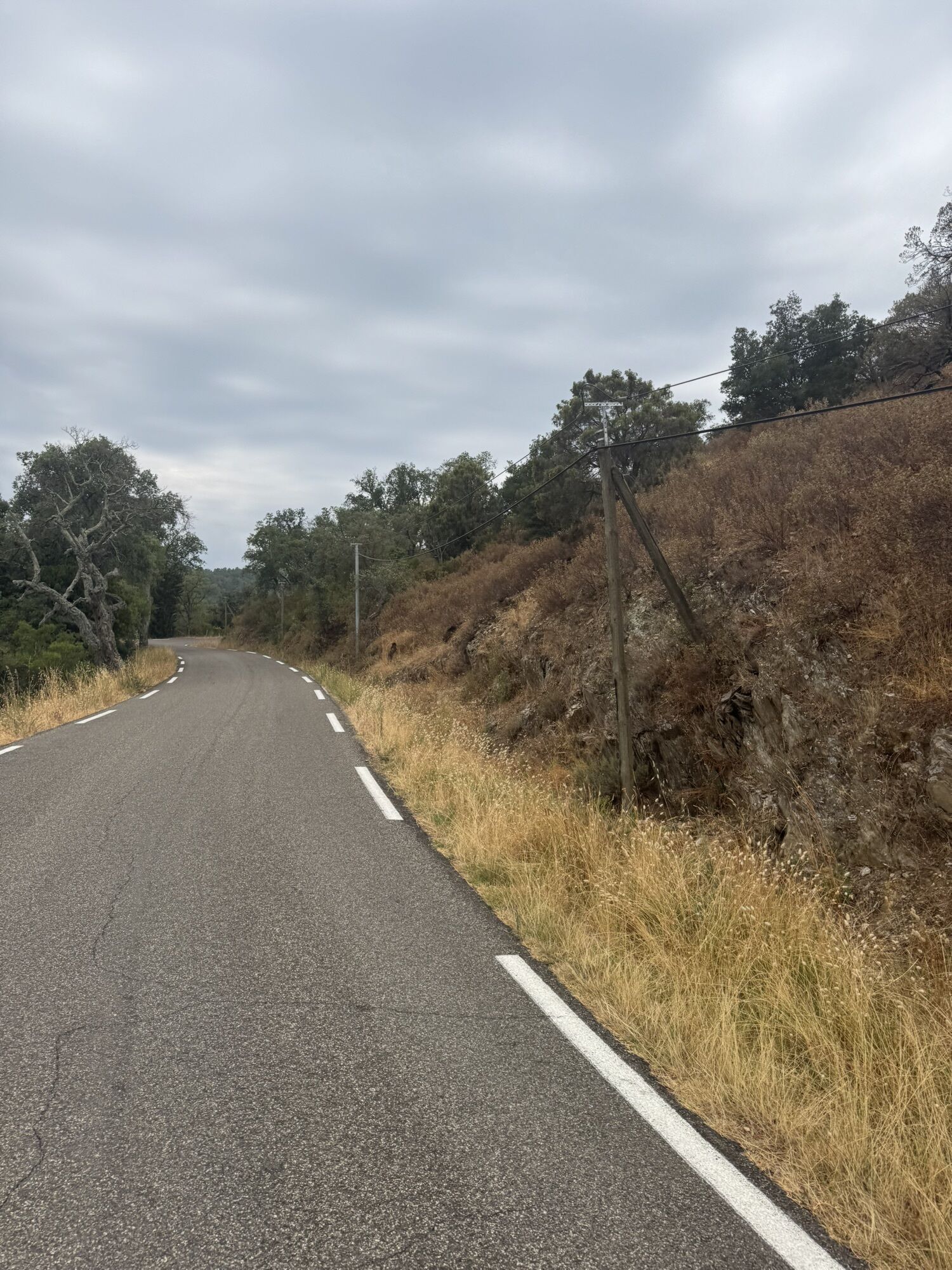
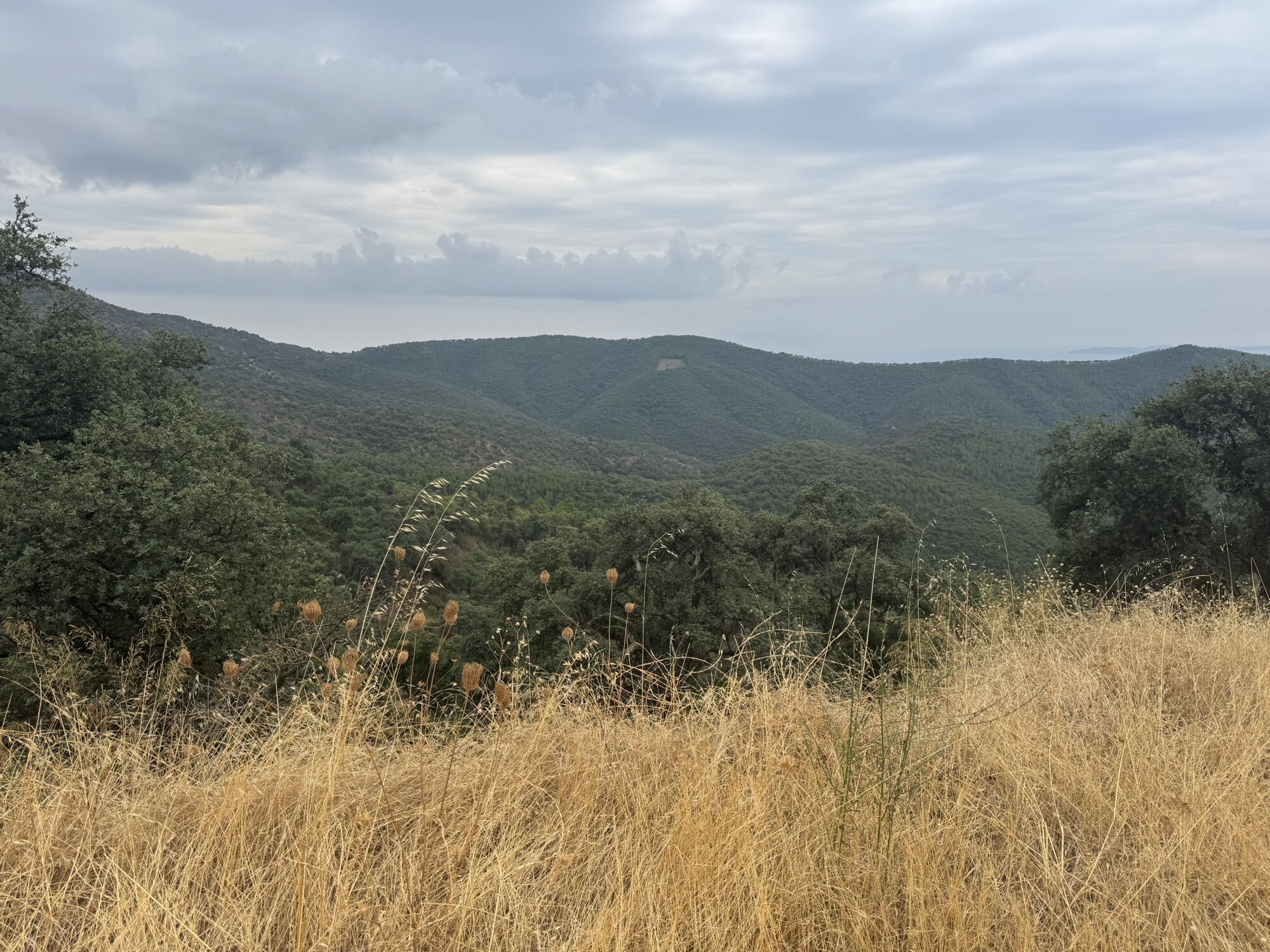
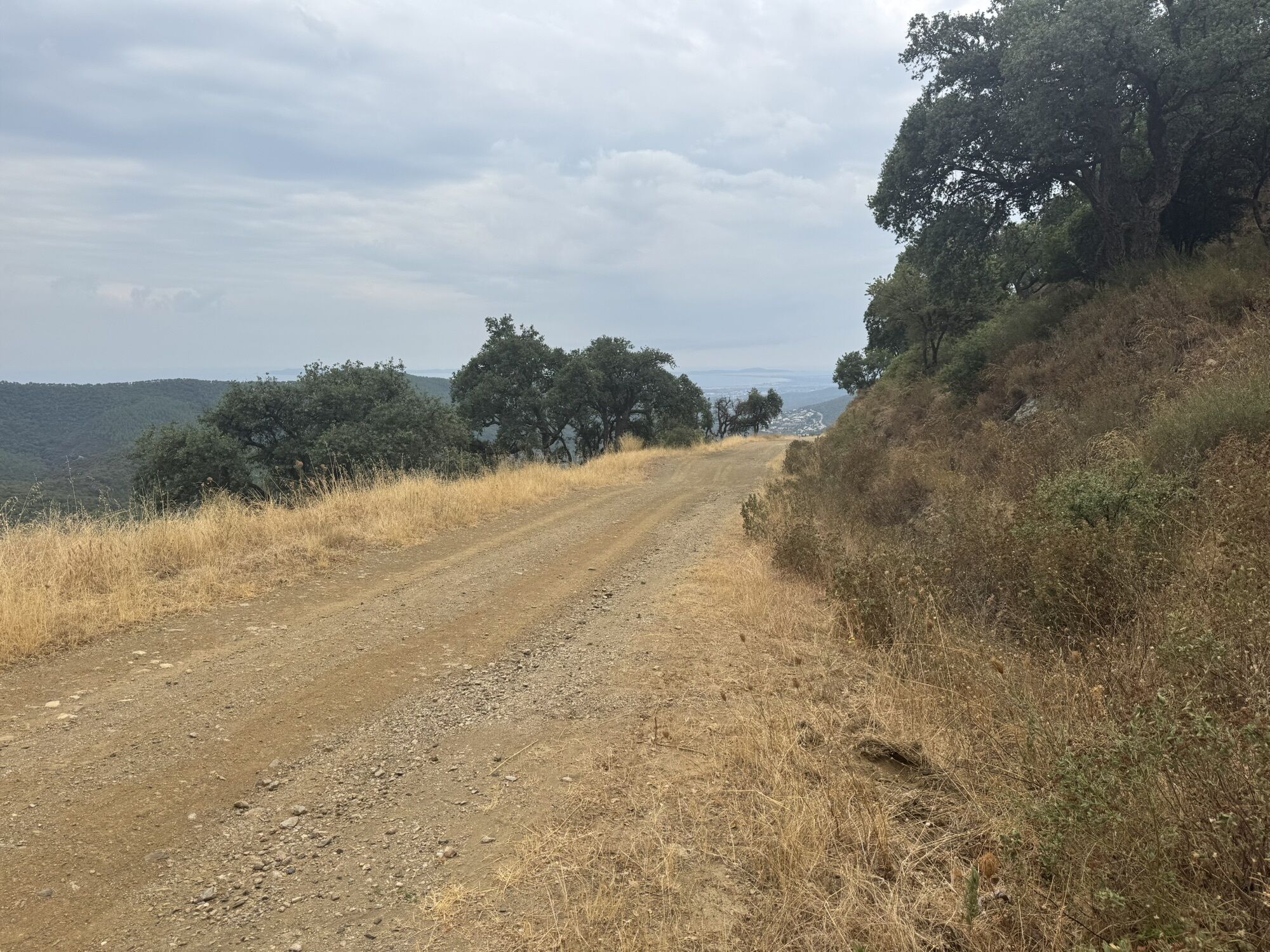
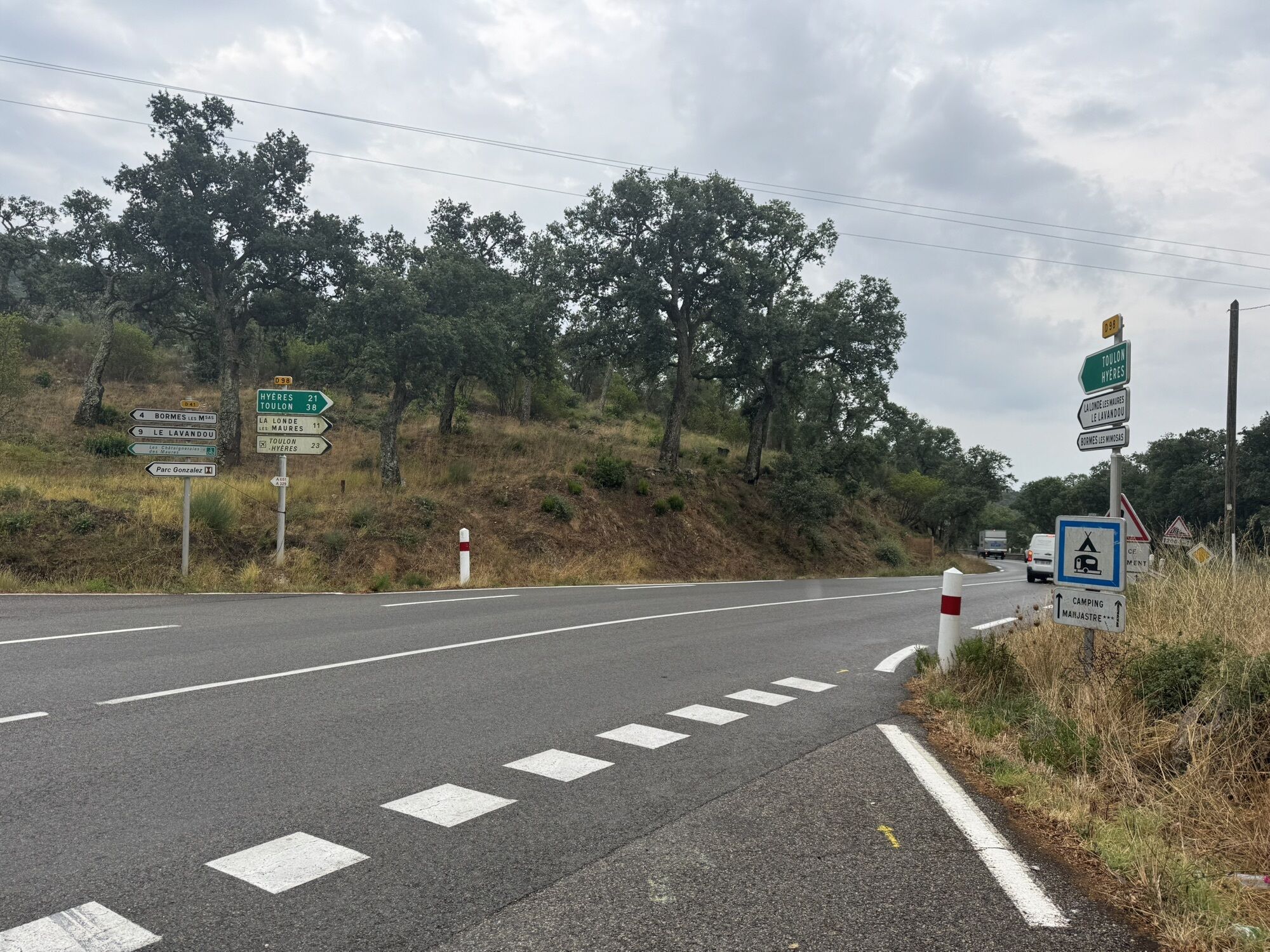
La Londe des Maures - Col de Babaou
stredná
Navigácia na stránke
Navigácia na stránke
Získajte túto prehliadku v mobilnom telefóne
La Londe des Maures - Col de Babaou
stredná
Cyklistika
46,18
km
Naskenujte kód QR a spustite navigáciu v aplikácii bergfex

Turistika a stopovanie


La Londe des Maures - Col de Babaou
stredná
Vzdialenosť
46,18
km
Trvanie
02:12
h
Ascent
585
hm
Hladina mora
21 -
416
m
Stiahnutie skladby
La Londe des Maures - Col de Babaou
stredná
Cyklistika
46,18
km
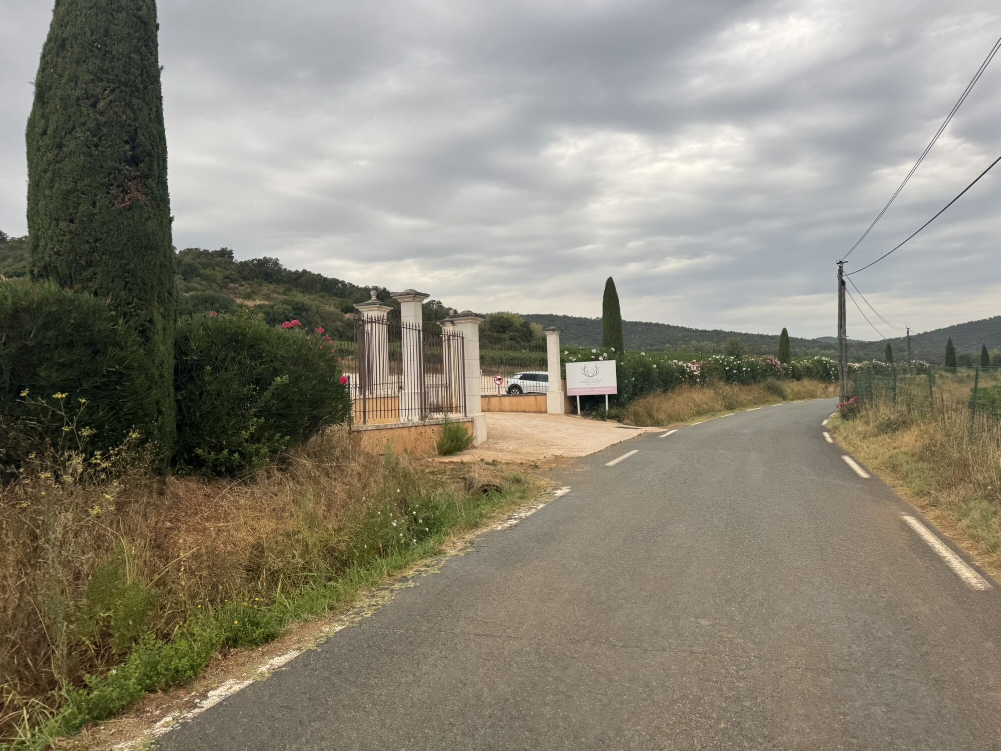
Nice round trip that you can conduct by parking somewhere in La Londe.
Trasa
La Londe-les-Maures
(20 m)
Mesto
0,2 km
Col du Gambet
(192 m)
Horské sedlo
9,8 km
L'Avelan
(332 m)
Zúčtovanie
24,2 km
Col de la Mouillère d'Aubet
(217 m)
Horské sedlo
33,1 km
Manjastre
(82 m)
Zúčtovanie
36,6 km
La Verrerie
(112 m)
Susedstvo
38,5 km
La Londe-les-Maures
(20 m)
Mesto
44,4 km
Trasa
La Londe des Maures - Col de Babaou
stredná
Cyklistika
46,18
km

Informácie o trase
Trasa
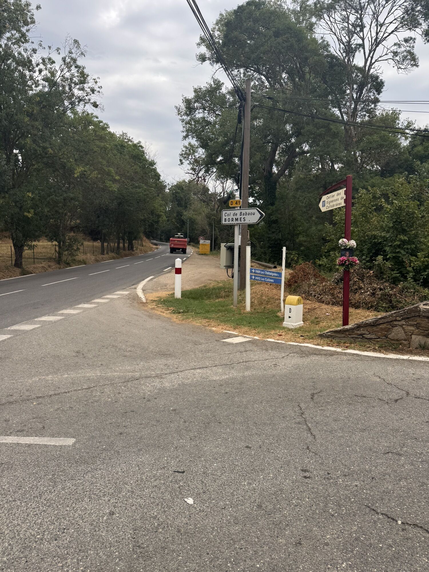
Due to time constraints, I had to shortcut via the D 98 to get back to LaLonde and had to do a short stretch on a larger road to get back onto the bike path. As you come down the Babaou peak and reach the D 98, preferably you should go straight towards Bormes to then hit the bike path and go back to Lalonde which will add 10 km.
Zariadenie
Aluminum road bike
Oceňovanie
5
(1)
4
(0)
3
(0)
2
(0)
1
(0)
Obľúbené výlety v okolí
-
Barrage depuis la barrière vers la chartreuse
strednáTuristika 9,35 km -
Hyères port, vineyards via Pierrefeu, Les Borrels
strednáCestný bicykel 68,0 km -
4,0
Pas de la griotte - bregancon et retour
svetloTuristika 12,6 km -
Cavaliere les hauts aiguebelle
strednáTuristika 7,36 km -
2,0
Église Saint-Trophyme - Notre-Dame de Constance - Bormes-les-Mimosas
svetloTuristika 3,91 km -
Église Saint-Trophyme - Notre-Dame de Constance - Pierre d'Avenon - Bormes-les-Mimosas
ťažkéTuristika 16,2 km -
Bormes-les-Mimosas - Pointe de l'Estagnol
svetloTuristika 7,46 km -
Bormes-les-Mimosas - La Verrerie
svetloTuristika 5,83 km -
Bormes-les-Mimosas - Col de la Mouillère d'Aubet
strednáTuristika 14,4 km -
5,0
La Favière - La Londe-les-Maures - La Verrerie - Chemin de Benat
strednáMountainbike 33,7 km
Turistika a stopovanie

Viac ako 550.000 návrhov výletov, podrobné mapy a intuitívny plánovač trás robia z aplikácie povinnú výbavu pre všetkých nadšencov prírody.

Nenechajte si ujsť ponuky a inšpiráciu na ďalšiu dovolenku
Prihlásiť sa k odberu noviniek
Chyba
Vyskytla sa chyba. Prosím, skúste to znova.
Ďakujeme za vašu registráciu
Vaša e-mailová adresa bol pridaný do poštového zoznamu.
Zájazdy po celej Európe
Rakúsko
Švajčiarsko
Nemecko
Taliansko
Slovinsko
Francúzsko
Holandsko
Belgicko
Poľsko
Lichtenštajnsko
Česko
Slovensko
španielsko
Hrvaška
Bosna a Hercegovina
Luxembursko
Andorra
Portugalsko
Island
Spojené kráľovstvo
Írsko
Grécko
Albánsko
Severné Macedónsko
Malta
Nórsko
Čierna Hora
Moldavsko
Kosovo
Maďarsko
San Maríno
Rumunsko
Estónsko
Lotyšsko
Bielorusko
Cyprus
Litva
Srbsko
Bulharsko
Monako
Dánsko
Švédsko
Fínsko