
Hiking route "Botanical trail"
svetlo
Získajte túto prehliadku v mobilnom telefóne
Hiking route "Botanical trail"
svetlo
Turistika
6,05
km
Naskenujte kód QR a spustite navigáciu v aplikácii bergfex


Turistika a stopovanie





Hiking route "Botanical trail"
svetlo
Vzdialenosť
6,05
km
Trvanie
03:00
h
Ascent
174
hm
Hladina mora
371 -
528
m

Naviguj sa počas prehliadky v aplikácii
Nainštalujte si aplikáciu zadarmo a sledujte trasu vďaka GPS navigácii a sledovaniu polohy.
Využite službu „ bergfex “ už teraz v aplikácii
Naskenuj QR kód pomocou fotoaparátu
Ak máte aplikáciu nainštalovanú, obsah sa otvorí priamo. Ak aplikáciu ešte nemáte, budete presmerovaní na stránku, kde si ju môžete bezplatne stiahnuť.
Stiahnutie skladby
Hiking route "Botanical trail"
svetlo
Turistika
6,05
km
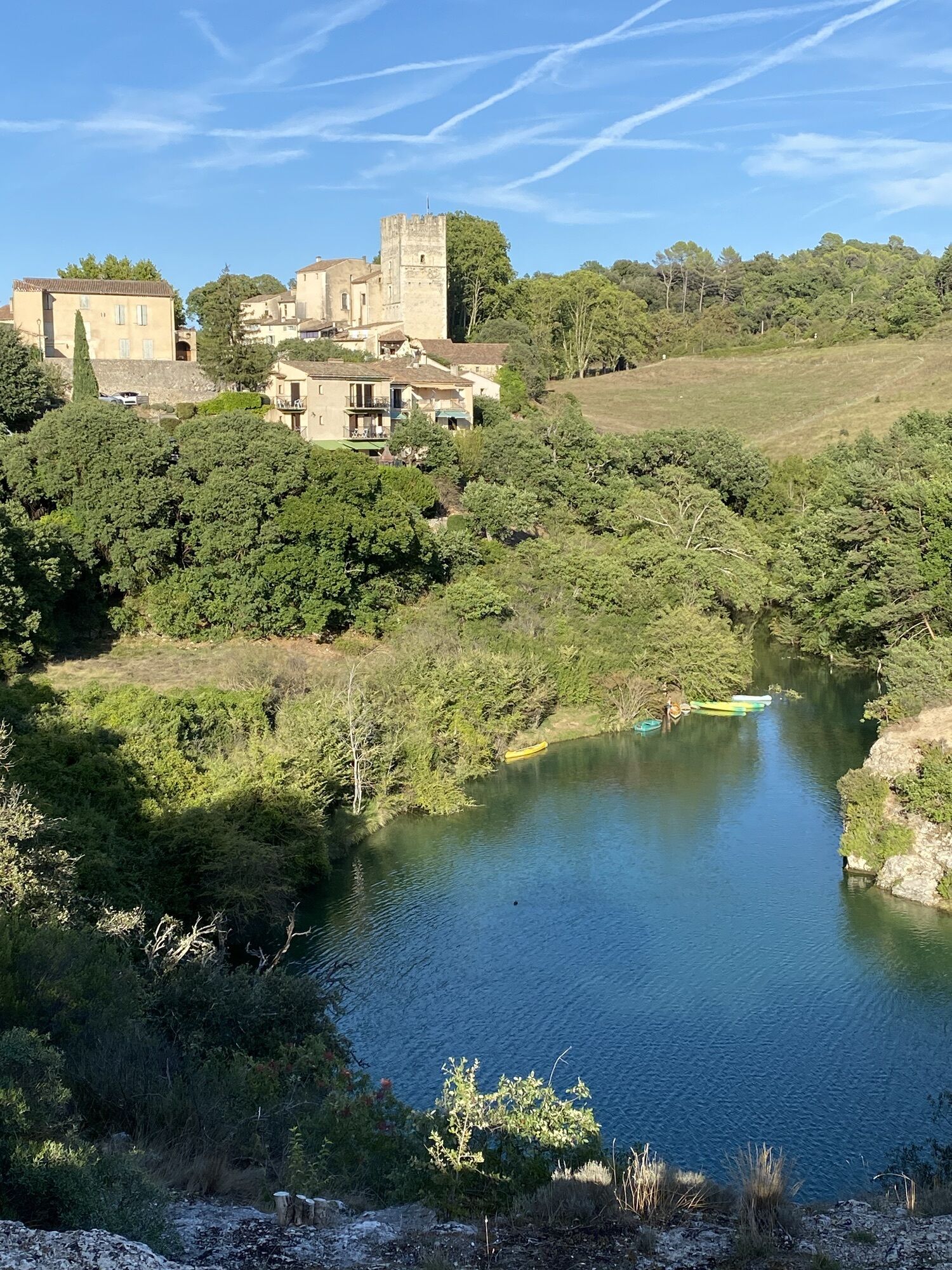
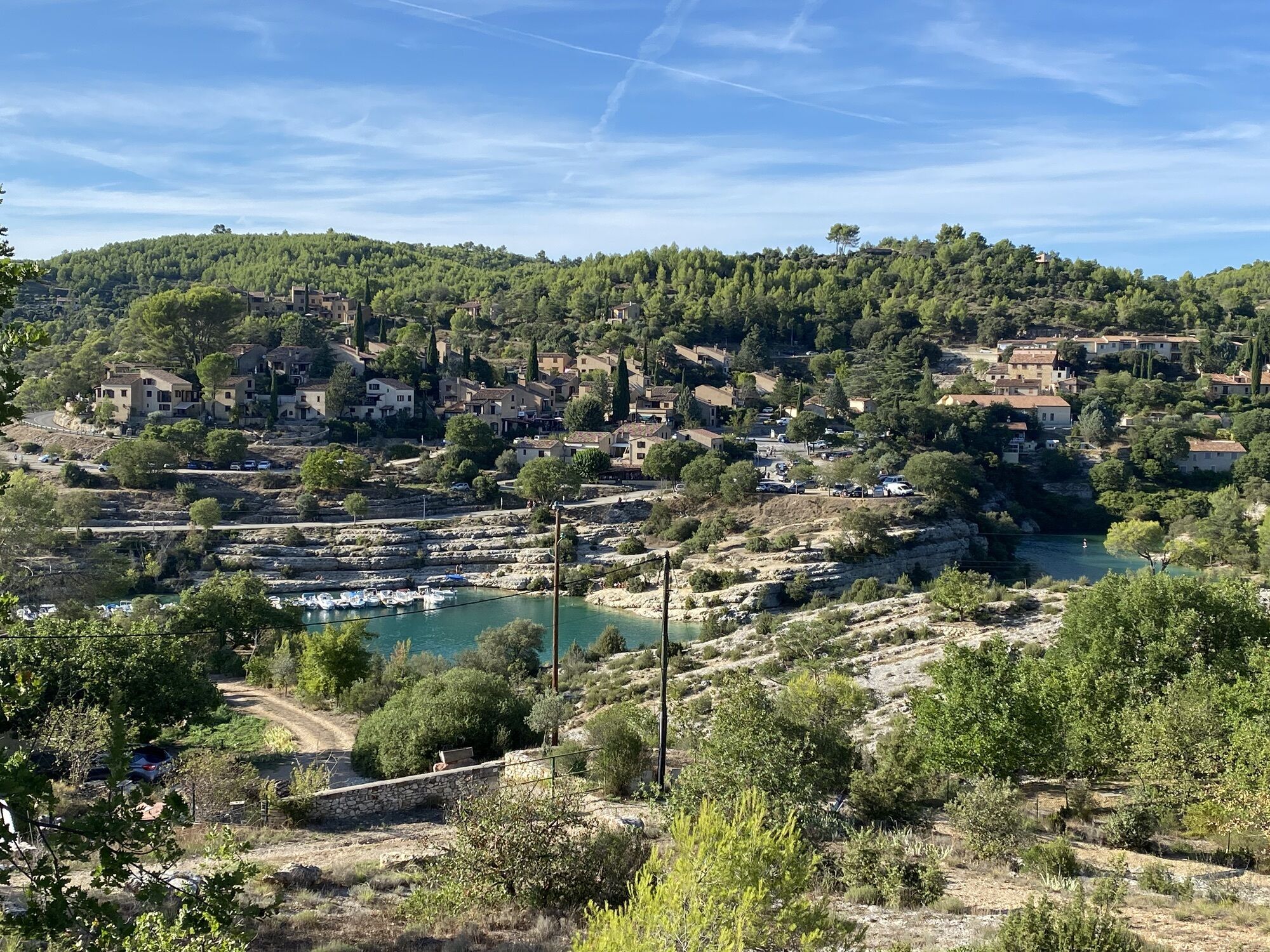
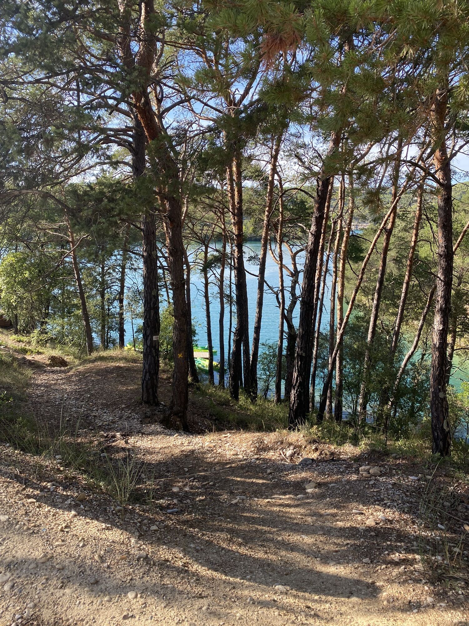
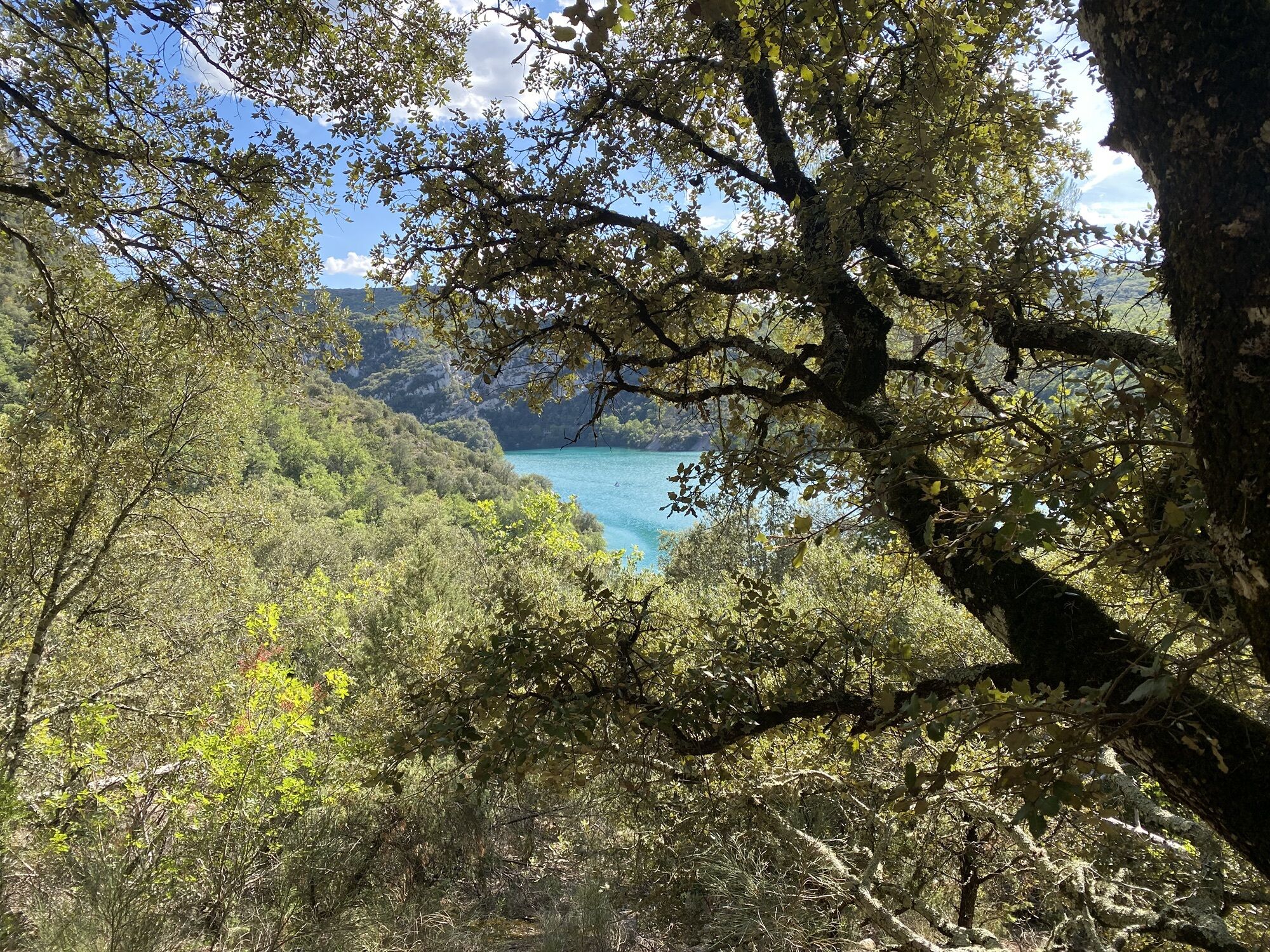
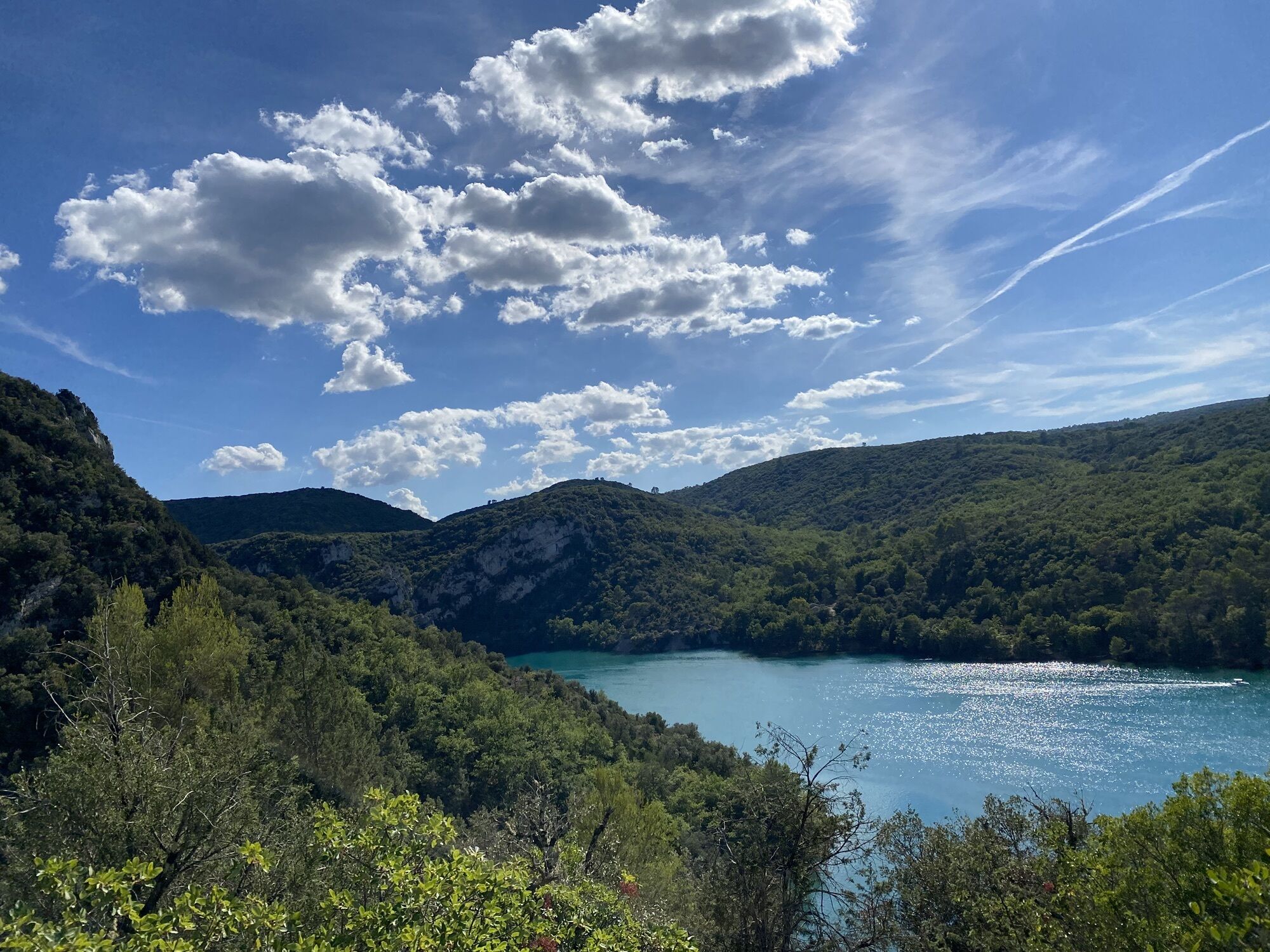
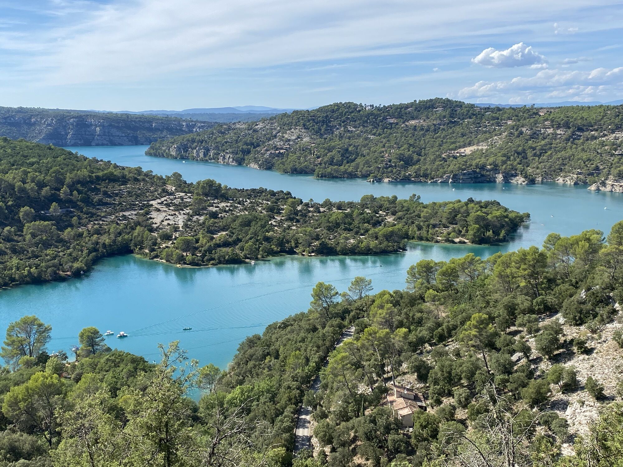
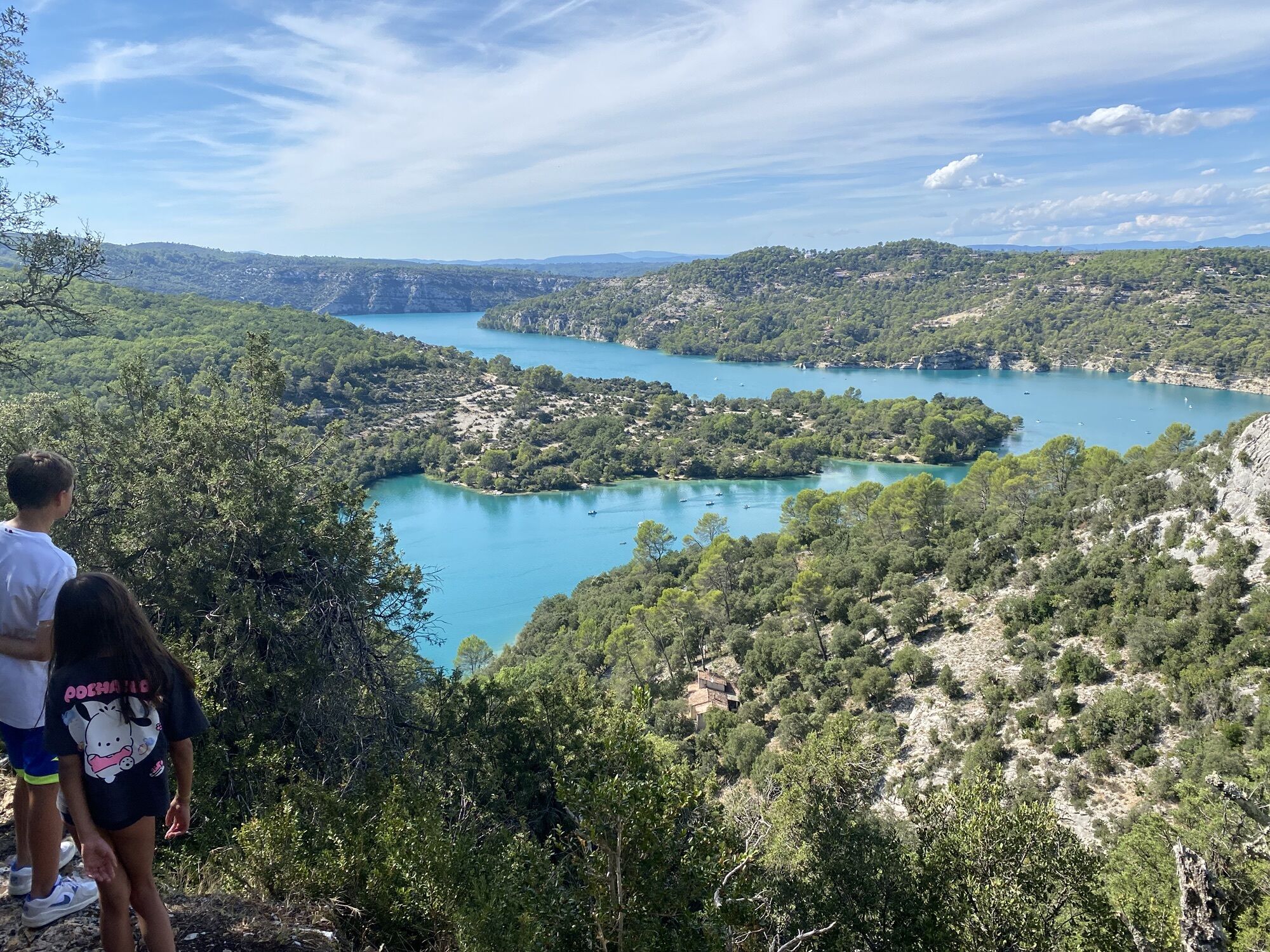
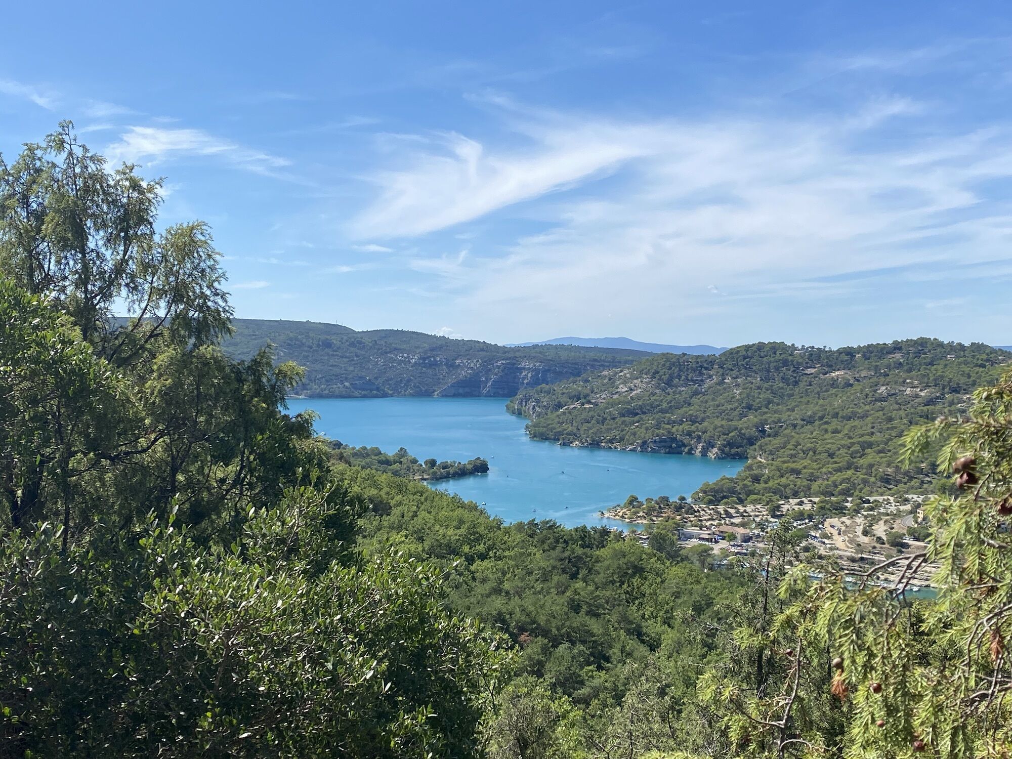
From the commerce parking lot, go up on road D82 and turn right towards the castle and its fountain. Reach 100 m to the right the intersection between the roads of Tuilière and Quinson.
1 - Follow the route...
Opis
From the commerce parking lot, go up on road D82 and turn right towards the castle and its fountain. Reach 100 m to the right the intersection between the roads of Tuilière and Quinson.
1 - Follow the route to the right (lake road and Tuilière). After 50 m on the Tuilière path, turn left onto the discovery trail GR® (red and white markings). Cross a small valley and reach, at the top, a track junction at the place called La Séouve.
2 - At the junction, turn right (yellow PR markings) and follow "broken bridge 1.5 km".
3 - Leave the path leading to the relay tower and take the slope on the left. (the descent to the lake is a bit steep).
4 - At the bottom of the path, turn right and join the paved road of Tuilière, follow it back to point 1.
1 - Follow the route to the right (lake road and Tuilière). After 50 m on the Tuilière path, turn left onto the discovery trail GR® (red and white markings). Cross a small valley and reach, at the top, a track junction at the place called La Séouve.
2 - At the junction, turn right (yellow PR markings) and follow "broken bridge 1.5 km".
3 - Leave the path leading to the relay tower and take the slope on the left. (the descent to the lake is a bit steep).
4 - At the bottom of the path, turn right and join the paved road of Tuilière, follow it back to point 1.
Trasa
Église Saint-André
(388 m)
Miesto uctievania
0,1 km
Esparron-de-Verdon
(386 m)
Dedina
0,4 km
Hameau de la Chapelle
(387 m)
Zúčtovanie
0,6 km
Belvédère de la Tuilière
(498 m)
Uhol pohľadu
1,9 km
Trasa
Hiking route "Botanical trail"
svetlo
Turistika
6,05
km
Église Saint-André
(388 m)
Miesto uctievania
0,1 km
Grotte du Bourg d'Esparron
(373 m)
Vchod do jaskyne
0,2 km
Esparron-de-Verdon
(386 m)
Dedina
0,4 km
Hameau de la Chapelle
(387 m)
Zúčtovanie
0,6 km
Belvédère de la Tuilière
(498 m)
Uhol pohľadu
1,9 km
Autor
Poskytuje Destination du Pays de Manosque
Prehliadku Hiking route "Botanical trail" zabezpečuje outdooractive.com.


Ďalšie informácie a tipy
Ďalšie informácie
APIDAE Tourism data updated on 02/10/2023 by "Durance Luberon Verdon Agglomeration Community Tourist Office".
An error on this sheet? Write to the owner citing these references:
Sheet name: Hiking route "Botanical trail" | Sheet ID: 6409682 | URL (link) of this Outdooractive page.
An error on this sheet? Write to the owner citing these references:
Sheet name: Hiking route "Botanical trail" | Sheet ID: 6409682 | URL (link) of this Outdooractive page.
Oceňovanie
1 Komentár

Vasil Pazvanski

25. aug. 2026
Toller Ort und schöne Aussichten. Auf dem Weg sieht man viele Orte zum Baden, das Wasser super cool und frisch!
Aktivity počas prehliadky

Obľúbené výlety v okolí
-
4,0
Hiking route "Canal Guardian's Trail"
svetloTuristika 9,82 km -
5,0
Les Gorges de Baudinard
strednáKajak / Kanu 8,26 km -
Hiking route "La Trinité"
svetloTuristika 9,35 km -
FFC Mountain Bike Site - Provence Verdon - Circuit 43 - Blue - Montagnac-Montpezat
svetloMountainbike 16,5 km -
The Mediterranean by bike
ťažkéCyklistika 461,2 km -
Hiking route "Adret de Notre Dame"
svetloTuristika 6,19 km -
4,0
The route around Lake Esparron-de-Verdon
strednáCestný bicykel 57,7 km -
VTT FFC Site - Provence Verdon - Route 1 - Black
ťažkéMountainbike 61,6 km -
Hiking route "The Millarettes plateau"
svetloTuristika 9,83 km -
1,0
Hiking route "Coteau Chiron"
strednáTuristika 7,16 km
Turistika a stopovanie

Viac ako 550.000 návrhov výletov, podrobné mapy a intuitívny plánovač trás robia z aplikácie povinnú výbavu pre všetkých nadšencov prírody.

Nenechajte si ujsť ponuky a inšpiráciu na ďalšiu dovolenku
Prihlásiť sa k odberu noviniek
Chyba
Vyskytla sa chyba. Prosím, skúste to znova.
Ďakujeme za vašu registráciu
Vaša e-mailová adresa bol pridaný do poštového zoznamu.
Zájazdy po celej Európe
Rakúsko
Švajčiarsko
Nemecko
Taliansko
Slovinsko
Francúzsko
Holandsko
Belgicko
Poľsko
Lichtenštajnsko
Česko
Slovensko
španielsko
Hrvaška
Bosna a Hercegovina
Luxembursko
Andorra
Portugalsko
Island
Spojené kráľovstvo
Írsko
Grécko
Albánsko
Severné Macedónsko
Malta
Nórsko
Čierna Hora
Moldavsko
Kosovo
Maďarsko
San Maríno
Rumunsko
Estónsko
Lotyšsko
Bielorusko
Cyprus
Litva
Srbsko
Bulharsko
Monako
Dánsko
Švédsko
Fínsko





