Itinéraire pédestre "Les chemins de Bellevue"
svetlo
Navigácia na stránke
Navigácia na stránke
Získajte túto prehliadku v mobilnom telefóne
Itinéraire pédestre "Les chemins de Bellevue"
svetlo
Turistika
1,62
km
Naskenujte kód QR a spustite navigáciu v aplikácii bergfex

Turistika a stopovanie


Itinéraire pédestre "Les chemins de Bellevue"
svetlo
Vzdialenosť
1,62
km
Trvanie
00:30
h
Ascent
6
hm
Hladina mora
675 -
683
m
Stiahnutie skladby
Itinéraire pédestre "Les chemins de Bellevue"
svetlo
Turistika
1,62
km
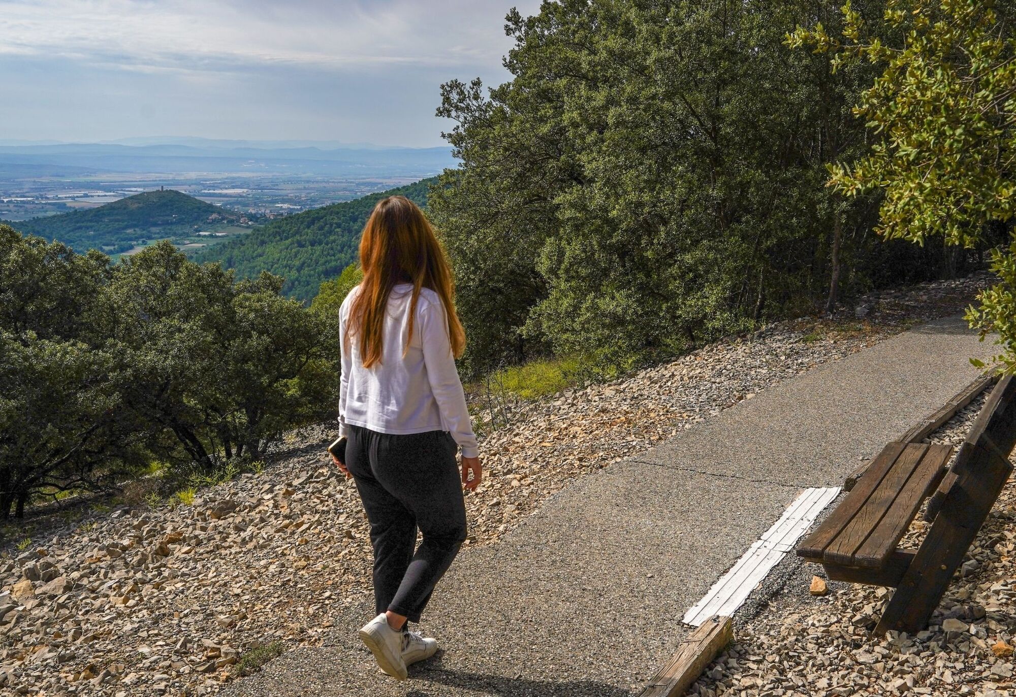
Directions: at the Col de la Mort d'Imbert, turn right onto the small road to join the Bellevue path.
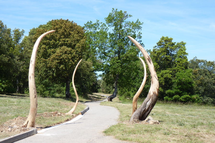
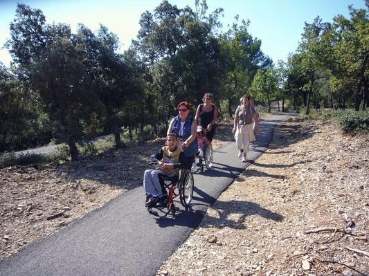
This route is suitable for people with reduced mobility (adapted parking, no camber, gentle slope, asphalt...
Opis
Directions: at the Col de la Mort d'Imbert, turn right onto the small road to join the Bellevue path.
This route is suitable for people with reduced mobility (adapted parking, no camber, gentle slope, asphalt surface, shaded path).
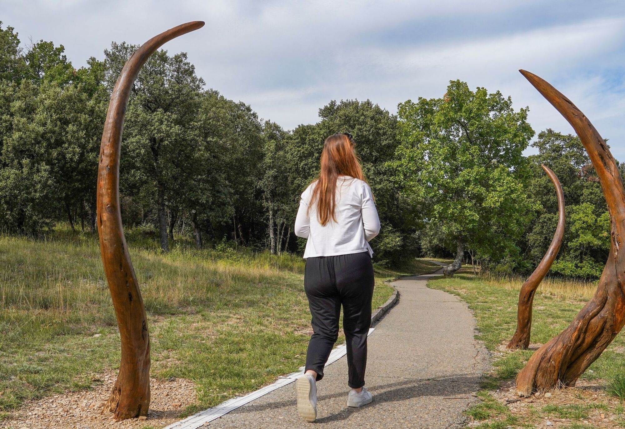
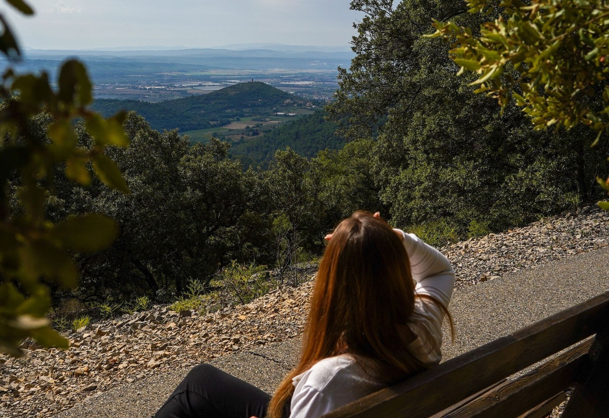
The path on the ridge position offers magnificent views of the Durance valley, the Prealps of Digne les Bains, the Lure mountain, the Luberon, the Sainte Victoire mountain.
Between sunny open areas and coolness under the shade of trees, the atmosphere changes in a few steps.
This route is suitable for people with reduced mobility (adapted parking, no camber, gentle slope, asphalt surface, shaded path).
The path on the ridge position offers magnificent views of the Durance valley, the Prealps of Digne les Bains, the Lure mountain, the Luberon, the Sainte Victoire mountain.
Between sunny open areas and coolness under the shade of trees, the atmosphere changes in a few steps.
Autor
Prehliadku Itinéraire pédestre "Les chemins de Bellevue" zabezpečuje outdooractive.com.
Zatiaľ žiadne recenzie
Obľúbené výlety v okolí
-
Itinéraire pédestre "Sentier des Vignerons"
strednáTuristika 5,48 km -
Hiking route "La Trinité"
svetloTuristika 9,35 km -
MANOSQUE - Les chemins de Pélicier
svetloTuristika 10,4 km -
The Mediterranean by bike n°2 : Apt - Manosque
ťažkéCyklistika 83,1 km -
Itinéraire pédestre "Tour de la Garde"
ťažkéTuristika 8,82 km -
Itinéraire pédestre "Le Bois Saint-Martin"
svetloTuristika 9,37 km -
MONTFURON - La géologie, l'homme et la Terre
svetloTuristika 5,07 km -
Itinéraire pédestre "Paourié"
svetloTuristika 6,65 km -
MTB trail no. 8 - Grand Tour of the Manosque Hills on mountain bike
ťažkéMountainbike 53,0 km -
MANOSQUE - En forêt Domaniale de Pélicier
strednáTuristika 10,3 km
Turistika a stopovanie

Viac ako 550.000 návrhov výletov, podrobné mapy a intuitívny plánovač trás robia z aplikácie povinnú výbavu pre všetkých nadšencov prírody.

Nenechajte si ujsť ponuky a inšpiráciu na ďalšiu dovolenku
Prihlásiť sa k odberu noviniek
Chyba
Vyskytla sa chyba. Prosím, skúste to znova.
Ďakujeme za vašu registráciu
Vaša e-mailová adresa bol pridaný do poštového zoznamu.
Zájazdy po celej Európe
Rakúsko
Švajčiarsko
Nemecko
Taliansko
Slovinsko
Francúzsko
Holandsko
Belgicko
Poľsko
Lichtenštajnsko
Česko
Slovensko
španielsko
Hrvaška
Bosna a Hercegovina
Luxembursko
Andorra
Portugalsko
Island
Spojené kráľovstvo
Írsko
Grécko
Albánsko
Severné Macedónsko
Malta
Nórsko
Čierna Hora
Moldavsko
Kosovo
Maďarsko
San Maríno
Rumunsko
Estónsko
Lotyšsko
Bielorusko
Cyprus
Litva
Srbsko
Bulharsko
Monako
Dánsko
Švédsko
Fínsko