







Palatinate Forest Trail stage 01 Kaiserslautern - Finsterbrunnertal

The starting point is the main station in Kaiserslautern. Soon you reach the city limits, where you are greeted by the silence of the forest and accompanied uphill to the Great Humberg with its prominent...
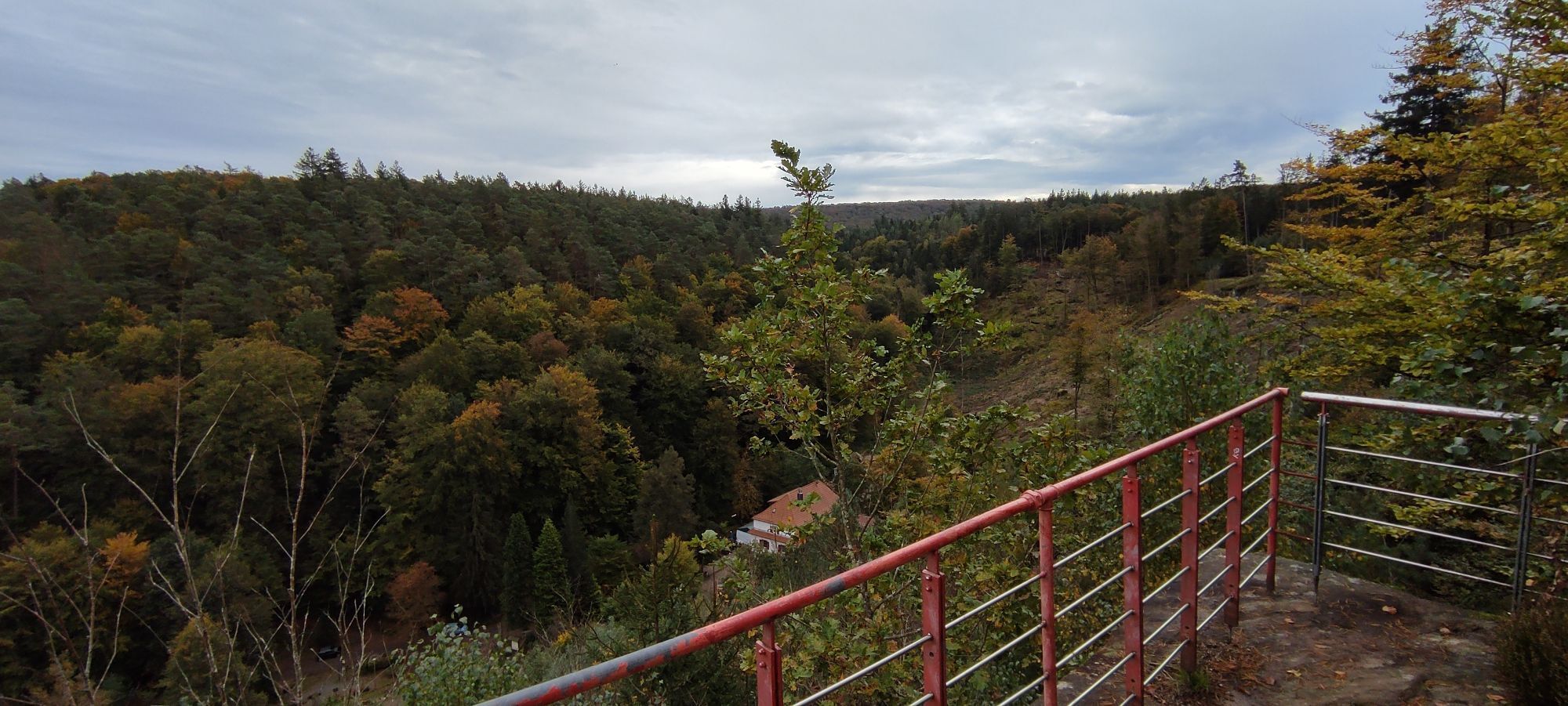
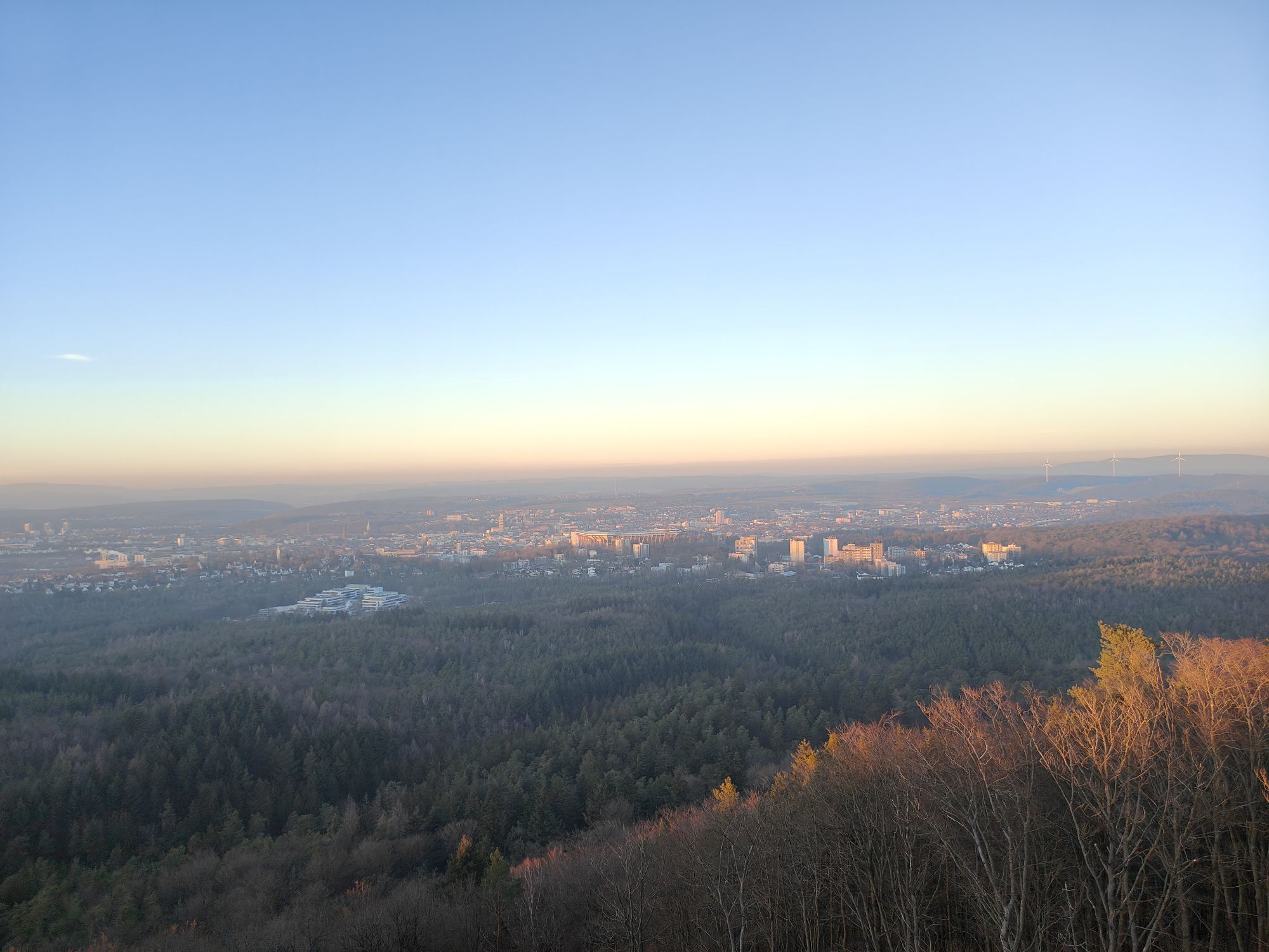
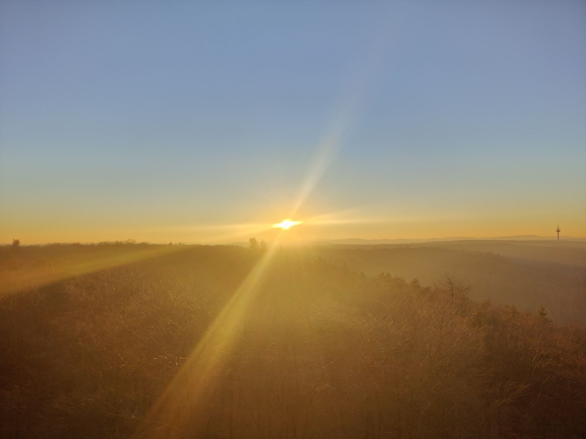
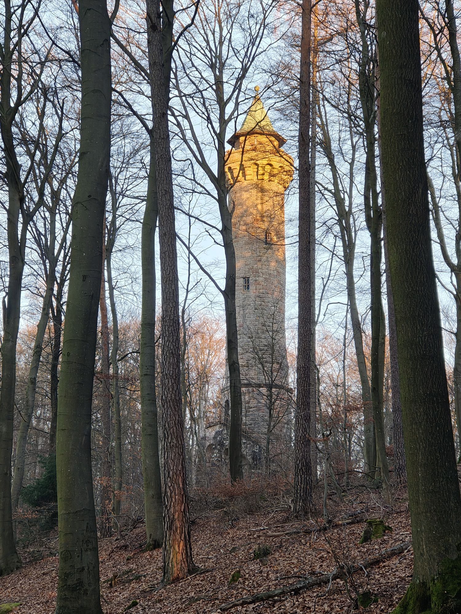
The starting point is the main station in Kaiserslautern. Soon you reach the city limits, where you are greeted by the silence of the forest and accompanied uphill to the Great Humberg with its prominent appearance. The 36 m high Humberg Tower takes you up 163 steps to an altitude of 453 m. Now just gaze! Over Kaiserslautern with Fritz Walter Stadium, the Palatinate Forest and the Palatinate Highland with Donnersberg, the highest mountain of the Palatinate, can be seen on the horizon. After the descent, the path leads to the "Rote Hohl", whose weathered sandstone points to an old crossroads between Kaiserslautern and the Aschbach valley. Passing Dansenberg, the path leads into the Aschbach valley past the Jagdhaus pond and further to Alte Schmelz. Over the height of Blaukopf, the Moosalbe greets in its bed. In its side valley lies the stage destination, the Naturfreundehaus Finsterbrunnertal. Further accommodation options in Trippstadt and Stelzenberg.
UFFBASSE! - Campaign for respectful coexistence in nature
Fire & Smoking - Making fire, smoking, and grilling are strictly prohibited in the forest and must be absolutely avoided! Fires and thus great damage to nature and wildlife can only be prevented this way.
Act considerately - Always behave foresightedly, friendly, and considerate towards everyone you meet on the way.
Nature conservation - Stay on designated paths and avoid unnecessary noise when you are in nature. Leave the forest by dusk at the latest to not disturb the rhythm of nocturnal animals.
Picnic & Trash - Remember to bring a garbage bag for the way and take the rubbish back home. Use only furnished rest areas for breaks and picnics.
Leash your dogs - Please keep your dog on a leash at all times. Other visitors and animals will thank you.
More information at:www.pfalz.de/uffbasse

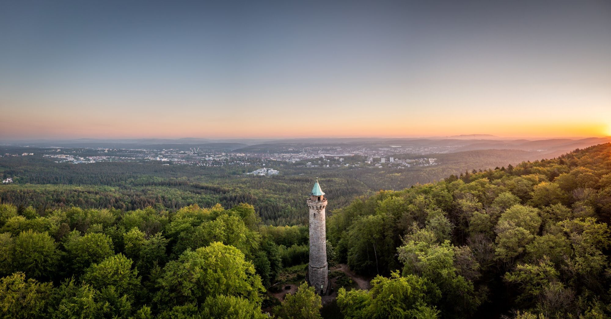
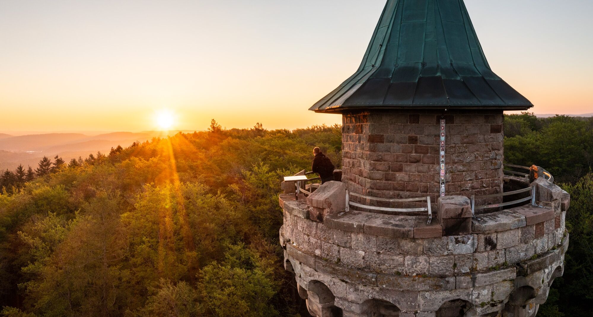
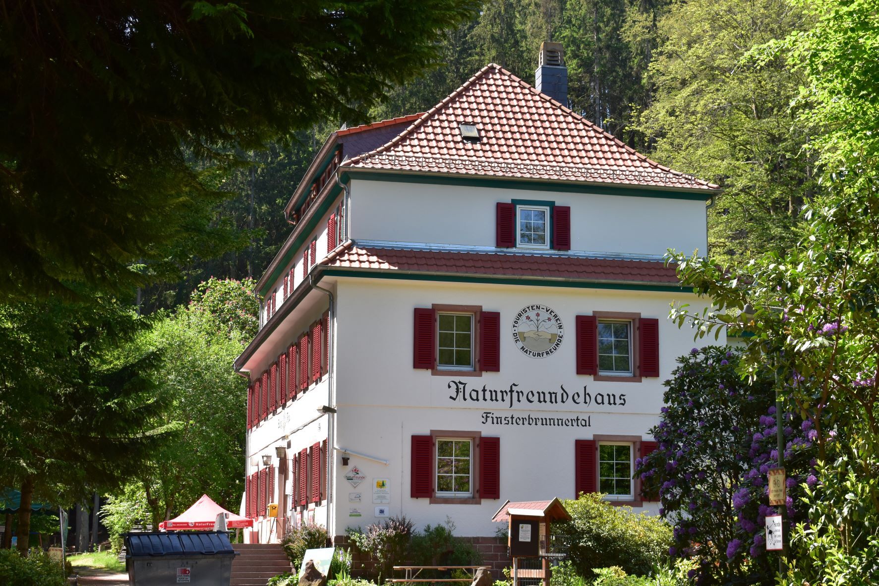

The first stage of the Palatinate Forest Trail begins at Kaiserslautern main station(1), from where it is not far to the southern edge of the city. There we hike through dense forest uphill to the Humberg Tower (2). The nearly 36 m high observation tower was built in 1900 and offers a fantastic panoramic view over the northern Palatinate Forest, the city of Kaiserslautern with the impressive Fritz Walter Stadium up to the Donnersberg, the highest mountain of the Palatinate. The route continues through the forest over the heights to the "Rote Hohl" (3), which reminds of an old crossroads on the mountain pass between Kaiserslautern and the Aschbach valley. After passing the outskirts of Dansenberg, we descend into the Aschbach valley, wandering past the Jagdhaus pond. Near the houses of Alte Schmelz the route leads us up to the height of the Blaukopf and then down into the valley of the Moosalbe. At the entrance to a small side valley lies our stage destination, the Naturfreundehaus Finsterbrunnertal (4).
Áno
Áno
For our hiking tours, we recommend the following equipment as standard:
Sturdy footwear Weather-appropriate clothing Sun and rain protection Sufficient supply of food and drinks, as there are not always places to eat or shop along the way or they may be closed. Although the paths are very well marked throughout, it is advisable for safety reasons always to carry an appropriate hiking map so that, for example, in the event of a thunderstorm or emergency you can quickly find a safe area.Hiking on natural paths and trails - Especially in autumn, attention should be paid to the fact that fallen leaves on the ground can conceal unevenness, roots, stones, or holes in the path. After thunderstorms or rainstorms, trees may still fall or branches drop. Especially in adverse weather conditions, natural paths can have muddy and slippery sections. Not all rocks or cliffs are secured with ropes or railings. Surefootedness is sometimes required. You must expect such path impairments when hiking. If you think certain sections are not passable for you, you should avoid them. Despite the "fail-safe" marking of the premium hiking trails, we always recommend carrying an appropriate hiking map for safety reasons, so that, for example, in the event of a thunderstorm or emergency you can quickly find a safe area. Path closures and detours must be strictly observed.
Hazard situations - In an emergency, quick help is needed. Even though mobile phones can send GPS signals, classic rescue points often provide the quickest help. These are located at places that are easily accessible to rescue vehicles. Remember the points with green signs and a white cross. In an emergency, return to these points and give the number on the sign to your emergency call. This way rescuers will know where to find you.
Take the A6 exit Kaiserslautern-Ost and continue on the B37 towards Kaiserslautern station.
Or: Take the A63 exit Kaiserslautern - Centrum / Mannheim and continue on the B37 towards Kaiserslautern station.
By train to Kaiserslautern (ICE stop). Bus 170 / 178 to Trippstadt.
The popular excursion destination Karlstal and the Naturfreundehaus Finsterbrunnertal will be better accessible by bus in the future. From Monday, July 15, 2024, there is a new stop at Eisenschmelz, served by bus line 170 from Kaiserslautern. From the new bus stop "Neue Schmelz, Stelzenberg", which is set up in the Eisenschmelz parking lot (K55/L500), it is a 600-meter walk over mostly flat terrain, which takes only a few minutes. The buses run on the hour from Kaiserslautern via Stelzenberg, Karlstal, Trippstadt back to the city, then the next hour in reverse via Trippstadt, Karlstal, Stelzenberg back to Kaiserslautern. At Unterhammer, a new two-sided stop on the L500 has also been rearranged, also served by line 170. From mid-June 2025, bus line 180 will also serve Eisenschmelz.
Timetable information: via the DB travel information and the DB Navigator app
At the main station in Kaiserslautern
Please park only in designated parking spaces and always keep access routes for emergency vehicles as well as work paths in the forest and vineyards clear. For overnight stays with camper & caravan, there are explicitly designated motorhome parking spaces.
The popular excursion destination Karlstal and the Naturfreundehaus Finsterbrunnertal will be better accessible by bus in the future. Since Monday, July 15, 2024, there is a new stop at Eisenschmelz, served by bus line 170.
Additional accommodation options (with transfer) in Trippstadt.

Obľúbené výlety v okolí
-
Palatinate Forest Trail Stage 03 Johanniskreuz - Heltersberg
strednádiaľková pešia trasa 14,4 km -
5,0
Bann cycling route "Around the Local Mountain"
Cyklistika 8,54 km -
5,0
Kindsbach, Rheinland-Pfalz zur Landstuhler Burg Kindsbach, Rheinland-Pfalz
svetloTuristika 9,11 km -
Alter Postweg Merzalben - Leimen/Pfalz
strednáTuristika 13,8 km -
Pfälzer Land cycle path
strednáCyklistika 47,8 km -
Barbarossa Cycle Path | Family route, Kaiserslautern to Glan-Münchweiler
svetloCyklistika 24,6 km -
Sickinger Mühlenradweg
strednáCyklistika 40,7 km -
Palatinate Forest Trail Stage 01 Schopp - Johanniskreuz
strednádiaľková pešia trasa 15,3 km -
Röderhoftour Leimen/Pfalz
strednáTuristika 7,44 km -
Road bike 3 - Waldfischbach-Burgalben - Heltersberg - Johanniskreuz
strednáCestný bicykel 41,5 km
Turistika a stopovanie


Nenechajte si ujsť ponuky a inšpiráciu na ďalšiu dovolenku
Vaša e-mailová adresa bol pridaný do poštového zoznamu.





