





Welterbesteig Oberes Mittelrheintal section 7 Boppard - Rhens
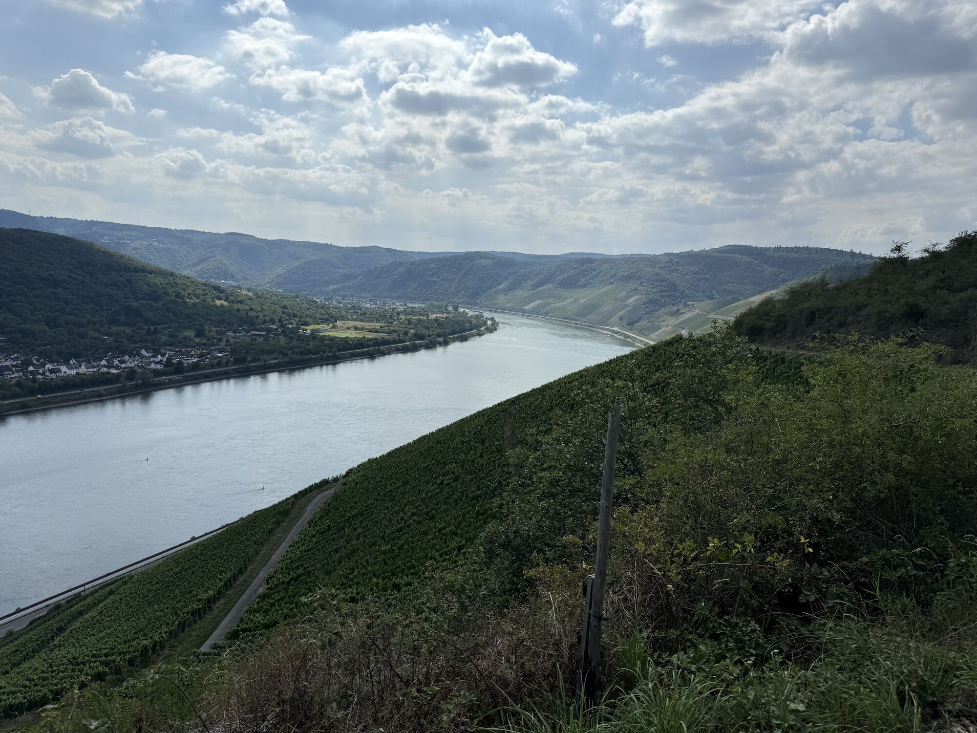
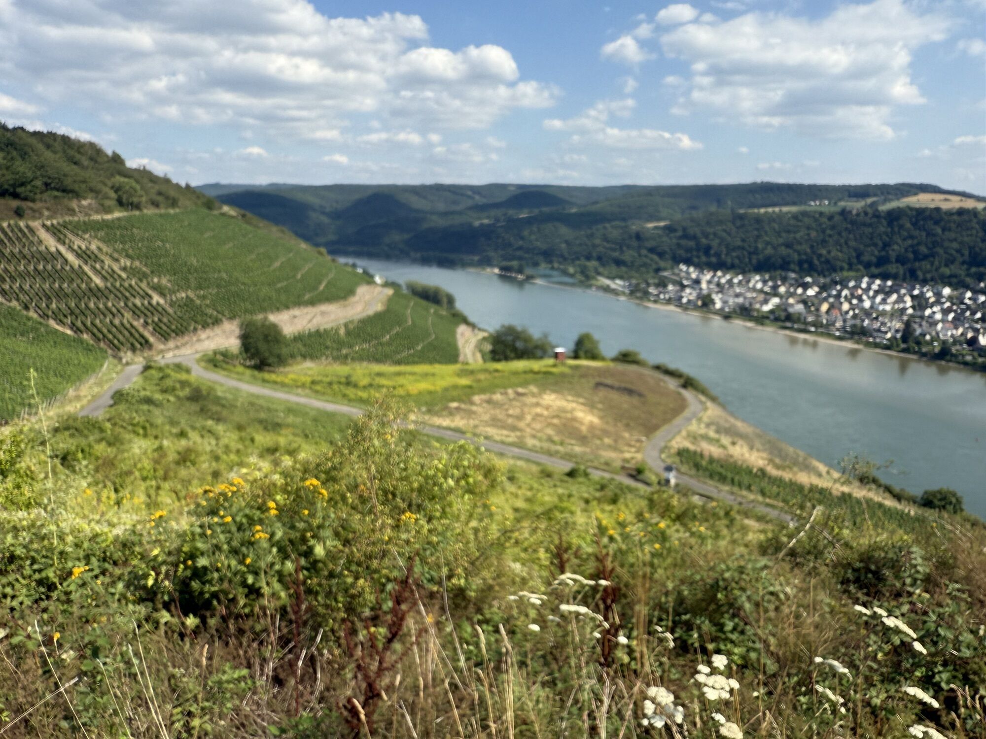
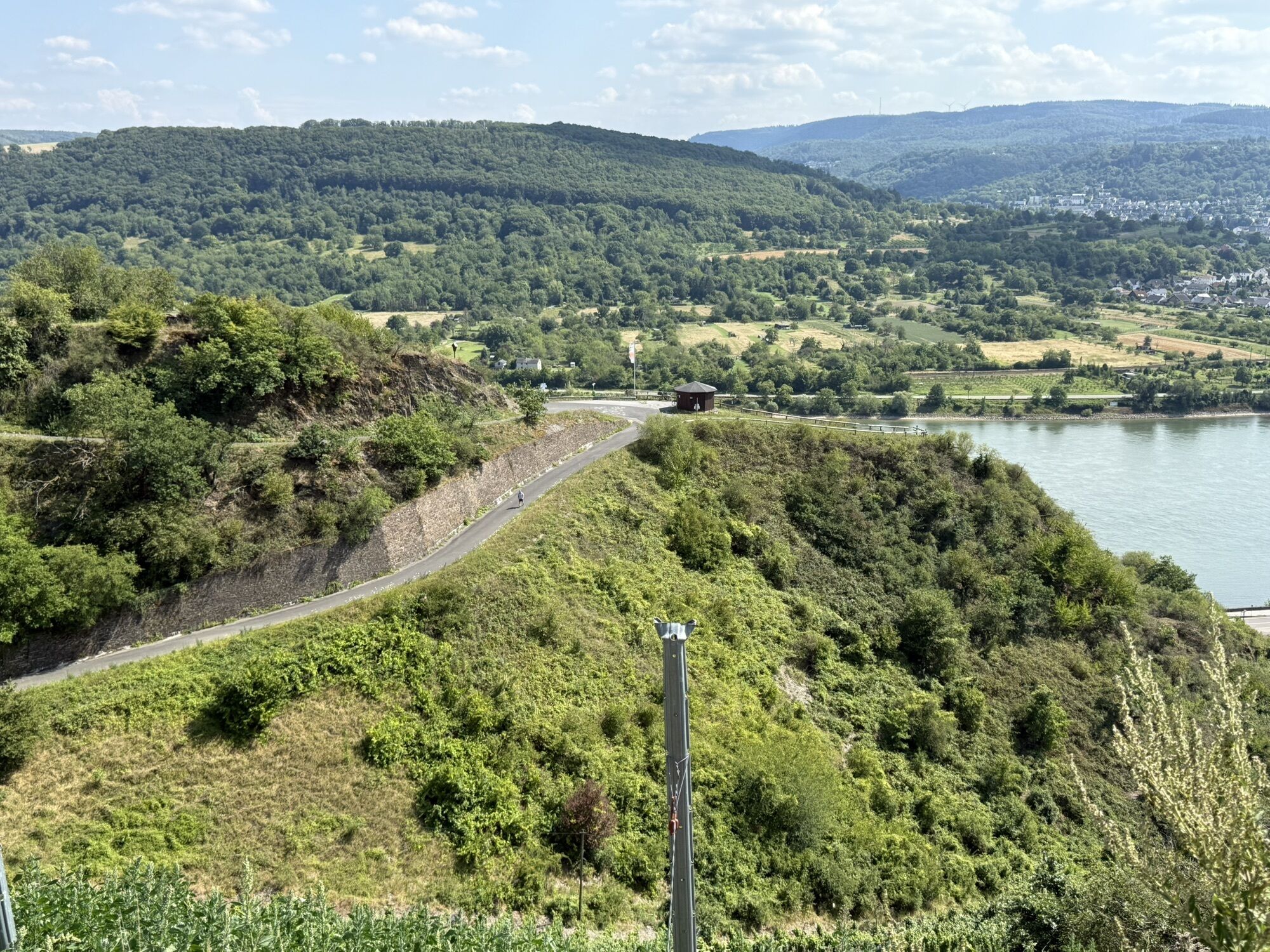
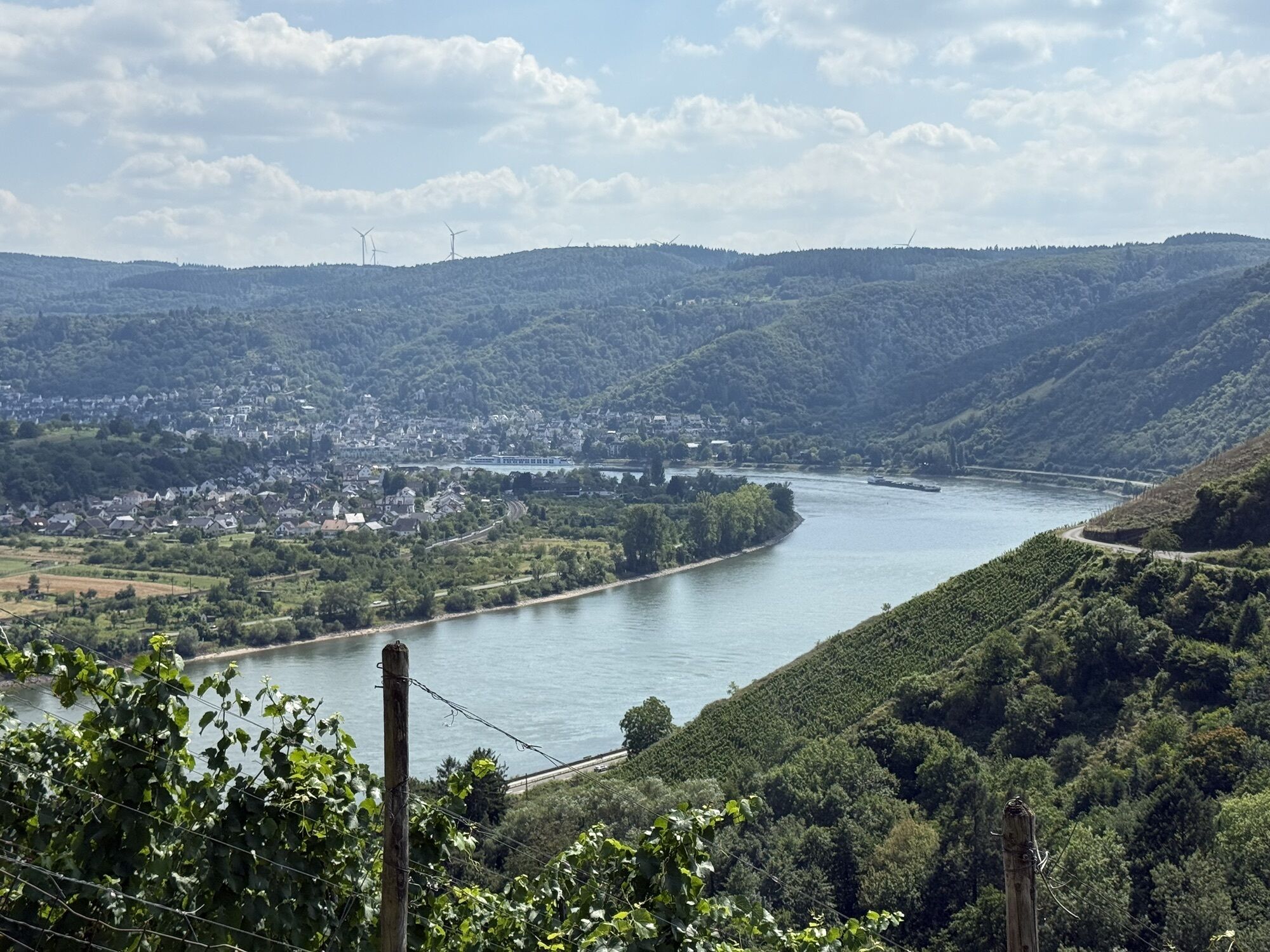
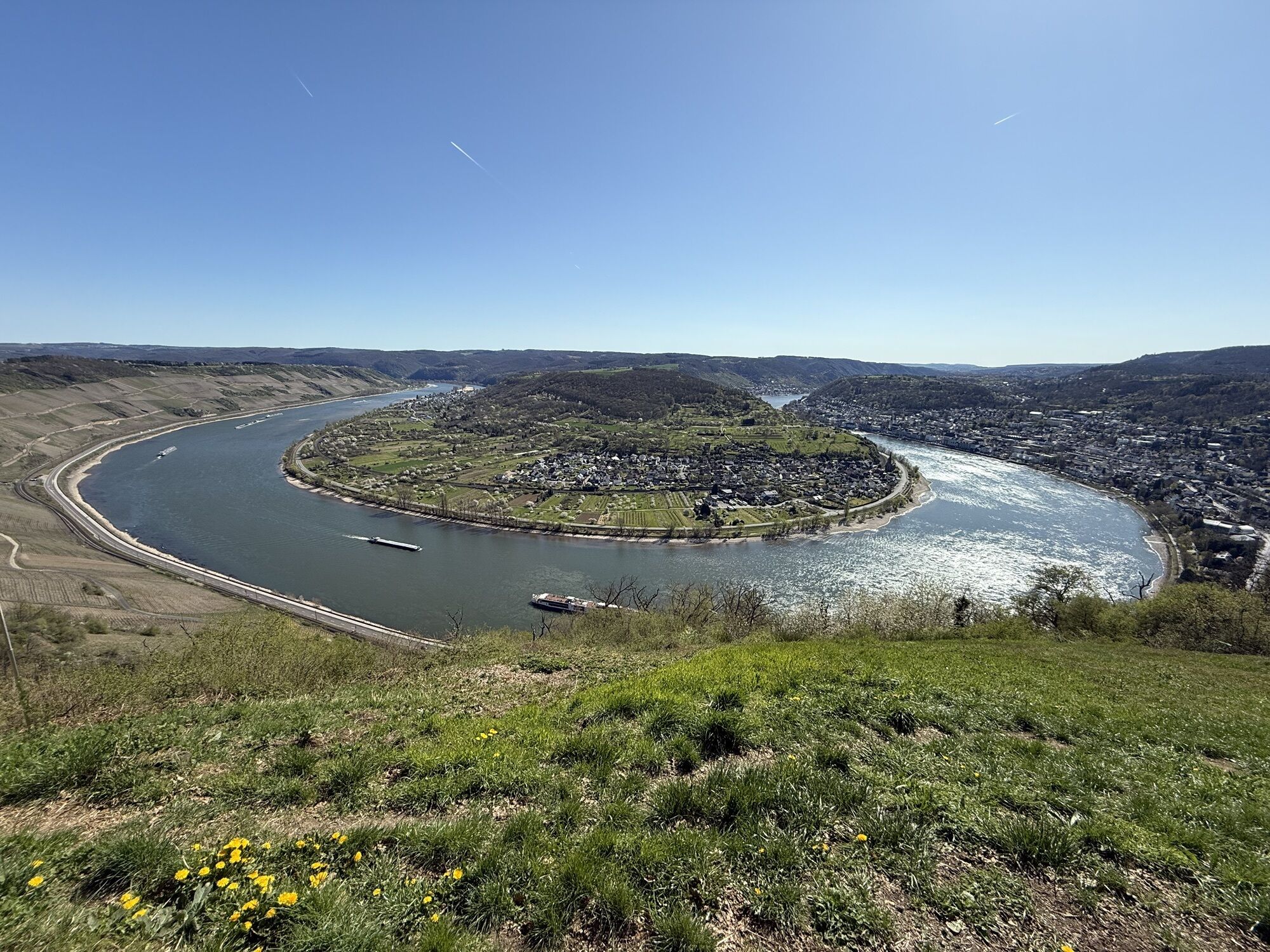
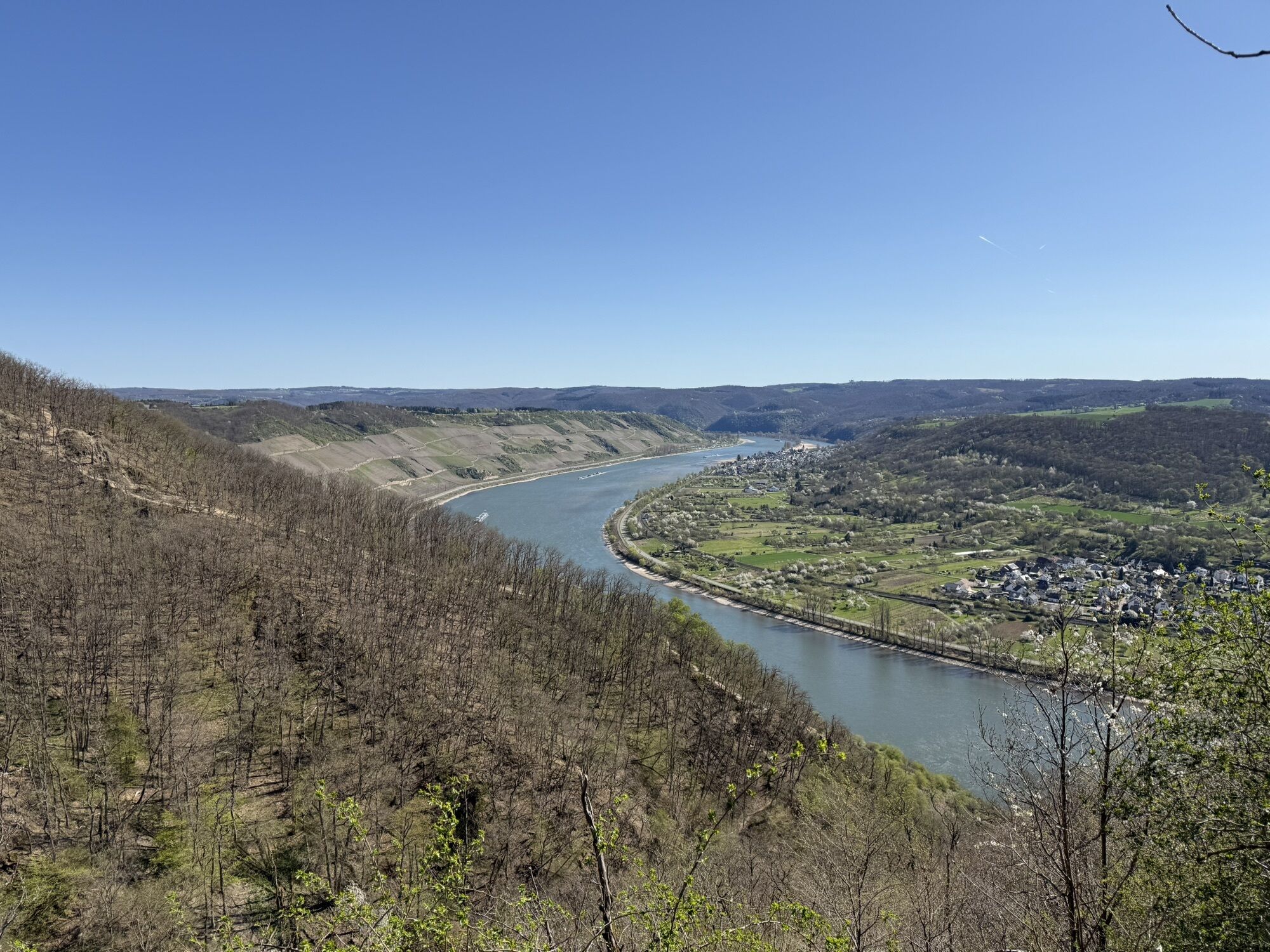
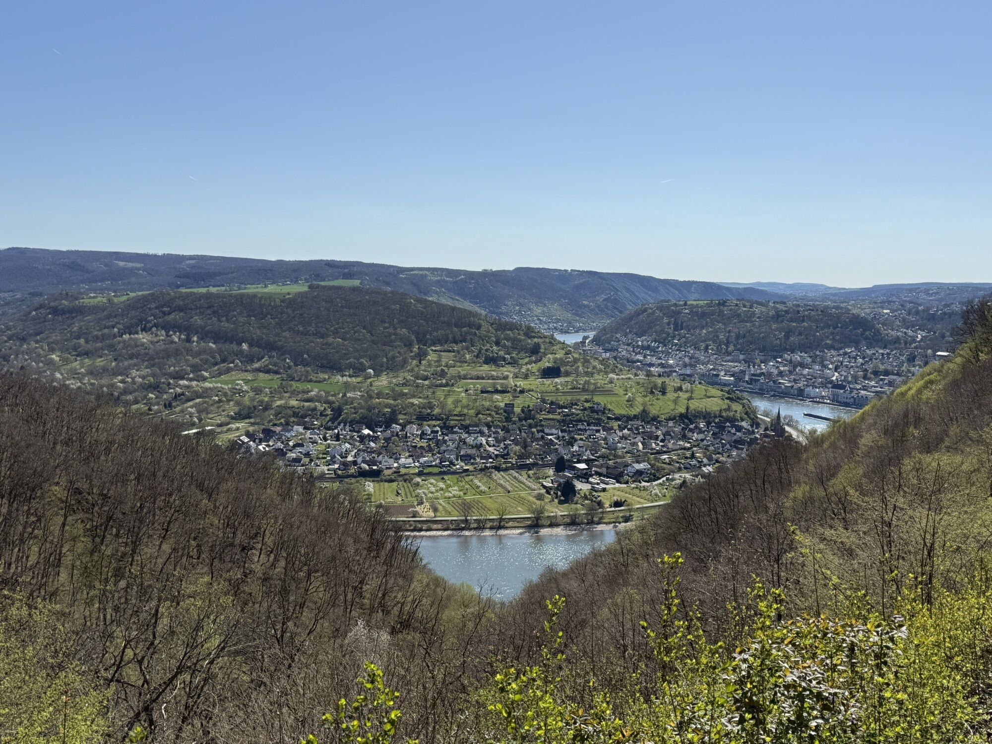
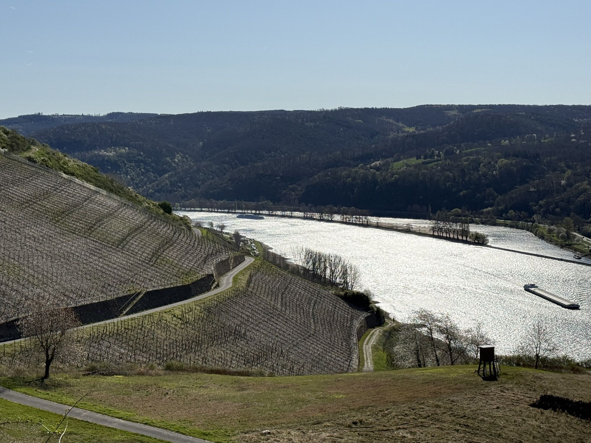
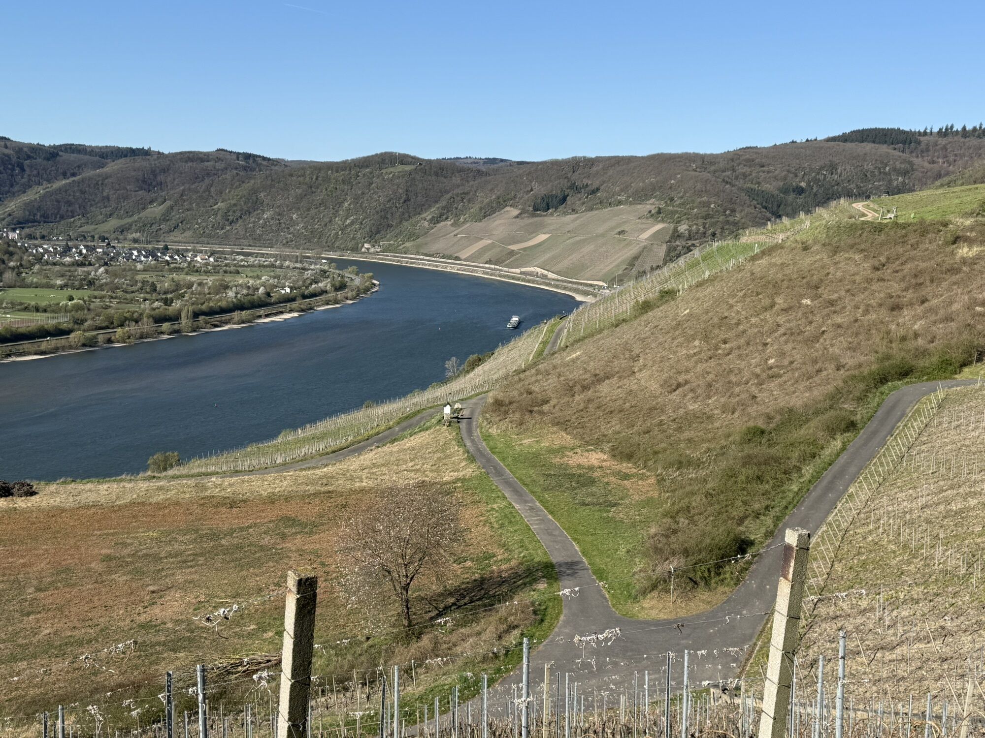
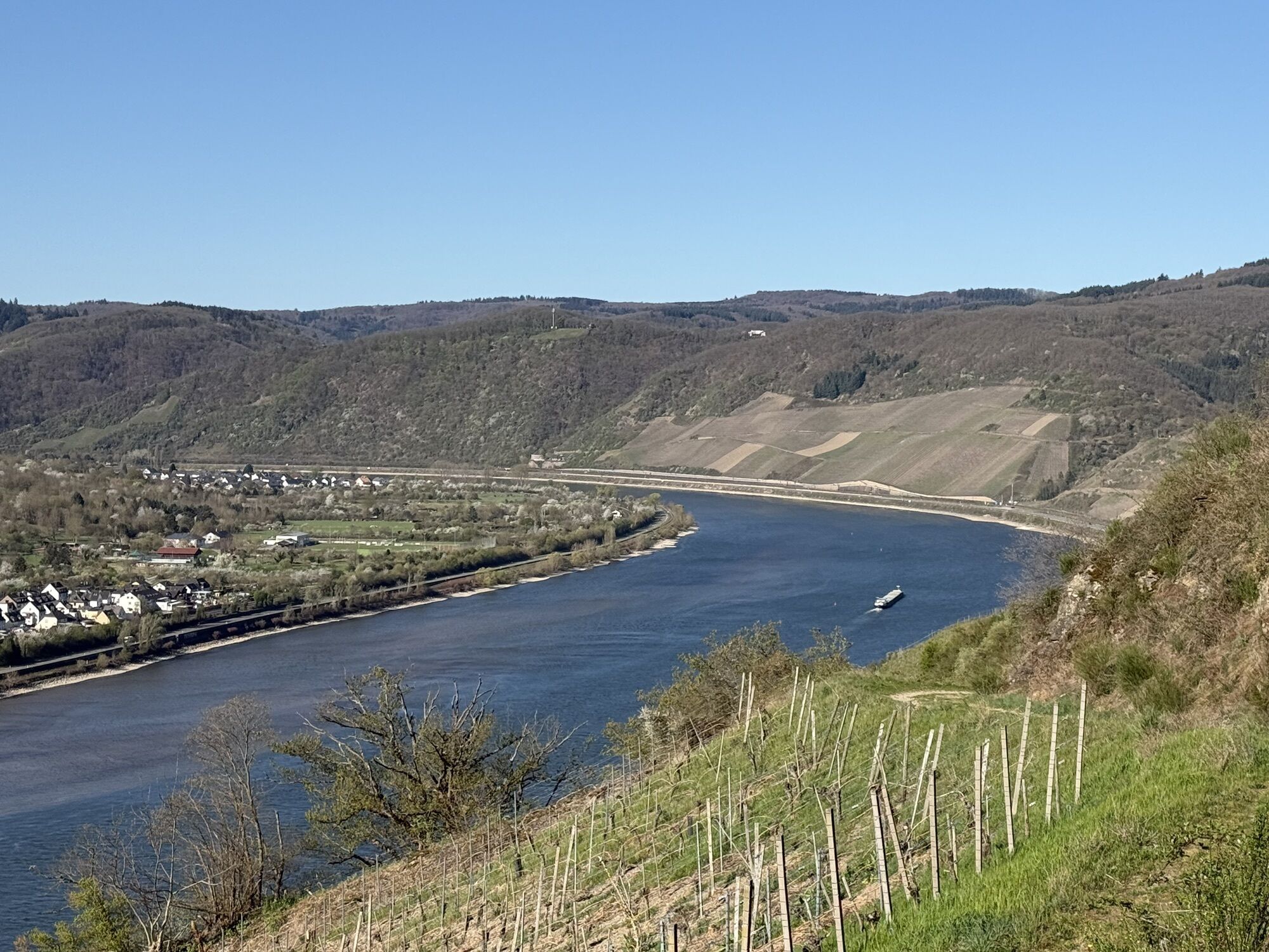


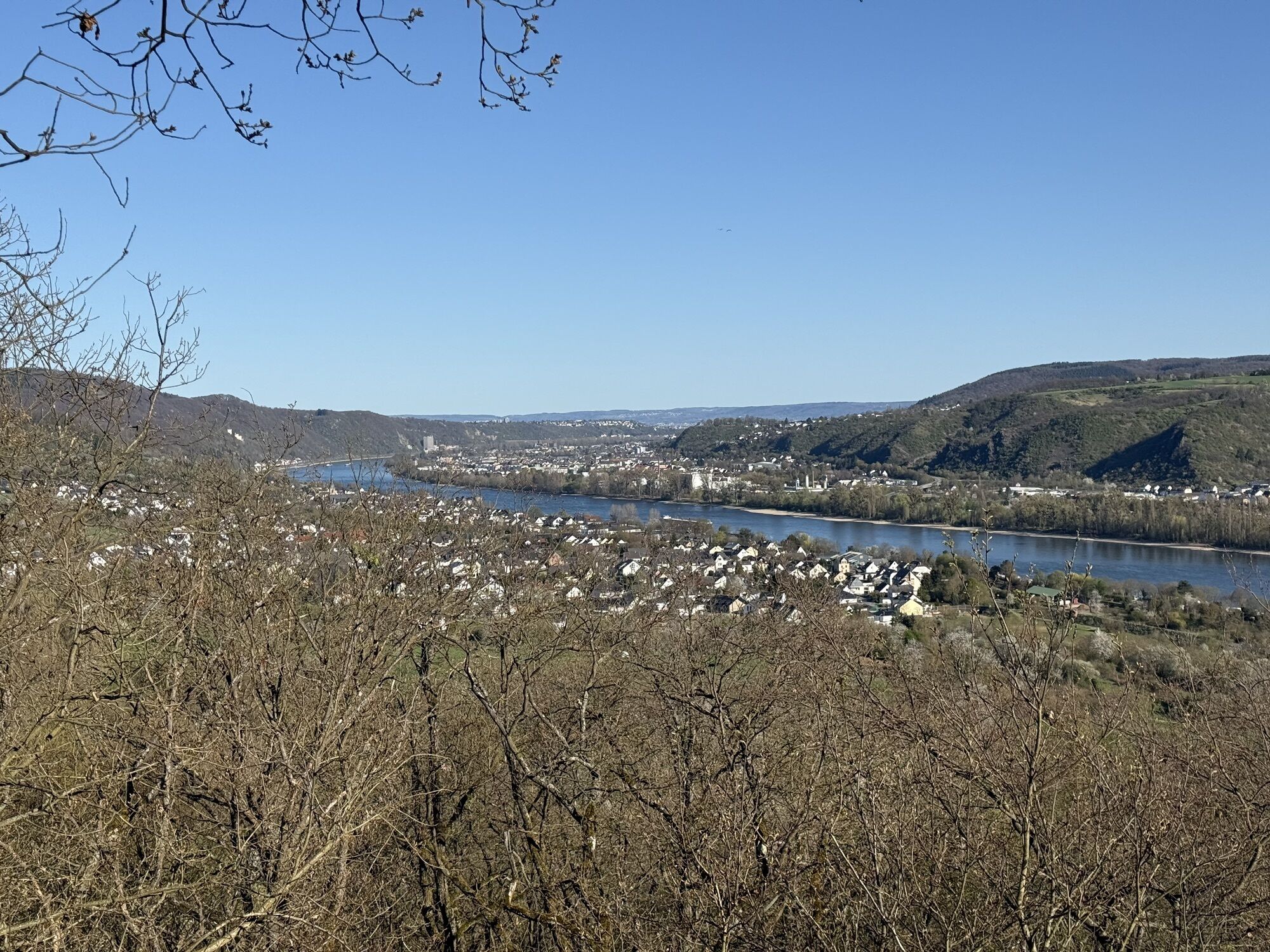
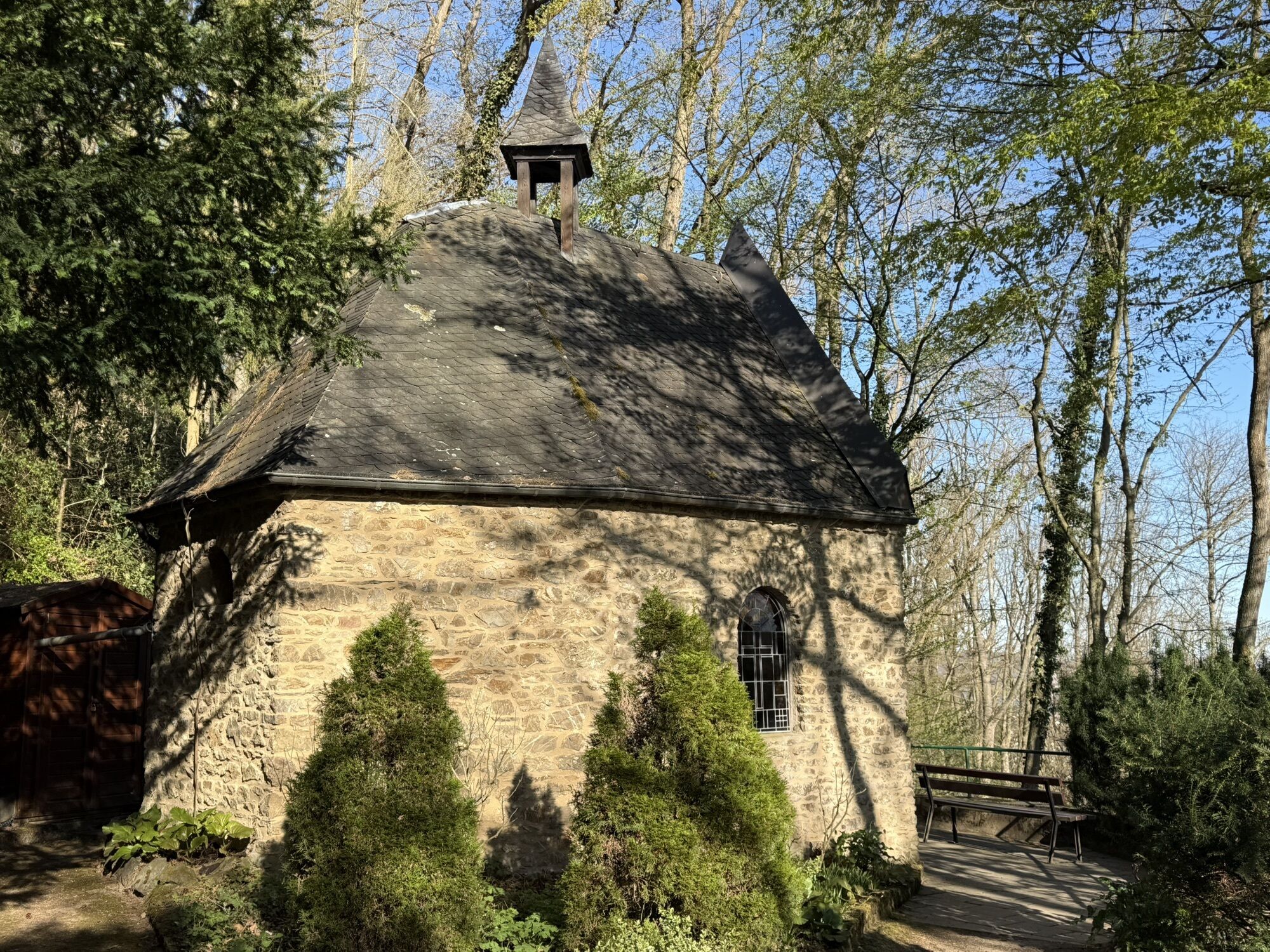
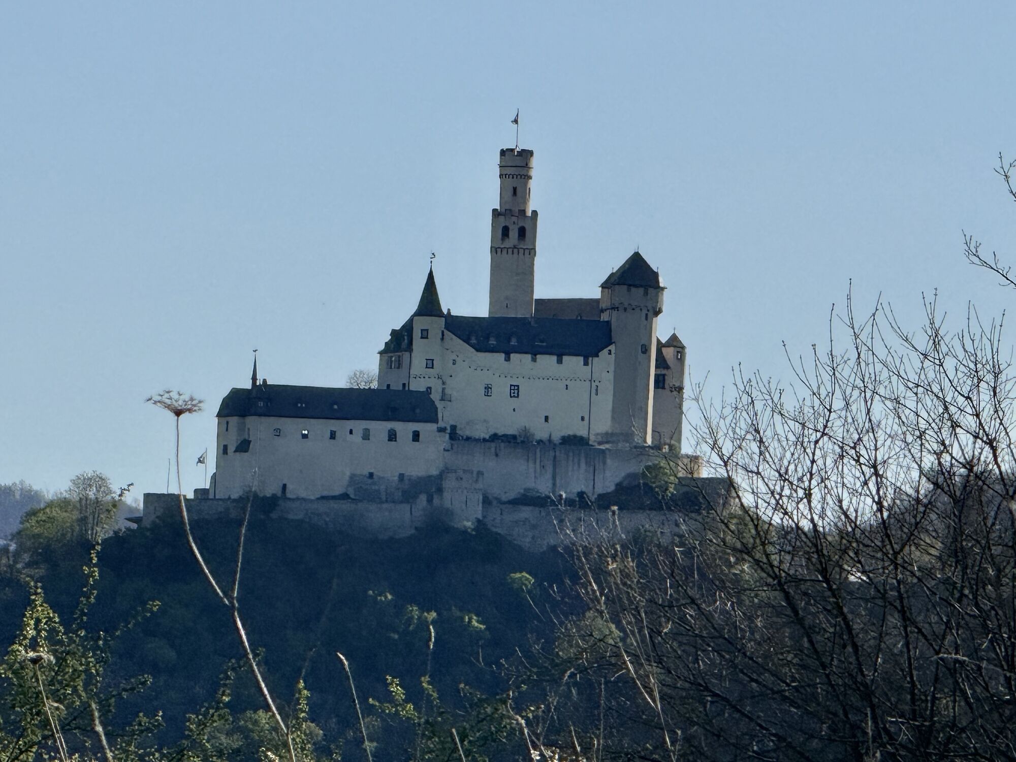
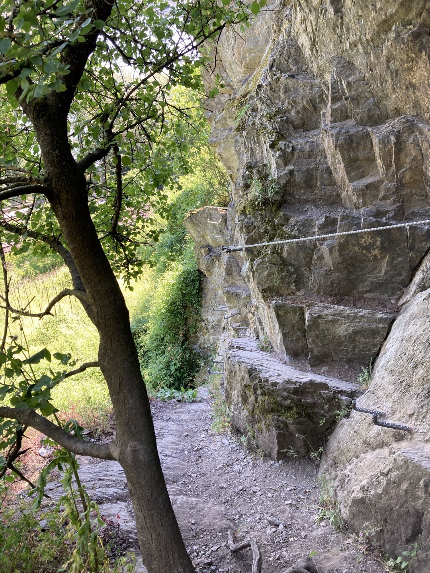
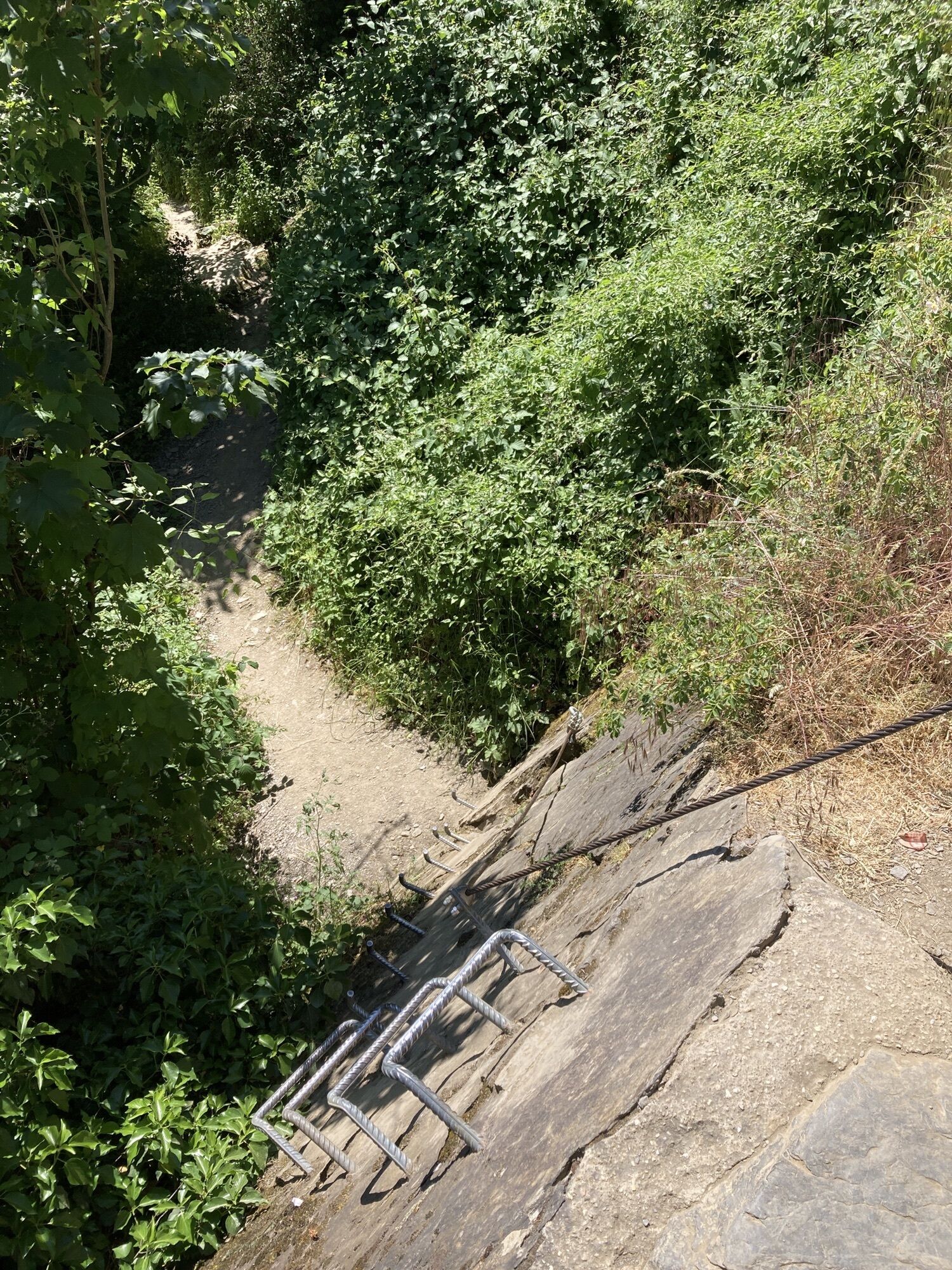
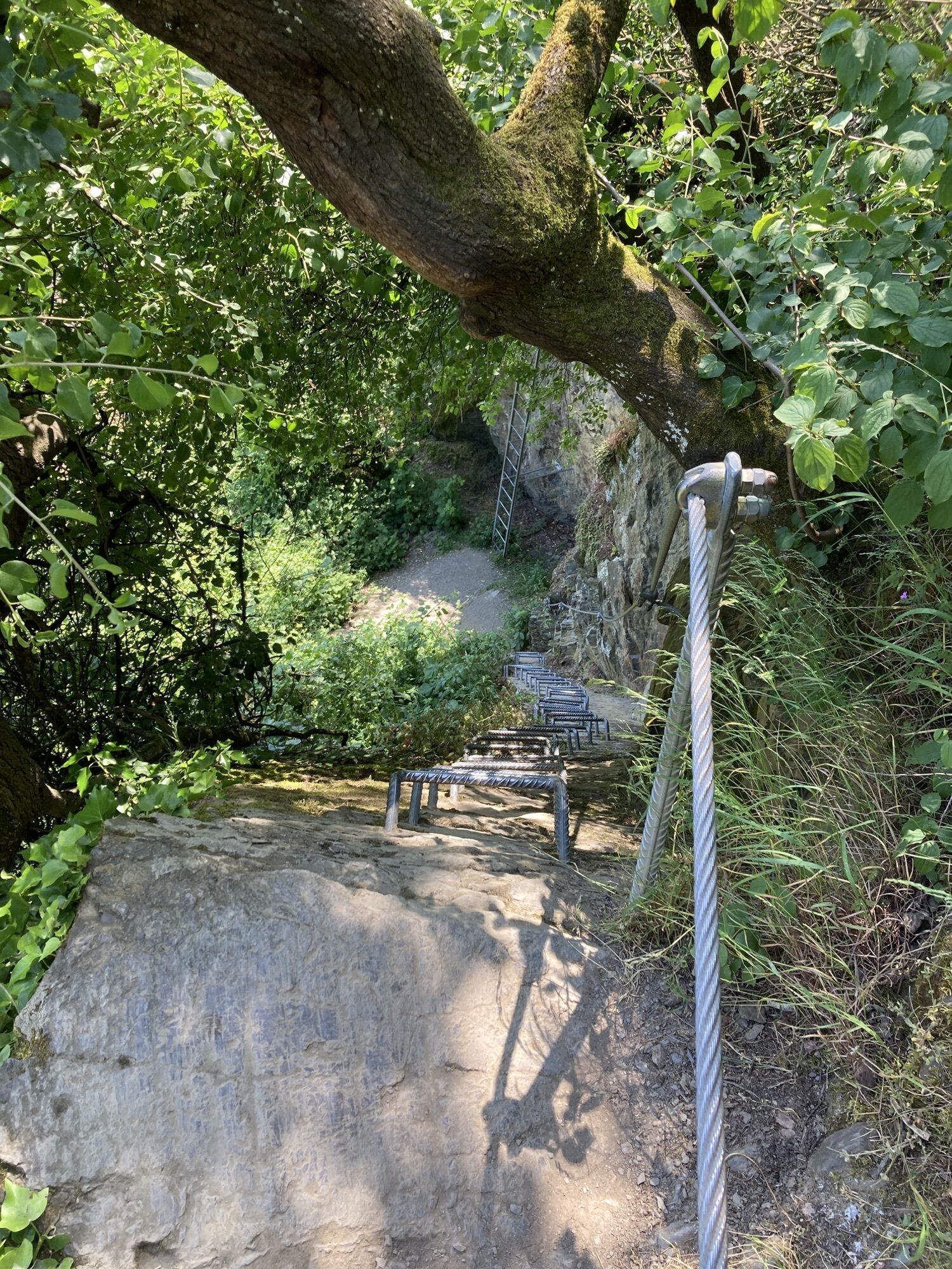
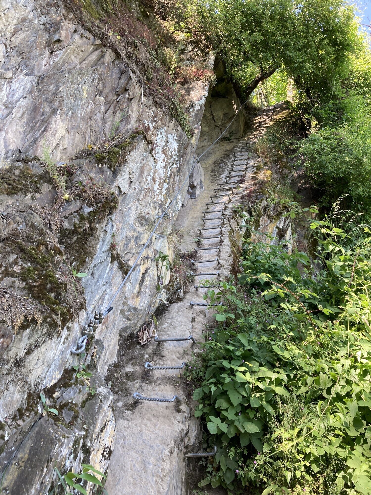
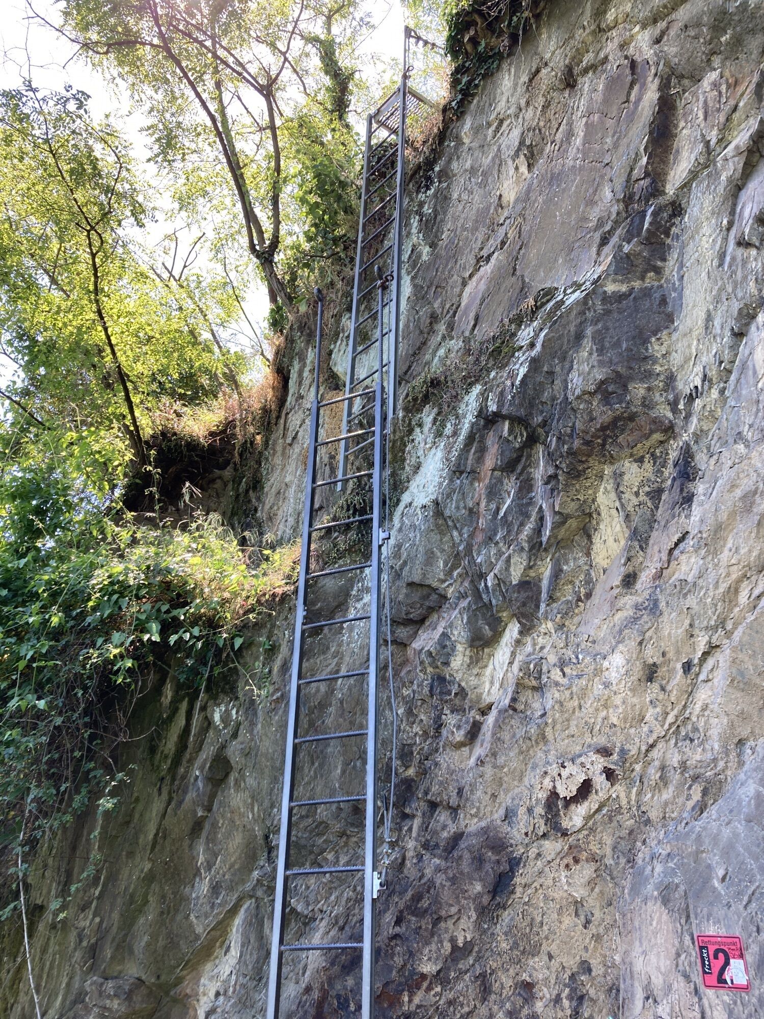
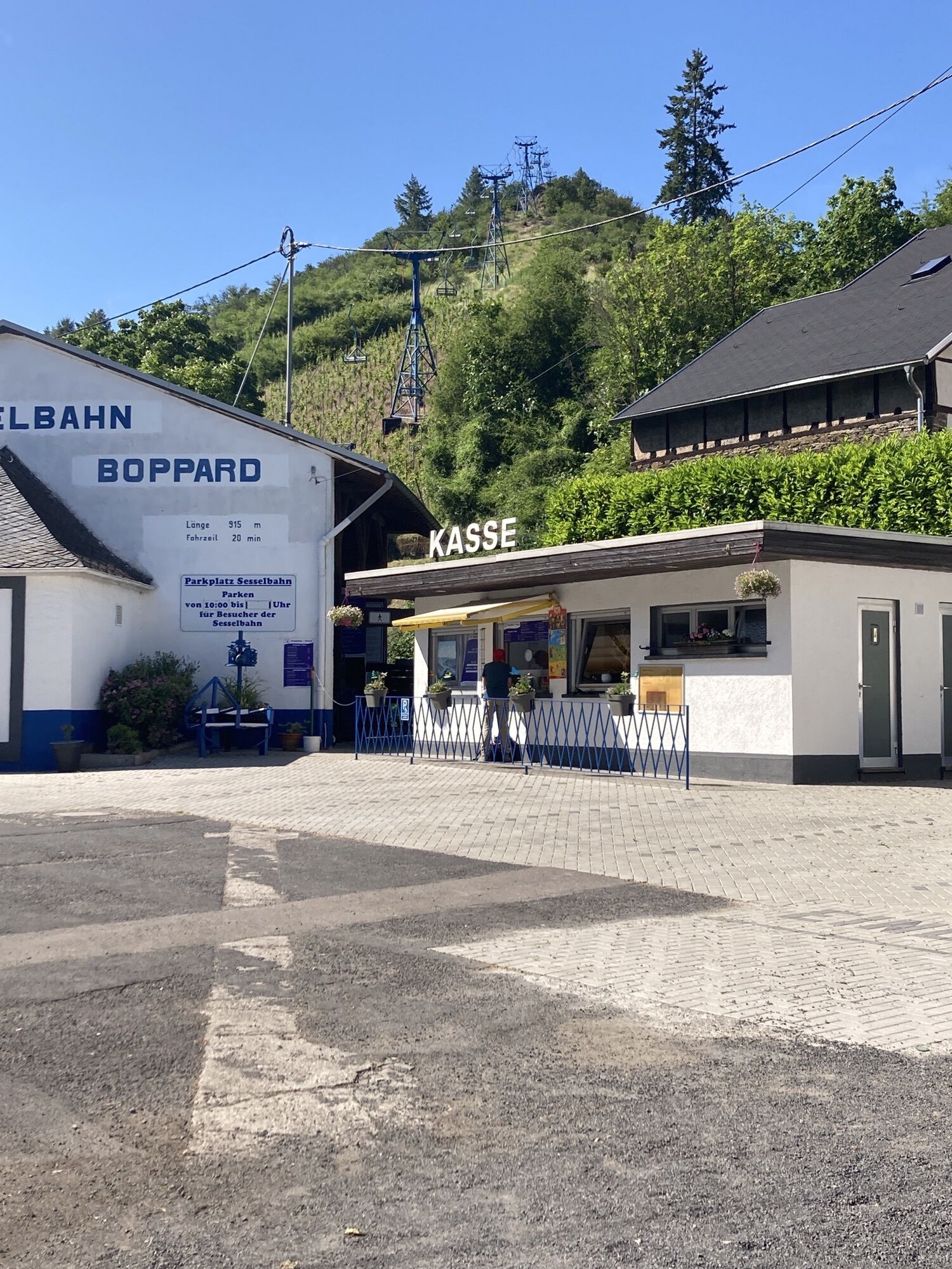

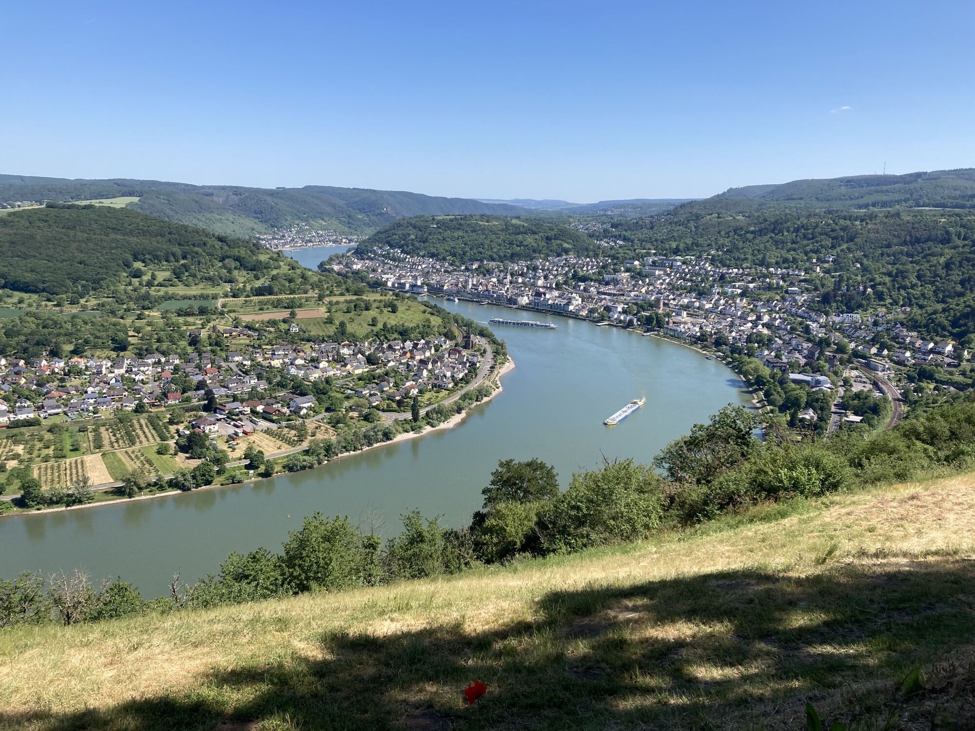
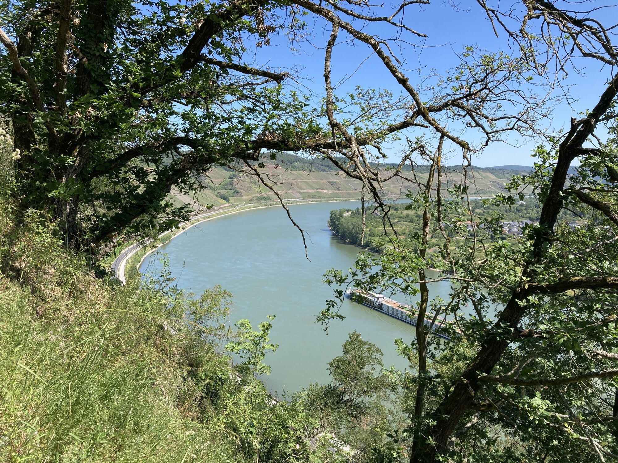
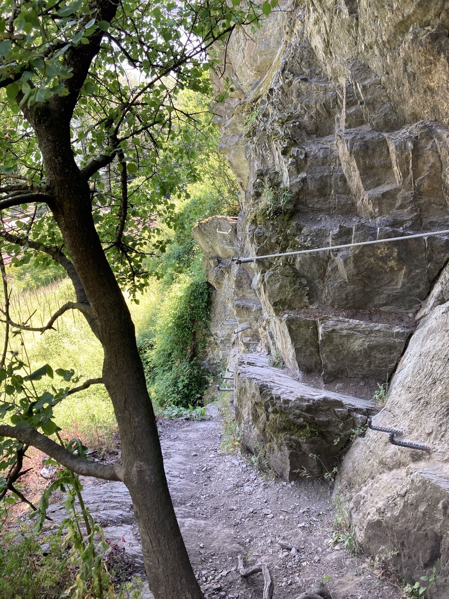

The stage starts in the Mühltal valley via the Ripp rock path with plenty of Rhine panorama on the left. On the right, the Hunsrück railway runs hourly on one of the steepest routes north of the Alps....
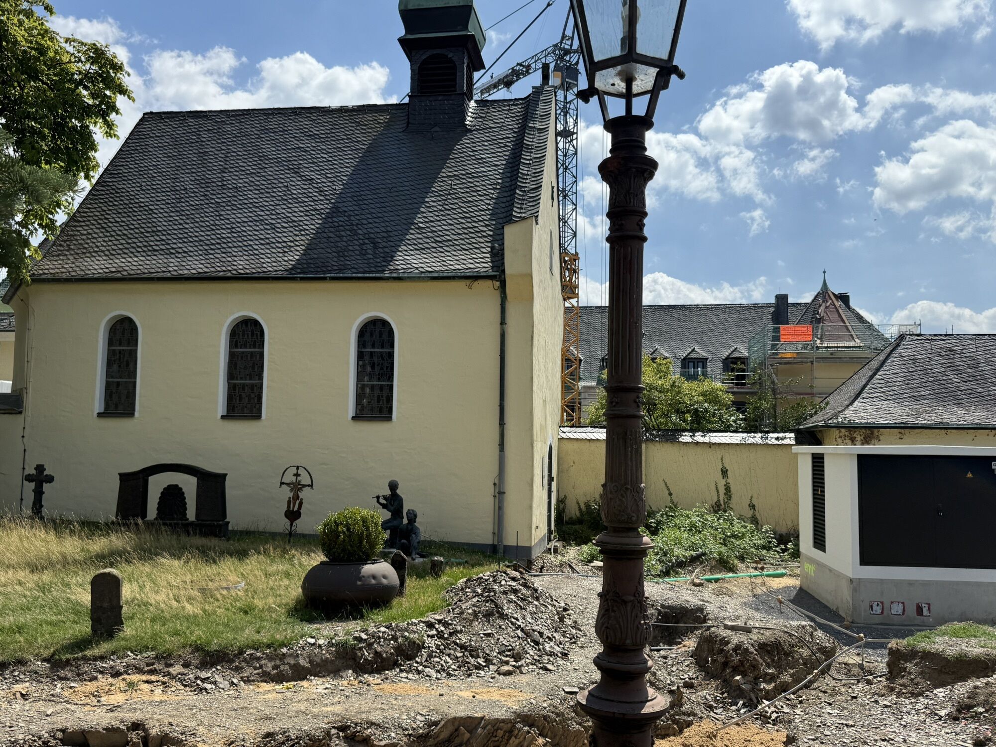
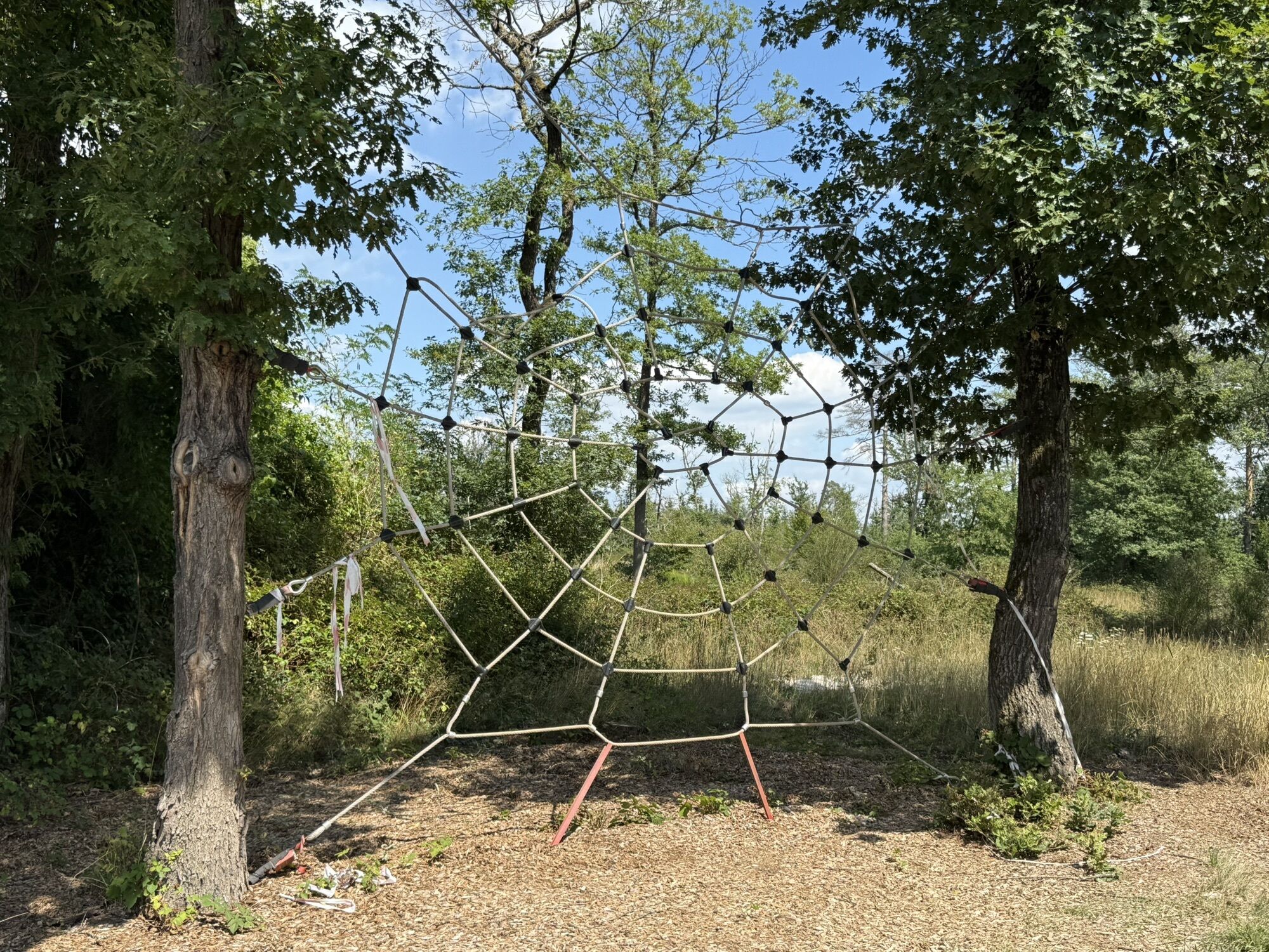
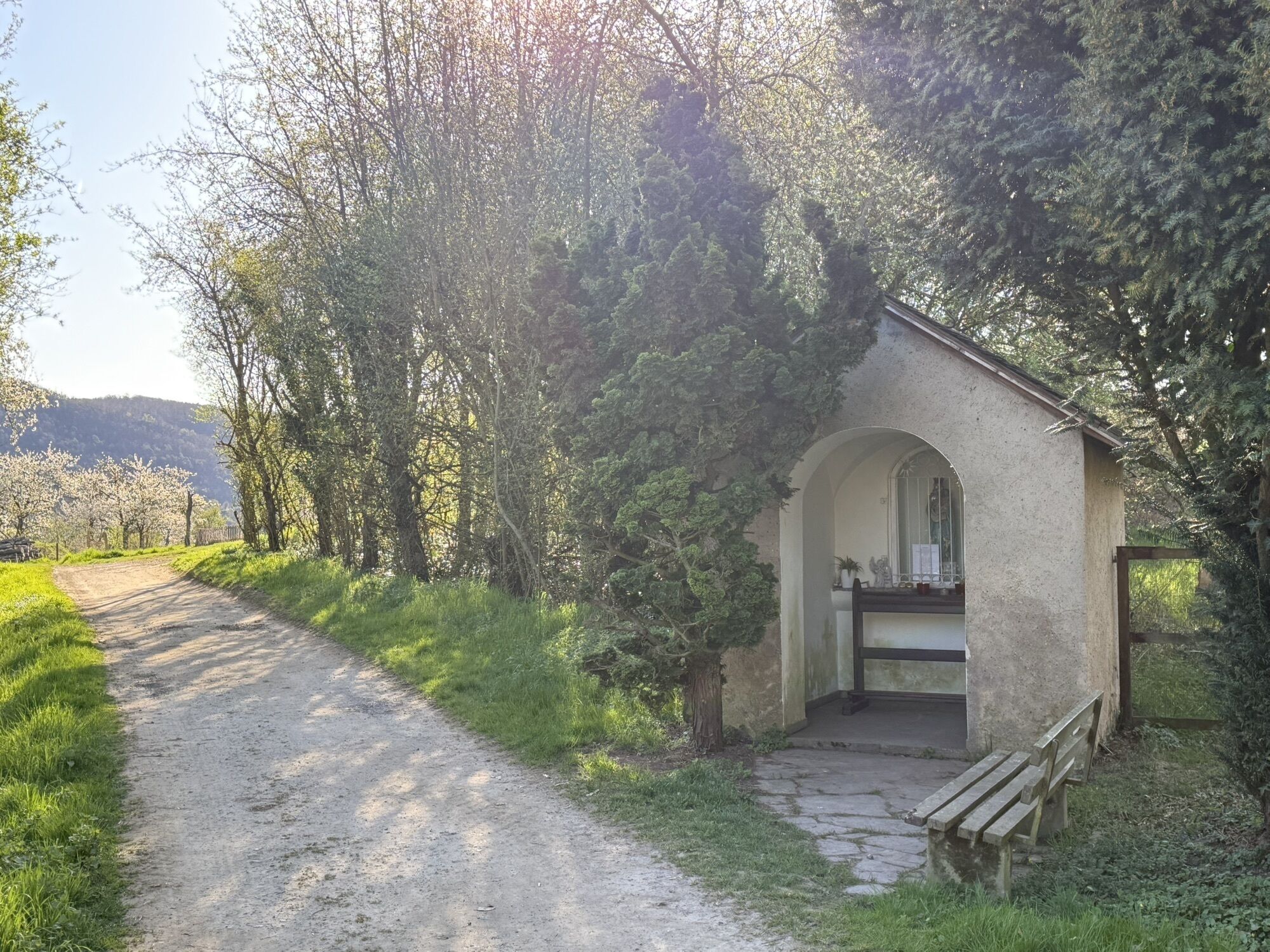
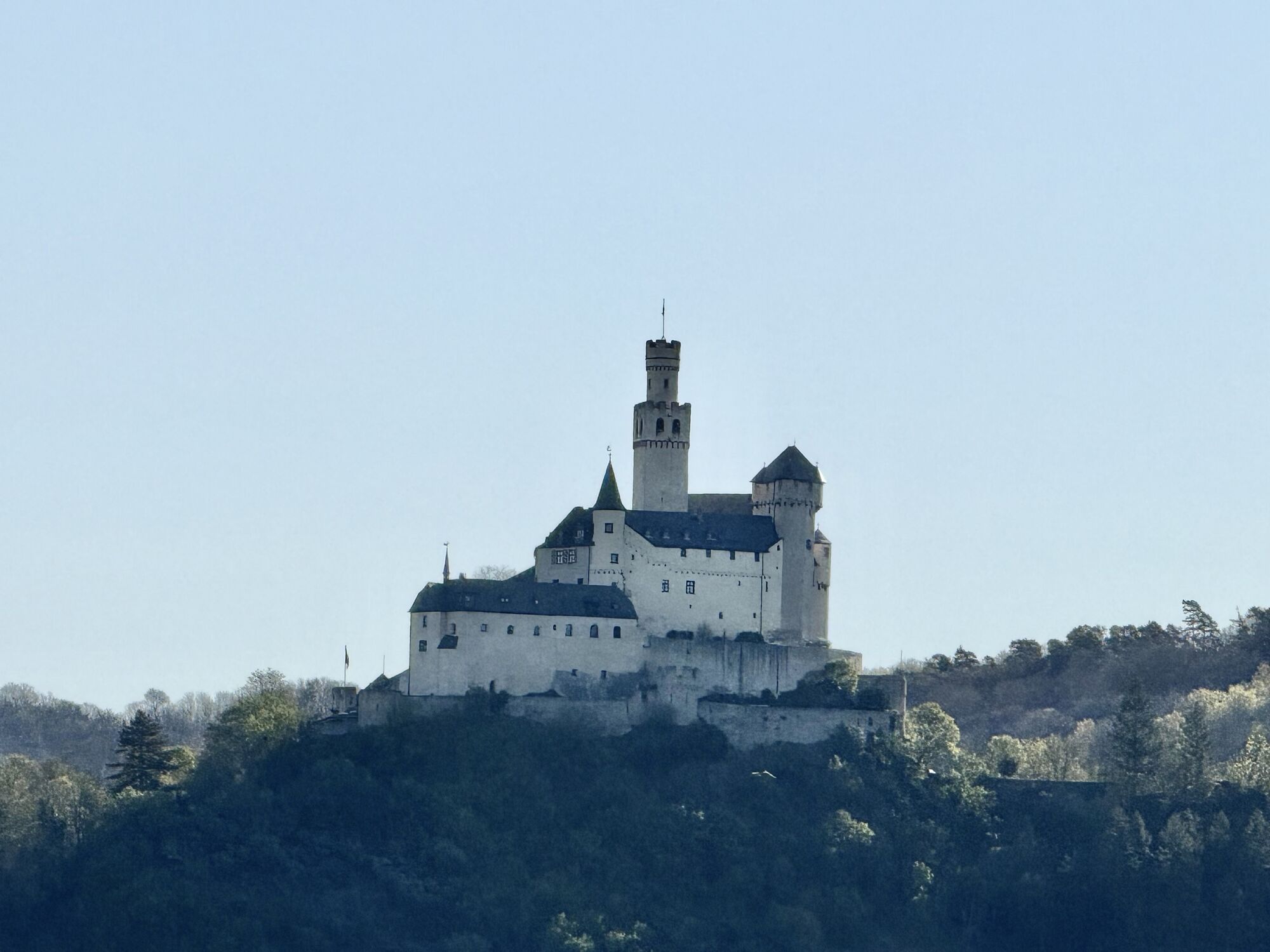
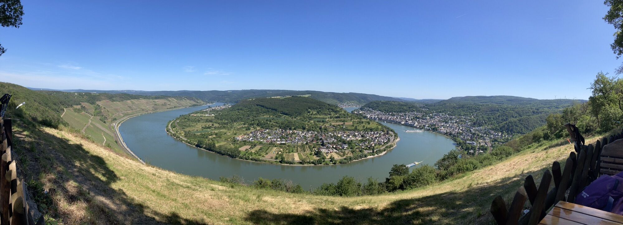
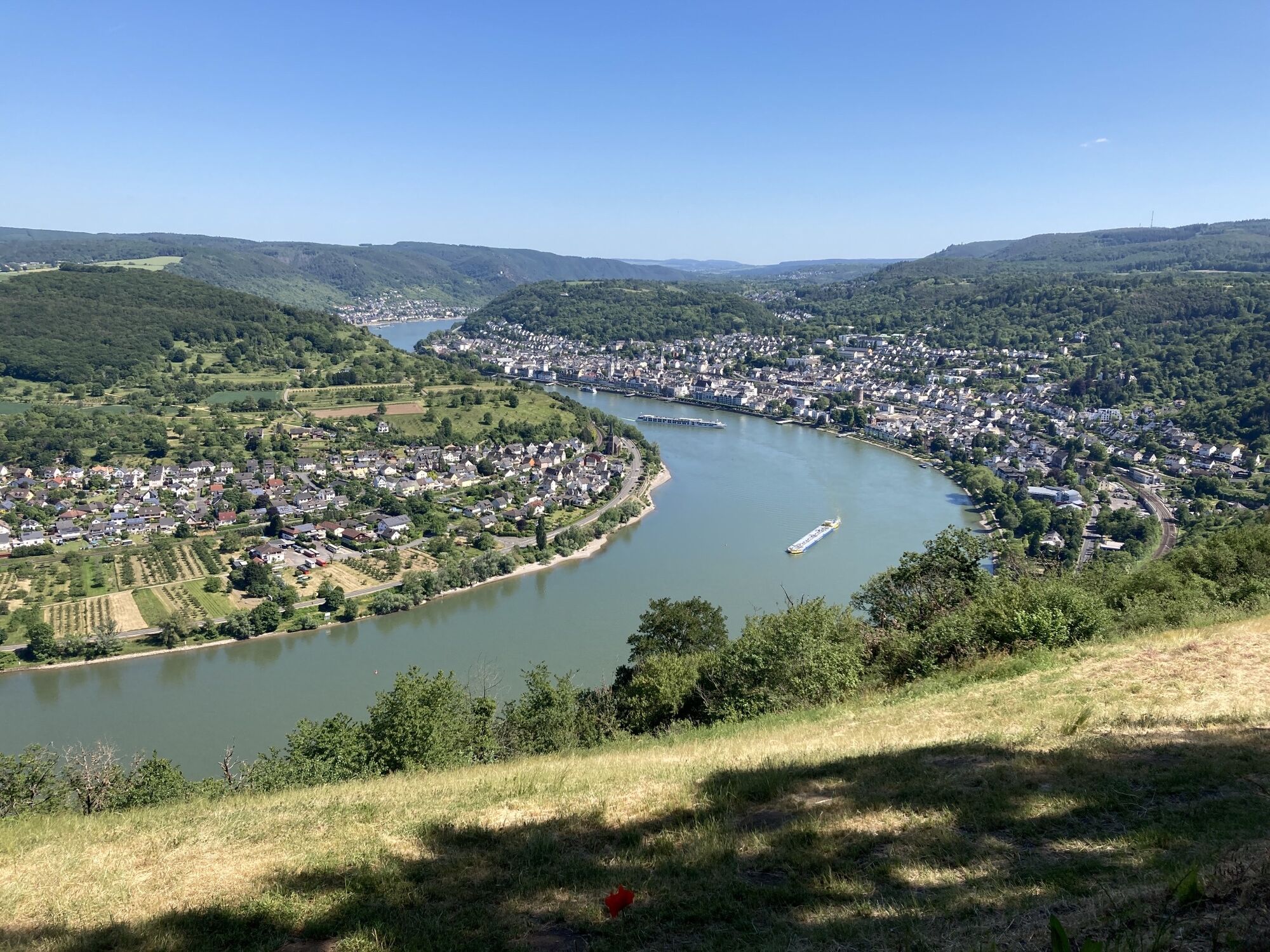
The stage starts in the Mühltal valley via the Ripp rock path with plenty of Rhine panorama on the left. On the right, the Hunsrück railway runs hourly on one of the steepest routes north of the Alps. And just above us, the only ascent aid on the trail: the chairlift to Gedeonseck with panoramic views of the Rhine loop. Only a few hundred metres further on: the Vier-Seen-Blick. Nomen est omen: the changed perspective gives the impression that the Rhine is four individual lakes.Another kind of sight: breathtaking stunts in the bike park.Through shady forests, the wide path leads to the former Jakobsberg monastery estate, followed by the descent into the sunny vineyards of the Bopparder Hamm. 2 kilometres of viticulture up close! The southern location with an ideal angle of inclination to the sun and the Rhine as a heat reservoir are the best conditions for cultivation. It's worth taking a break at every turn, but you'll hardly find any shady spots. It can also get really hot early in the year. Please make sure you have sufficient sun protection.You will reach Siebenborn via fields and meadows, with views of Marksburg Castle again and again. From the Theoretikerhütte, another impressive image of the imposing medieval castle before it is "swallowed" by the forest for the time being on the way downhill to the Mother of God Chapel.On forest and meadow paths, you reach Brey and then the historic centre of Rhens with its numerous half-timbered houses.

Good shoes and sufficient drinks are obligatory
Wine loves the sun;In Bopparder Hamm it can get really hot even early in the year. Please make sure you have sufficient sun protection.
Bingen: A 60 exit Bingen-Ost
Bacharach: A 61 exit Rheinböllen
St. Goar: A 61 exit Emmelshausen
Oberwesel: A 61 exit Laudert
Hirzenach: A 61 exit Emmelshausen
Boppard: A 61 exit Boppard-Buchholz
Rhens: A 61 exit Paffenheck
Koblenz: A 61, A 48
Bingen HbF - Techtingshausen: 4 min.
Trechtingshausen - Niederheimbach: 4 min.
Niederheimbach - Bacharach: 3 min.
Bacharach - Oberwesel: 4 min.
Oberwesel - St. Goar: 6 min.
St. Goar - Hirzenach: 4 min.Hirzenach - Bad Salzig: 3 min.
Bad Salzig - Boppard: 4 min.
Boppard HbF - Spay: 5 min.
Spay - Rhens: 3 min.
Rhens - Koblenz HbF: 7 min.
Bingen HbF - Koblenz HbF: 48 min.
Bacharach: On the B9 Rhine bank
Oberwesel: B9 town wall and Rhine bank
St. Goar: On the B9 Rhine bank
Hirzenach: Rheinstraße
Boppard: Marienberg parking deck, Remigiusplatz Mühltal
For those who want to take it slower: "Ascent" possible with chairlift from Mühltal to Vierseenblick.Ferry connection from Boppard to the other side of the Rhine at Filsen.
Obľúbené výlety v okolí
-
4,6
Traumschleife Ehrbachklamm
ťažkéTuristika 11,0 km -
4,7
Langhalsweg Osterspai
strednáTuristika 7,50 km -
4,8
Murscher Eselsche Dream Loop
strednáTuristika 10,7 km -
5,0
Panorama trail St. Goar
strednáTuristika 8,47 km -
5,0
Dream Loop Upper Baybach Valley
ťažkéTuristika 15,6 km -
4,3
Dream loop Werlau Mushroom
svetloTuristika 5,60 km -
4,7
Schessels Beersche
strednáTuristika 5,44 km -
4,5
Mittelrheinsteig Boppard #LL2ROM V09
ťažkéTuristika 5,01 km -
4,5
Boppard - Restaurant Cafe Vierseenblick - GedeonsEck
ťažkéTuristika 4,99 km -
4,5
Moselsteig Stage 22: Löf – Kobern-Gondorf
ťažkédiaľková pešia trasa 13,7 km

Turistika a stopovanie


Nenechajte si ujsť ponuky a inšpiráciu na ďalšiu dovolenku
Vaša e-mailová adresa bol pridaný do poštového zoznamu.





