





Moselsteig Trail Stage 11: Bernkastel-Kues – Ürzig
This section of the trail passes along the edge of the slope and through tranquil woodland, offering stunning glimpses of the picturesque Old Town in Bernkastel-Kues as far as the idyllic wine-making village...
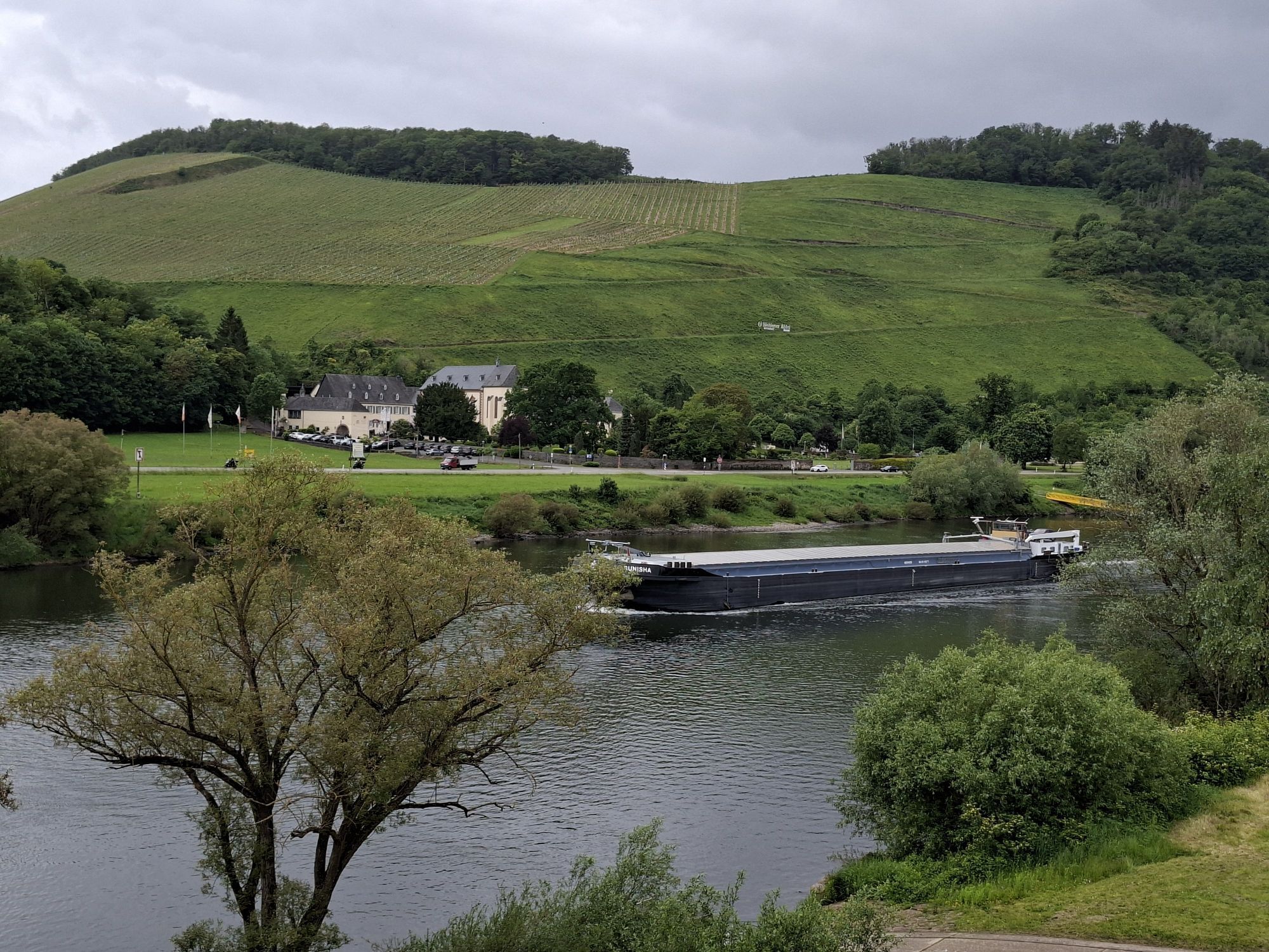
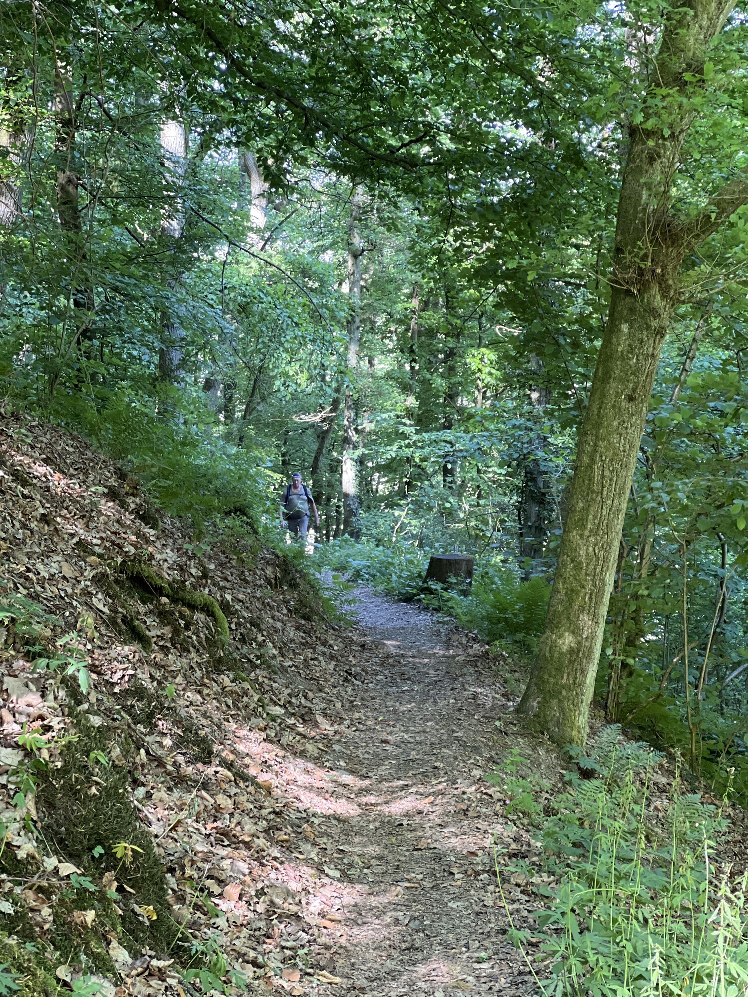
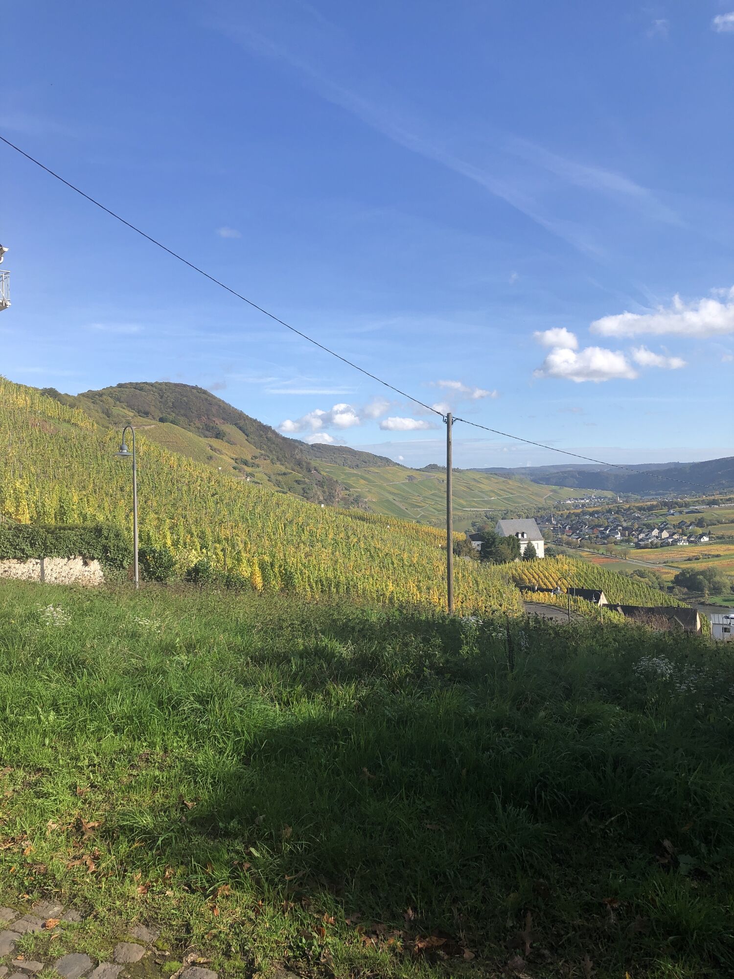
This section of the trail passes along the edge of the slope and through tranquil woodland, offering stunning glimpses of the picturesque Old Town in Bernkastel-Kues as far as the idyllic wine-making village of Ürzig . Along the route the village of Zeltingen-Rachtig and the former Cistercian monastery in Machern provide attractive places to stop off and refuel. Just before Zeltingen-Rachtig, you can also visit the experimental orchard and garden in Zeltingen, in which exotic and long-forgotten native vegetables and fruit are grown. A number of short detours through shaded woodland passages and on grassy paths along the edge of the slope offer variety as well as magnificent views down into the Moselle Valley.
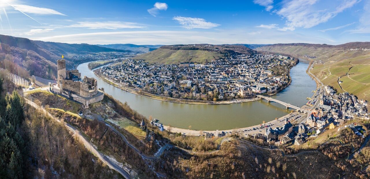
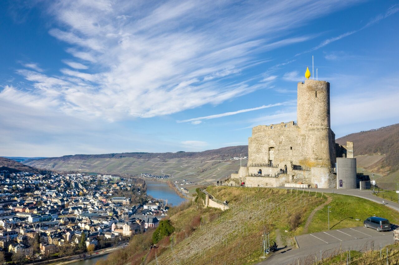
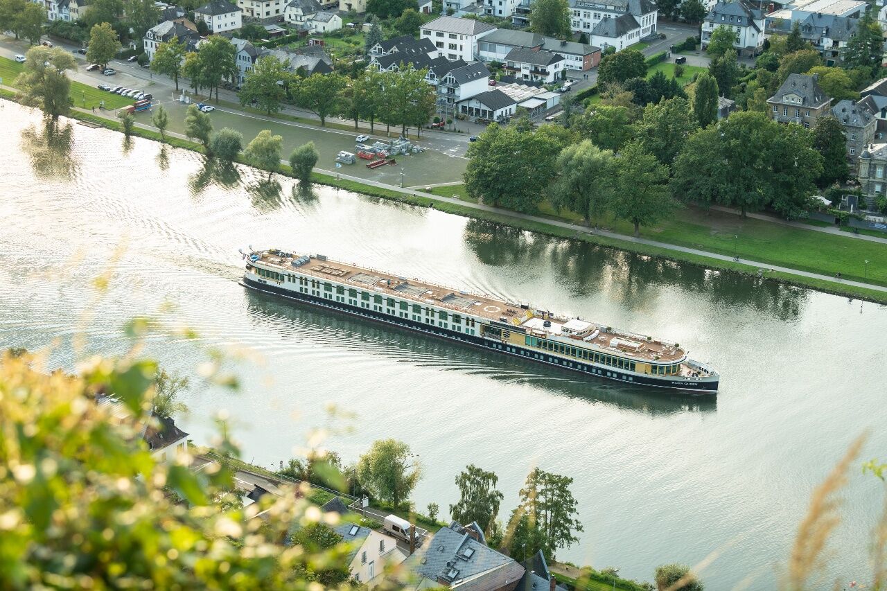

The market place of Bernkastel is a highlight at the beginning of this 11th leg: Timber-framed house typical for the Moselle region, surround the entire square! The access route from the bus station and the Kues city district joins the main trail in direction Ürzig at the market place. The trail leads through the pedestrian zone towards the outskirts of the town. It is hard to imagine that previously a busy highway ran trough these narrow roads. After a few metres in the Kallenfels Valley, the houses are more scattered and give way to a view of the world-famous Doktor vineyard. After you have left the last house behind you, the trail continues steeply uphill - now as path through the forest. The distance to the stream and also the steepness of the path keep changing, and the path continues to climb. You pass a wooden footbridge, then the Moselsteig Trail leaves the course of the stream and continues steeply uphill through a forest of mainly oaks. After a short flat section, it gets quite steep again at the end of the ascent!
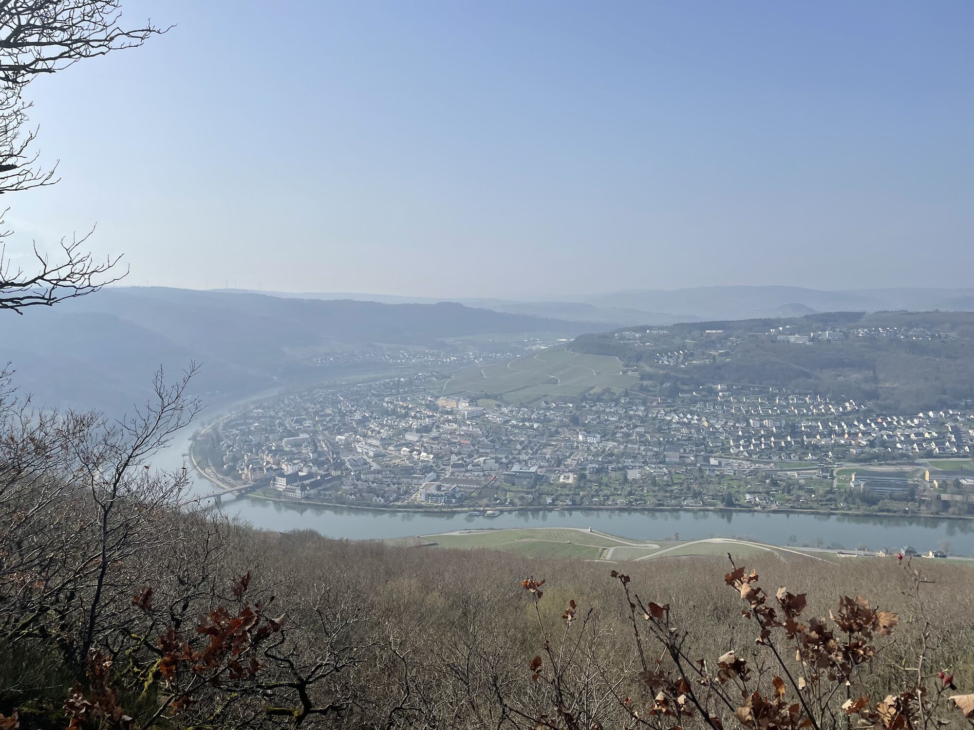
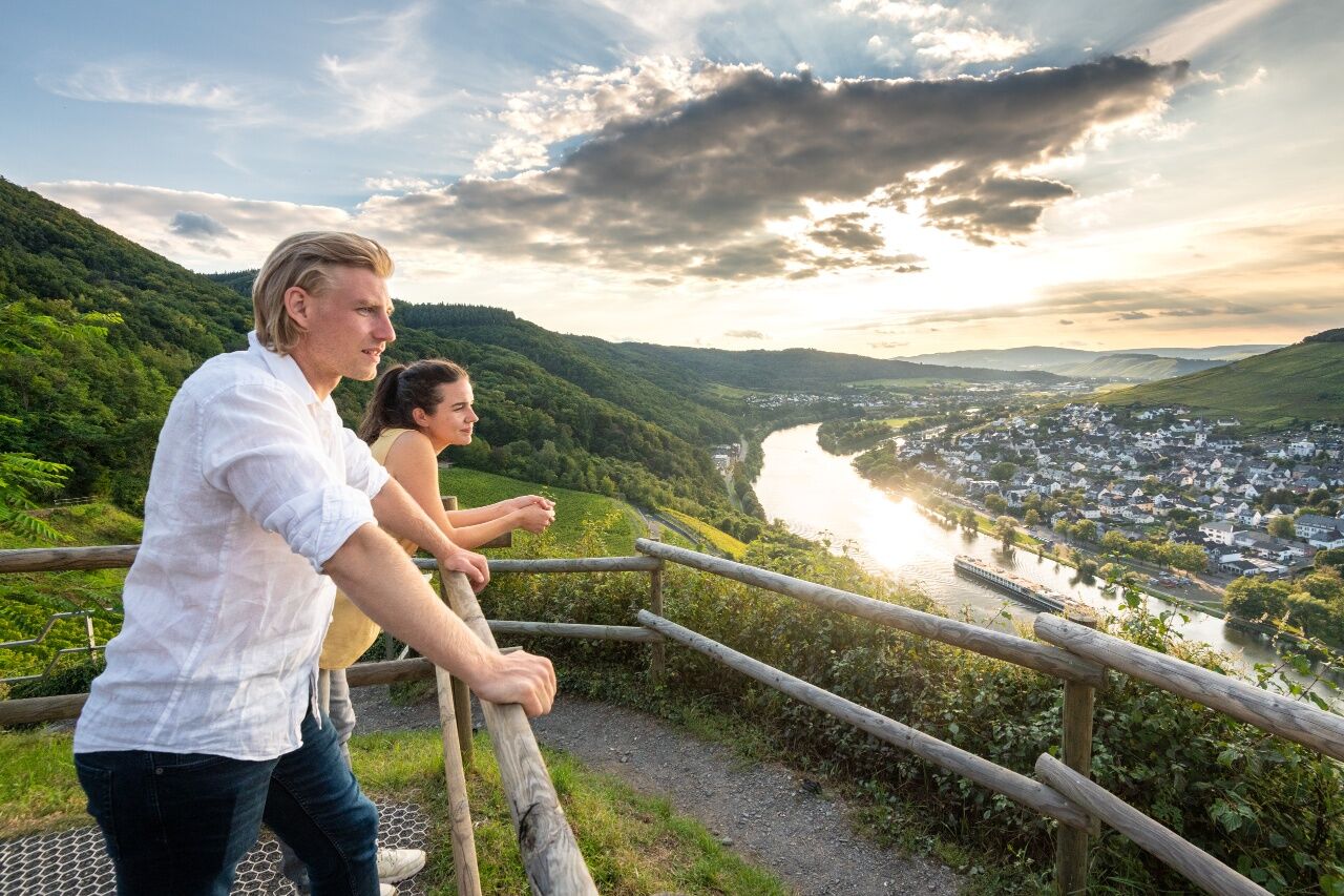
At the edge of the forest you have finally reached the plateau and a few steps further, you arrive at the Maria Zill viewing point at the slope edge. At an altitude of around 400 m above sea level, it is one of the highest and most comprehensive viewing points of the Moselsteig Trail. Bernkastel-Kues lies deep down in the valley and from here, you have a bird’s eye view of the spa clinics on the Kuerser Plateau. The view downstream of the Moselle is also beautiful: Graach, Wehlen and Zeltingen seem just a short distance away. The vista extends to the heights of the Eifel, though several side valleys, right to the Wittlicher Senke.
Hiking along the slope edge and the meadow on the plateau, you arrive at the Maria Zill mountain hut. From here, the Moselsteig Trail continues as a path through the lower oak forest. For a short stretch, the path becomes wider, before you cross a depression while hiking on a clearing and finally arrive at the Graacher sheep farm. Using this path you will quickly get to the first houses of the small residential area on the height. An access route branches off here, which takes you to Graach and Wehlen. The trail continues towards Zeltingen through the forest at a steep incline. As soon as it reaches the edge of the forest and therefore the highest point, the Moselsteig Trail already descends again. A meadow surrounded by forest once again offers you a surprising vista towards the heights of the Eifel. The trail remains in the forest and apart from a short intermediate increase, it descends downhill for a long time. You will quickly reach the edge of the forest and the slope edge and therefore also the vineyards. An access route from the Graacher sheep farm joins the Moselsteig Trail. A section along the edge of the forest and the vineyards or vineyard wastelands follows now - the natural paths and the stunning view of the Moselle Valley make this section particularly beautiful.
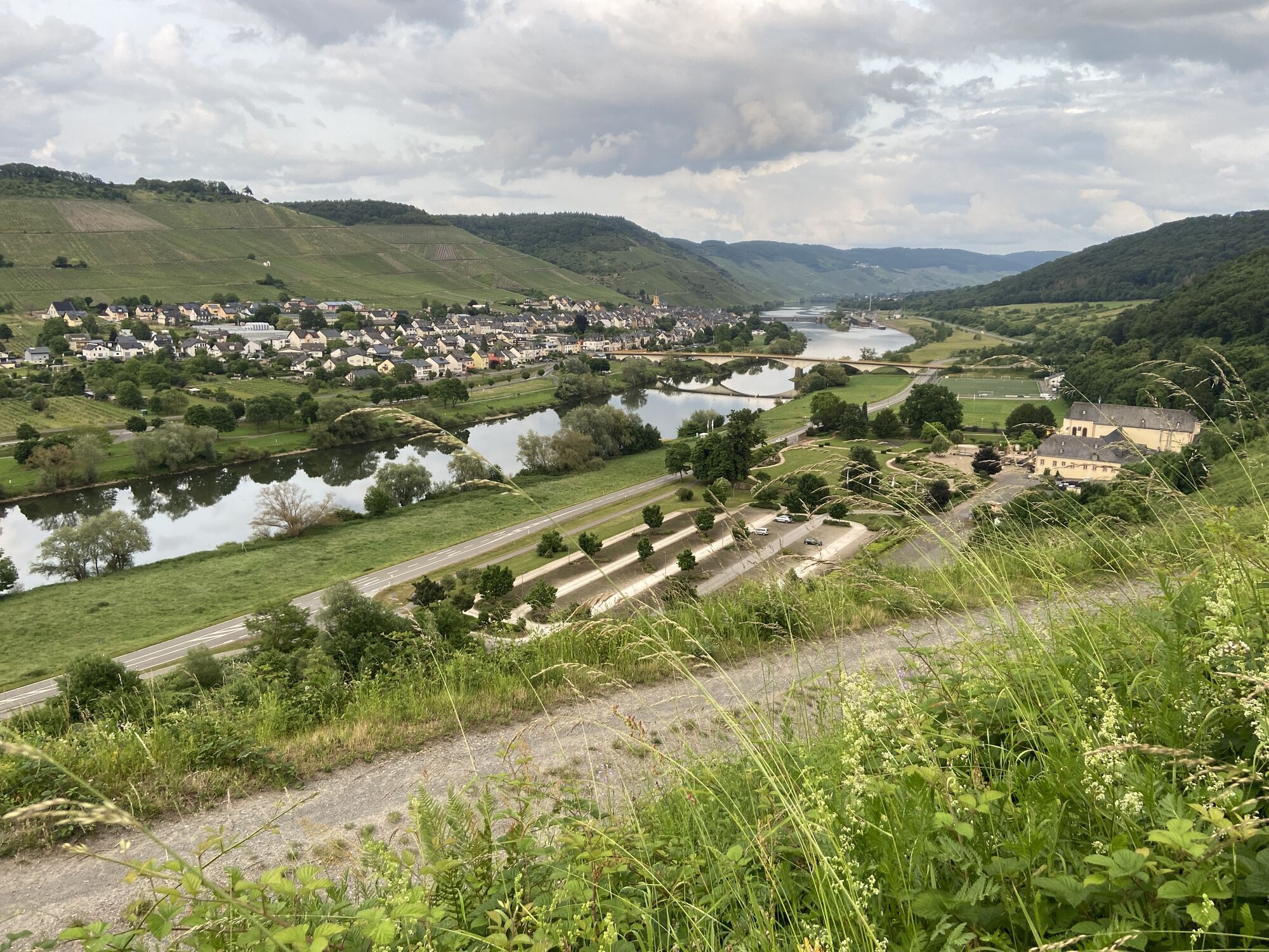
After a swerve through the forest, the tail continues through a holiday house area. The Moselsteig Trail accompanies the slope edge for quite a distance. In between, you have the option of descending to Wehlen via the guided Moselsteig Trail - access route. The Moselsteig Trail continues on the height for a while and you finally arrive at a resting place at the slope edge. Enjoy the views here, they are fantastic! The entire section between Bernkastel and Zeltingen lies at your feet.
A little further the Moselsteig Trail continues on a path which leaves the slope edge at the cross in Engelter and thus the slope edge with its glorious views. Over a steep historical path you reach the Zeltingen variety garden. Here, you can admire both native and exotic plants! From the pavilion you have a wonderful view of Zeltingen, the next stop. Hiking through the variety garden and over a vineyard path, you reach the outskirts of the town, where a little further on, the access route branches off to the town district of Rachtig. At the bridge head, you will find the path to the close-by bus stop.
The Moselsteig Trail continues over the bridge, accompanies the road for a short distance, and reaches the Machern monastery. Behind the monastery, you continue mainly uphill through fallow former vineyards. Half-way, the path maintains its height for quite a distance, before it climbs even higher, in parts, on a narrow pass. Then the Moselsteig Trail branches off from the narrow pass and continues in parallel to the slope. Soon you will cross the construction site of the High Moselle transition, and a short distance below the bridge abutment on the Eifel-side, the Moselsteig Trail passes under the gigantic construction project. Behind the construction site, the trail reaches the edge of the forest. Take another look back: You get an excellent view of the section you have travelled so far!
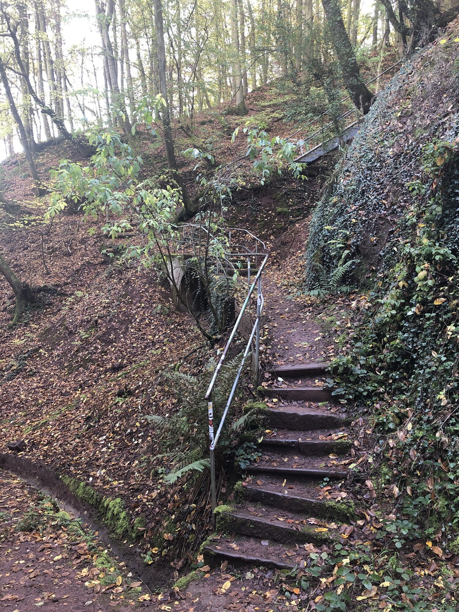
In the forest, you continue to a water container. And from here, steeply downhill into a ravine and over a footbridge and stairways. The last section to Ürzig once again climbs steeply on a narrow pass. Close to the last serpentine of the L 56 you will arrive at the destination of this leg, in Ürzig. A steep access route with a few steps takes you to the lower part of Ürzig, where you will also find the bus stop at the banks of the Moselle.
Leisure Map Moselsteig Trail – Map 2: Trier - Zell (Mosel) (Stages 5 - 14), ISBN: 978-3-89637-420-2
Sturdy hiking footwearAppropriate weatherproof hiking gearPicnic lunch
Starting point: Bernkastel-Kues via the B 53
Destination – Ürzig: A 1, Wittlich-Mitte (Centre) exit, follow the B 50 towards Zentrum (Centre), B 49 to Cochem, continue along the L 55 to Ürzig
There are irregular connections. Please note that during the school vacations of Rhineland-Palatinate / Saarland, at weekends and on public holidays there may be restrictions on the frequency! Please check the daily timetable on the website of the Verkehrsverbund Region Trier (VRT):
Bernkastel-Kues: Large car park on the bank of the Moselle (pay car park at certain times)
Ürzig: small car park directly at the start at the junction of Bergstraße and Römerstraße, large car park on the B 53 on the bank of the Moselle, from where there is a 0.8 km walk to the starting point
Zeltingen-Rachtig: Car park on the bank of the Moselle (0.2 km walk to the Moselle Bridge)
The atmosphere in Zeltingen Orchard is particularly lovely in the evening when the autumnal tints of the vineyards bathe the slopes in a golden light.
Získajte prehľad
Vždy naživo na mieste s viac ako 9 500 webovými kamerami. bergfex Ako používateľ Pro si teraz môžete pozrieť príslušné webové kamery pre mnohé zájazdy v aplikácii zájazdy z. Môžete si tak priamo prezerať aktuálne podmienky.
Obľúbené výlety v okolí
-
5,0
Moselsteig Stage 11: Bernkastel-Kues - Ürzig
strednádiaľková pešia trasa 17,1 km -
4,2
Moselsteig stage 14: Reil – Zell (Mosel)
svetlodiaľková pešia trasa 12,4 km -
4,7
Star route around Bernkastel-Kues - Route 2: Circular route on the Mosel Cycle Route via Trittenheim to Bernkastel-Kues
svetloCyklistika 57,0 km -
Moselsteig (entire route). Your way to experience more.
strednádiaľková pešia trasa 348,8 km -
5,0
Moselsteig Detour Graf Georg Johannes route
strednáTuristika 14,1 km -
4,5
Moselsteig stage 12: Ürzig – Traben-Trarbach
strednádiaľková pešia trasa 15,1 km -
4,0
Moselsteig side route Leiermannspfad
strednáTuristika 10,9 km -
5,0
Moselsteig stage 13: Traben-Trarbach – Reil
strednádiaľková pešia trasa 15,3 km -
4,0
Mosel cycle path (entire route): From Perl to Koblenz
ťažkéDiaľková cyklotrasa 247,9 km -
5,0
Traben-Trarbach - Bernkastel en terug
strednáTuristika 17,2 km

Turistika a stopovanie


Nenechajte si ujsť ponuky a inšpiráciu na ďalšiu dovolenku
Vaša e-mailová adresa bol pridaný do poštového zoznamu.





