



Silz Gossersweiler-Stein Nordic Walking Tour 1

UFFBASSE! - Campaign for considerate coexistence in nature
Always act with foresight, kindness and consideration towards everyone you meet along the way. Respect nature, do not destroy plants and...UFFBASSE! - Campaign for considerate coexistence in nature
Always act with foresight, kindness and consideration towards everyone you meet along the way. Respect nature, do not destroy plants and always stay on the paths. Try to avoid excessive noise and leave the forest before dusk. Remember to bring a rubbish bag for the road and take rubbish home with you. Please keep your dog on a lead at all times. Other visitors and animals will thank you. For your own safety, observe all road closures, even at weekends. Park only in designated parking areas. Leave space for emergency vehicles and agricultural machinery. Please give priority to agricultural and forestry traffic.www.pfalz.de/uffbasse
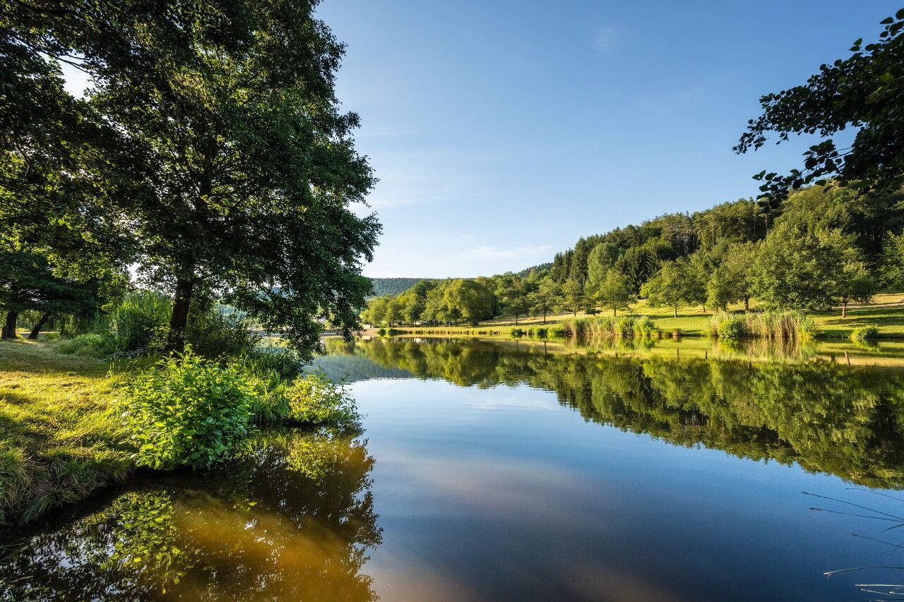
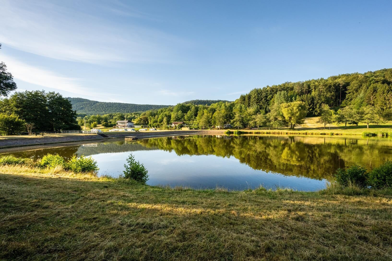
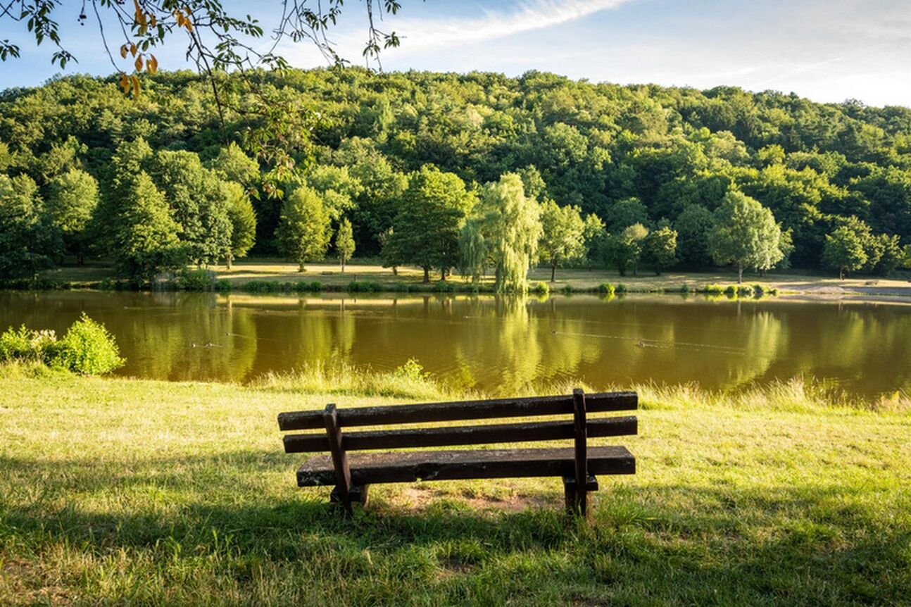
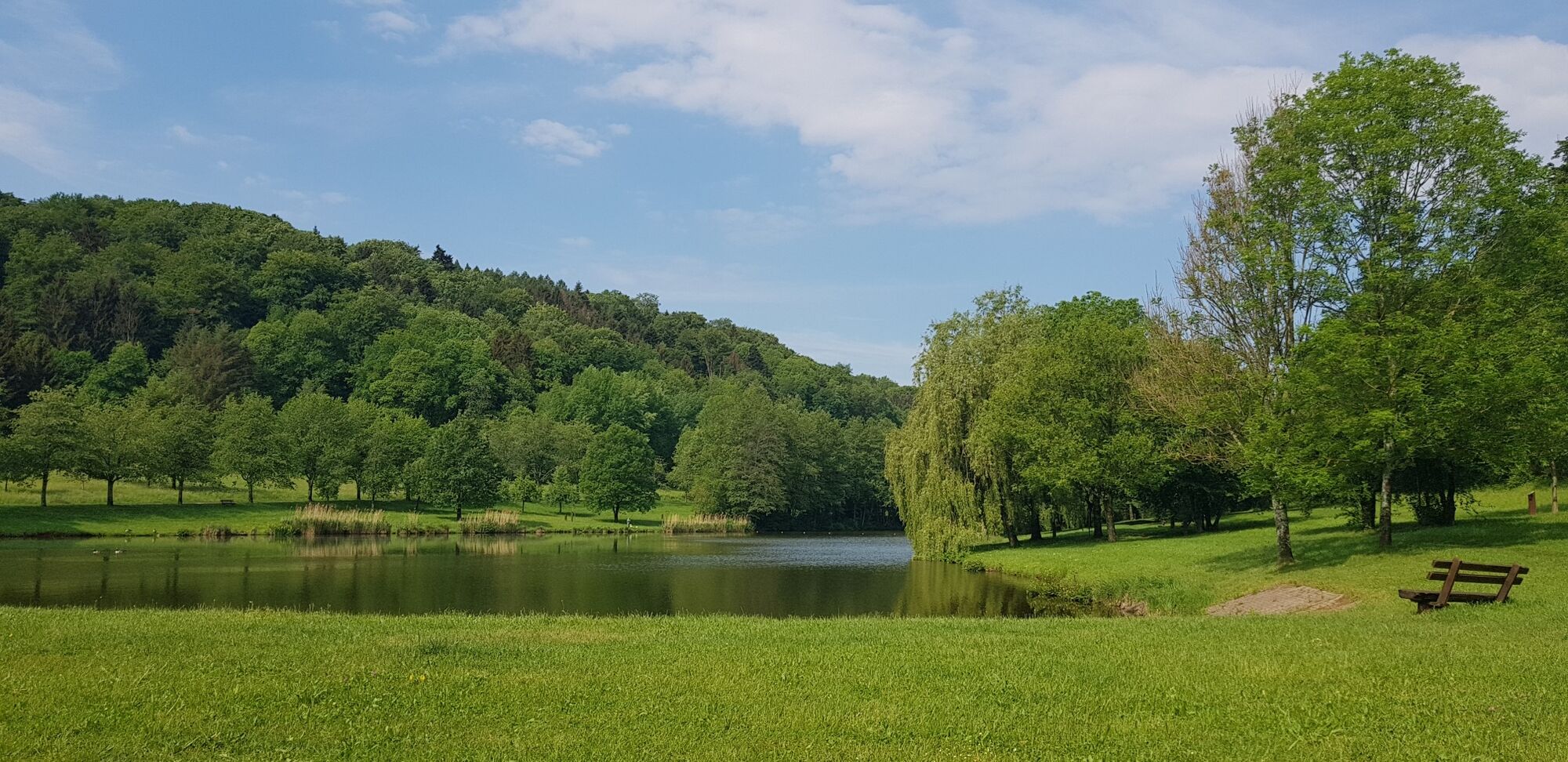

From the car park we walk once clockwise around the lake.
Hiking map "Hauenstein-Trifelsland" (scale 1:25,000), Pietruska-Verlag
Nordic walking poles recommended.
Especially in autumn, you should also be aware that the leaves lying on the ground can hide bumps, roots, stones or holes in the path. You have to expect this kind of path obstruction when you go on a hike. If you think that certain sections of the path are not passable for you, you should avoid them. Especially in adverse weather conditions, muddy and slippery passages can occur on natural paths.
From Annweiler on the B 48 towards Bad Bergzabern, then turn off towards Silz; from the Südliche Weinstrasse (Klingenmüster) towards Silz; from Bad Bergzabern via Birkenhört towards Vorderweidenthal, then turn off towards Silz.
Accessible by bus
Sustainable travel by public transport in the Trifelsland.
Take bus 531 from Annweiler am Trifels or from Klingemünster to Silz. The distance from the bus stop in the centre of the village to the exit of the route is about 1km, which takes about 12-15 minutes on foot.
At the sports field in Silz (exit in the direction of the Wild- und Wanderpark / Bad Bergzabern) and at the Lindenplatz in the centre of Silz.
Refreshment stop: Restaurant in the Silz Game and Hiking Park (approx. 1.5km from the lake).
Obľúbené výlety v okolí
-
4,8
Dahner Felsenpfad
strednáTuristika 13,2 km -
4,9
Napoleon-Steig
strednáTuristika 12,3 km -
4,6
Bruchweiler-Bärenbach - Jüngstberg - Drachenfelshütte - Drachenfels
strednáTuristika 13,6 km -
4,2
Eschbach-Trifelsblick-Madenburg-Eschbach
svetloTuristika 9,37 km -
3,8
Dahn - Lachberg - Vogelsberg
strednáTuristika 18,7 km -
5,0
Palatinate Weinsteig Stage 08 Dernbach - Annweiler am Trifels
ťažkédiaľková pešia trasa 14,4 km -
4,5
Northern Vosges - Circuit of the 4 castles
strednáTuristika 6,49 km -
4,5
Schusterpfad
strednáTuristika 16,4 km -
4,5
Eyberg-Tour (Variante)
strednáTuristika 11,4 km -
4,5
Erfweiler - Hahnberg - Kahlenberg - Schindhard
strednáTuristika 14,6 km
Turistika a stopovanie


Nenechajte si ujsť ponuky a inšpiráciu na ďalšiu dovolenku
Vaša e-mailová adresa bol pridaný do poštového zoznamu.


