Navigácia na stránke
Získajte túto prehliadku v mobilnom telefóne
Mapa
Bike tour Upper Middle Rhine Valley World Heritage - South

stredná
Cyklistika
58,85 km
Naskenujte kód QR a spustite navigáciu v aplikácii bergfex
QR Code
Turistika a stopovanie

Bike tour Upper Middle Rhine Valley World Heritage - South

Vzdialenosť
58,8 km
Trvanie
04:30 h
Ascent
75 hm
Hladina mora
67 - 97 m

Úroveň náročnosti: 3
Stiahnutie skladby
Mapa
Bike tour Upper Middle Rhine Valley World Heritage - South
stredná
Cyklistika
58,85 km

From the starting point in Oberwesel, head downstream along the Rhine with views of the Loreley to St. Goar, where we cross by ferry to the twin town of St. Goarshausen. From the heights, the castles Rheinfels,...

Opis

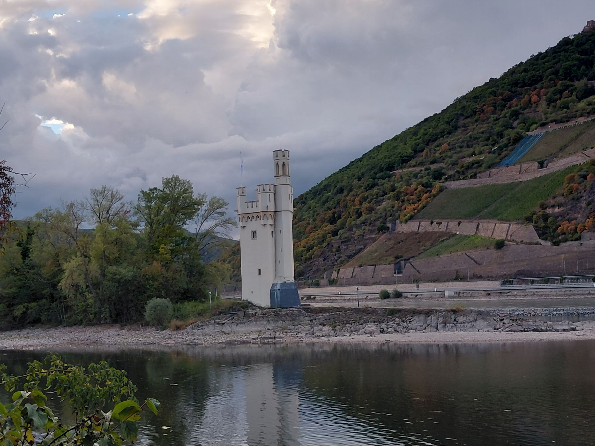
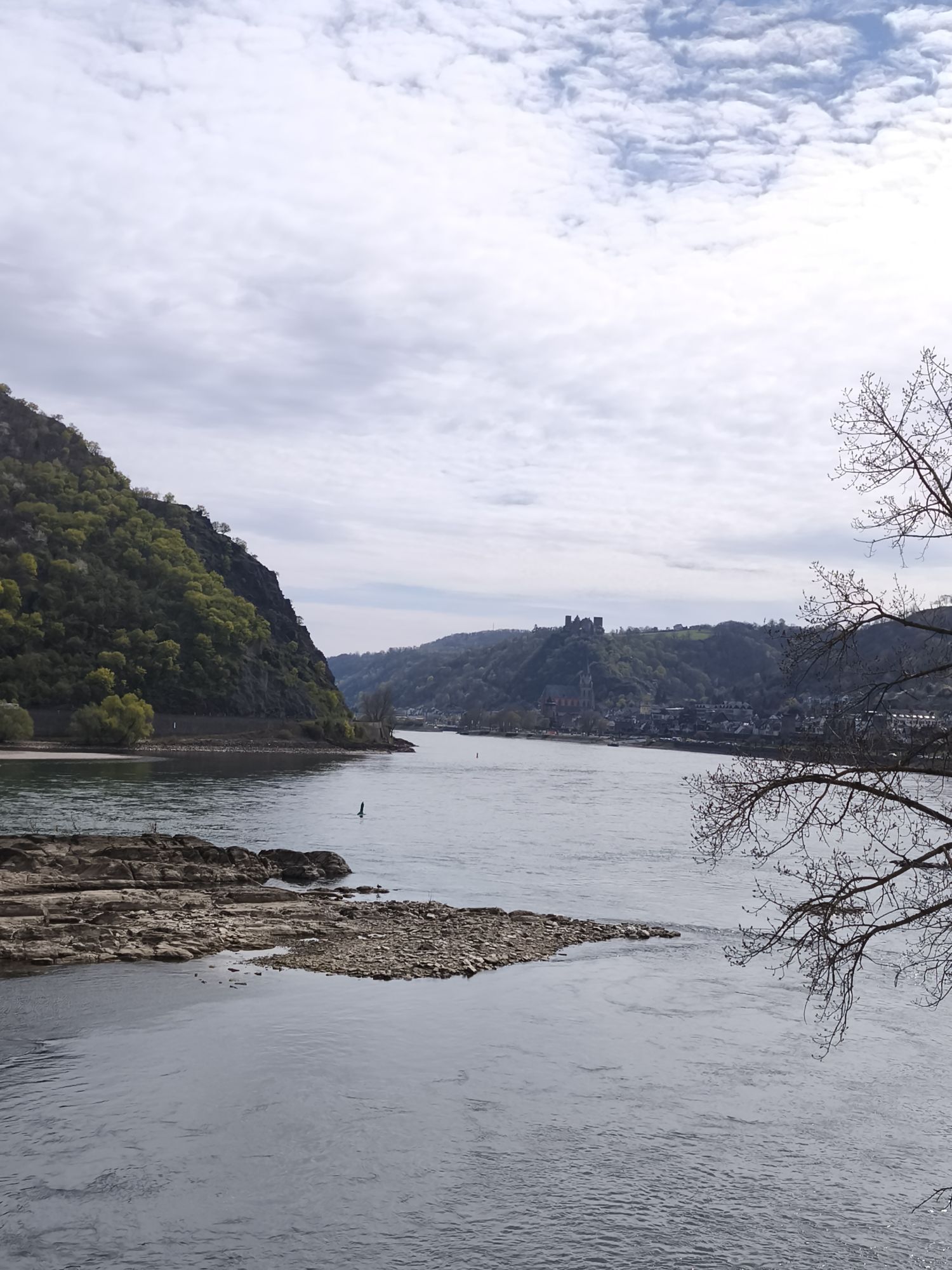
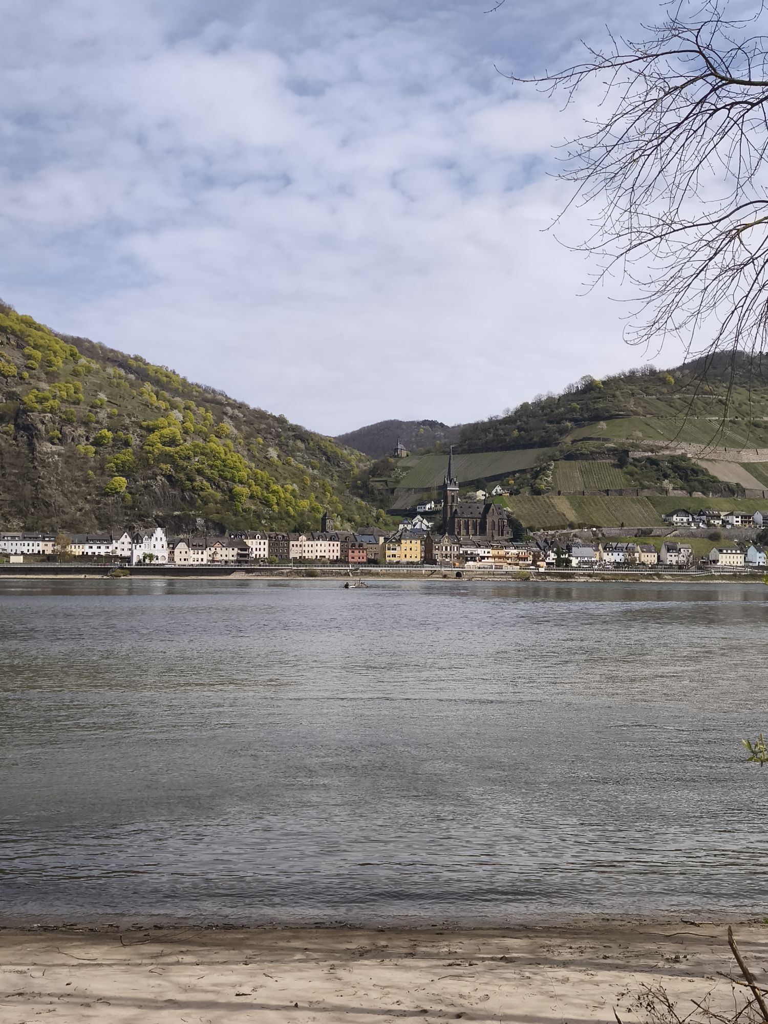
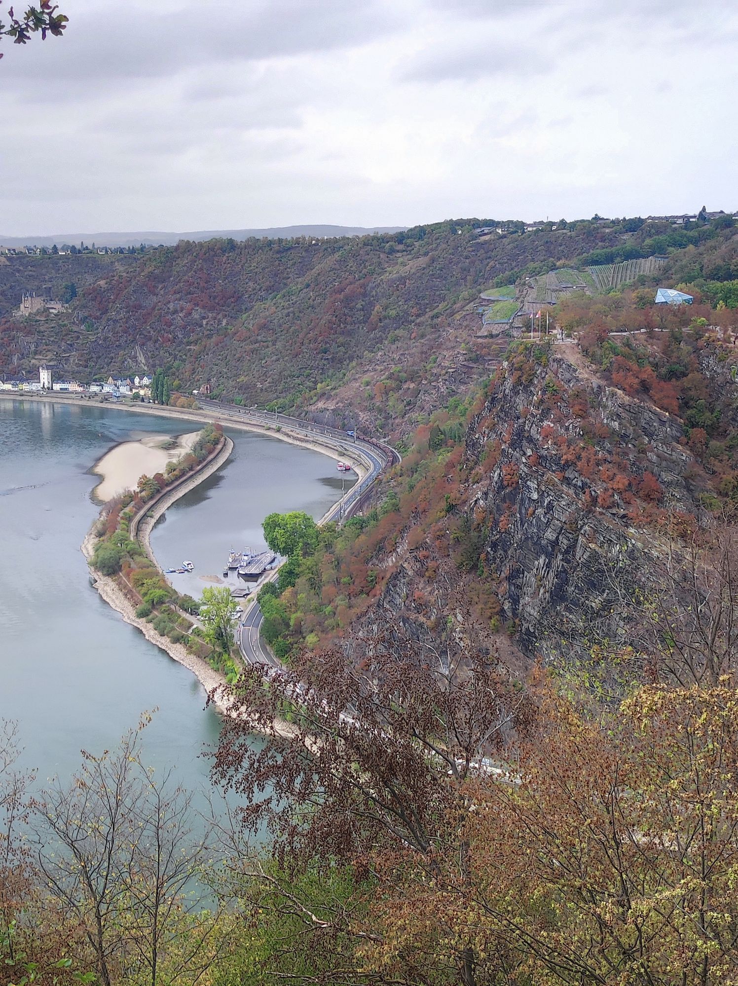
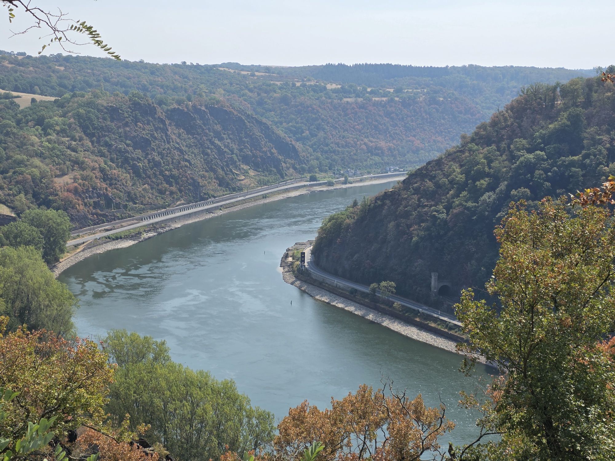
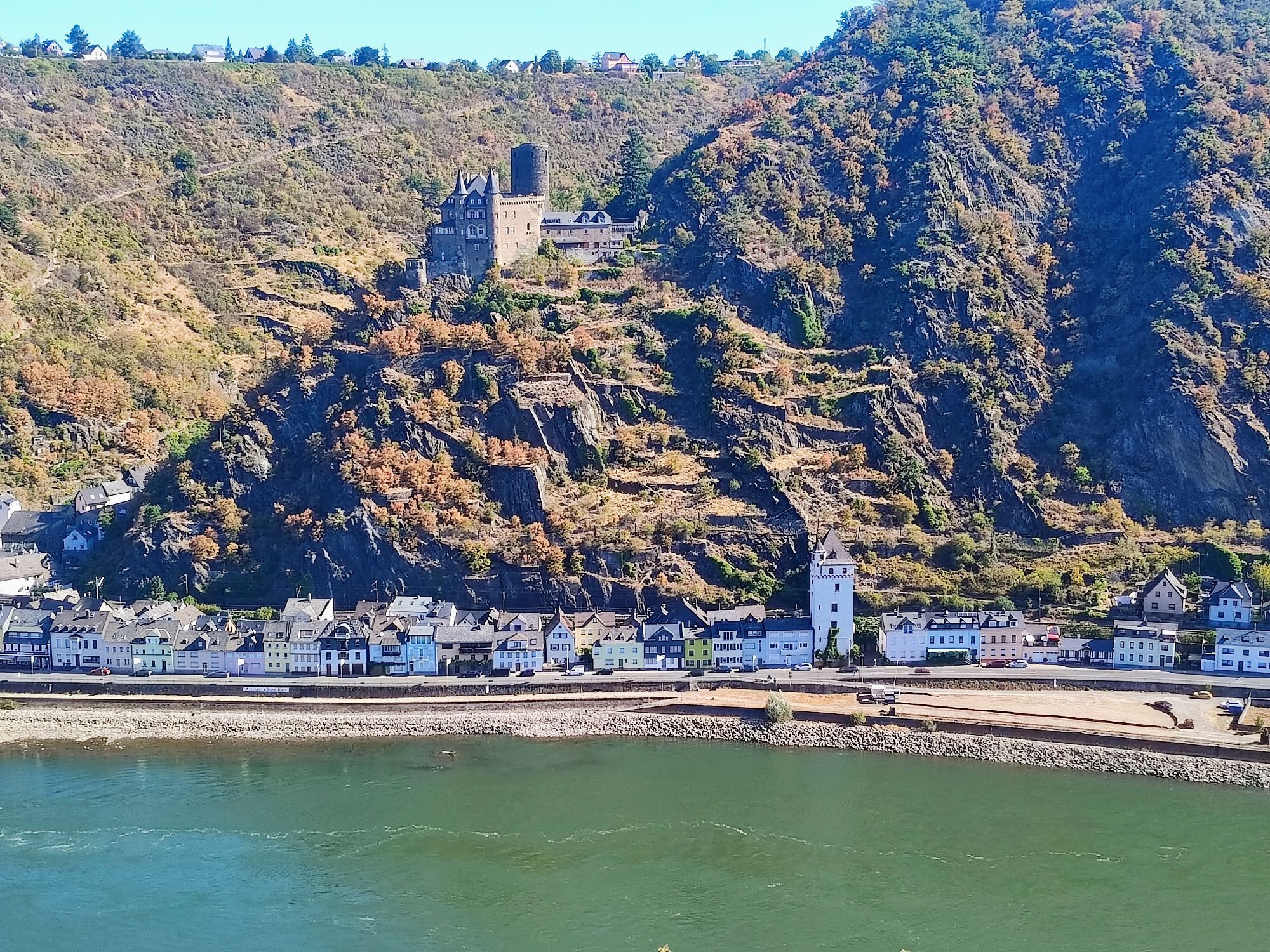
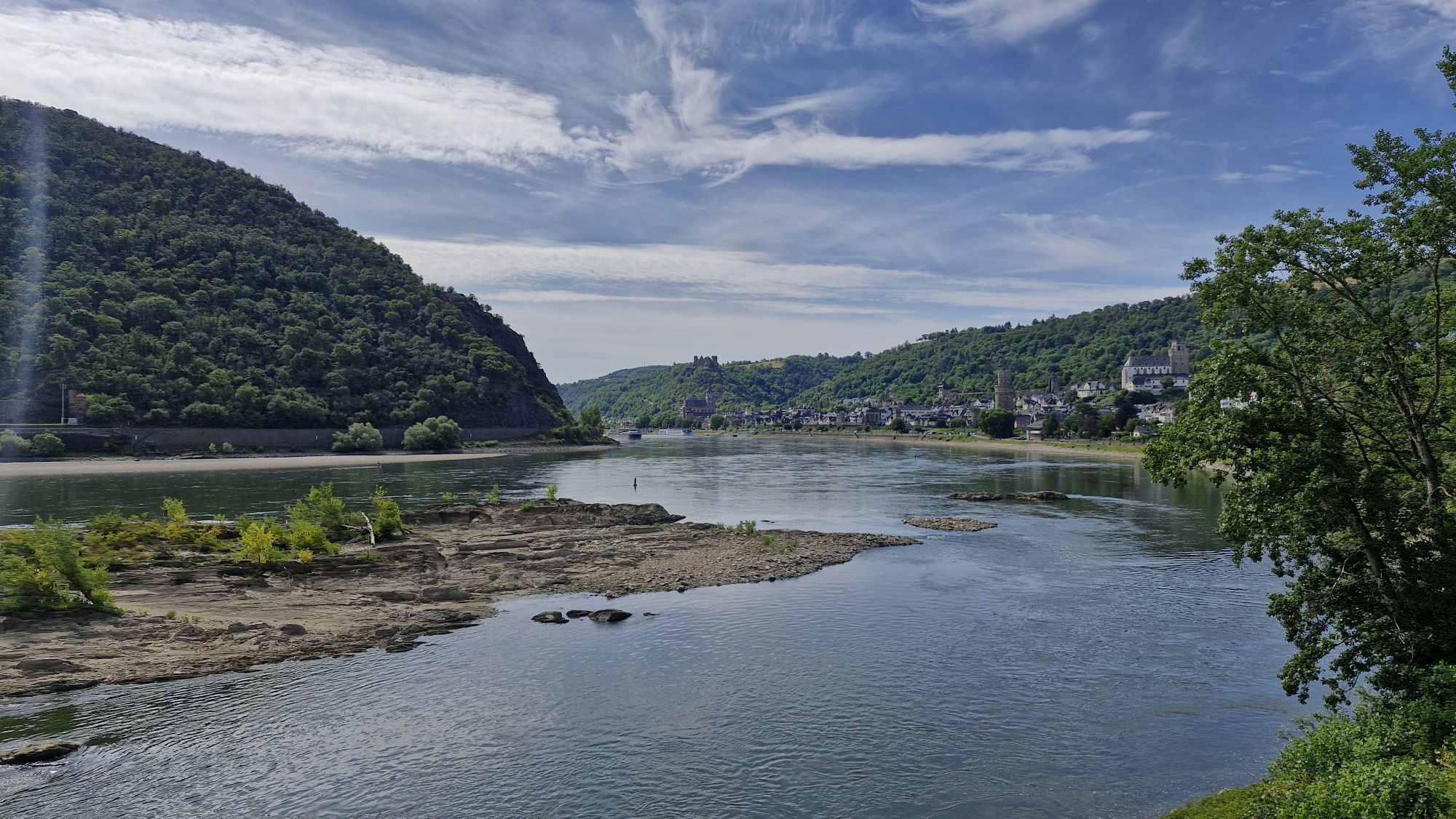
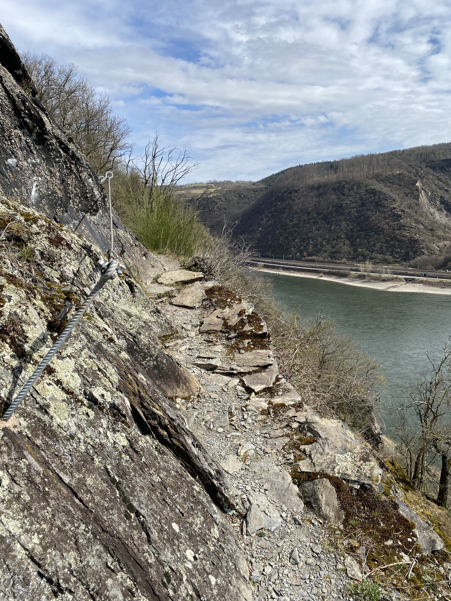
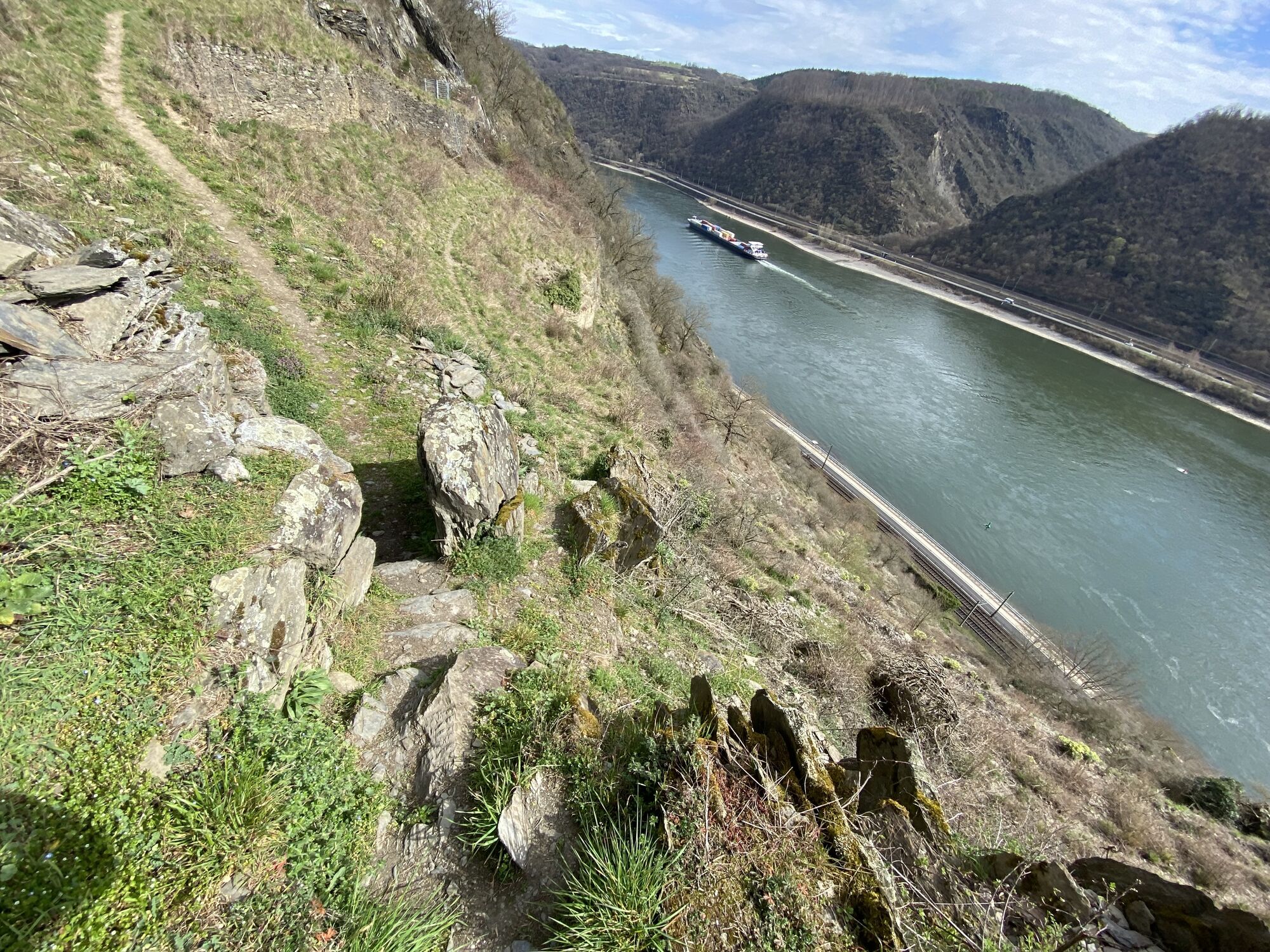
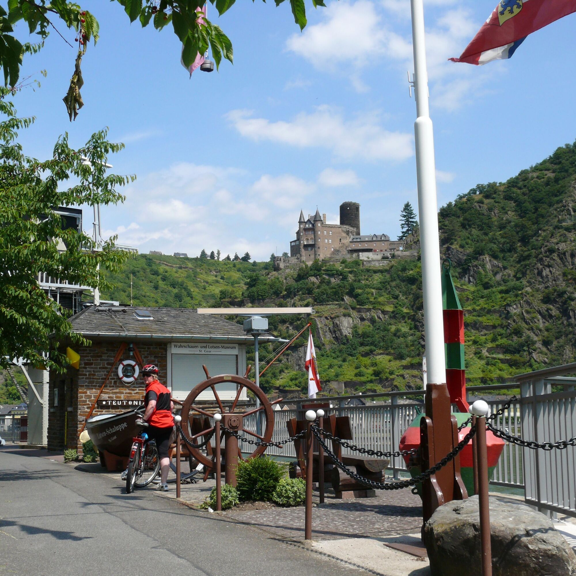
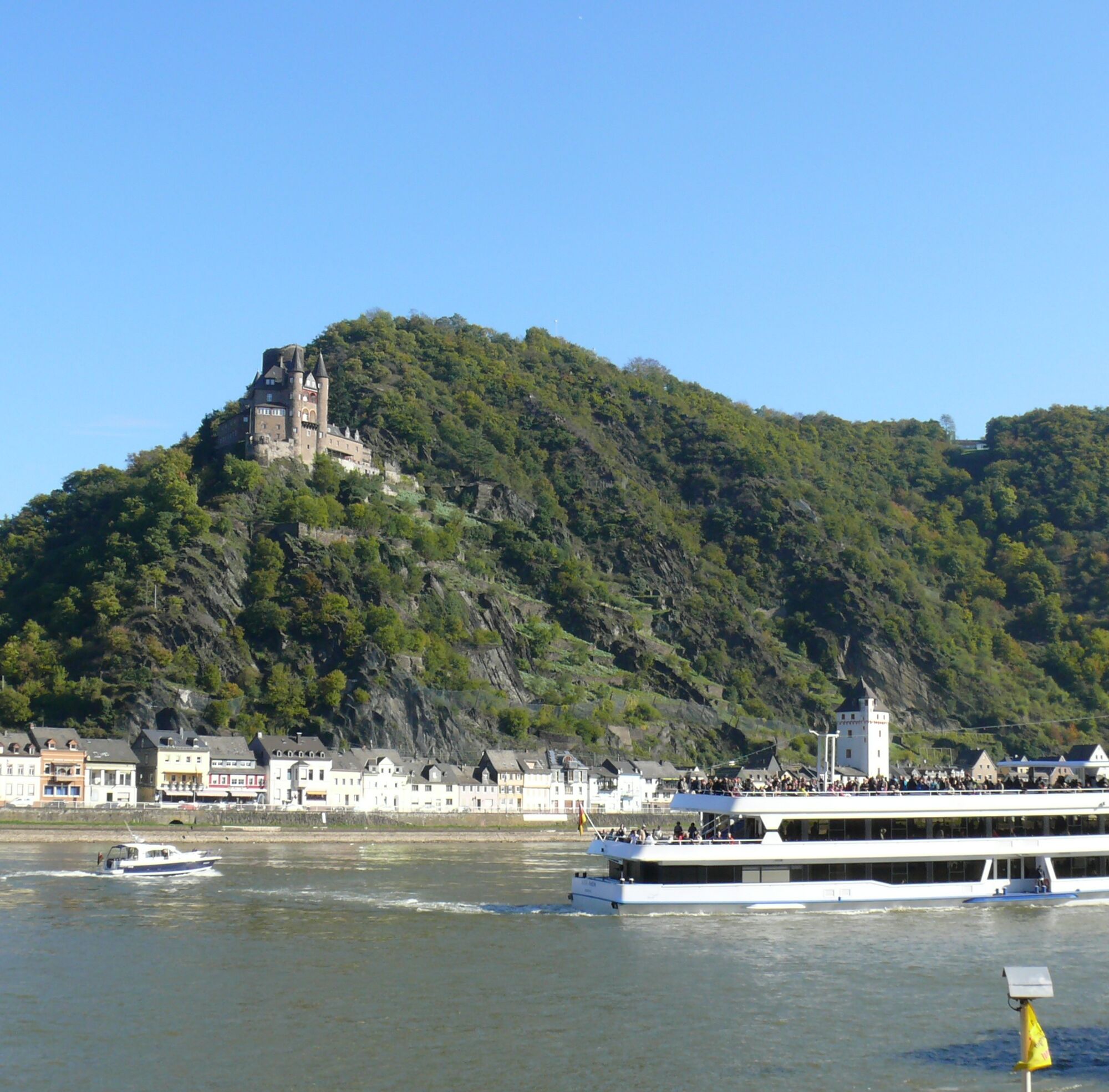
From the starting point in Oberwesel, head downstream along the Rhine with views of the Loreley to St. Goar, where we cross by ferry to the twin town of St. Goarshausen. From the heights, the castles Rheinfels, Katz, and Maus greet us.

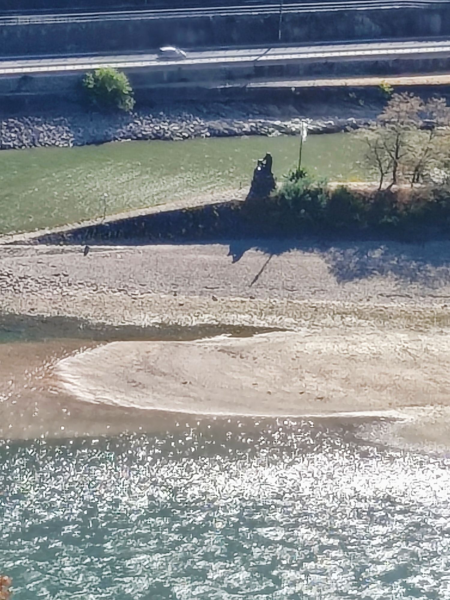
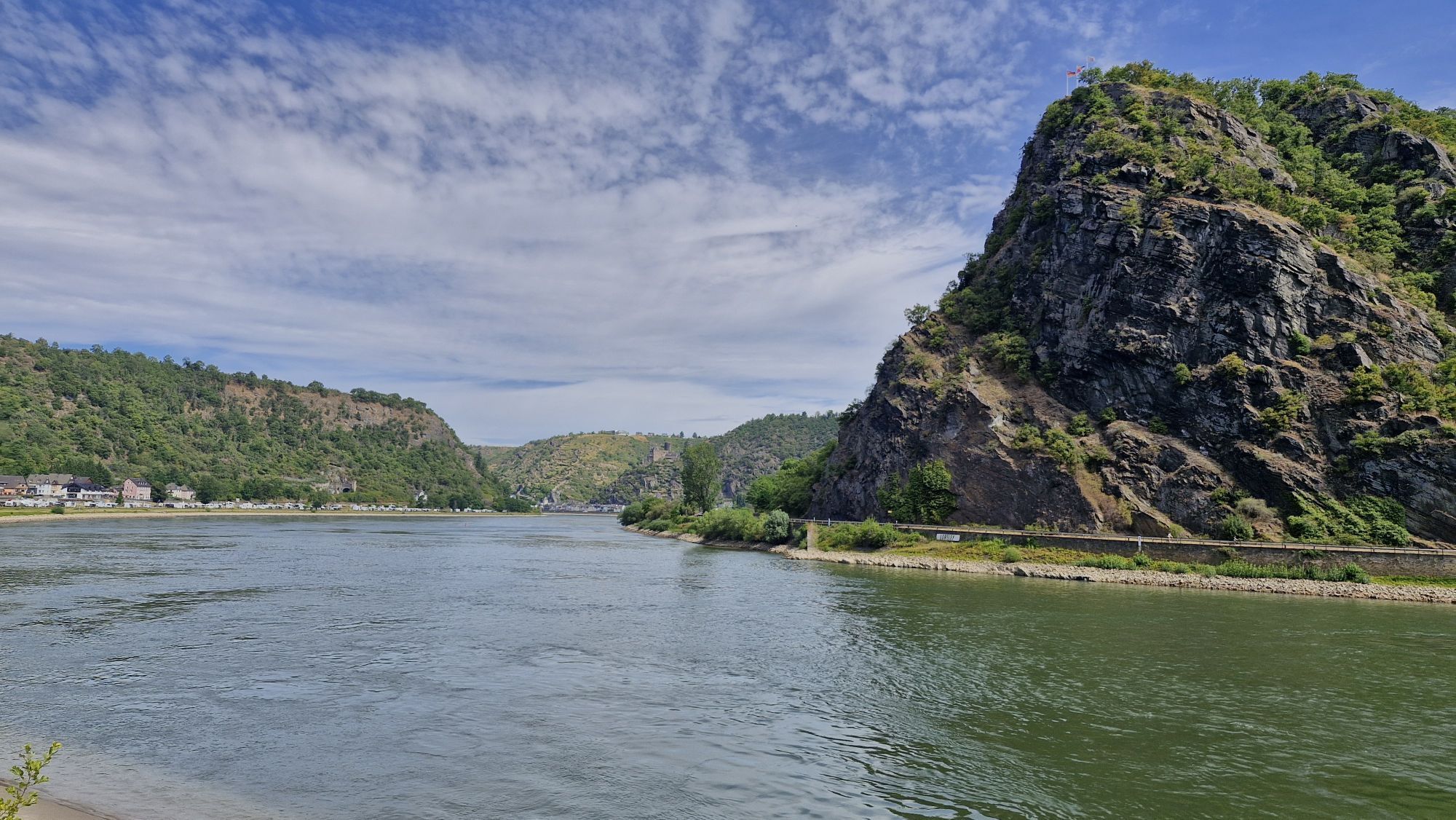
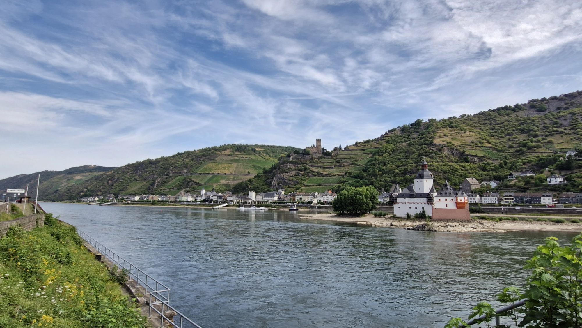
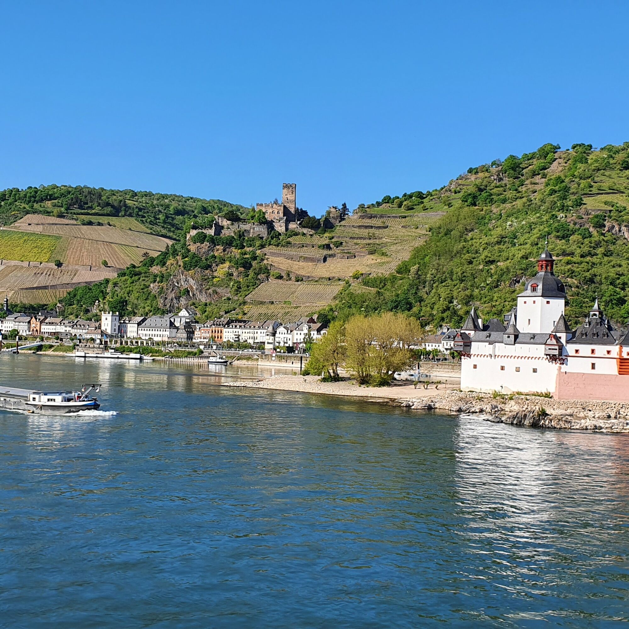
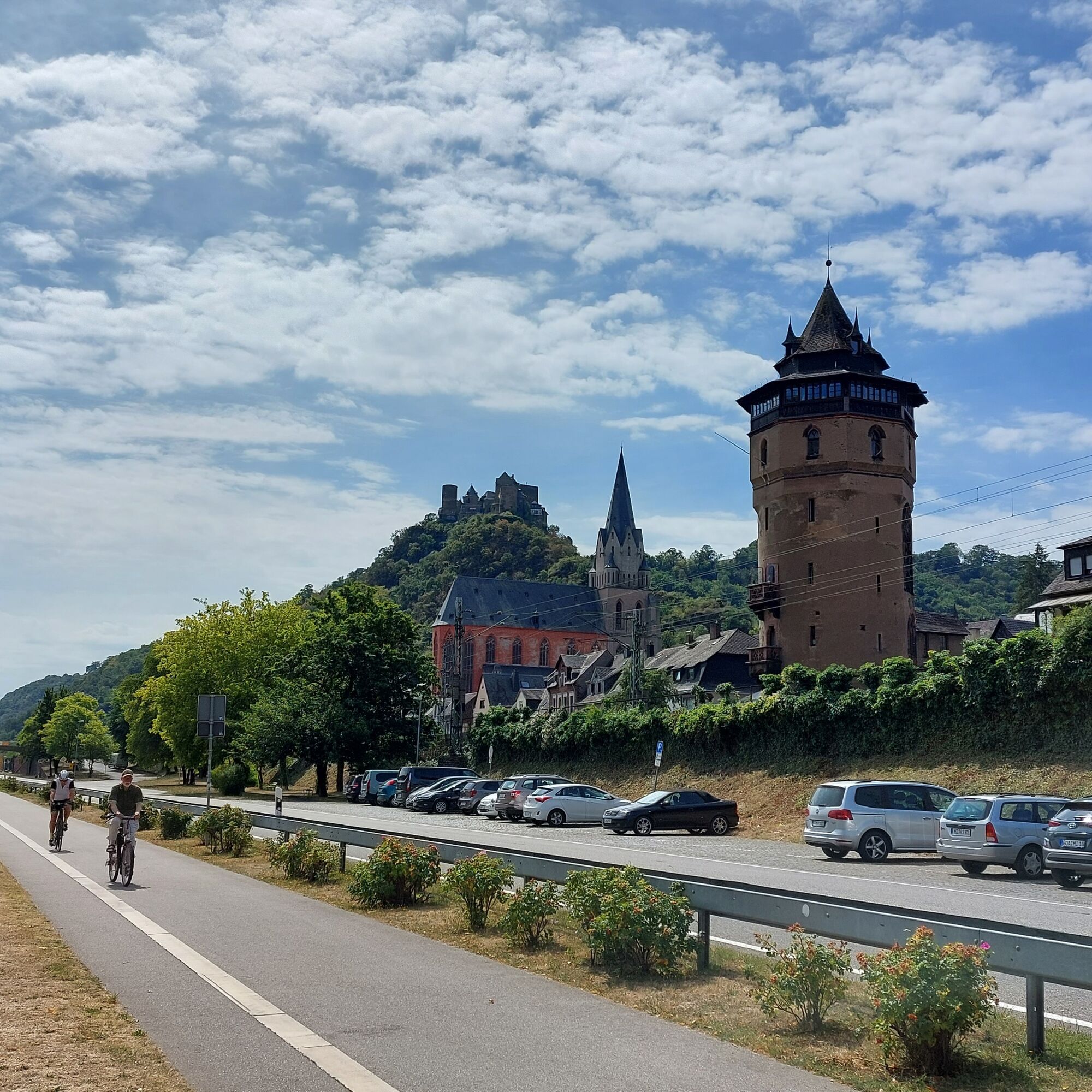
Past the Loreley rock, we reach the fortress town of Kaub with Gutenfels Castle and the former toll castle Pfalzgrafenstein in the middle of the Rhine. From Lorch, we continue on the brand-new bike path – the most expensive in Germany, according to the FAZ – via Assmannshausen to Rüdesheim.

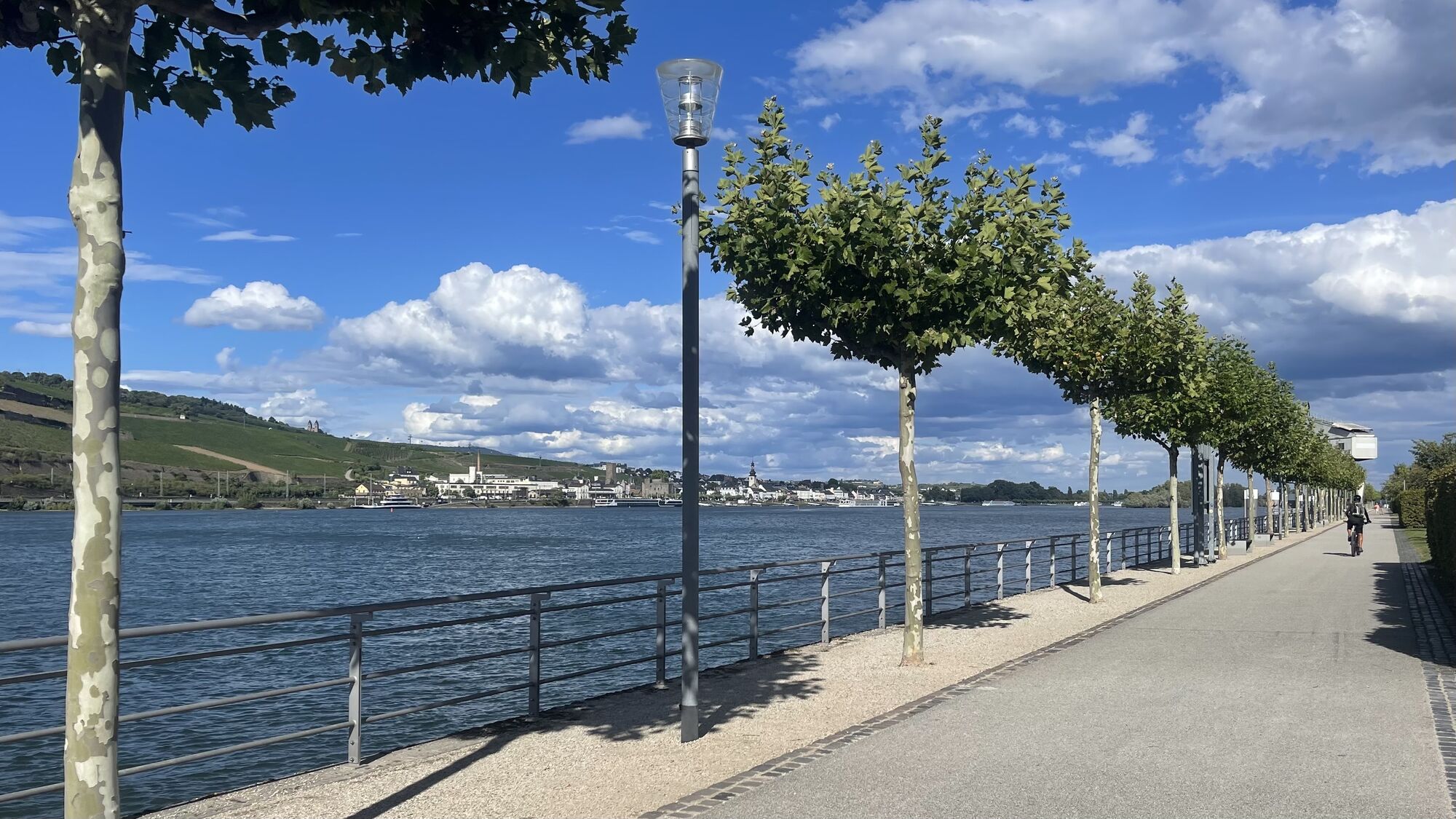
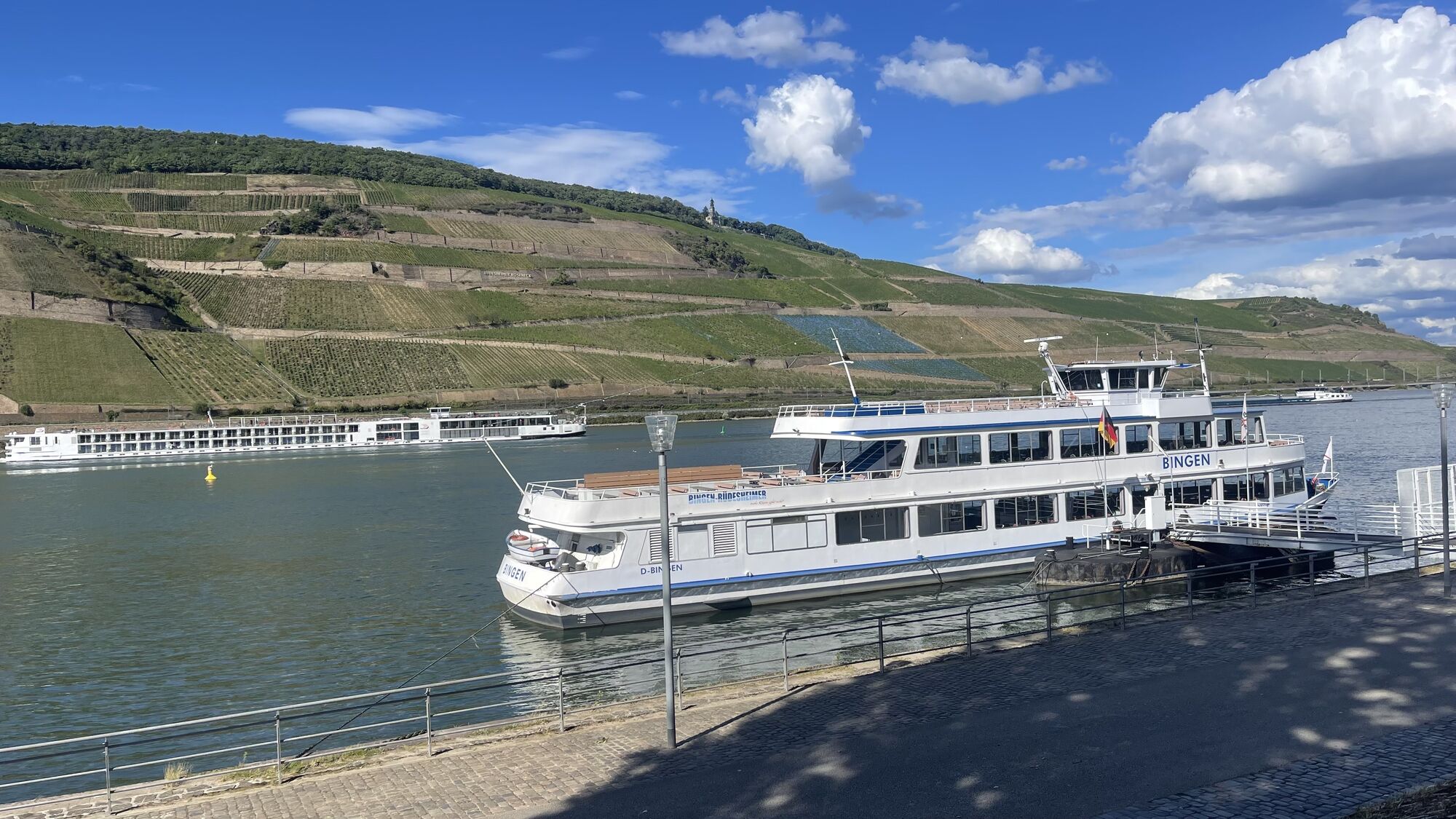
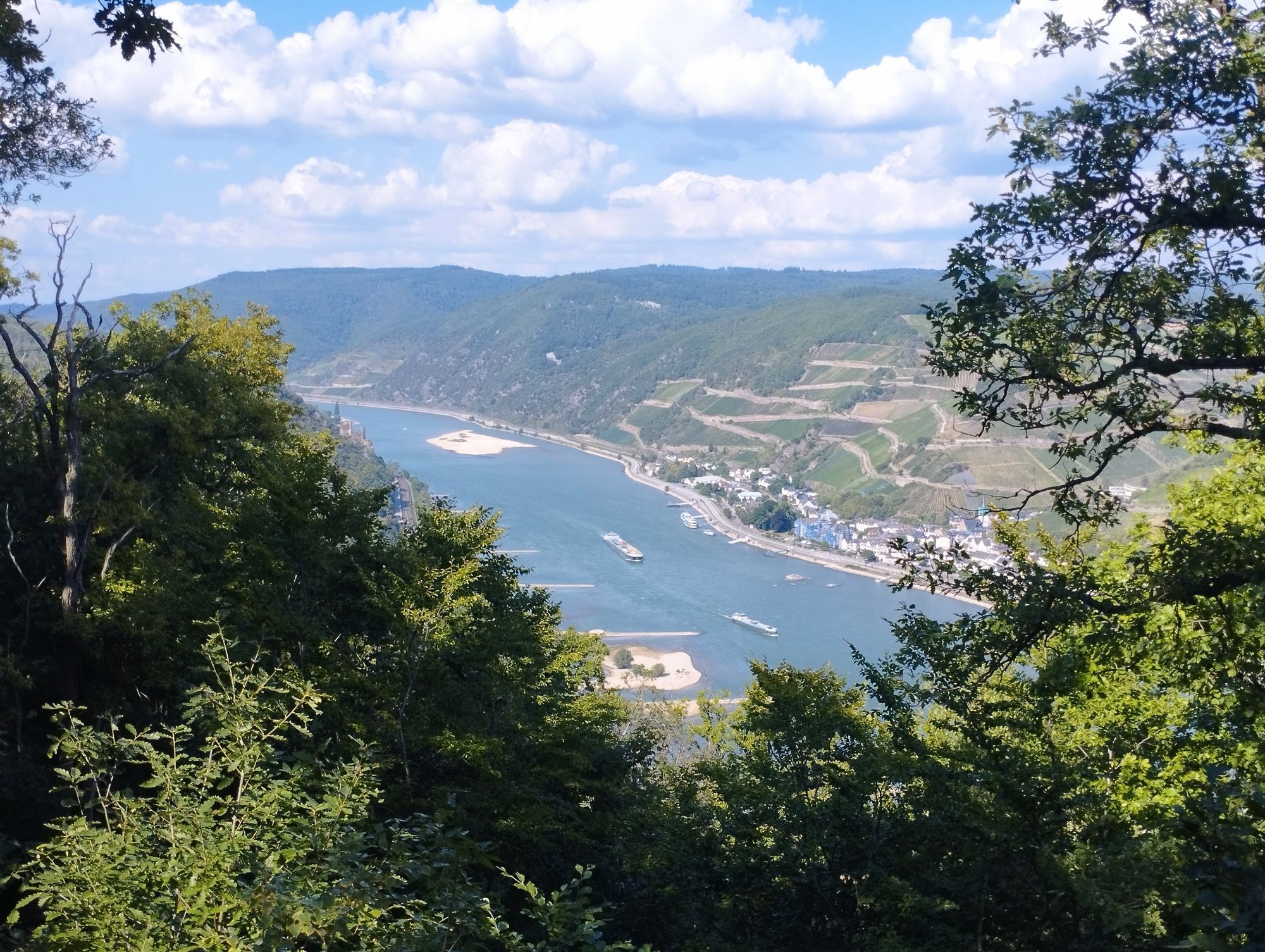
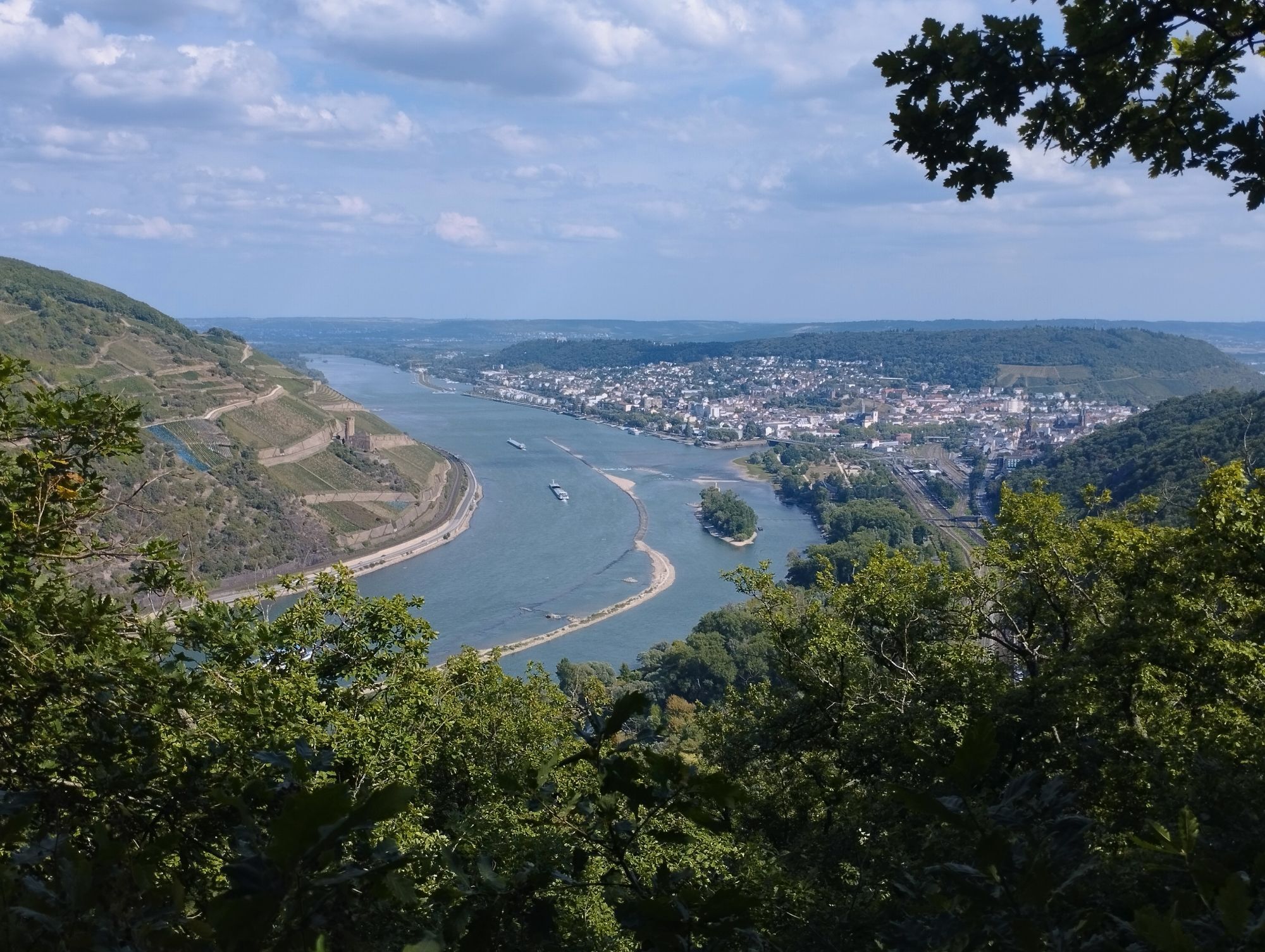
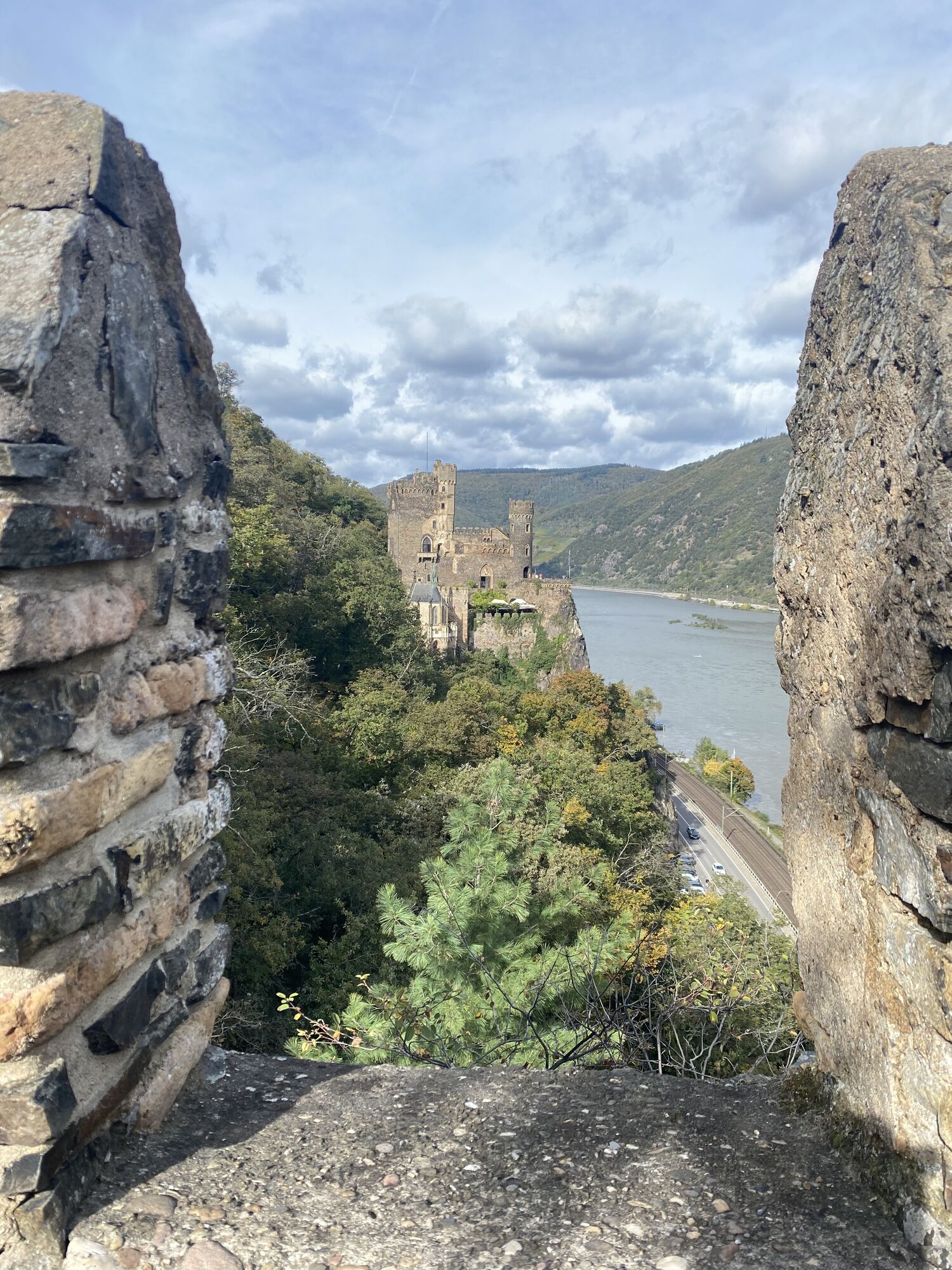
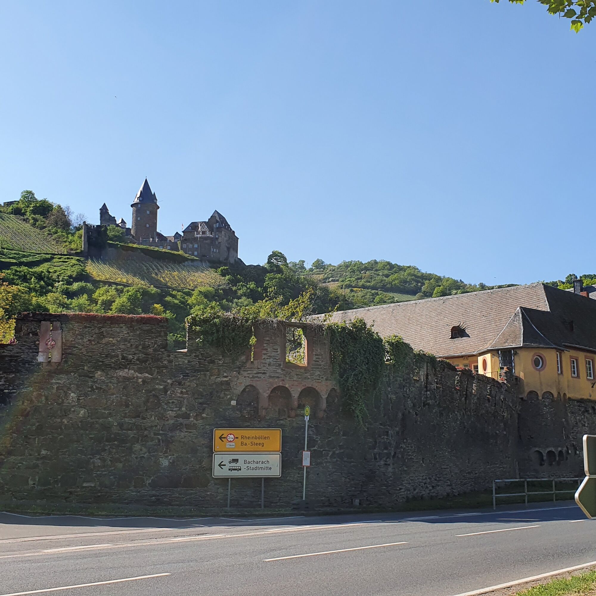
The ferry takes us to Bingen. From the Rhine-Nahe corner, we roll leisurely along Trechtingshausen, Niederheimbach, and Bacharach back to Oberwesel. Along the way, there are, of course, more castles to see, such as Rheinstein, Reichenstein, Stahleck, and Schönburg.

Tip: The route can naturally be started from any of the Rhine towns. Almost all are accessible by train station, and with the Germany ticket, you only have to pay for your bicycle on the St. Goar and Kaub ferries.

Trasa
Evangelische Kirche
(74 m)
Miesto uctievania
6,8 km
Lorelei
(193 m)
Summit
9,0 km
Bacharach
(84 m)
Mesto
20,3 km
Bingen
(89 m)
Mesto
37,9 km
Clemenskapelle
(80 m)
Miesto uctievania
43,5 km
Mariä Himmelfahrt
(85 m)
Miesto uctievania
48,6 km
St. Nikolaus
(81 m)
Miesto uctievania
52,5 km
Trasa
Mapa
Bike tour Upper Middle Rhine Valley World Heritage - South
stredná
Cyklistika
58,85 km
Oberwesel
(77 m)
Železničná stanica
0,0 km
Oberwesel
(79 m)
Mesto
0,5 km
An der Loreley
(72 m)
Zúčtovanie
5,3 km
Cafe Restaurant Loreleyblick
(77 m)
Reštaurácia
5,4 km
Sankt Goar
(82 m)
Mesto
6,6 km
Evangelische Kirche
(74 m)
Miesto uctievania
6,8 km
Sankt Goarshausen
(67 m)
Prístavisko trajektu
7,0 km
St. Johannes der Täufer
(71 m)
Miesto uctievania
7,1 km
Lorelei
(193 m)
Summit
9,0 km
Oberwesel
(79 m)
Mesto
13,1 km
KD Kaub
(69 m)
Prístavisko trajektu
16,3 km
Kaub
(81 m)
Mesto
16,5 km
Fähre Kaub
(71 m)
Prístavisko trajektu
16,9 km
Kaub
(70 m)
Prístavisko trajektu
16,9 km
Kaub
(79 m)
Železničná stanica
17,3 km
Bacharach
(84 m)
Mesto
20,3 km
Lorchhausen
(104 m)
Dedina
21,4 km
Lorch
(87 m)
Mesto
22,8 km
Fähre Niederheimbach - Lorch
(72 m)
Prístavisko trajektu
23,5 km
Assmannshausen
(83 m)
Dedina
31,6 km
Autofähre Bingen - Rüdesheim
(79 m)
Prístavisko trajektu
35,7 km
Fähre Bingen - Rüdesheim
(78 m)
Prístavisko trajektu
36,6 km
Bingen(Rhein) Stadt
(83 m)
Železničná stanica
37,5 km
Bingen
(89 m)
Mesto
37,9 km
Assmannshausen
(83 m)
Dedina
41,9 km
Burg Rheinstein
(73 m)
Prístavisko trajektu
42,2 km
Burg Rheinstein
(74 m)
Prístavisko trajektu
42,6 km
Clemenskapelle
(80 m)
Miesto uctievania
43,5 km
Trechtingshausen
(72 m)
Prístavisko trajektu
44,8 km
Fähre Niederheimbach - Lorch
(77 m)
Prístavisko trajektu
48,5 km
Niederheimbach
(85 m)
Dedina
48,6 km
Mariä Himmelfahrt
(85 m)
Miesto uctievania
48,6 km
Niederheimbach
(80 m)
Železničná stanica
48,8 km
Lorch
(87 m)
Mesto
49,5 km
Rheindiebach
(83 m)
Dedina
50,3 km
St. Nikolaus
(81 m)
Miesto uctievania
52,5 km
Bacharach
(84 m)
Mesto
52,9 km
Anliegestelle Fähre Kaub
(72 m)
Prístavisko trajektu
55,8 km
Kaub
(81 m)
Mesto
55,9 km
Oberwesel
(79 m)
Mesto
58,8 km
Informácie o prehliadke

Bike round route with two ferry crossings through the southern half of the Upper Middle Rhine Valley World Heritage site starting from Oberwesel via St. Goar, St. Goarshausen, Kaub, Rüdesheim, Bingen, and Bacharach.

Technológia
3 / 6
Stav
4 / 6
Krajina
6 / 6
Skúsenosti
6 / 6
Prístupné po celý rok
Jan
Feb
Mar
Apr
Máj
Jún
Júl
Aug
Sep
Okt
Nov
Dec
Zdieľať prehliadku
Mapa
Bike tour Upper Middle Rhine Valley World Heritage - South
stredná
Cyklistika
58,85 km
Chyba
Vyskytla sa chyba. Prosím, skúste to znova.
Naposledy sledované Pred 2 dňami
Informácie o trase
Geologické zaujímavosti

Áno

Vhodné pre rodiny

Áno

Zariadenie

Don't forget your bicycle helmet!

Bezpečnostné pokyny

As long as every road user shows a bit of consideration, it works great.

Informácie o príchode
Príchod

A 61 - Exit Wiebelsheim towards Oberwesel

A 61 - Exit Pfalzfeld towards St. Goar

Verejná doprava

All larger towns are accessible by train along the Rhine line.

Parkovanie

Parking Oberwesel

Parking St. Goar

Ďalšie informácie a tipy
Úroveň náročnosti

3

Ďalšie informácie

The route can be shortened in either direction using the ferries in Kaub or Niederheimbach.

More bike tours

Tipy

Classic: Cable car to the Niederwalddenkmal near Rüdesheim

William Turner Route: some of the painting locations 10-25 are on a different route (not yet fully implemented)


Oceňovanie
4,0
5
(0)
4
(1)
3
(0)
2
(0)
1
(0)
Napíšte recenziu

Recenzie pomáhajú ostatným používateľom vybrať si ďalšie dobrodružstvo. Prosím, hodnoťte len prehliadku, nie počasie alebo občerstvenie.

Vyberte jednu z hviezdičiek a ohodnoťte prehliadku
Zlé turné
Slabé turné
Priemerné turné
Dobrá prehliadka
Vynikajúca prehliadka
Turistika a stopovanie

Turistika a stopovanie

Turistika a stopovanie
Viac ako 550.000 návrhov výletov, podrobné mapy a intuitívny plánovač trás robia z aplikácie povinnú výbavu pre všetkých nadšencov prírody.
bergfex