







Deutsche Weinstraße hiking trail
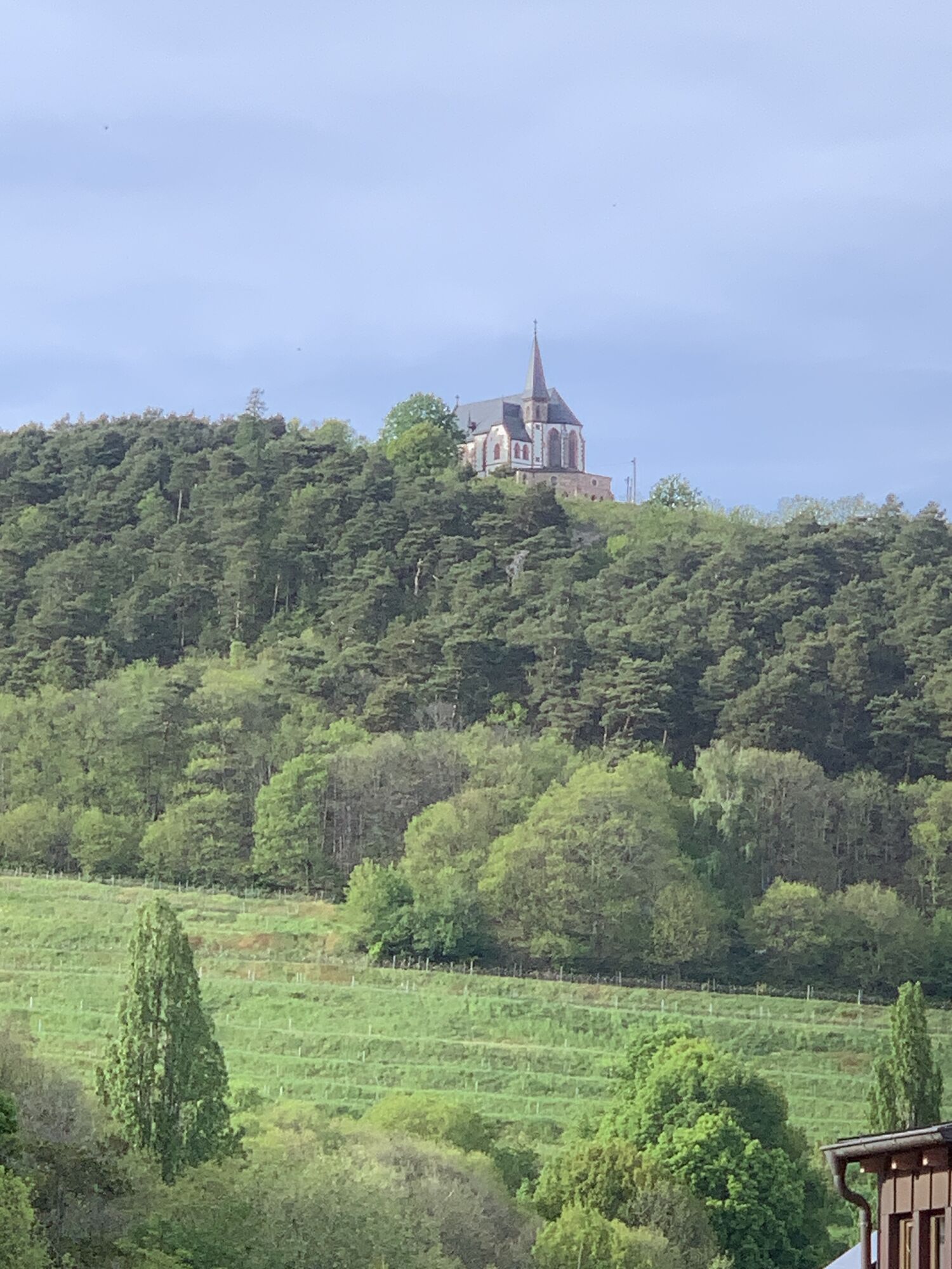
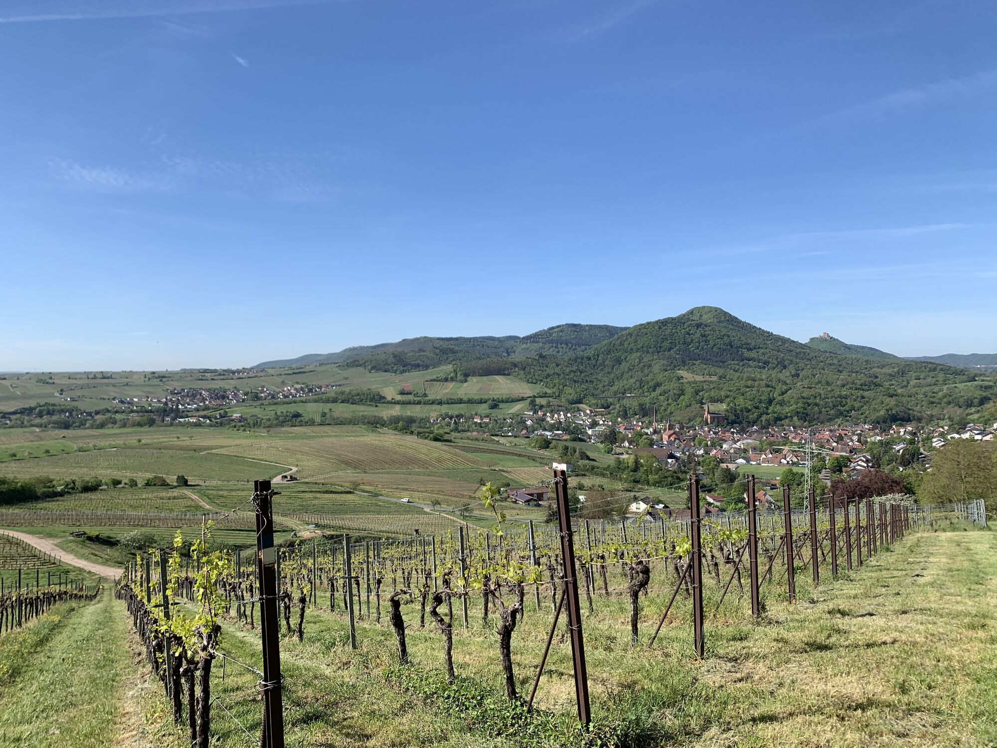
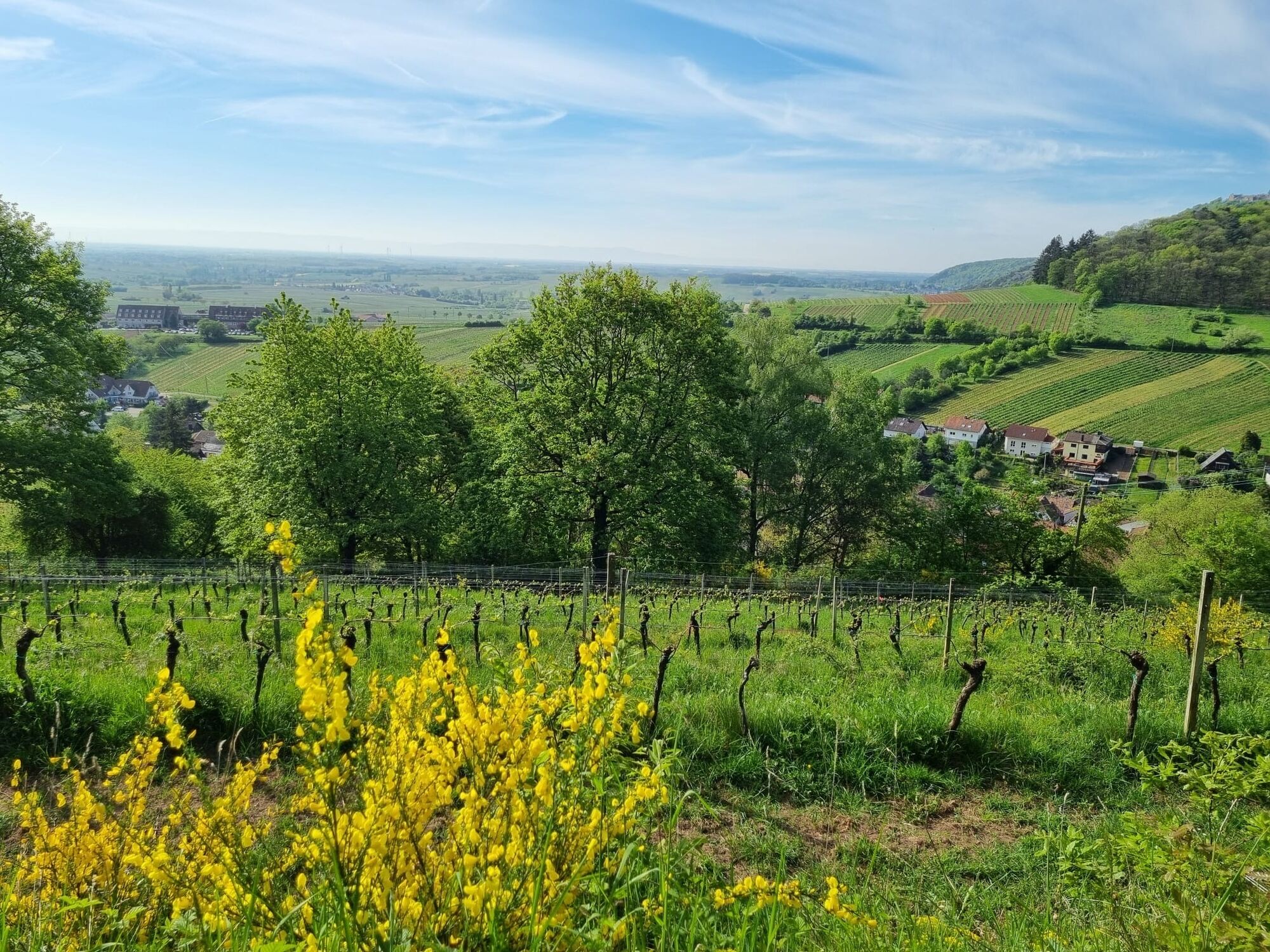
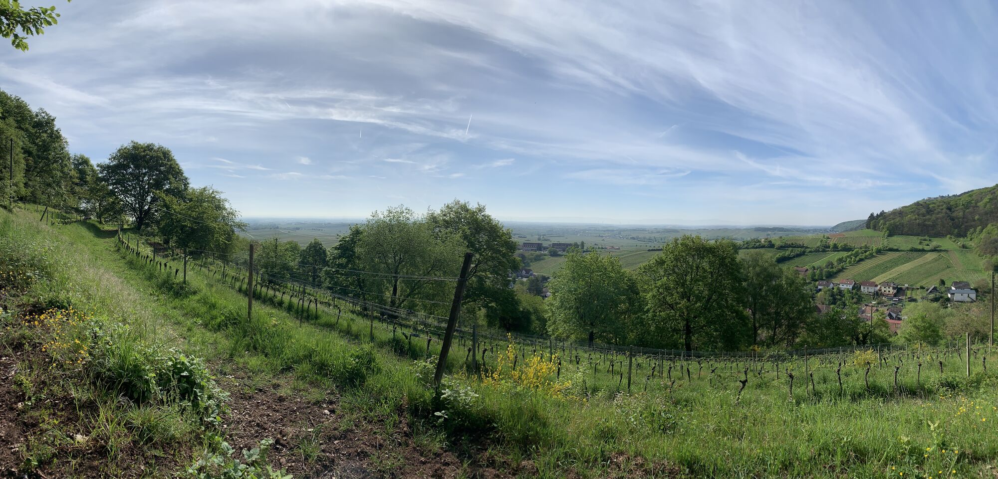

Enjoyment with all your senses. That’s what the Deutsche Weinstraße hiking trail offers you. The route starts in Bockenheim, near Worms, and runs north-south to Schweigen-Rechtenbach located on the border...
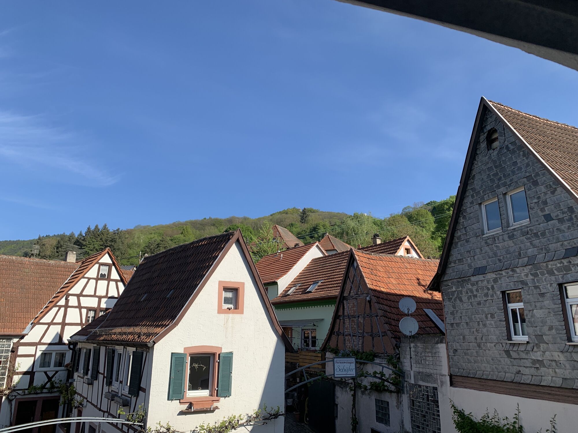
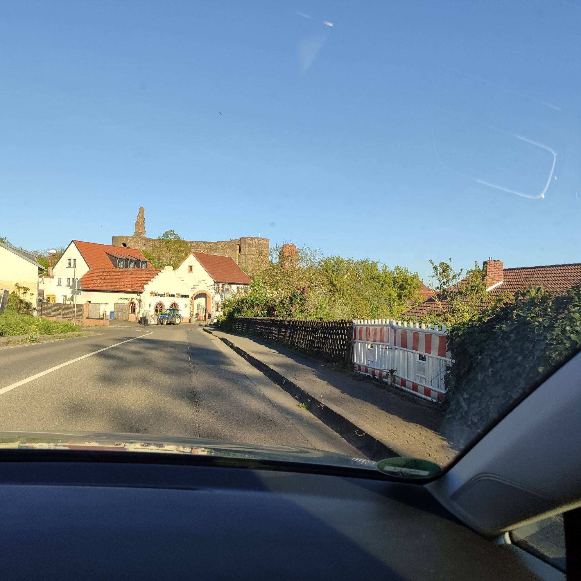
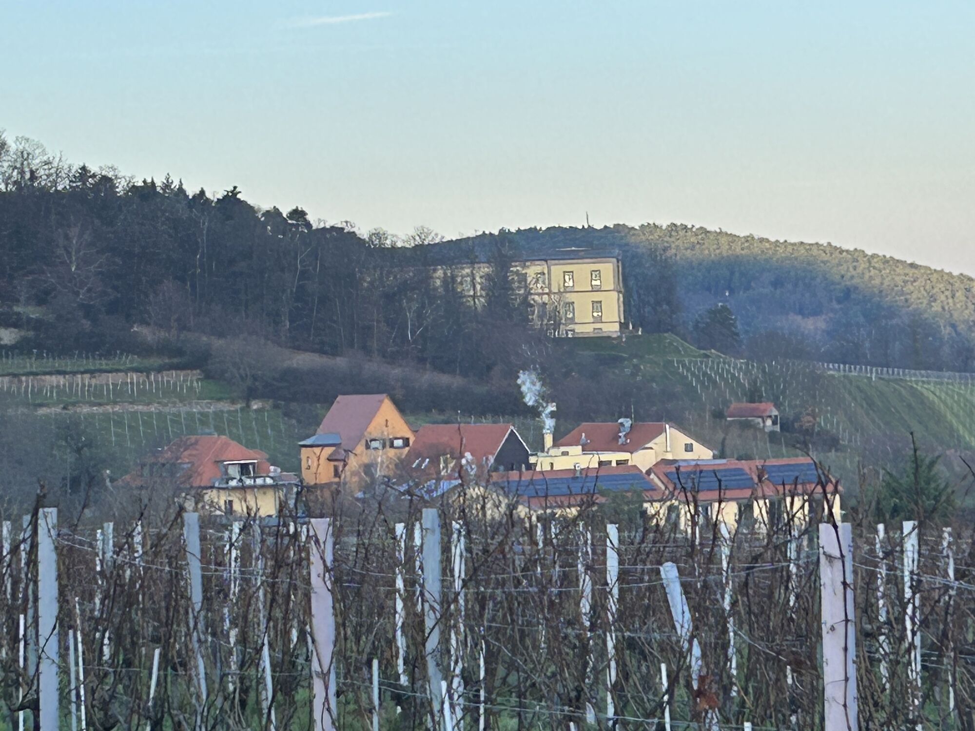
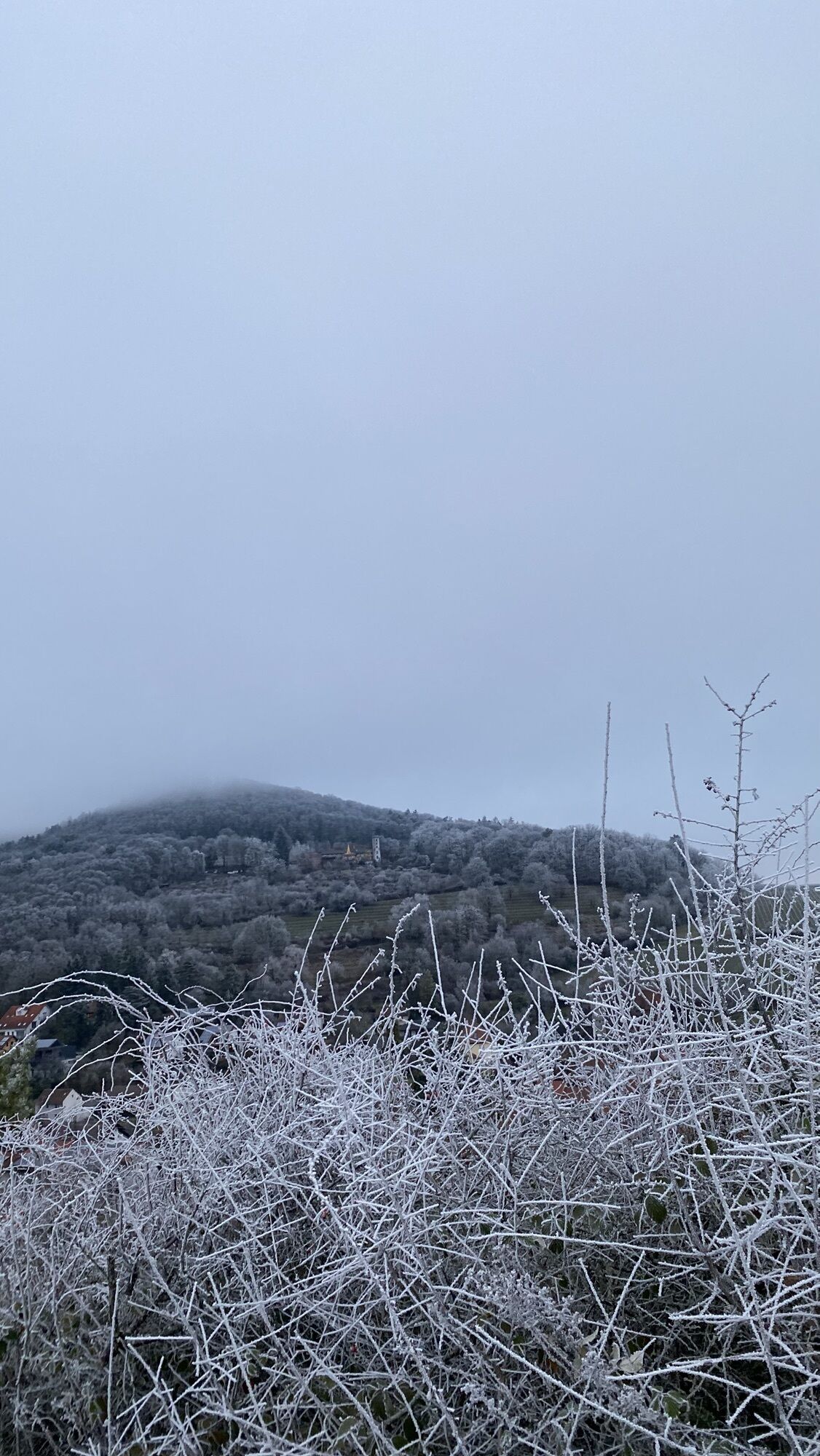
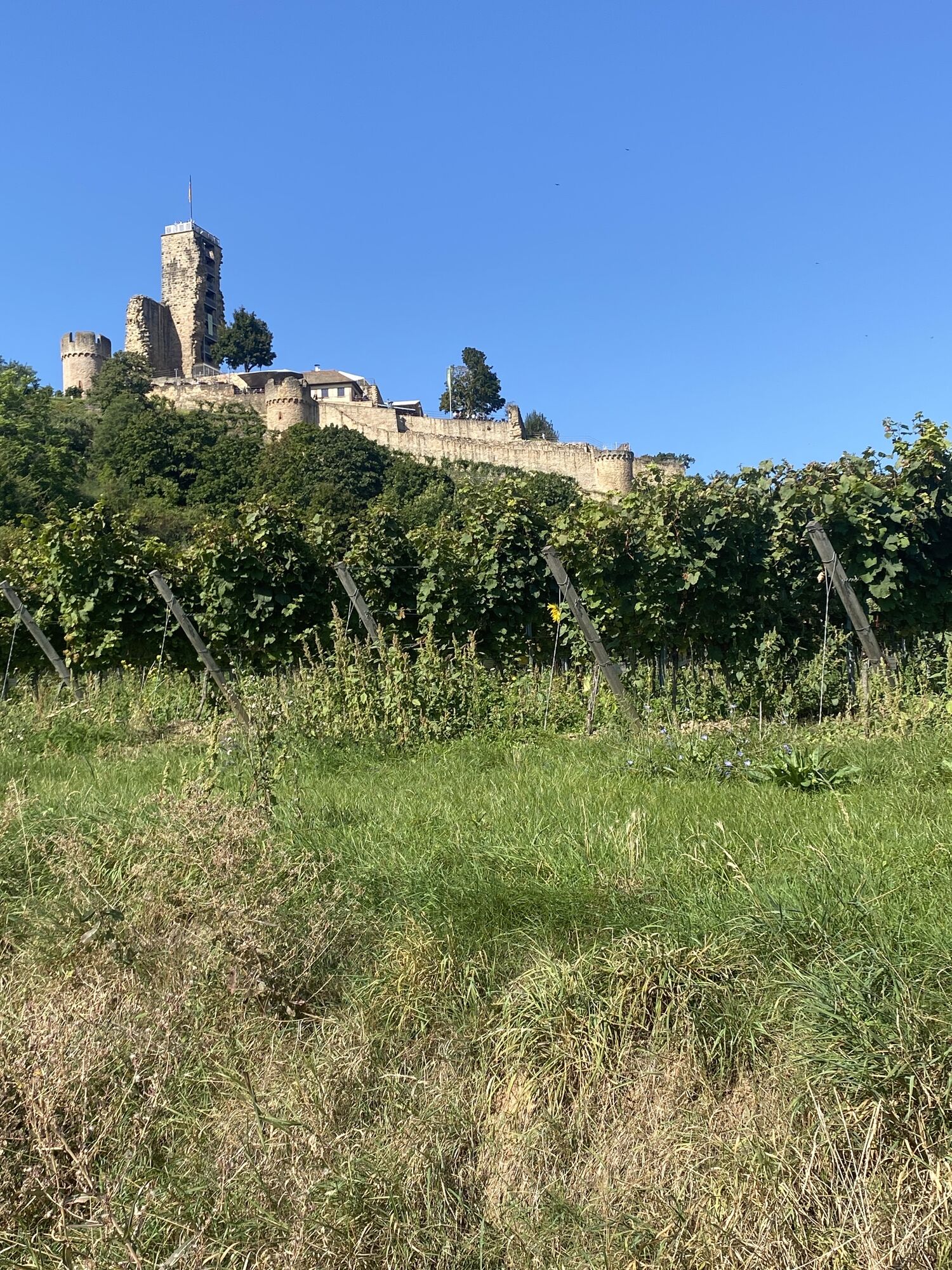
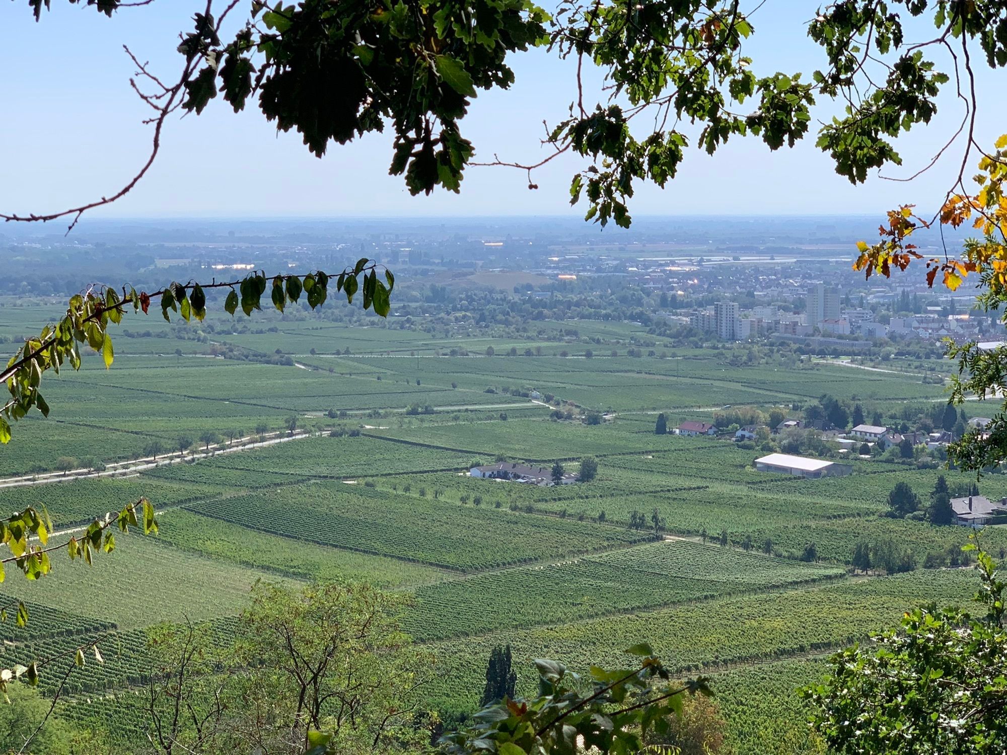
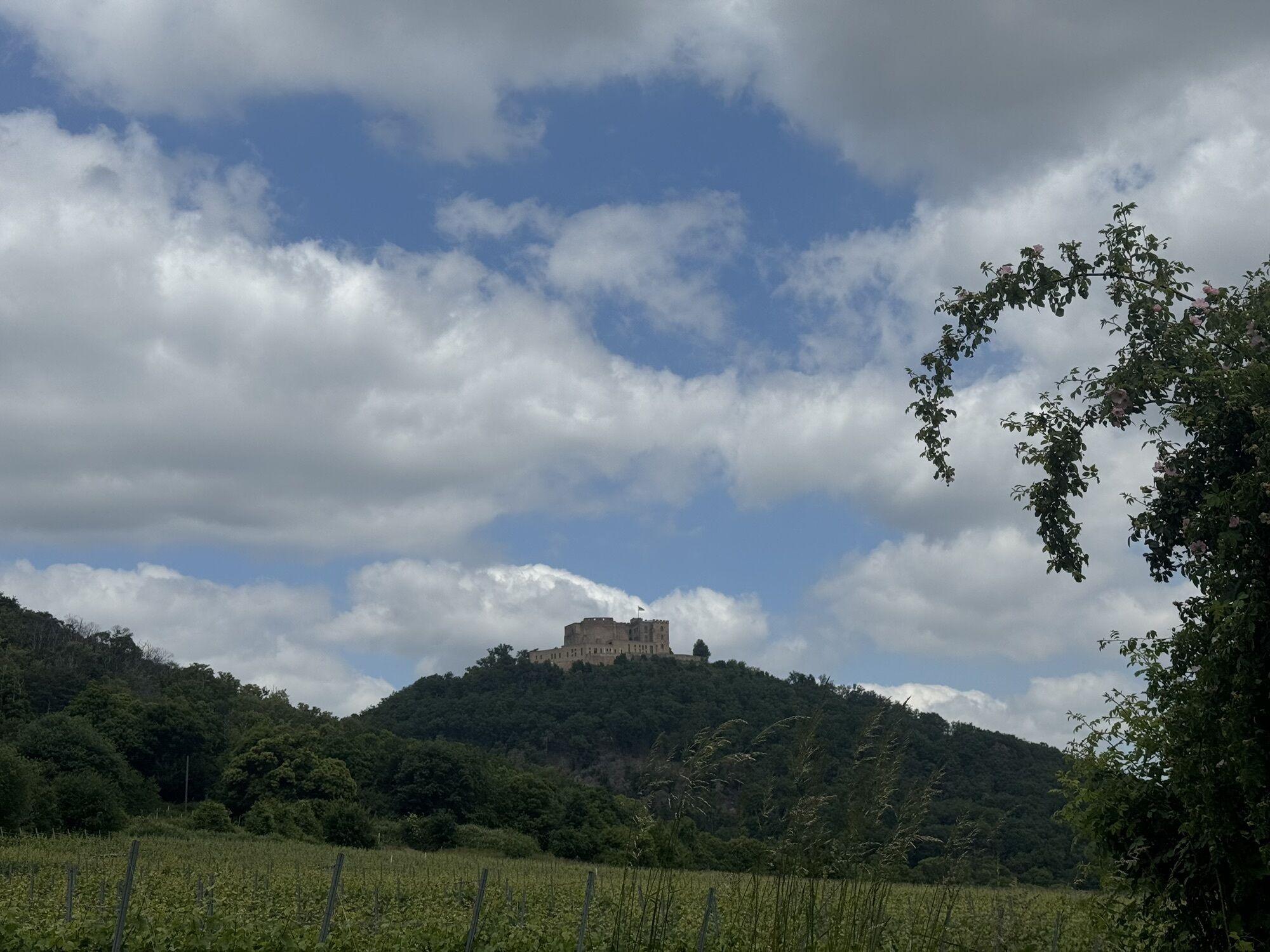
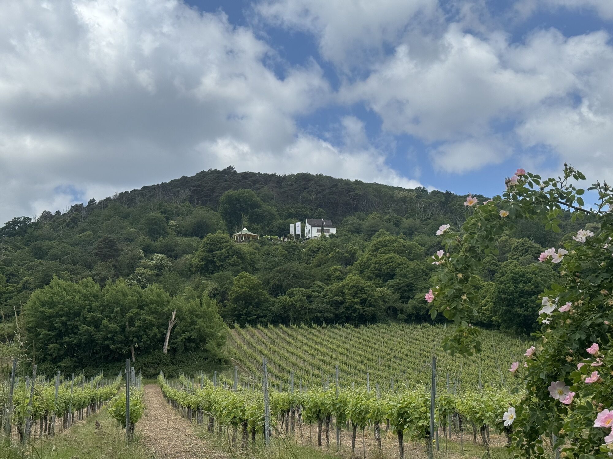
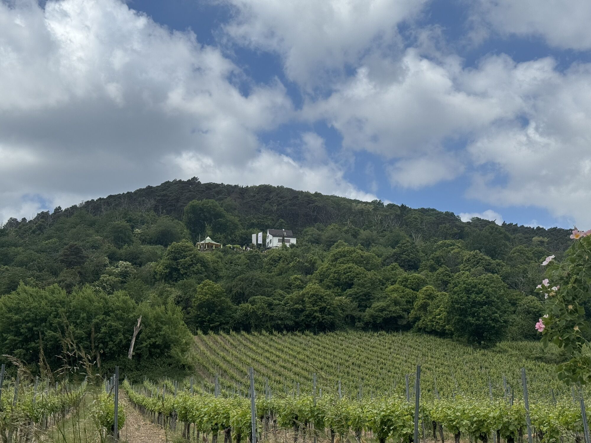
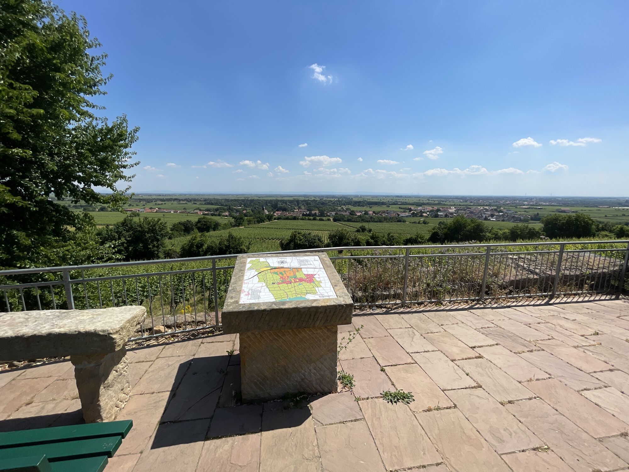
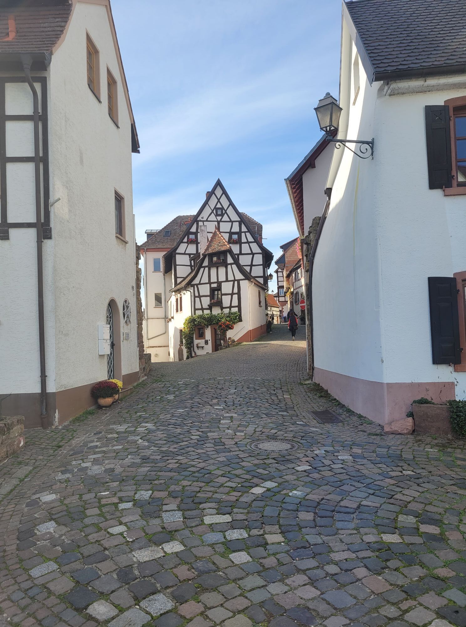
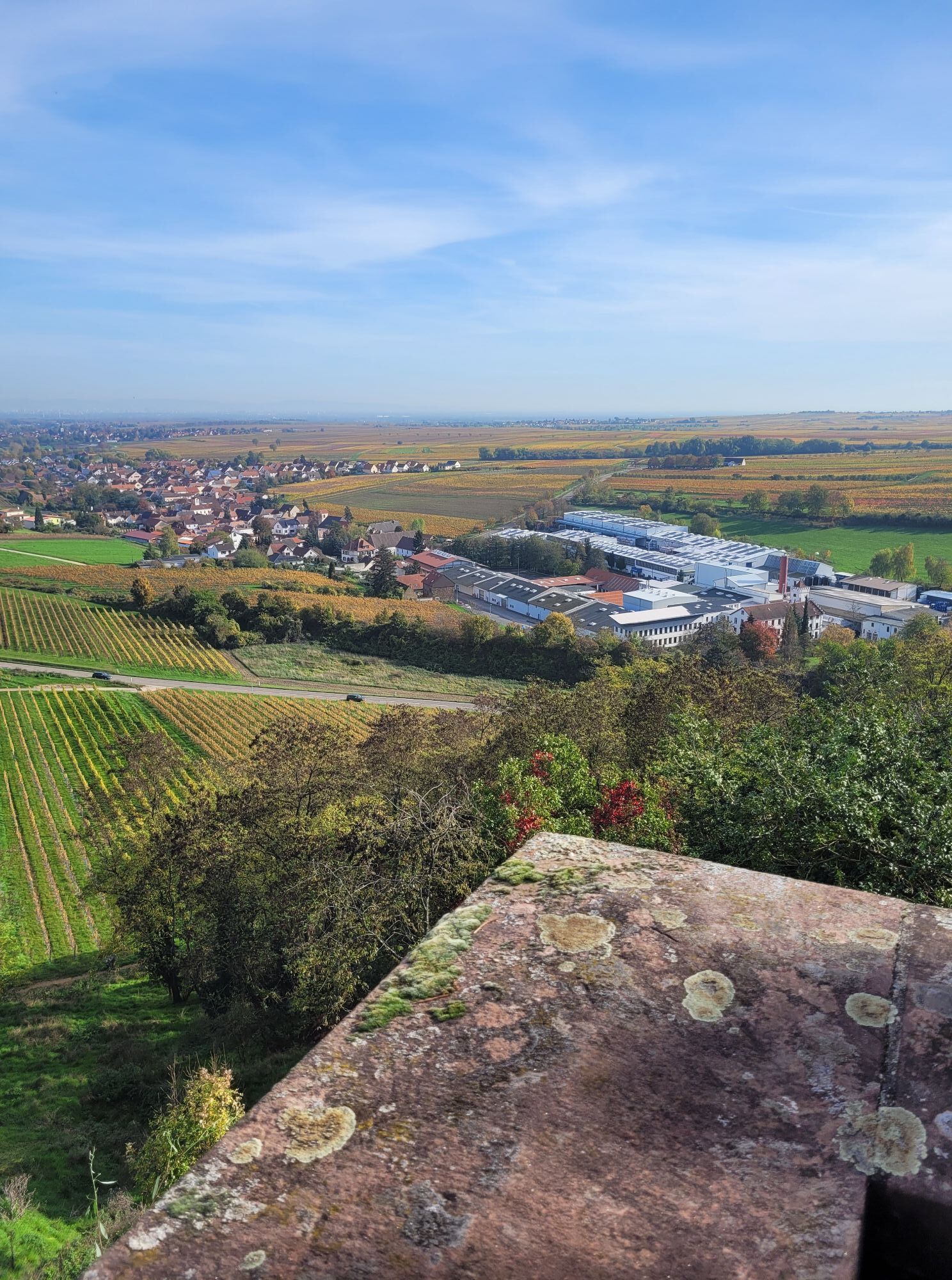
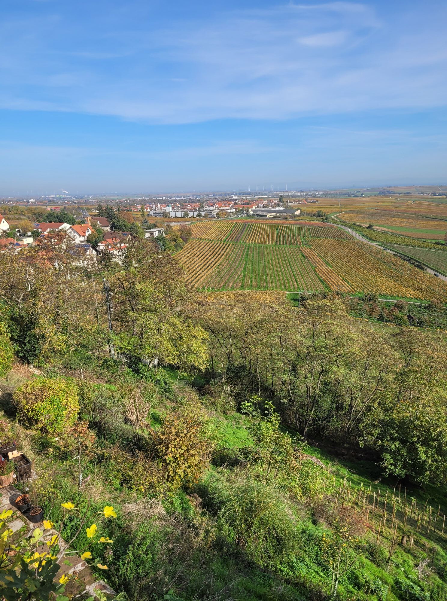
Enjoyment with all your senses. That’s what the Deutsche Weinstraße hiking trail offers you. The route starts in Bockenheim, near Worms, and runs north-south to Schweigen-Rechtenbach located on the border with Alsace. Over approximately 100 km, you will experience a varied landscape with wide views. The path mainly leads through the Palatinate sea of vines but also repeatedly winds into the outskirts of the UNESCO Palatinate Forest Biosphere Reserve, which is the largest contiguous forest area in Germany. Numerous rest and refreshment opportunities, including rustic Palatinate Forest huts, famous wine villages, and sights from various eras such as the Hambach Castle or the Villa Ludwigshöhe, invite you to pause. You can easily taste wines from Palatinate vintners. Ideal connections to train and bus stops allow for individual stage planning.

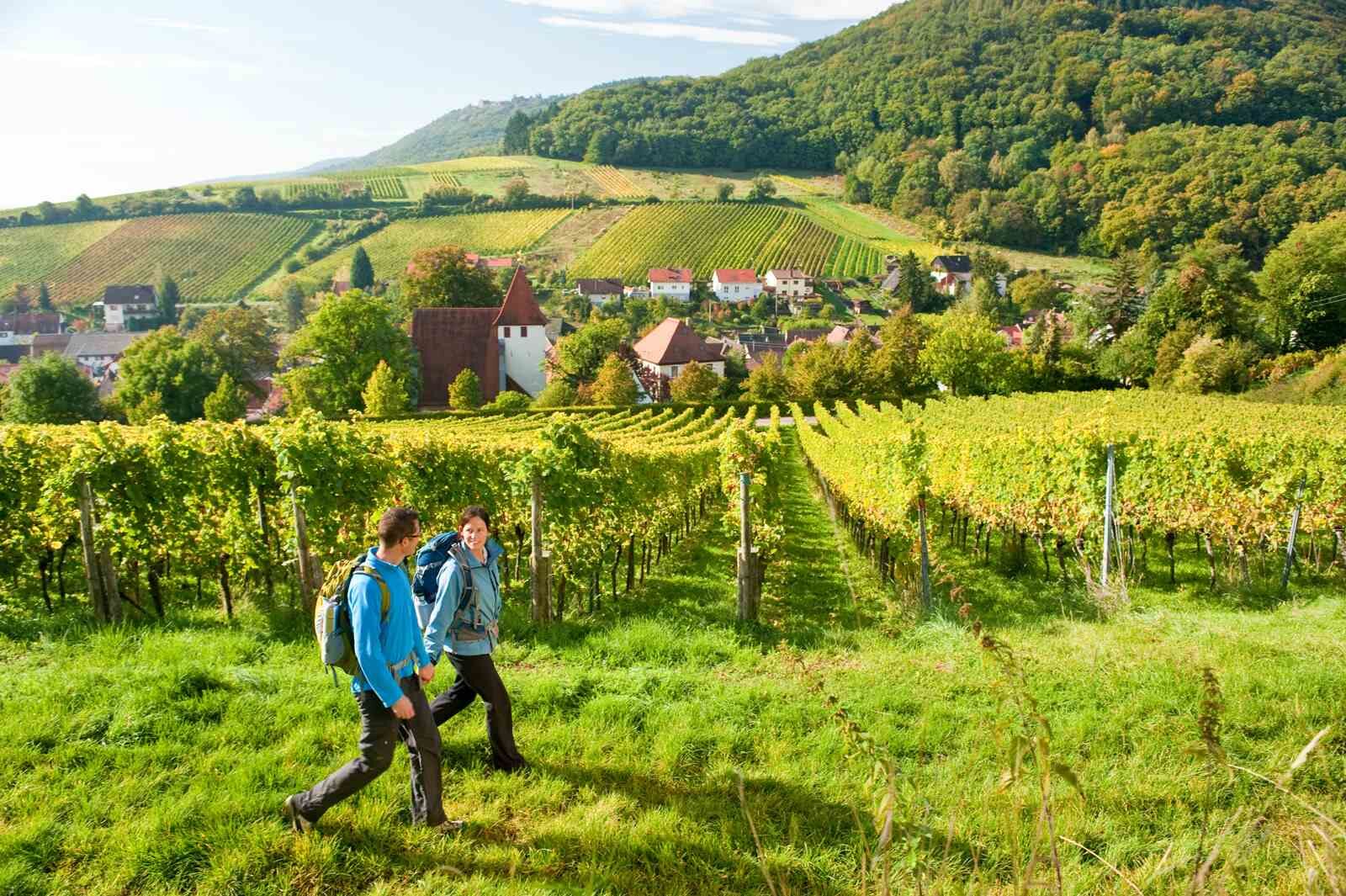
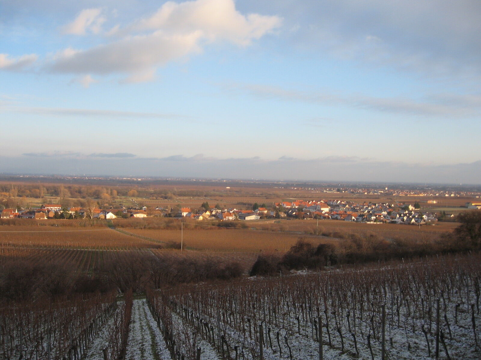
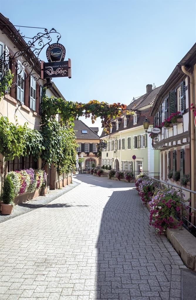


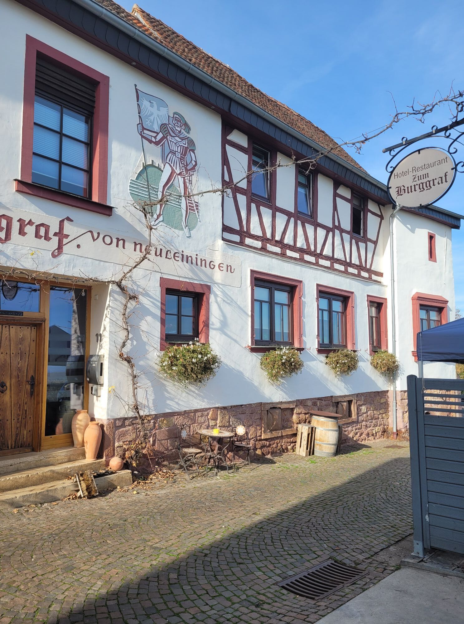
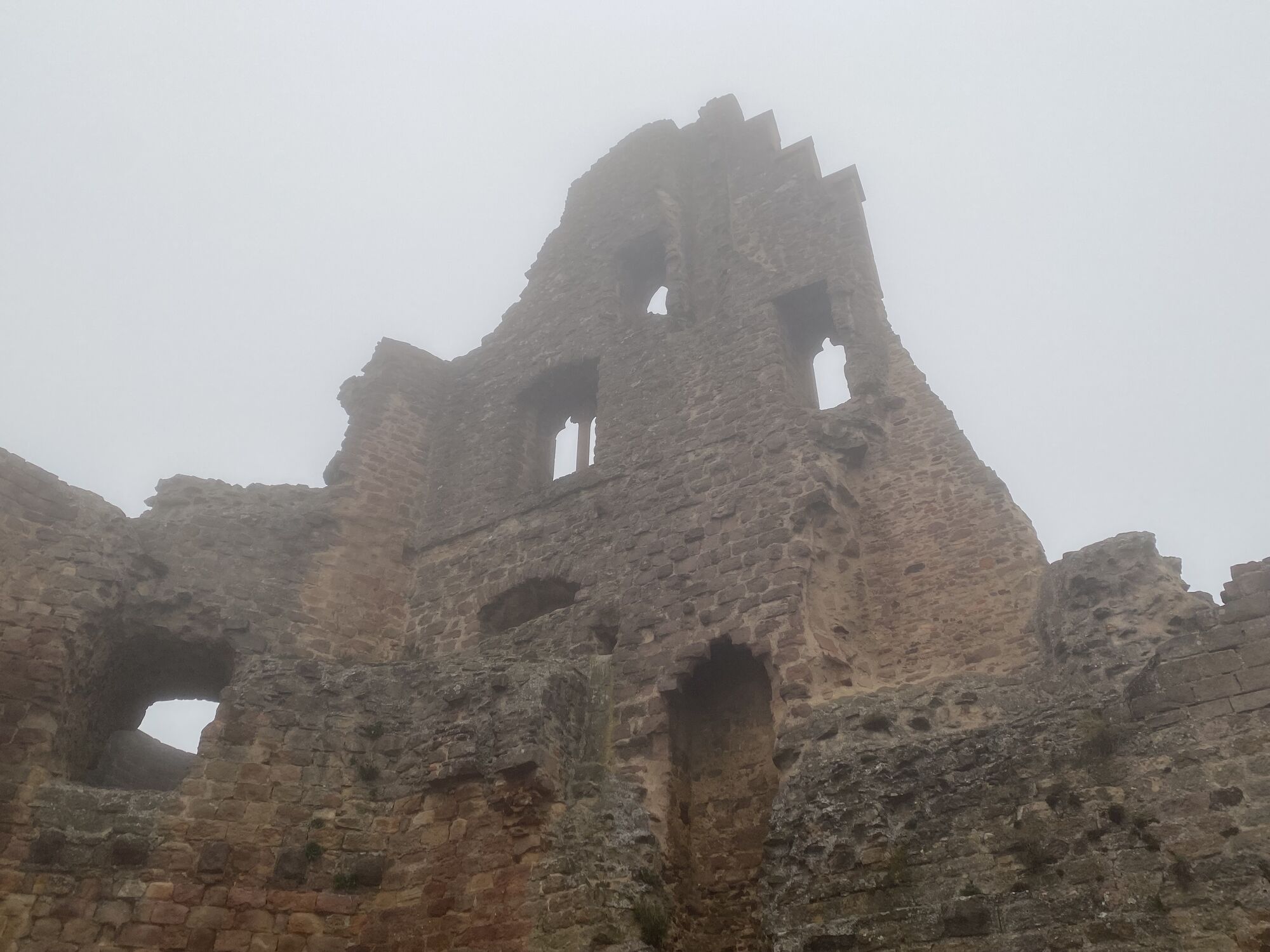
The starting point is Bockenheim at the House of the Deutsche Weinstraße. The Deutsche Weinstraße hiking trail is continuously marked with the green grape symbol on a white background. Following this from here, you walk through vineyards to reach Grünstadt-Asselheim. You hike past Grünstadt and arrive at Neuleiningen. From Neuleiningen, with its castle ruins and historic town centre, the trail continues toward Sausenheim, past the outskirts of Kleinkarlbach to Bobenheim am Berg, over Weisenheim am Berg, Leistadt (a detour to the Roman Villa Weilberg is worthwhile) to Bad Dürkheim (worth seeing: St. Michael’s Chapel, the giant Dürkheim wine barrel, spa park with graduation tower).
From Bad Dürkheim going south, you first reach Wachenheim an der Weinstraße. Past Deidesheim, a detour to the historic town centre with its renowned wineries is worthwhile. The entire town was declared a highlight of wine culture. More on: the Pfalzblick forest tavern with views, further over Königsbach to Gimmeldingen. Through the wine village of Haardt, down and through the town centre to the main station. The hike continues over the railway overpass at the station, straight up the stairs, through Hambach to the outskirts of Diedesfeld. There is a climb here to Hambach Castle (cradle of German democracy).
After your visit to Hambach Castle, you reach the picturesque wine village of St. Martin. After a short, steep climb to Kropsburg then on to Villa Ludwigshöhe and Rietburg ruins. From here you have a wonderful view over the sea of vines. Then you continue through hilly vineyard terrain and picturesque wine villages, first to Weyher and then to Burrweiler. The trail continues over Gleisweiler to Frankweiler. From Albersweiler, we reach Siebeldingen to the east on a foot/cycle path, then pass through Birkweiler and Ranschbach, through Leinsweiler (worth seeing: the Slevogthof) and Eschbach (great view from Madenburg) to Klingenmünster (great view from the Landeck castle ruins). We leave Klingenmünster and take the final ascent to Gleiszellen-Gleishorbach. The old vintner’s lane in Gleiszellen invites you to enjoy a meal of typical Palatinate cuisine.
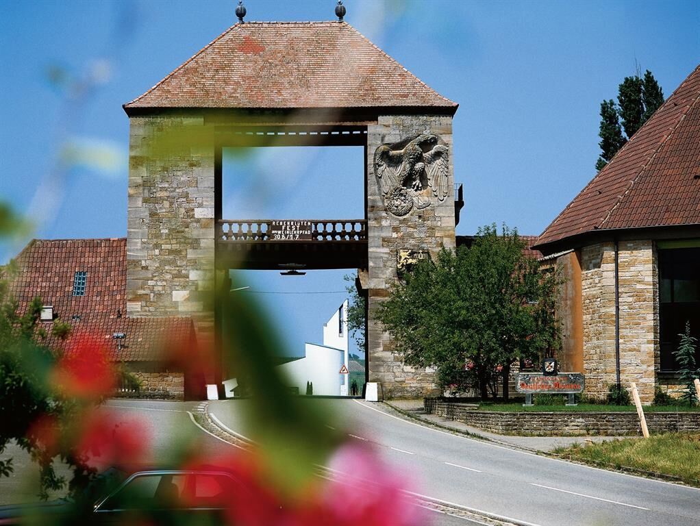
You turn right behind Gleishorbach and remain on the Deutsche Weinstraße hiking trail, which bypasses Pleisweiler-Oberhofen and then leads down to Bad Bergzabern. From here, the Wine Route hiking trail runs through the spa park, at the end of which is a large information board. Over Dörrenbach and Oberotterbach to Schweigen-Rechtenbach to the German Wine Gate. This is the final point of the Deutsche Weinstraße hiking route. The nearest station is on the Alsace side in Wissembourg. You can reach it directly marked by a yellow stripe or red circle on white background. With the regional train, you can return to your starting point of your hike.
Áno
Provisions, sturdy footwear, rain protection
Please pay special attention to agricultural vehicles of the winegrowers during the harvest season.
Especially in autumn, be aware that fallen leaves on the ground can conceal unevenness, roots, stones, or holes in the path. After thunderstorms or heavy rains, trees may still fall or branches may drop. Especially under adverse weather conditions, natural paths can have muddy and slippery sections.
We strive to announce all closures caused by forestry work or hunting societies on this platform. Nevertheless, there are situations where hiking trails are closed and we may not have been informed. If you unexpectedly encounter a trail closure or detour, please follow the instructions for your own safety.
A6 to the Grünstadt exit, then continue via B271 to Bockenheim / A61 to the Worms exit, then continue via B47 and B271 to Bockenheim
You can reach many places along the Deutsche Weinstraße hiking trail by train: e.g. Bockenheim-Kindenheim, Bad Dürkheim, Neustadt an der Weinstrasse, Bad Bergzabern, or Wissembourg in France, to name just a few. For more information and your personal timetable, visit: www.vrn.de
For more information, contact Südliche Weinstrasse e.V. in Landau Tel: 06341/ 940 400 , www.suedlicheweinstrasse.de or Deutsche Weinstrasse e.V. - Mittelhaardt in Neustadt, Tel: 06321/ 91 23 33, www.deutsche-weinstrasse.de
Získajte prehľad
Vždy naživo na mieste s viac ako 9 500 webovými kamerami. bergfex Ako používateľ Pro si teraz môžete pozrieť príslušné webové kamery pre mnohé zájazdy v aplikácii zájazdy z. Môžete si tak priamo prezerať aktuálne podmienky.
Obľúbené výlety v okolí
-
4,5
Annweiler Castle Trail
strednáTuristika 7,72 km -
4,5
From Deidesheim over the Heidenlöcher to Eckkopf
strednáTuristika 14,6 km -
Wachenheim - Eckkopf - Heidenlöcher - Wachenheim
strednáTuristika 12,8 km -
4,8
Zum Saupferch - Jägerthal - Drachenfels - Lambertskreuz
strednáTuristika 10,1 km -
5,0
Rundtour Roth unter Riethburg
strednáTuristika 14,5 km -
4,5
Vom Hambacher Schloss auf die Kalmit
strednáTuristika 11,3 km -
5,0
Palatinate Wine Route stage 05 Neustadt a. d. Weinstraße - St. Martin
ťažkédiaľková pešia trasa 19,8 km -
5,0
Palatinate Weinsteig Stage 08 Dernbach - Annweiler am Trifels
ťažkédiaľková pešia trasa 14,4 km -
Neustadt, Kaltenbrunner Tal, Totenkopfhütte, Hellerhütte, Königsberg, Neustadt Neustadt an der Weinstraße, Rheinland-Pfalz
svetloTuristika 18,1 km -
Drei Burgenweg in Erfenstein
strednáTuristika 7,30 km
Turistika a stopovanie


Nenechajte si ujsť ponuky a inšpiráciu na ďalšiu dovolenku
Vaša e-mailová adresa bol pridaný do poštového zoznamu.





